c) Andrew Carter, 2023
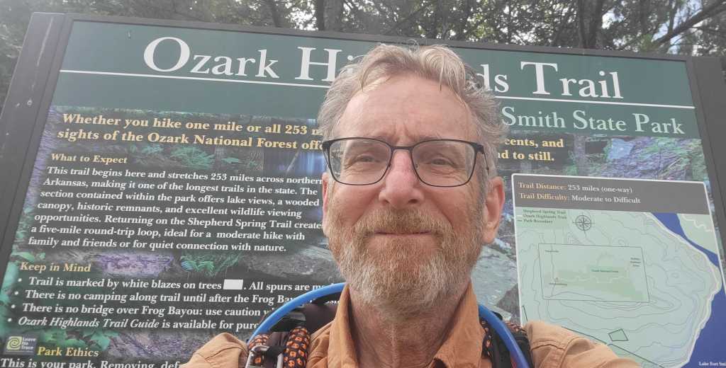
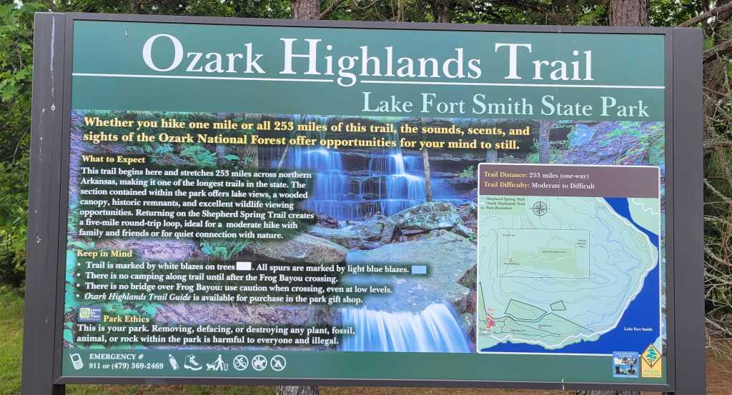
On May 8th, I went to Arkansas to hike the 254-mile Ozark Highlands Trail (OHT) and the 223-mile Ouachita Trail. In the end, I only hiked the OHT. It’s the first time in my life I’ve abandoned a hike halfway through. For me at least, that’s a sign of maturity. I wasn’t having fun, so why continue?
Why wasn’t I having fun? There was way too much poison ivy, which I’m allergic to. There were too many ticks, which can can give you Lyme Disease. There were too many creeks to ford, some of which were impassable. And there were almost no views.
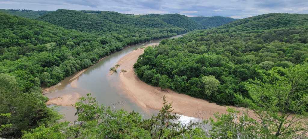
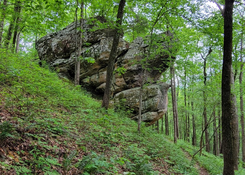
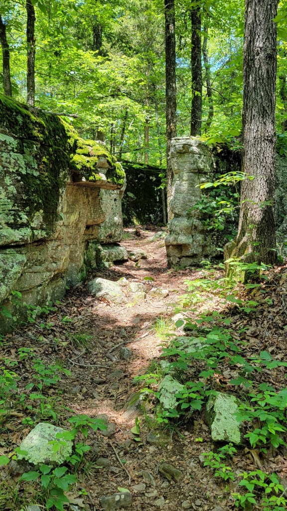
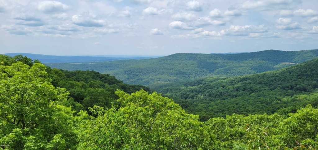
The OHT is a low-altitude woodlands trail. On its entire length, the trail never gets above 2250 feet. In fact, the eastern half never gets above 1000 feet. The tree canopy is thick. During leaf season, the best a hiker can count on is a view every two or three days. That’s right, one view every two or three days. (Putting “two” in the previous sentence may be too generous.) What views you get tend to be partial views. Since the trail is low, those views are never sweeping. No expansive views with ridge after ridge of mountains. Just one ridge, one valley, one creek or river.
The Appalachian Trail (AT) is often called “the long green tunnel” because hikers spend so much time in the woods. But on the AT, you tend to get at least one good view a day, usually more. The OHT should be called “the shorter, greener tunnel.”
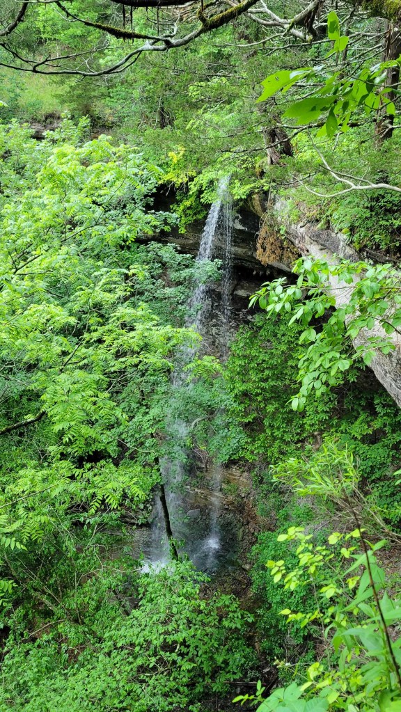
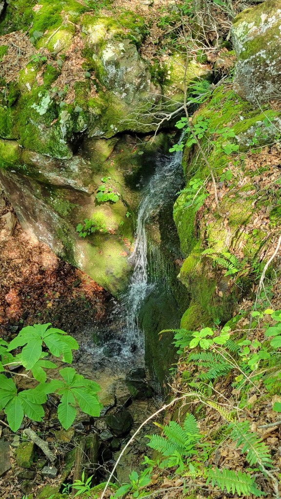
To be fair to the OHT, the western end includes many waterfalls which make up in part for the lack of views.
The weather also wasn’t great at the beginning of my hike. The first six days, it rained part of each day. You shouldn’t be hiking if you’re not prepared to suffer through the weather, so this wasn’t a deal-breaker for me. I had forgotten about humidity, however. I grew up in the humid East but have lived in dry California the last twenty-five years. I had forgotten that when it’s humid, unless the sun is brightly shining, nothing will dry out. As a consequence, I was wearing damp clothes for six days straight. (I always make sure I have dry clothes to sleep in.)
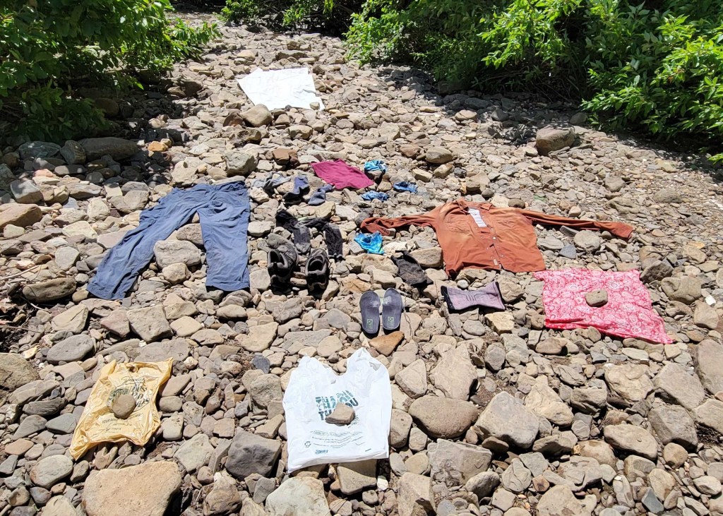
Let’s talk about the fords. There are a lot of creeks to cross on the OHT because the trail is so low, but there are very few bridges to use. Instead, you have to walk across each creek. In the summer and winter, that usually involves rock-hopping. Unless you slip, you’re able to get across the creek without getting your feet wet.
In the spring and fall, however, rock-hopping isn’t always possible. Instead, you do have to get your feet wet. This can mean walking through the creeks with your hiking shoes on or it can mean stopping at every creek, taking off your pack, taking off your shoes, putting on water shoes, rolling up your pant legs (or taking off your pants altogether), stowing your hiking shoes (and perhaps your pants) in your pack, putting back on your pack, then wading across. Once you’re on the other side, you do all these things in reverse order to continue on your way. What’s more, this is a “rinse and repeat” activity. It’s not unusual to have three or four fords a day.
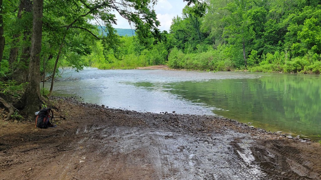
Because of the rain, in particular a deluge on the second night, the creeks were running very high. On Day 3, I was scheduled to cross Big Creek, which according to my guidebook is at least up to one’s knees all year long. I assumed it would be unpassable, so I left the trail three miles before I came to the creek and followed a fire road into town. From there, I was able to hitch around the creek on a state highway. Sure enough, when I crossed the creek on a highway bridge ten miles upstream from the ford, the creek was a raging torrent.
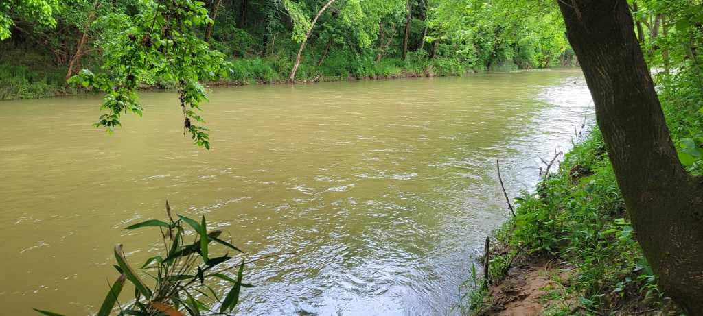
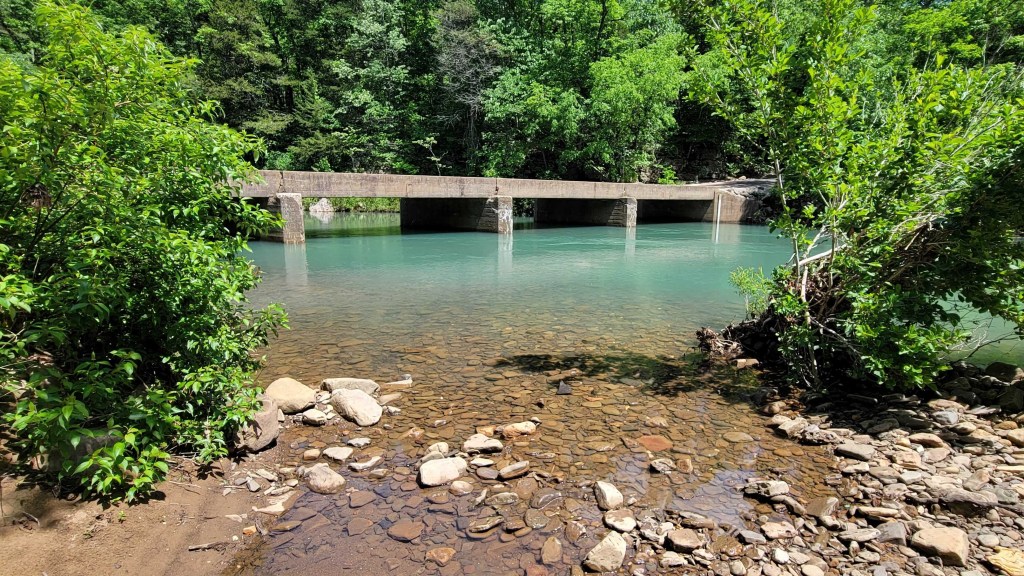
On Day 5, I came to another unfordable creek. This one was called Bear Creek. (You’ll find a picture below.) This time, I followed a county road into town. From there, I hitched once again on a state highway to get around the creek.
Beyond these two impassable fords, I had two thigh-high fords, one waist-high ford, and dozens of ankle- and calf-high fords. This was true even though I often took detours (some short, some long) on fire roads or county roads, figuring that the fords of creeks on these roads would be easier than the fords of the same creeks on the trail. One of the thigh-high fords was at a road crossing. Given that, the ford on the trail eight miles downstream might have been impassible.
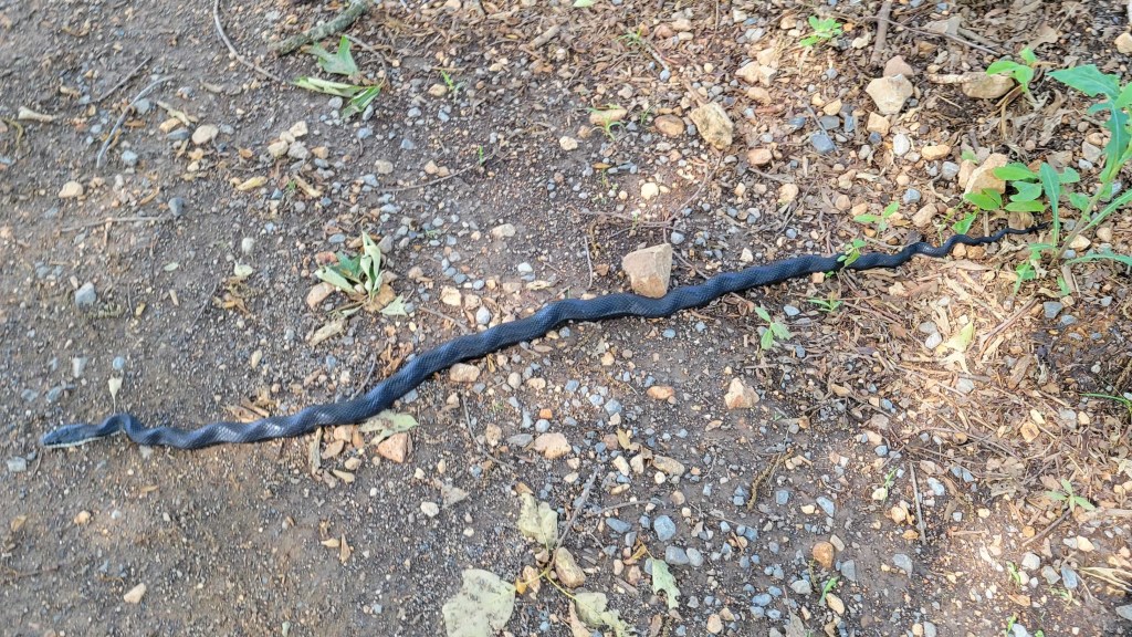
I mentioned poison ivy and ticks. Because the OHT is so low and isn’t intensely used, it has a lot of undergrowth. Unfortunately, much of that is poison ivy. I’m very allergic, so I always had to pay attention to where I was walking. That’s true even wearing long pants. Knowing there would be poison ivy on the trail, although I never expected so much, I did bring Tecnu.
Tecnu is a lotion which is used to wash away urushiol, the poison ivy oil which causes the allergic rash. It’s amazing stuff and truly works. There were several times at lunch or at the end of the day that I used Tecnu on all my exposed skin, including my neck and head. Why the neck and head? Because poison ivy is a vine which can climb trees. Often, you’re so focused on the ground that you forget to make sure you don’t accidentally brush against a tree which has poison ivy on it.
Thanks to my caution, to Tecnu, and to luck, I only suffered rashes from the poison ivy in a few small places.
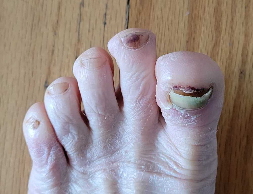
As for the ticks, the issue wasn’t the ones you can see, but the ones you don’t initially notice. These are ticks in their larva or nymph stage. The ticks can be the size of a poppy seed. Some are black. Others are translucent brown. The brown ones are particularly hard to spot. There were four or five times I found ticks which had already bitten me. I’m on a prophylactic regimen of antibiotics right now to ward off Lyme disease.
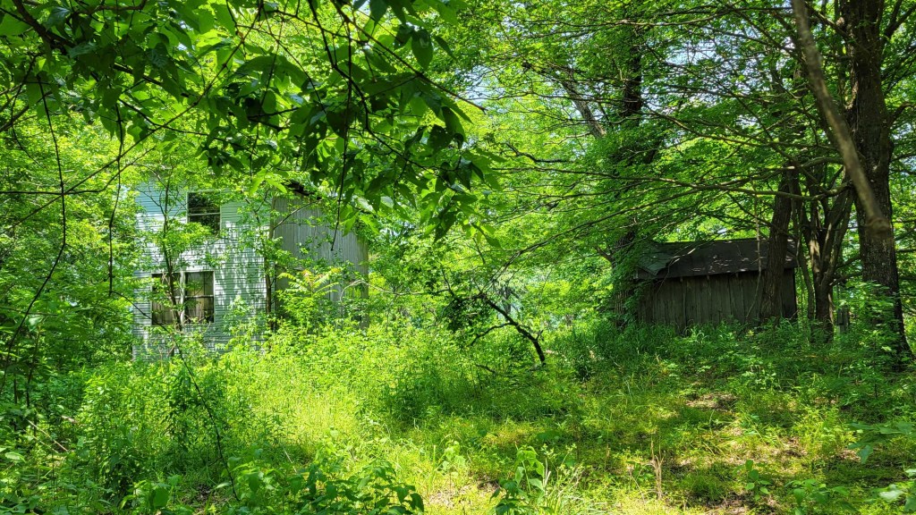
Because of poison ivy and ticks as well as the roughness of the trail (rocks and side slant), I began to take fire road detours off the trail instead of staying on the trail itself. As my hike progressed, I spent more and more time on fire roads. Arkansas has an incredible number of dirt roads and gravel roads in its national forests. Hiking them was more enjoyable than hiking the trail. I was able to enjoy the woods around me instead of having to focus on the rocks in front of my feet.
Using fire roads was also faster. This was important on two days when I was scheduled to pick up a package of food at a post office. Rural Arkansas post offices tend to be open only in the morning. If you miss the closure time (noon or 12:30 pm), you’ll have to stop, camp nearby, and wait until the post office opens the next day.
Speed was also important because I’d planned my hike before I learned my son was getting married in June. As a result, I had two days less to hike the OHT than originally planned.
At the end, speed was also important because I simply wanted to get my hike over with. I ended up hiking the OHT in 13.5 days. My original plan was 16 or 17 days. My accelerated plan was 15 days.
A sidelight of hiking fire roads was that I saw more people this way, especially on the weekends. A lot of Arkansas residents and residents of nearby states use these roads to recreate in their two-wheel and four-wheel all-terrain vehicles. Many stopped to chat when they saw me.
On the OHT itself, I didn’t see another soul until Day 9. In 13.5 days of hiking, I ended up seeing five overnight hikers (a group of two and a group of three) and six dayhikers (two groups of two and two singletons). It turns out the western end of the OHT is more used than the eastern end, but no part of the OHT is truly heavily used, especially in the spring and summer.
All the locals I met on my hike were very friendly. Those who stopped to chat on the fire roads wanted to know what I was doing, how I was doing, was I enjoying myself, was there anything they could do to help. The two people who gave me rides around the unpassable fords went out of their way to take me to trail crossings on side roads even when I said, “You can let me off here. I can walk the rest of the way.” In a separate incident, a woman in truck saw me hitching from town back to the trail. She was headed in the opposite direction, yet she turned around, picked me up, and drove me to the trailhead. In addition, I twice had people ask me if I needed any money. (Dirty hikers are often confused with the homeless.) Both times, I thanked the person and said, “I know I look like a bum, but I’m a retired bum with Social Security and a small pension.”
That’s all for now. Enjoy my Arkansas trail hike photos below.
In case you’re wondering, I plan to finish the Pacific Crest Trail in August. I have 80 miles left to hike at the northern end. I wasn’t able to complete those miles last year due to wildfire. In fact, I also plan to re-hike the 180 miles before that because I found the Cascades of northern Washington so incredibly beautiful.


I heard music from 5 miles away the night before
and couldn’t figure out what it was.
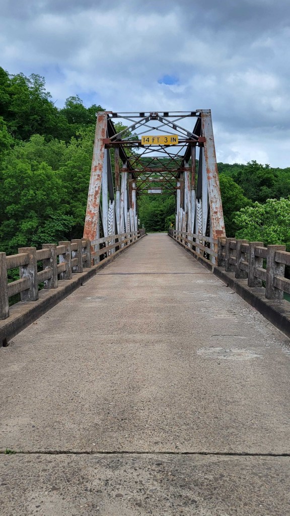
This is a one-lane state highway bridge.

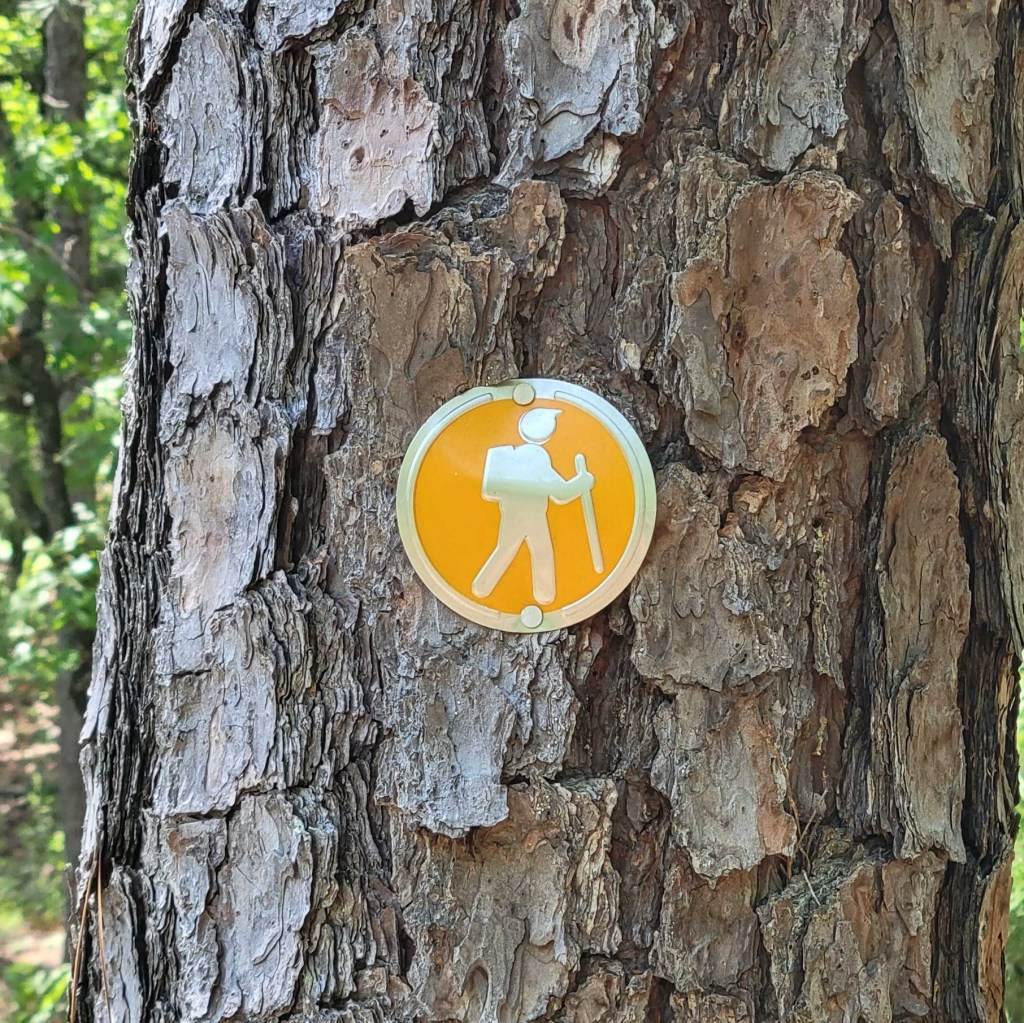
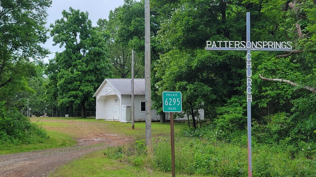
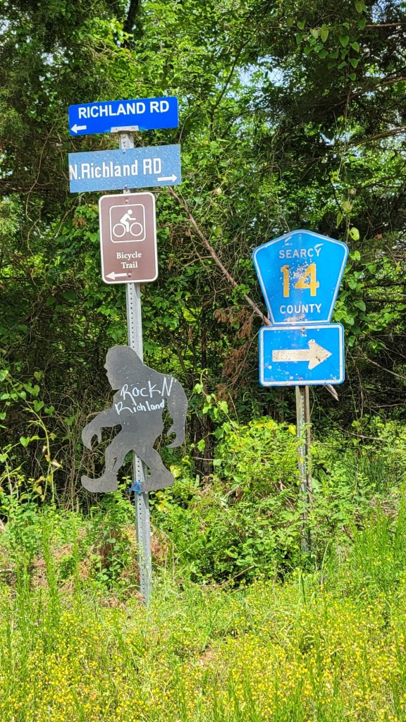
I only saw this sign in one place.
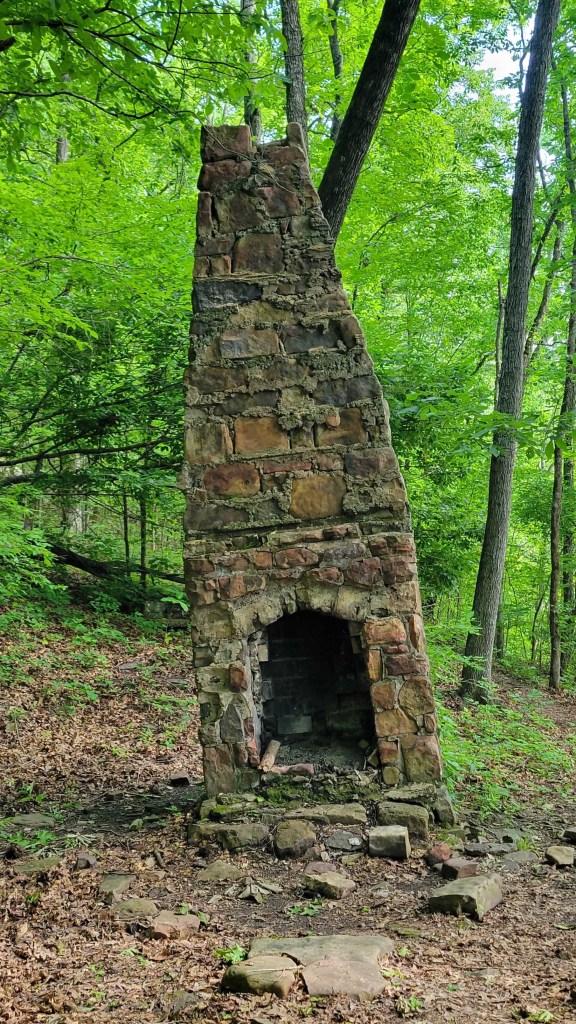
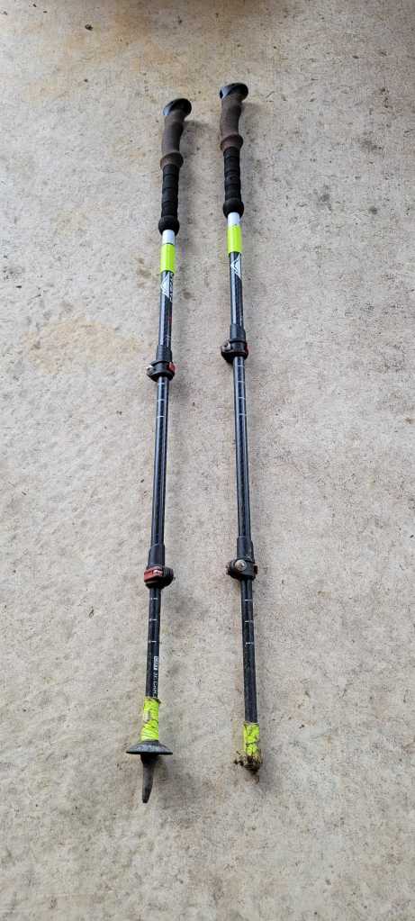
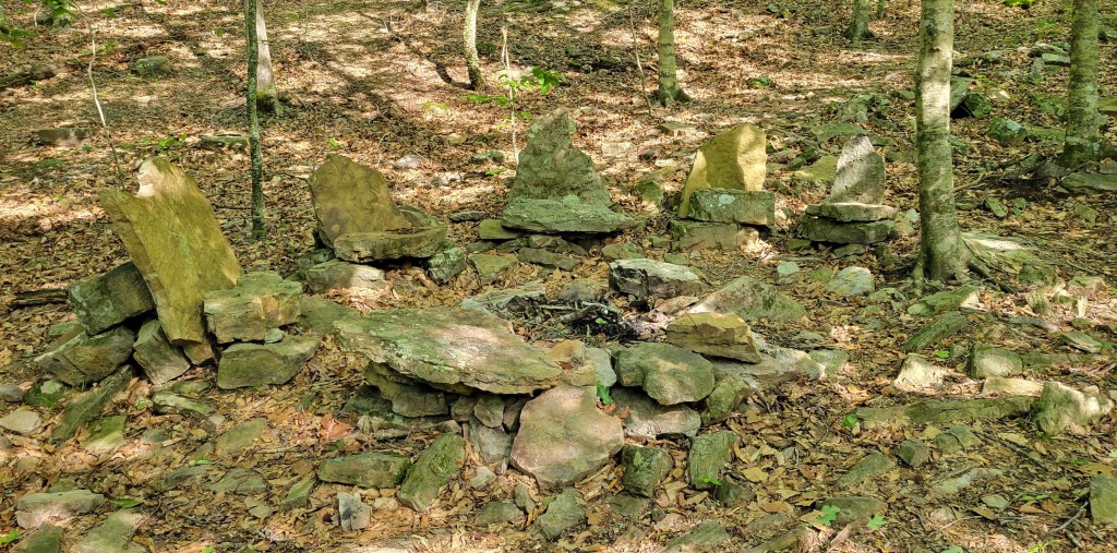
The one on the left has lost its point.

Andy, Come to Peter Tauck’s house the weekend of 8/5 in Lake Placid! Hike the ADKs.
LikeLike
I’m afraid I’m already scheduled to hike in WA at that time. The reunion came at a difficult time for me — too many already scheduled summer trips, the August hike plus three weddings (son, niece, child of my wife’s best friend from college).
LikeLike
Understood. Too bad. Would have enjoyed seeing you.
LikeLike
Ditto. I feel like a bum on this. I simply wasn’t able to rearrange my schedule unless I canceled my hike, and I need to get the PCT done!
LikeLike