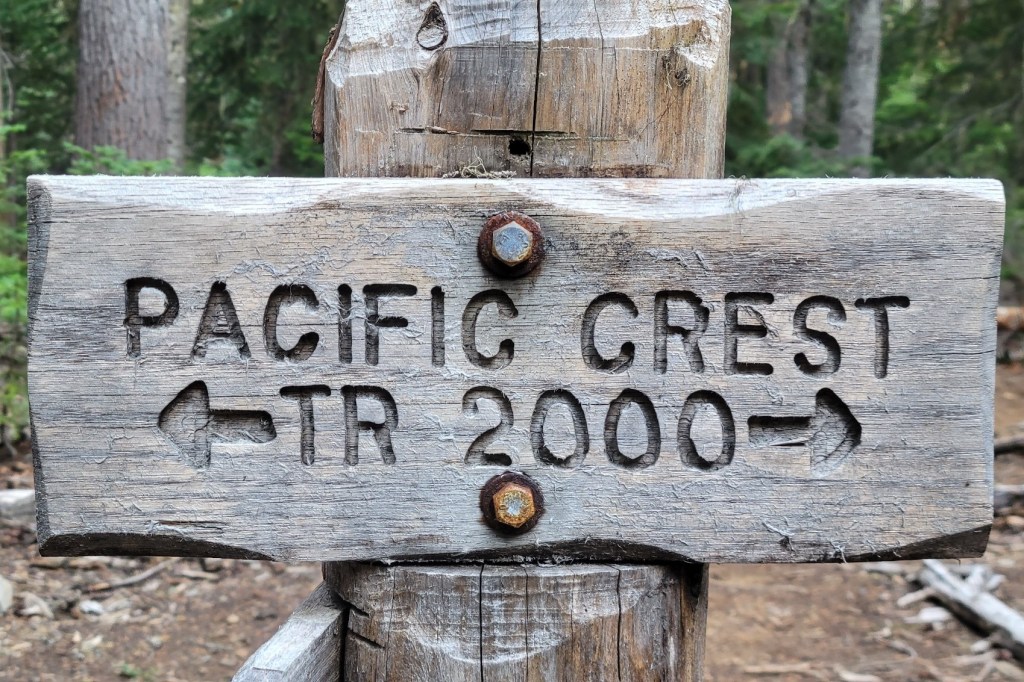
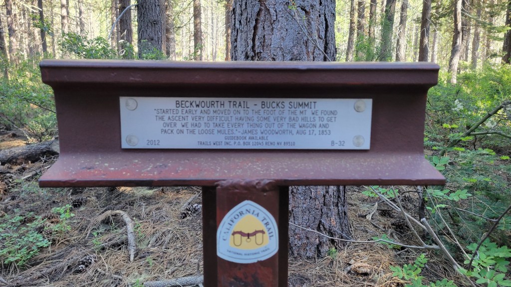
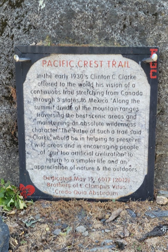
I just completed a multi-year thru hike (MYTH) of the Pacific Crest Trail (PCT). It took three years. I hiked 1840 miles in 2021, 733 miles in 2022, and 122 miles in 2023. The only reason I had to hike in 2023 was a wildfire closure at the north end of the PCT in 2022. During the past two years, I've also thru hiked other, shorter US trails. I hiked the Benton MacKaye Trail (GA, NC, TN) and the Tuscarora Trail (VA, WV, MD, PA) in 2022 plus the Ozark Highlands Trail (AR) in 2023. I hope to hike the Long Trail (VT) next year and the Colorado Trail at some point in the future. Please note, all content on this site is copyright.
Just after I recorded this, I learned that the trail I was on was officially closed due to the Caldor Fire. A beautiful blue sky day made me too optimistic.
As I write this three weeks later, this portion of trail hasn’t burned, but the portion of trail I was on at the end of the same day near US Route 50 at Echo Summit, has.
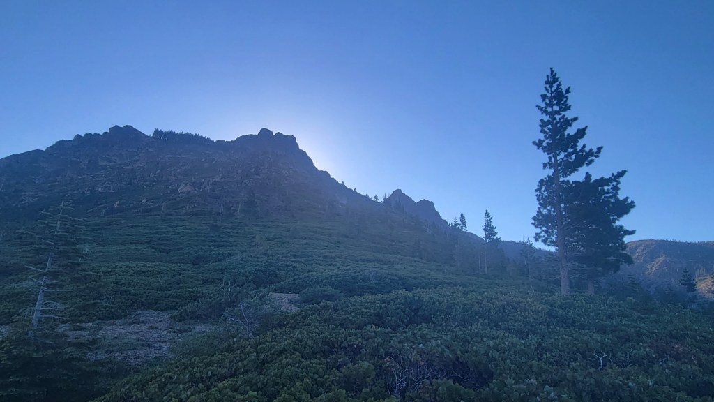
And here’s a photo of the morning sky and sun 24 hours earlier.
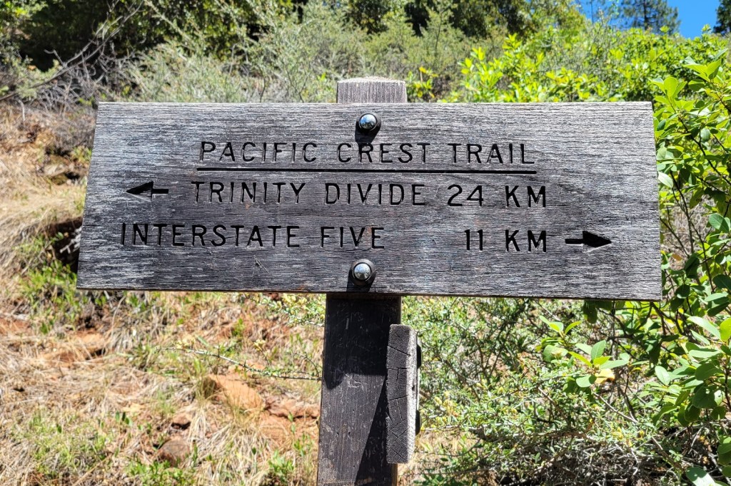
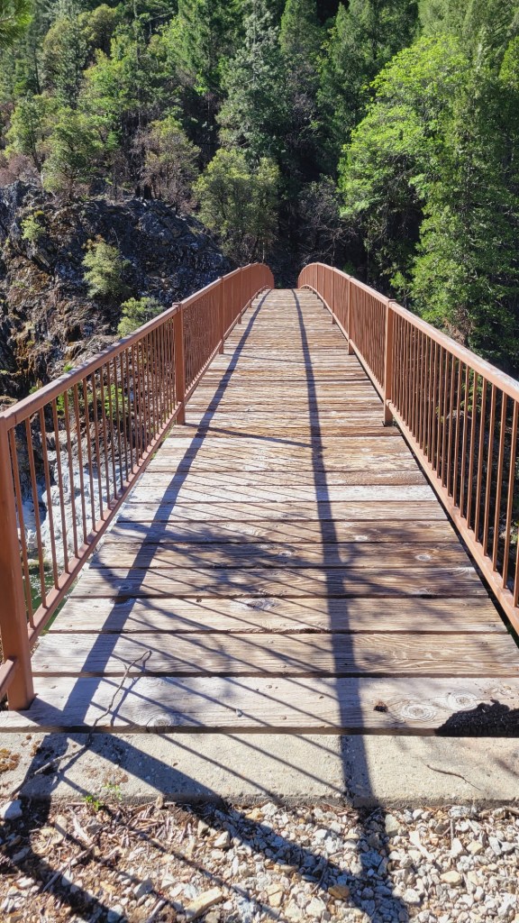
The PCT uses a culvert to cross under Interstate 80 near Donner Pass. The PCT goes north/south from border to border. I-80 goes east/west from coast to coast. Foot path vs modern highway.
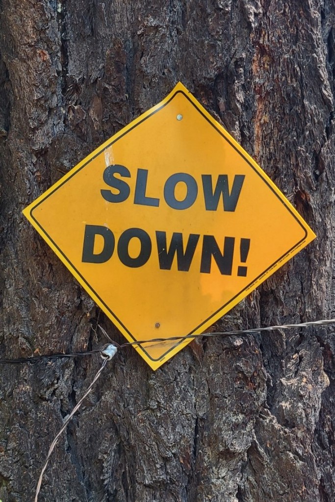
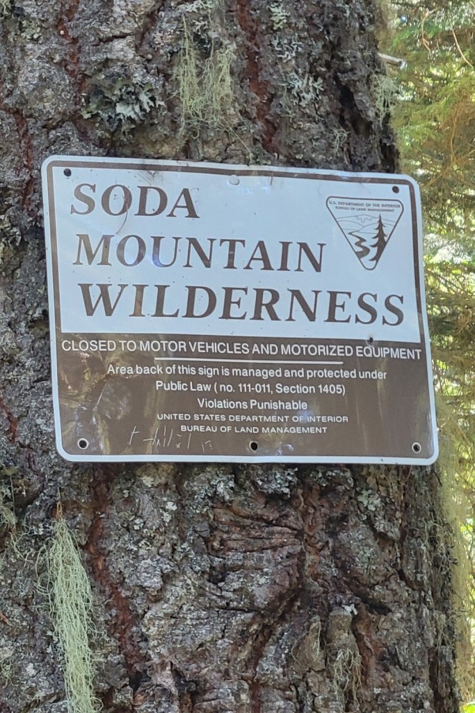
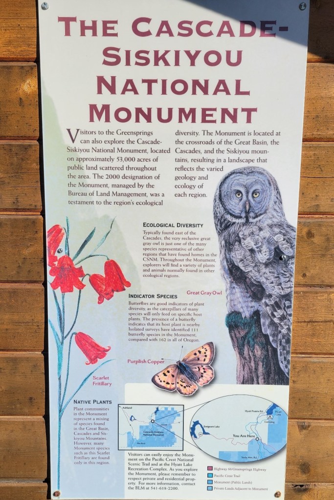
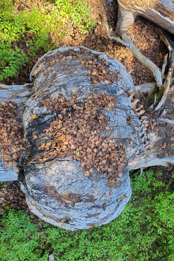
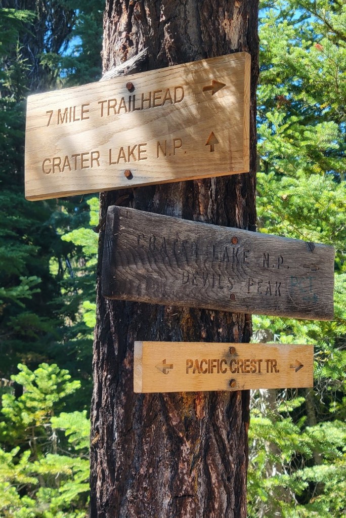
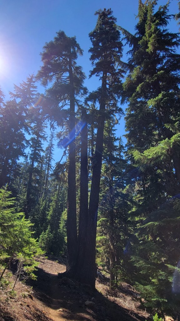
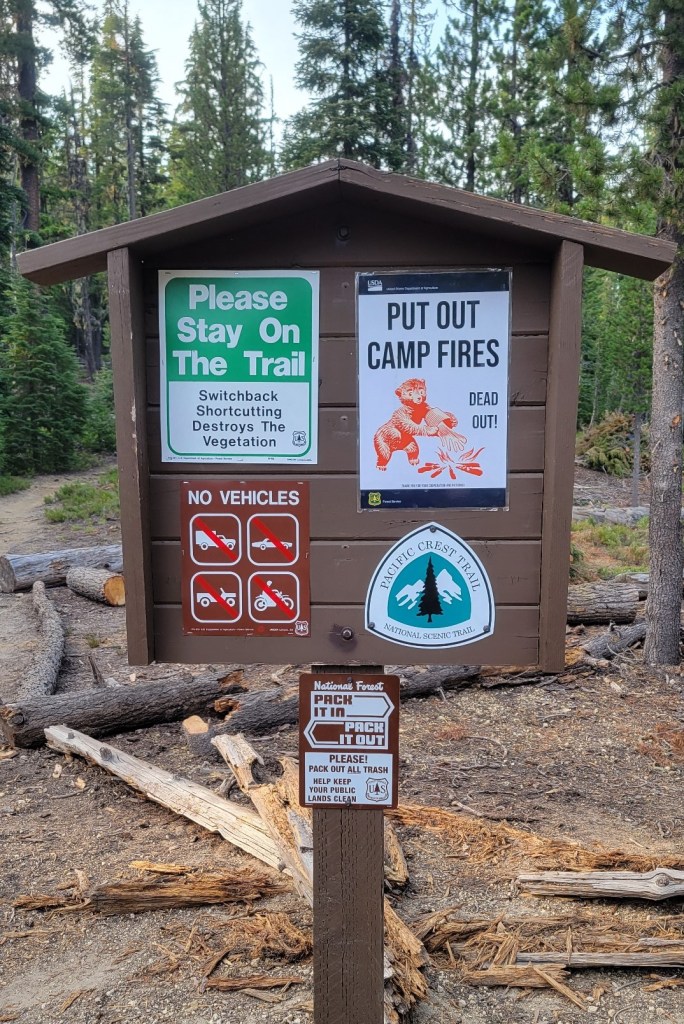
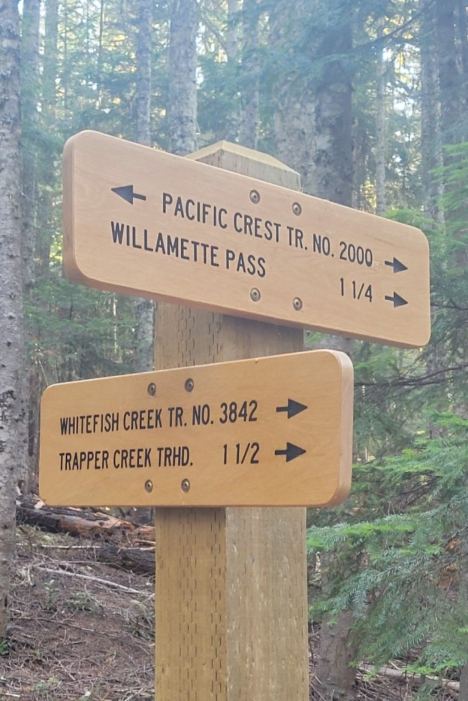
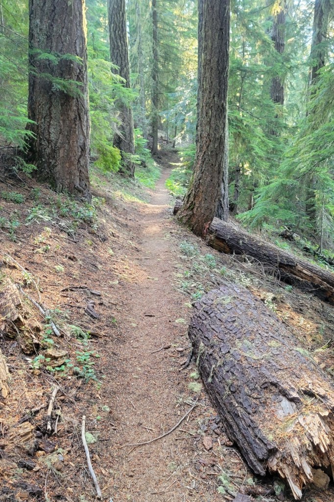
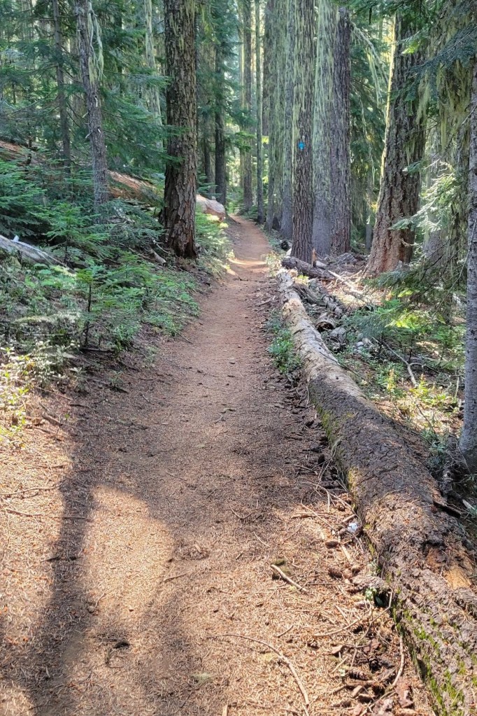
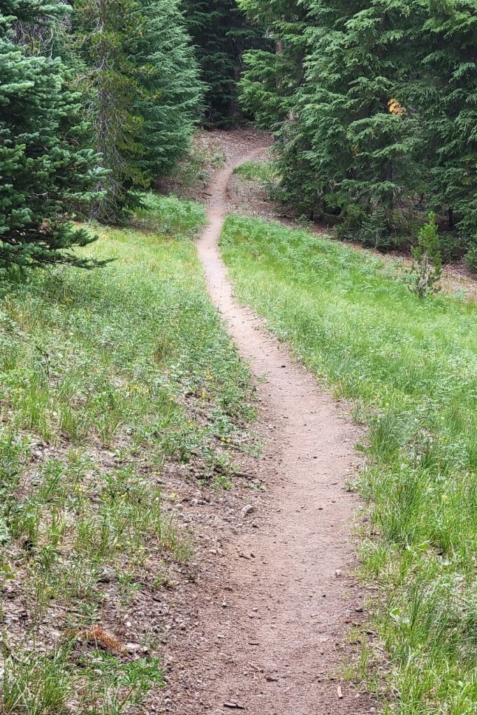
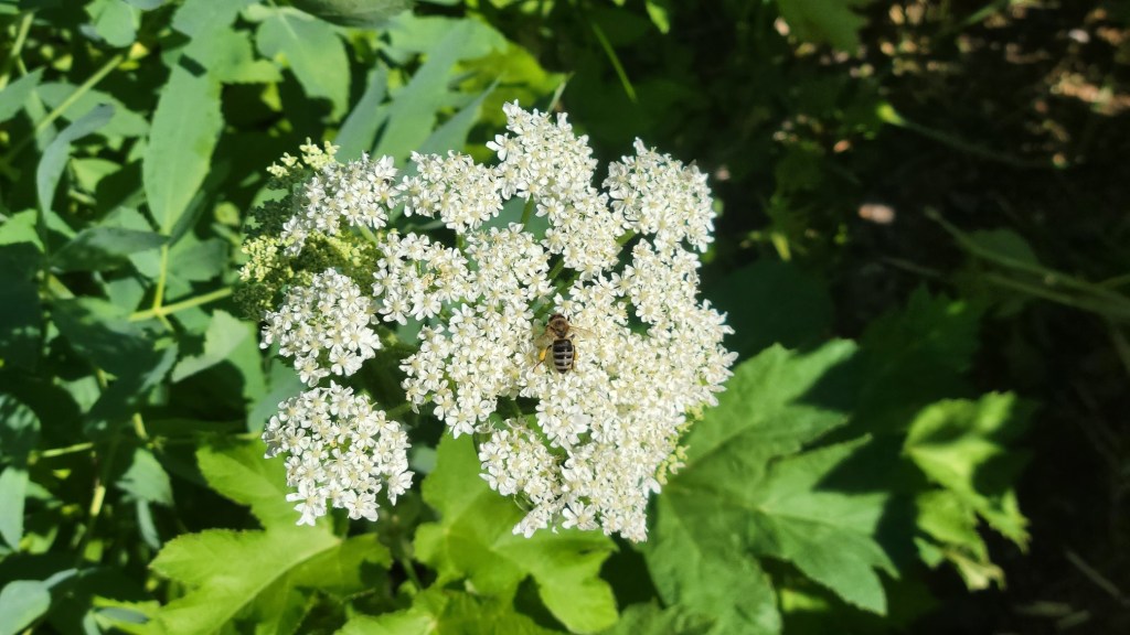
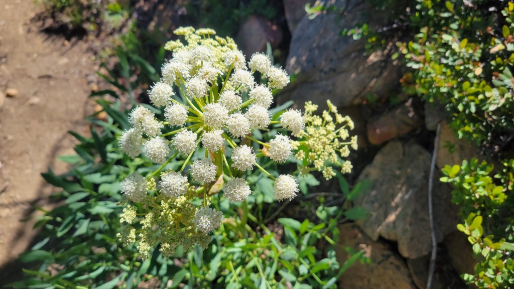
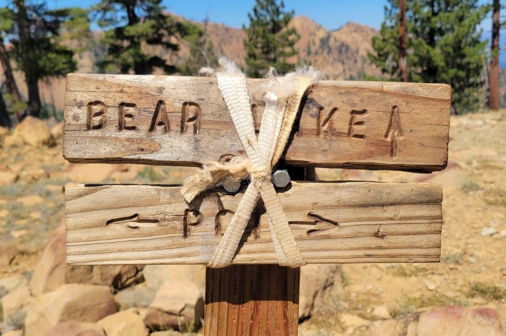
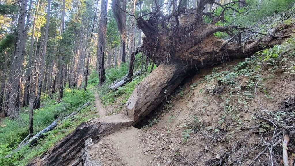
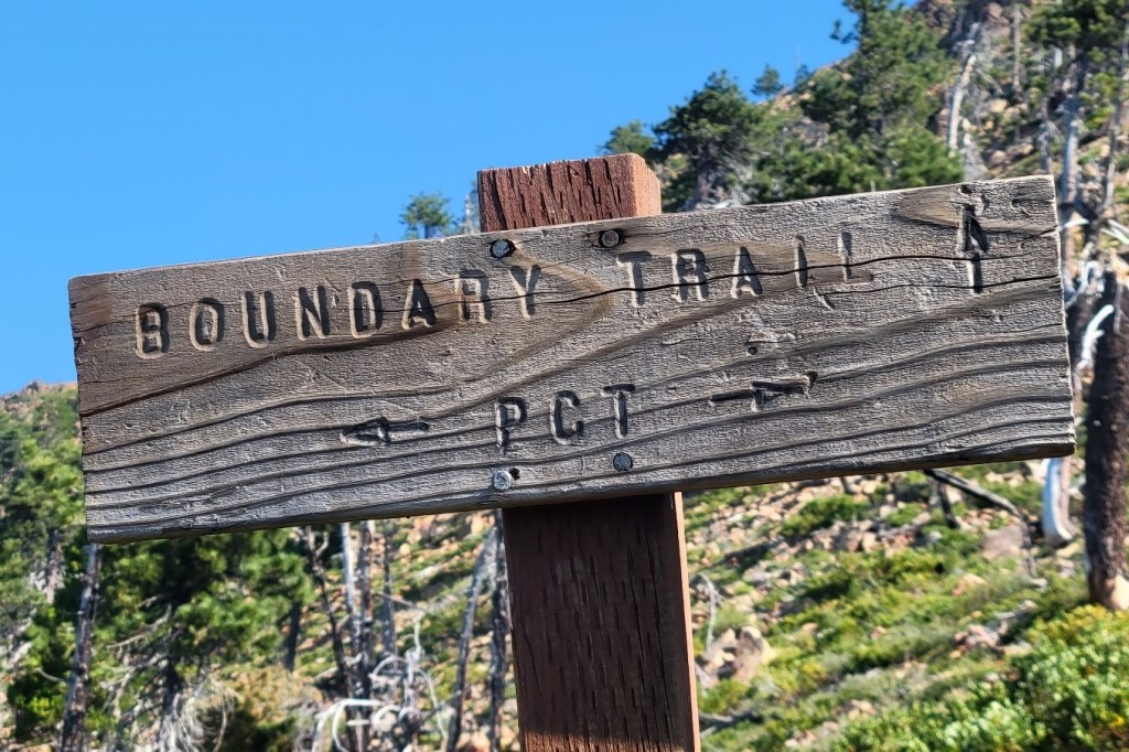
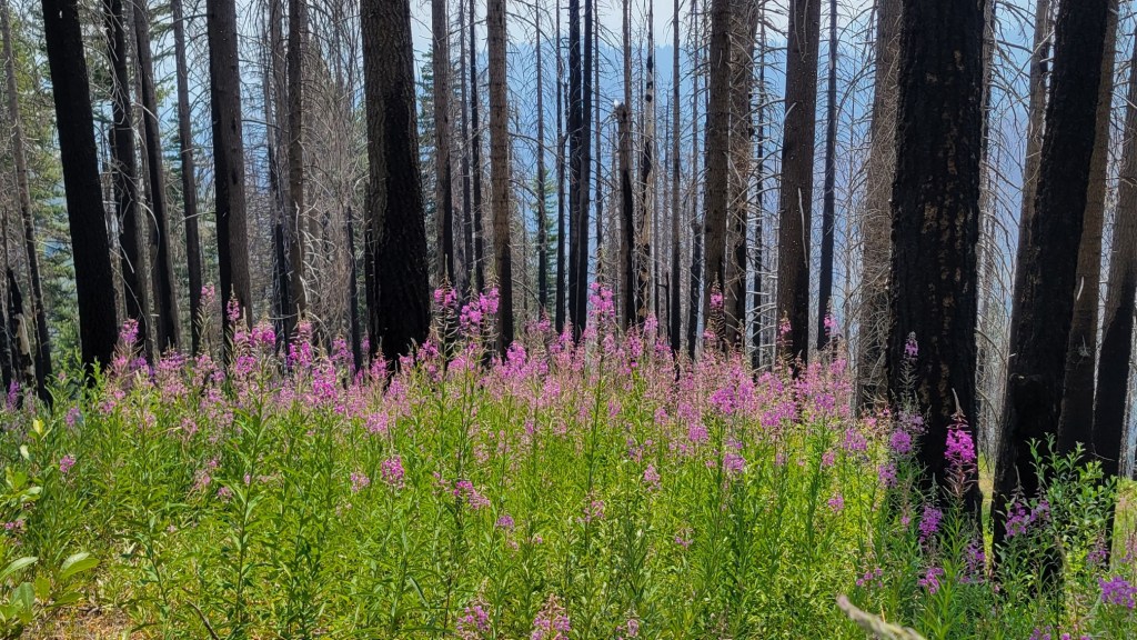
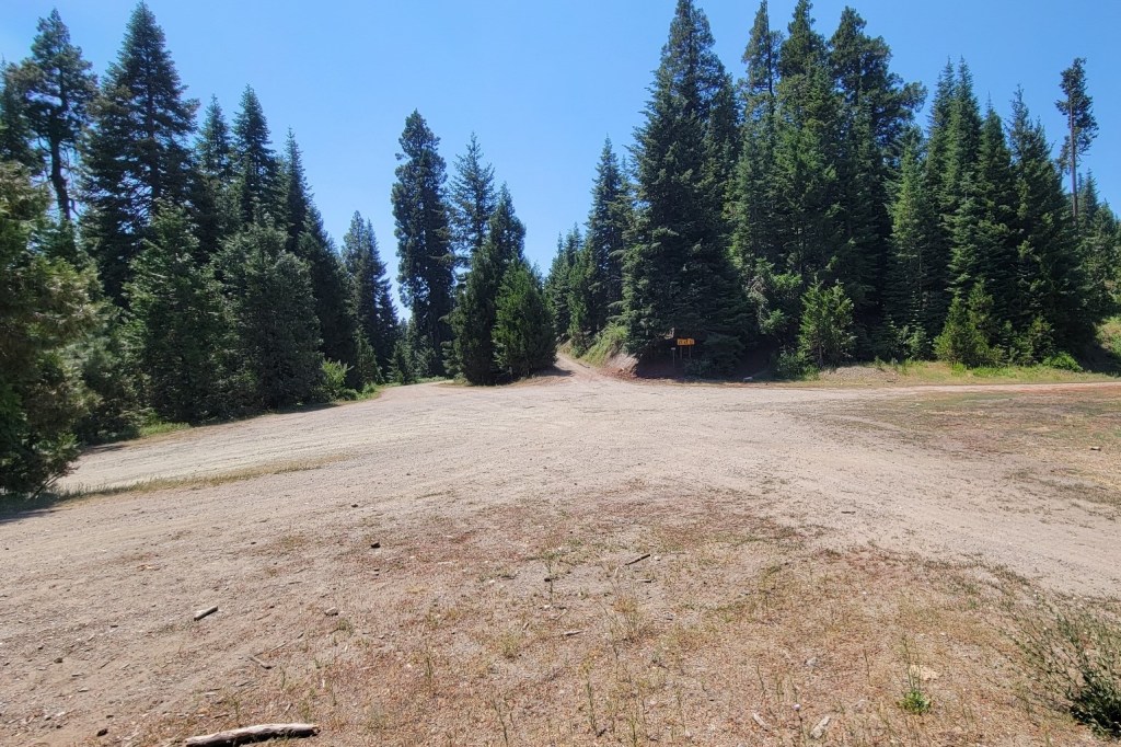
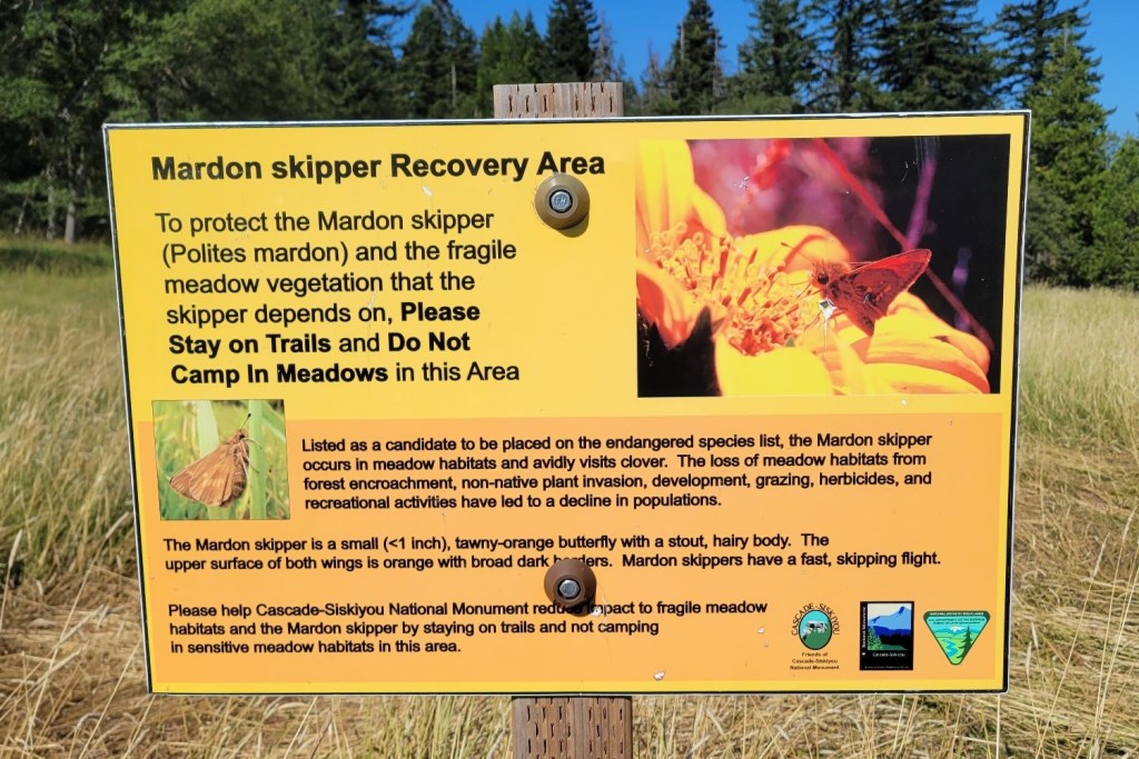
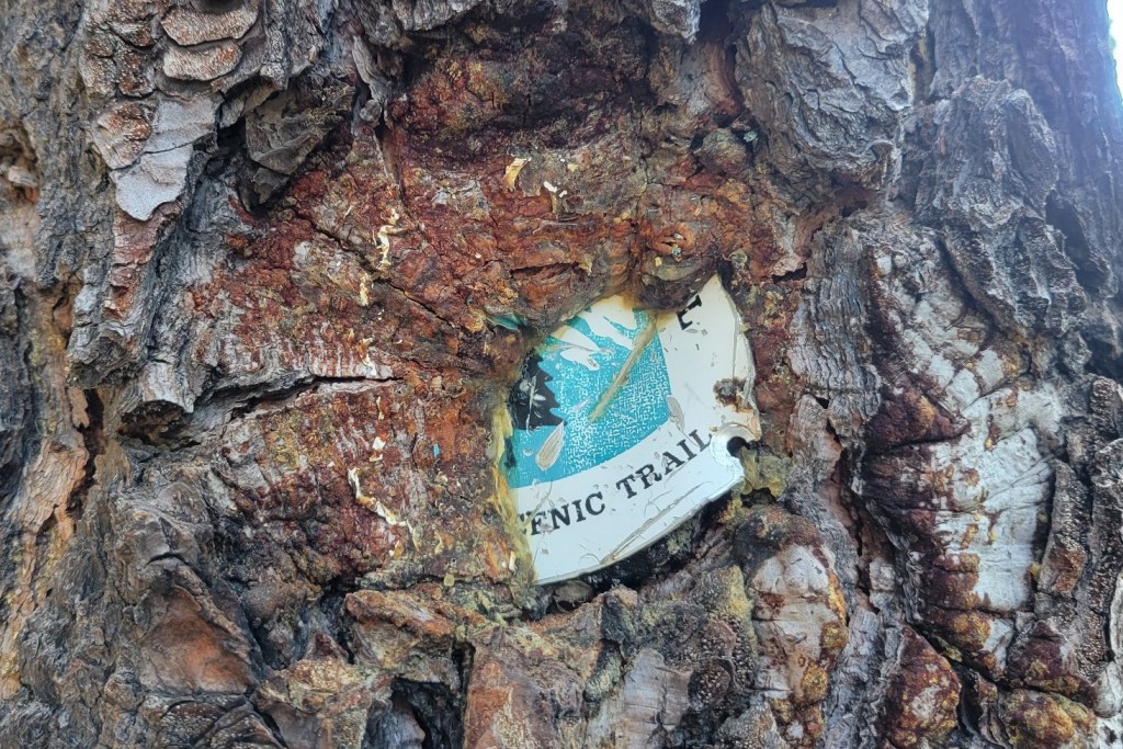
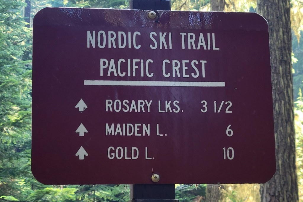
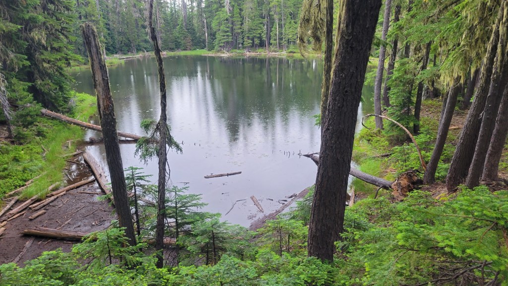
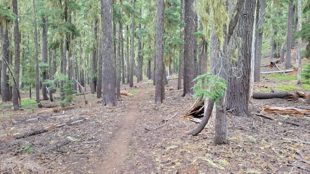
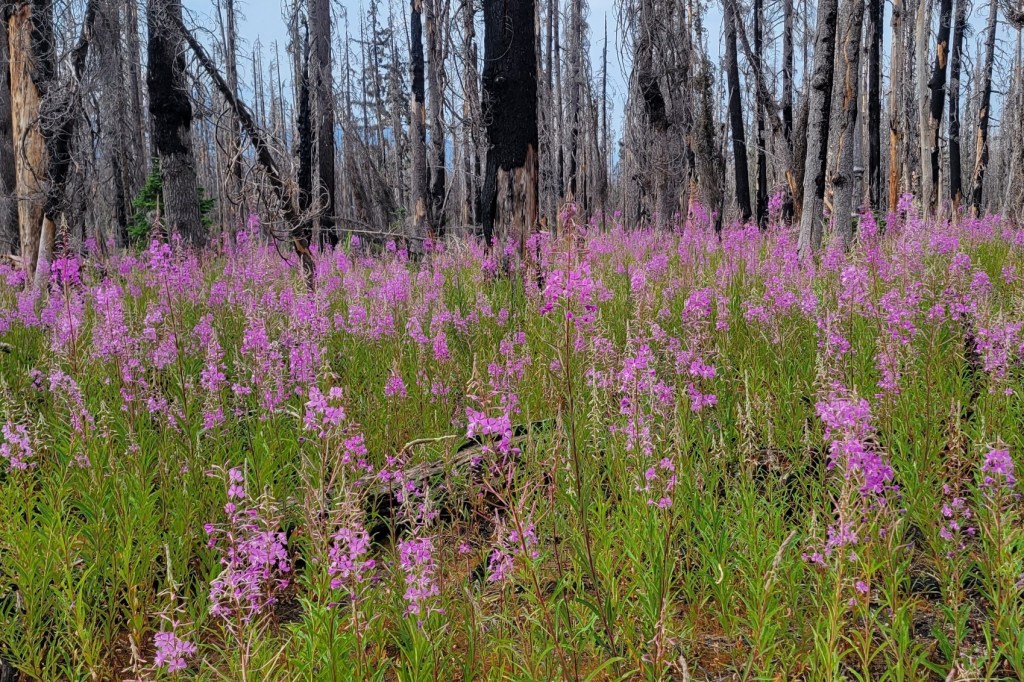
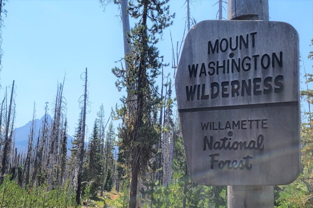
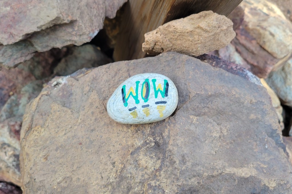
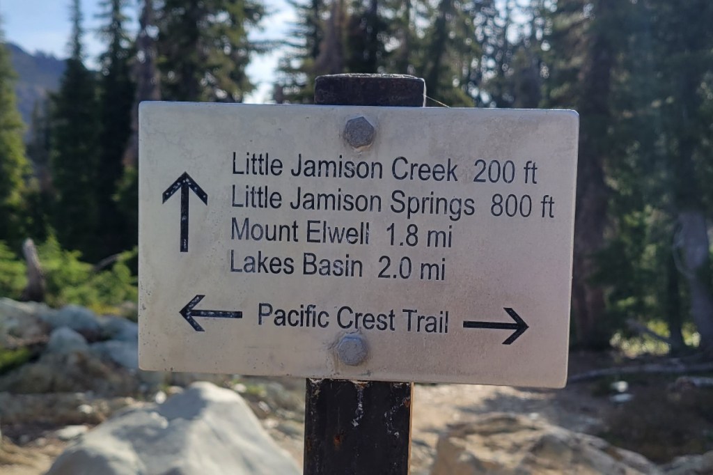
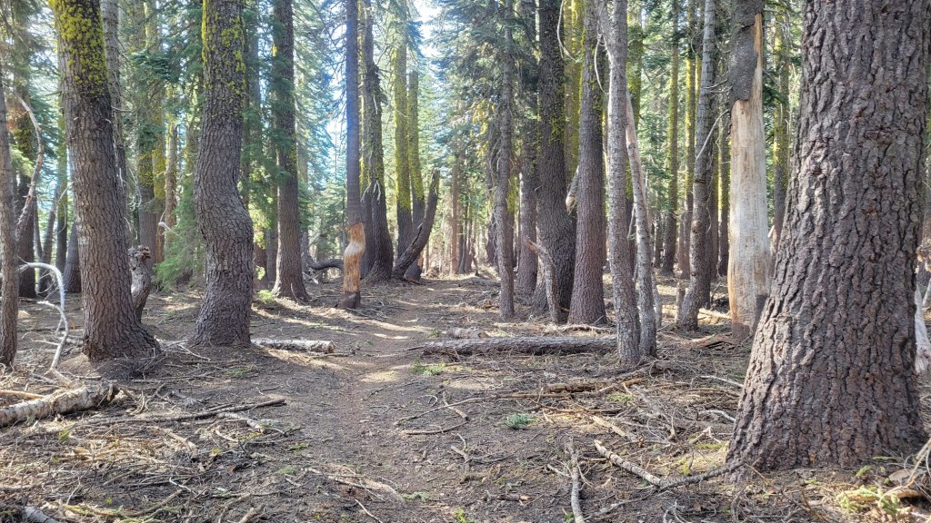
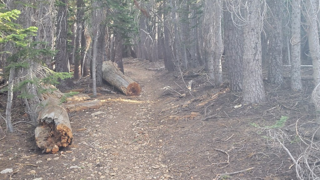
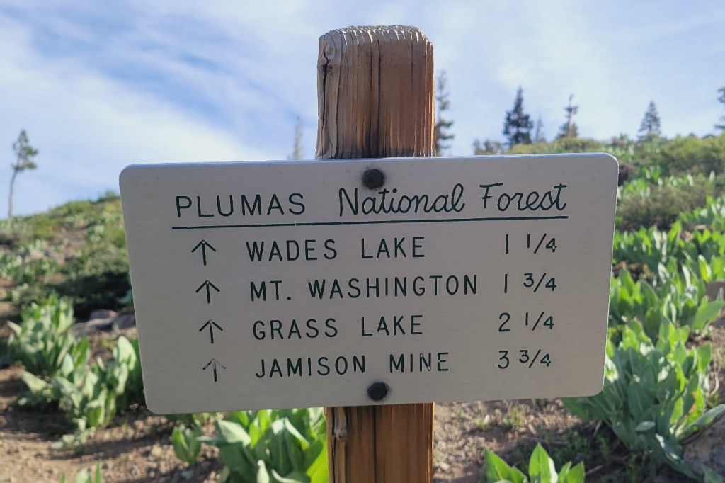
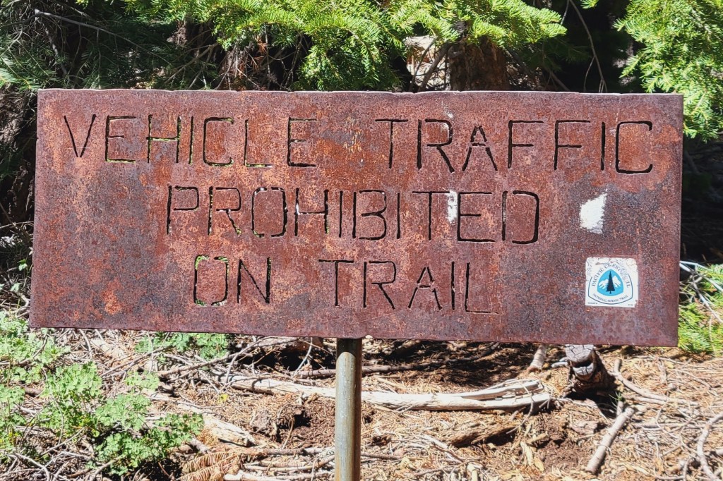
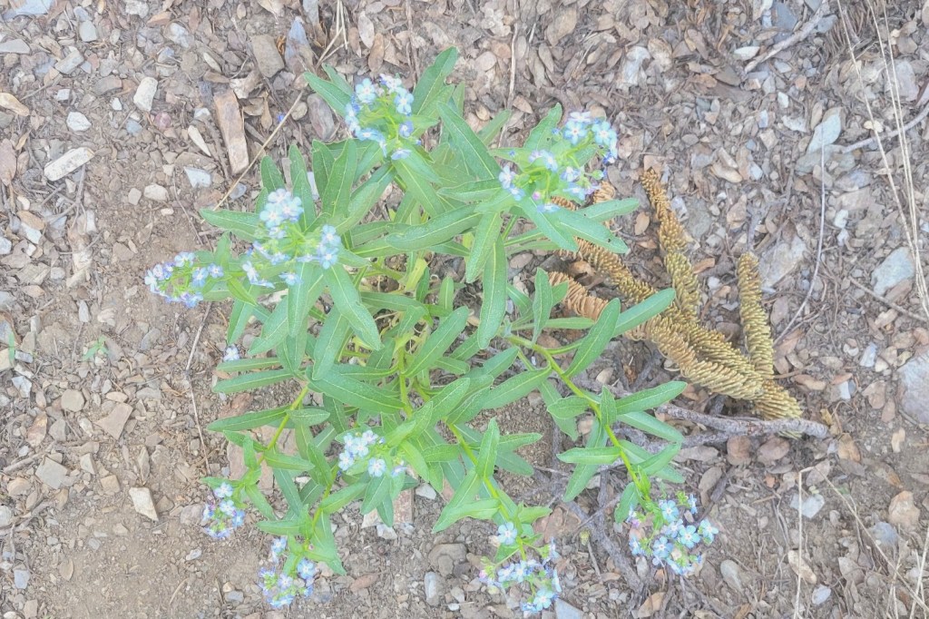
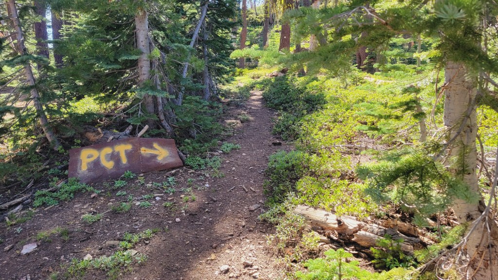
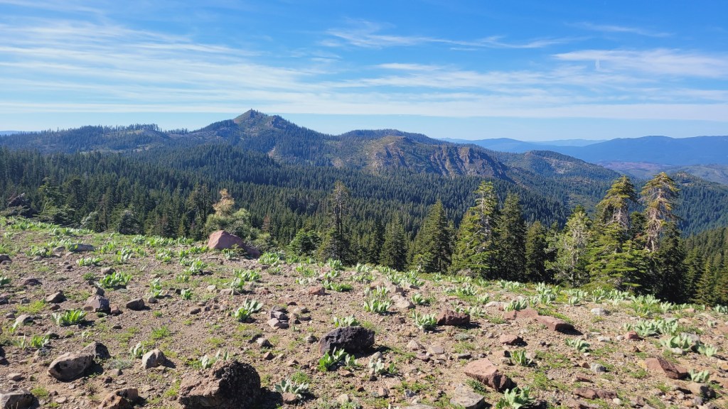
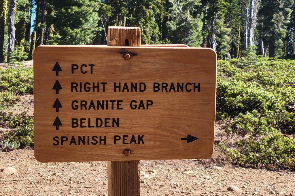
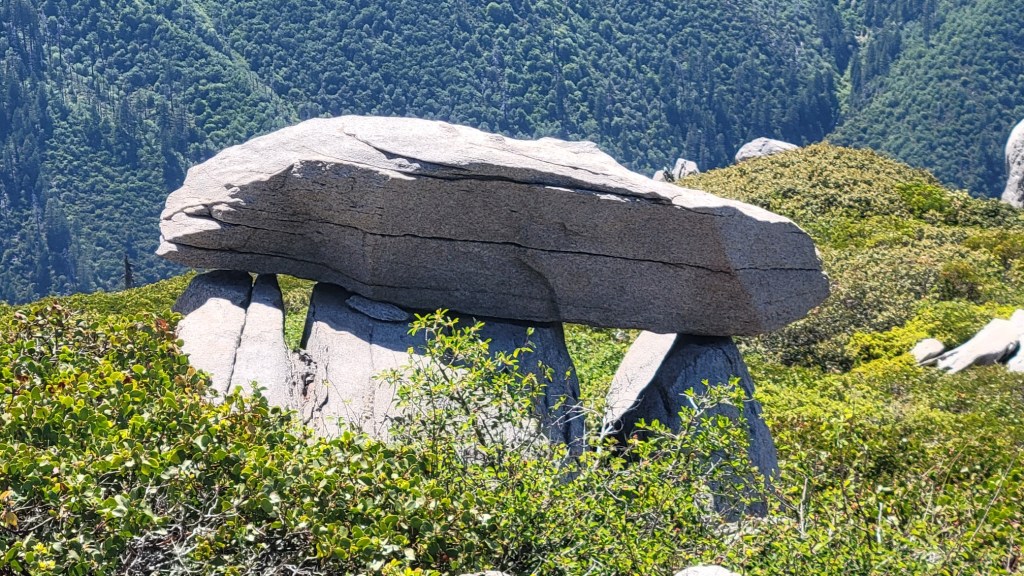
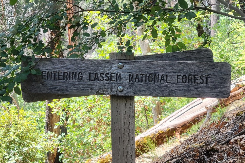
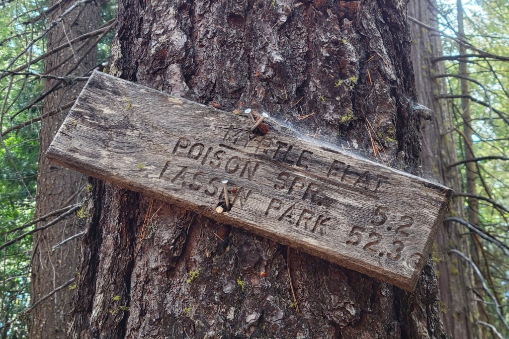
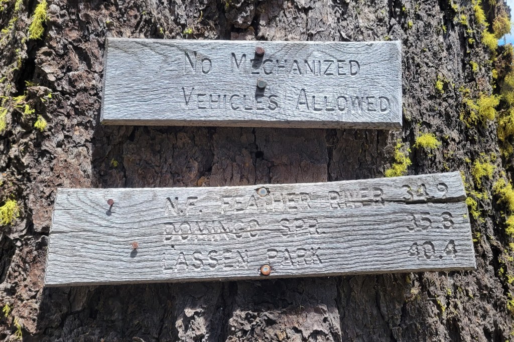
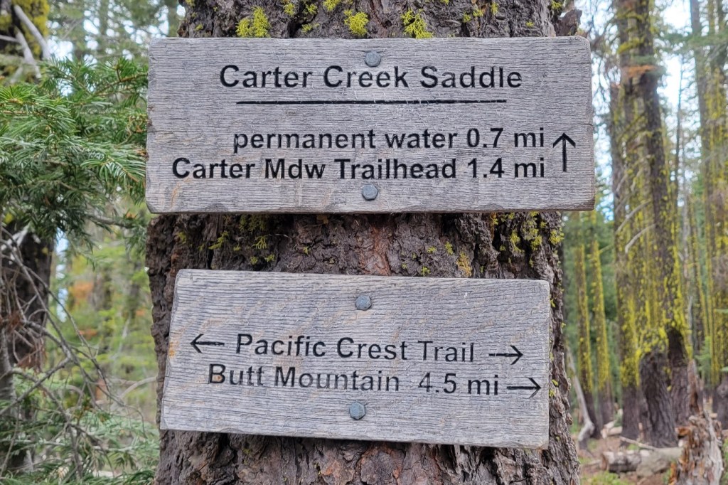
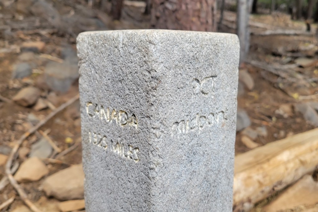
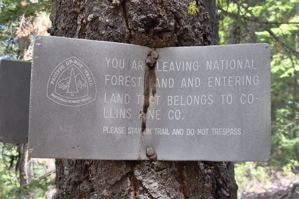
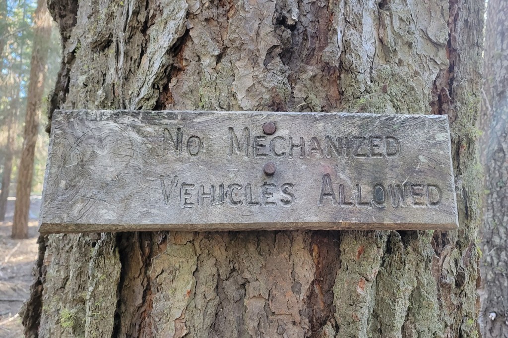
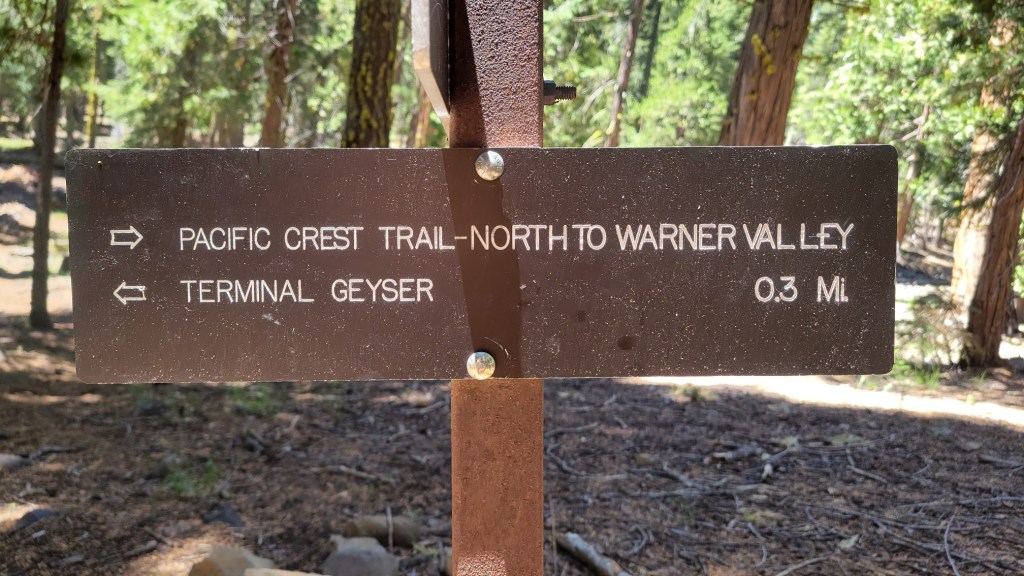
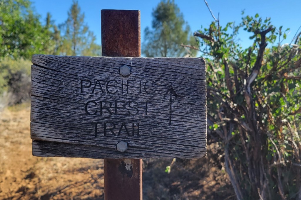
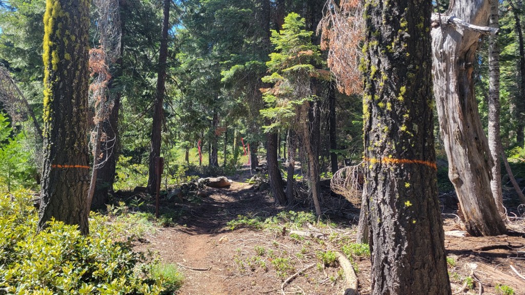
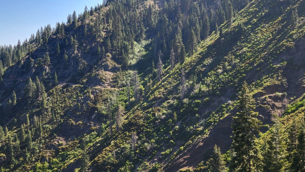
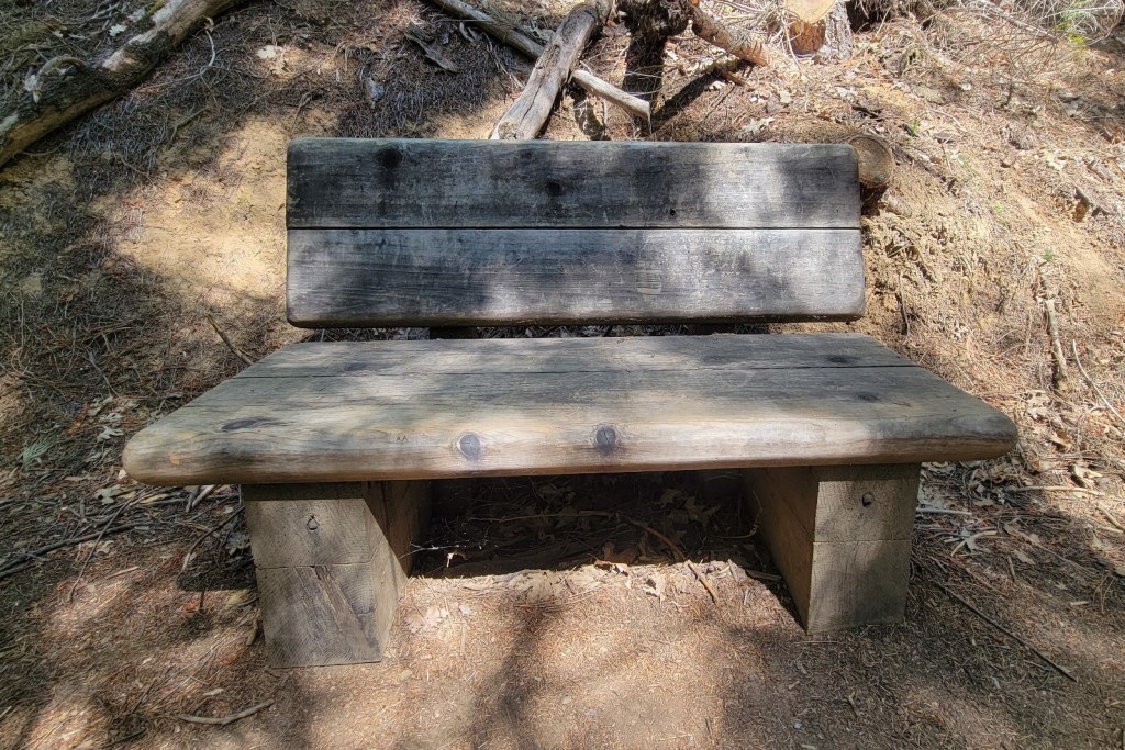
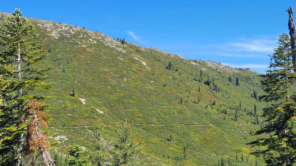
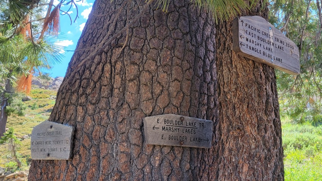
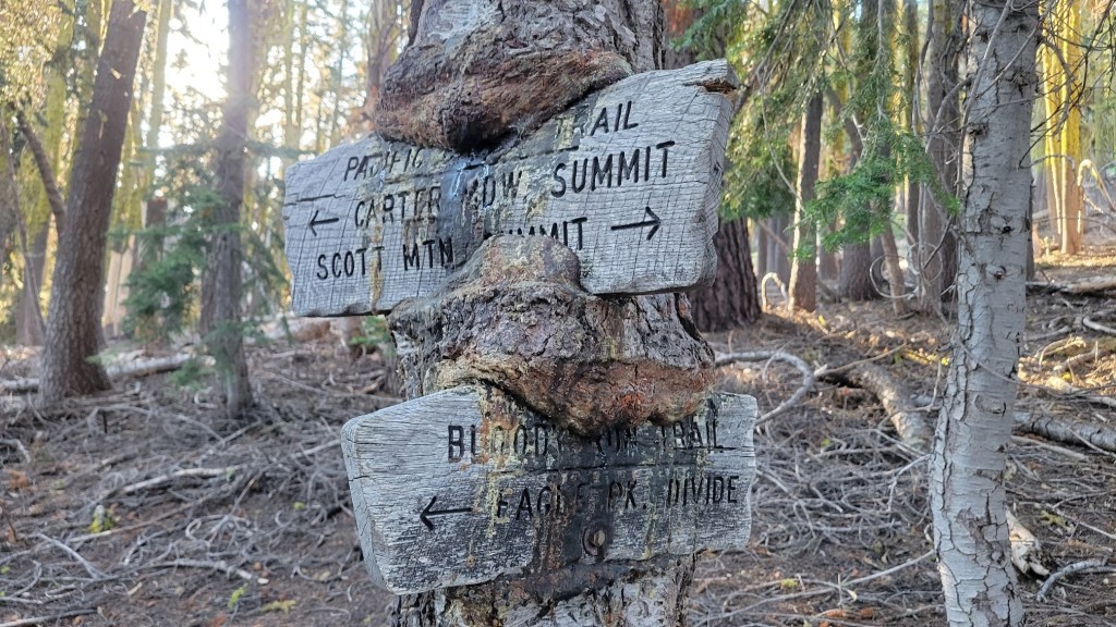
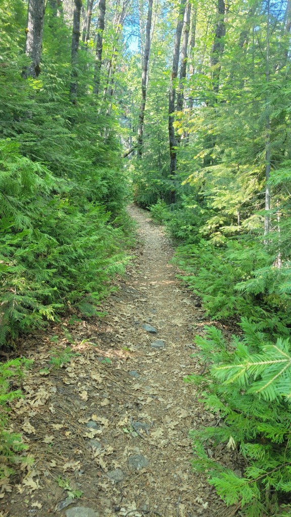
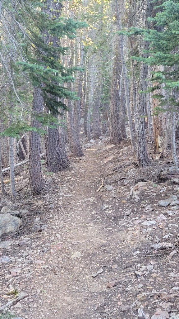
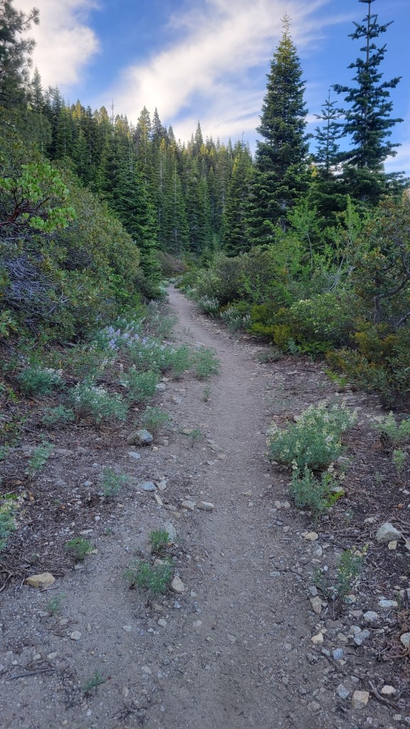
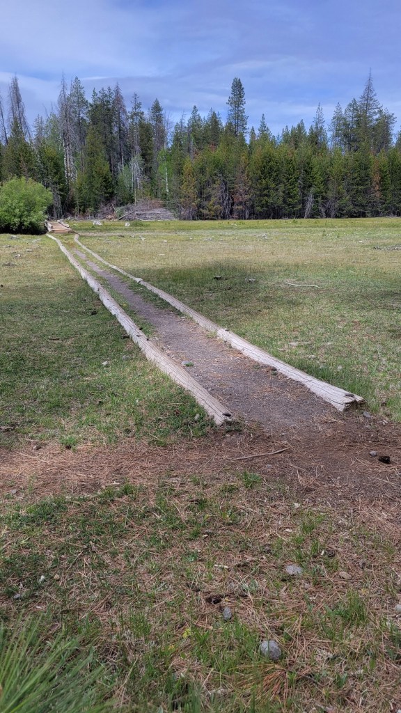
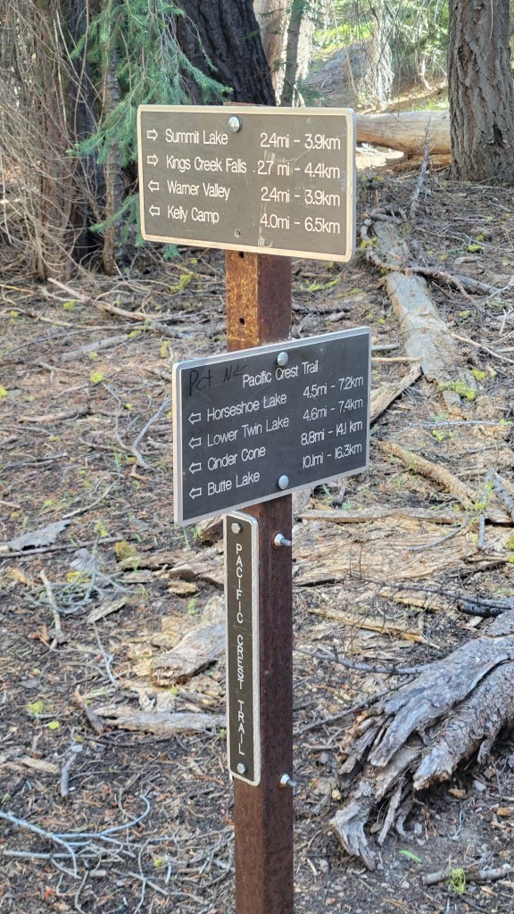
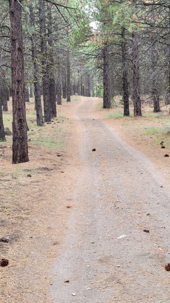
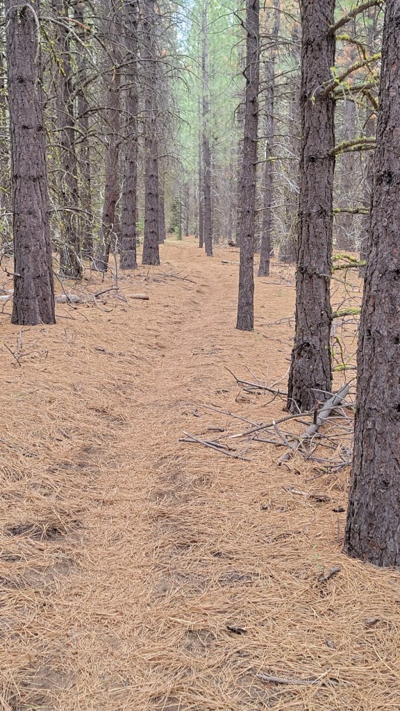
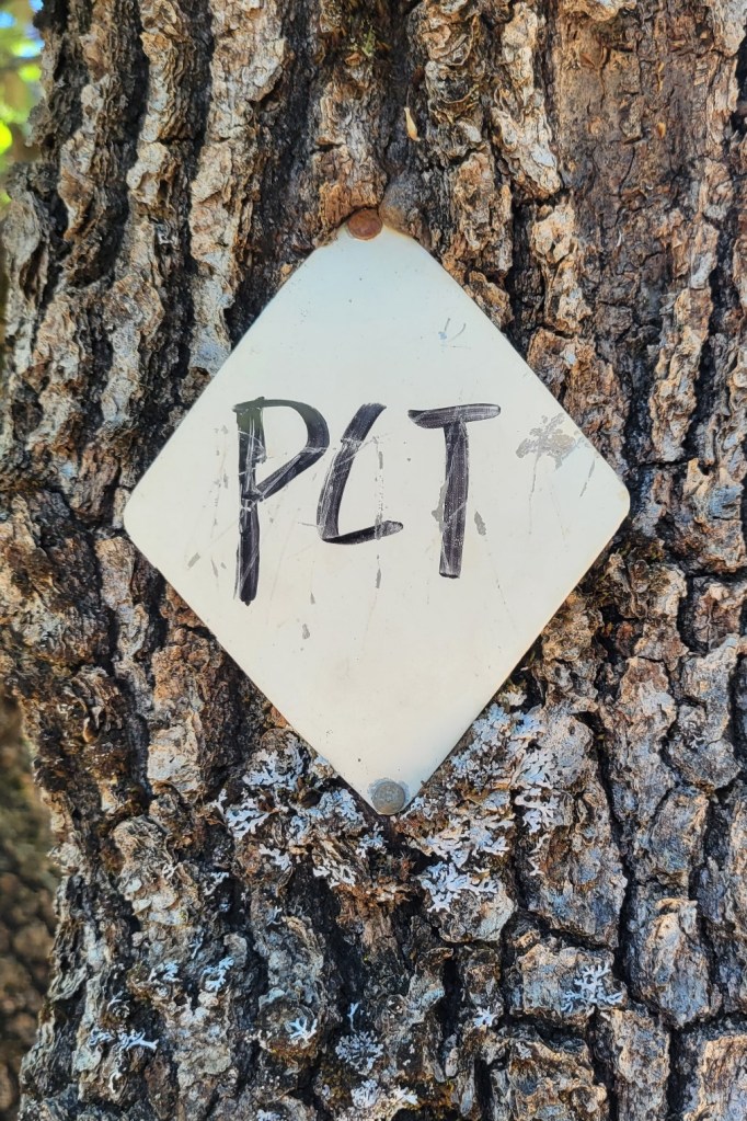
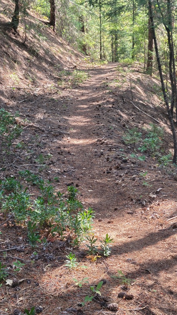
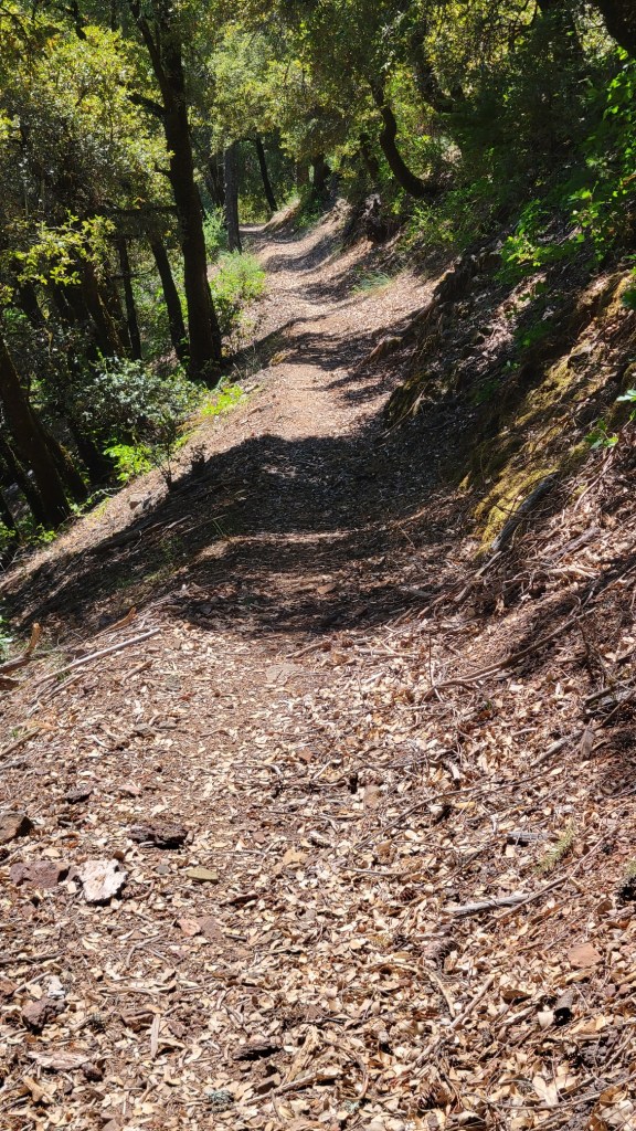
Signs, flowers, dead trees, the trail itself, and more.
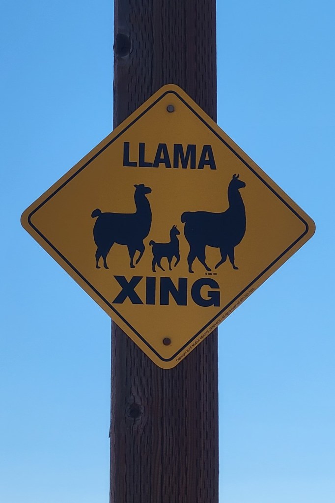
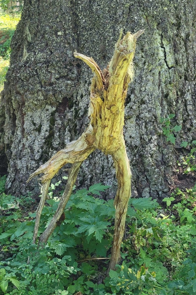
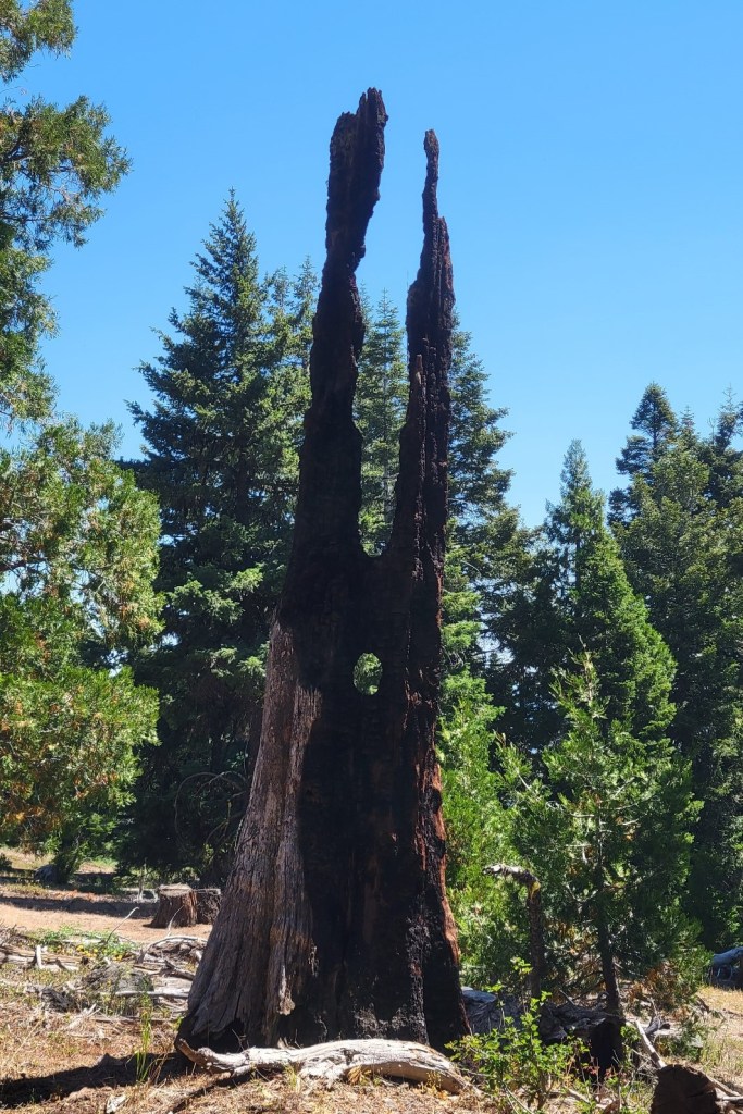
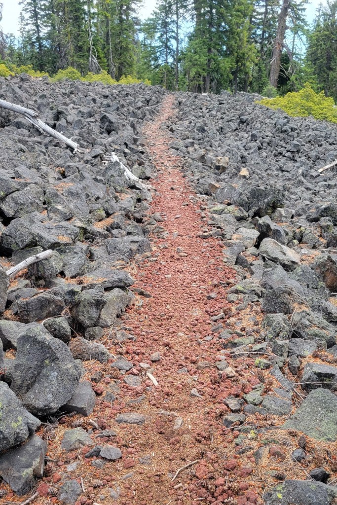
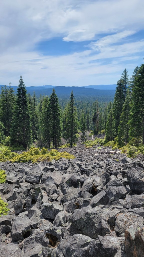
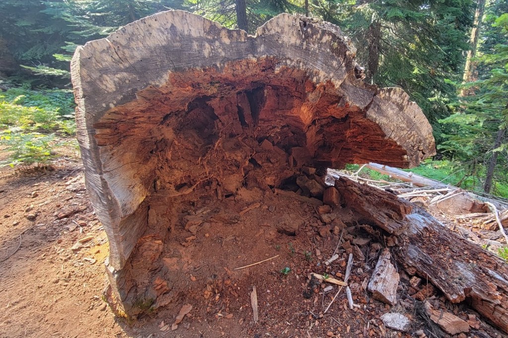
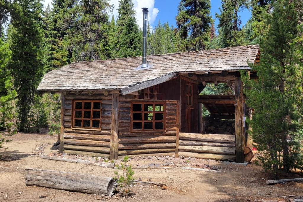
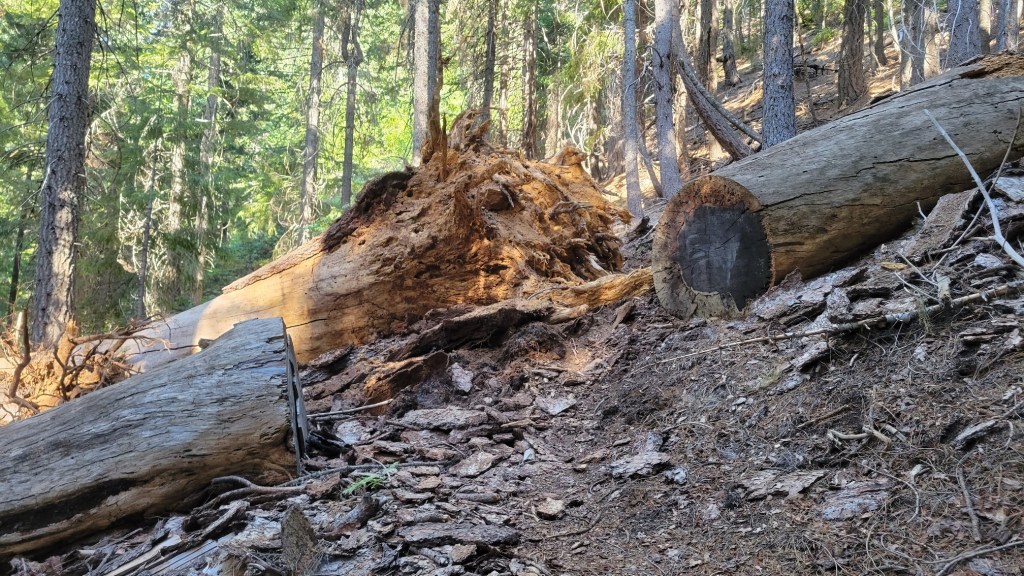
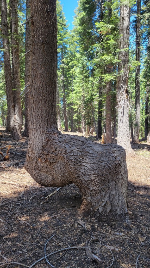
I’m trying toDoor to old ranger cabinGrouse on tree stumpI hope that doesn’t fallI wish we couldStatue in AshlandAnother statue in AshlandWalkway over wet areaI didn’t see any llamasLooks like an animal to meGrowth on dead treeThree trees from one set of rootsBurn zoneNew growth in a burn zoneNo mushroom picking?Tuning fork?WaterfallBlowdownOld lava flowDead tree in old lava flowConstructed trail through an old lave flowMe on break
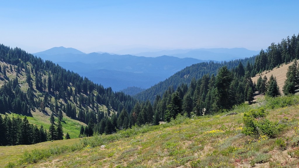
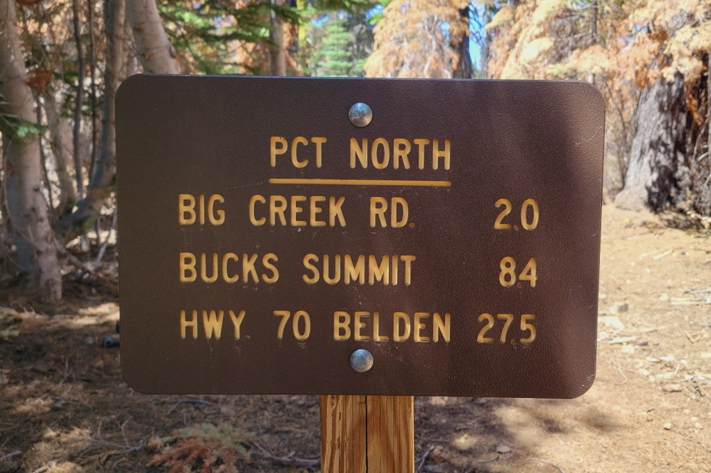
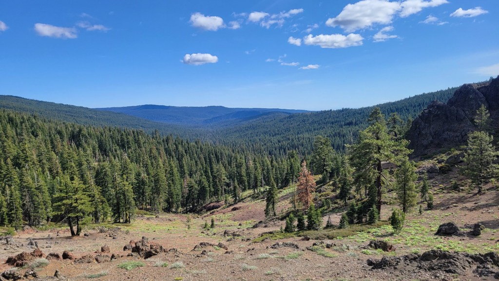
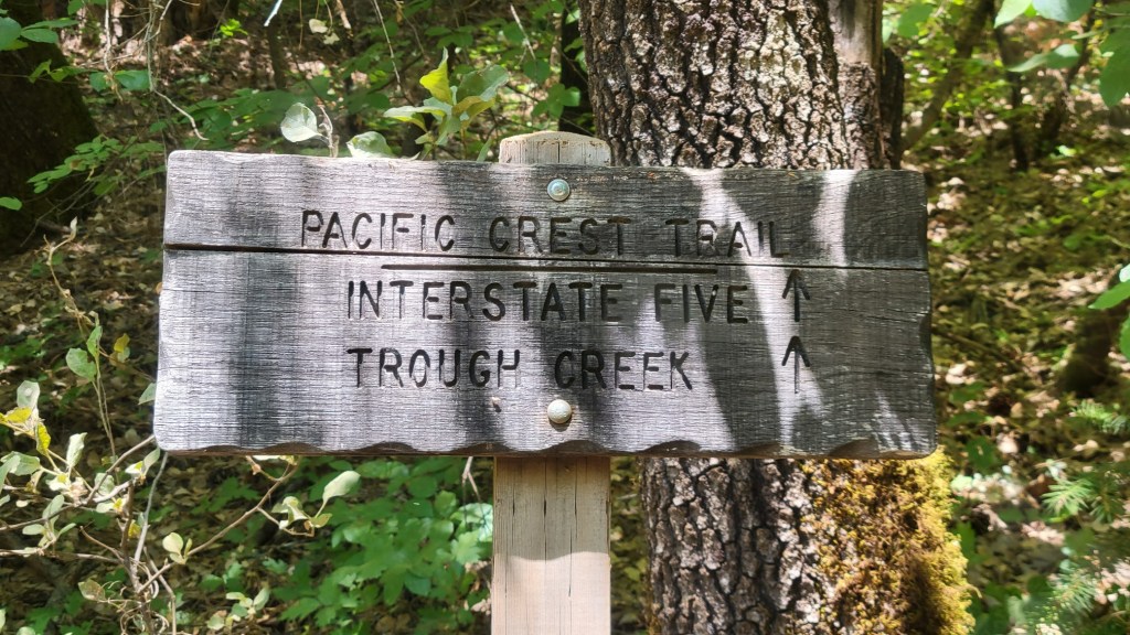
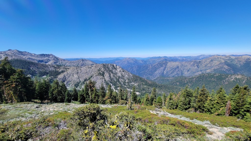
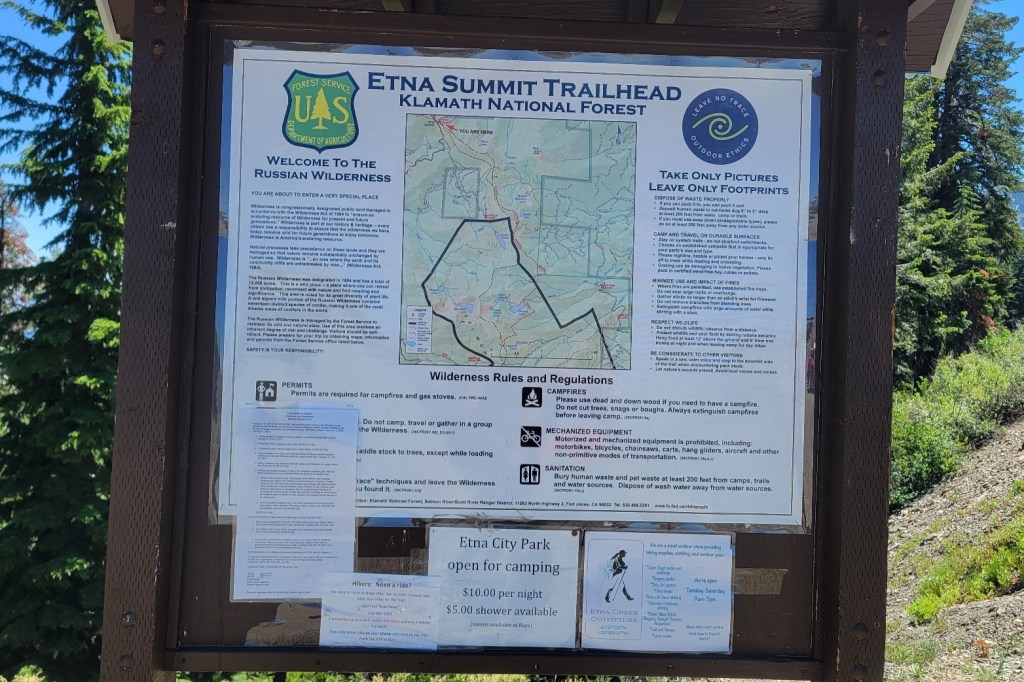
Here are photos from the last month of my PCT hike — July 9th to August 1st. After my July 4th break, I got back on the trail near Etna, CA, which is west of Yreka. I then hiked to Santiam Pass, OR, which is west of Bend. That’s 400 trail miles. I now have 1450 miles under my belt since I began my PCT flip-flop on April 3rd.
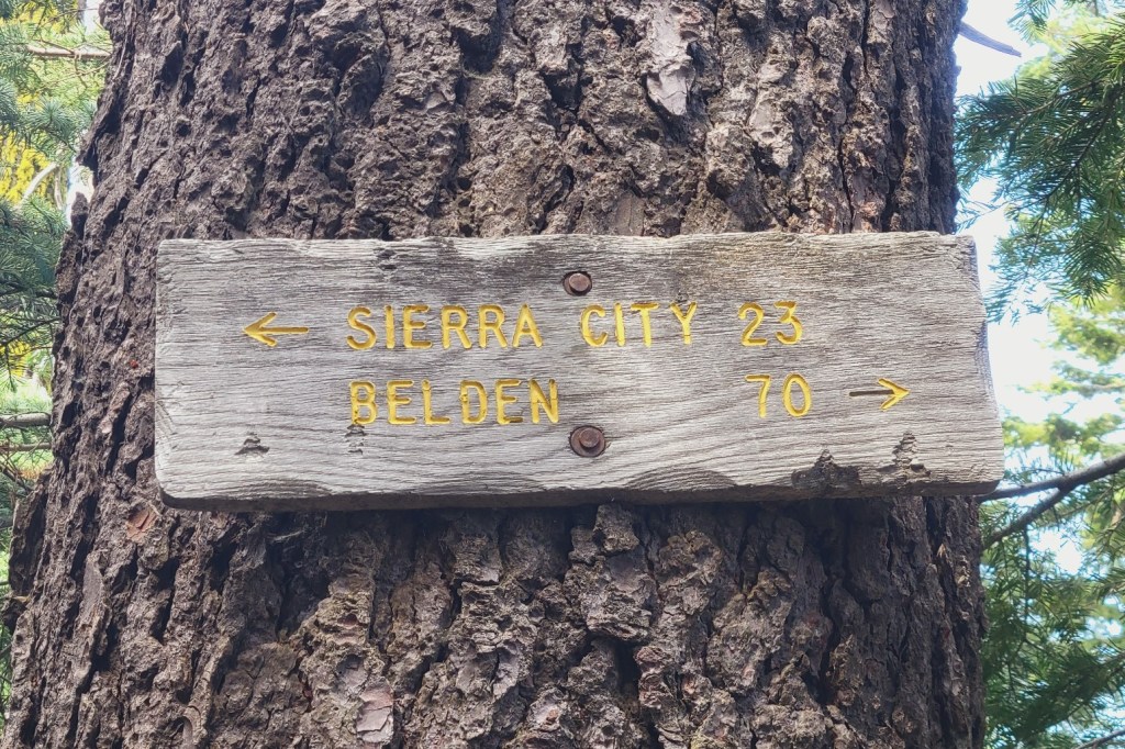
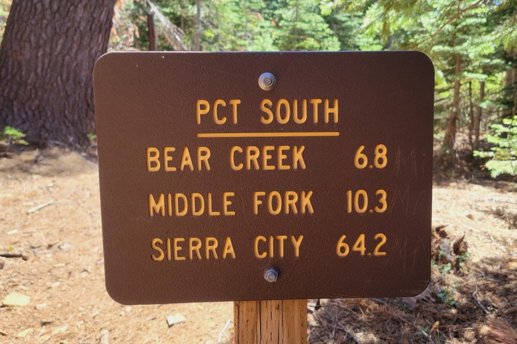
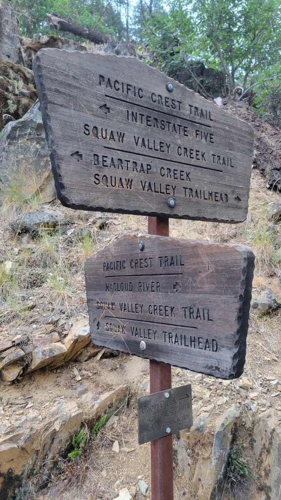
I plan to return to the trail next week. I hope to close the gap between my first two flip-flop segments. Segment 1 southbound = Walker Pass, east of Bakersfield, to Campo at the Mexican border. Segment 2 northbound = Sierra City, north of Donner Pass, to Santiam Pass. In Segment 3, I will hike southbound from Sierra City to Walker Pass. That’s 550 trail miles. I should finish in late September.
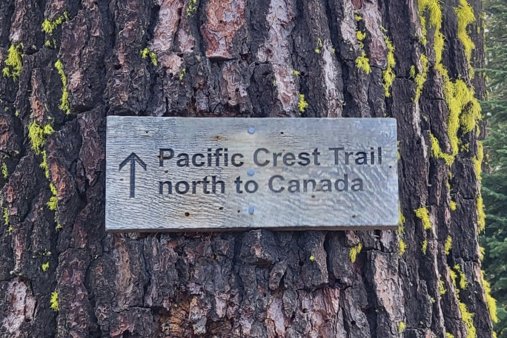
That will conclude my hiking for 2021. If successful, I will have hiked 2000 miles this year. I hope to hike the remaining 650 miles of the PCT northbound from Santiam Pass to the Canadian border next year.
The wild card in my plan for the remainder of this year is wild fire. Currently, the entire Sierra City to Walker Pass section is open for hiking. But part of it was closed just a week ago because of the Tamarack Fire south of Lake Tahoe. That fire is 80% contained, so hopefully the trail won’t close again because of it. But there’s no telling what new fires will take place between now and the end of September, where those fires will be, and whether they will impact the PCT.
Now the photos …
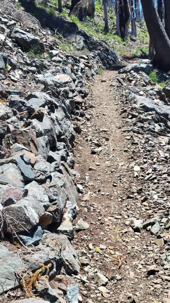
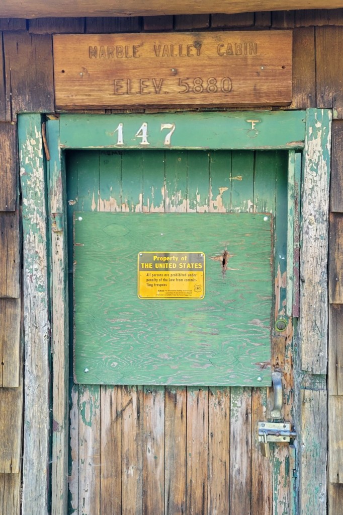
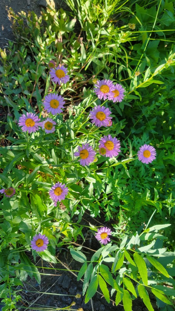
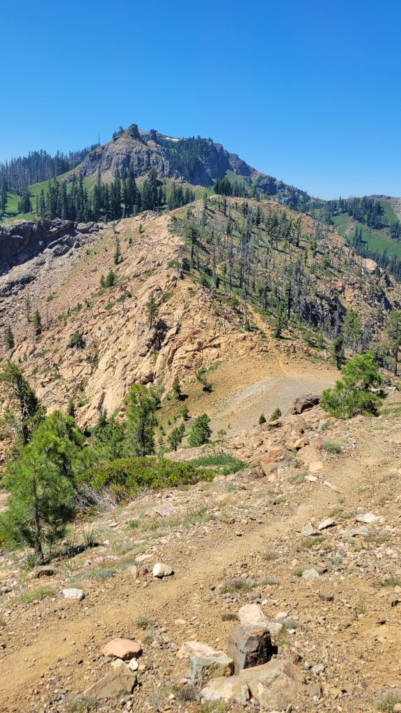
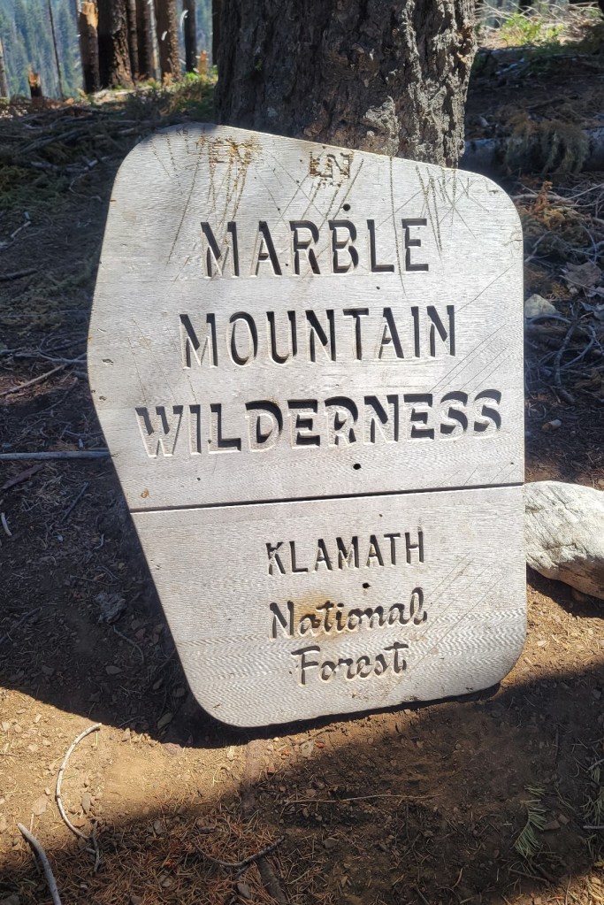
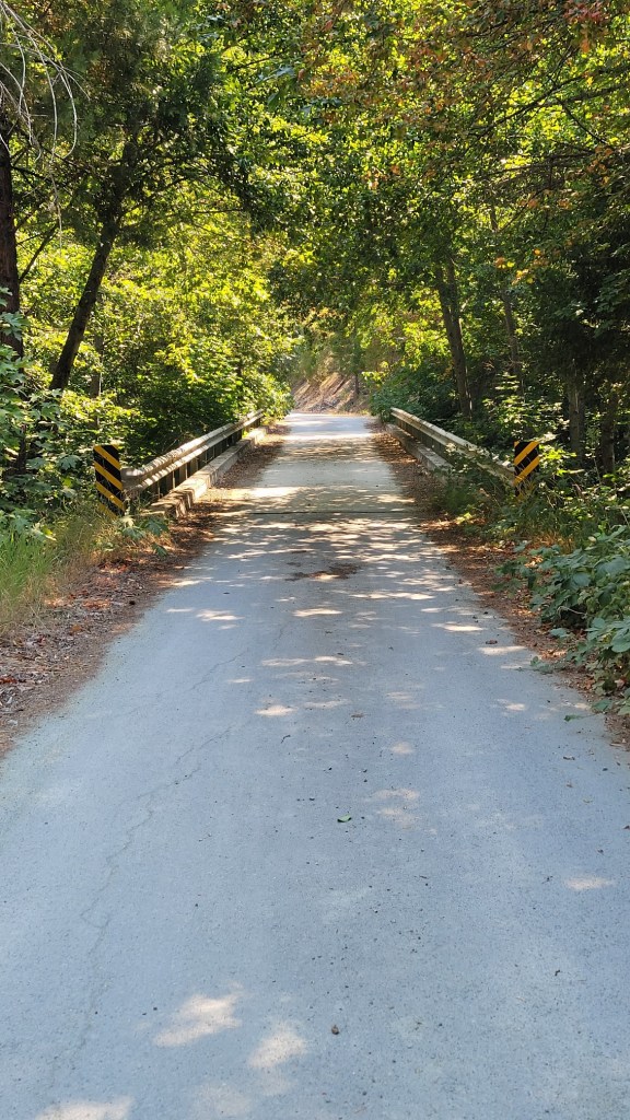
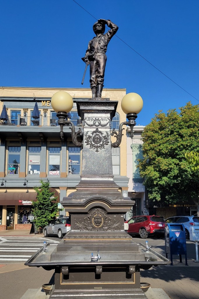
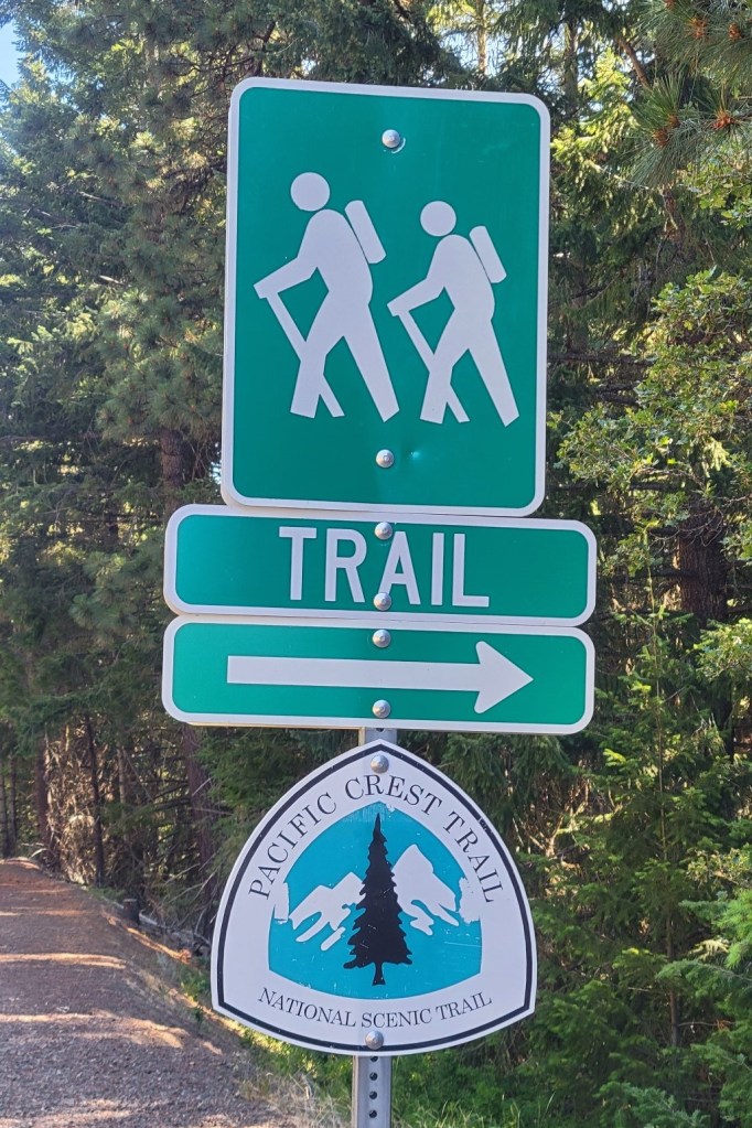
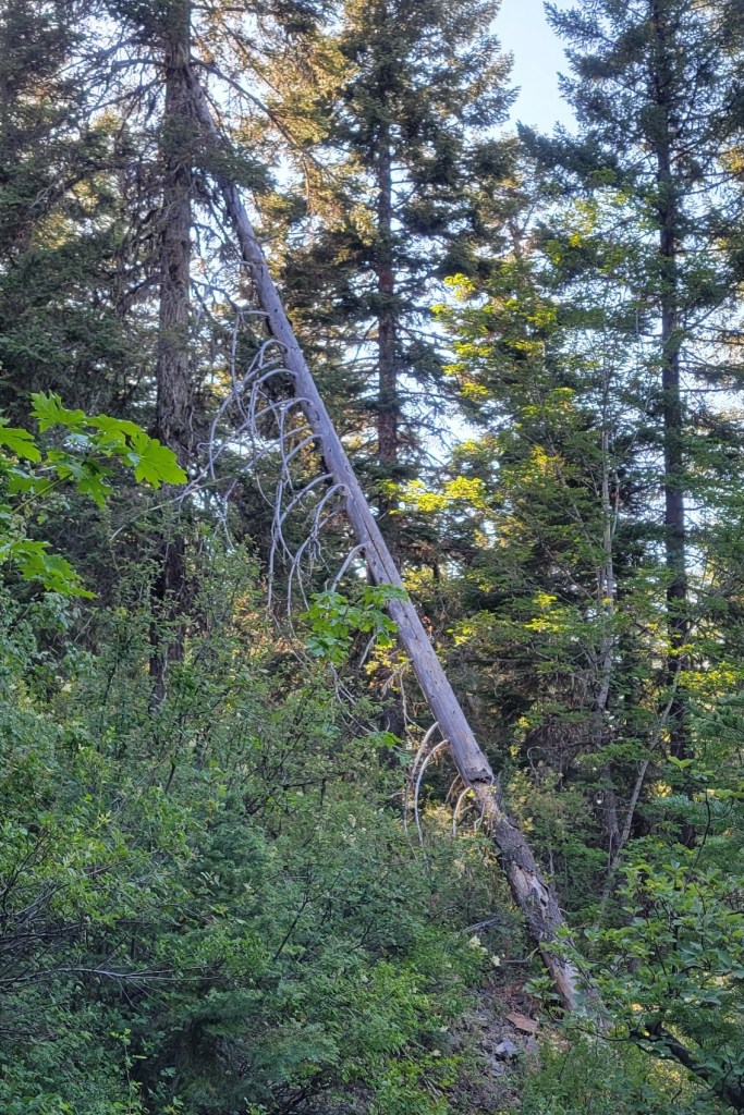
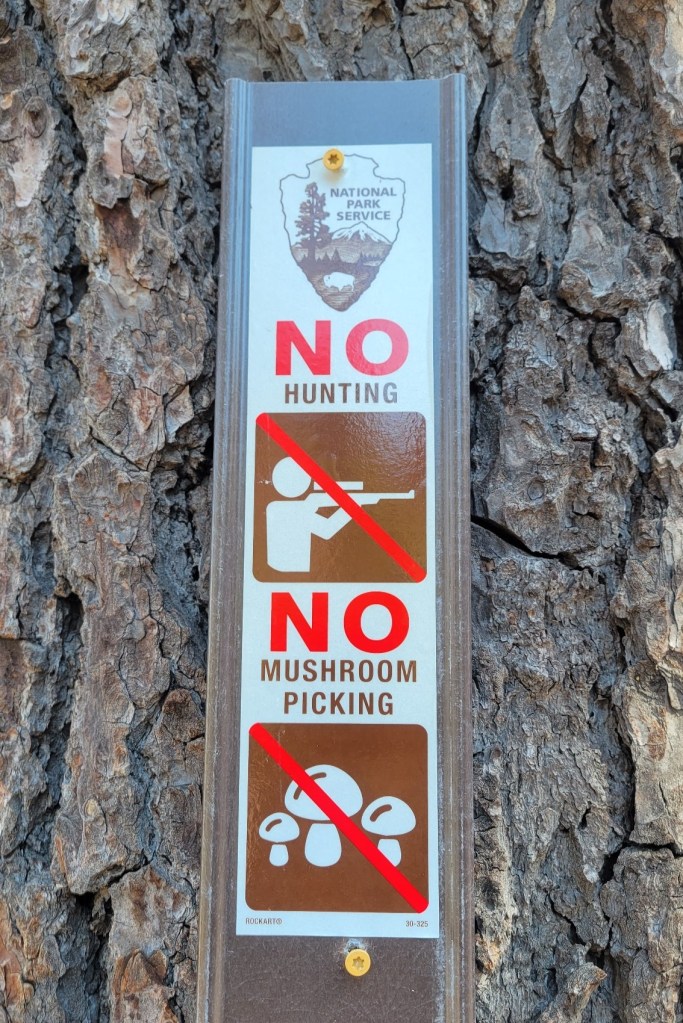
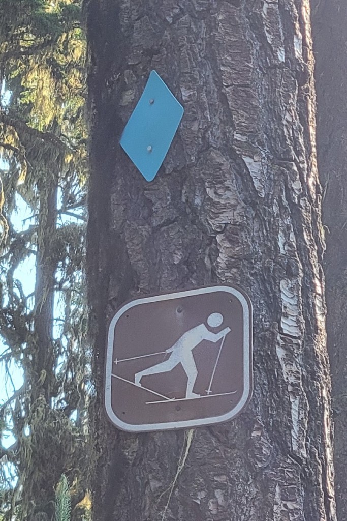
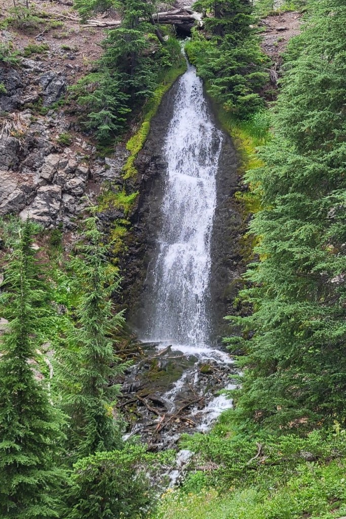
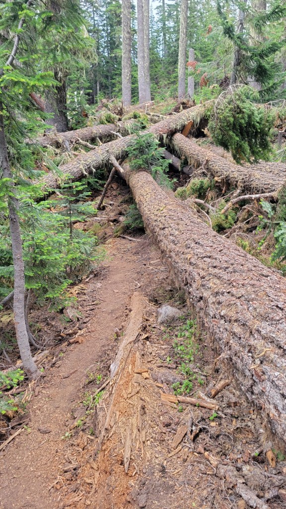
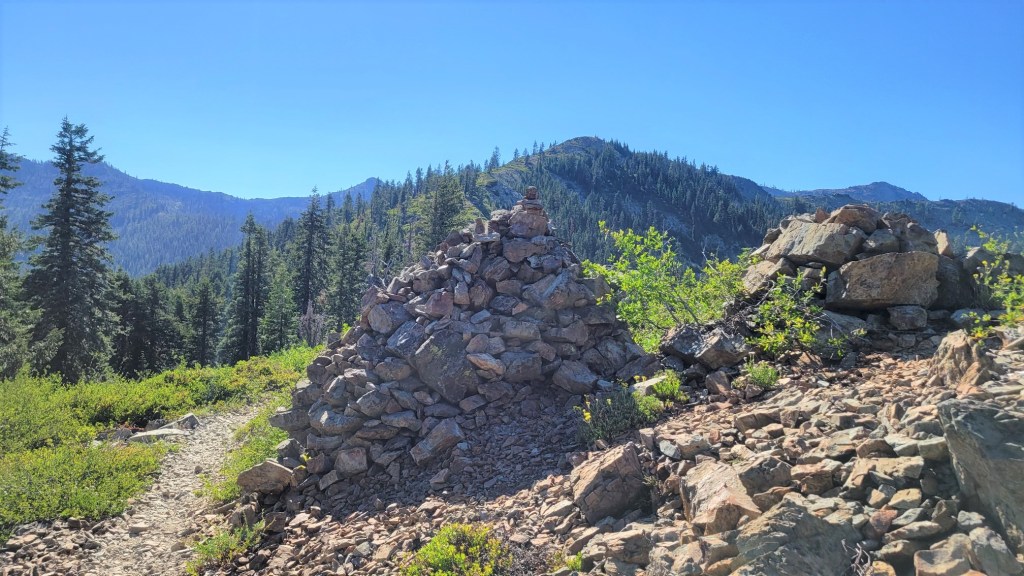
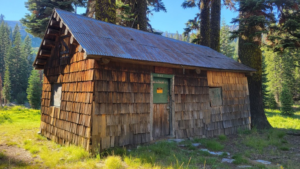
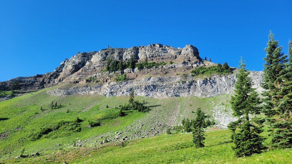
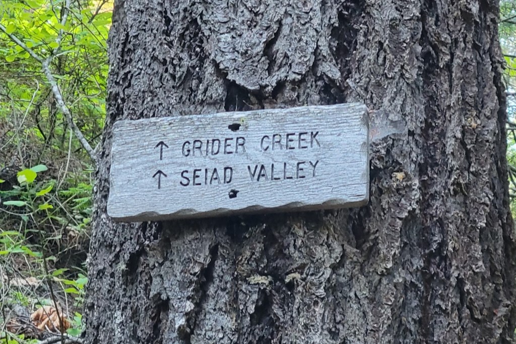
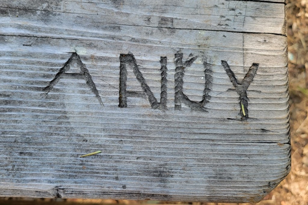
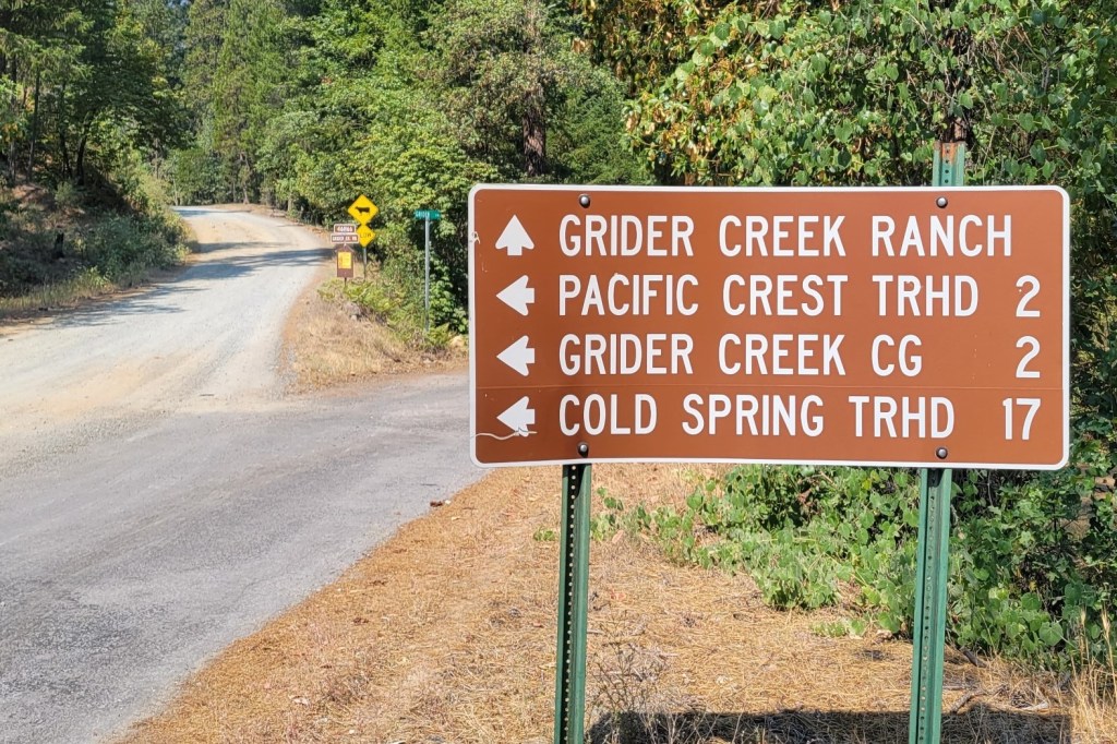
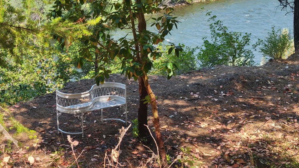
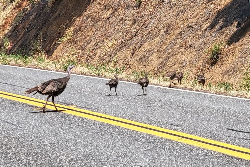
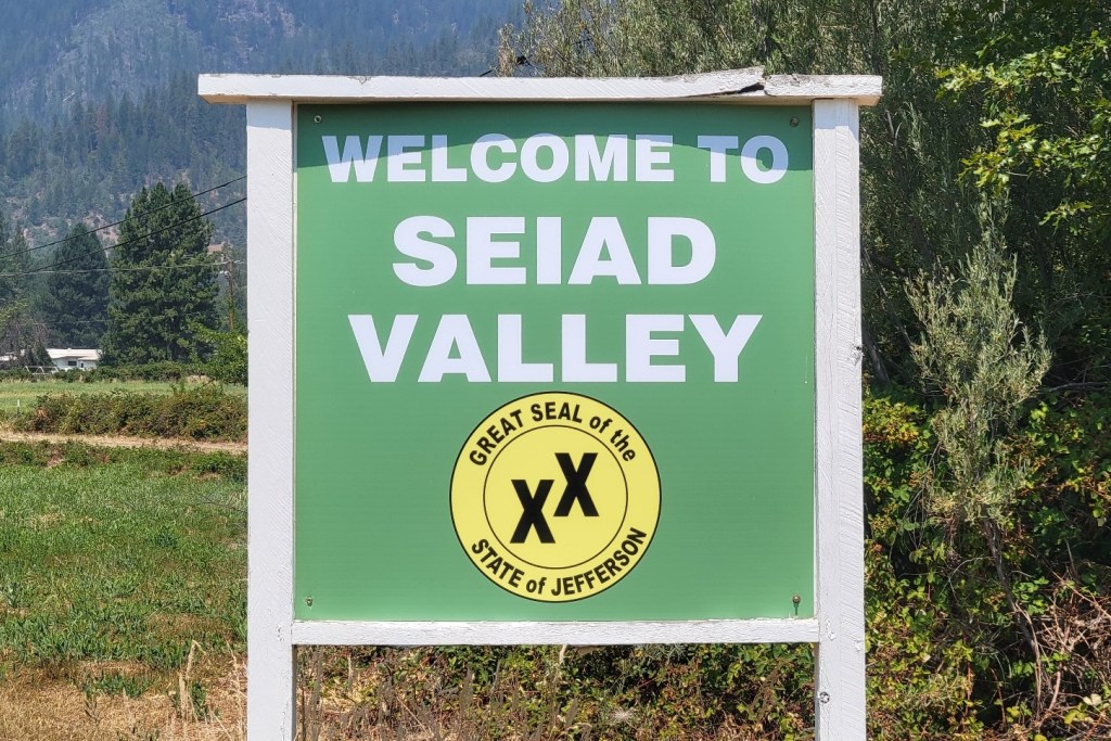
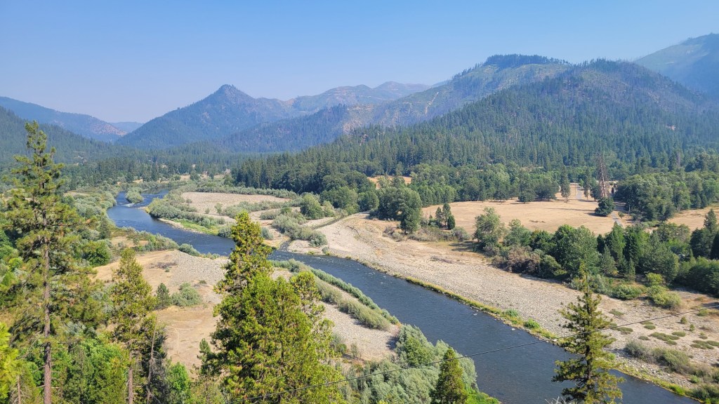
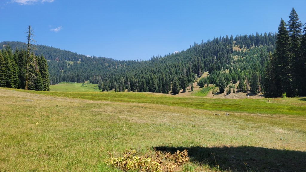
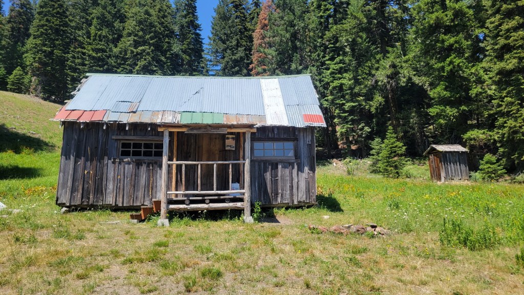
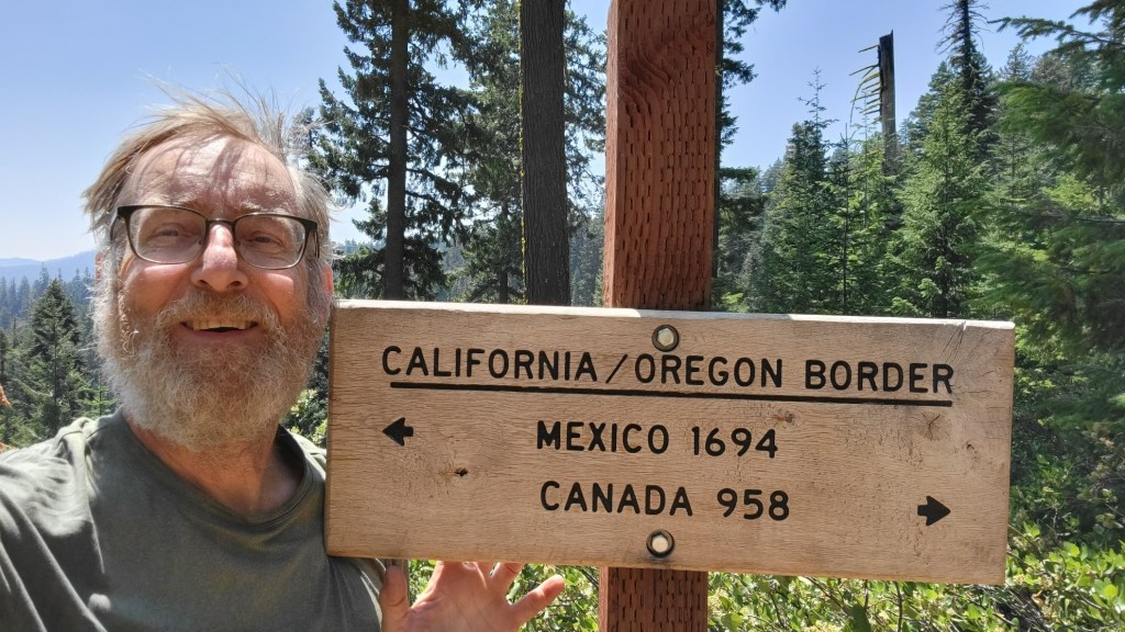
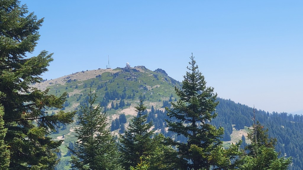
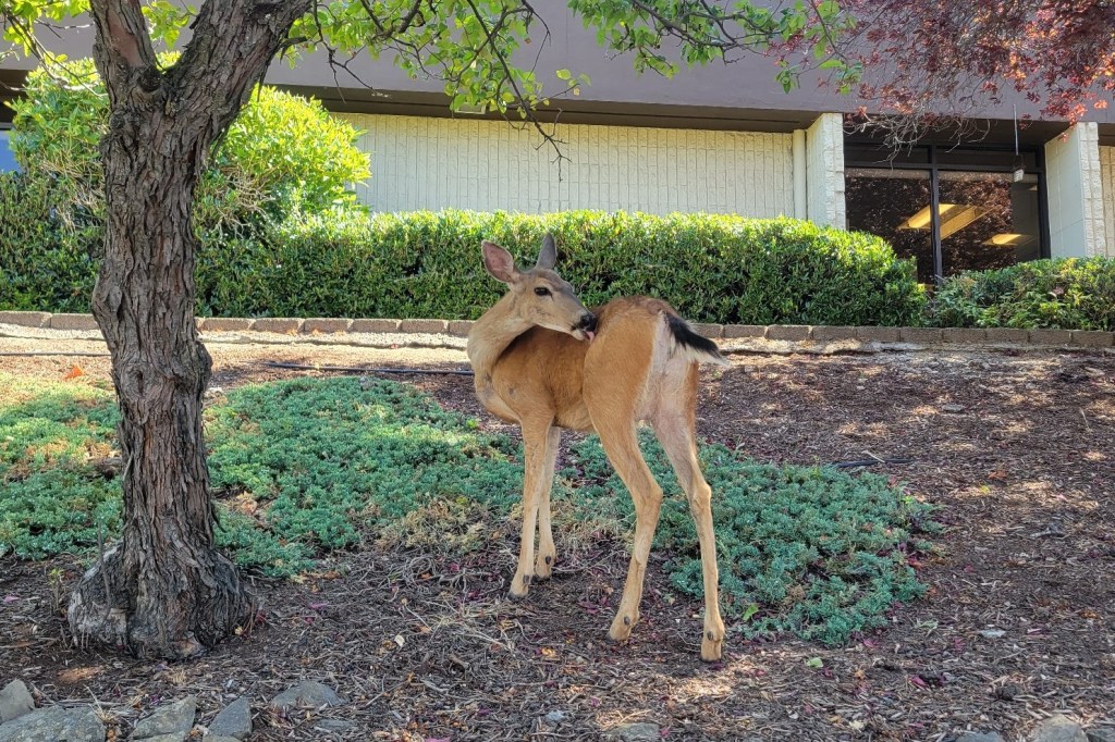
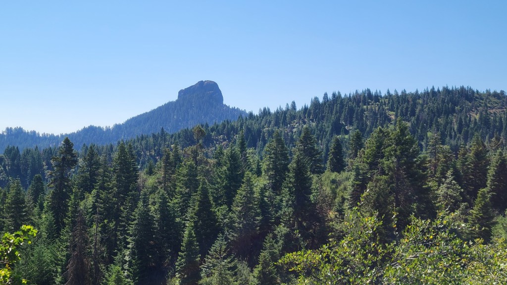
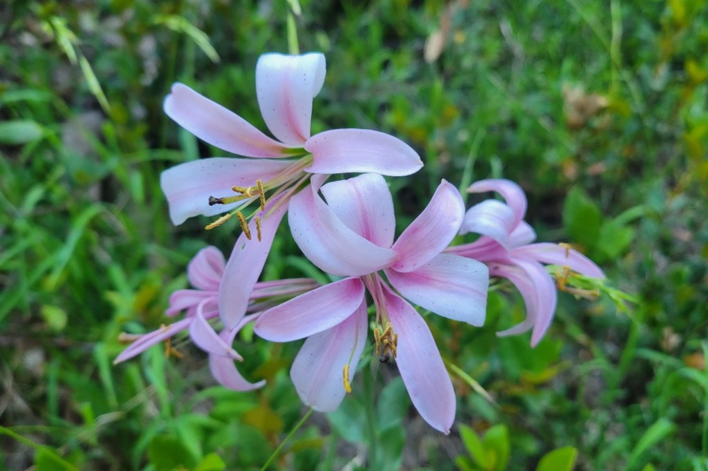
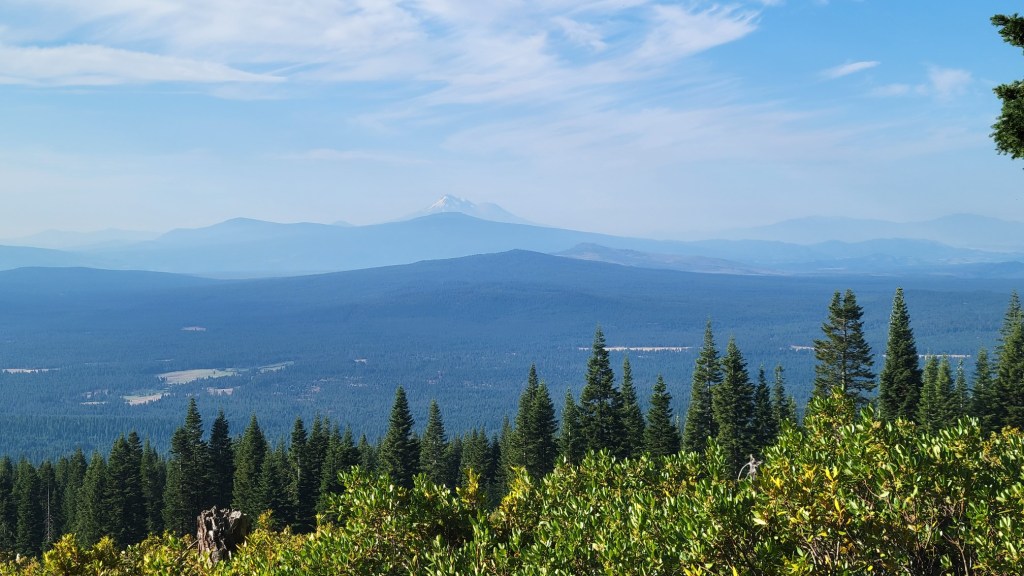
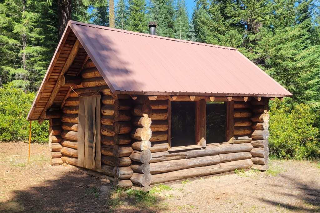
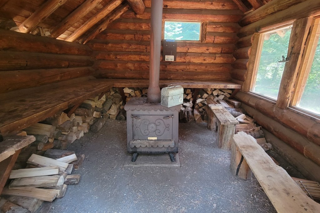
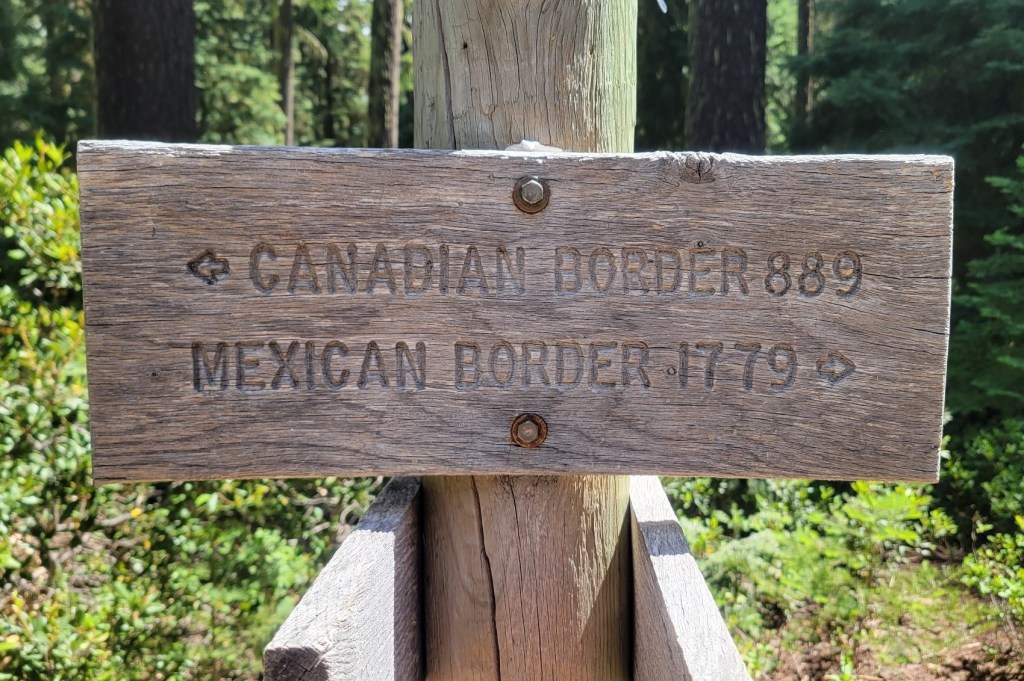
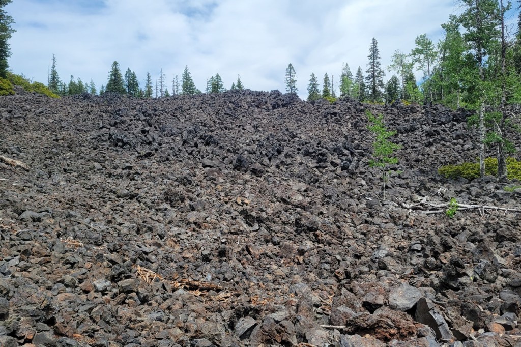
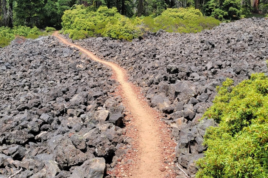
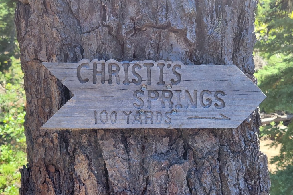
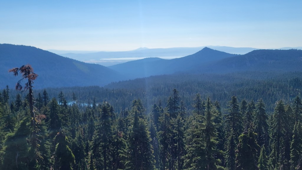
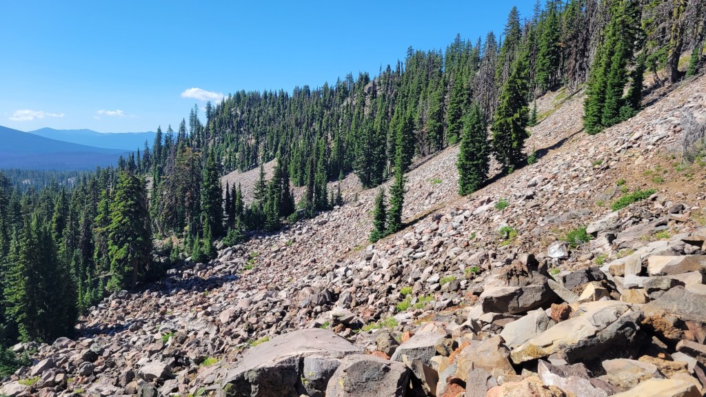
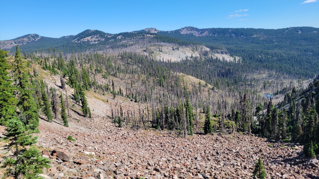
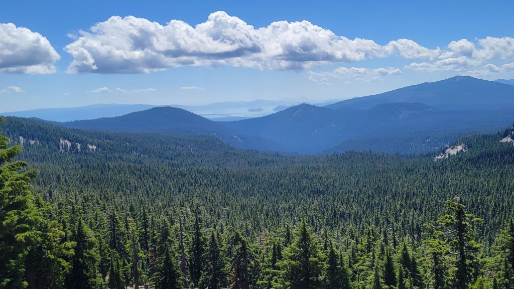
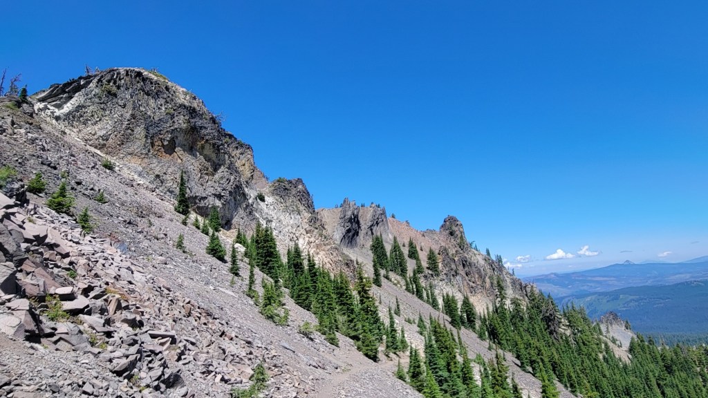
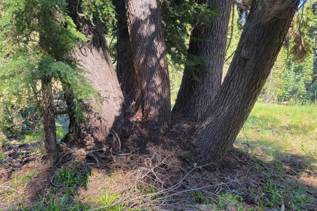
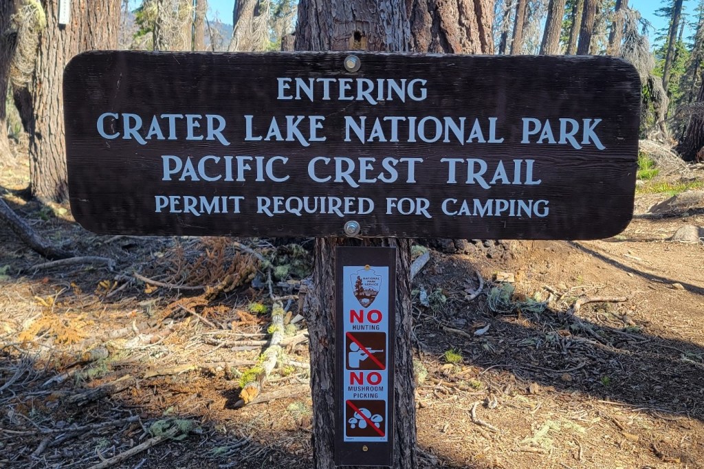
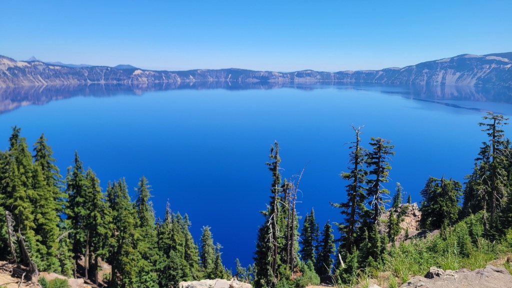
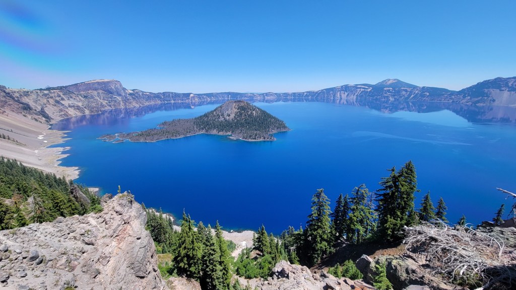
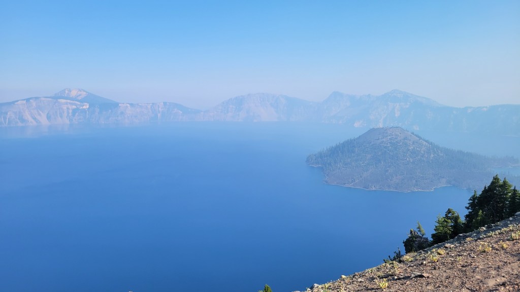
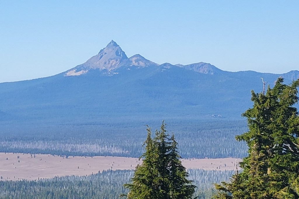
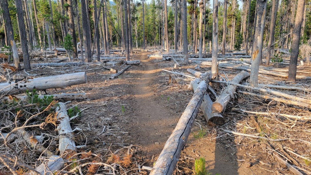
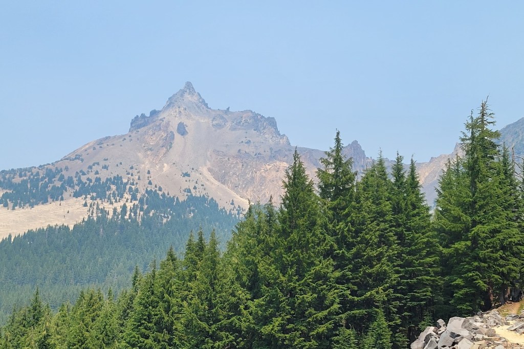
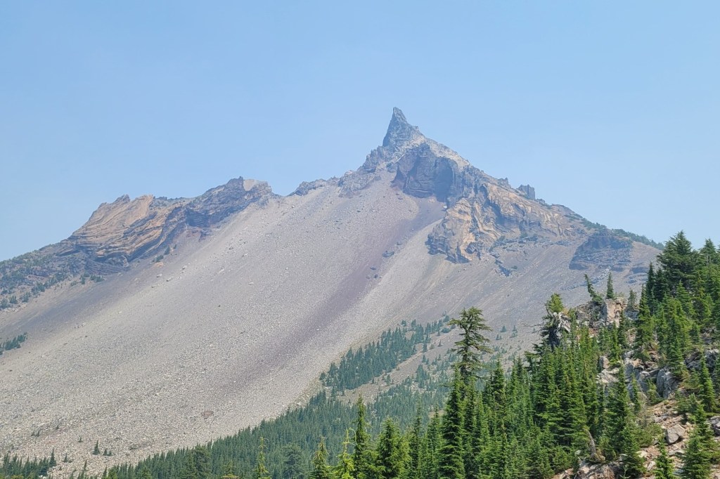
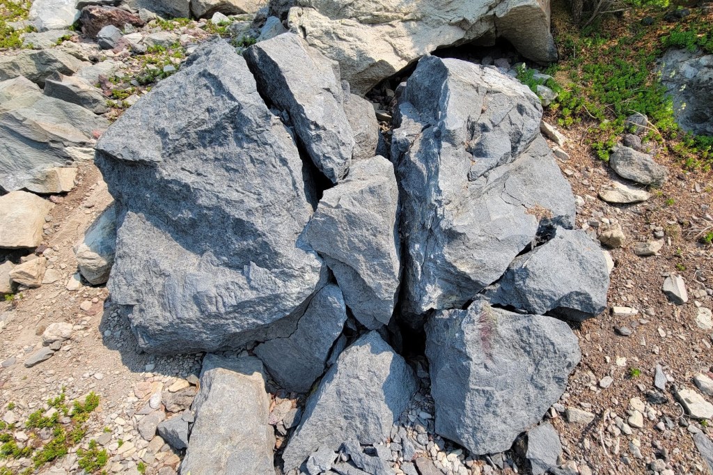
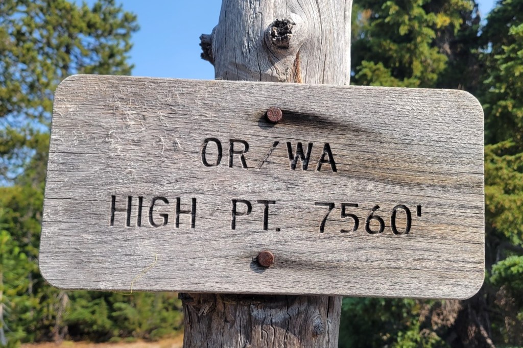
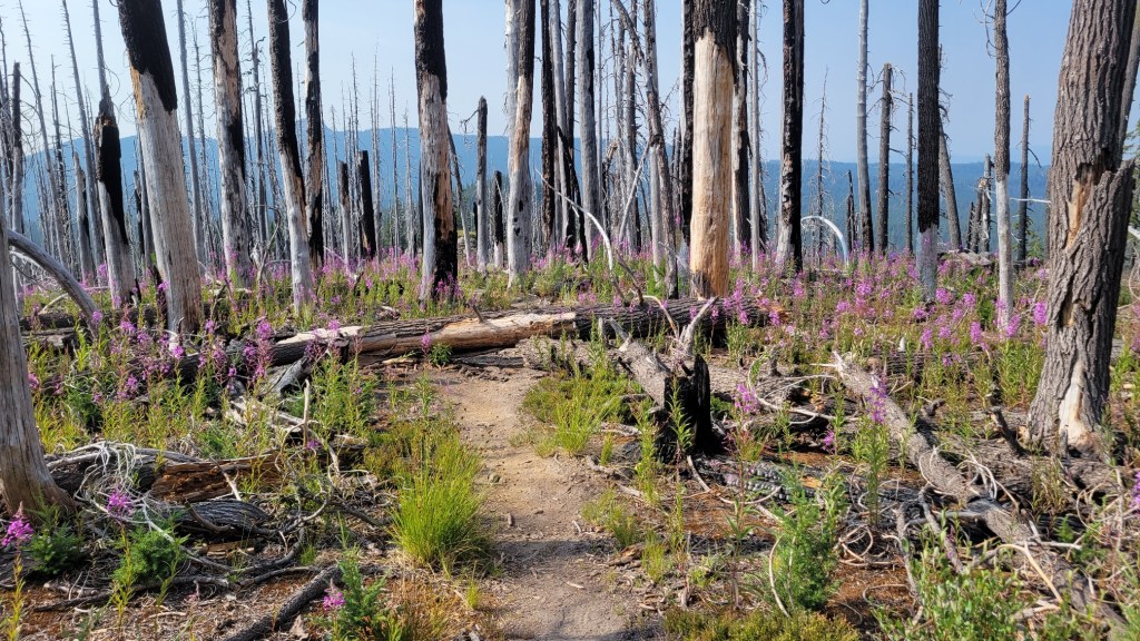
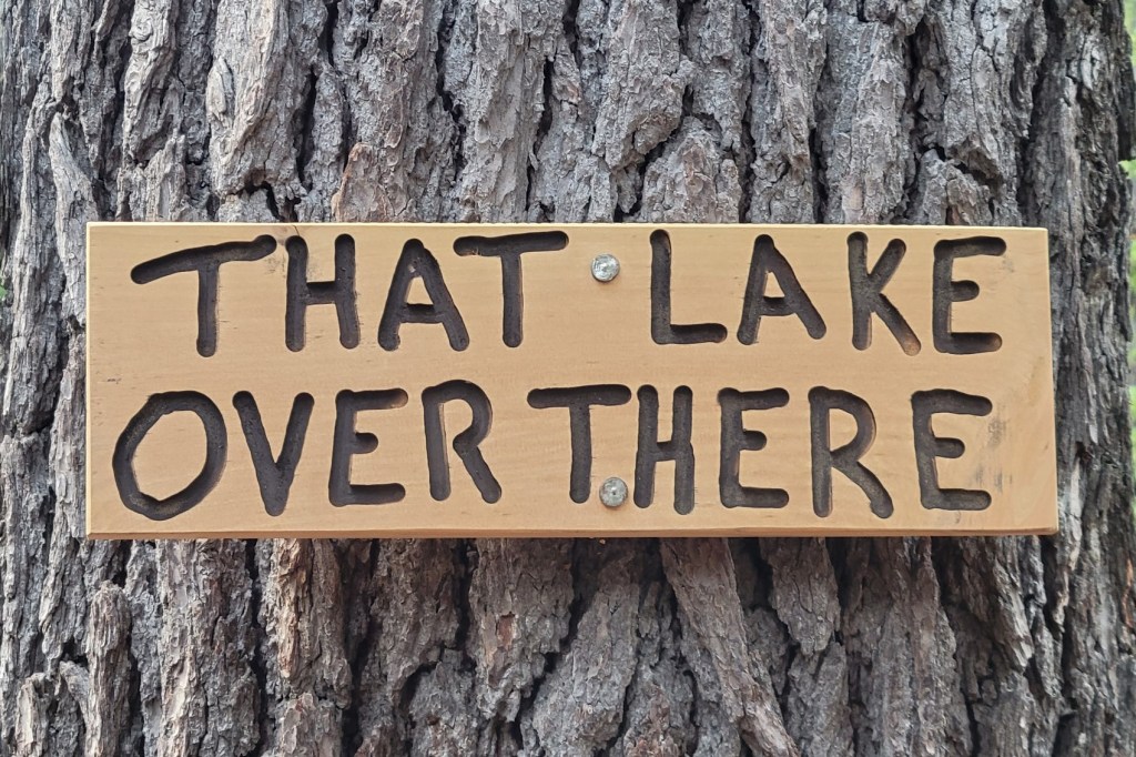
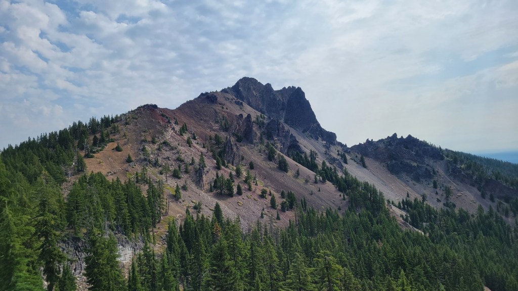
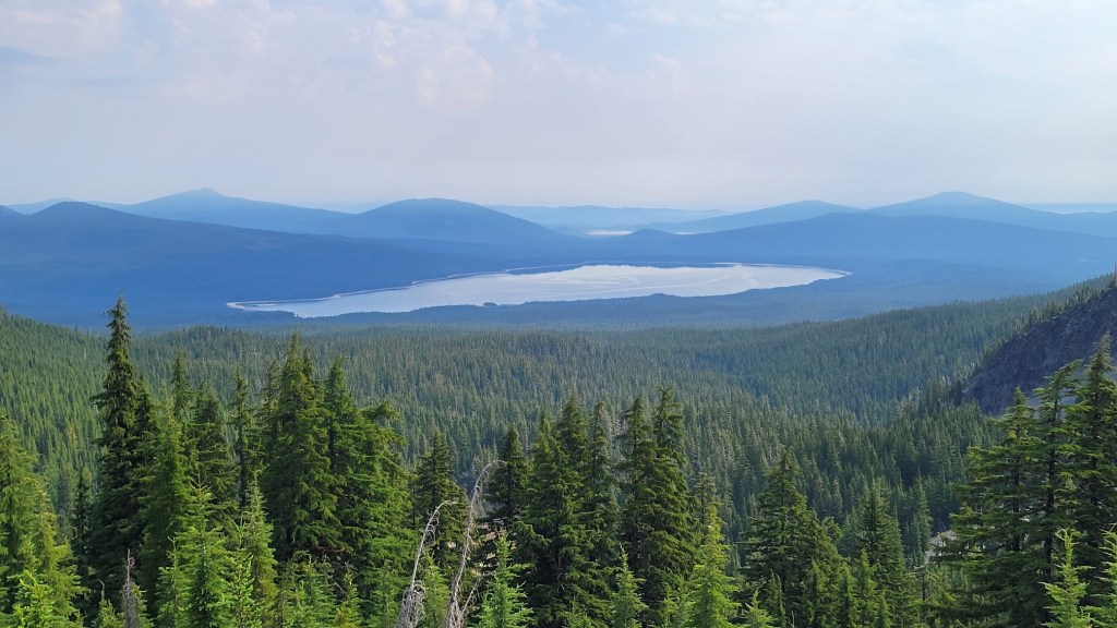
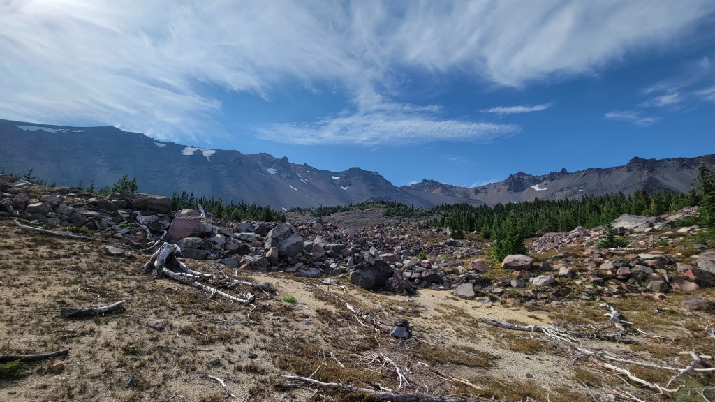
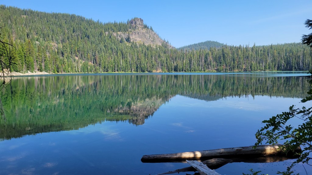
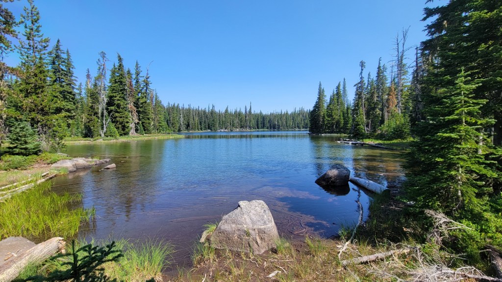
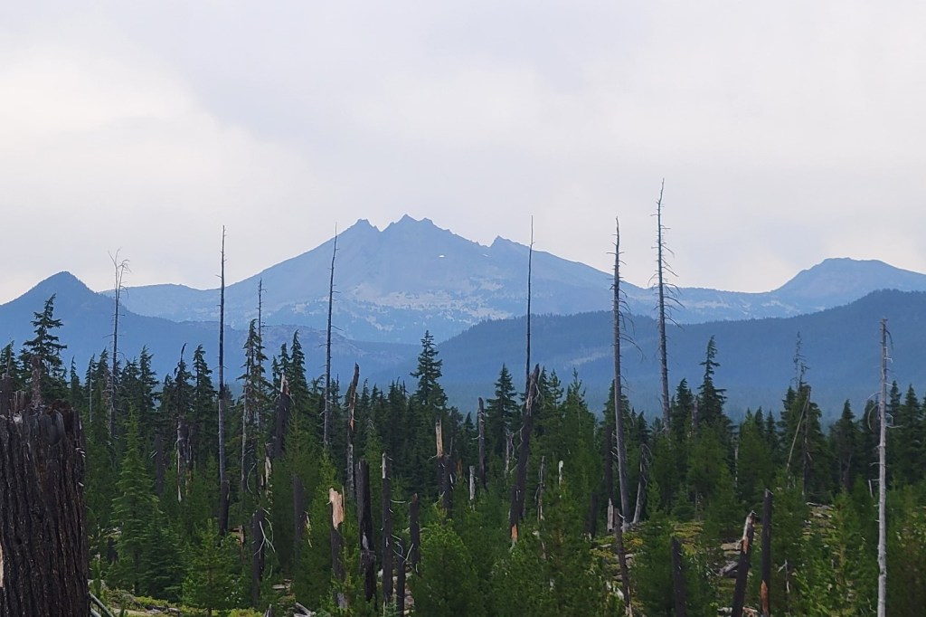
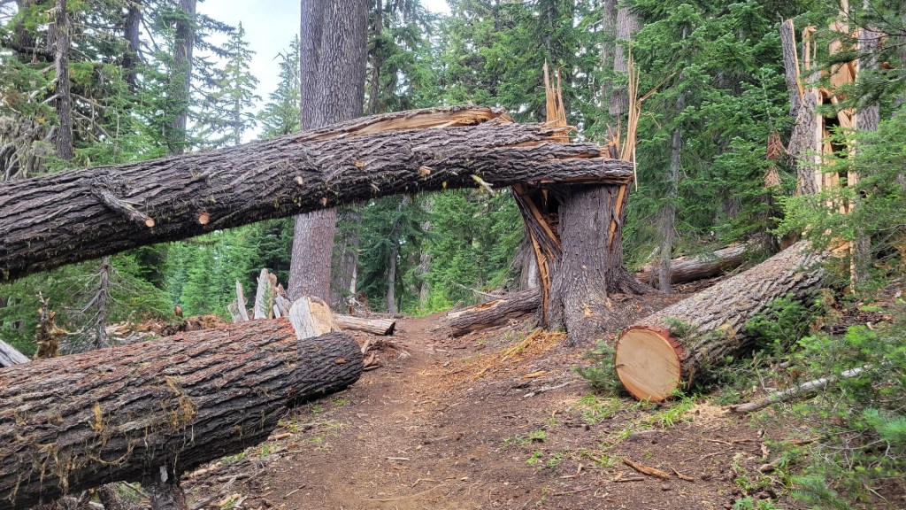
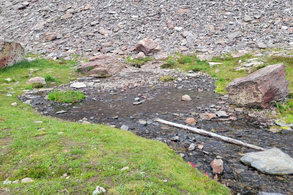
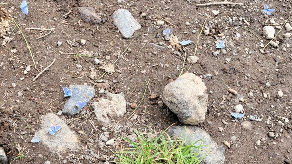
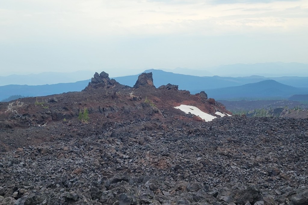
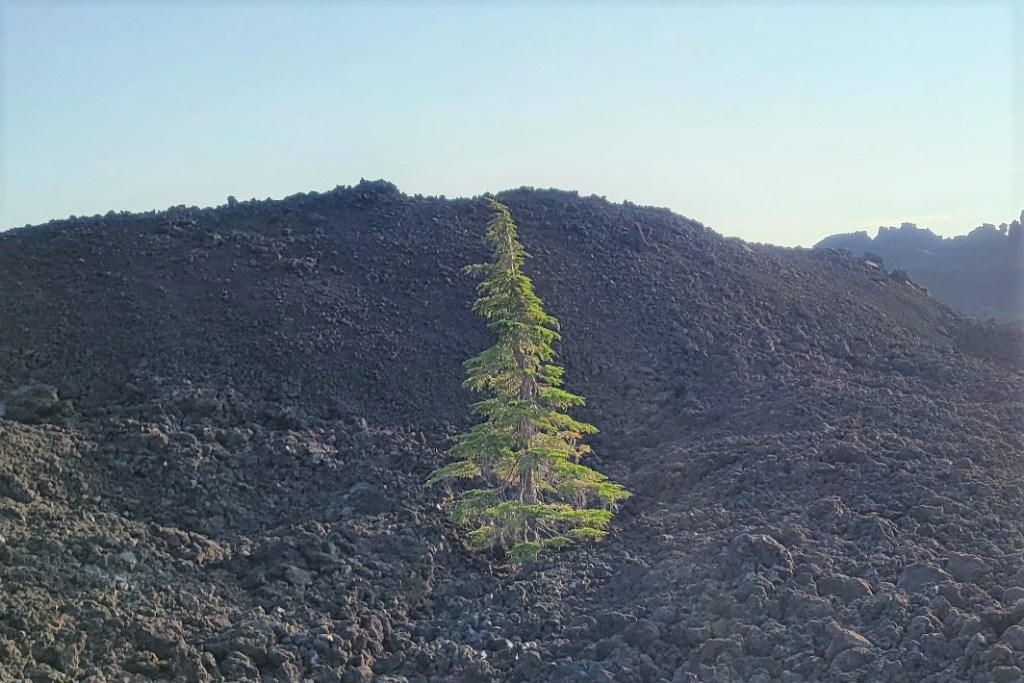
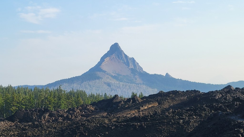
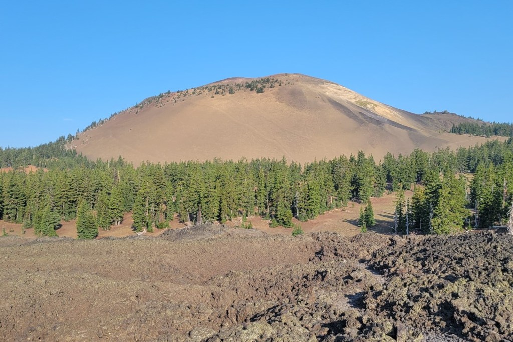
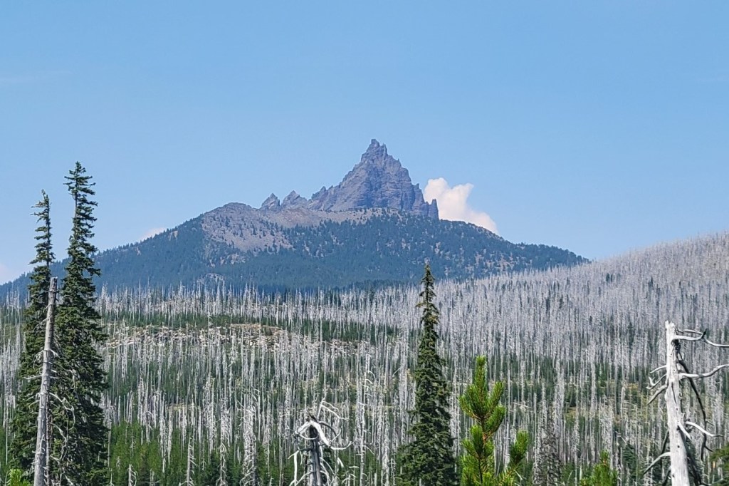
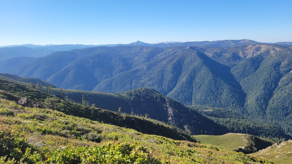
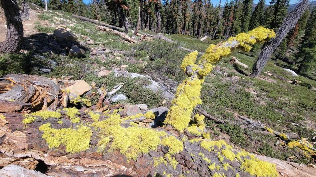
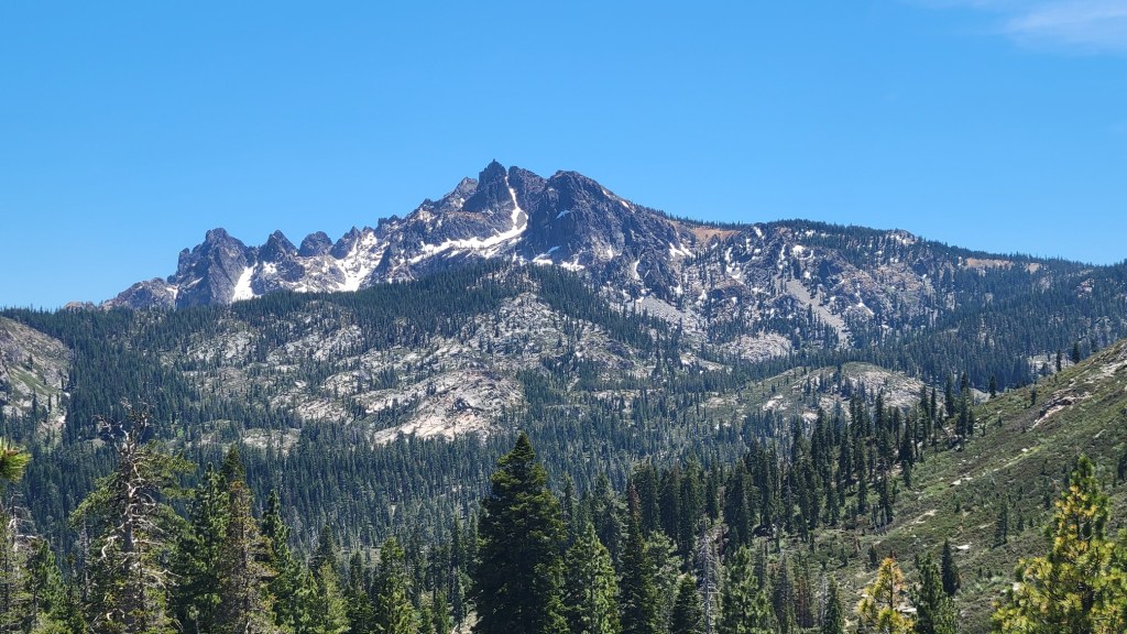
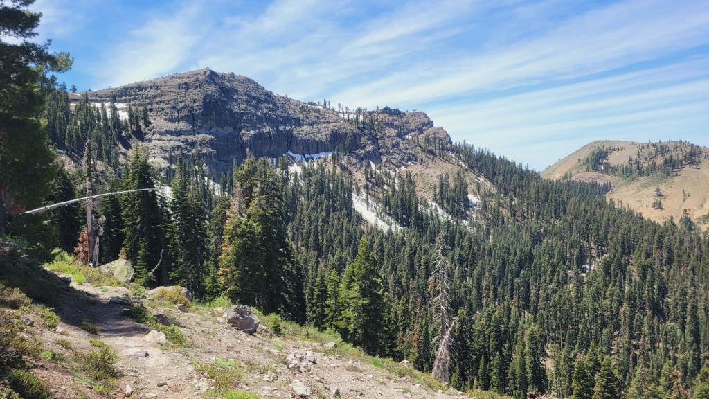
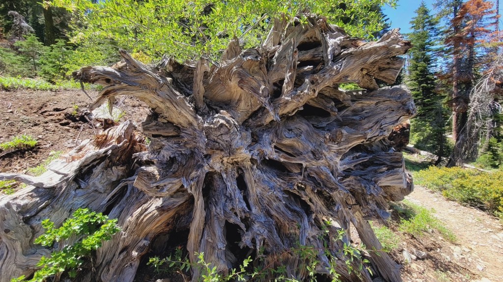
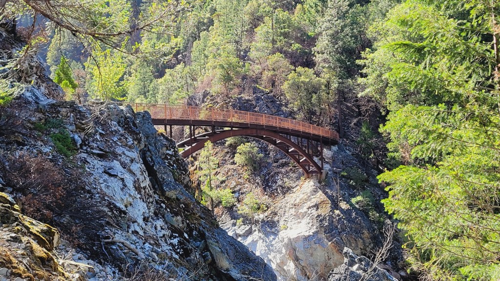
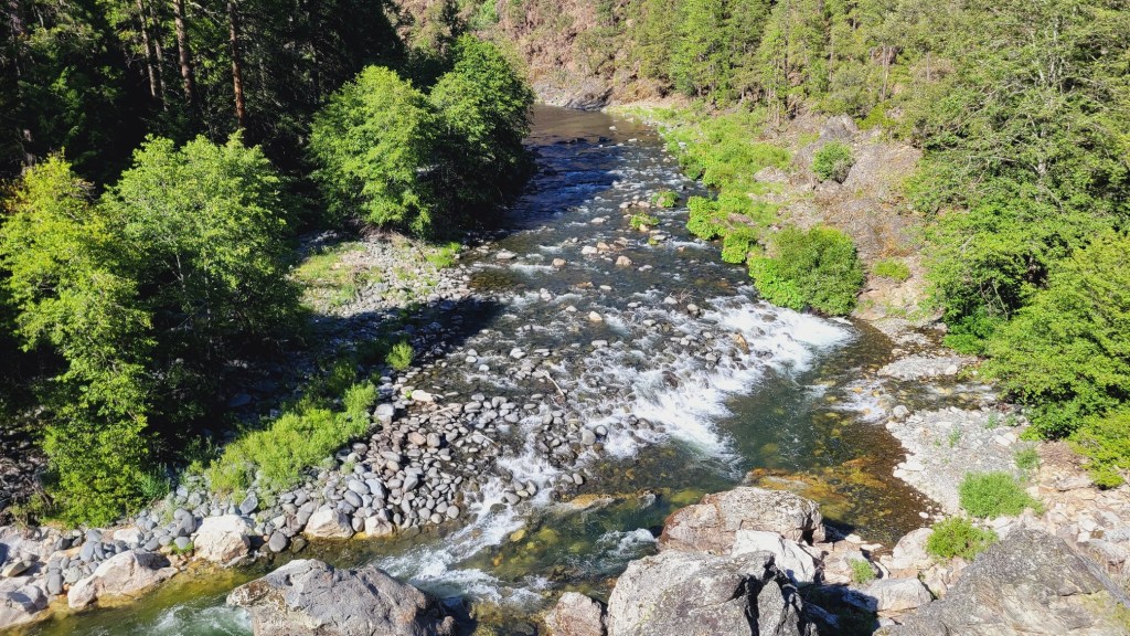
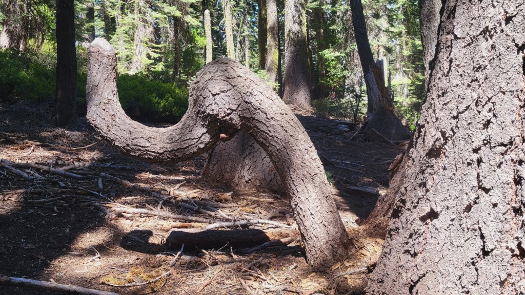
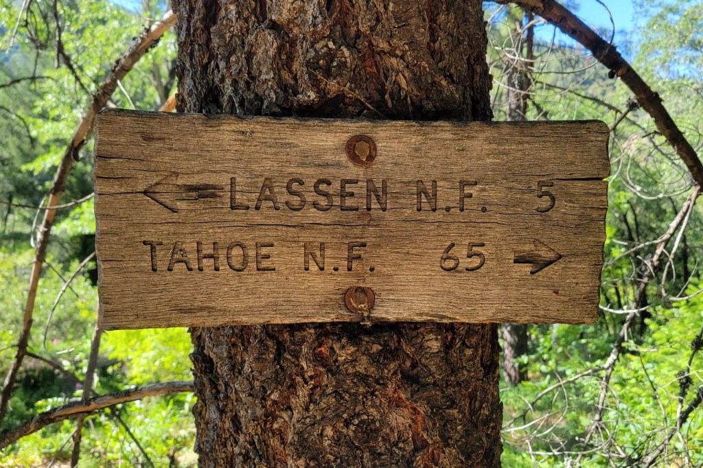
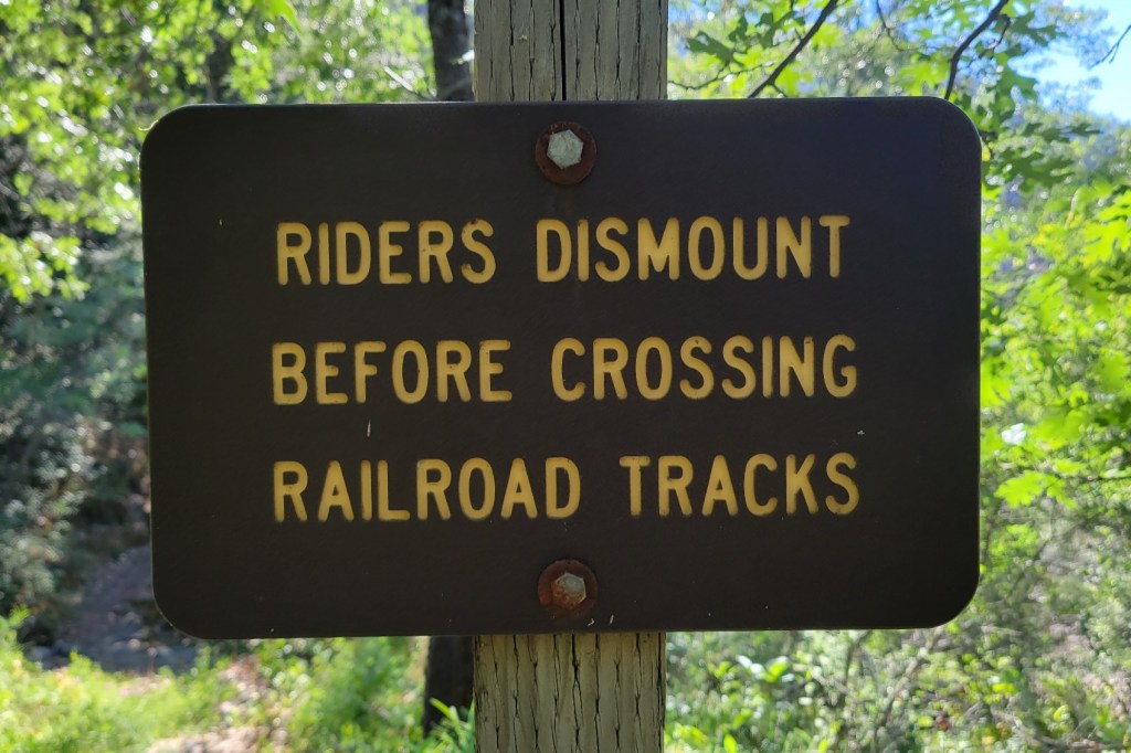
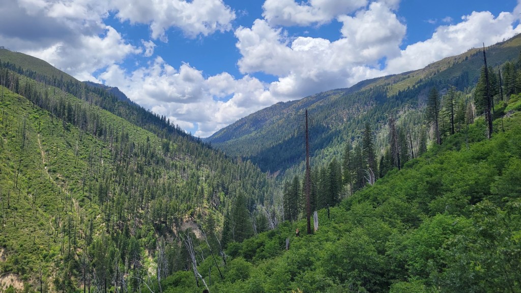
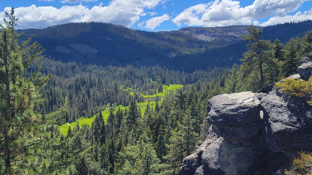
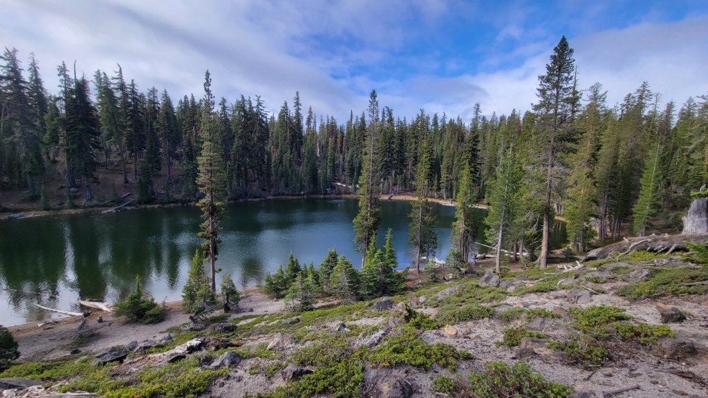
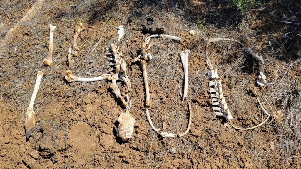
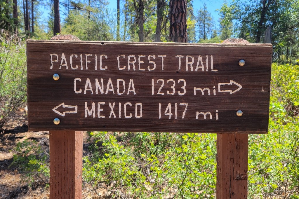
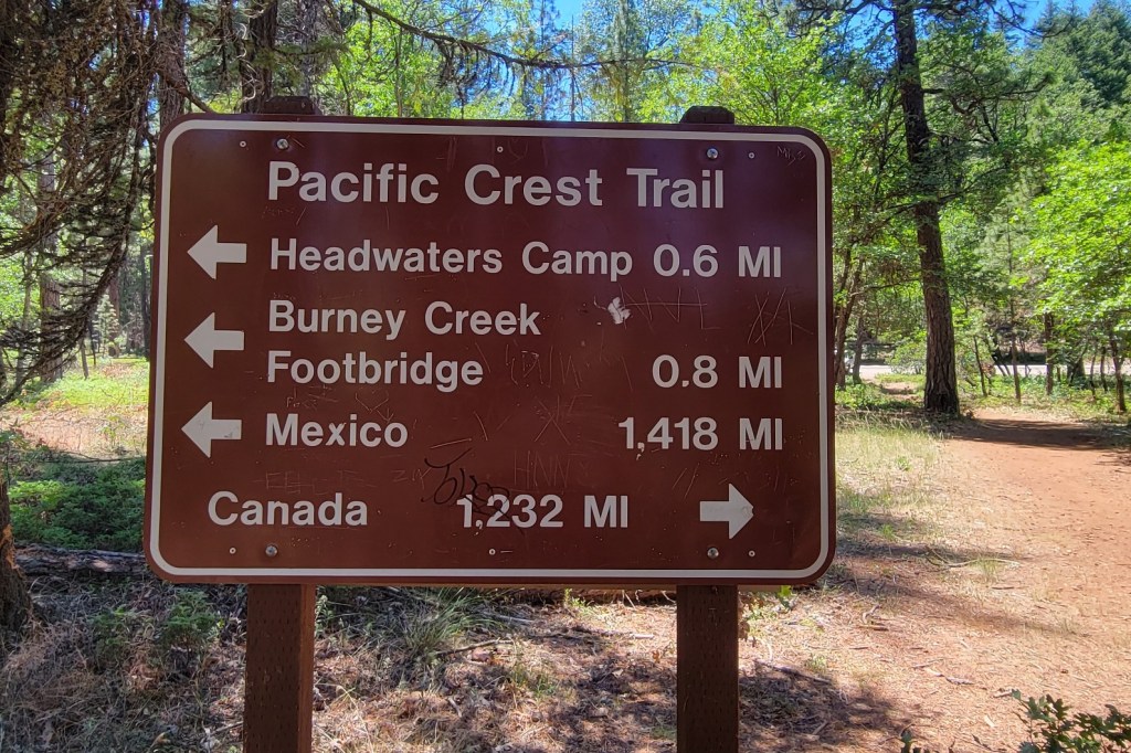
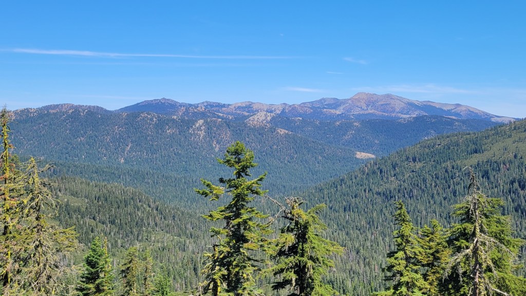
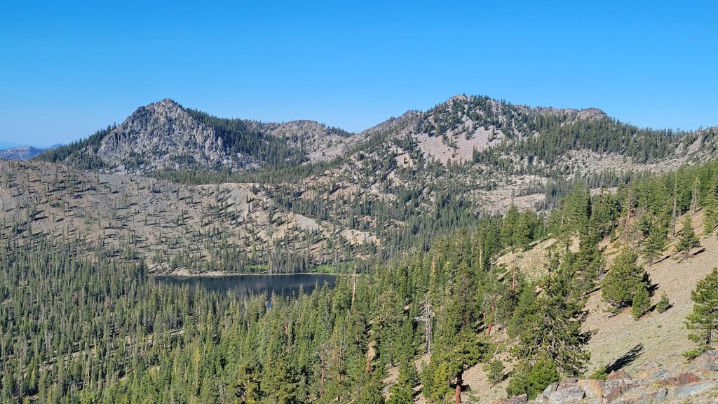
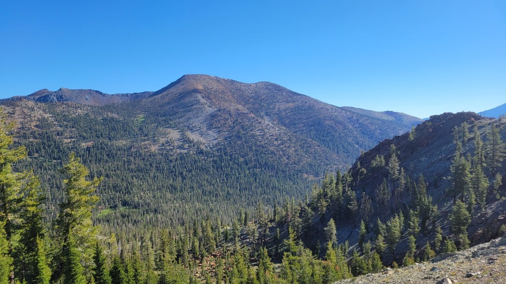
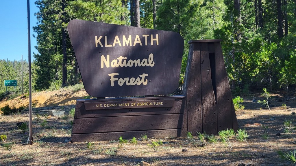
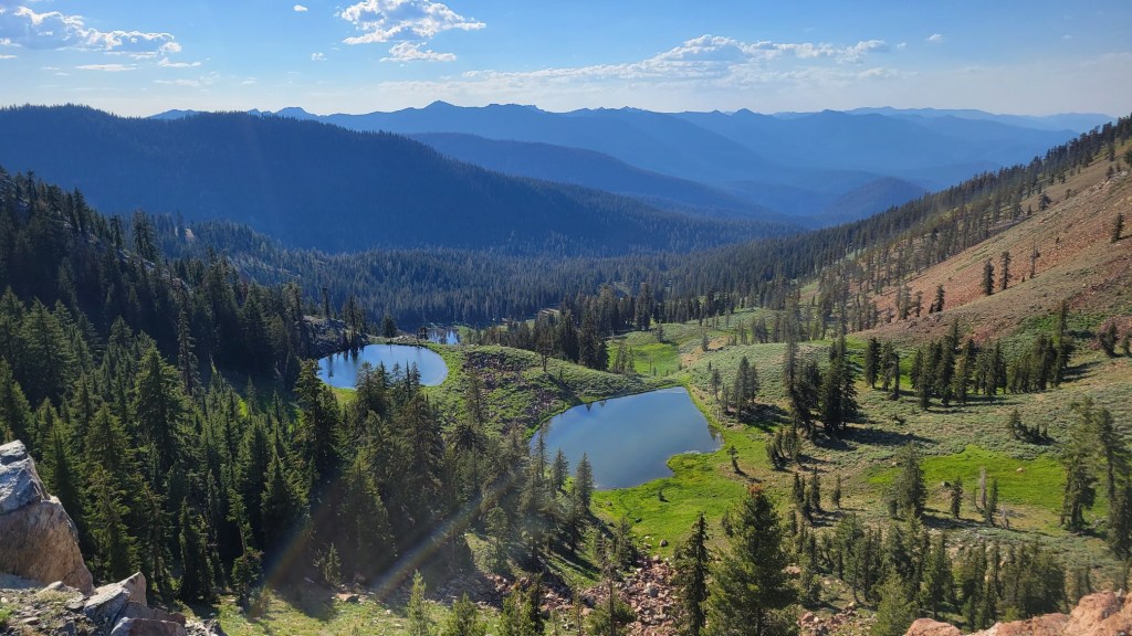
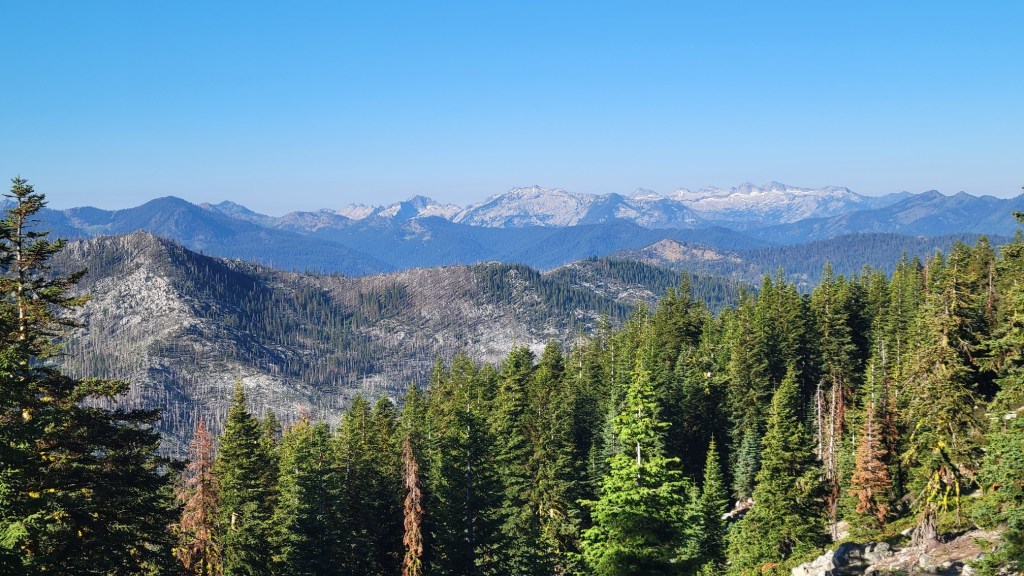
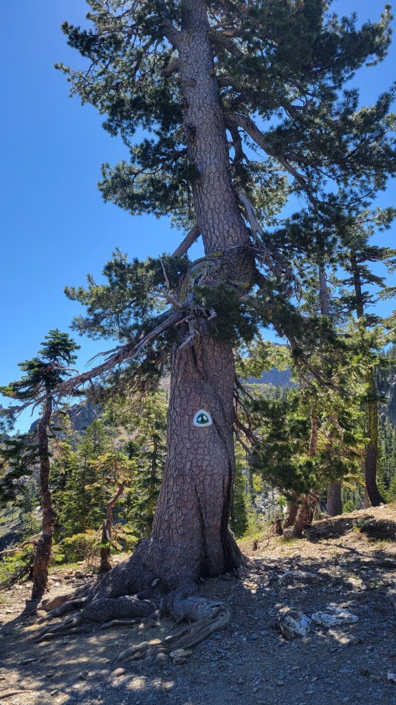
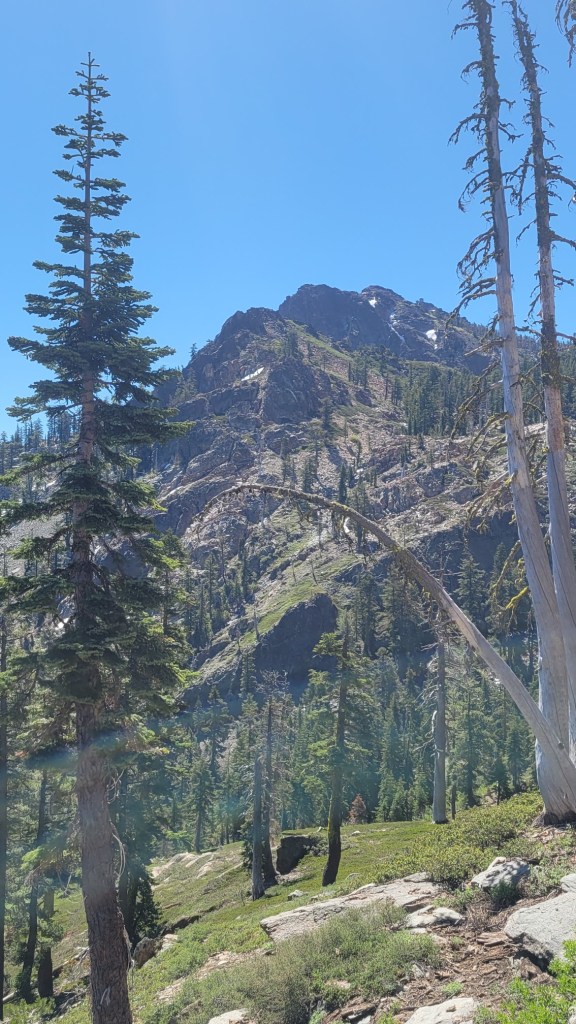
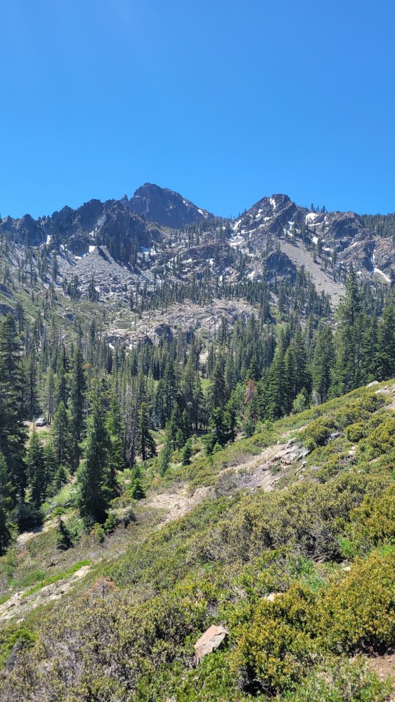
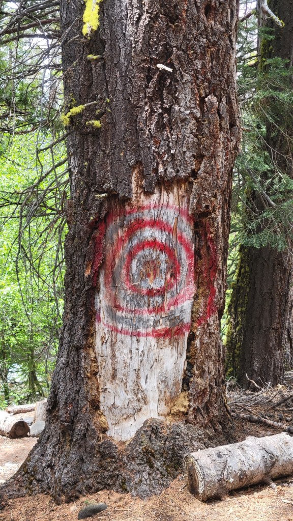
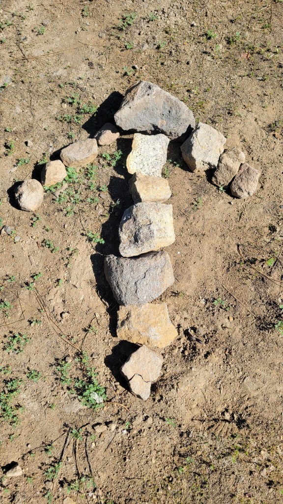
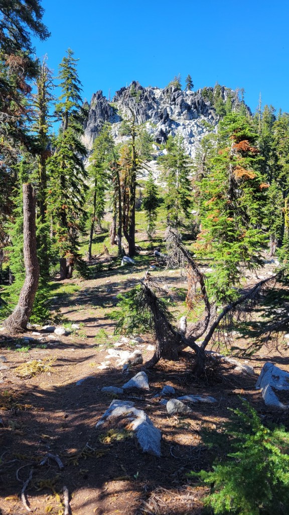
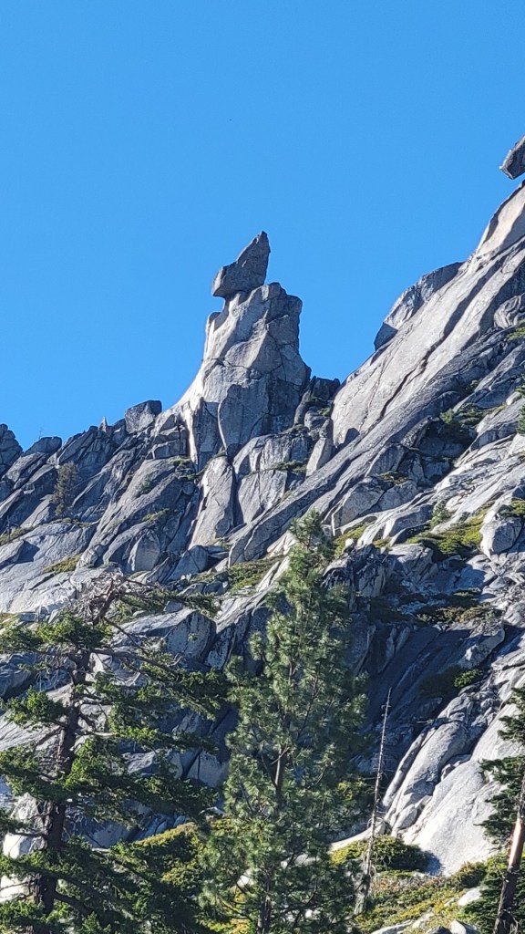
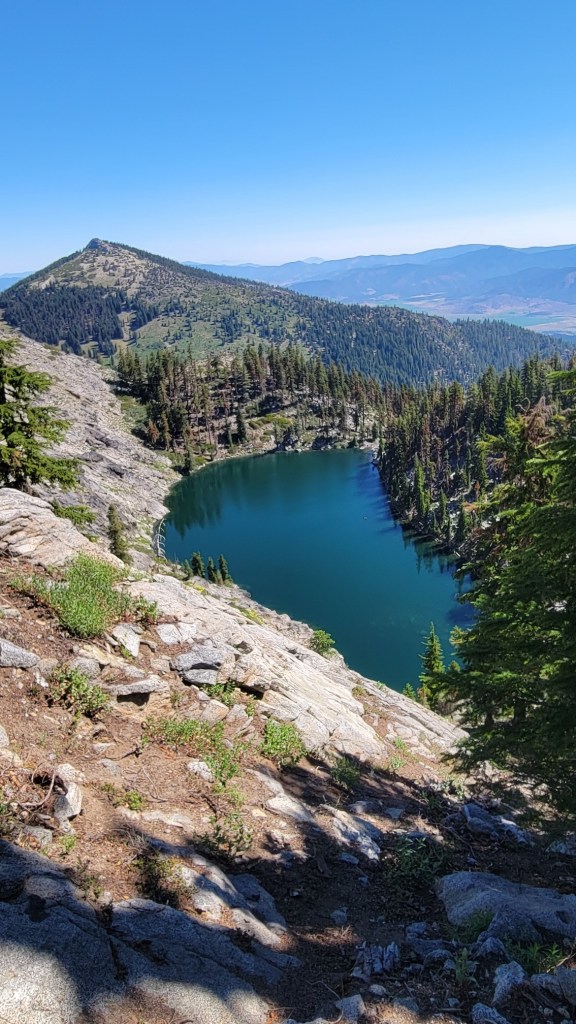
Not sure the reason for the rock cairnTrail construction. Water crosses the trail without eroding the trail.Old ranger cabinMarble MountainSomeone camped here and constructed this windbreak in order to stay warm.Unique trail maintenanceI went by Andy when I was a kid. No, I didn’t carve this.Klamath River near Seiad Valley, CAShall we take a rest?Bridge over the Klamath RiverGet off the road, turkeys.Note the “state of Jefferson” referenceLooking down on the Klamath RiverSmoky haze from the Bootleg FireTrail construction at a switchbackWildflowers growing in an old burn zoneSix roads diverged in a wood…Mountain meadowThe California Welcome Center on the PCT just south of the Oregon border.Me at the CA/OR borderMount AshlandTaking a rest along the trail. Someone left the chair for hikers to use.Tame deer in Ashland, ORNothing so peaceful as a forest road in the early morning.Dam next to the trailWarming hut used by cross country skiersInside the hutAs this tree grew, it “swallowed” portions of its branches.Old lava flowMore lavaI took this for my oldest sister. She was called Christy as a child.Lots of rocksRocks, rocks, and more rocksOld burn zoneFour trunks emerging from the same set of rootsThere are so many old burn zones along the trail in Nor Cal and Oregon.Also thru hikers. Beware.Crater LakeSmoky haze at the end of the dayAs opposed to “this lake here”Someone forgot their hat and car window sun deflector.Oregon lake countryAnother cross country ski warming hut.Mt. BachelorSouth SisterDuckA creek emerging from the groundMt. WashingtonBlue butterfliesMore lavaIt’s extremely tiring to walk on old loose lava.Cinder cone north of the Three SistersMiddle Sister and its remaining glaciers.A lone pine in the middle of an old lava flow.Mt. WashingtonCinder coneSubtract 550 and that’s the miles I’ve completed.Three Fingered Jack
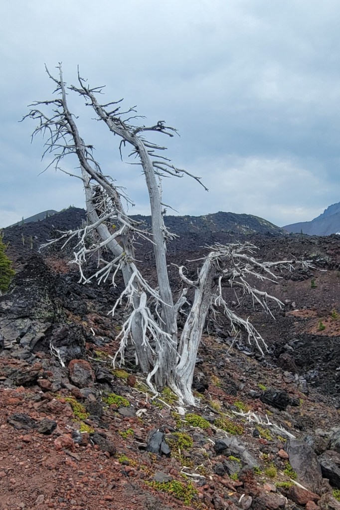
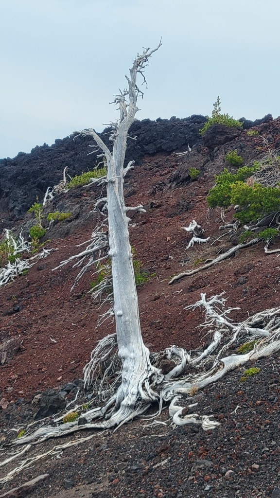
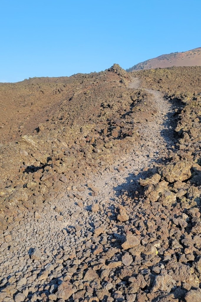
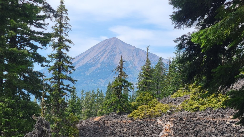
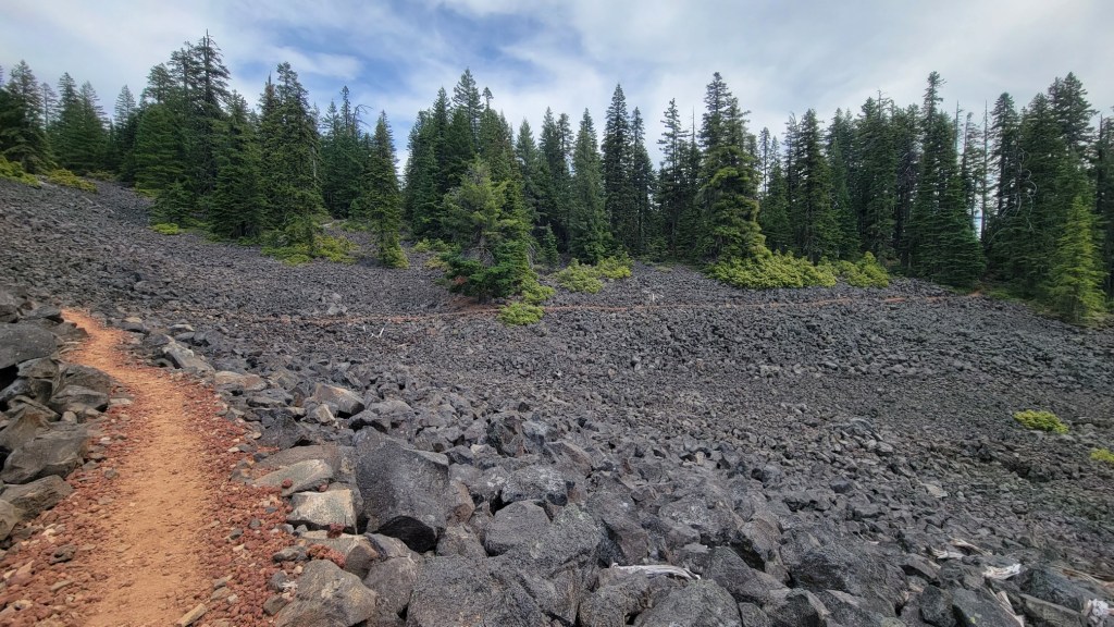
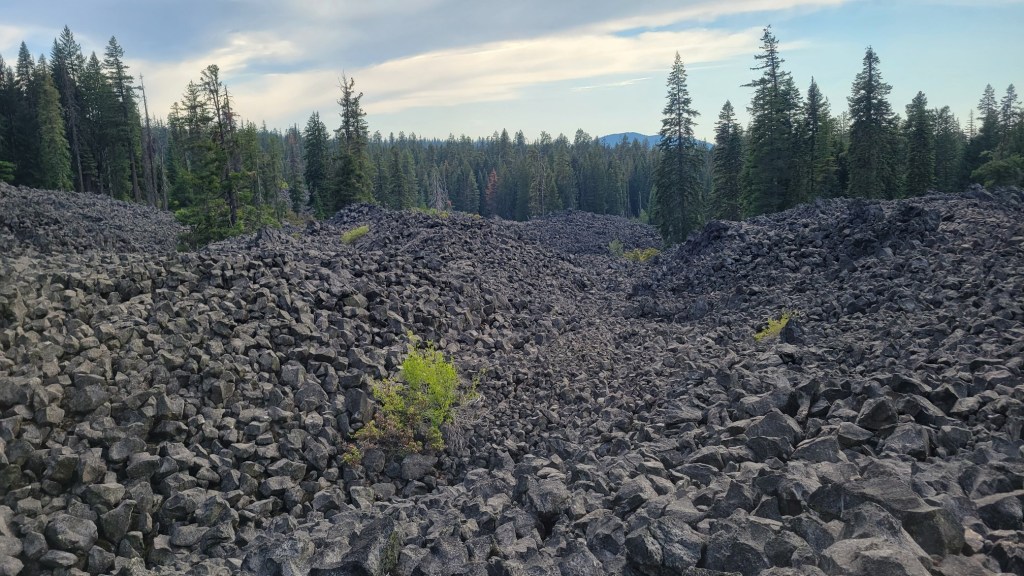
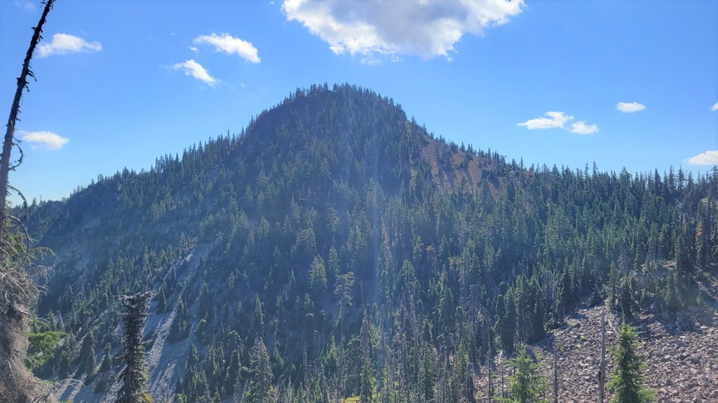
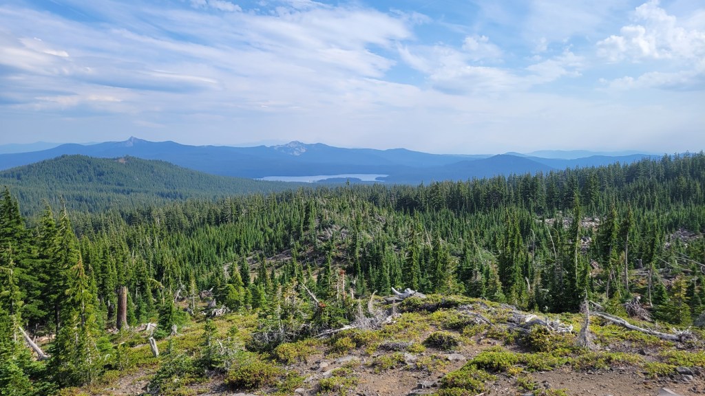
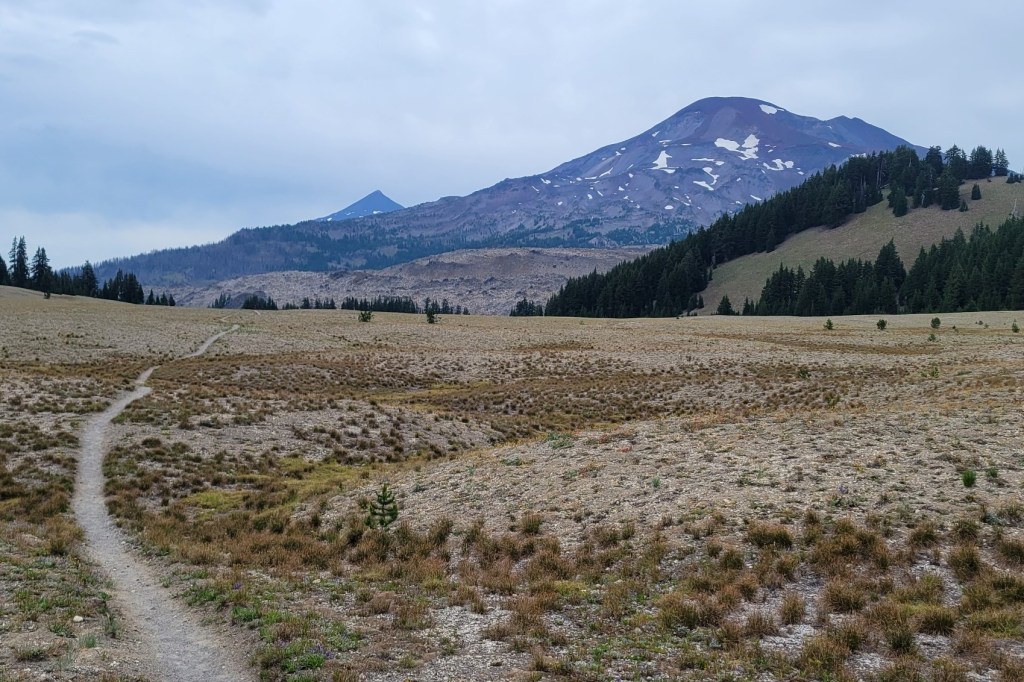
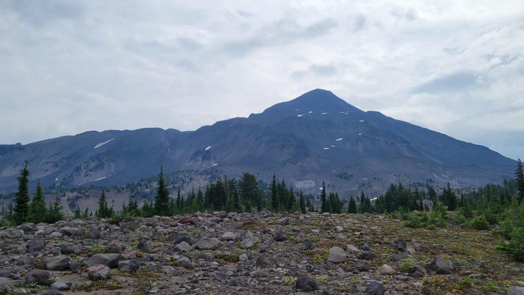
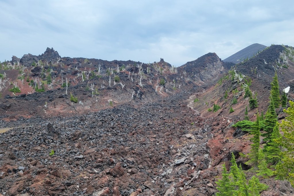
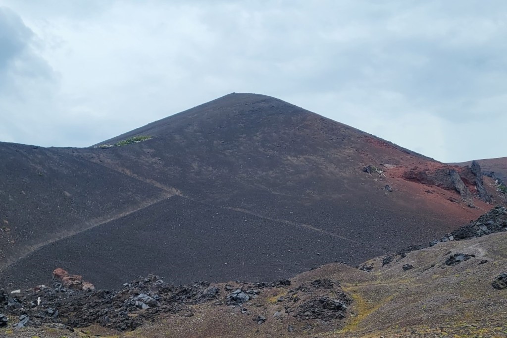
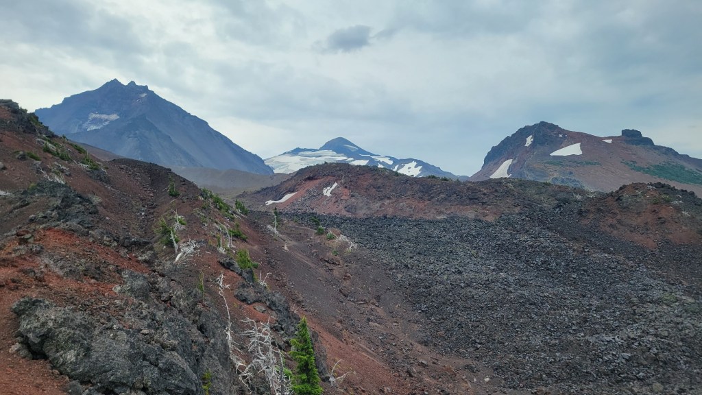
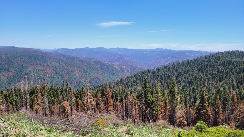
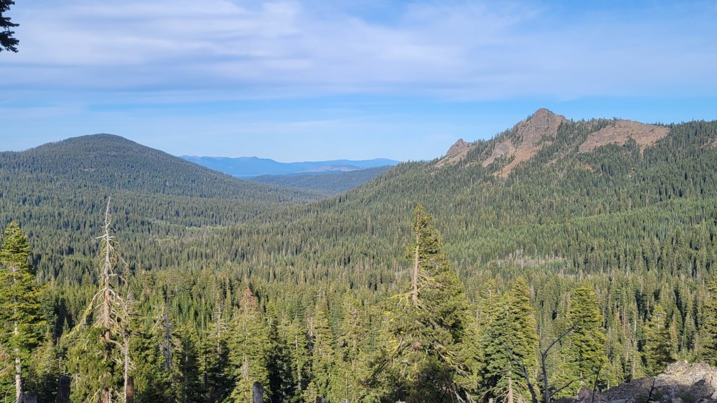
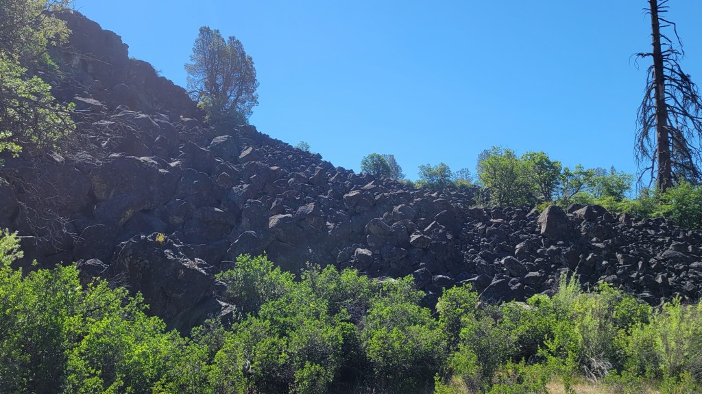
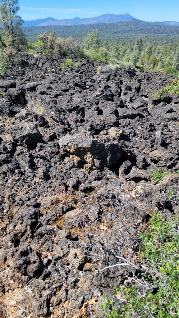
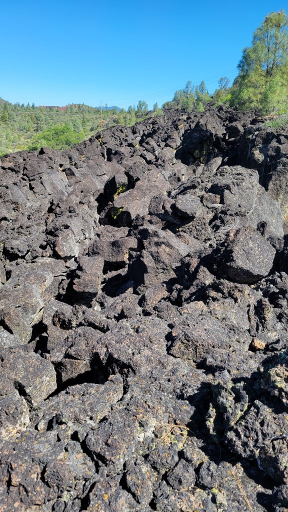
In the Cascade Mountains of Oregon, there are places where the PCT travels through old lava flows. This is particularly the case north of the Three Sisters. It’s extremely tiring to walk on the loose, unstable lava rock. Very hard on the feet, too. I can’t imagine how hard it was to build the trail through here.
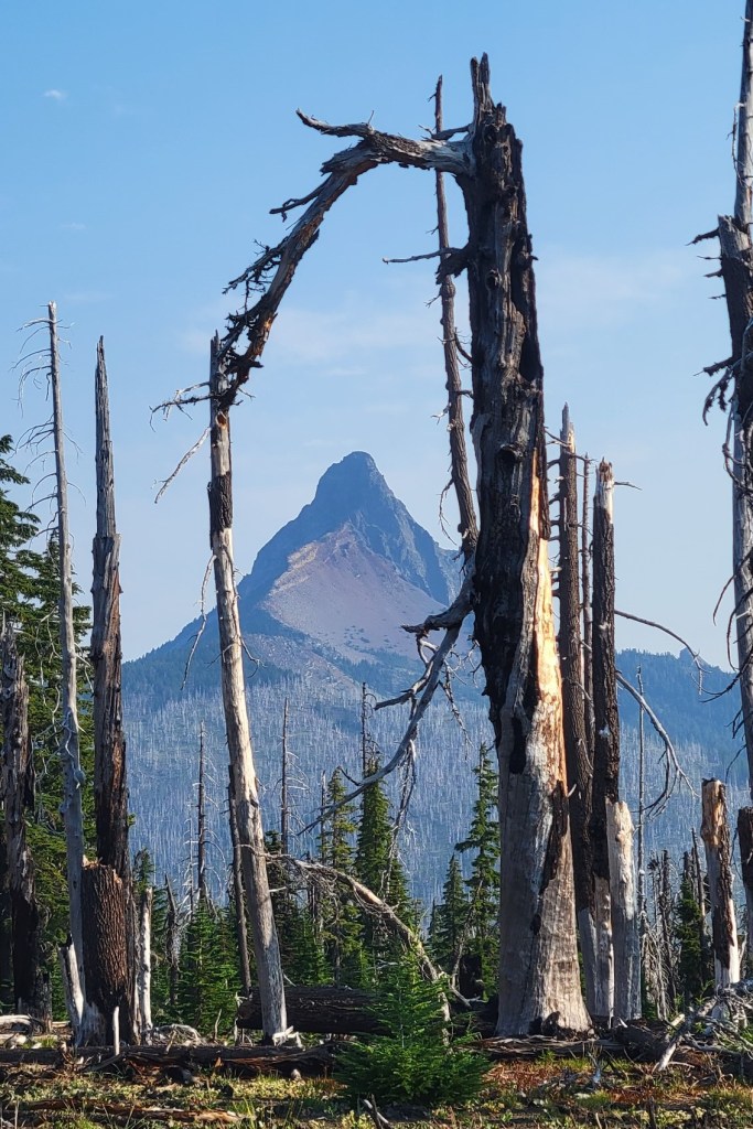
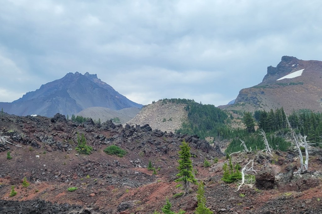
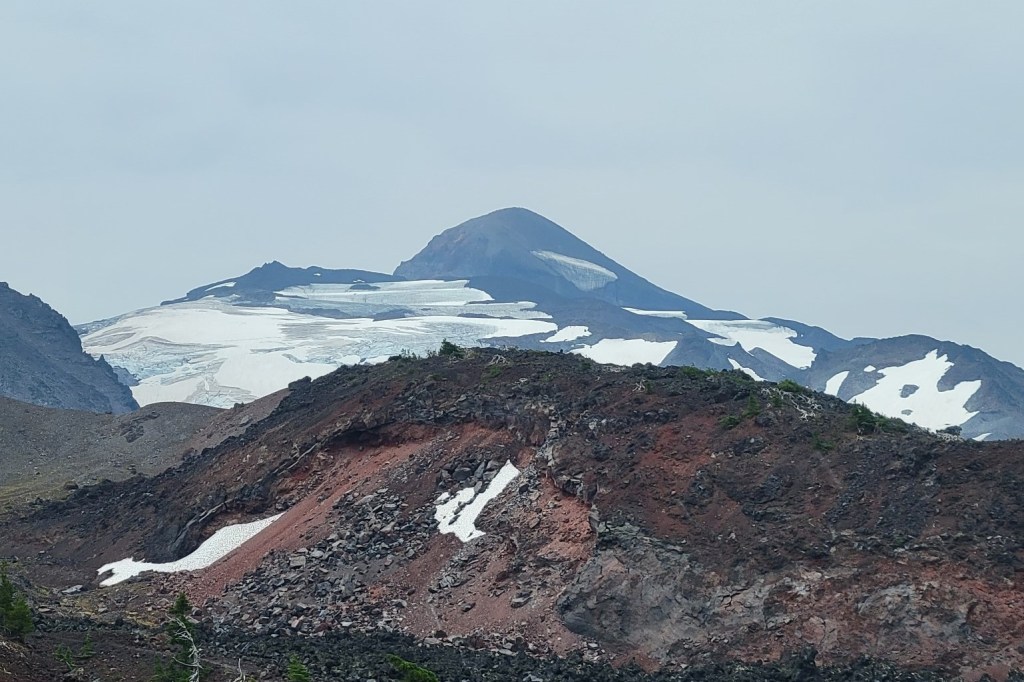
The mountain I pan by near the beginning of the clip, which I say I don’t know the name of, is Mt. Washington. At the end, I misidentify the mountain with visible glaciers. It’s Middle Sister, not North Sister. North Sister is next to Middle Sister on the left. South Sister isn’t visible. Thank god for my fact checker.
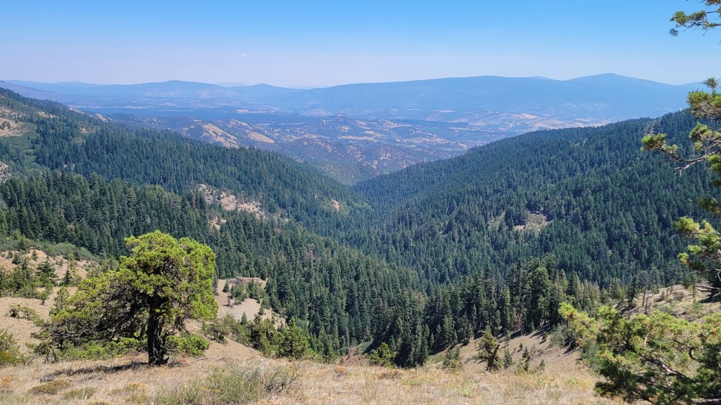
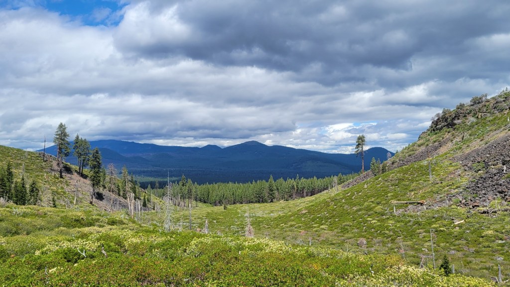
In the Cascade Mountains of Oregon with views of Mt. Bachelor and South Sister, one of the Three Sisters. I talk about my future plans once I get off the trail in a few days at Santiam Pass for my monthly break at home.
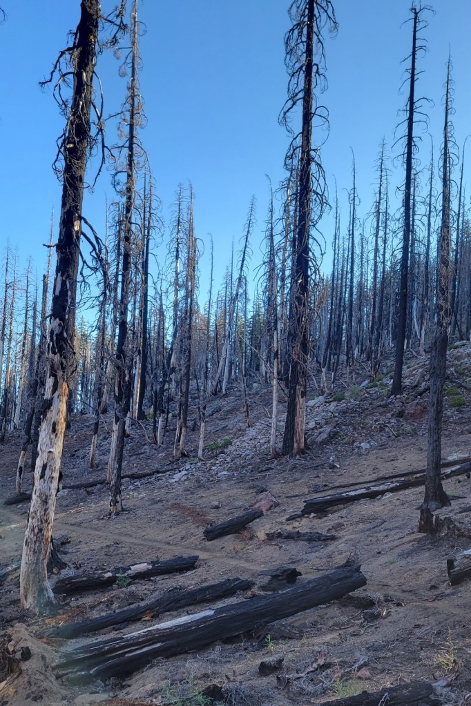
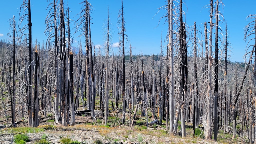
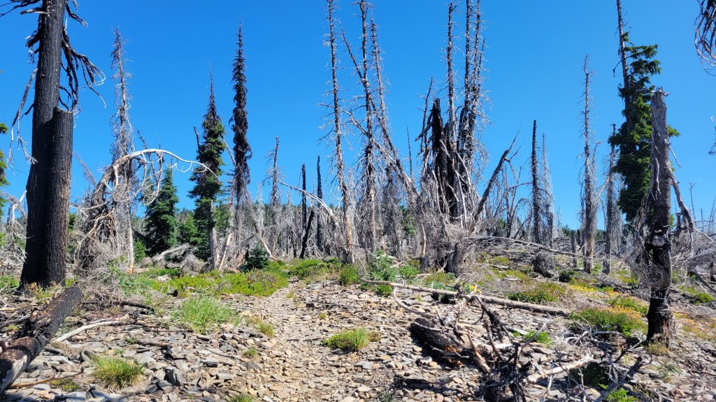
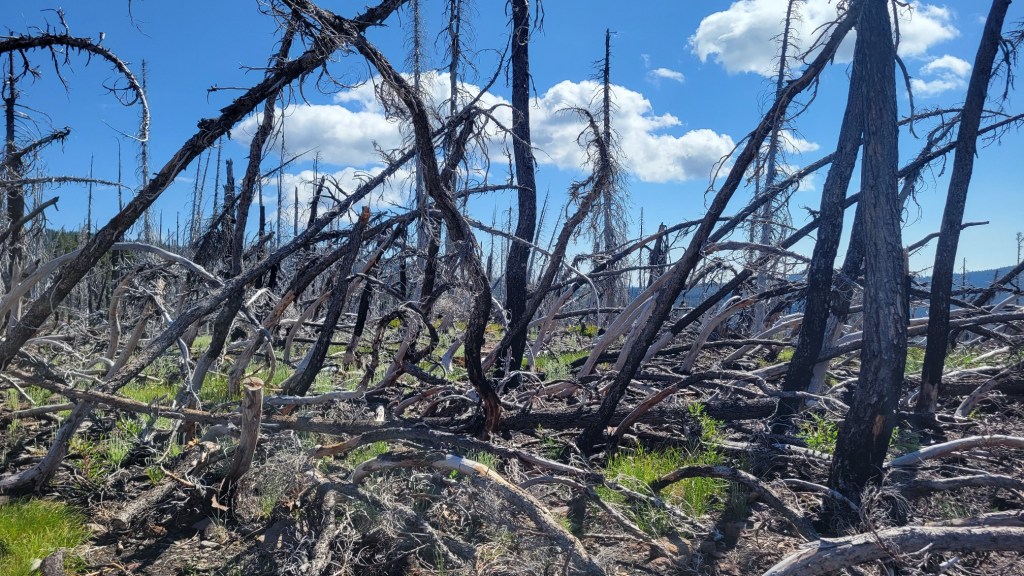
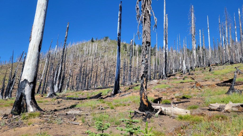
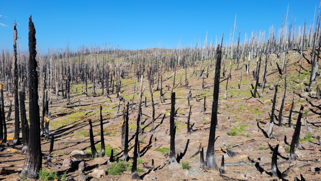
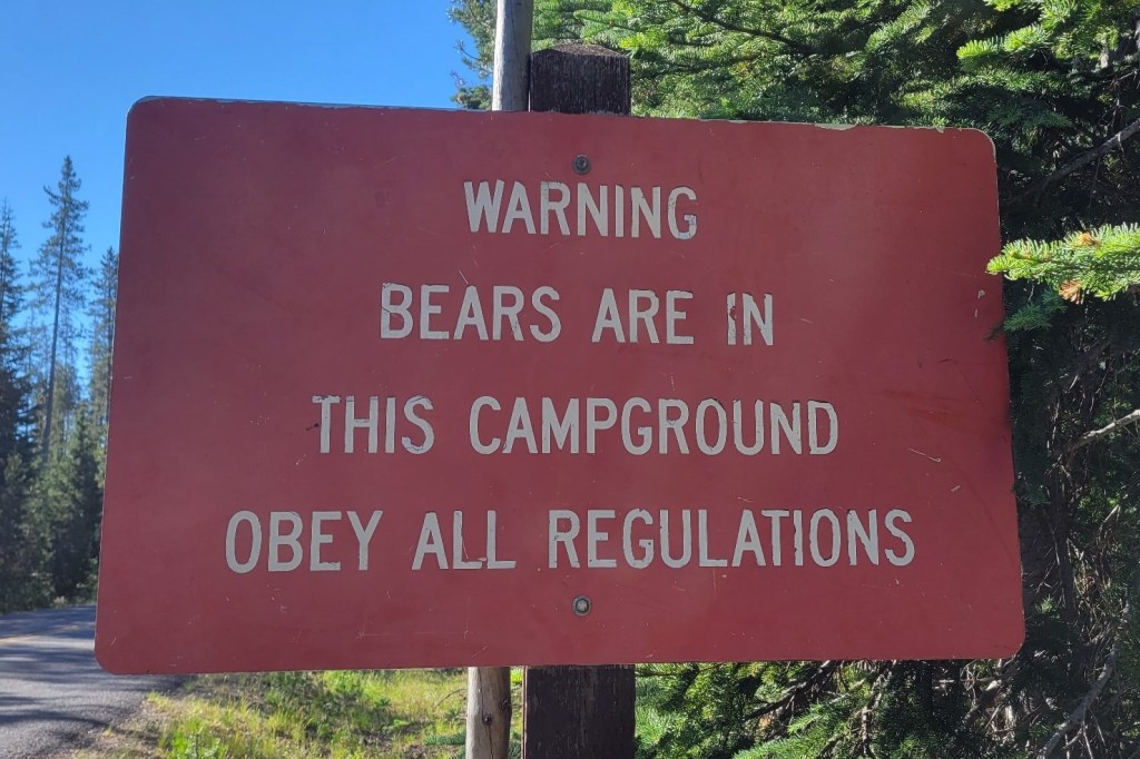
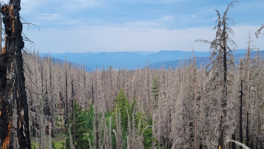
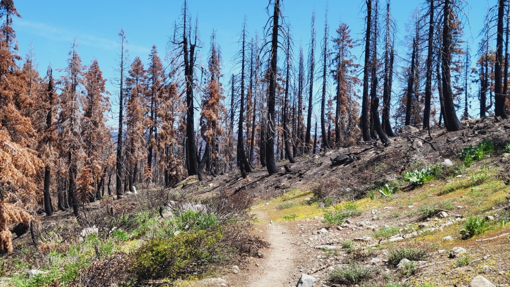
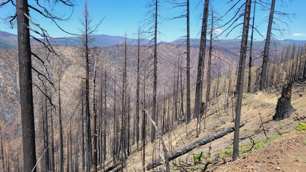
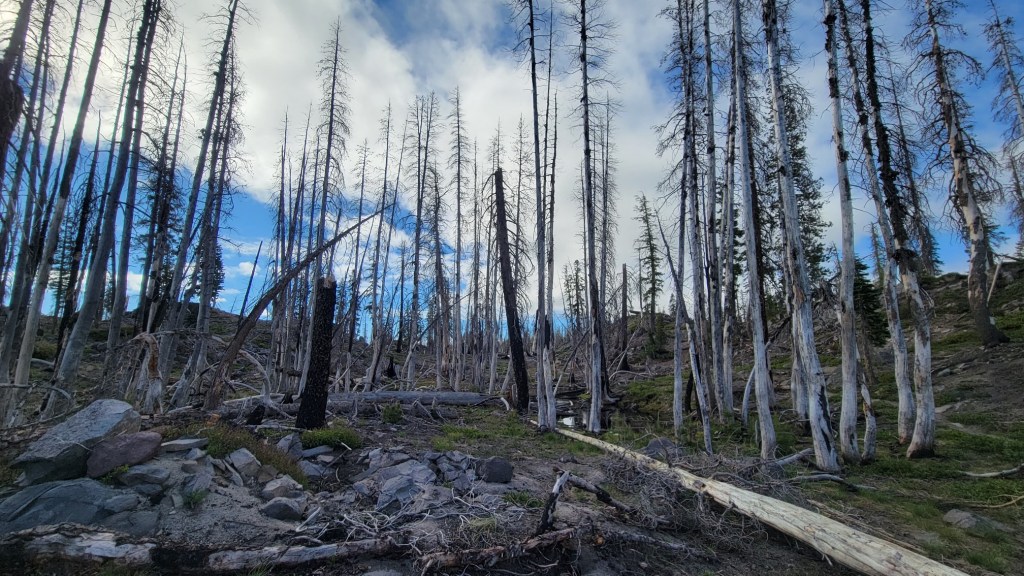
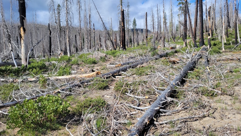
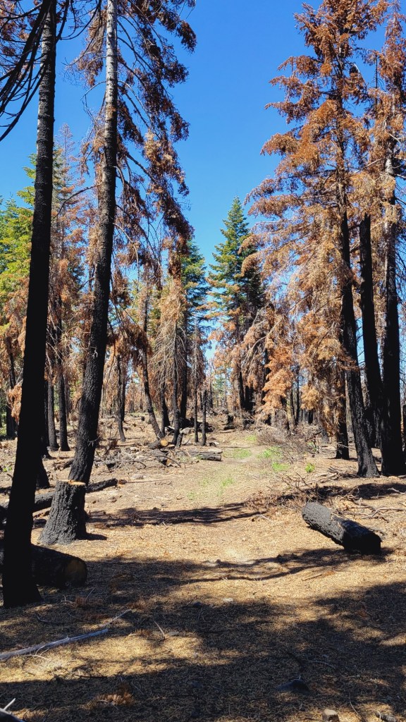
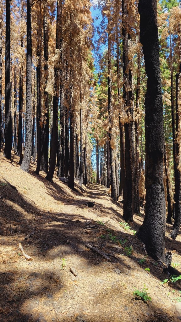
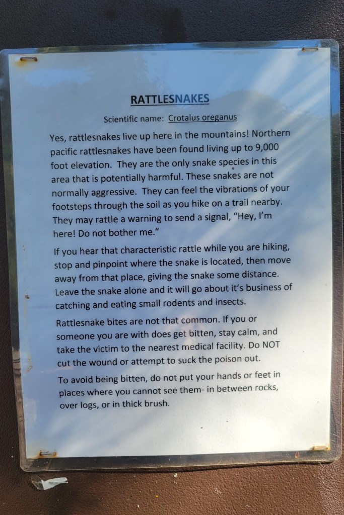
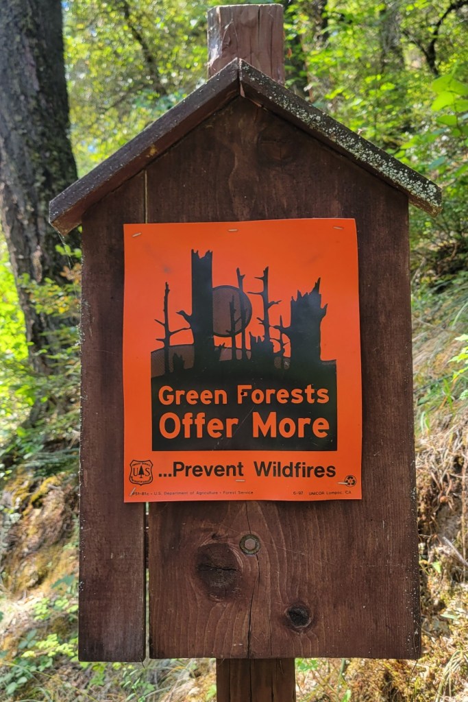
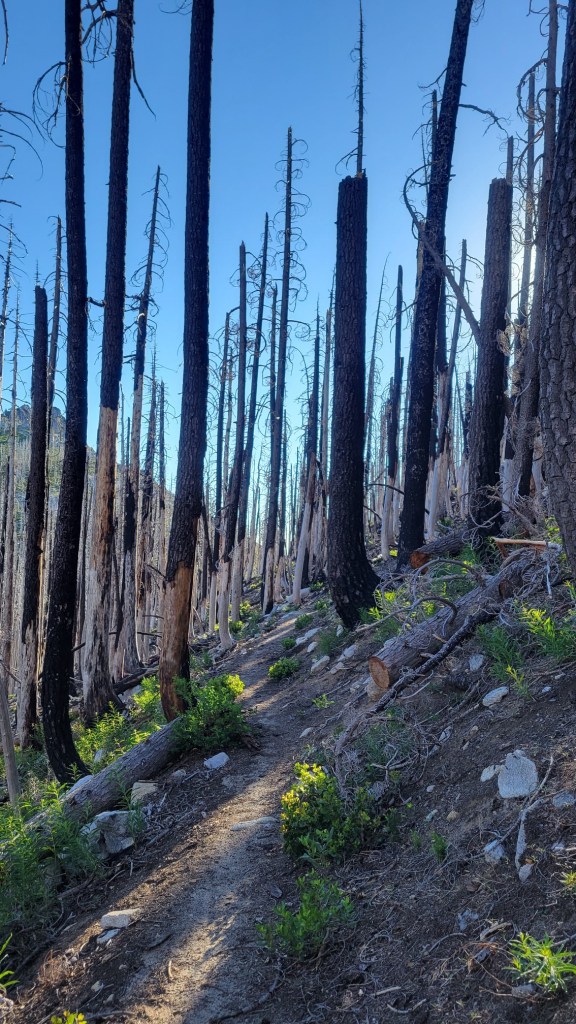
Sadly, fire has become a fact of life for me on the PCT. Unfortunately, this is a drought year during a time of man-made global warming.
I walked through a number of fire zones in So Cal, including two from fires last year. You may remember the photos and video I posted in April of a landscape totally obliterated by a very hot fire in chapperel country. All that remained was dirt & twigs. The earth itself was sanitized.
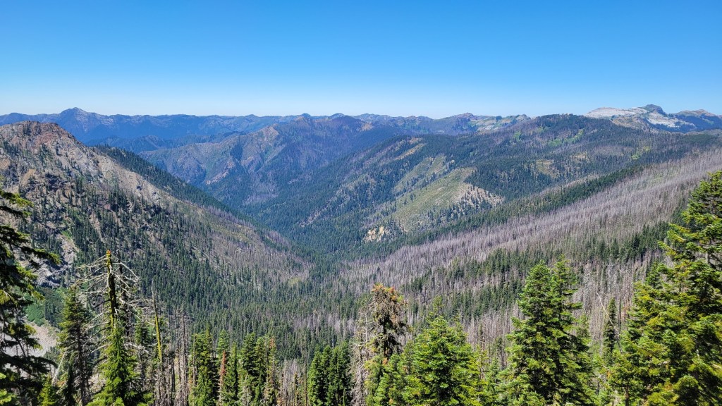
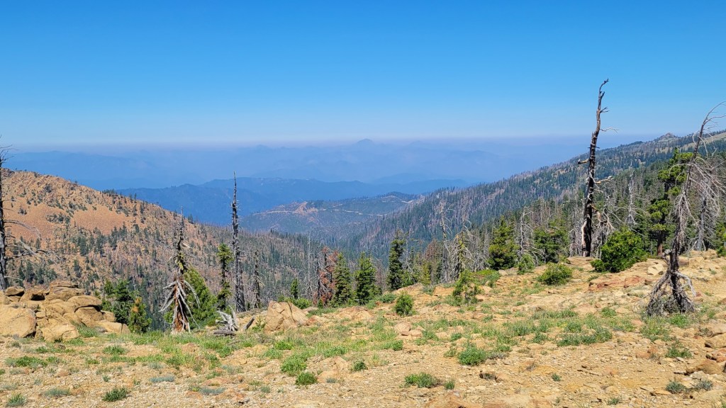
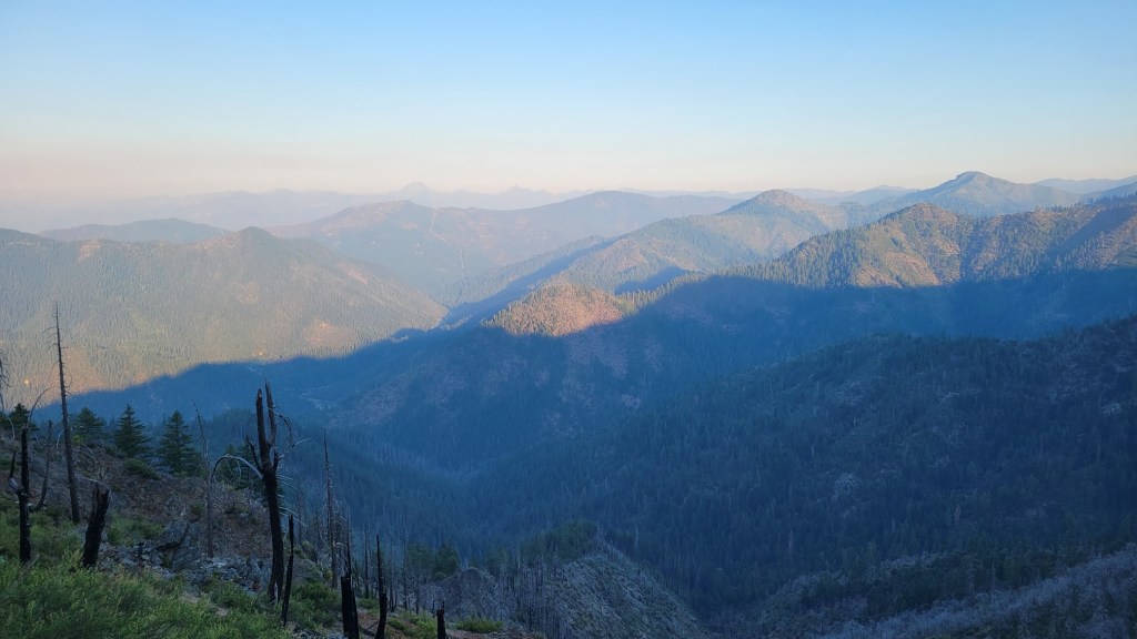
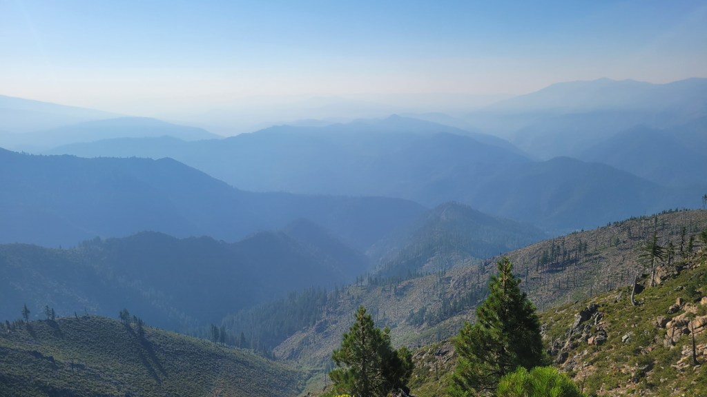
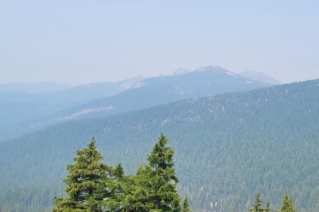
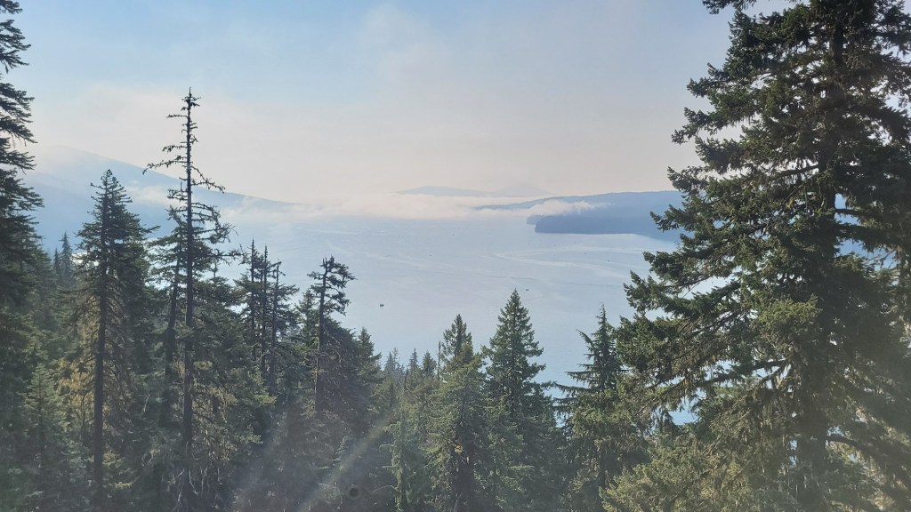
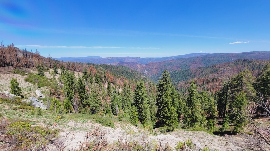
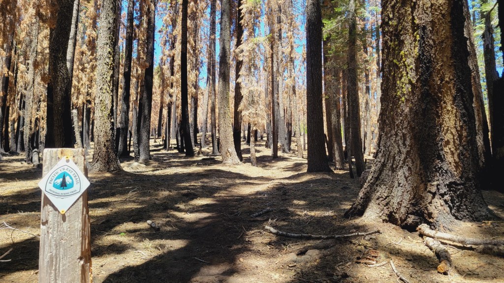
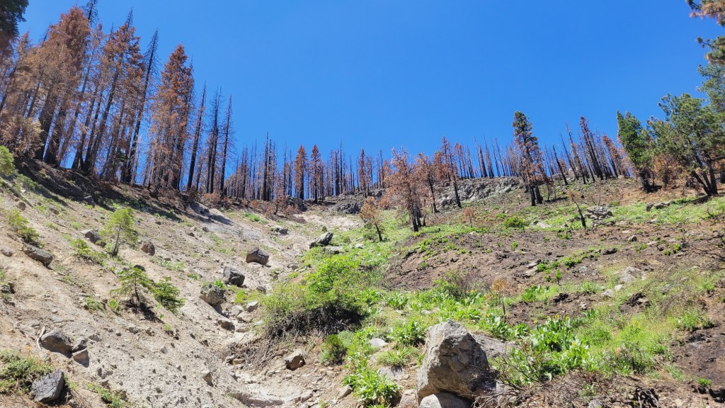
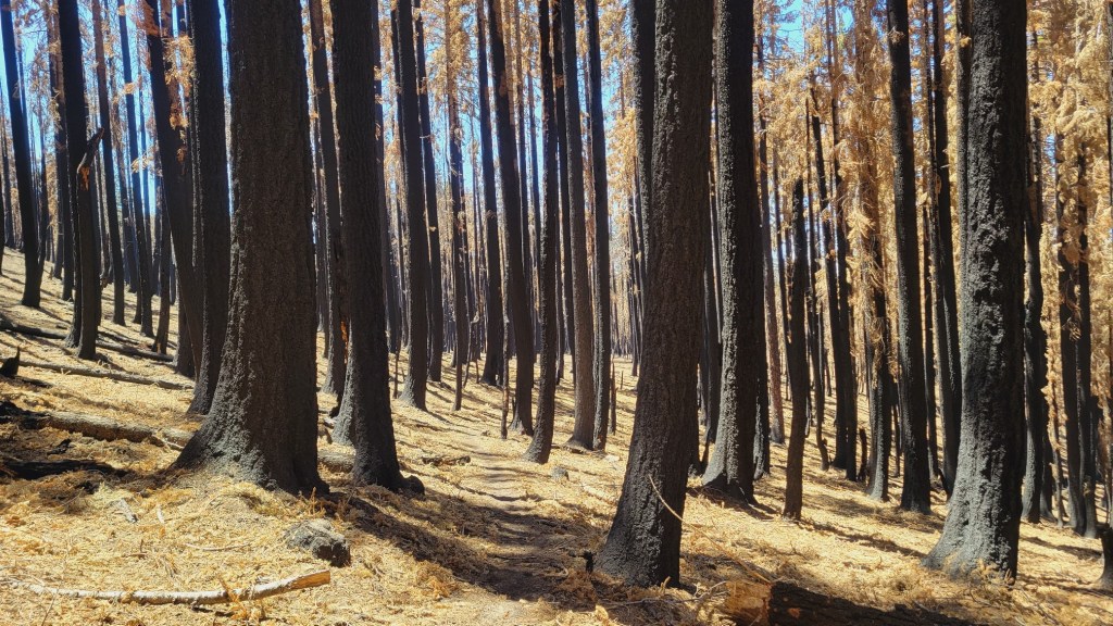
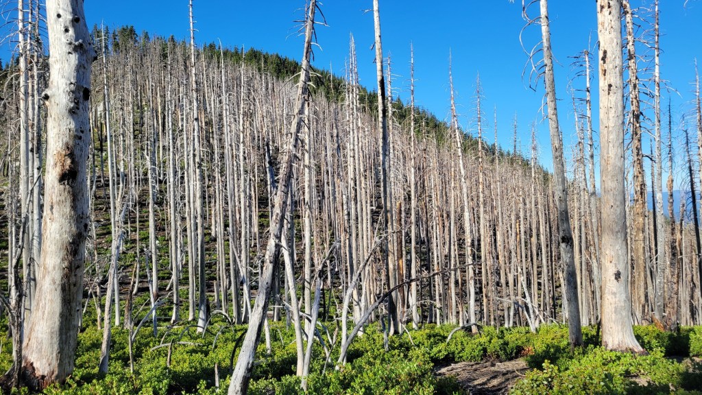
I’ve been passing through more fire zones in far Northern California and Southern Oregon. At least a part of every day over the past 10 days has been spent walking through cathedrals of burnt trees. In addition, there have been numerous active fires visible from the trail.
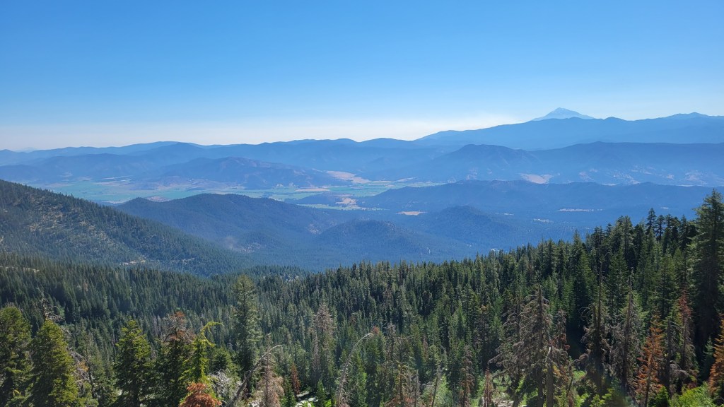
As you may recall, I wrote about hiking a 24-mile day to put distance between me and the Lava Fire on the slopes of Mt. Shasta near Weed. Then I saw the Tenant Fire “blow up” east of Mt. Shasta. I missed the Salt Fire on Shasta Lake only because I was home in Hanford at the time. It forced friends of mine who had hosted me only a week earlier at their second home in Lakehead to evacuate. (Fortunately, no damage to them and their house.)
Well, there have been more fires since then, particularly in Oregon. The biggest is the Bootleg Fire northeast of Klamath Falls. Today, that fire passed 250,000 acres burned. It is less than 10% contained. 250,000 acres is 390 square miles. The fire is about 60 miles east of the PCT.
Here’s a video I shot last Saturday when I first saw the huge cloud formation caused by the Bootleg Fire. I happened to be in an old burn zone when I saw it. Very depressing.
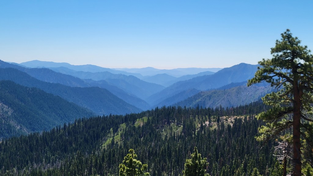
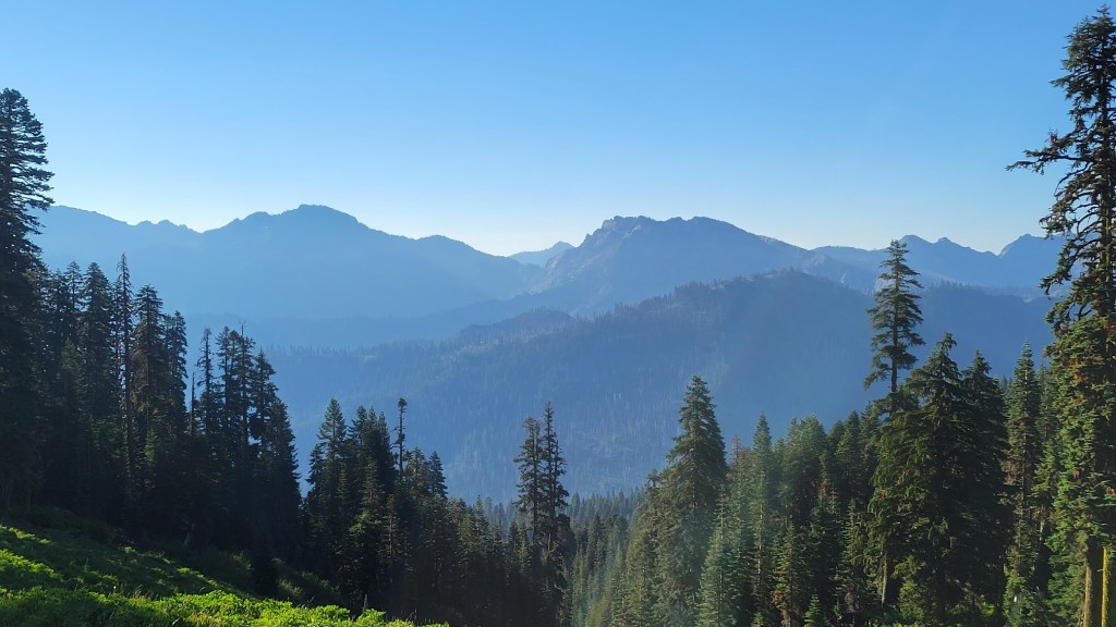
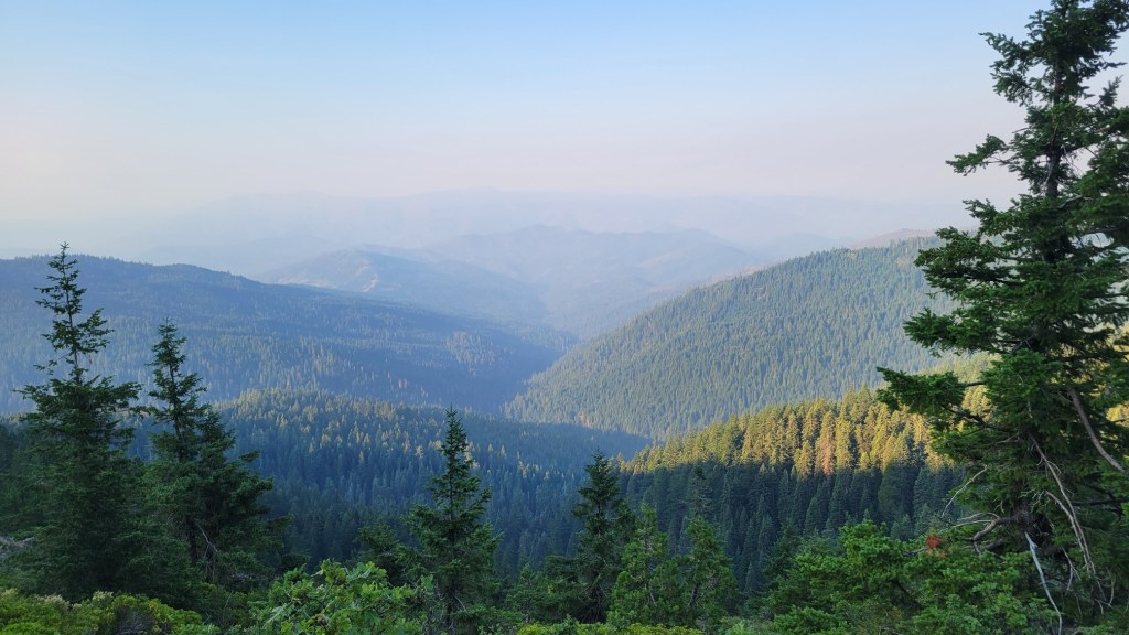
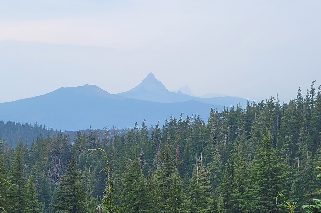
Beyond the destruction in the fire zone area, there is also the impact on air quality even 100 or more miles away. Notice the haze in the photos below.
You can smell the smoke as you walk. You can almost taste it. And one night in my tent, I felt like I couldn’t get enough oxygen. What more can I say.
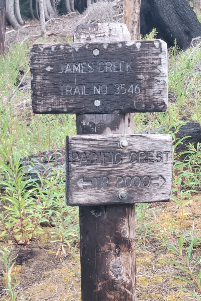
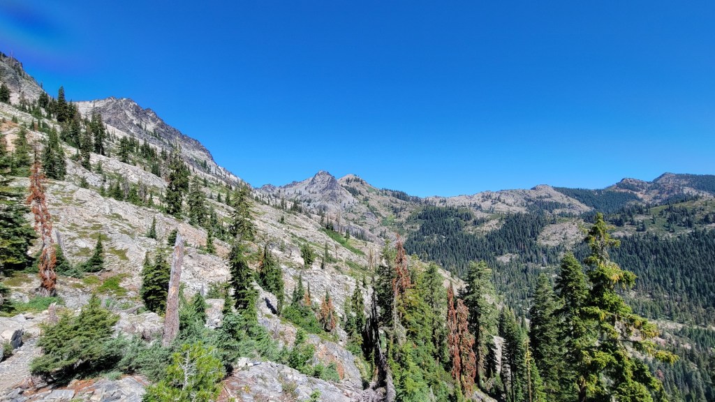
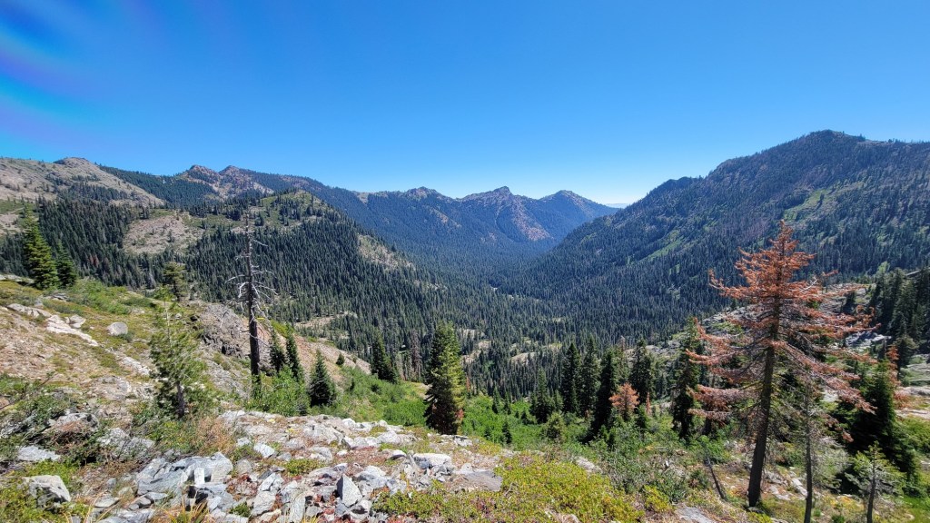
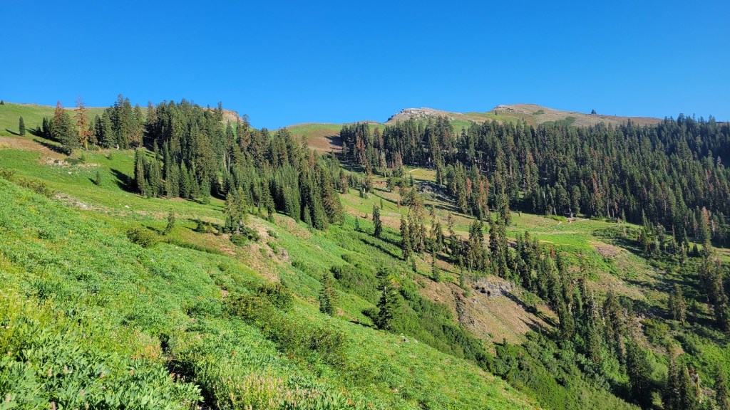
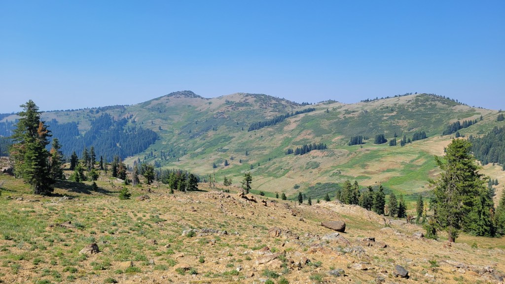
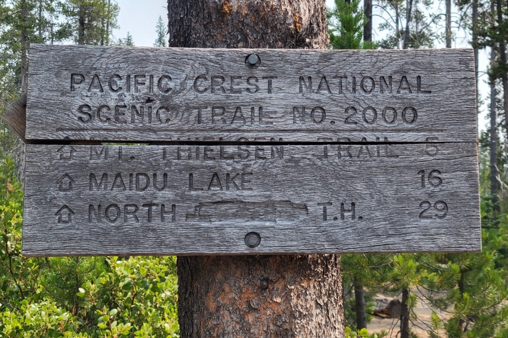
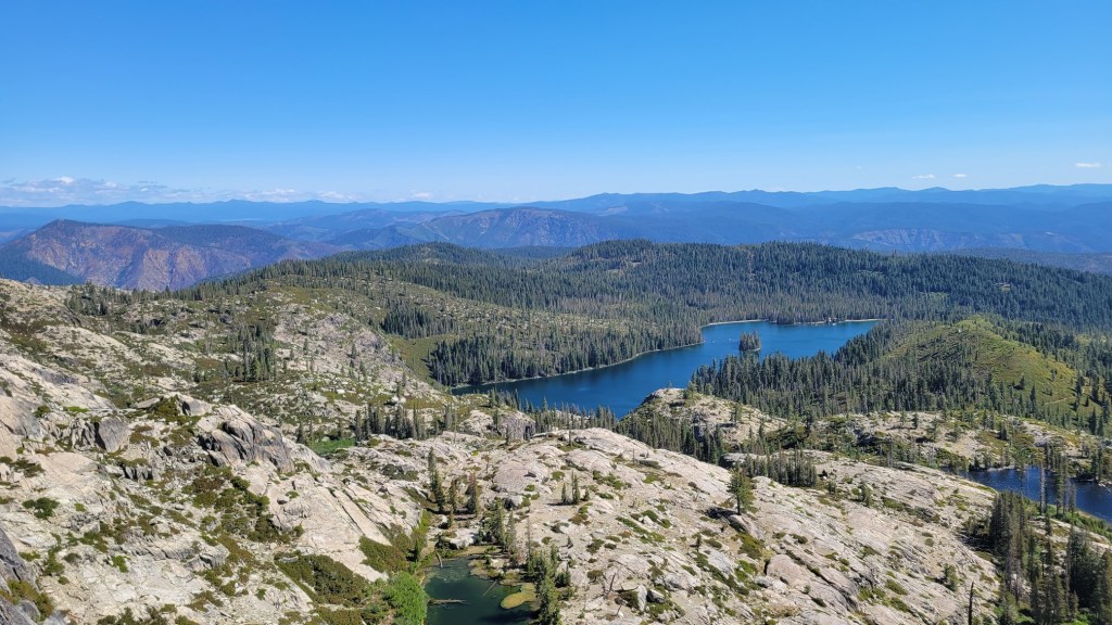
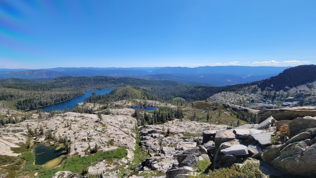
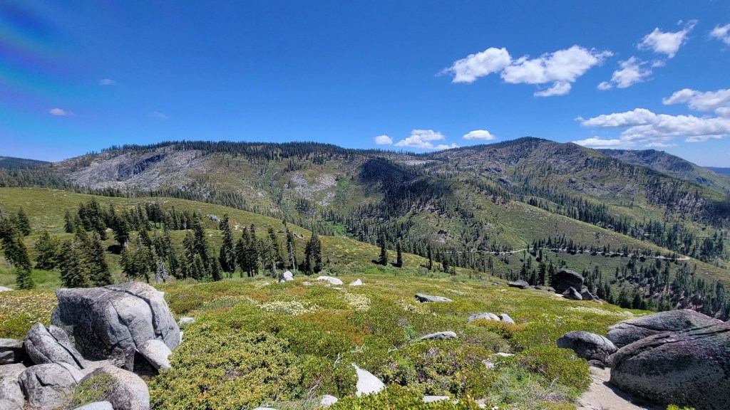
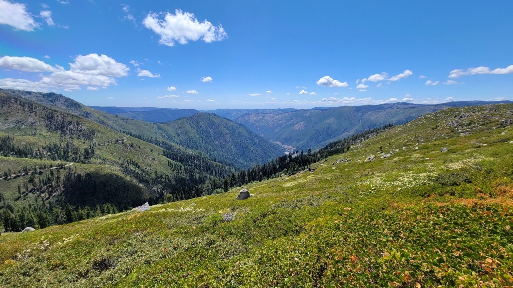
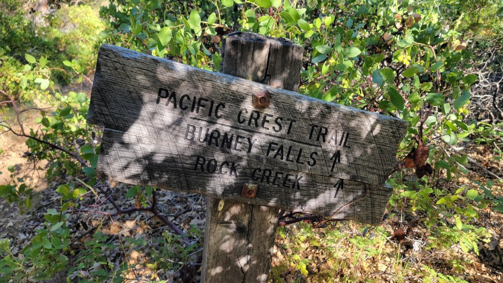
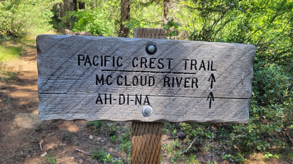
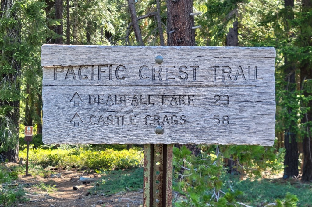
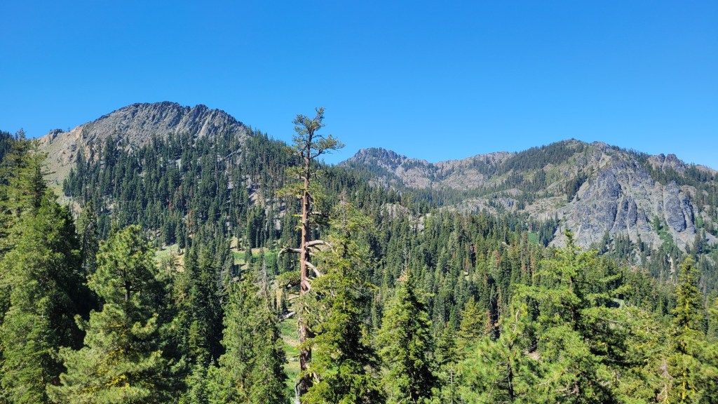
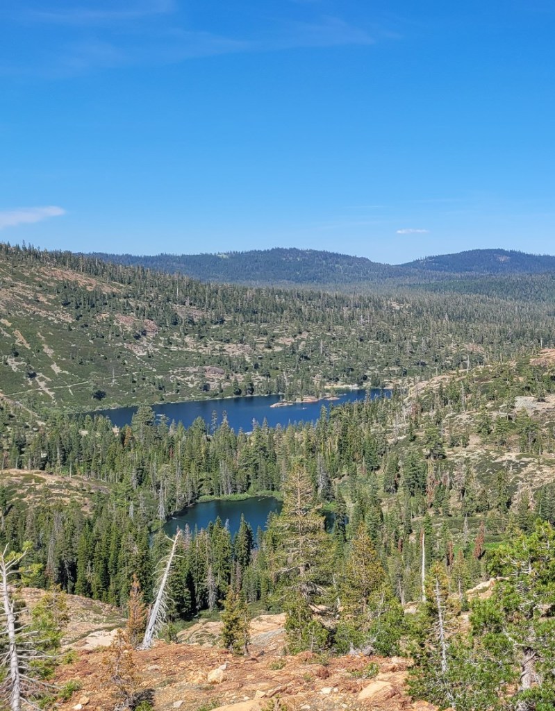
Here are photos from the 408-mile trail section that stretches from Sierra City, 42 trail miles north of Donner Pass, to Etna, 93 trail miles south of the Oregon border.
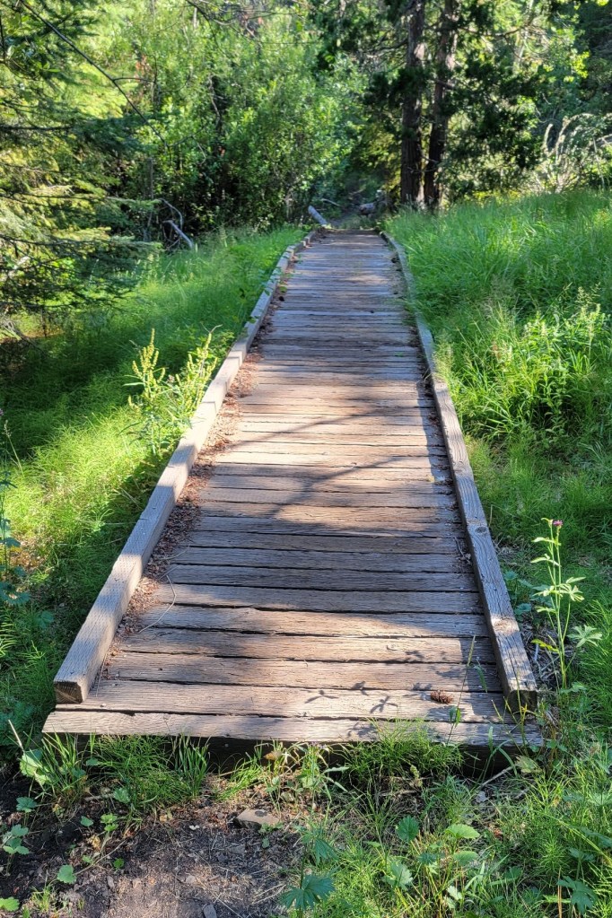
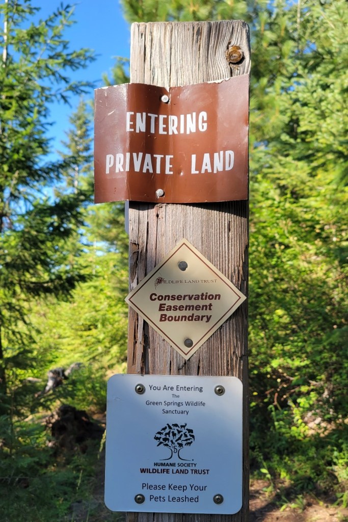
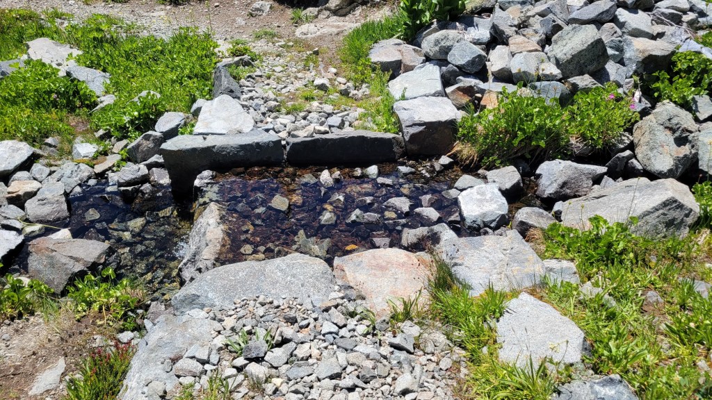
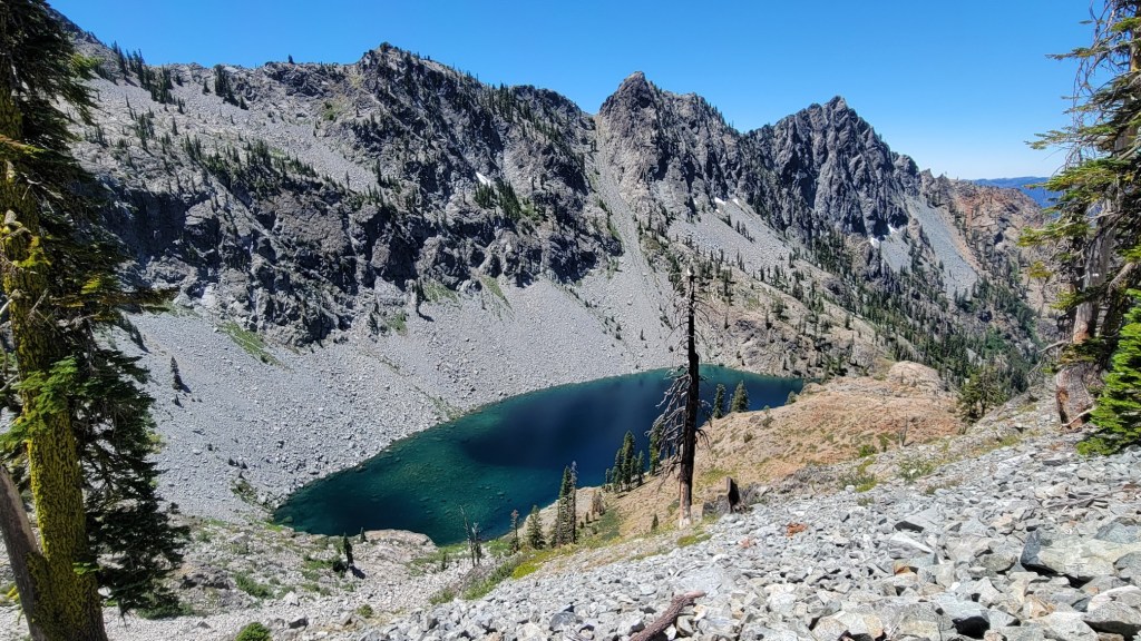
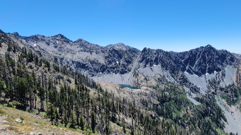
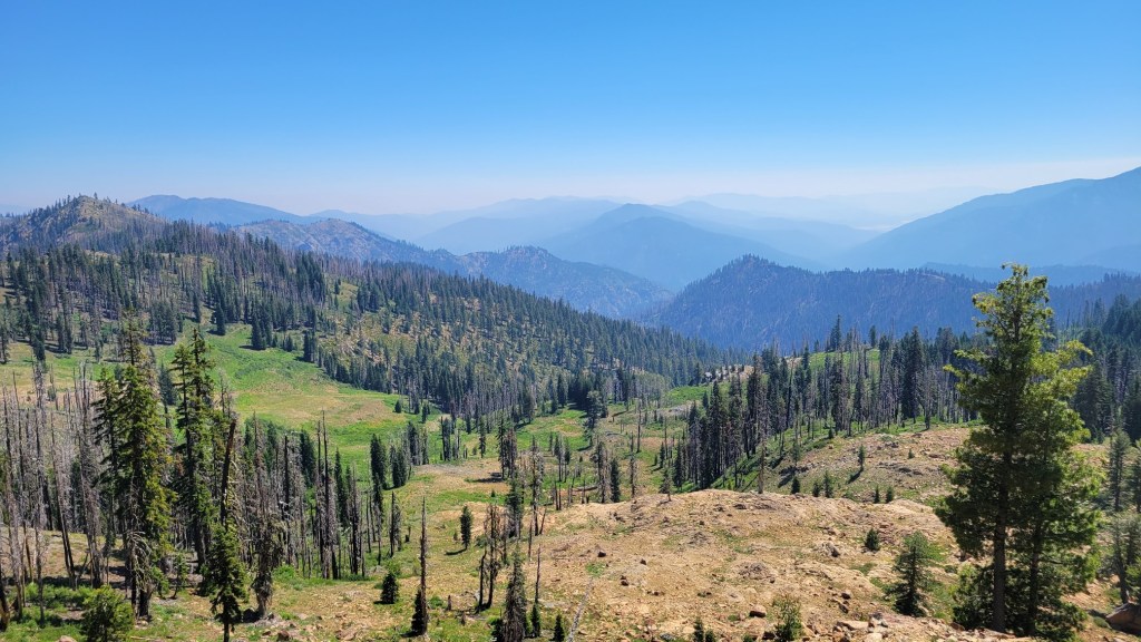
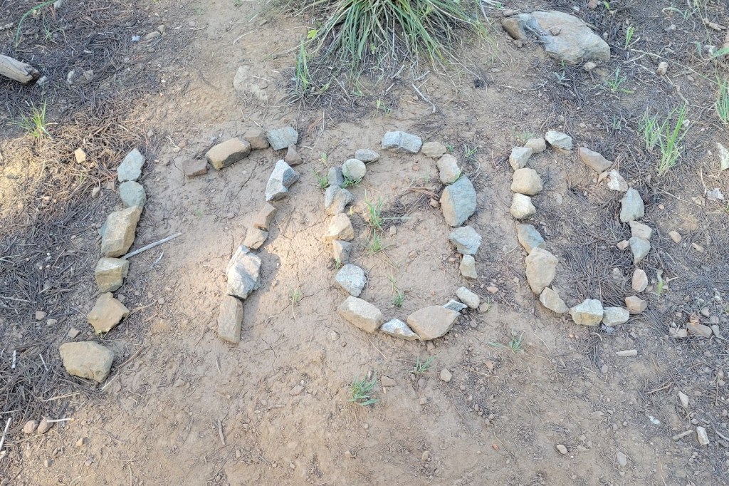
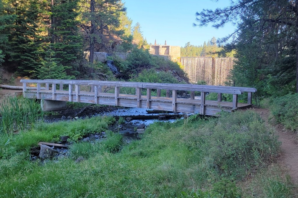
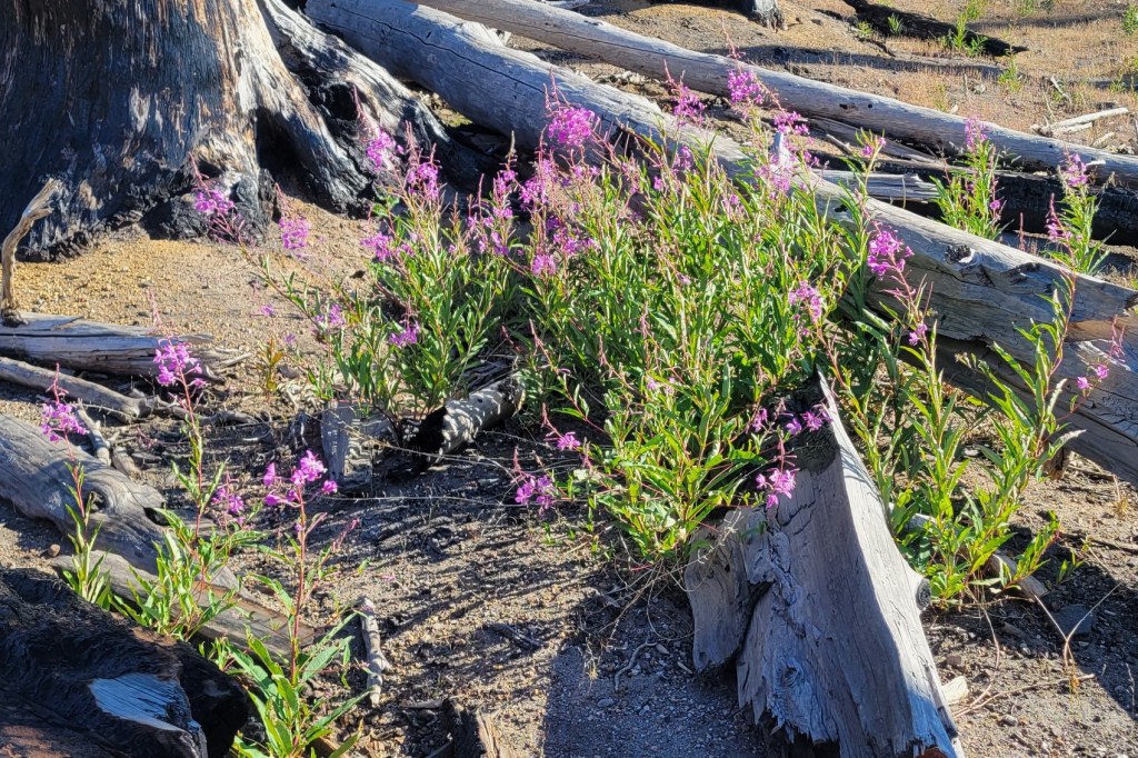
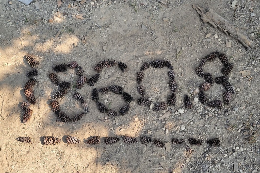
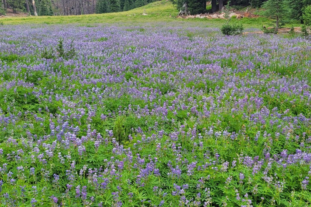
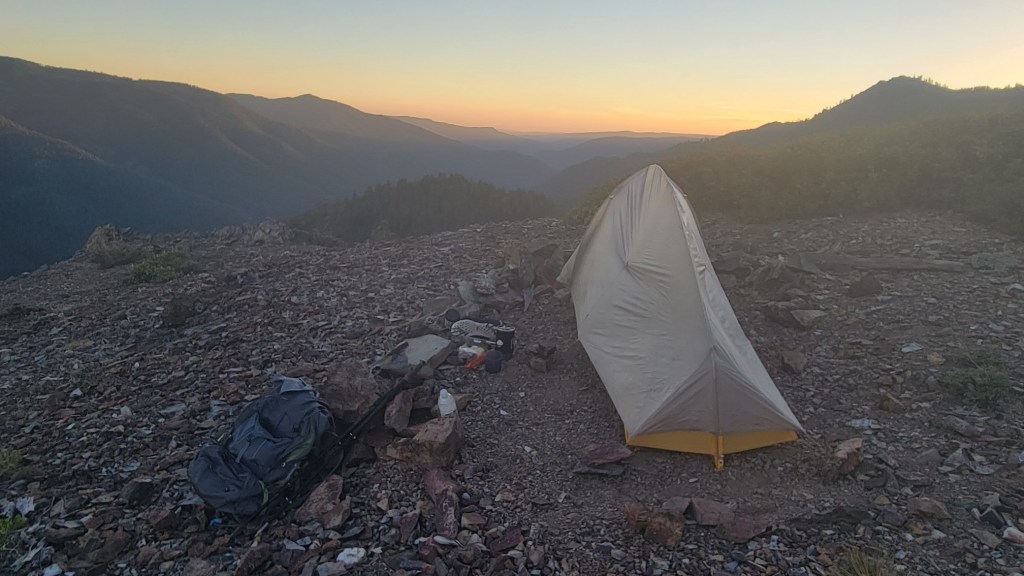
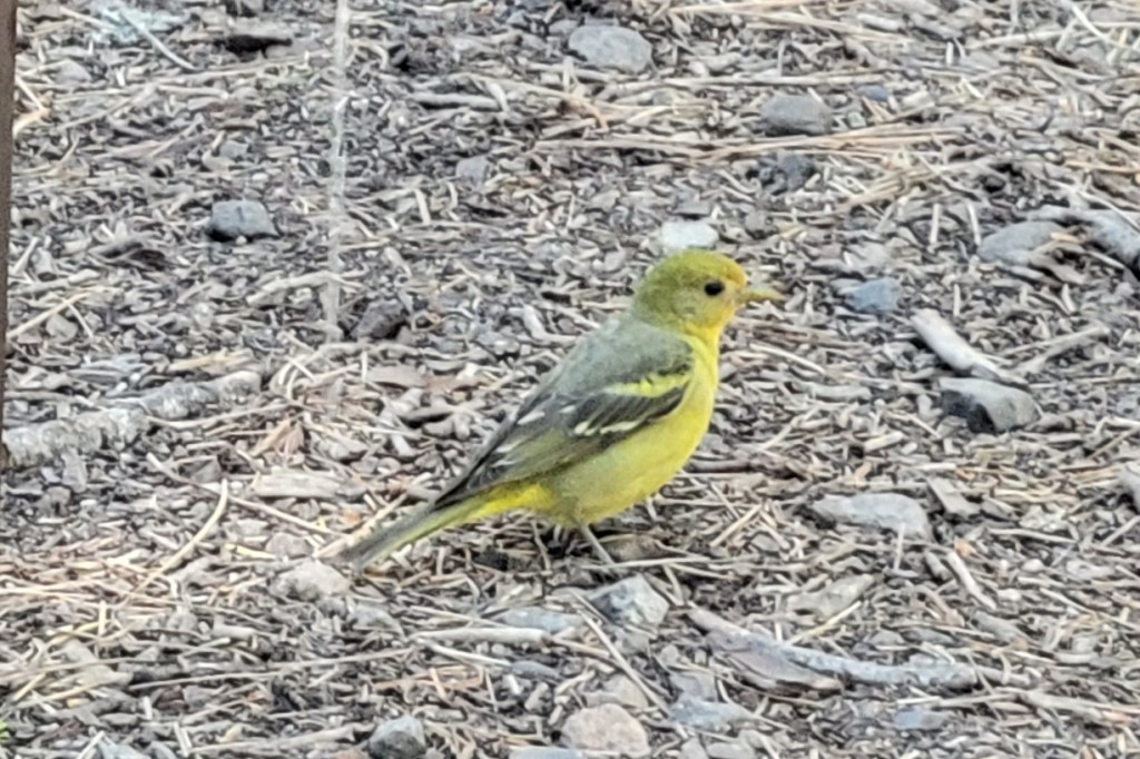
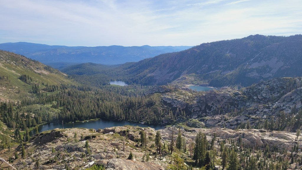
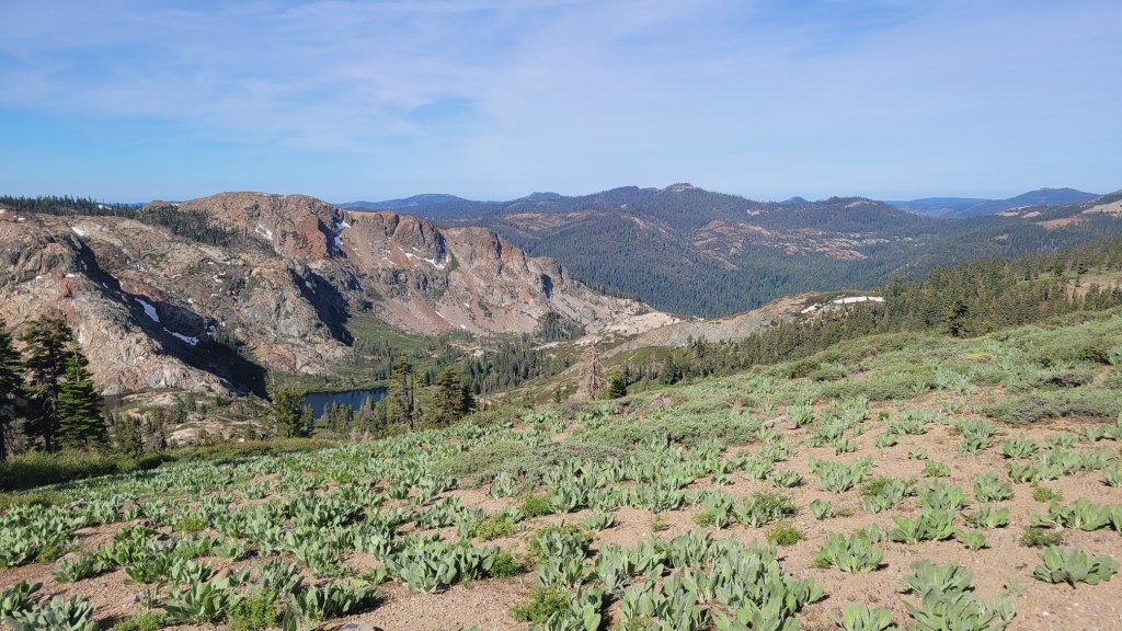
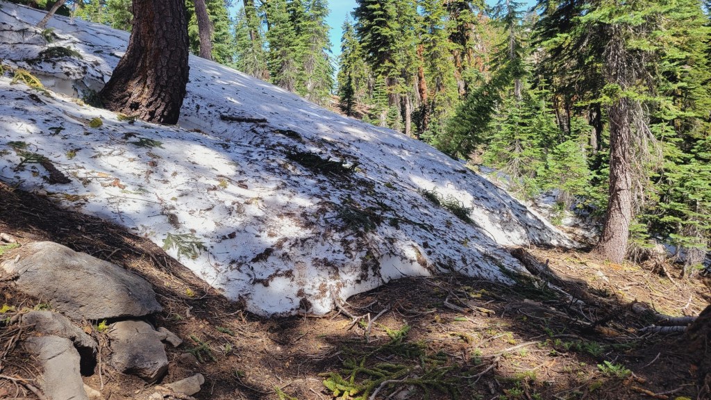
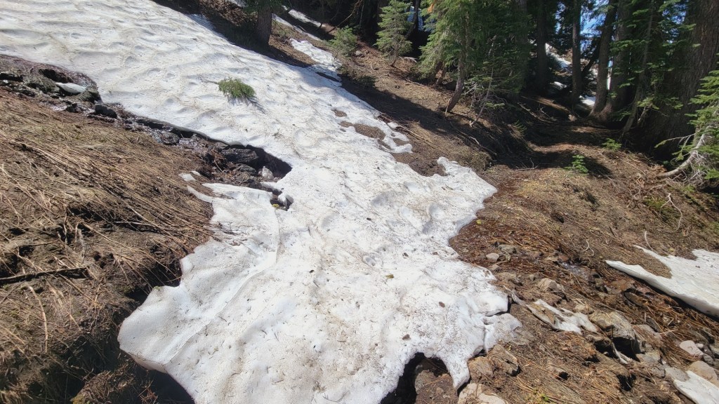
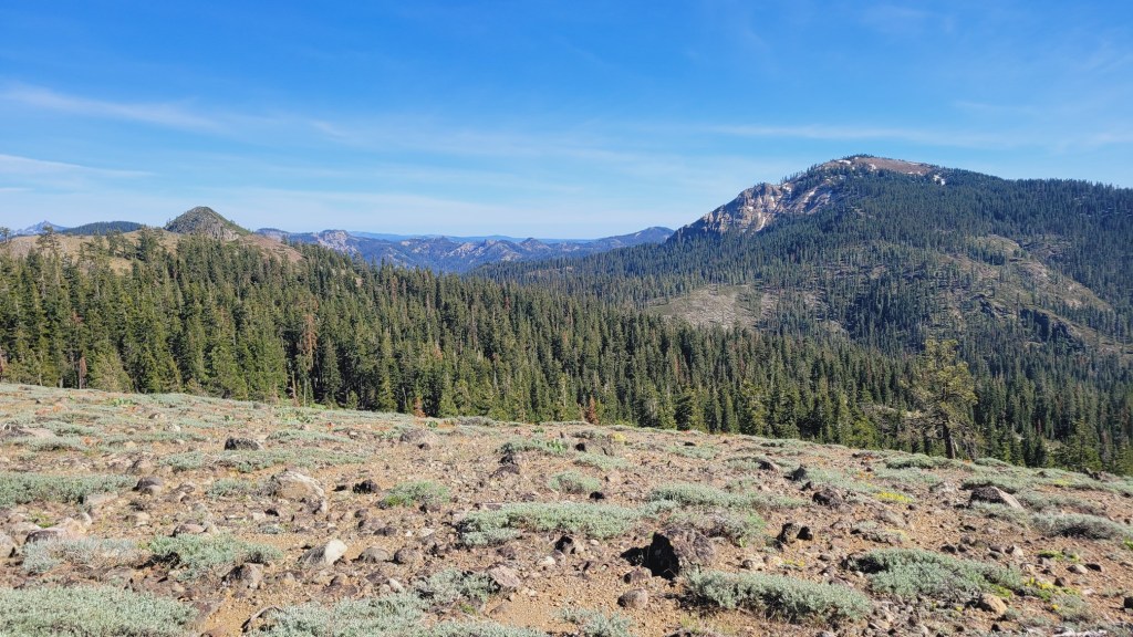
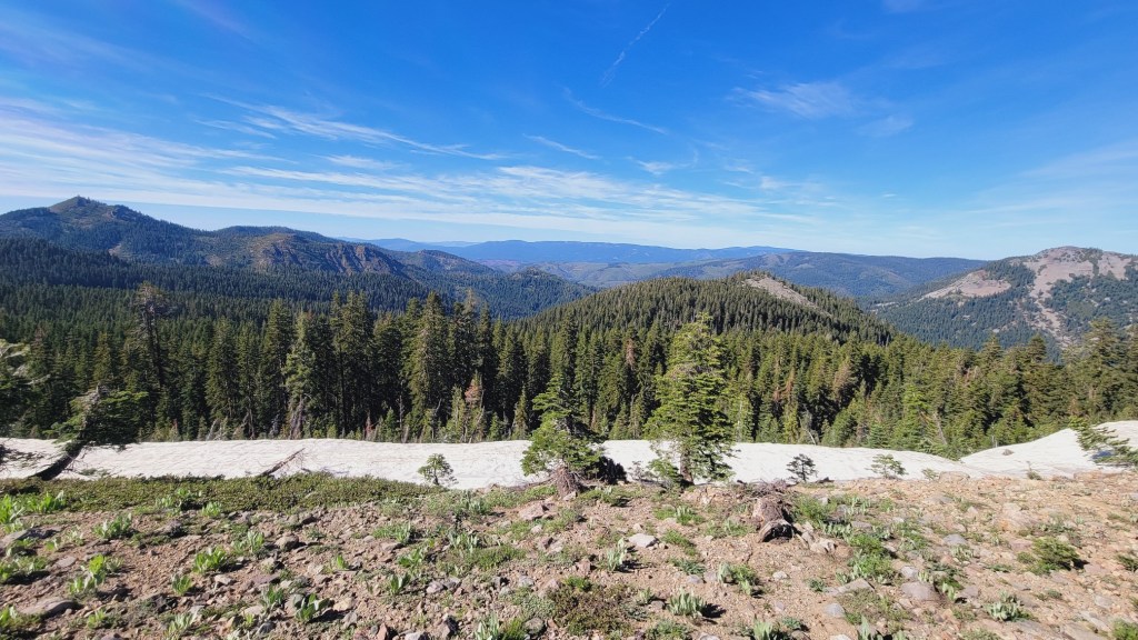
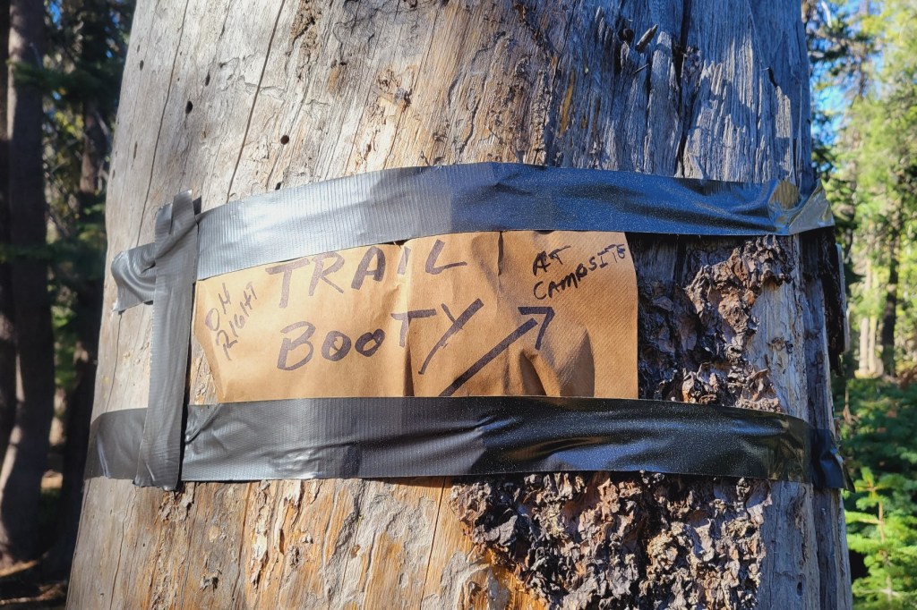
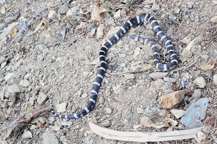
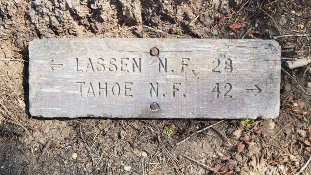
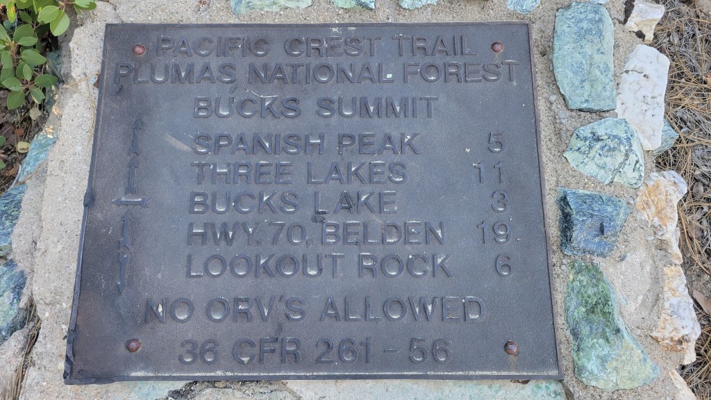
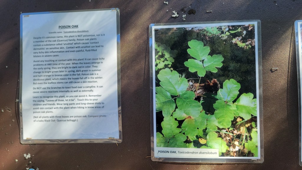
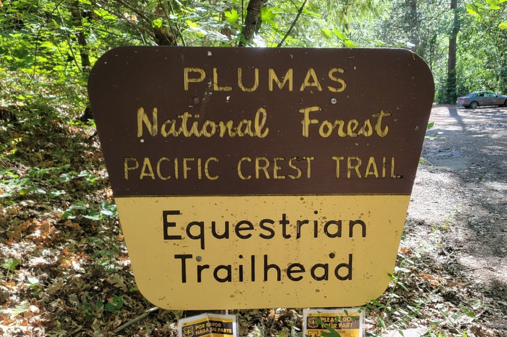
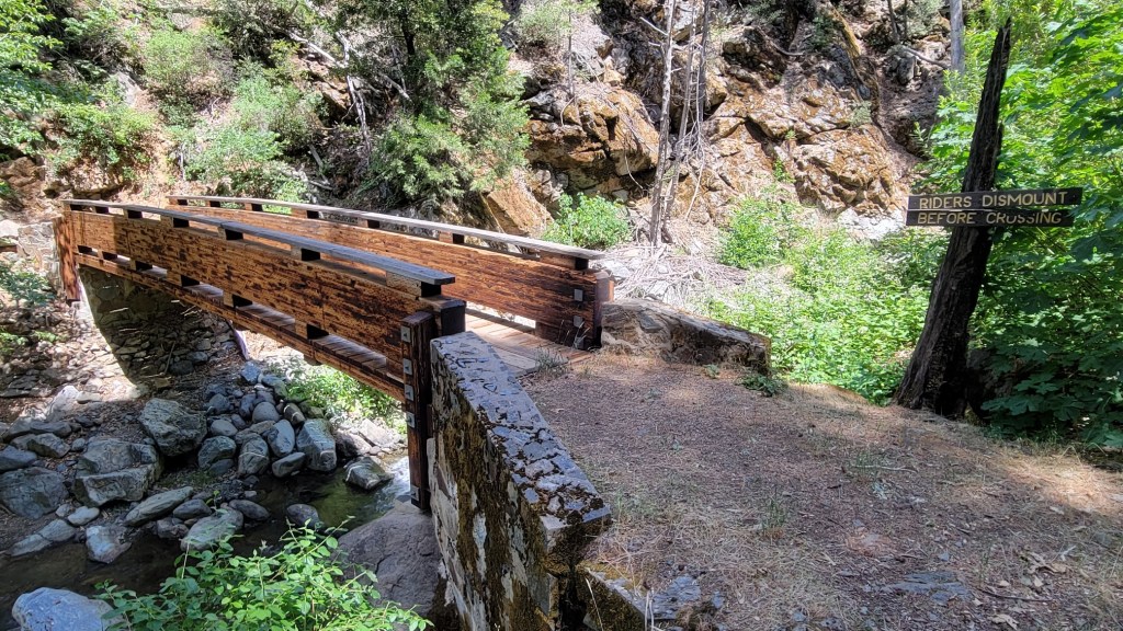
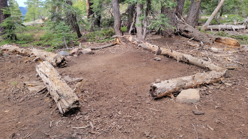
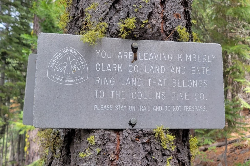
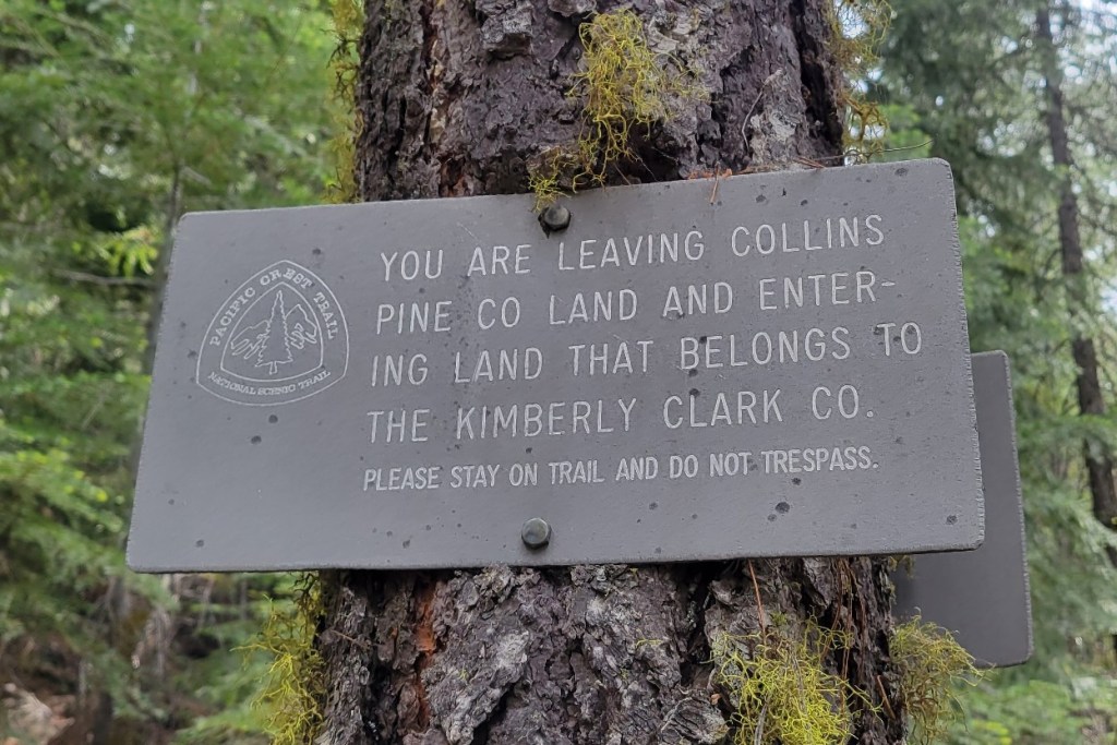
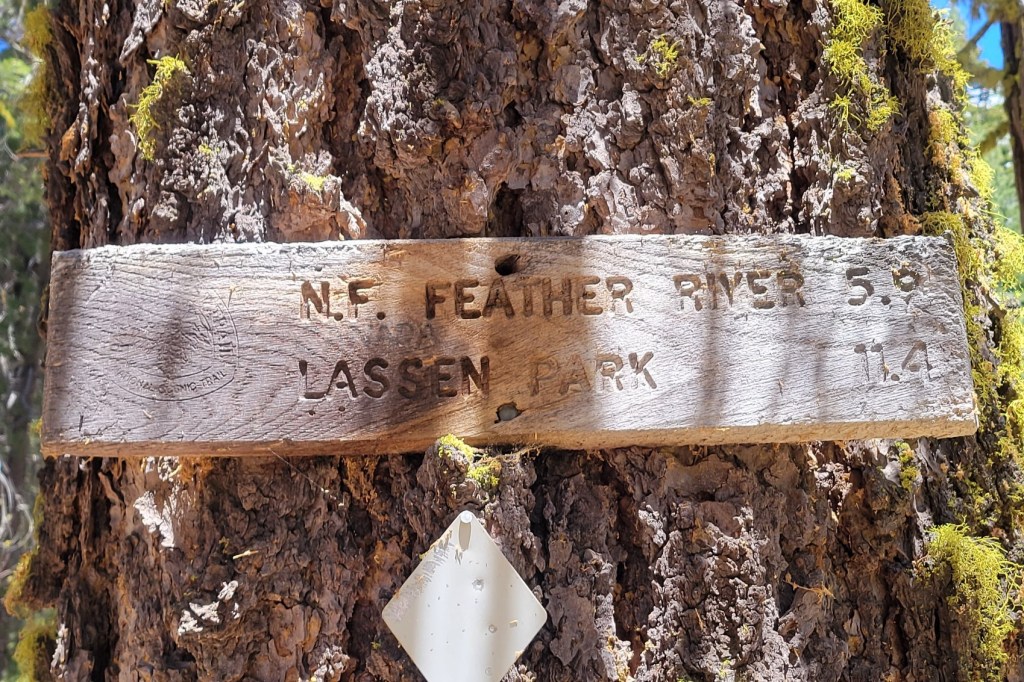
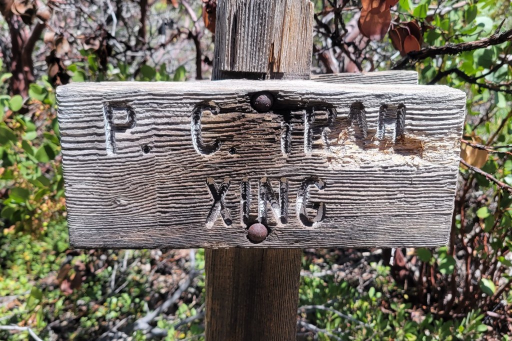
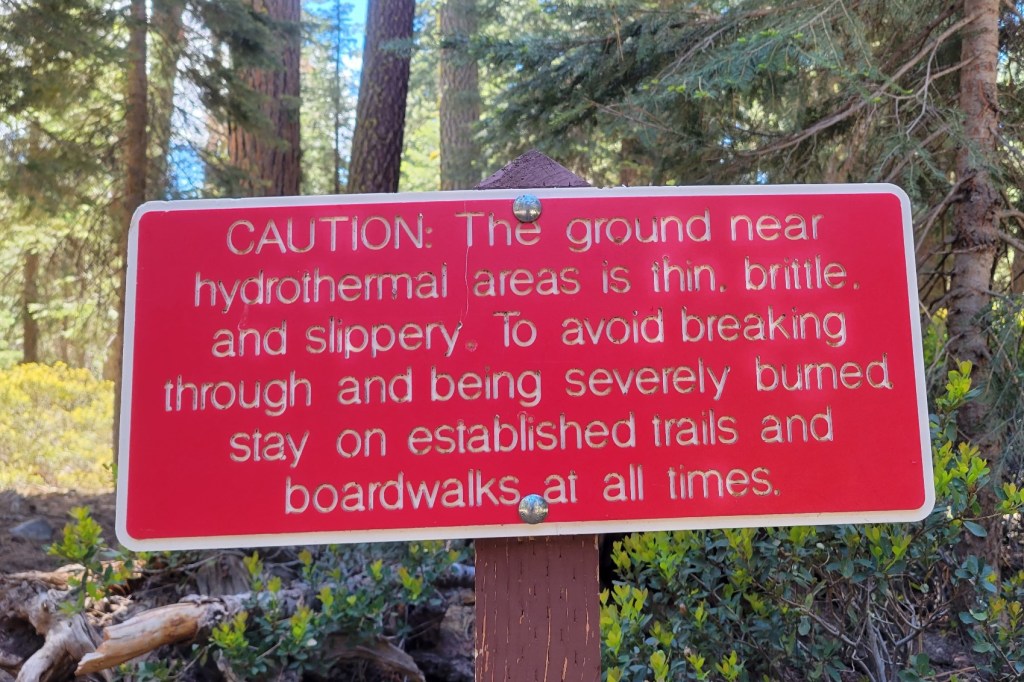
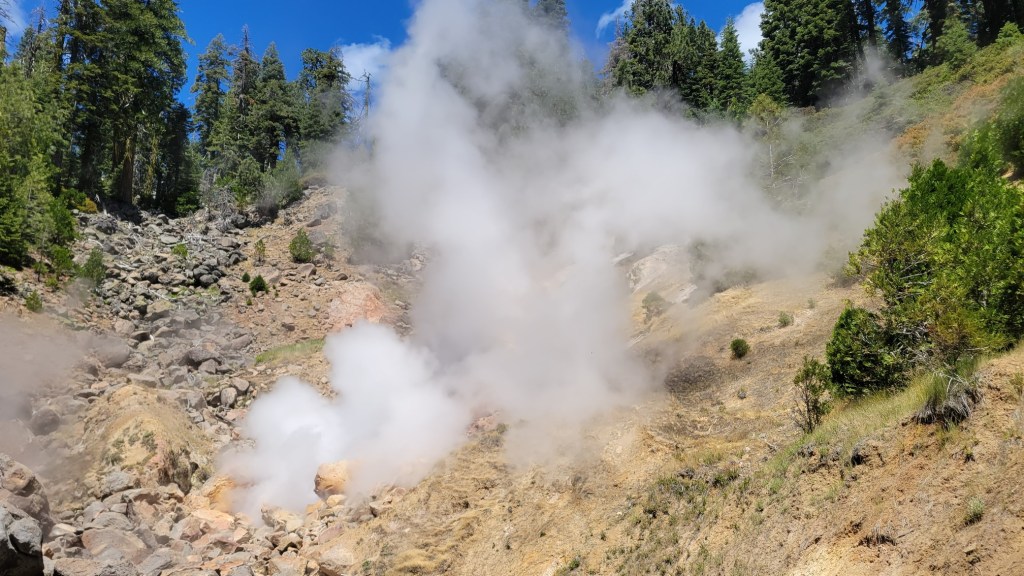
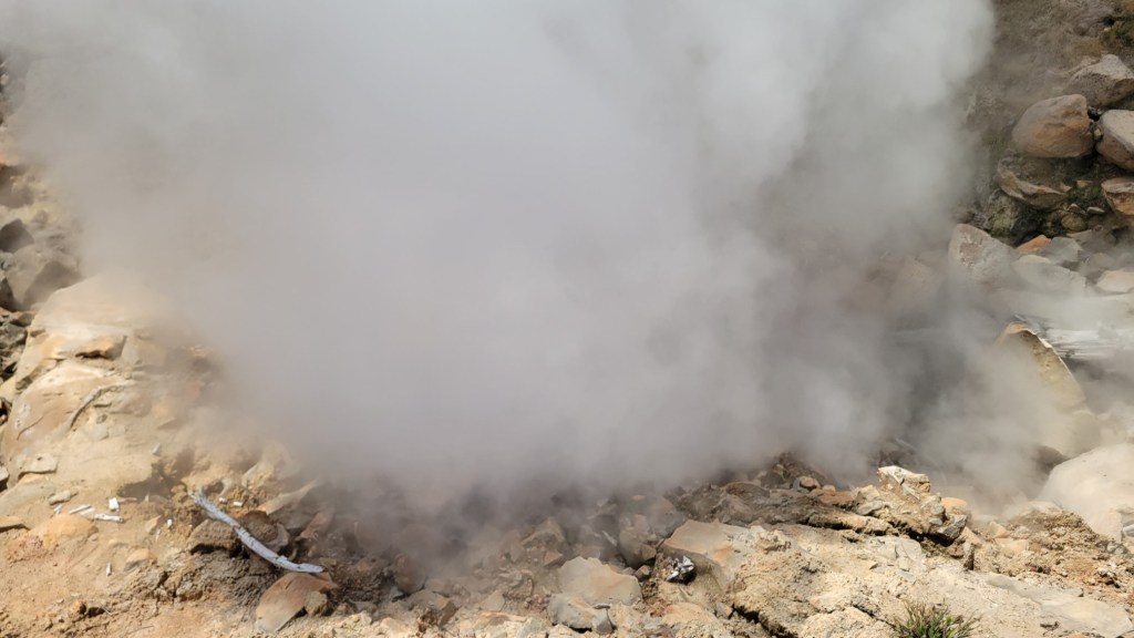
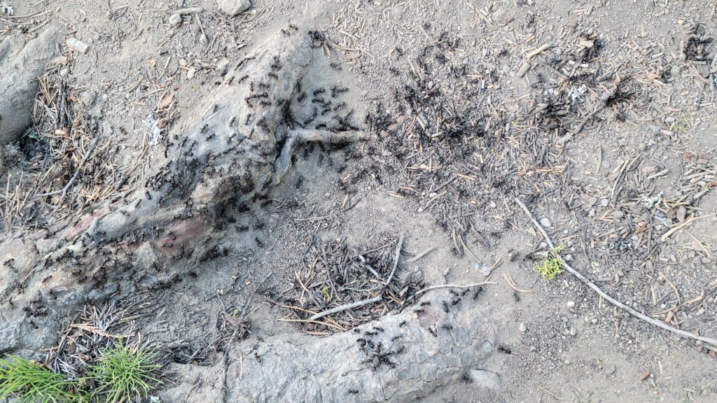
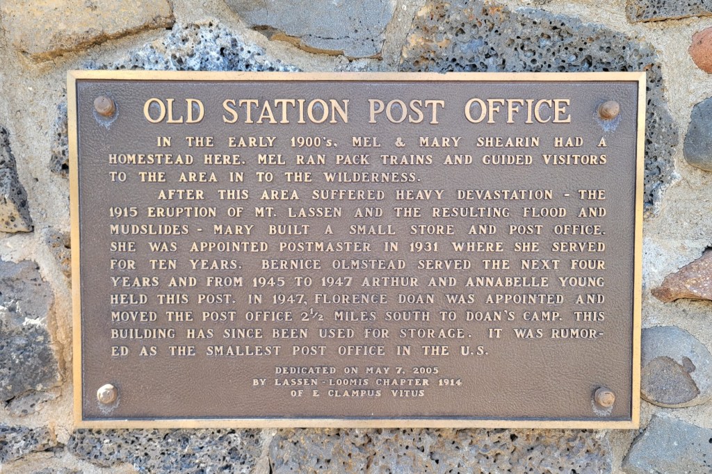
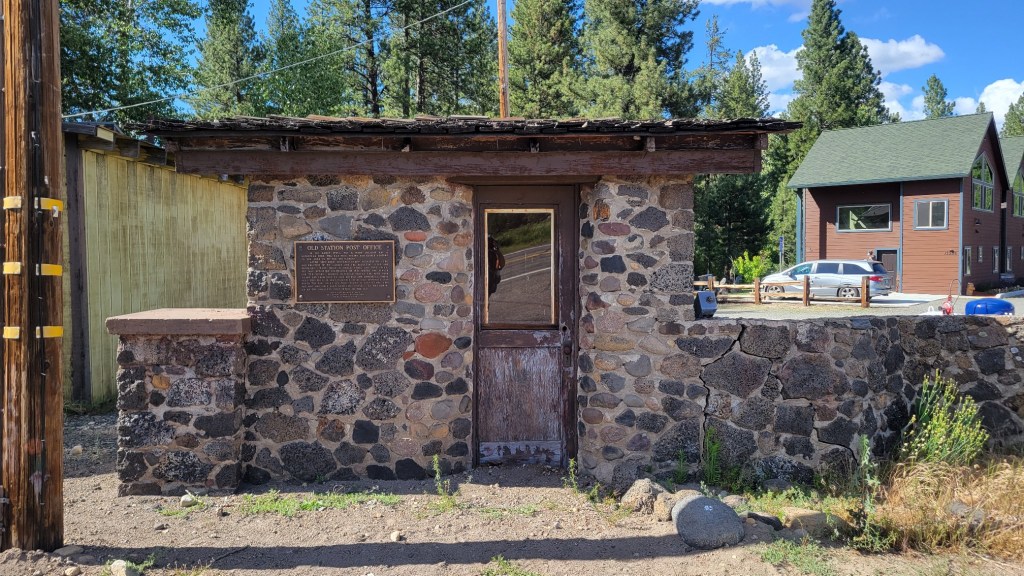
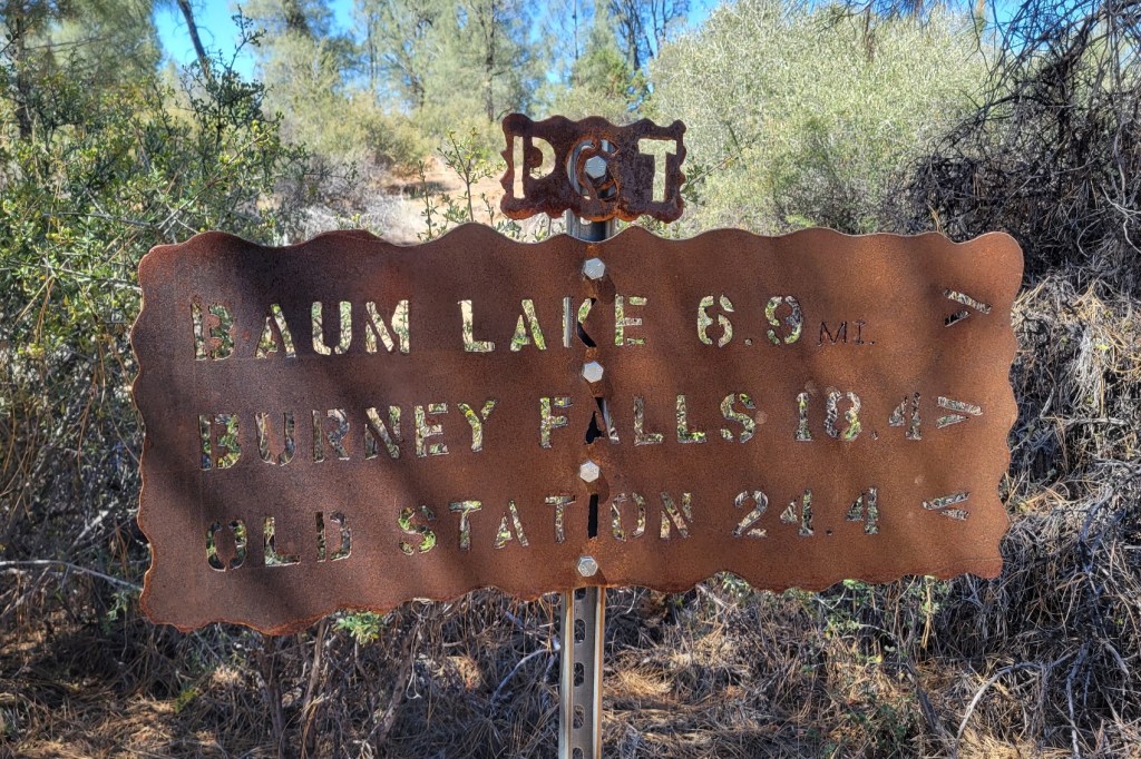
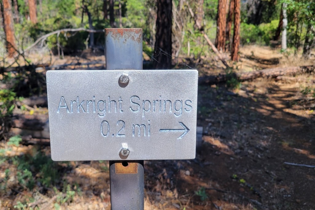
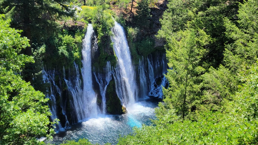
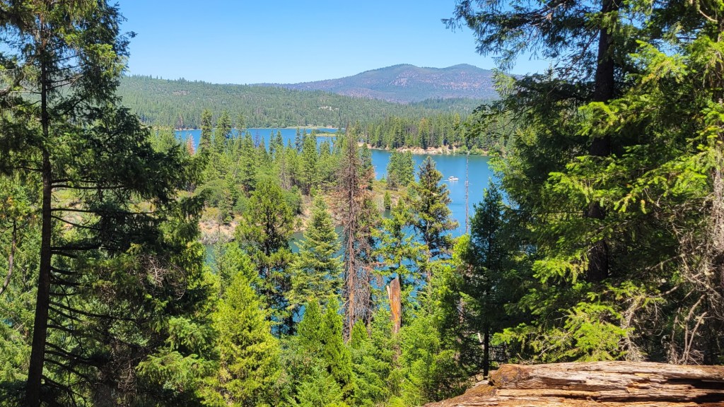
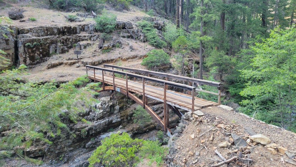
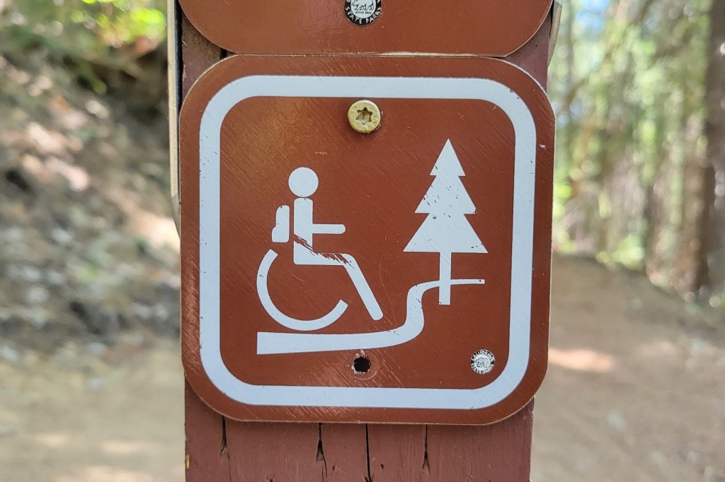
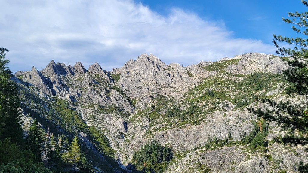
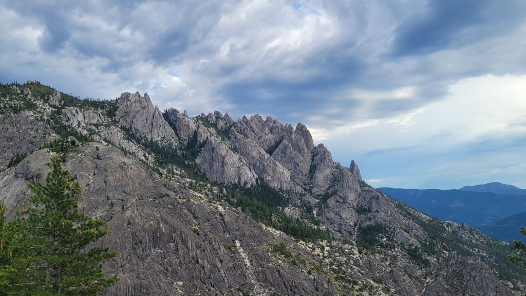
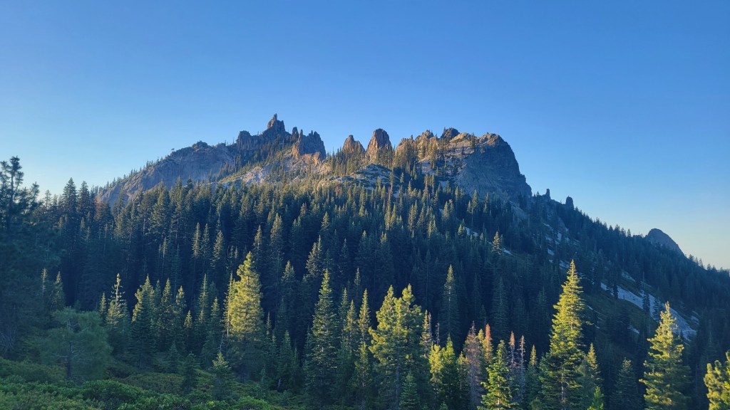
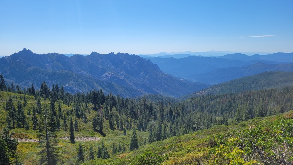
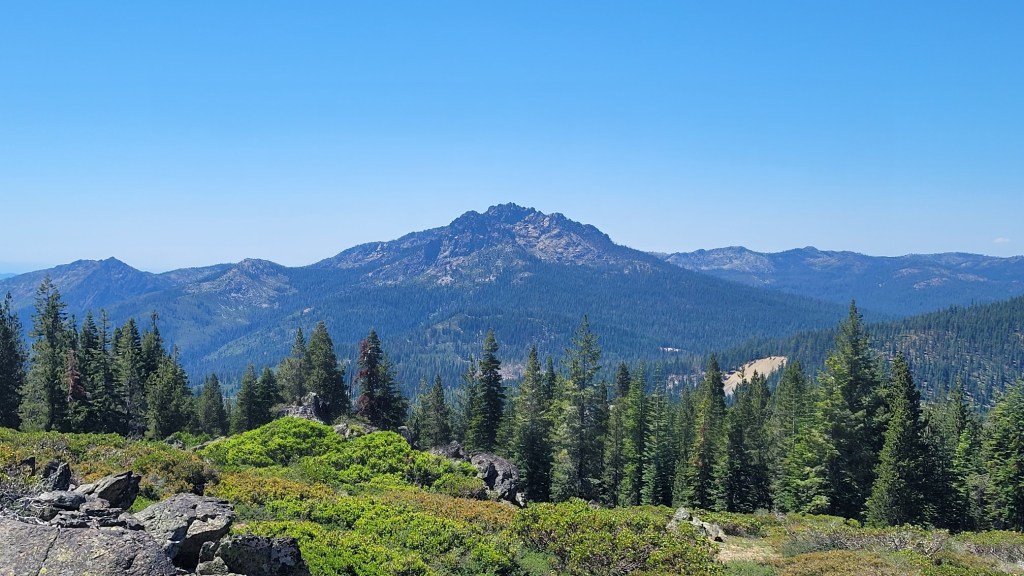
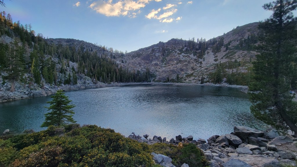
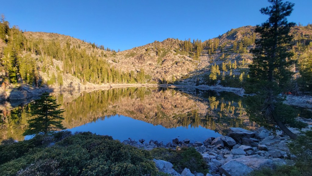
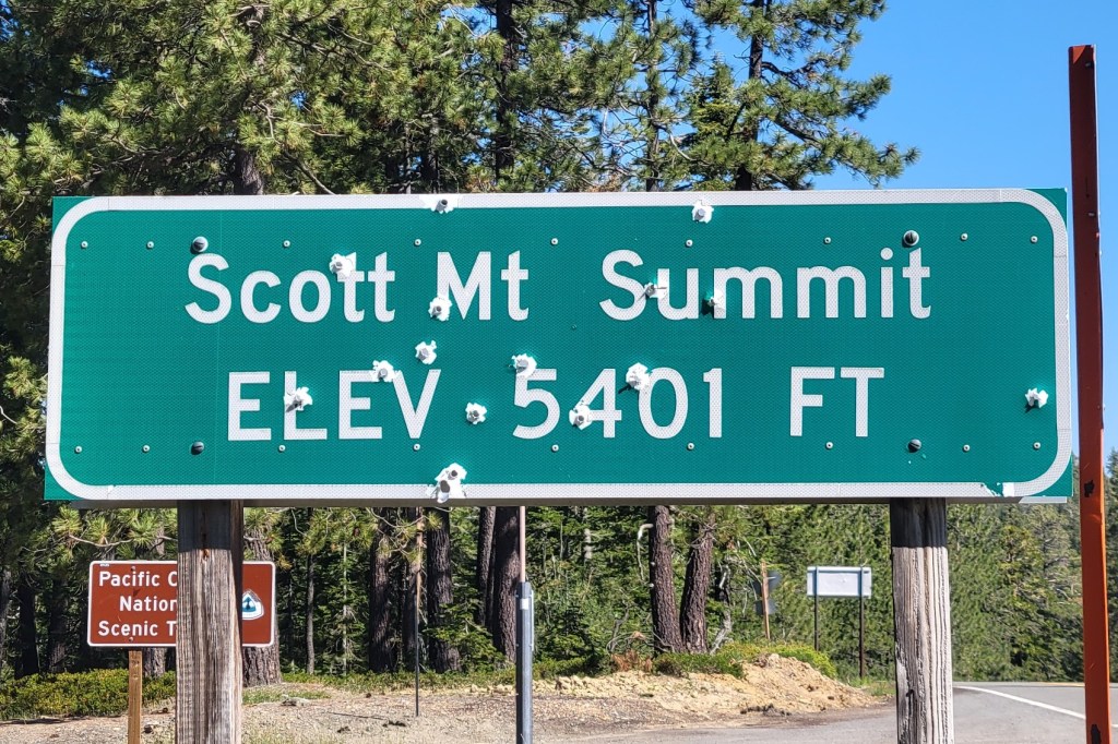
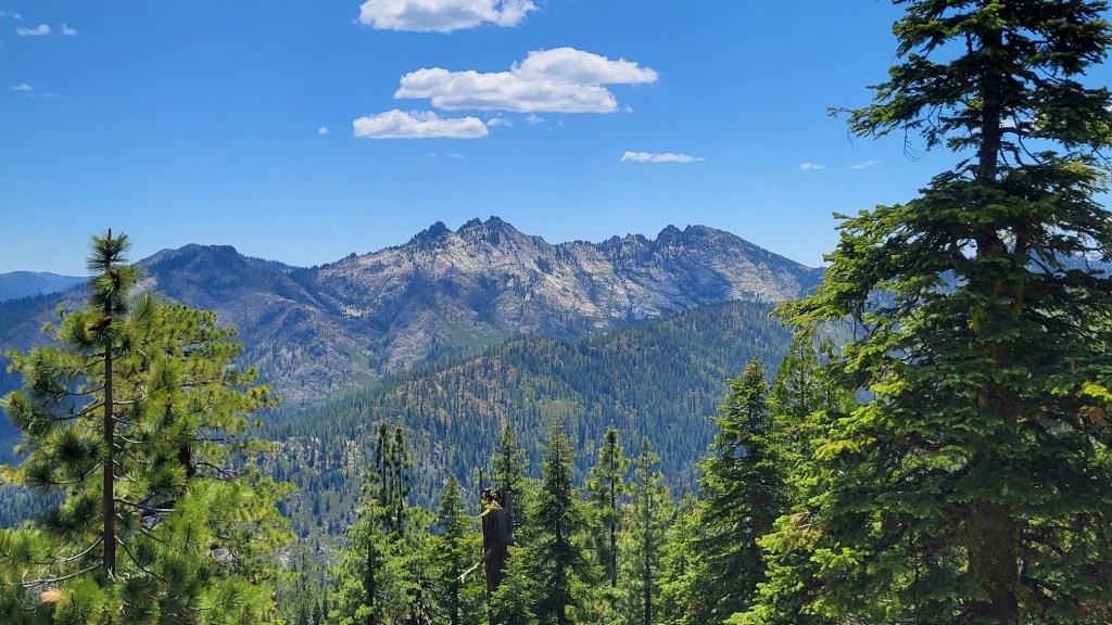
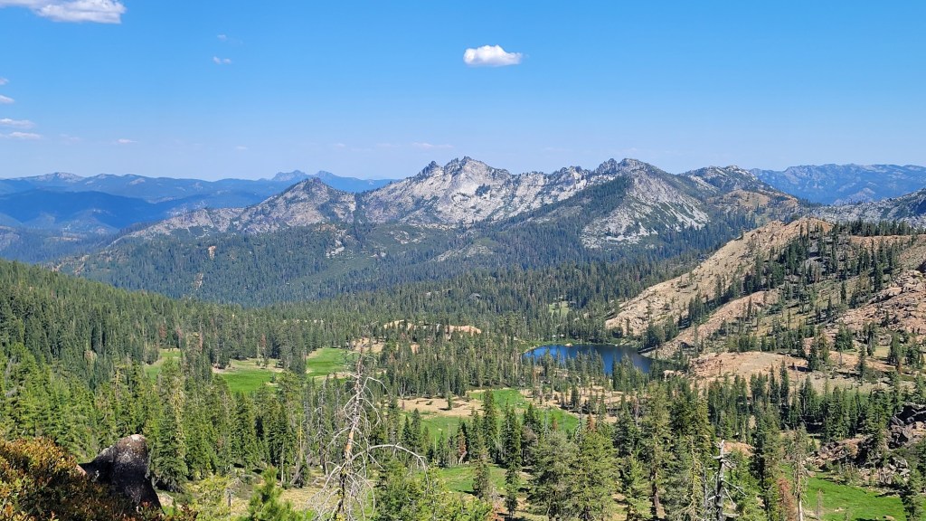
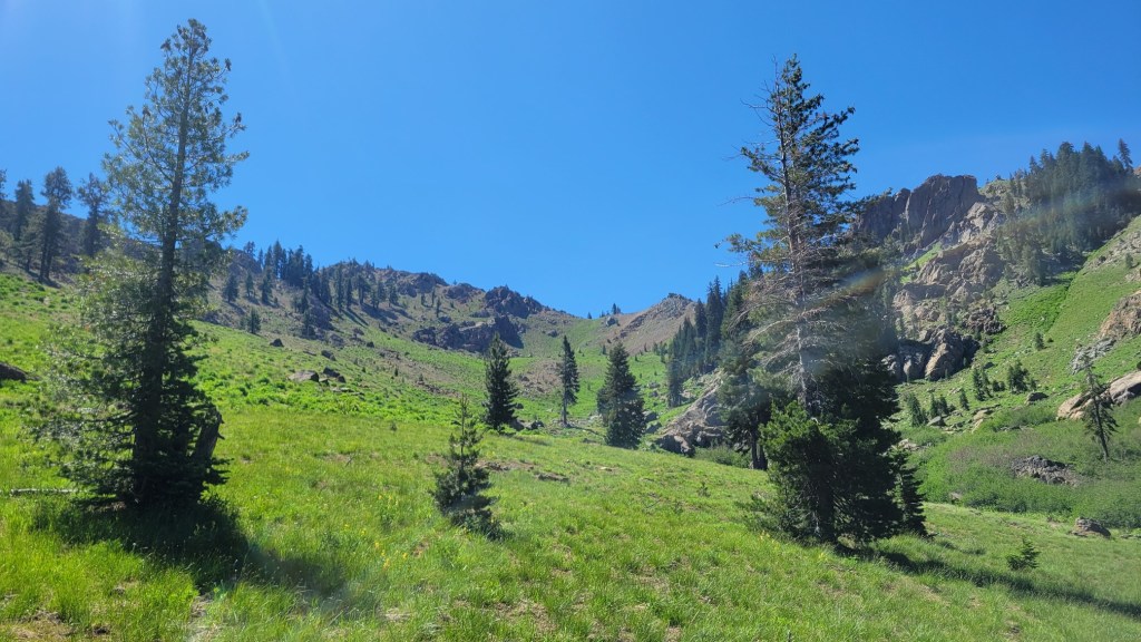
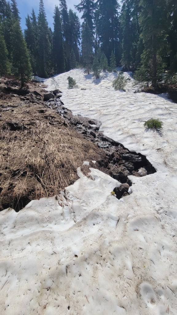
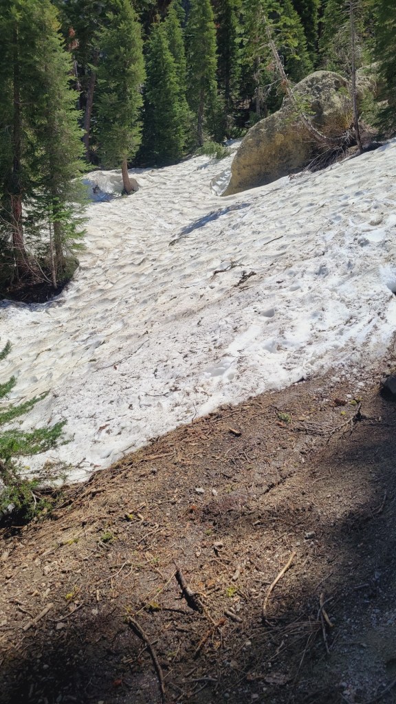
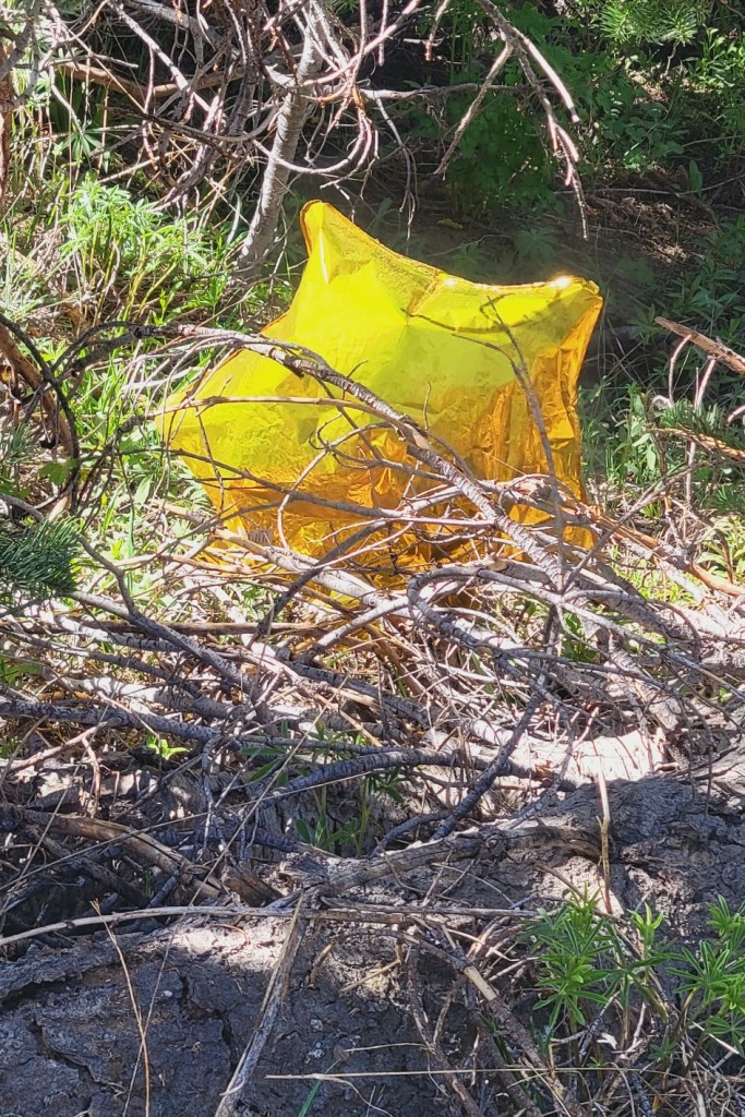
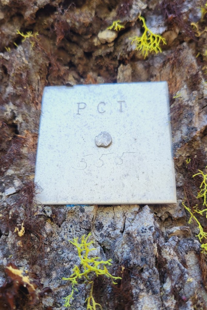
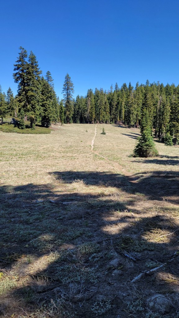
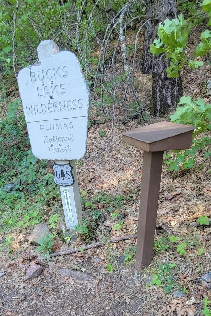
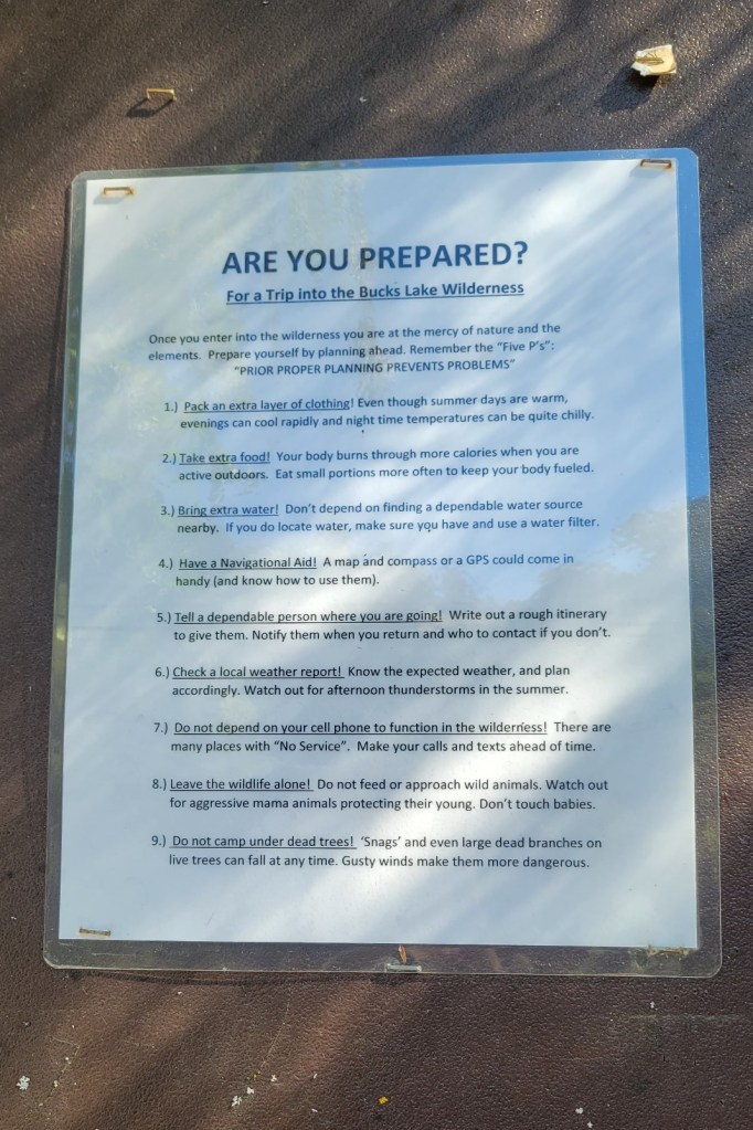
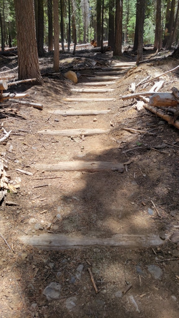
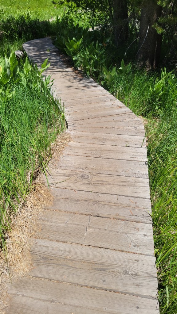
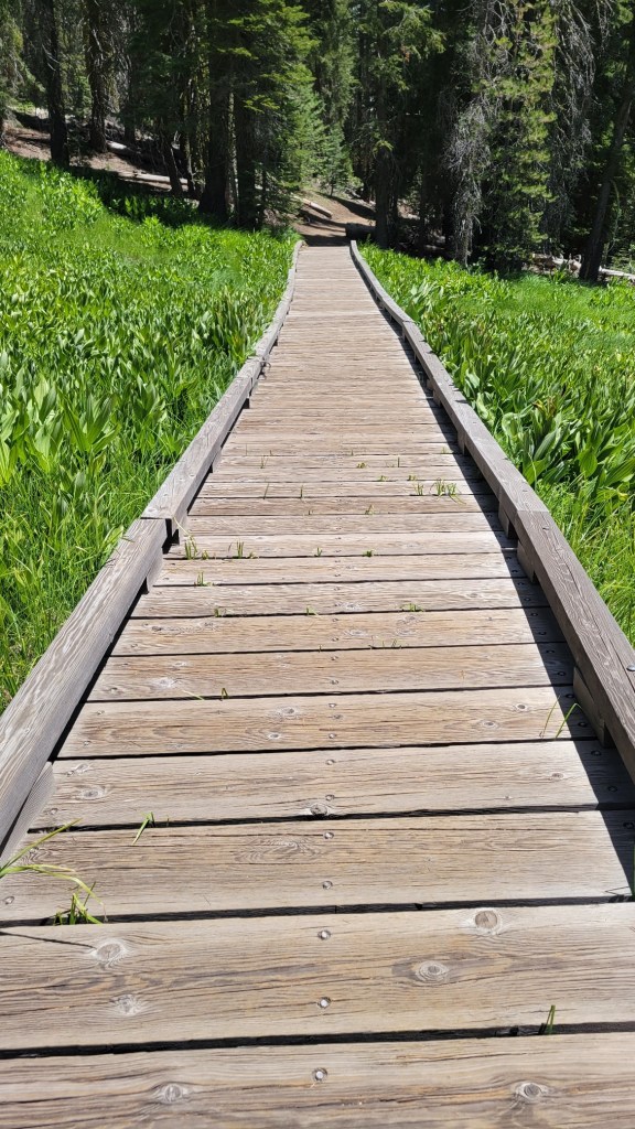
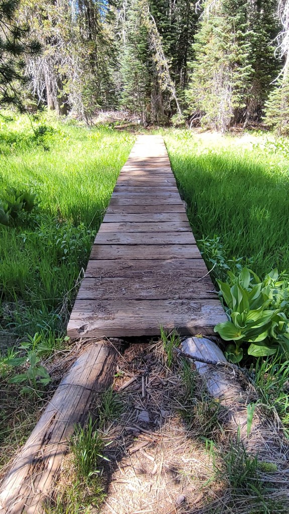
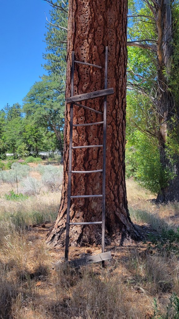
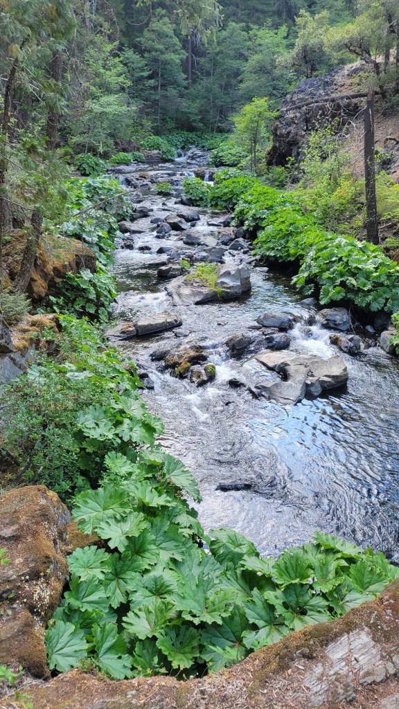
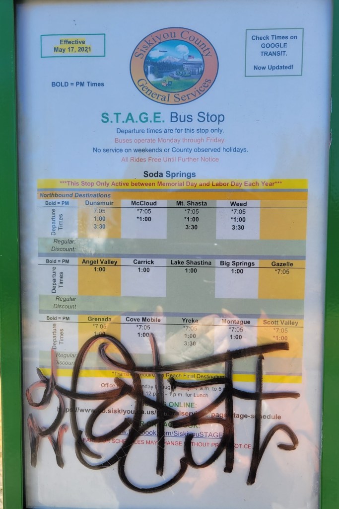
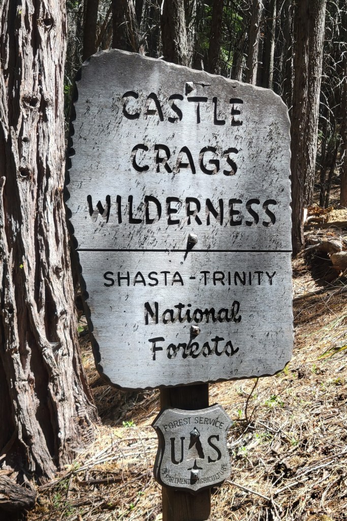
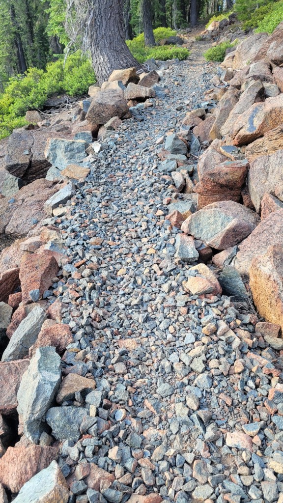
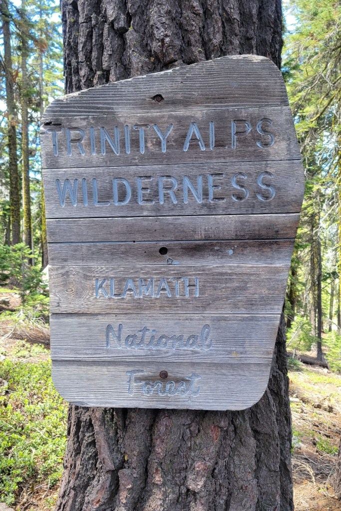
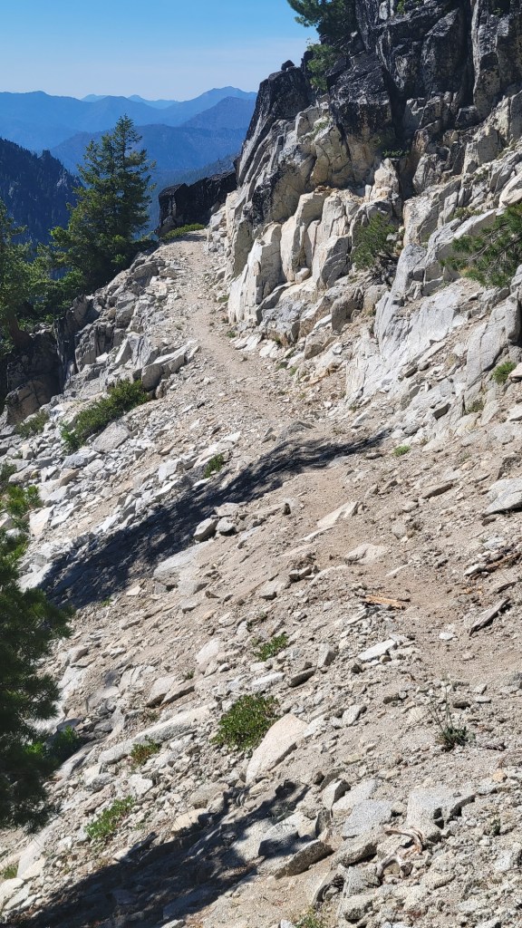
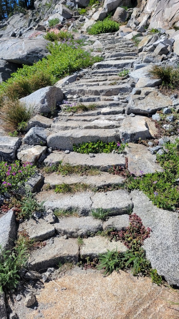
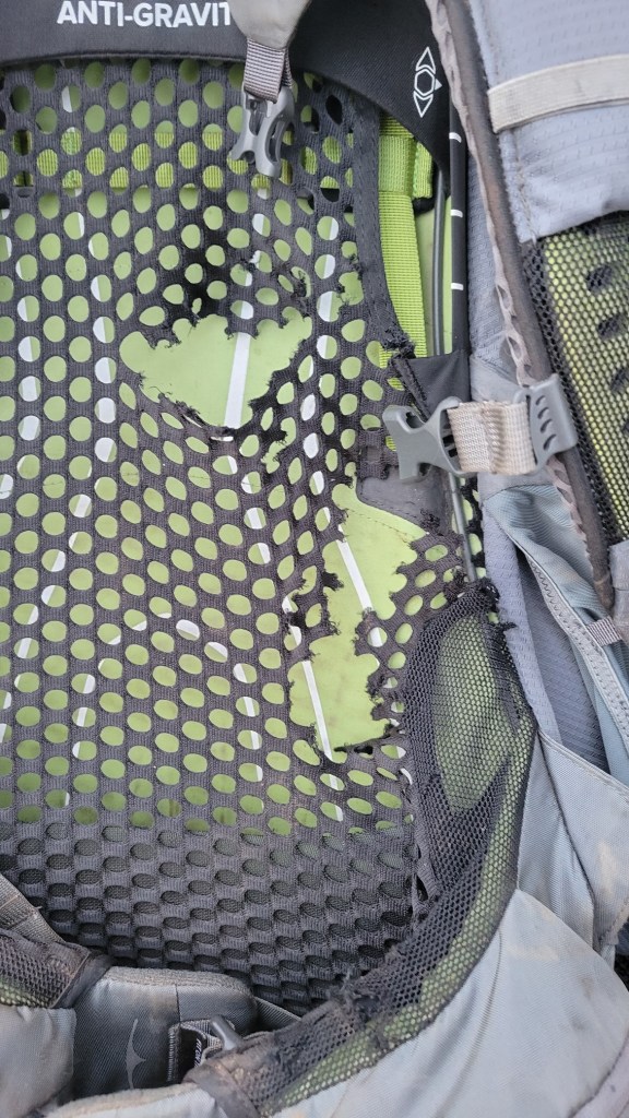
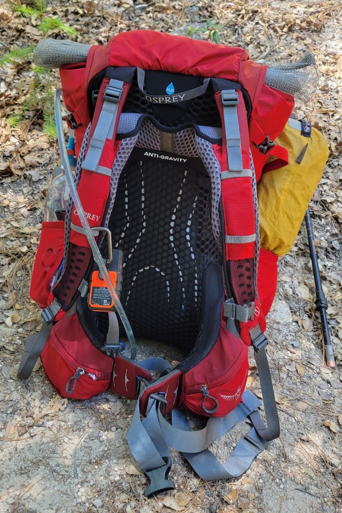
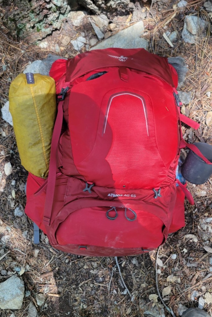
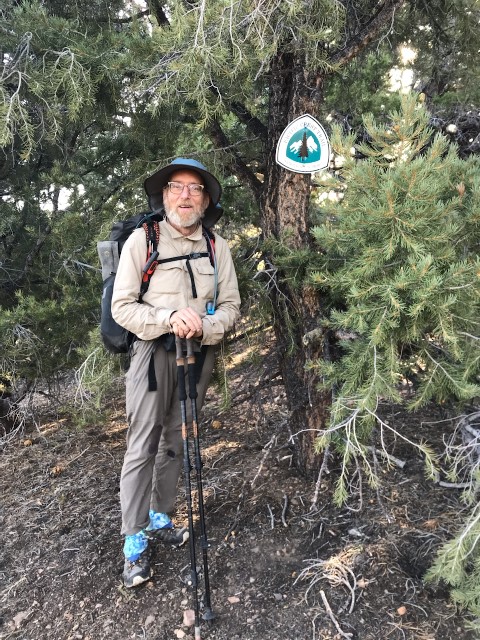
Campsite with a sunset viewAfter dry So Cal, it was interesting to see moss.Snow on and near the trail in Plumas National ForestAn old sign. No booty for me.Burn zone from fire last year in Plumas National ForestBridge over fork of the Feather RiverView from bridgeKing snakeI haven’t seen a mountain lion, but I have seen an elephant.Table rockPoison oak, my nemesis. I’m very allergic, so I wear long pants all the time.Footbridge over creekSubtract 500 miles to get the distance I’ve hiked.CampsiteScrewed up the hyphenation Screwed up the hyphenation Finally got it rightLet’s hear it for big breakfastsBurpCable probably used during lumberingAntsAnother burn zoneBurney MountainAgain, subtract 500 milesBurney FallsLake Britton damLake BrittonFootbridge over creekYes, ADA trailBird no moreViews of Castle CragsThe Trinity AlpsPorcupine Lake at duskPorcupine Lake at dawnMore views of the Trinity AlpsI got off here for a weeklong break. I return on Friday.Snow on the trailI wasn’t invited to the partyActual size = 1.5″ x 1.5″Trail construction in boggy areaMountain meadowPrepared? I hope so.Boardwalk in boggy areaThe different looks of the trailI was not the targetVolcanic rockLadder to nowhereIn places, the PCT gets used as a dumpBus stop on the trail at the I-5 near DunsmuirConstructed trailFido, the sentinelConstructed stepsOld backpack. Thank you, mouse. Not.New backpackYours truly at the start of the Sierra City to Etna trail section. I’m rocking that beard.
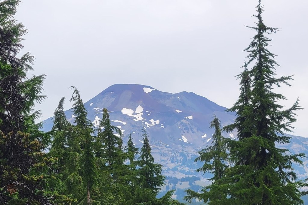
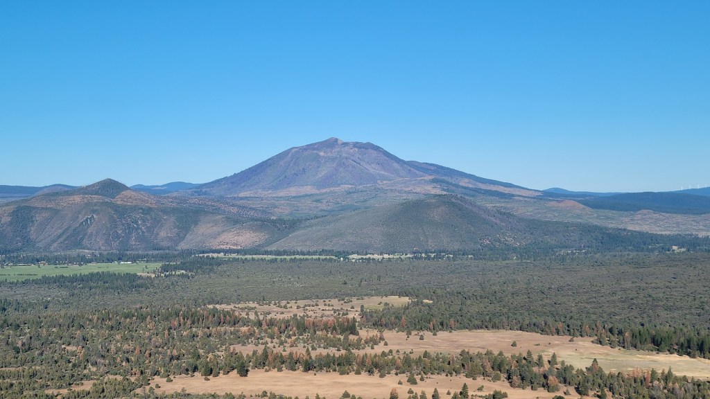
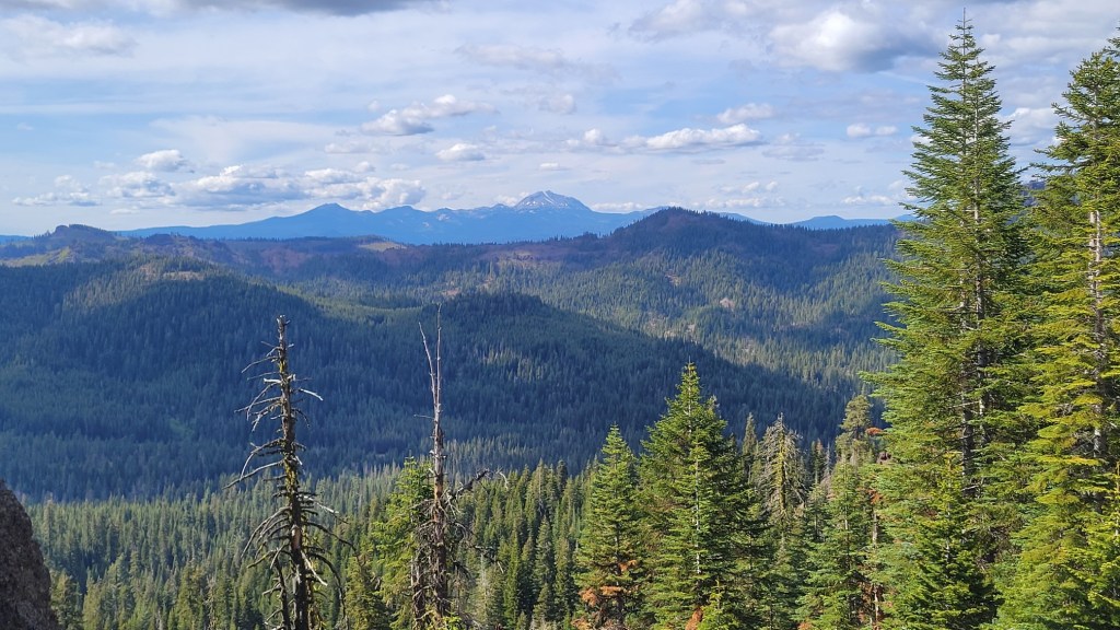
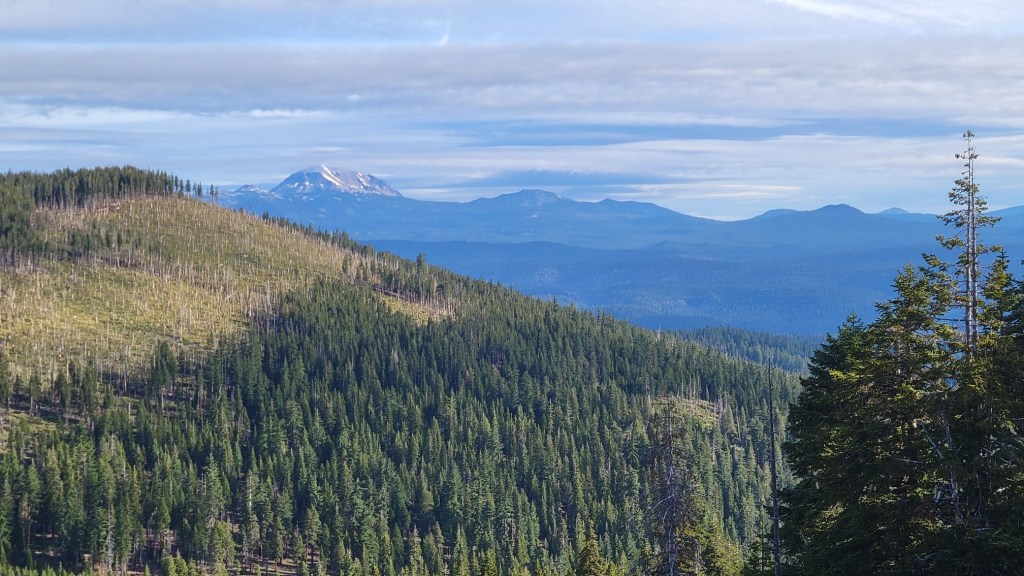
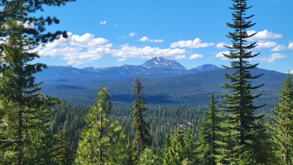
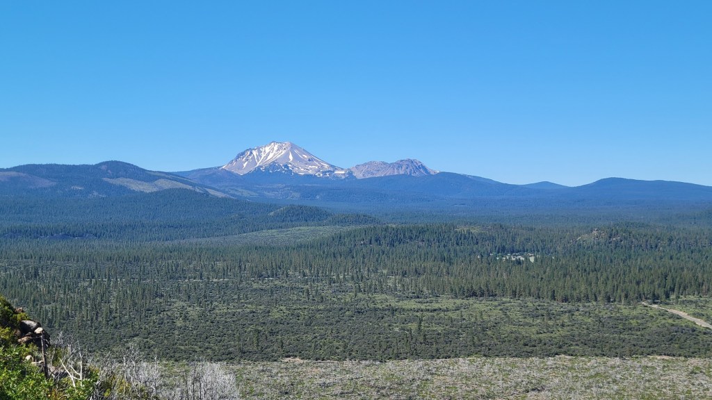
Two currently dormant volcanoes dominate the views in far Northern California — Lassen Peak and Mt. Shasta. Lassen Peak last erupted in 1921. It’s not certain when Mt. Shasta last erupted. Some say 1786, some say 1250, but most believe it was probably 3000 years ago.
Here are views I had of Lassen on my hike. They are ordered by date and time from June 10th to June 15th.
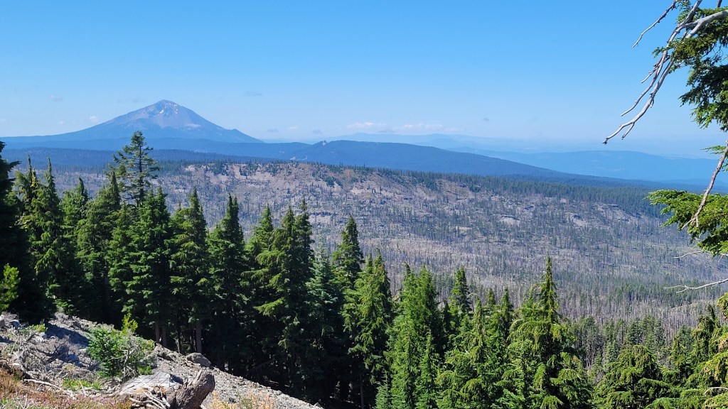
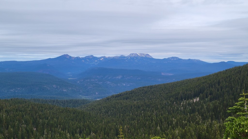
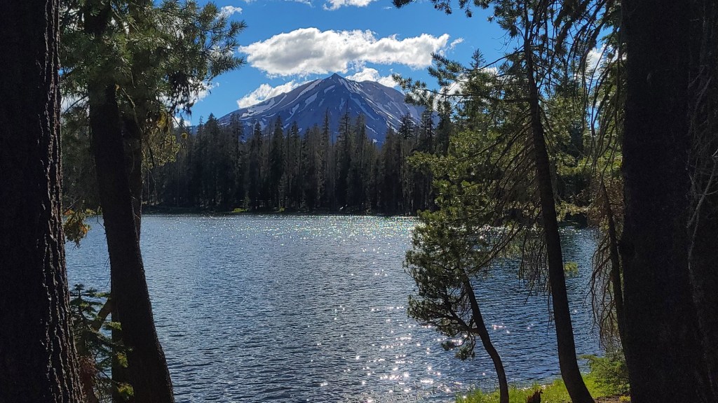
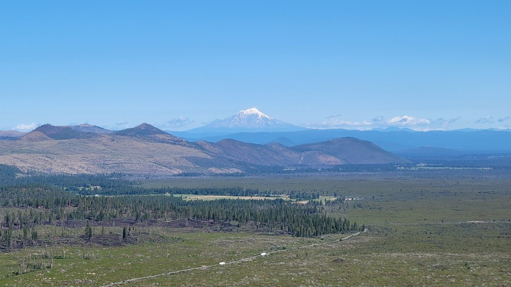
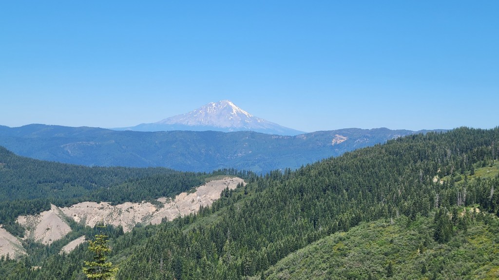
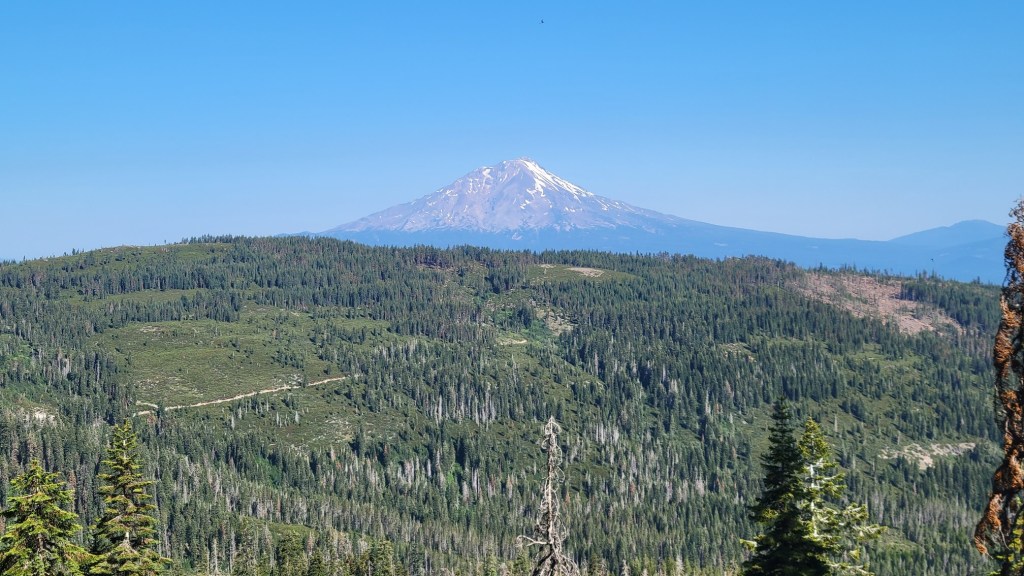
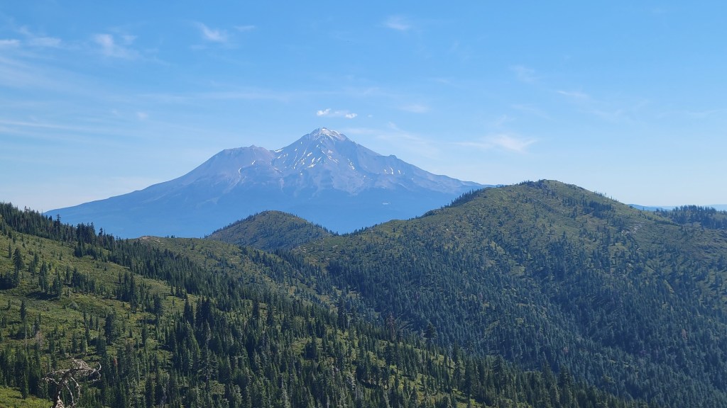
And here are views I have had of Mt. Shasta, ordered by date and time from June 15th to June 29th.
Less snow because I am looking at a different face of the mountain than before.
I will have additional views of Shasta when I return to the trail in a day or two.