c) Andrew Carter, 2021
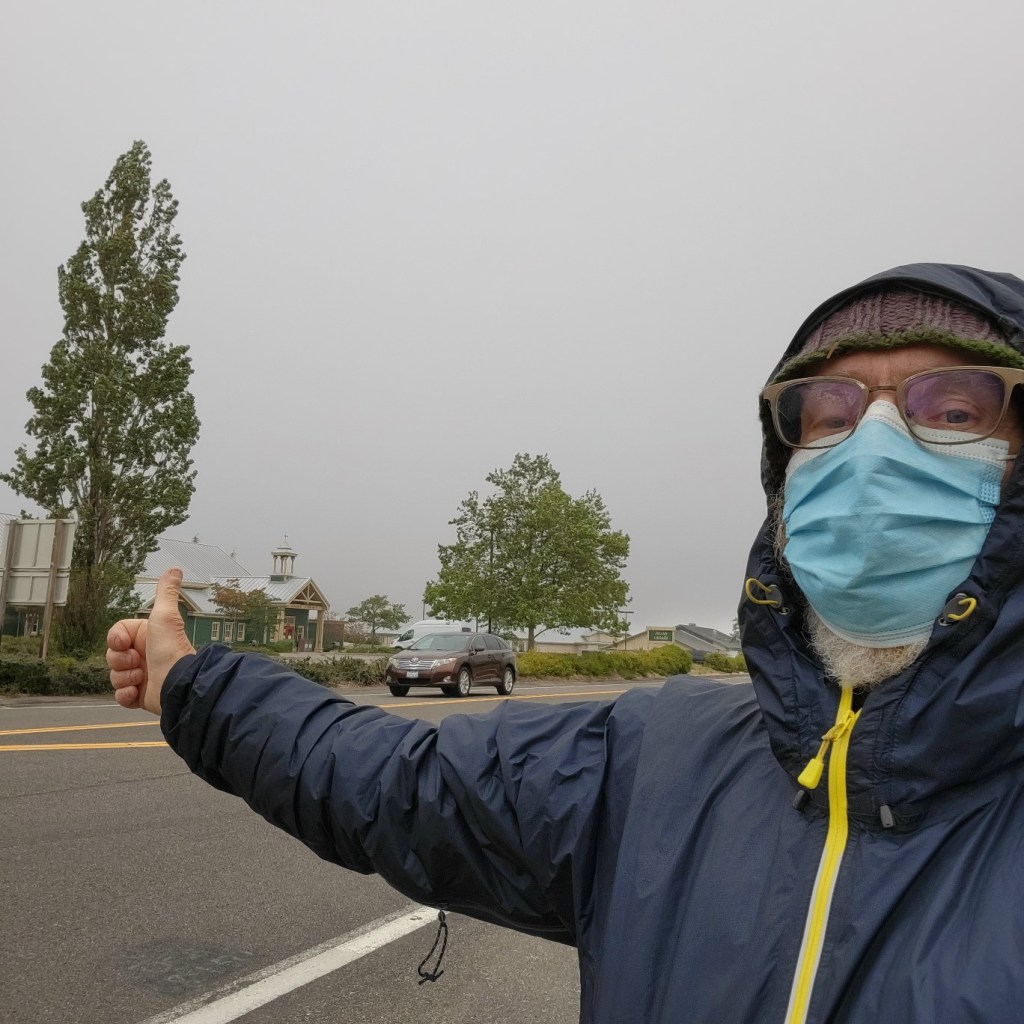
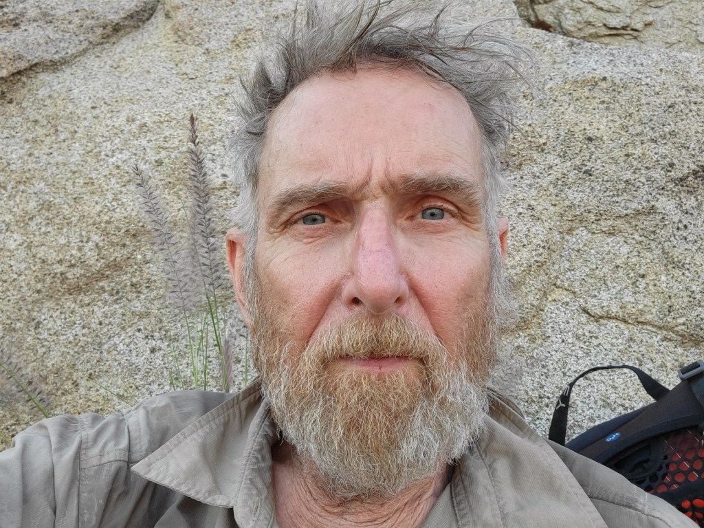
Some selfies from the first 650 miles.

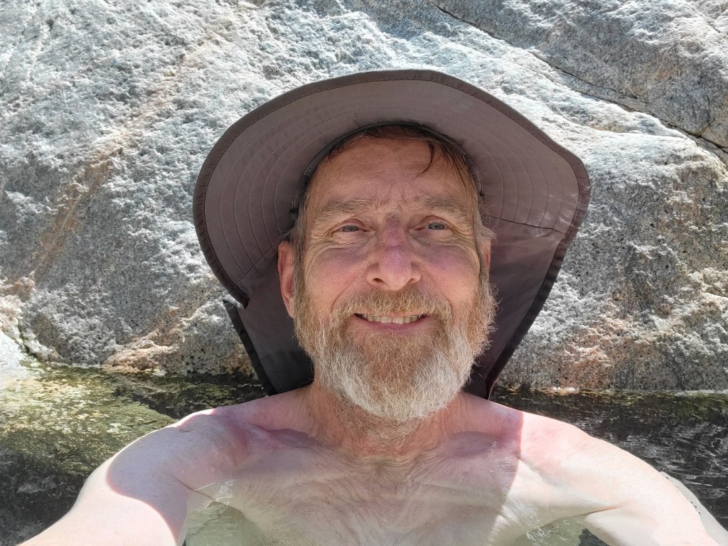

in the hot sun.
c) Andrew Carter, 2021
Some selfies from the first 650 miles.
c) Andrew Carter, 2021
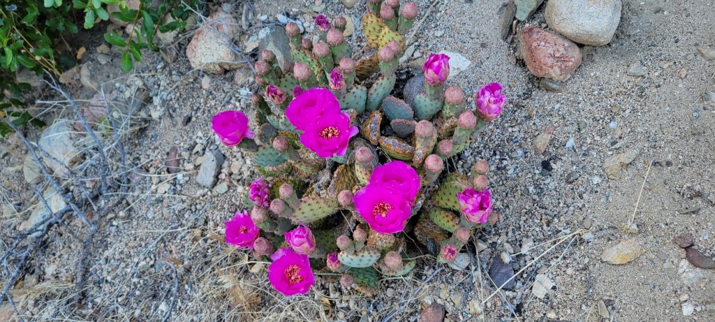
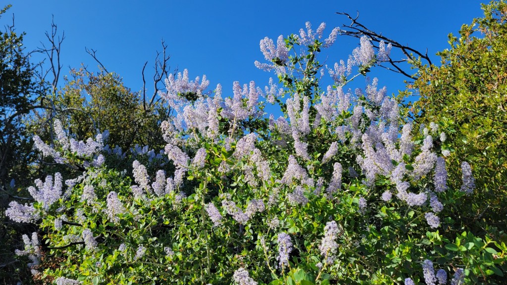
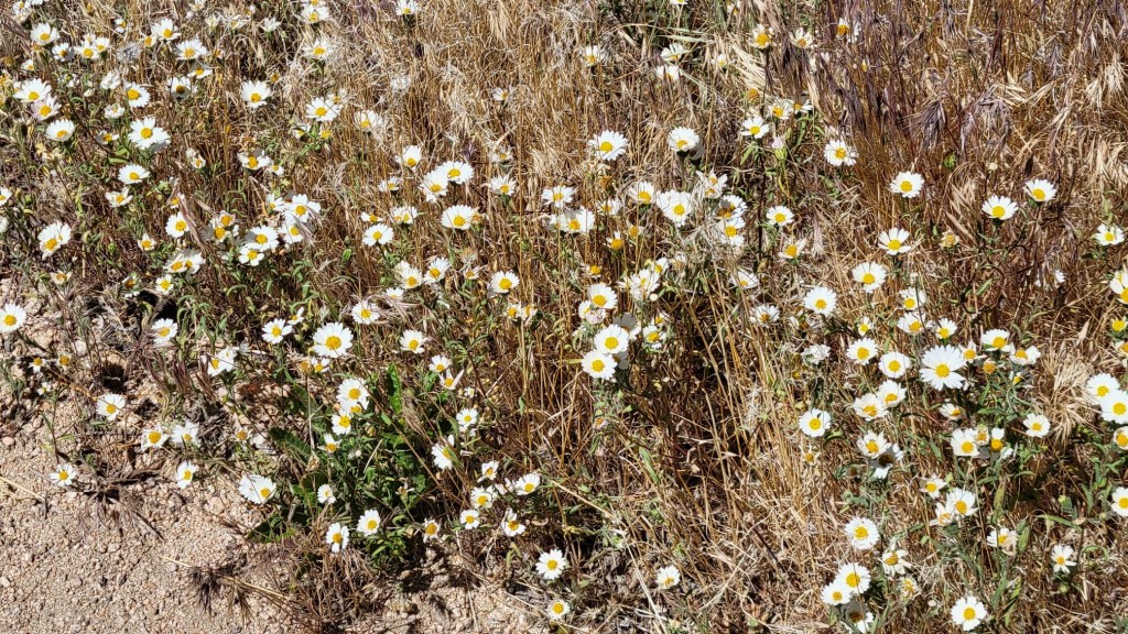
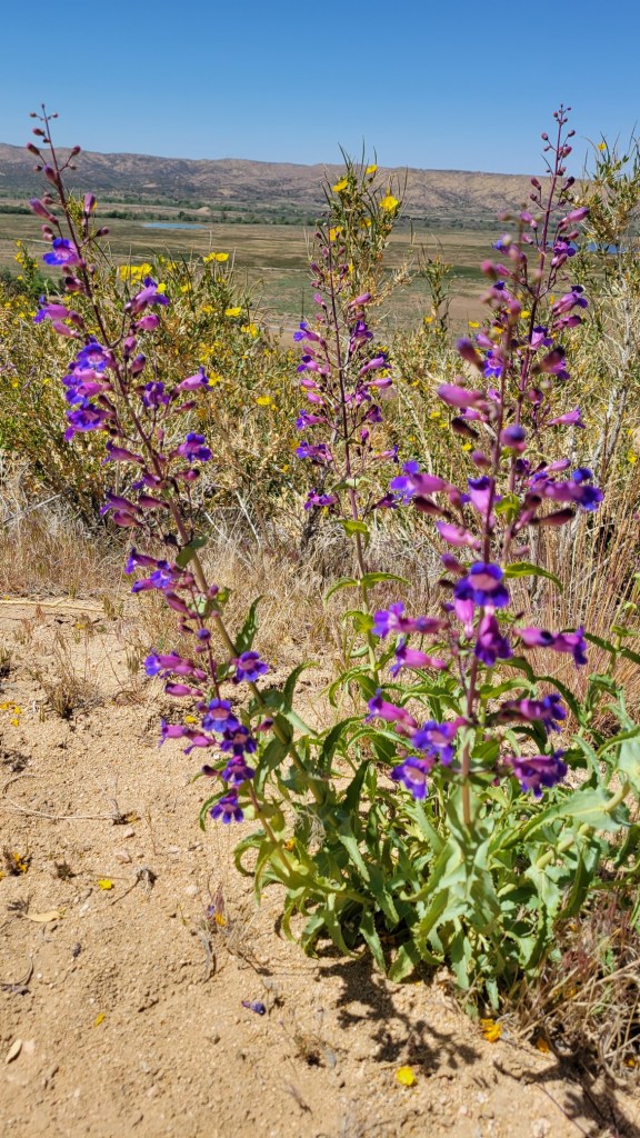
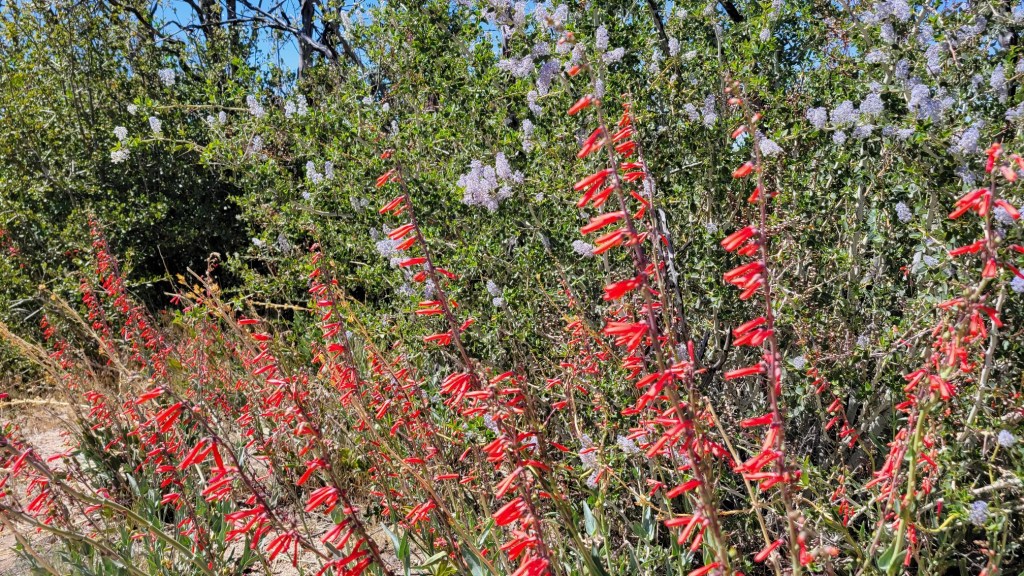
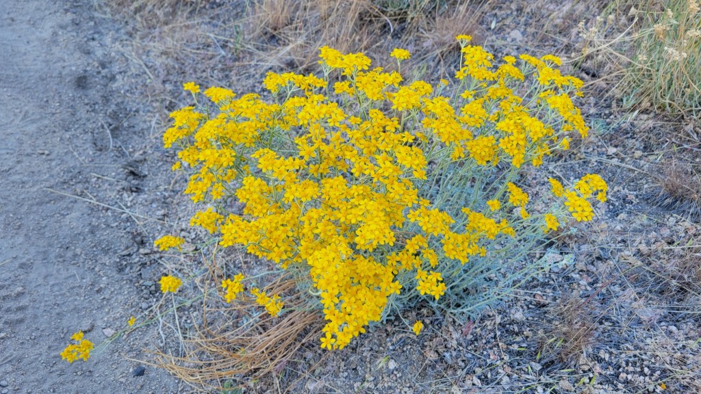
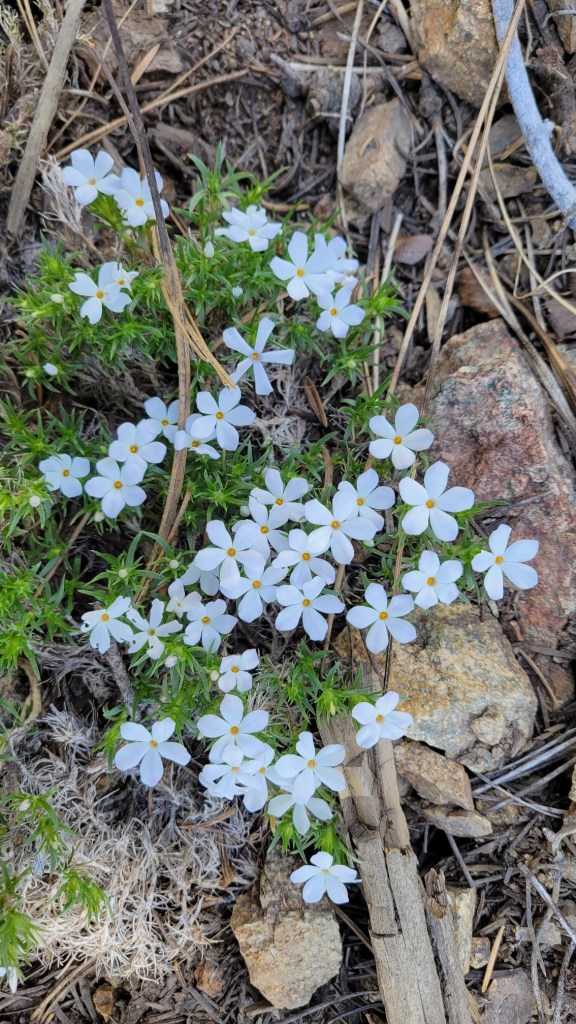
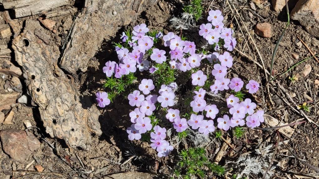
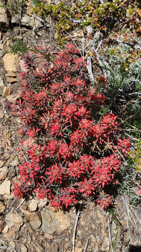
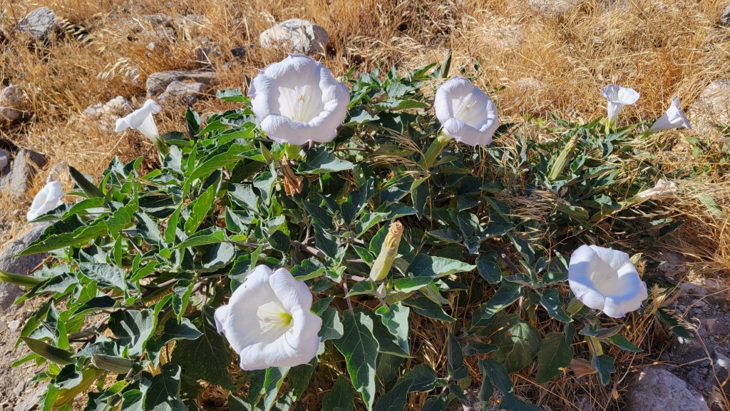
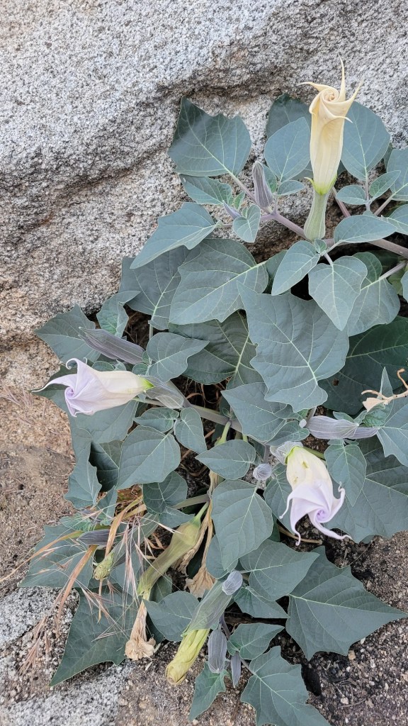
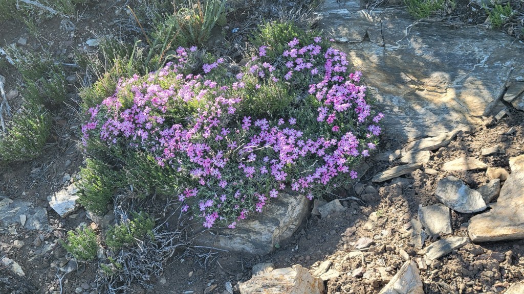
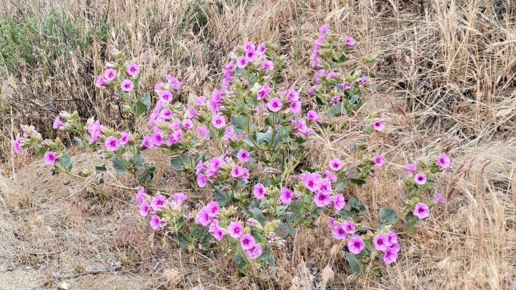
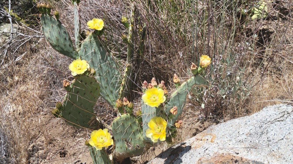
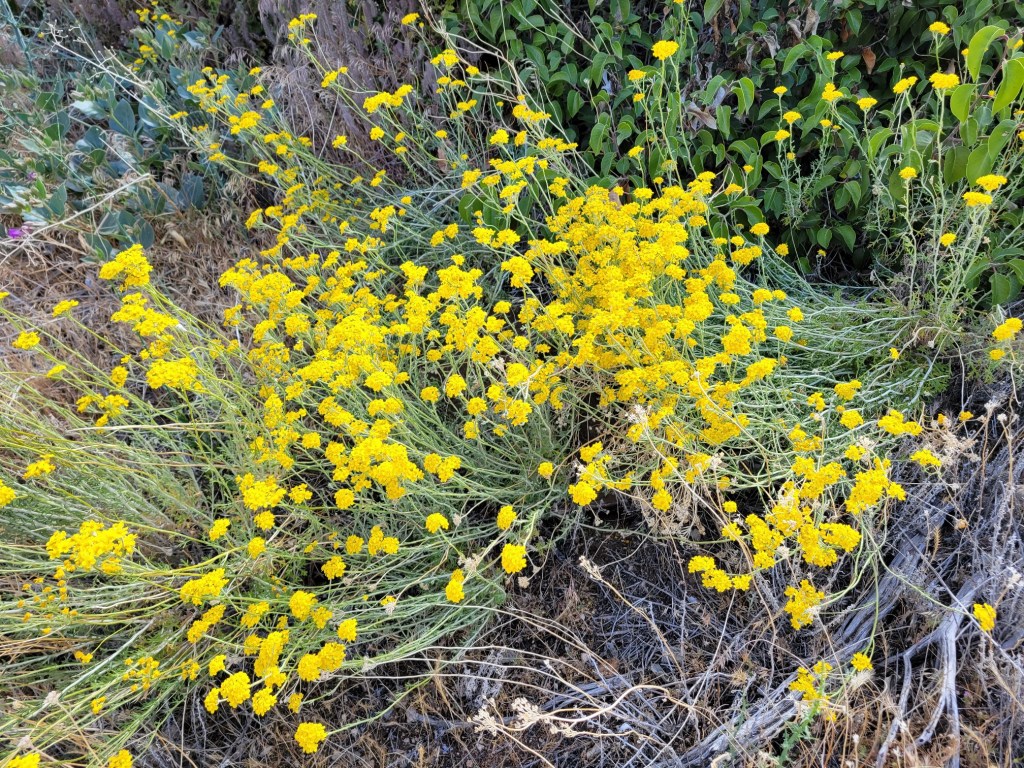
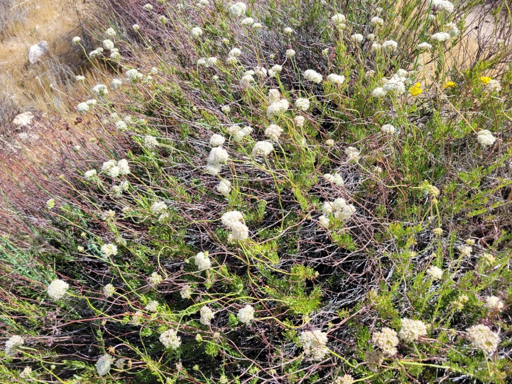
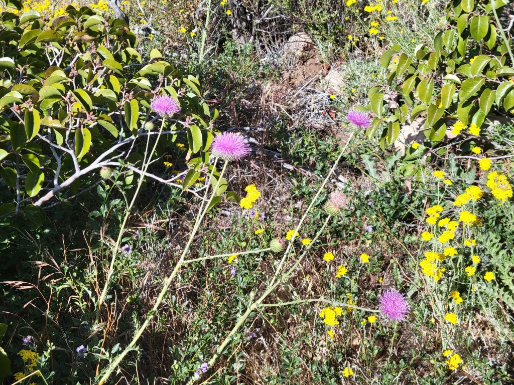
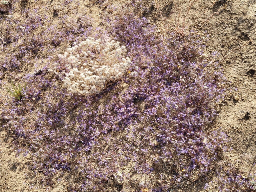
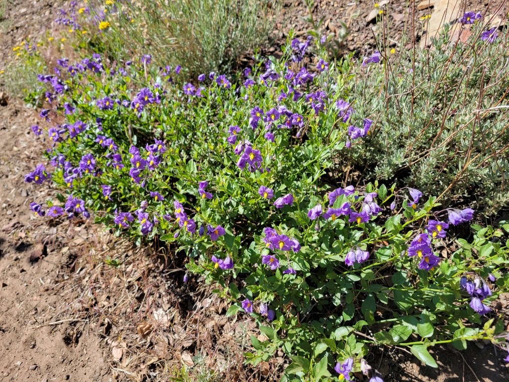
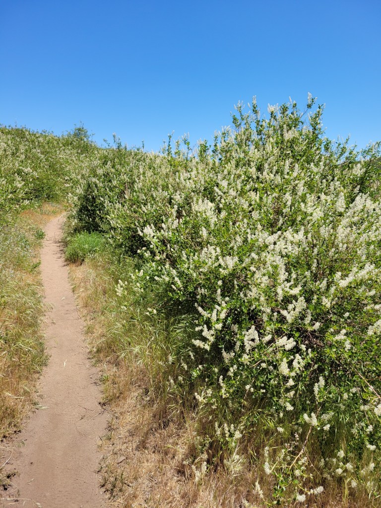
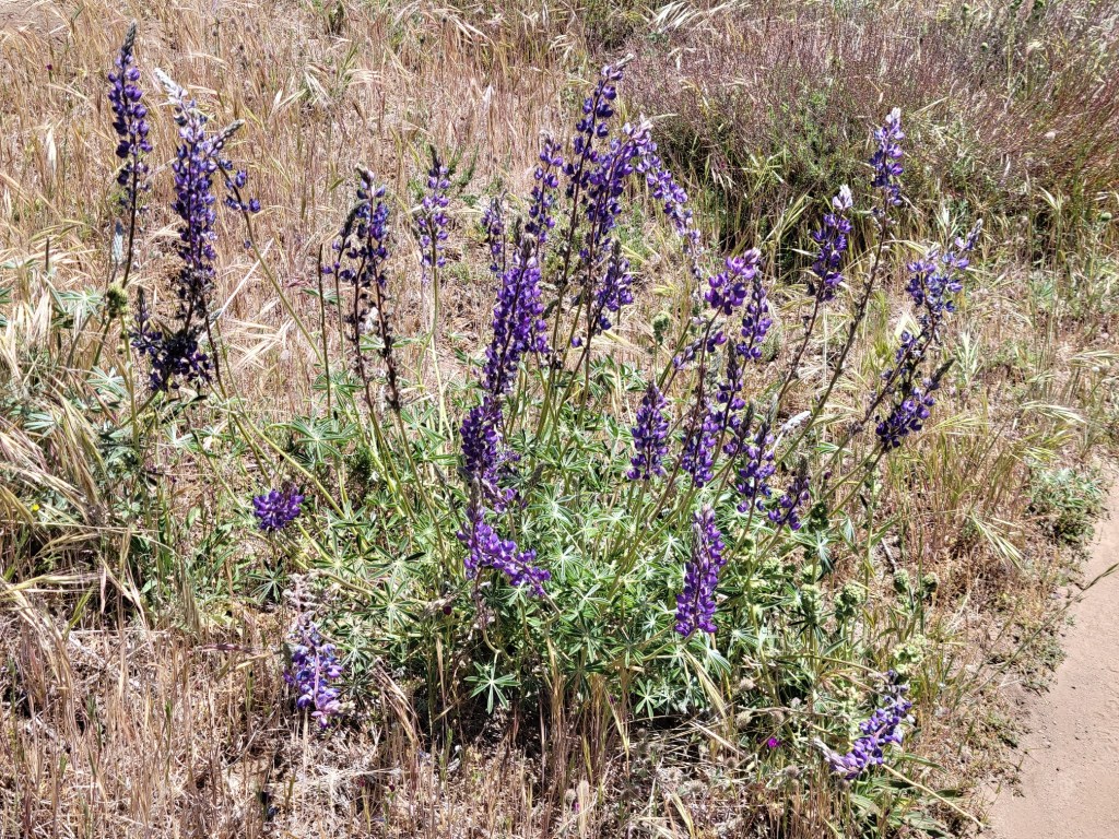
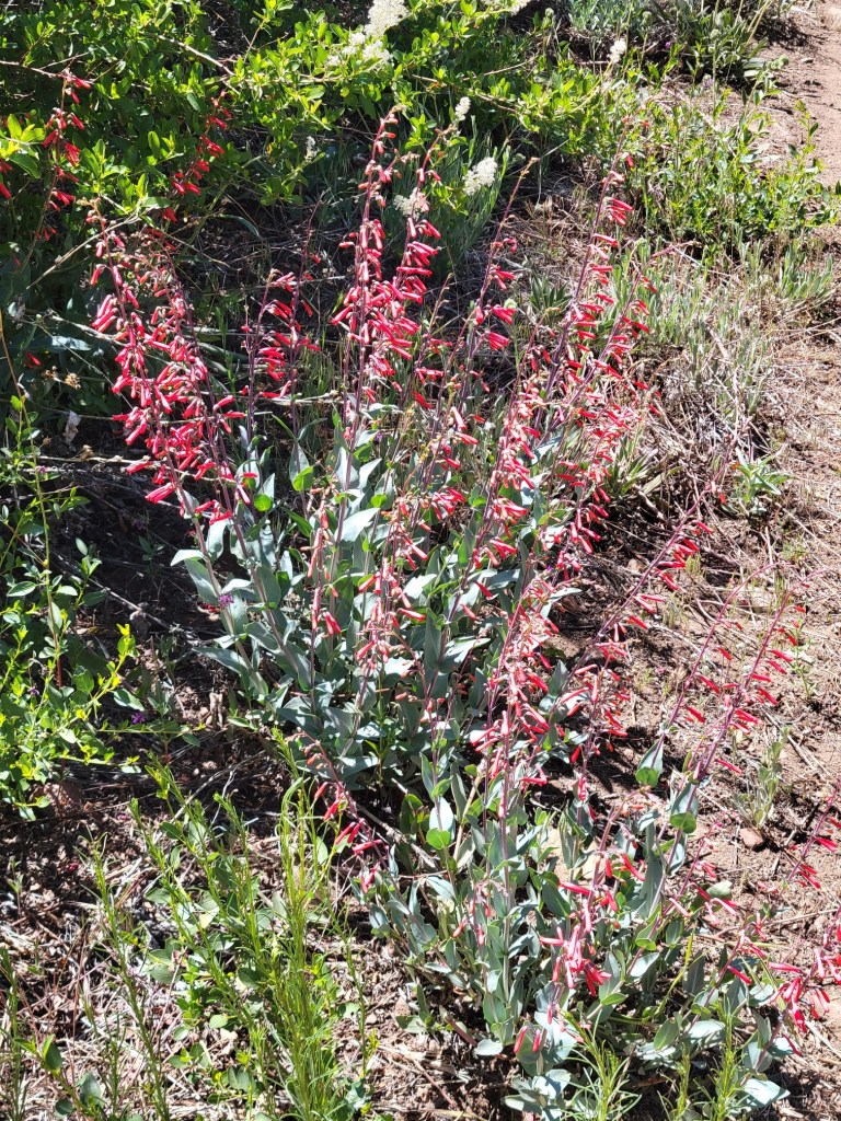
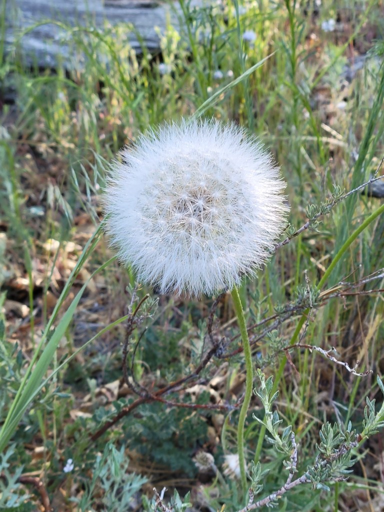
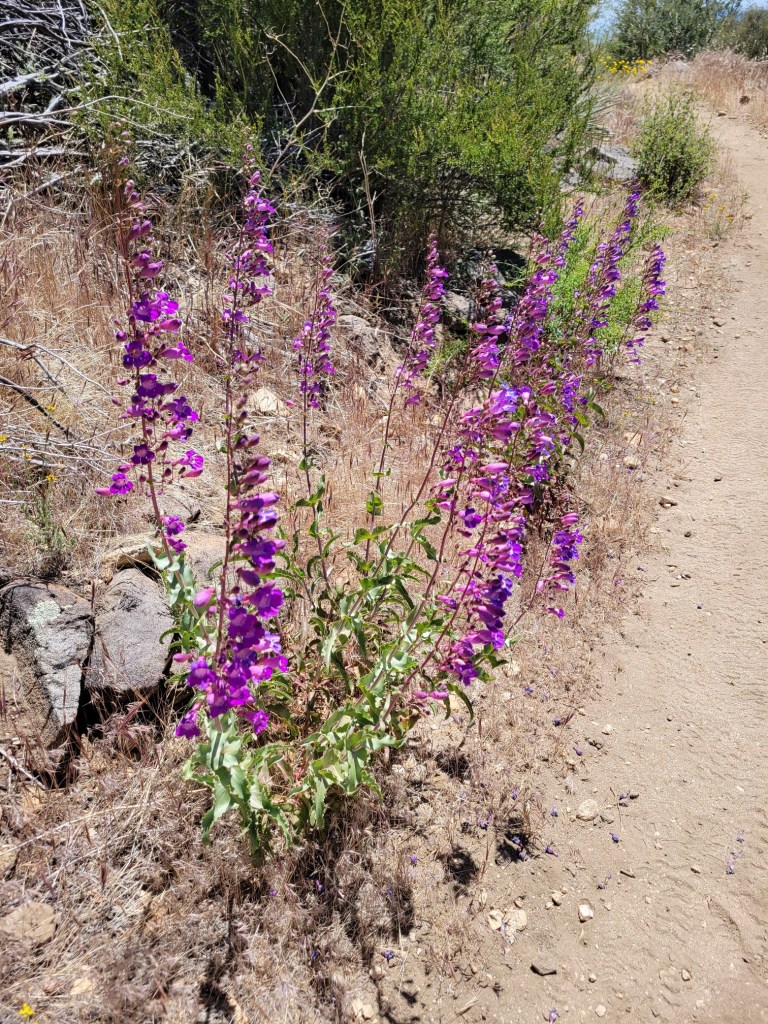
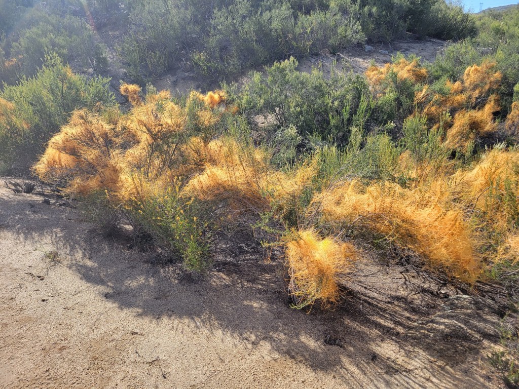
Here’s a sampling of the wildflowers and flowering shrubs I came across on the PCT in Southern California.


c) Andrew Carter, 2021
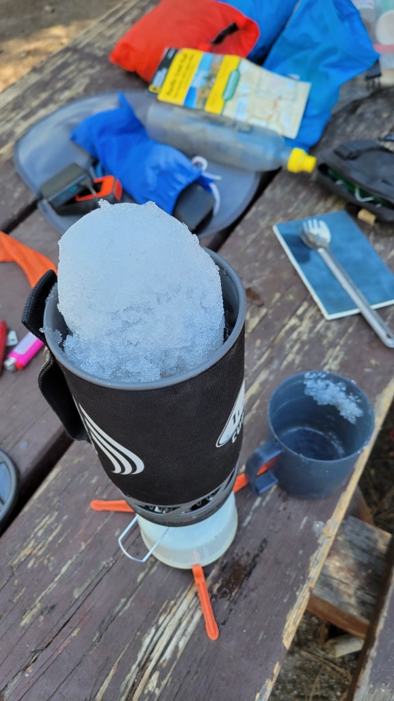
Here are some photos from my snow-melting operation on Mt. San Jacinto. The water was delightfully cold, but tasted like freezer burn. I used grape-flavored Propel to hide that taste.

c) Andrew Carter, 2021
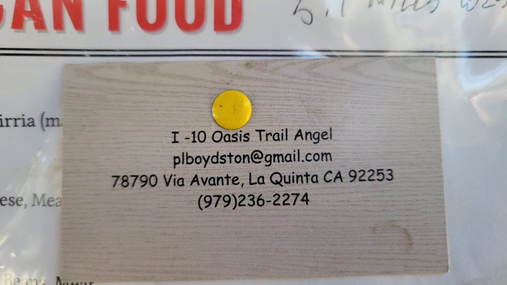
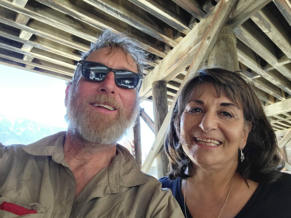
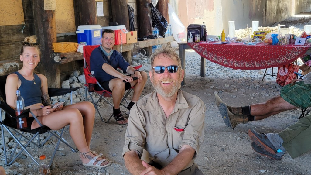
There are people who dedicate themselves to helping PCT hikers. They are called “trail angels.” On weekends, they will often park themselves at PCT road crossings and offer food and beverages to the hikers who pass by. I have met two different trail angels of this type during the 650 miles I’ve hiked so far.
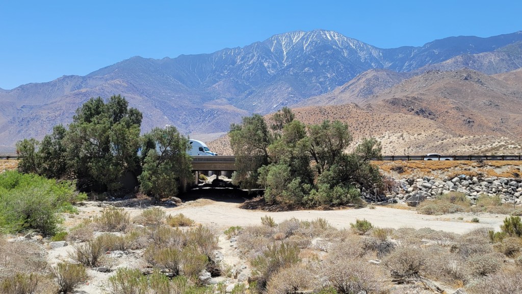
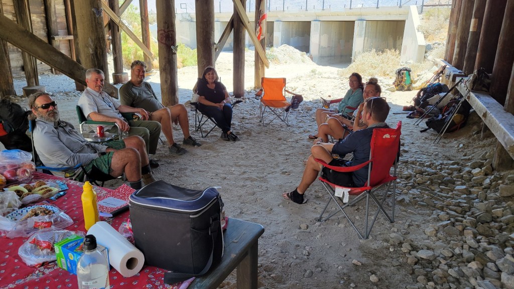
The first angel I met was “Mother Bear,” who sets up her aid station in a large culvert underneath the I-10 just outside of Palm Springs. Here are some photos.
I also ran into “Santa Claus” at a roadside rest area in the Mt. Laguna Recreation Area in rural San Diego County. In a few minutes, I consumed one donut, one Rice Krispies Treat, a slice of cake, a banana, an orange, and some Gatorade. I would have eaten more, but I didn’t want to be a pig.
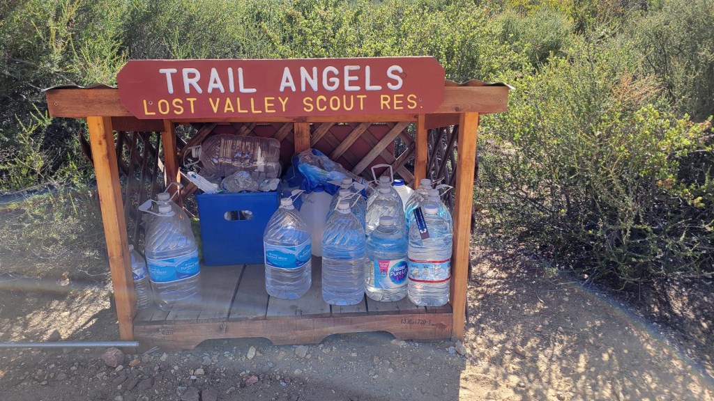
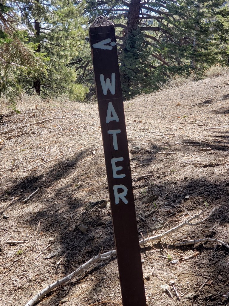
Other trail angels set up and stock water caches on the trail. Here’s one on a very dry section of trail in rural San Diego County.
An here is Mary’s Place not too far away.
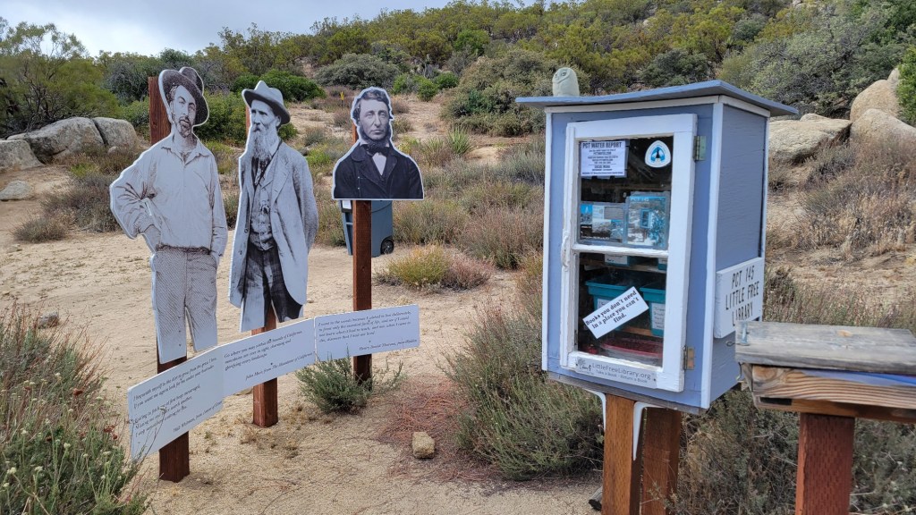
That’s Walt Whitman on the left. John Muir in the center, and Henry David Thoreau on the right. Note the “Little Free Library.” This cache had a giant tank of water plus two picnic tables.
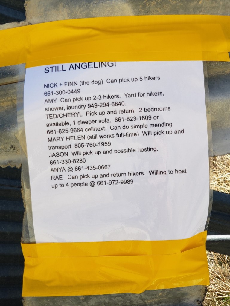
Some trail angels focus on providing hikers rides into town from PCT trailheads or rides back to the trail. I’ve gotten two rides from trail angels so far. One drove me from Tehachapi to the trail. Another drove me from the trail into Julian.
c) Andrew Carter, 2021
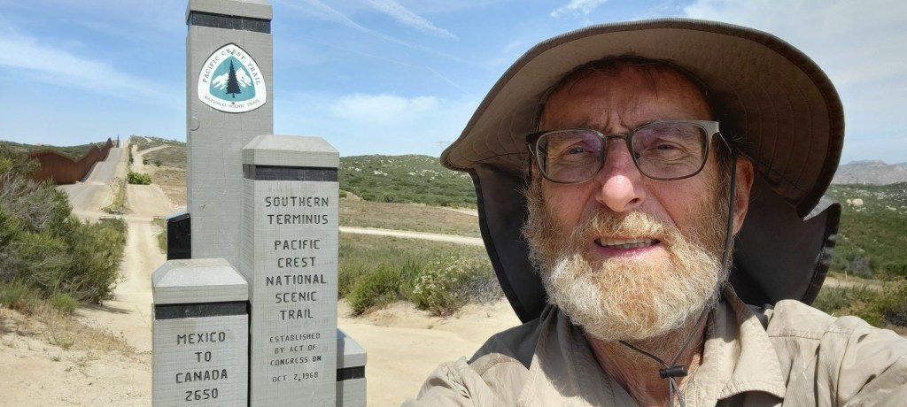
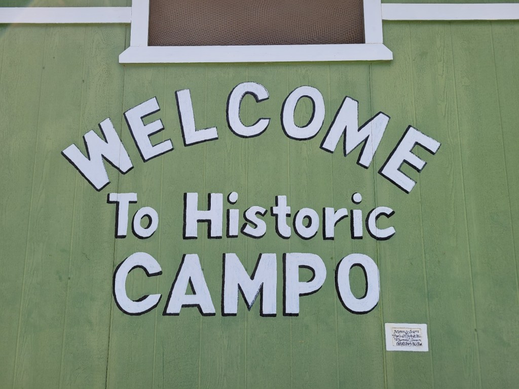
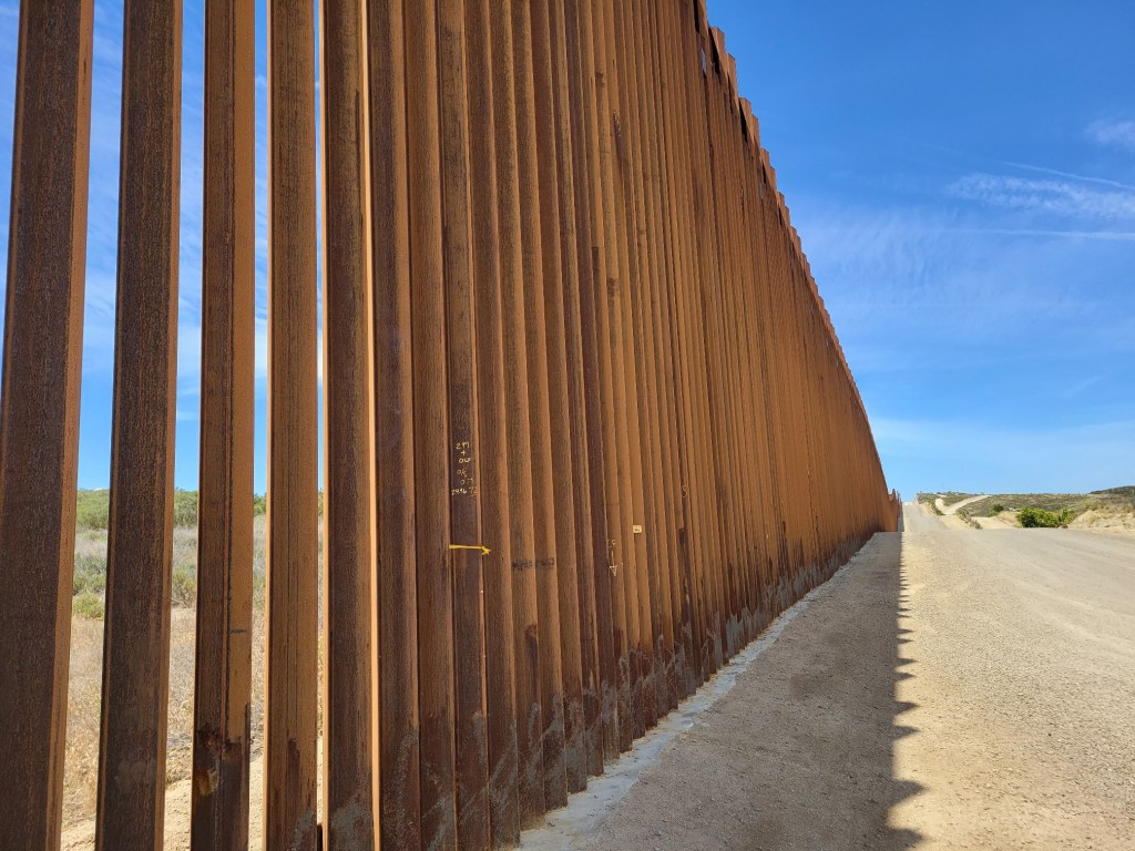
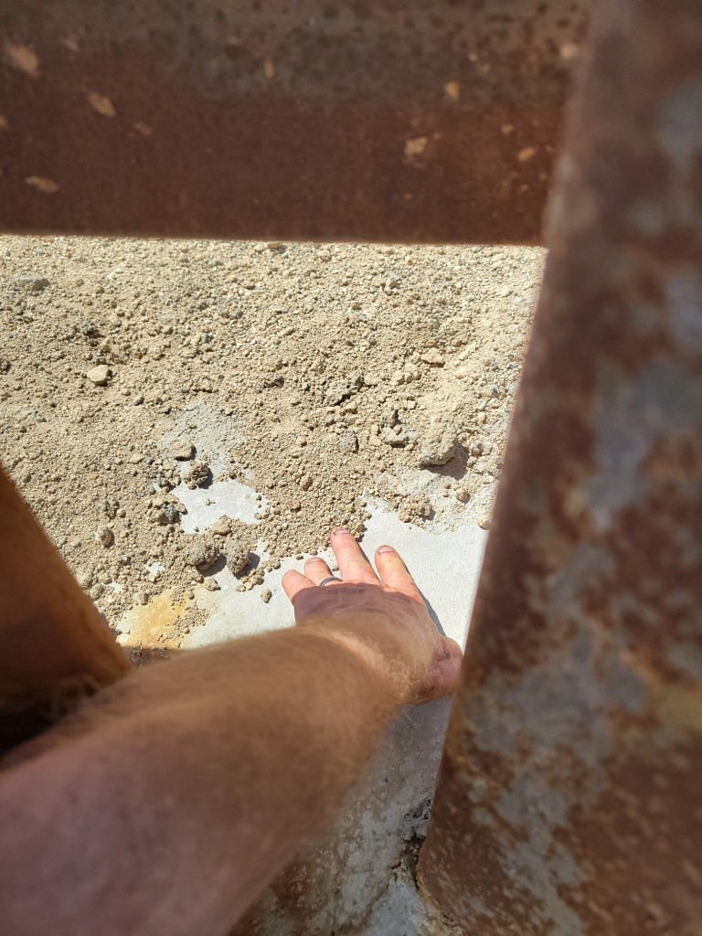
The PCT reaches the Mexican border just outside of Campo in rural San Diego County.

The PCT monument (above) is right next to the border wall. Of course, I stuck my hand through the wall to touch Mexican soil.
There’s a border patrol station in Campo. While I was at the border, four different border agents passed by on patrol, riding their all-terrain quad runners.

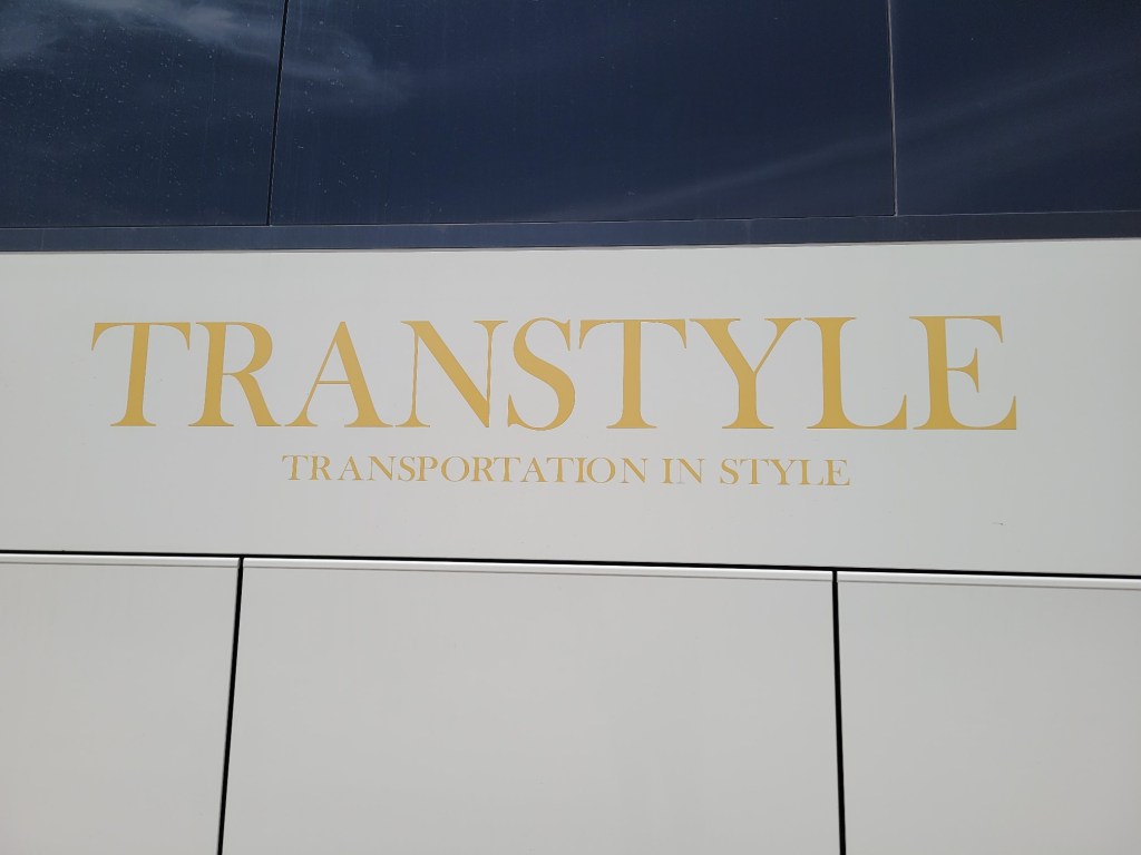
The border patrol station has a small jail where undocumented detainees are held for a short while before being transported to a larger facility. When I walked by, four detainees were about to board a charter bus which would take them to that larger facility. Here’s the sign on that bus:
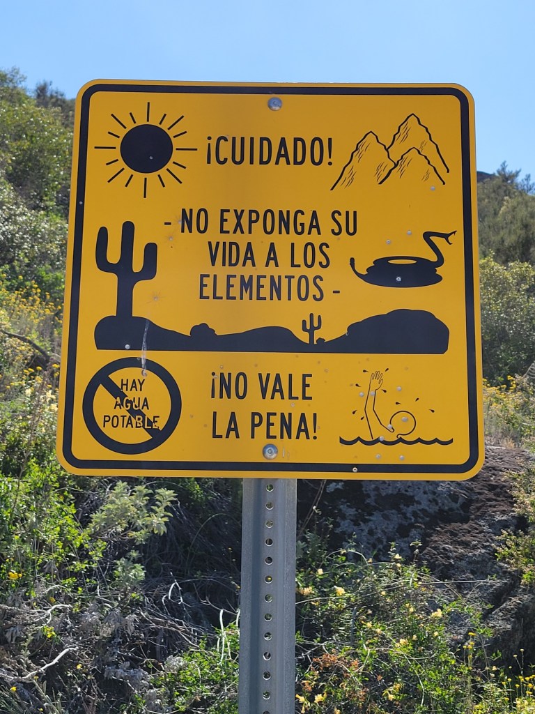
Campo is in the desert. The climate is quite harsh. Here’s a sign in Spanish urging those crossing the border to not risk their lives in the process.
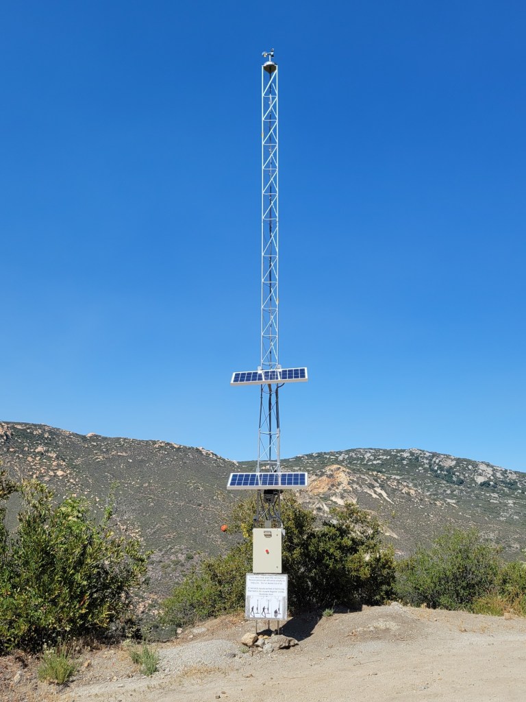
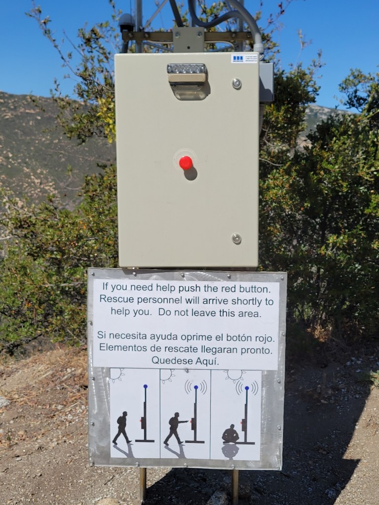
And here’s a call box, border crossers can use to call for help. It was on a fire road which the PCT follows for about a mile.
On the way into San Diego from Campo, the public transit bus stopped at a border patrol checkpoint. Two agents hopped on the bus and asked to see passengers’ documentation. Before I could get out my driver’s license, the agent asked if I were an American citizen. When I said yes, he was satisfied. Clearly, I look and sound “American,” which means white.
c) Andrew Carter, 2021
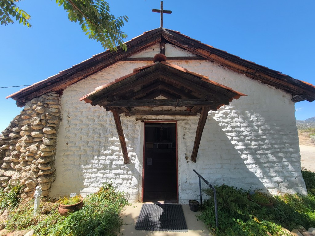
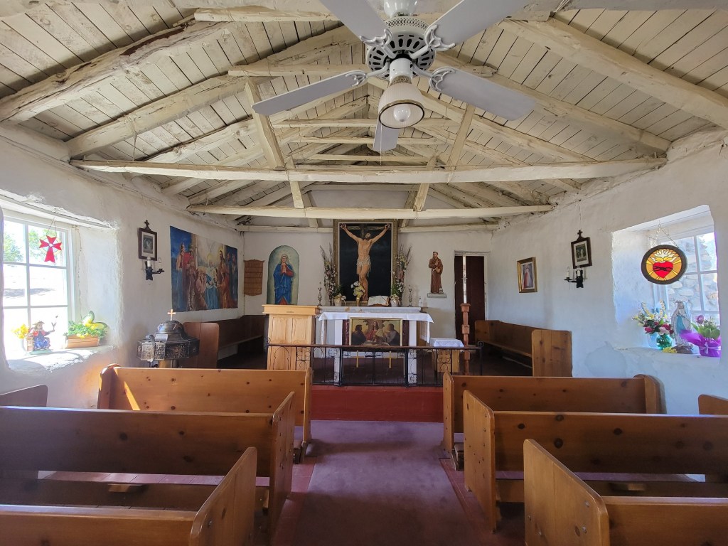
Here are photos of a 19th century adobe church in Warner Springs, California. The PCT passes by just outside of town.


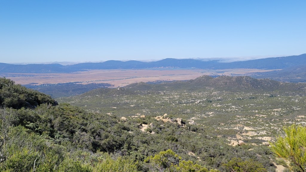
And here are some photos of the Warner Ranch which surrounds Warner Springs. About 10 miles of the PCT goes through the ranch.
c) Andrew Carter, 2021
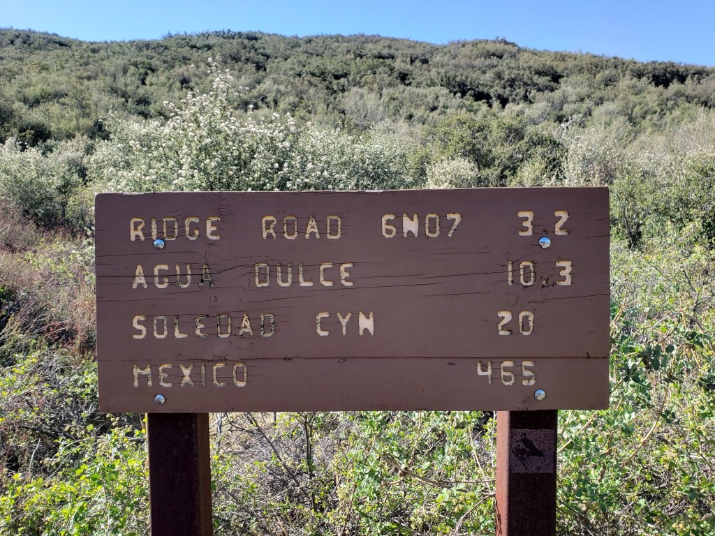
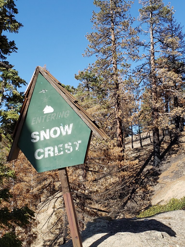
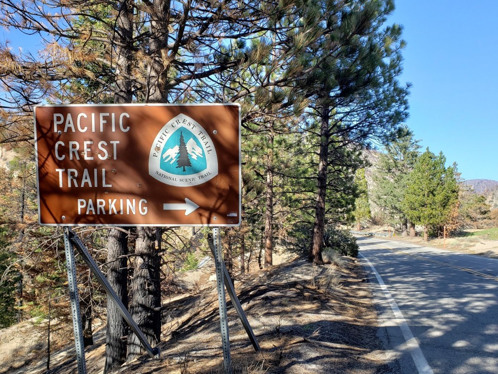
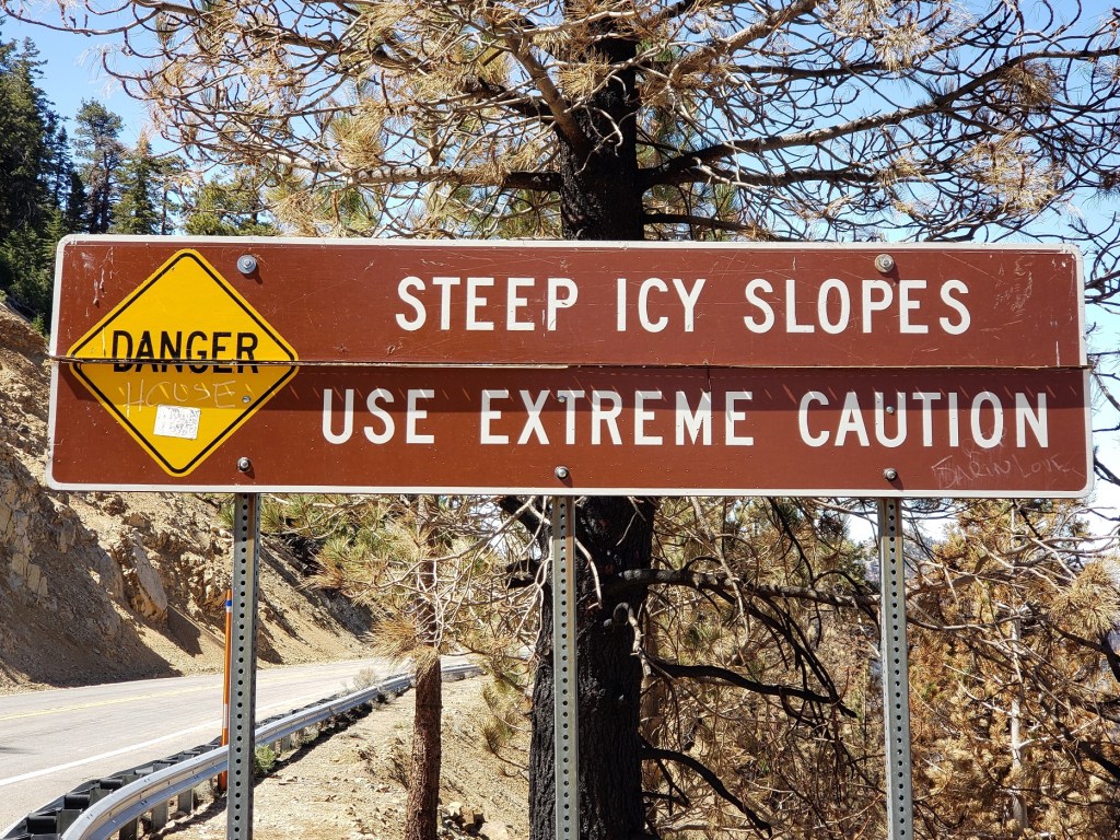
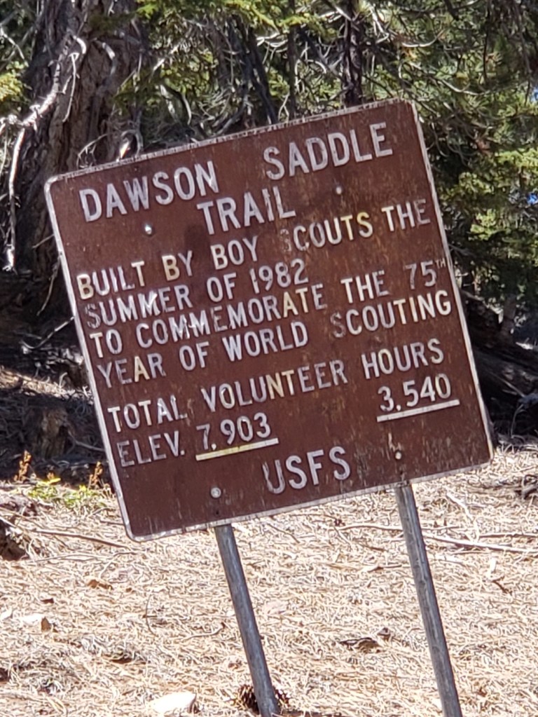
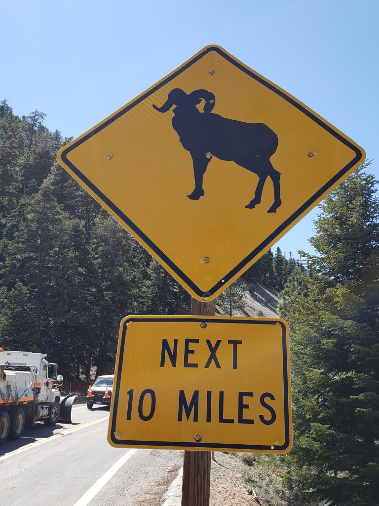
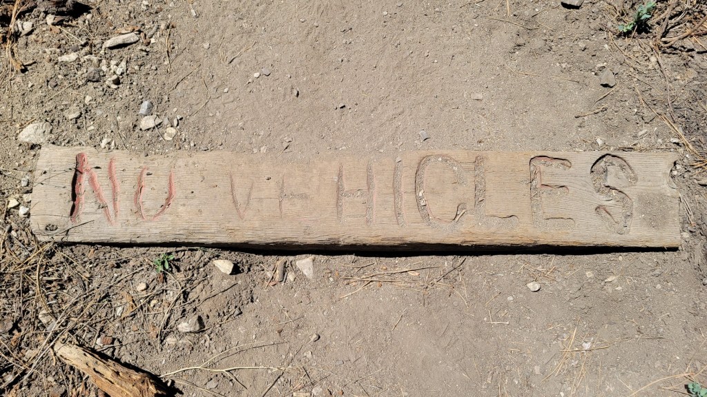
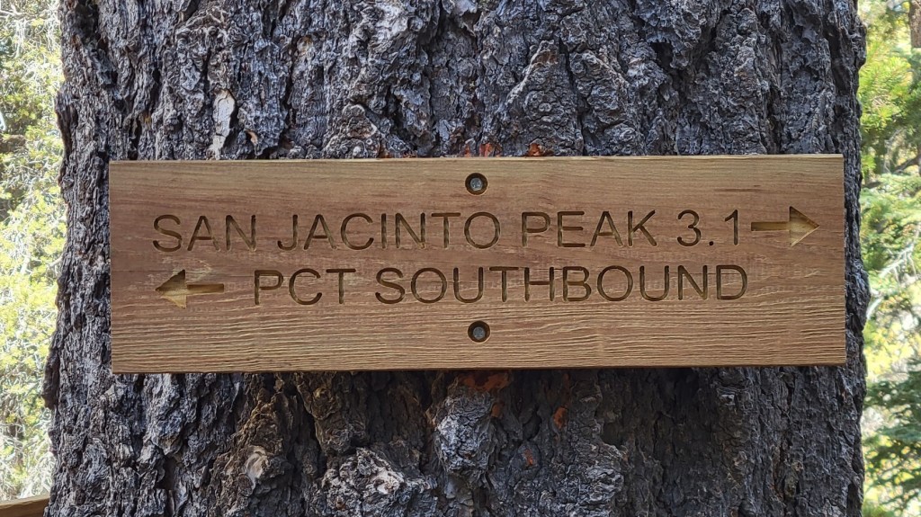
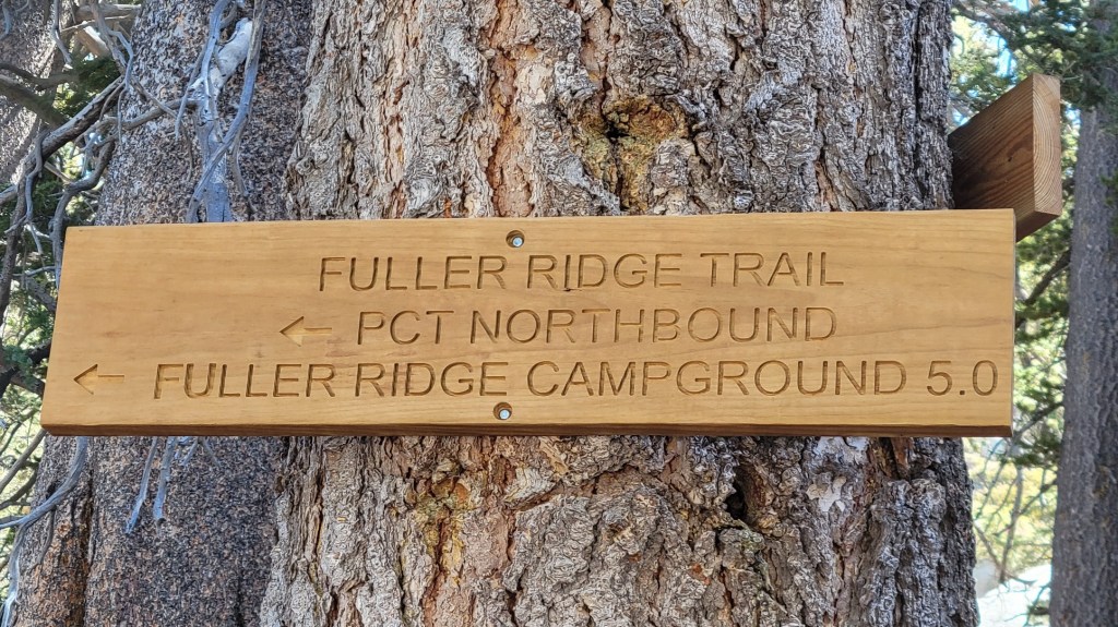
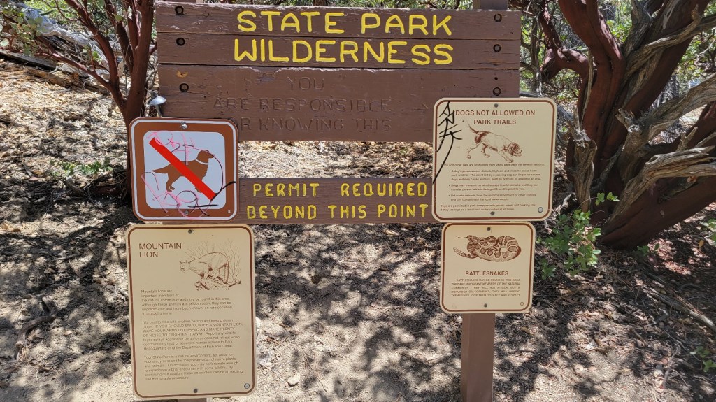
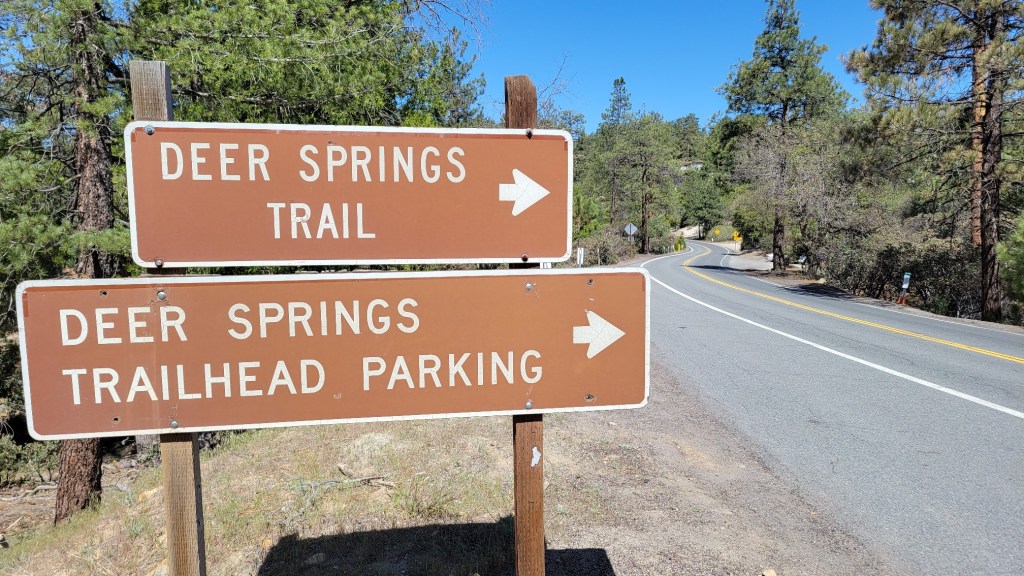
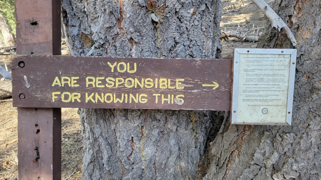
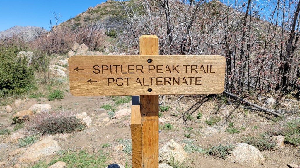
The road signs below are from segments where the PCT is following a road. Most came from a required detour on the Angeles Crest Highway where the PCT and forest were closed due to a fire last year.


c) Andrew Carter, 2021
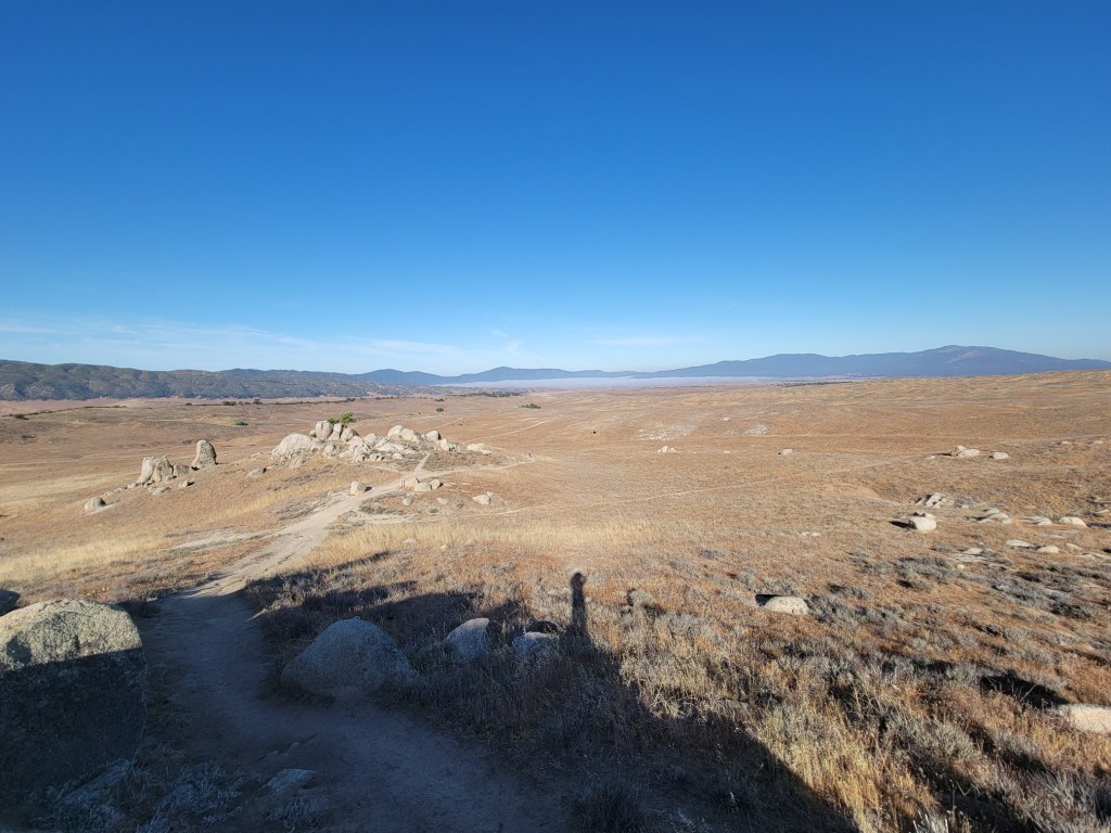
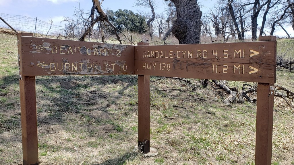
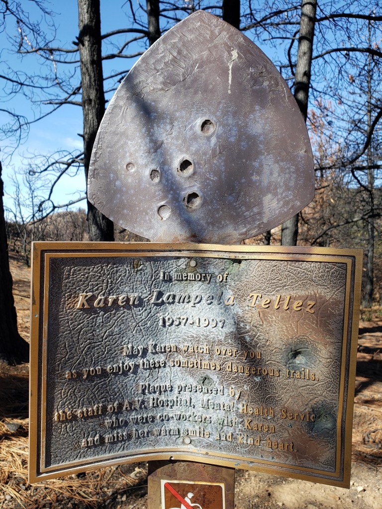
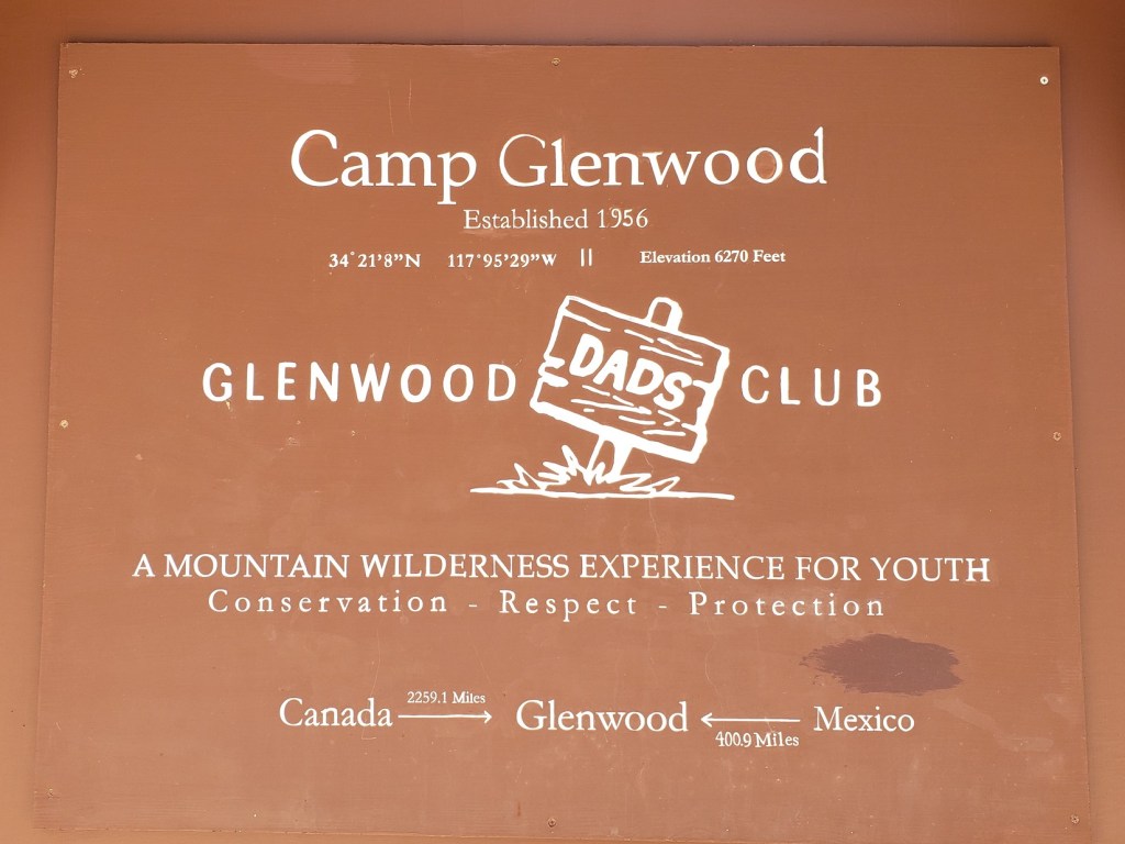
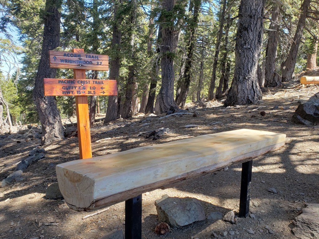
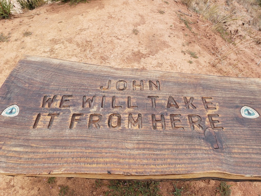
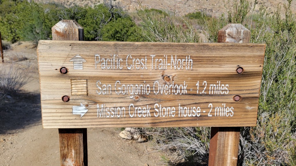
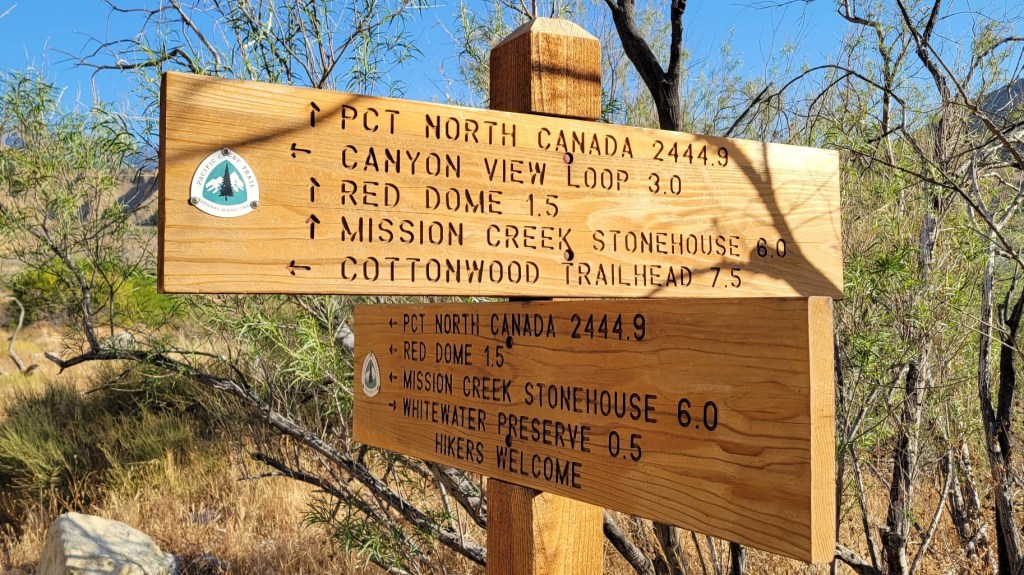
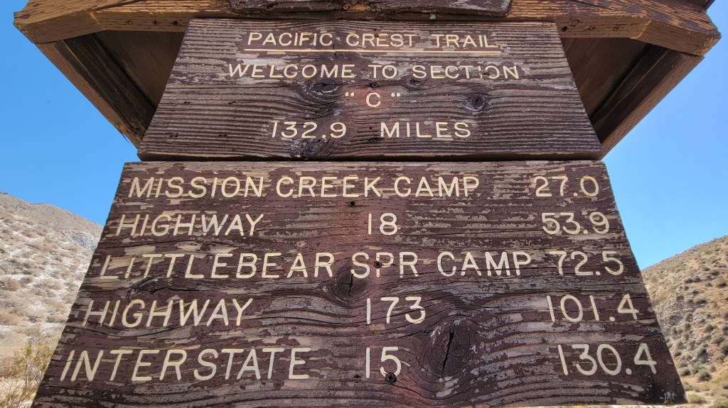
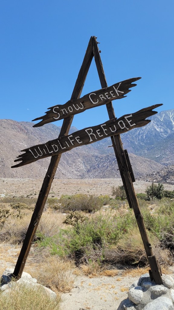
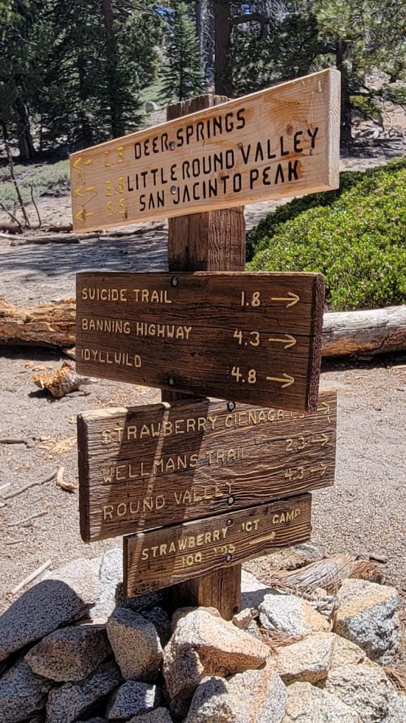
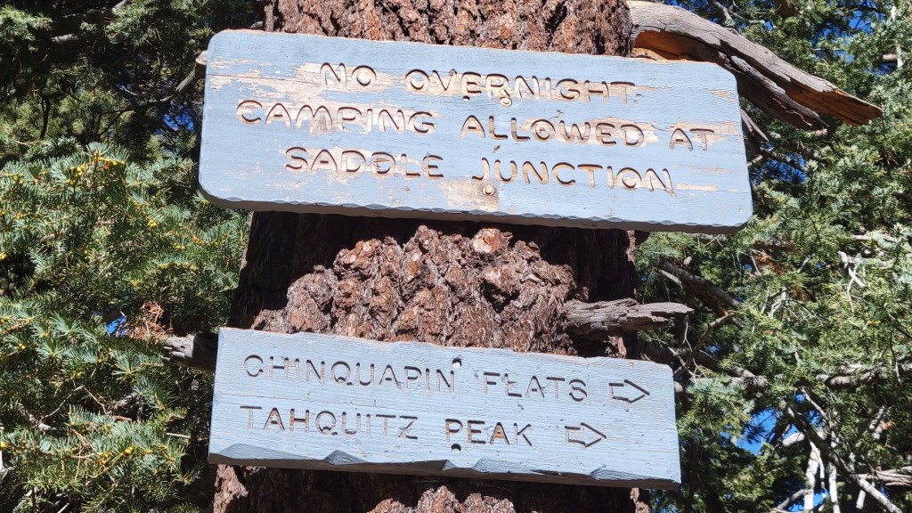
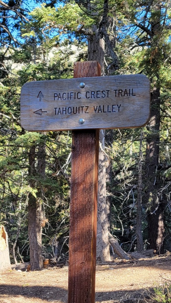
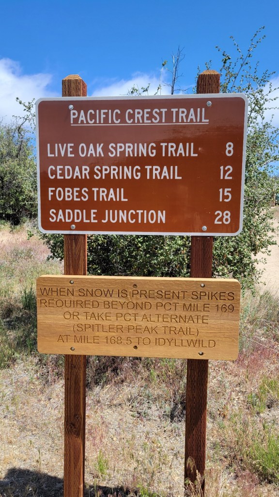
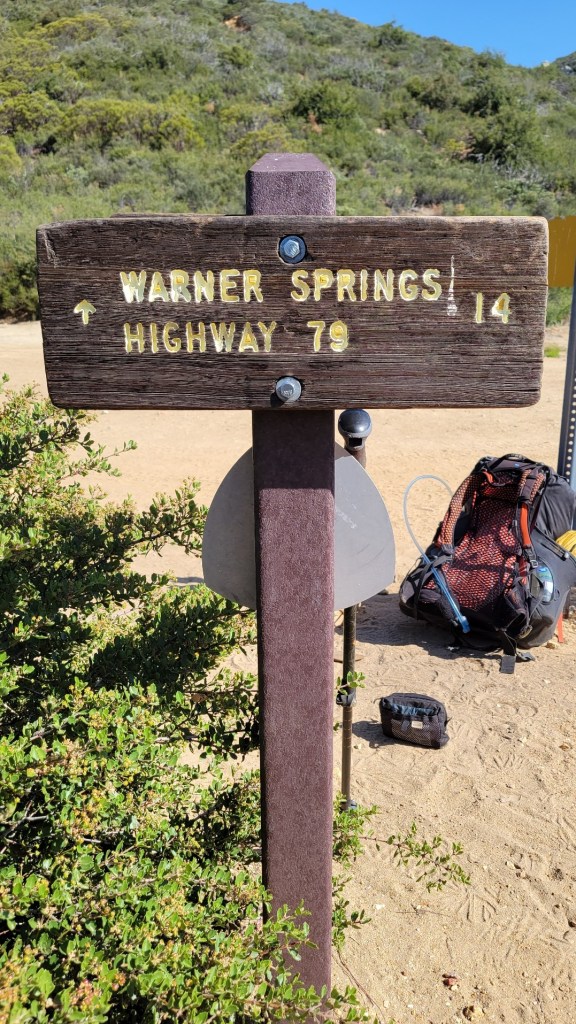
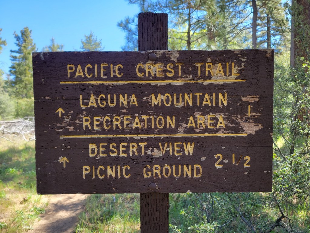
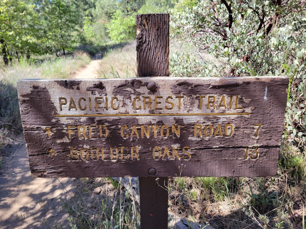
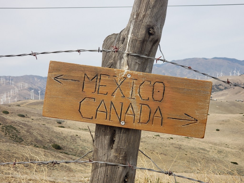
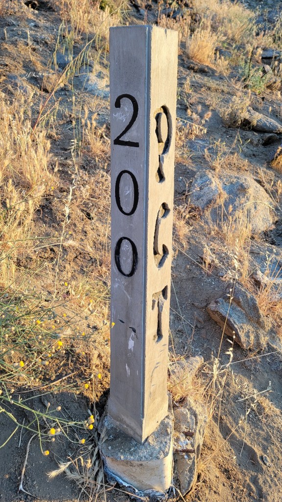
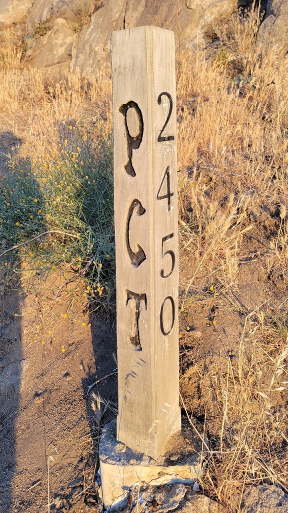
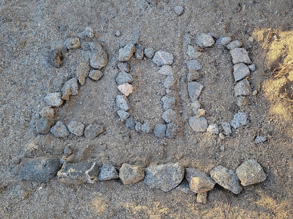
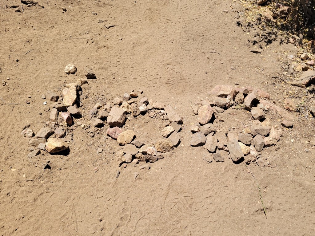
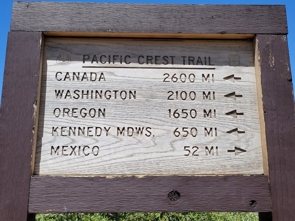
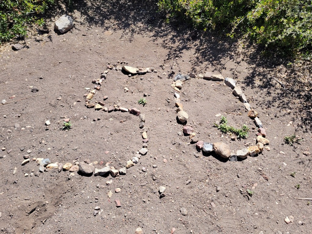
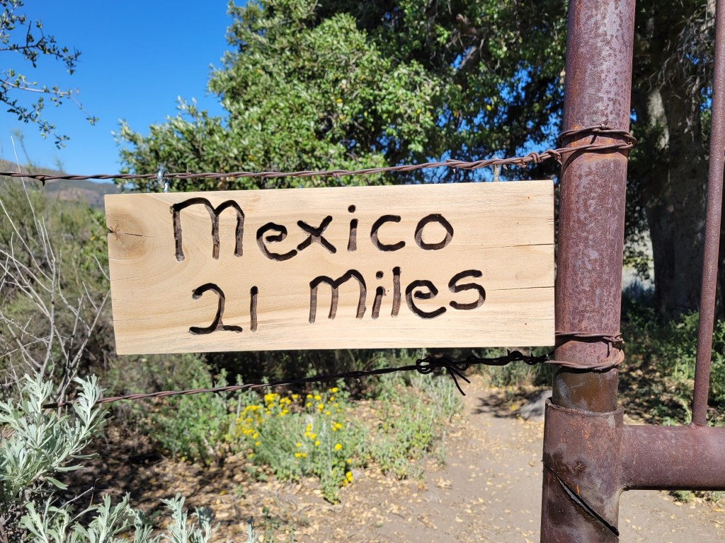
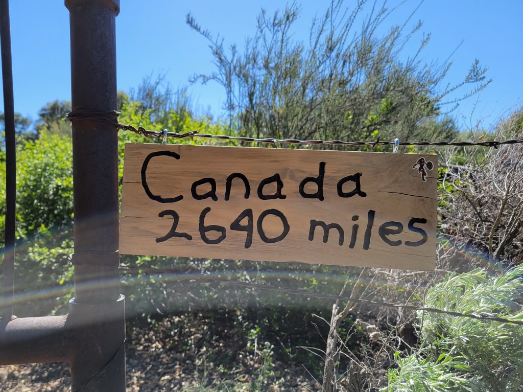
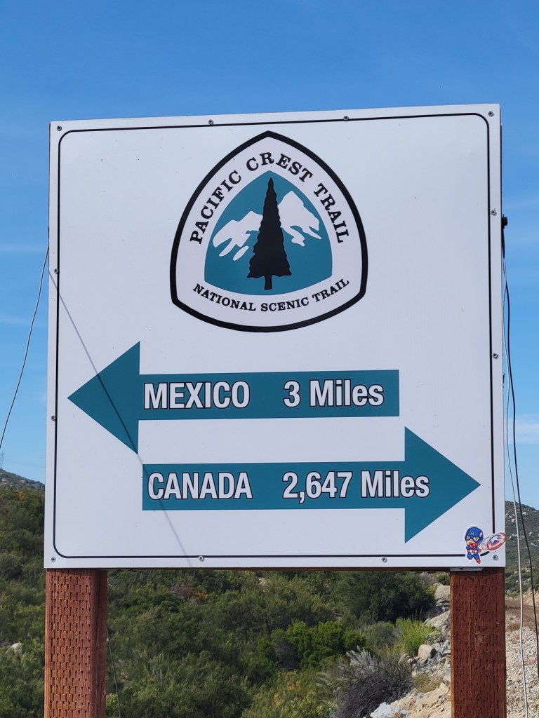
And here are signs which tell the PCT hiker how far they have come or how far they have to go. The rock signs have been created by northbound hikers to indicate how far they’ve come at that point on the trail. Since I was hiking to the Mexican border during my first leg, these signs told me how far I had to go to reach Mexico.


c) Andrew Carter, 2021
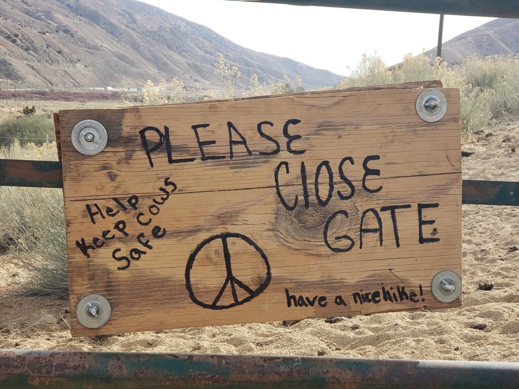
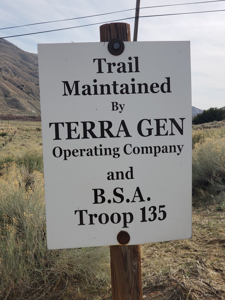
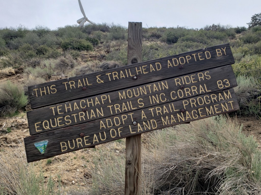
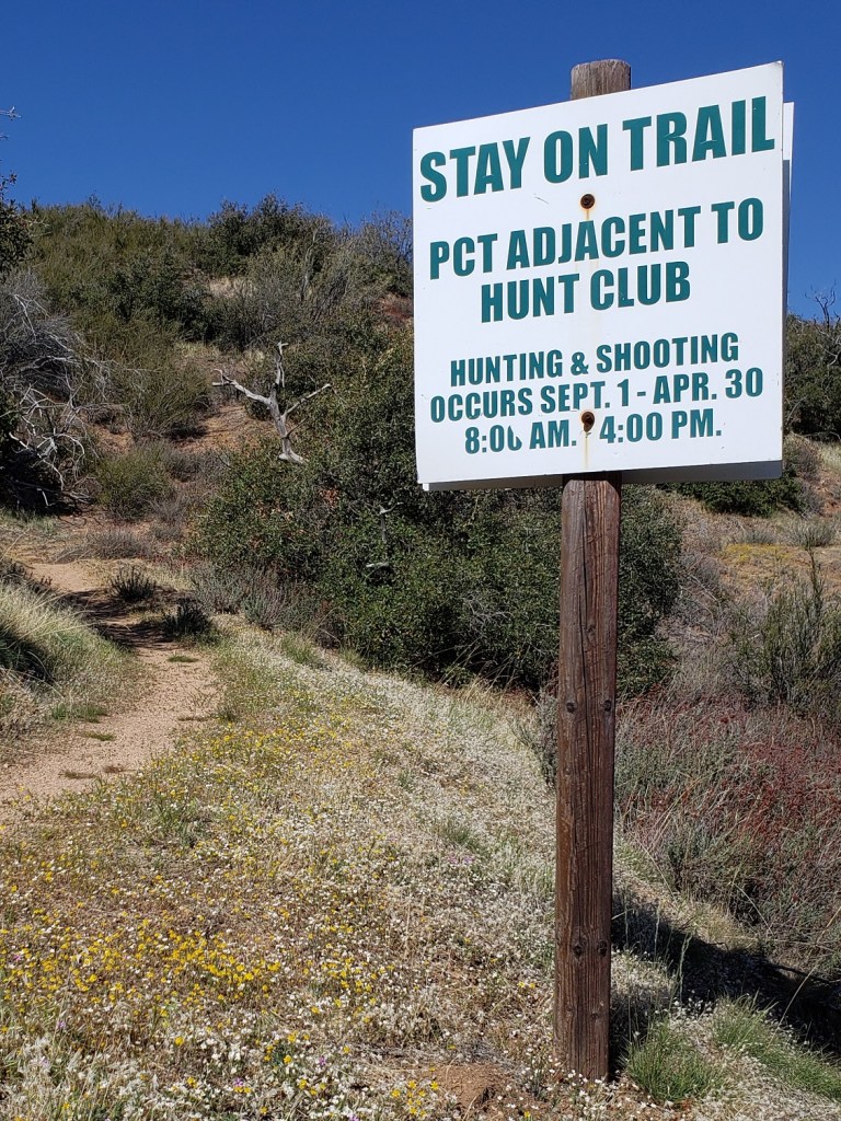
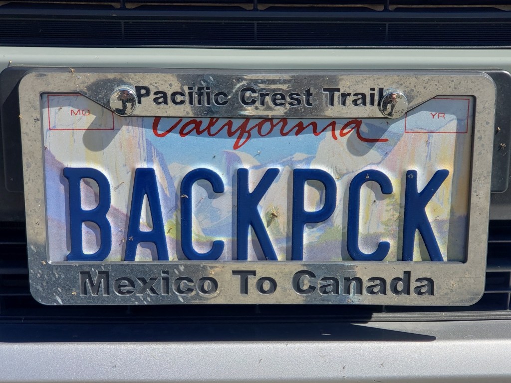
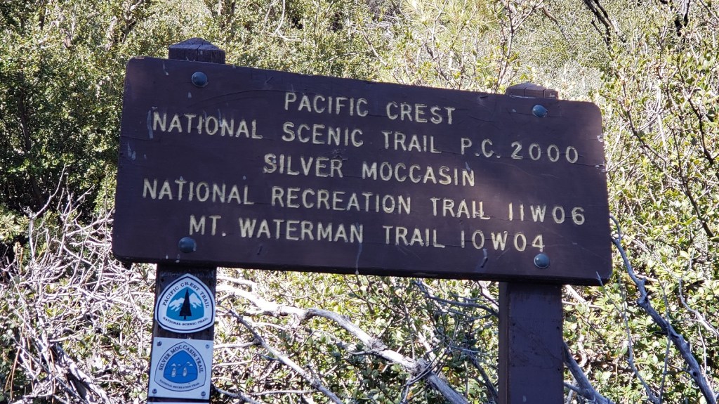
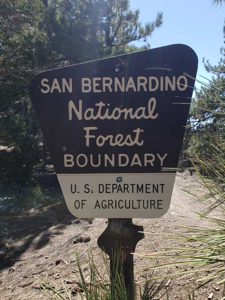
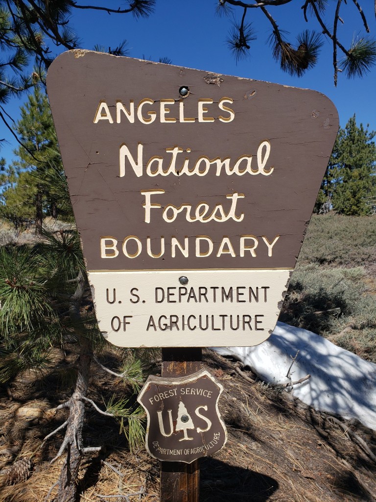
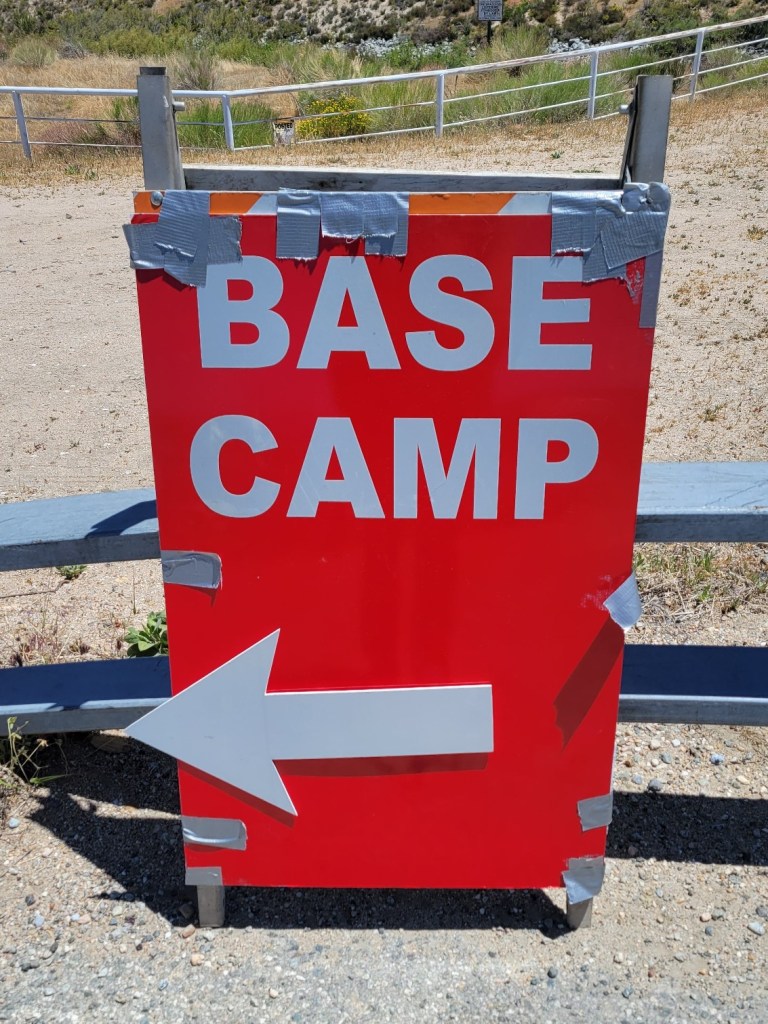
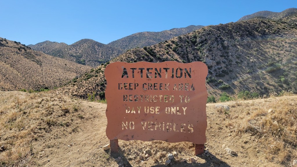
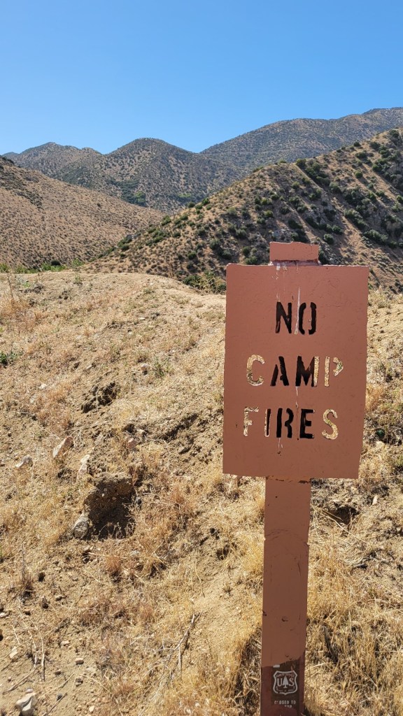
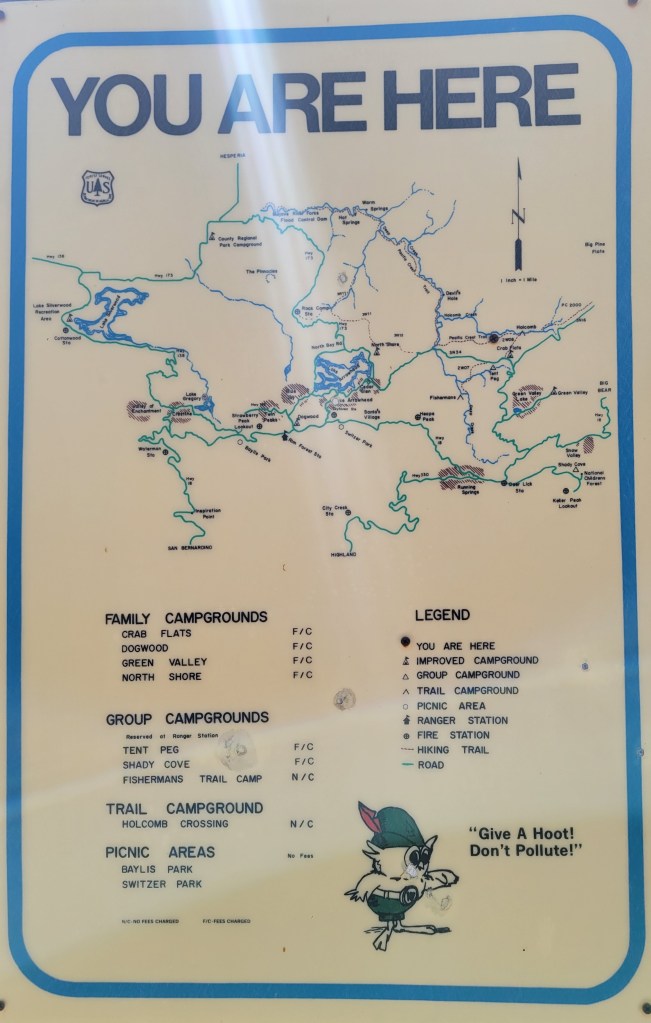
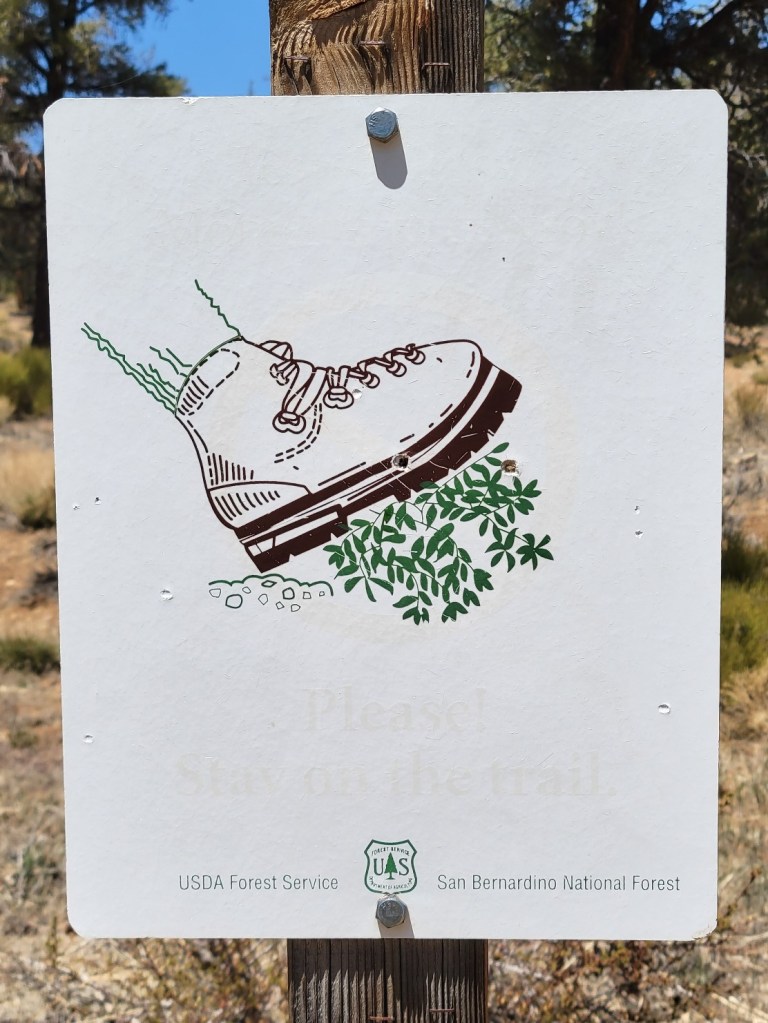
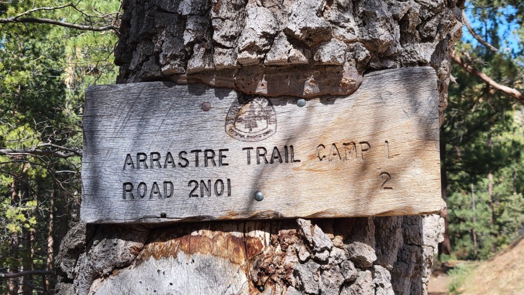
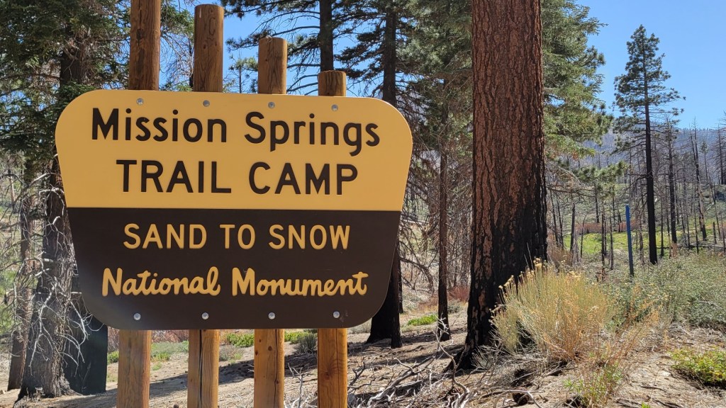
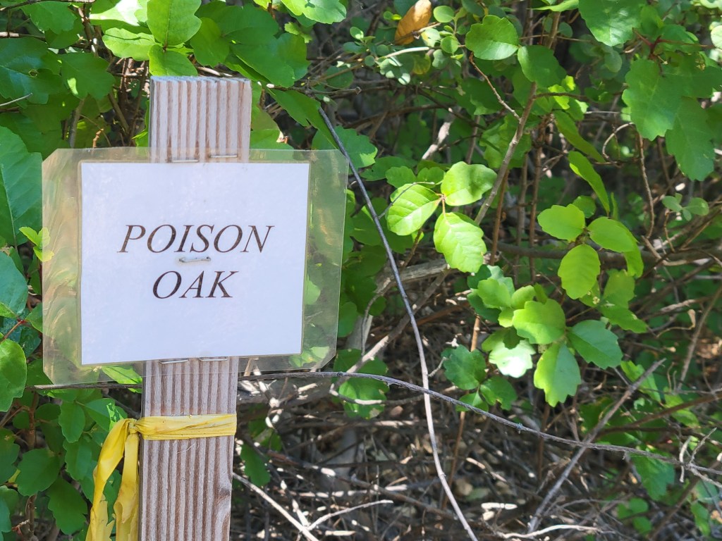
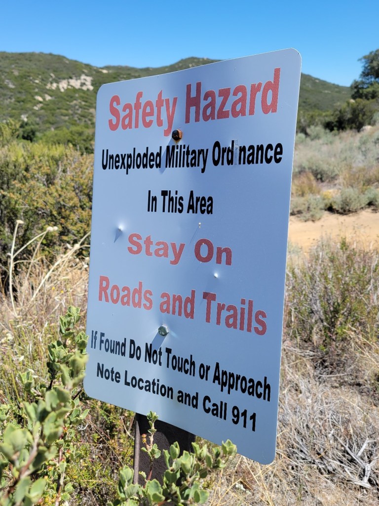
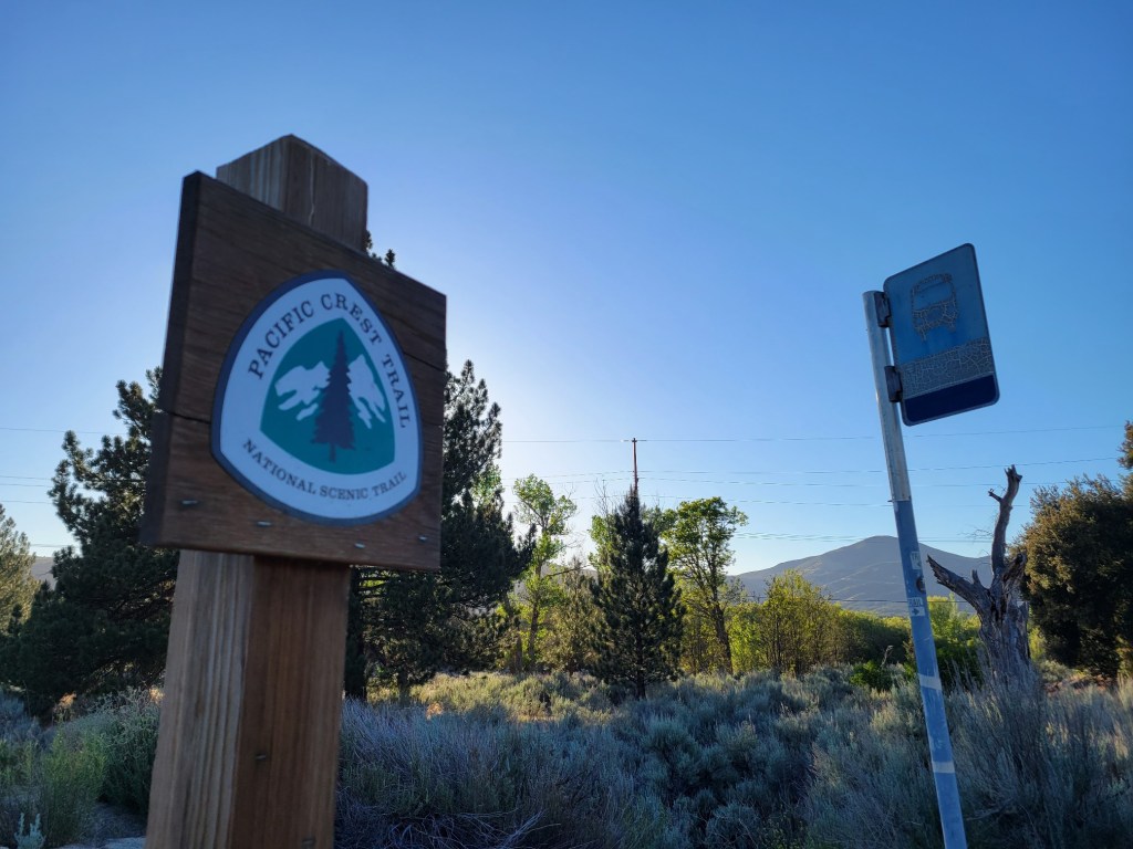
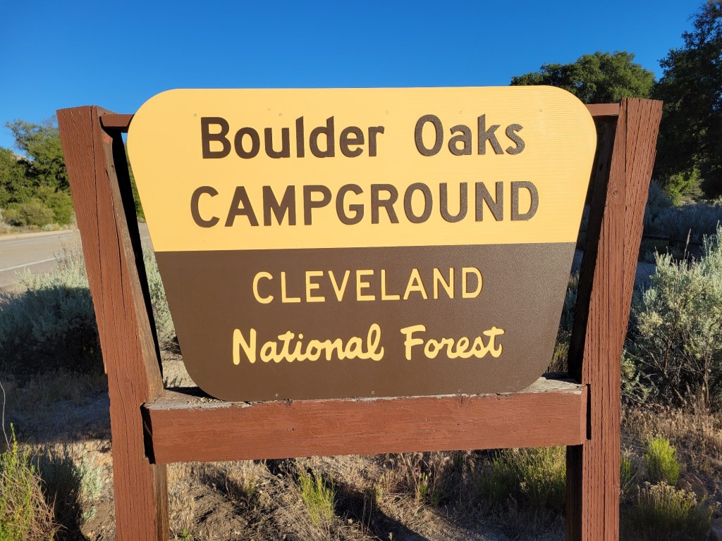
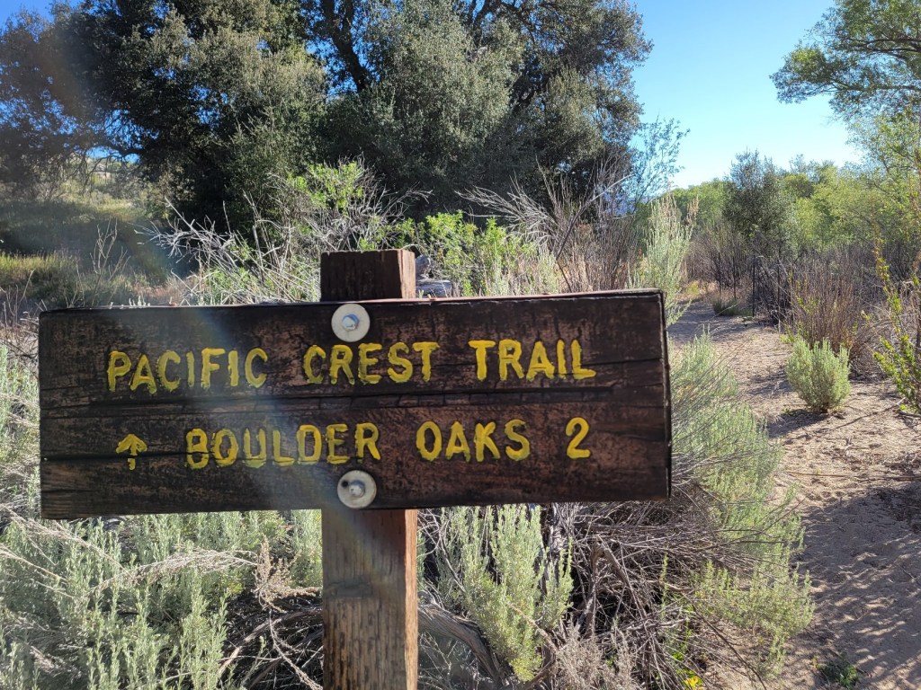
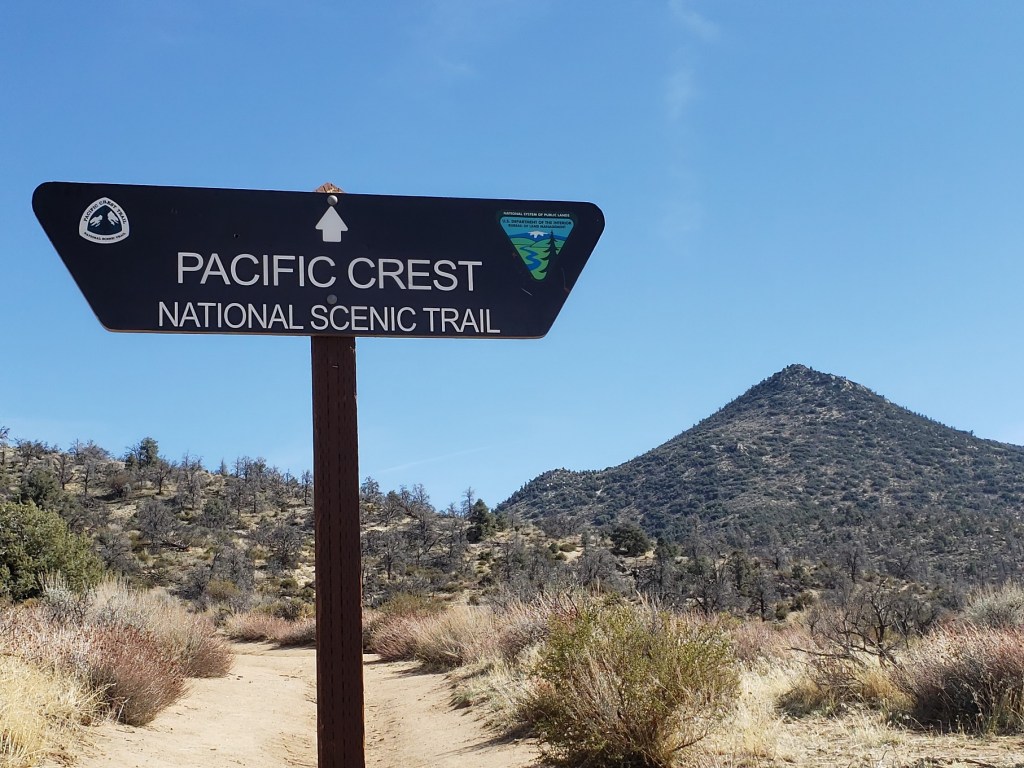
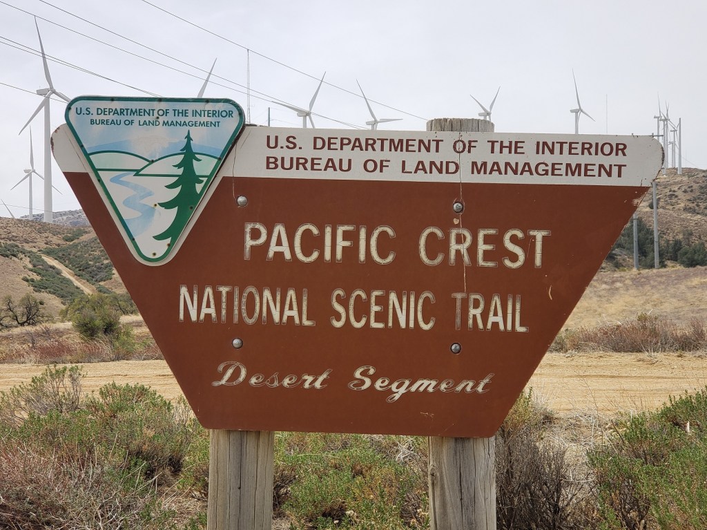
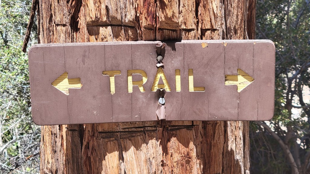
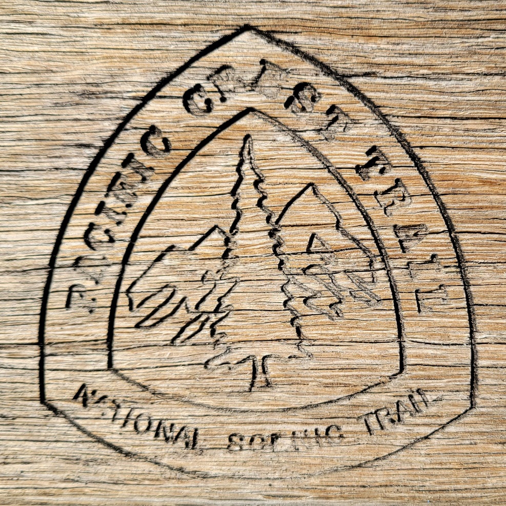
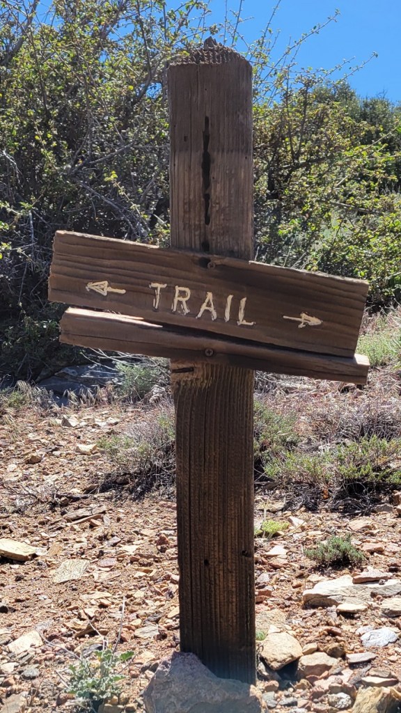
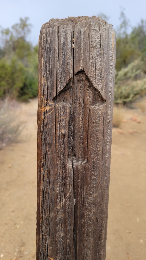
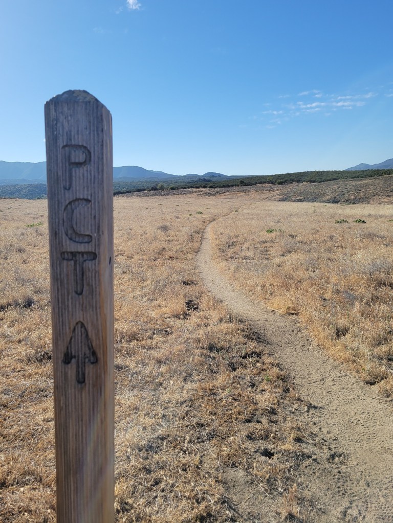
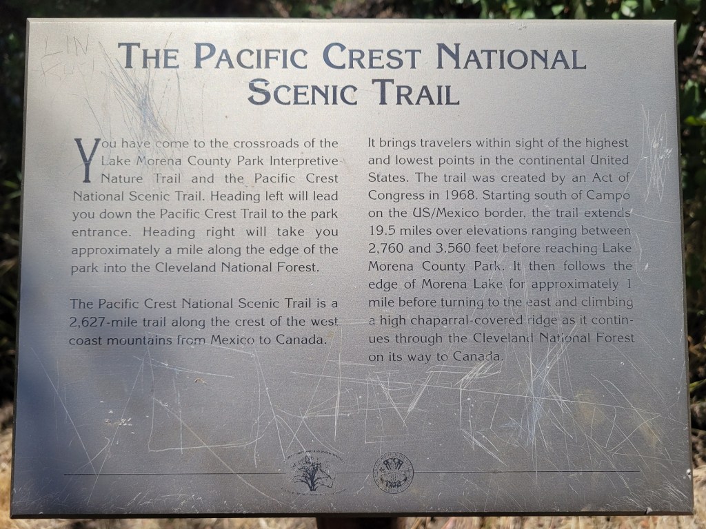
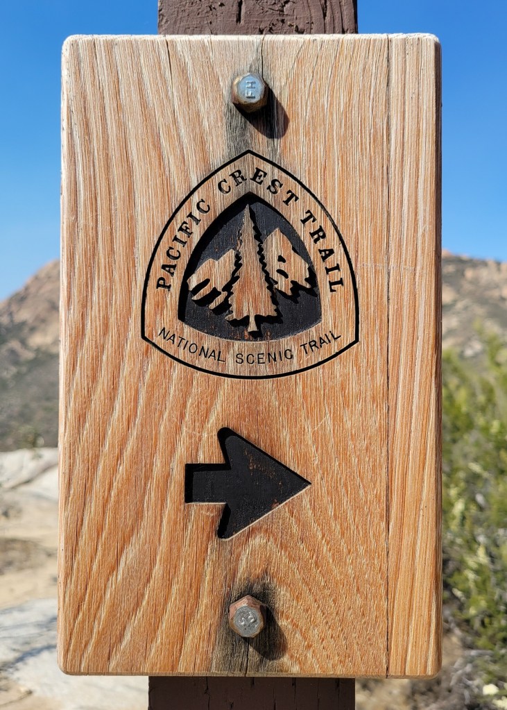
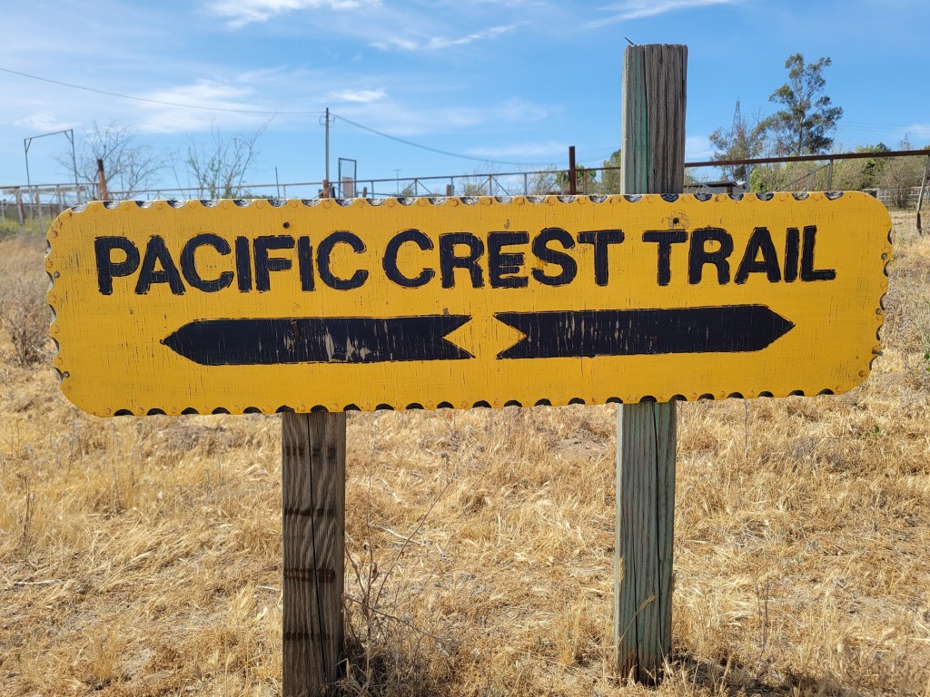
I’m going to add a bunch of posts with photos of things I’ve seen to date on the trail. These are things which, for one reason or another, have caught my eye. The first few posts will focus on the signage along the trail. For whatever reason, I like signs. Here are some basic signs with the PCT logo, the National Forest logo, simple arrow directional signs, and the like. Enjoy.


c) Andrew Carter, 2021
Made it to the Mexican border. 652 miles down. “Just” 2000 more to go. What? You mean I haven’t even made it one quarter of the way there yet? Jeez.
