Across the Desert

c) Andrew Carter, 2021

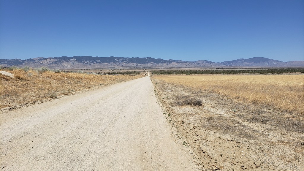
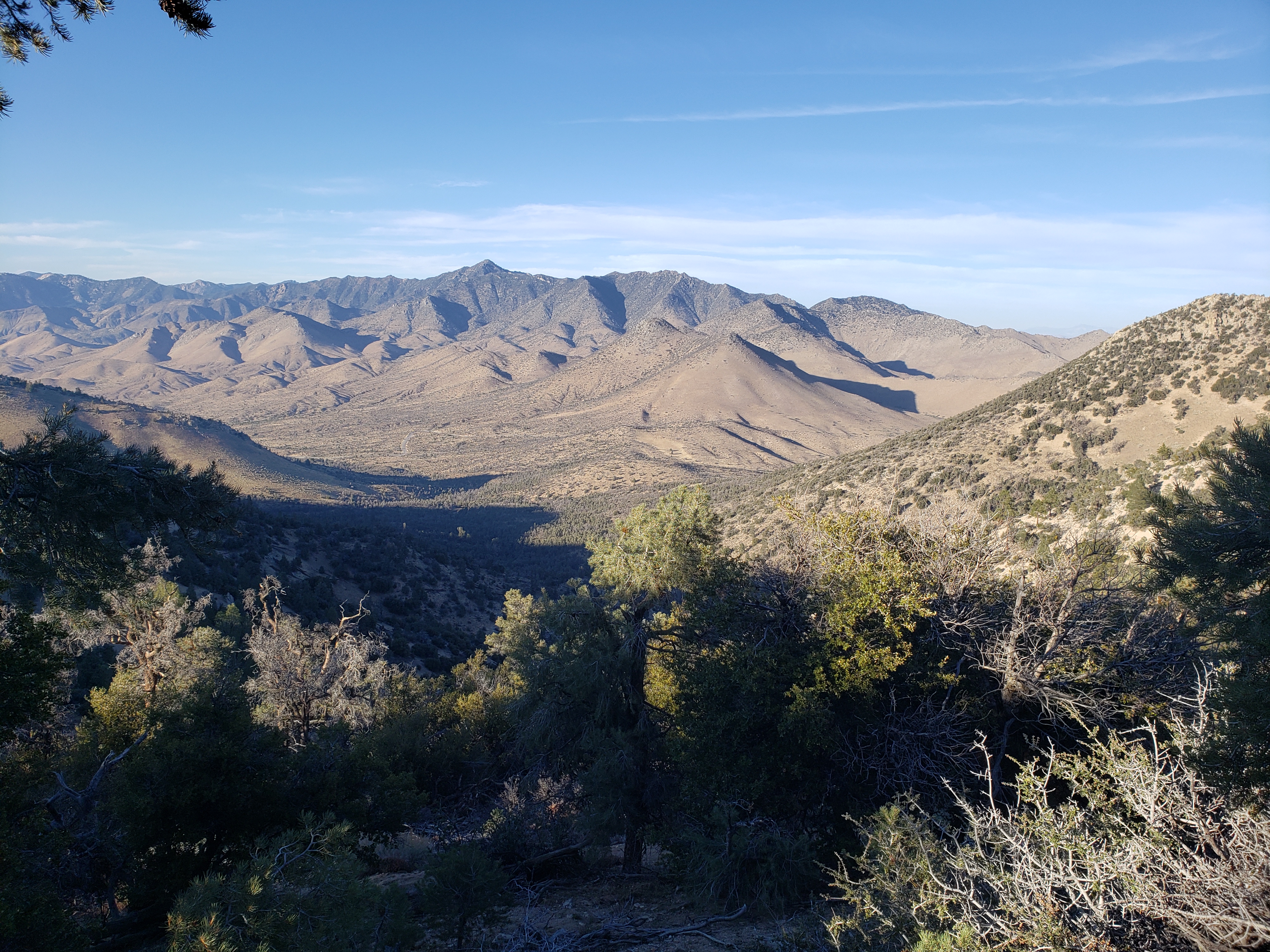
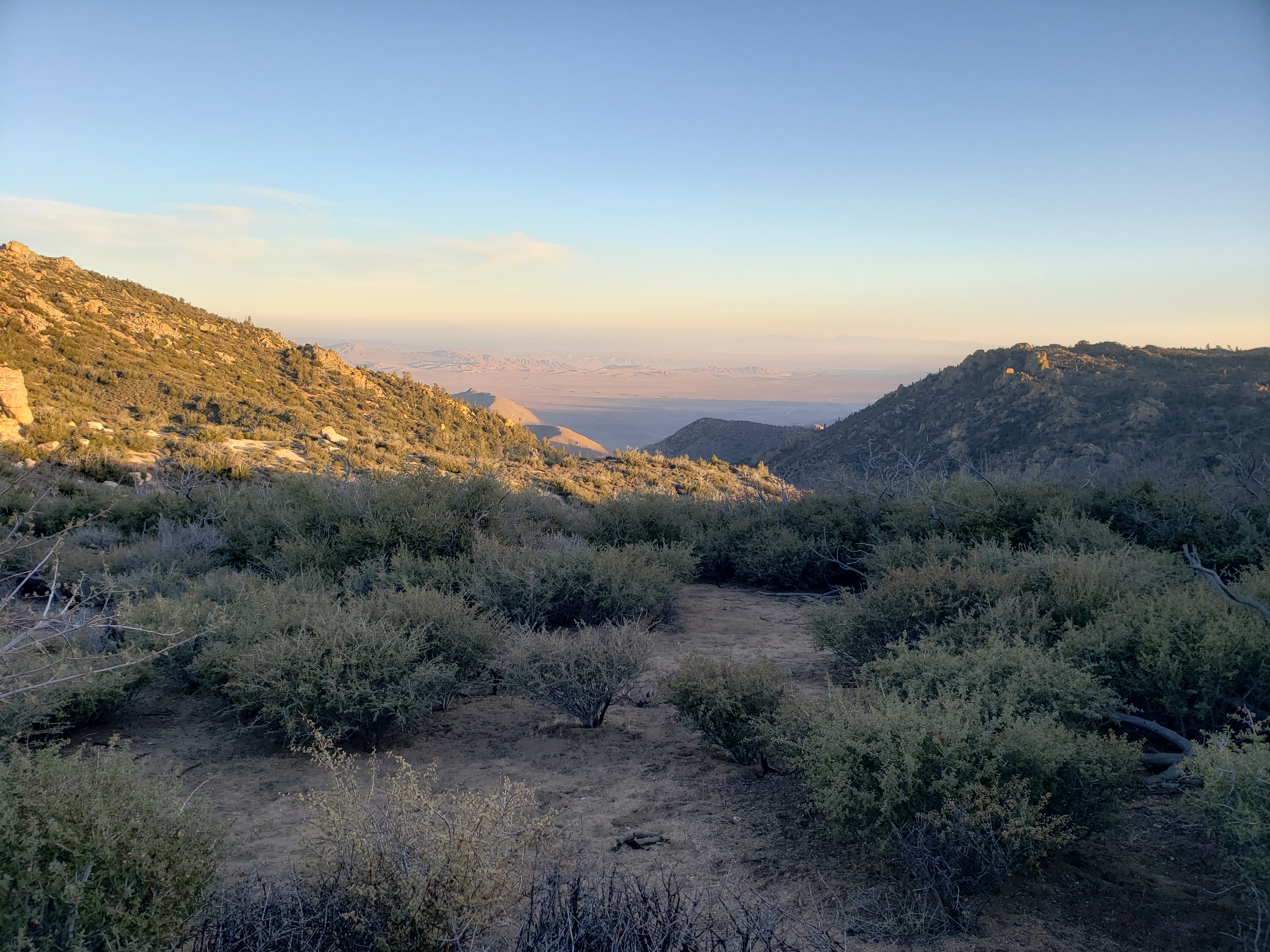
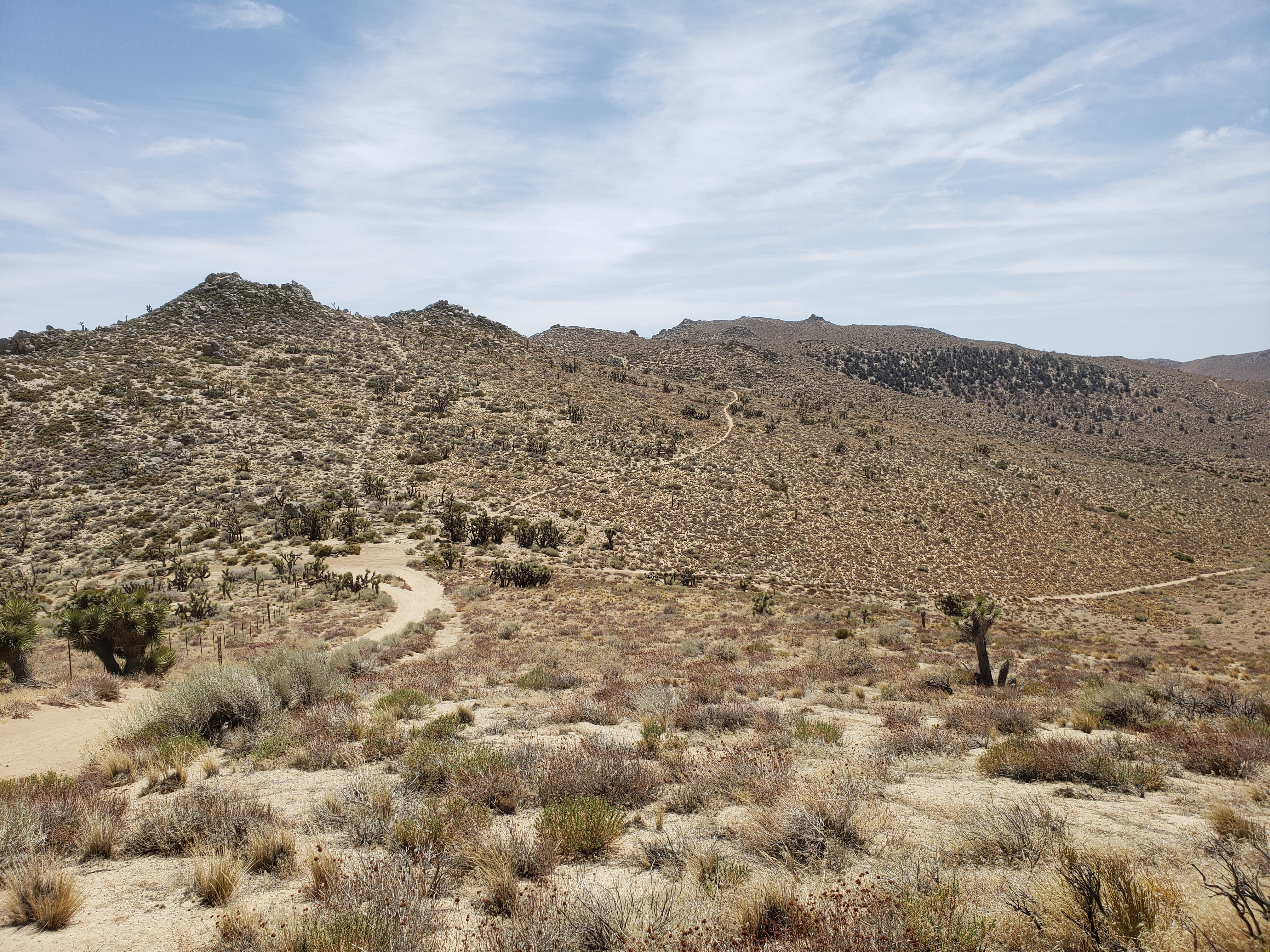
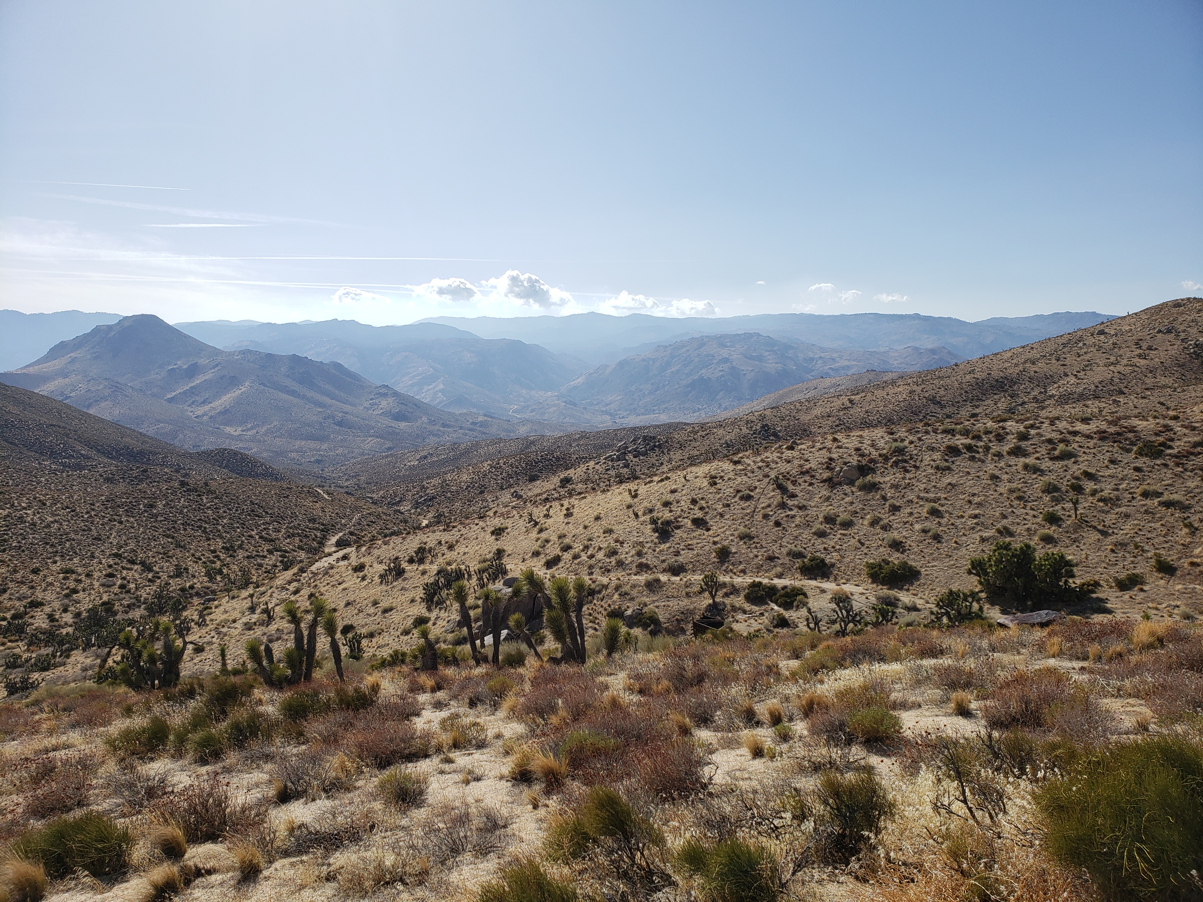
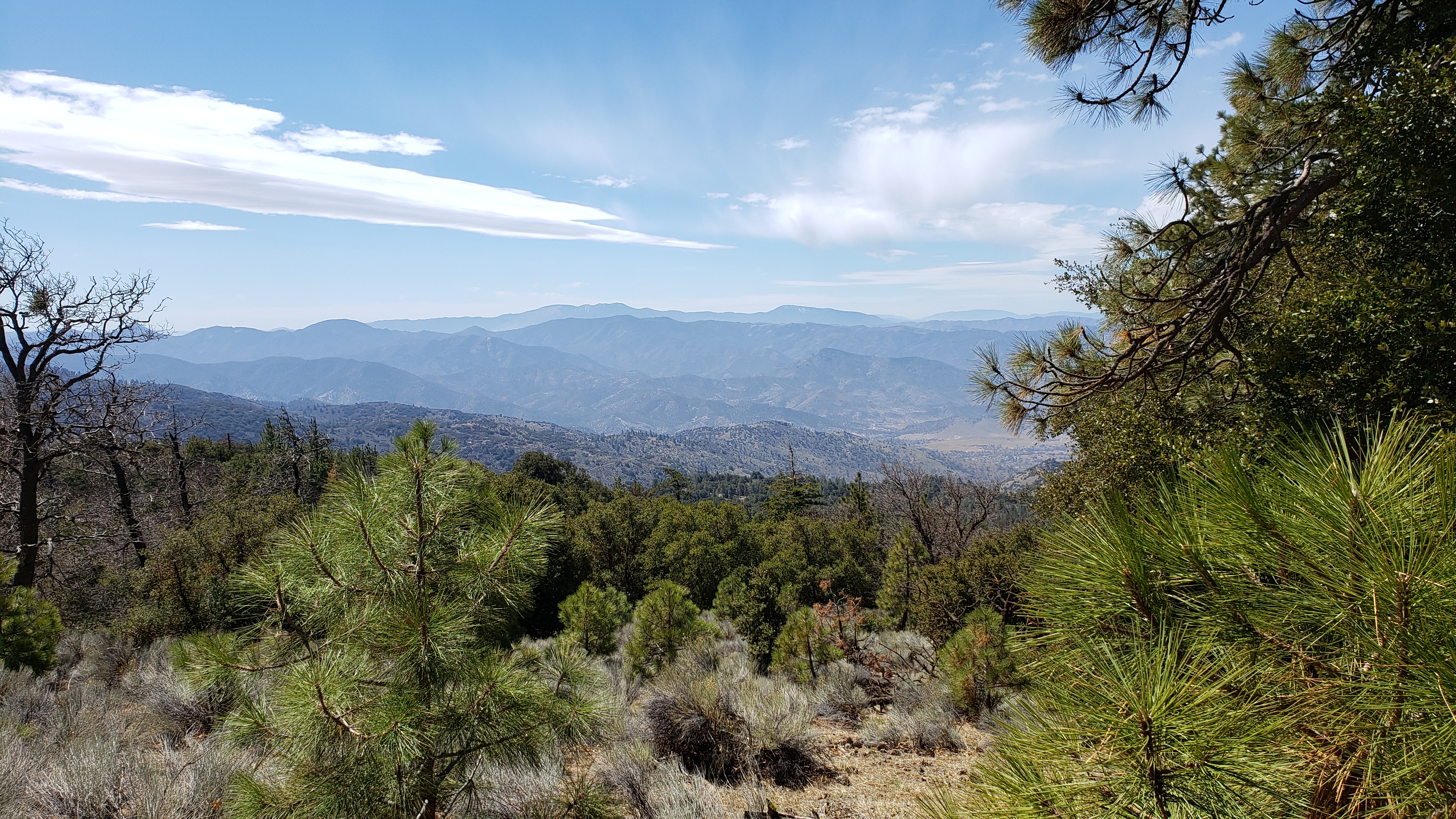
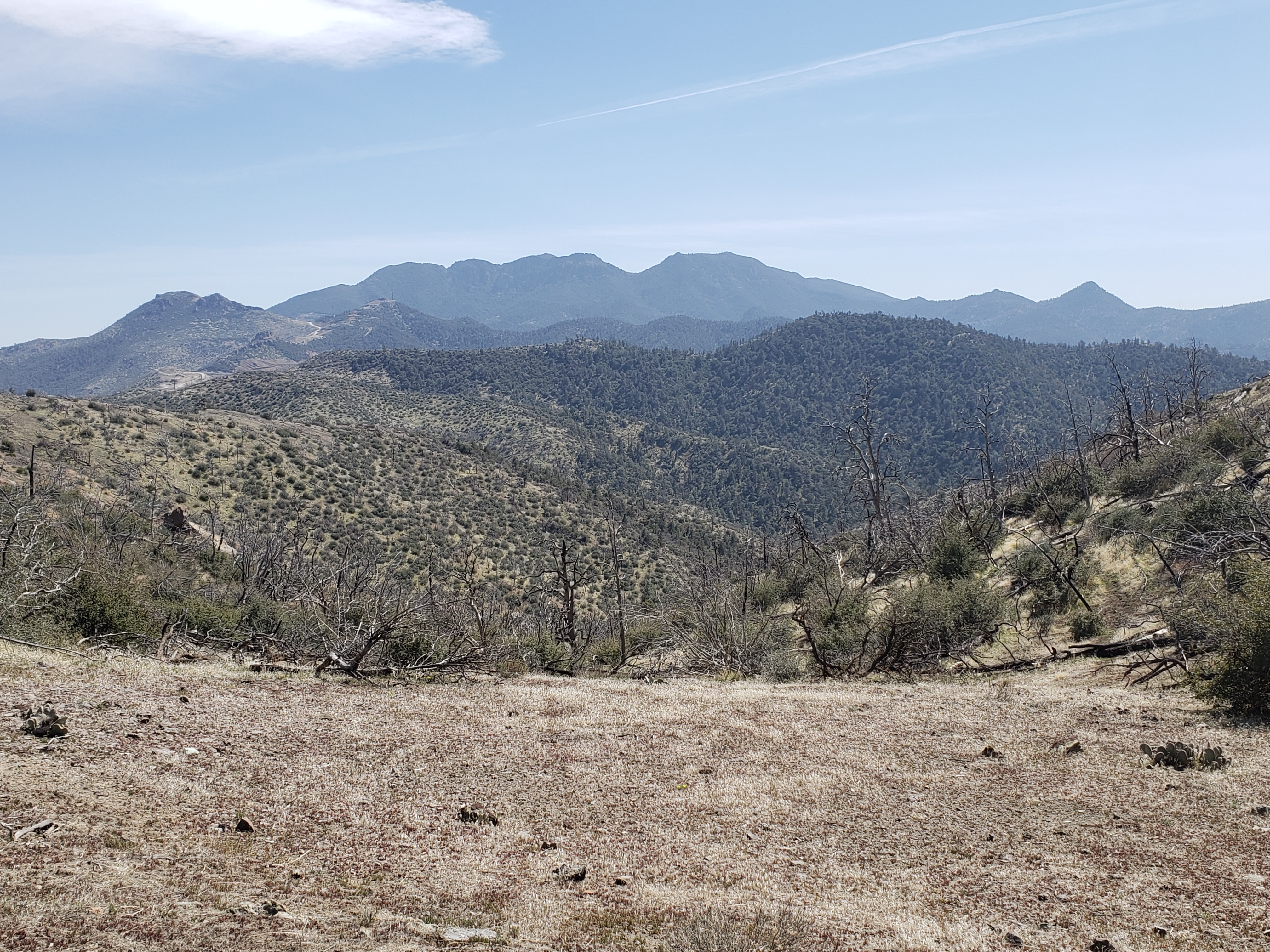
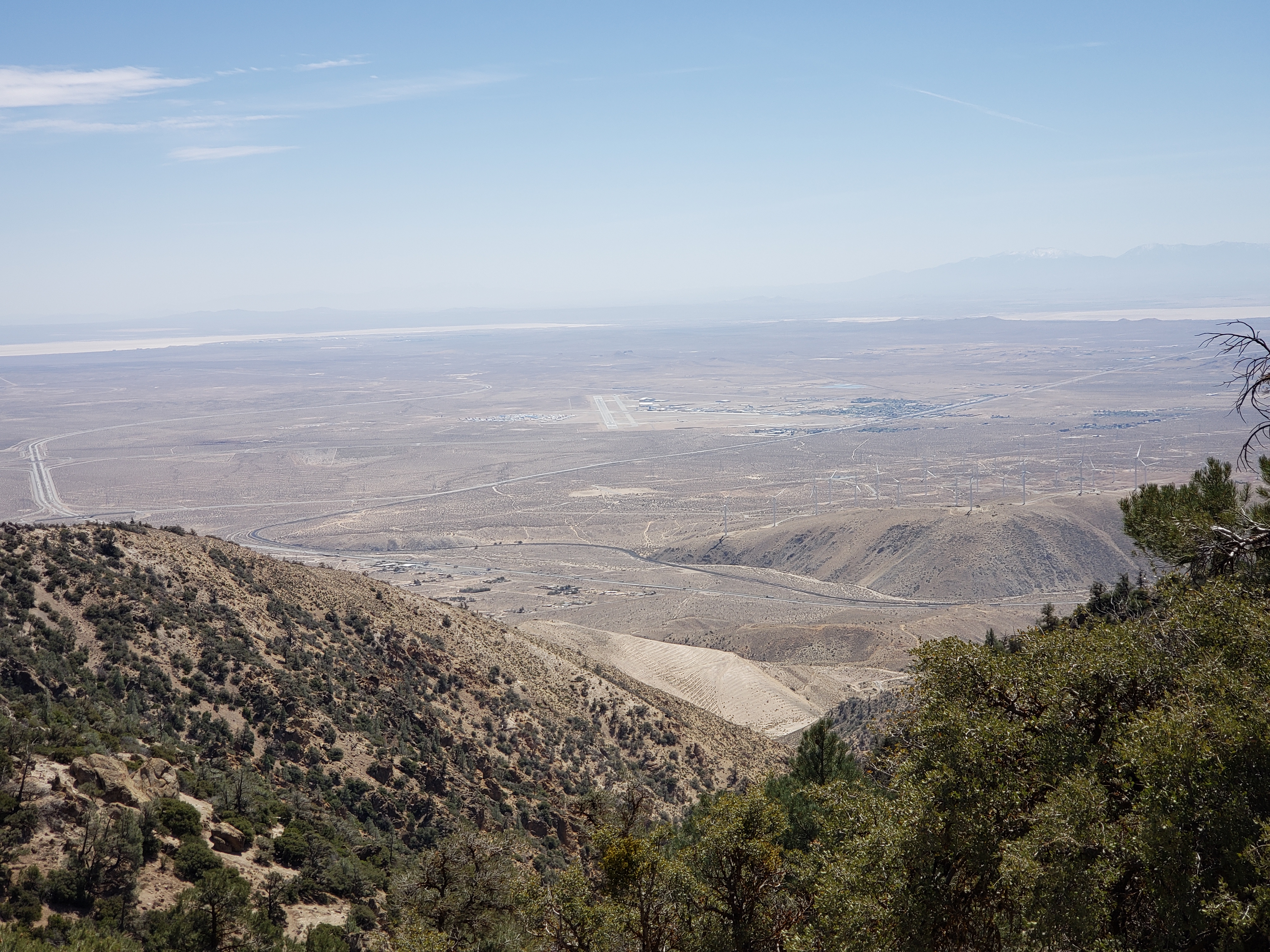
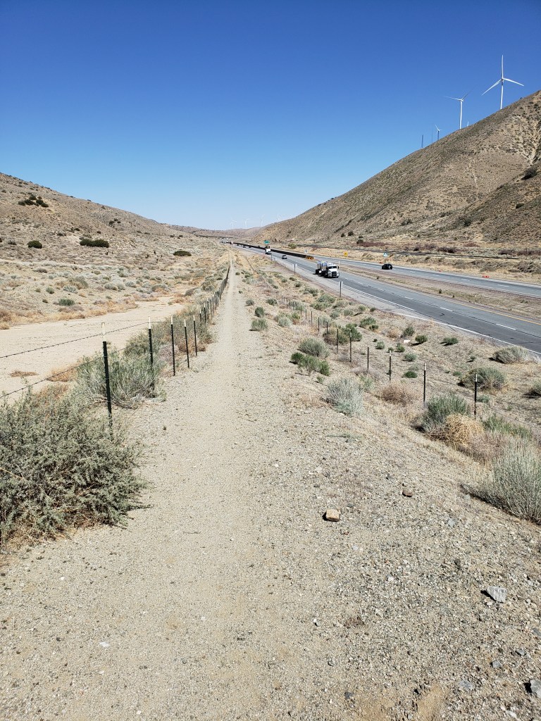
In Southern California, the PCT often has to cross valleys to get from one mountain range to another. That’s particularly the case south of Tehachapi where the Trail has to cross the Antelope Valley.

Looking south across the Antelope Valley

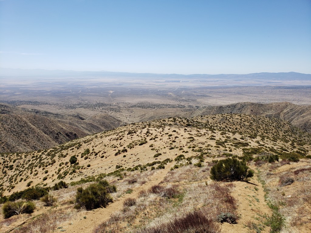
The Antelope Valley is high desert. The altitude where the PCT crosses is 3000 feet plus or minus.

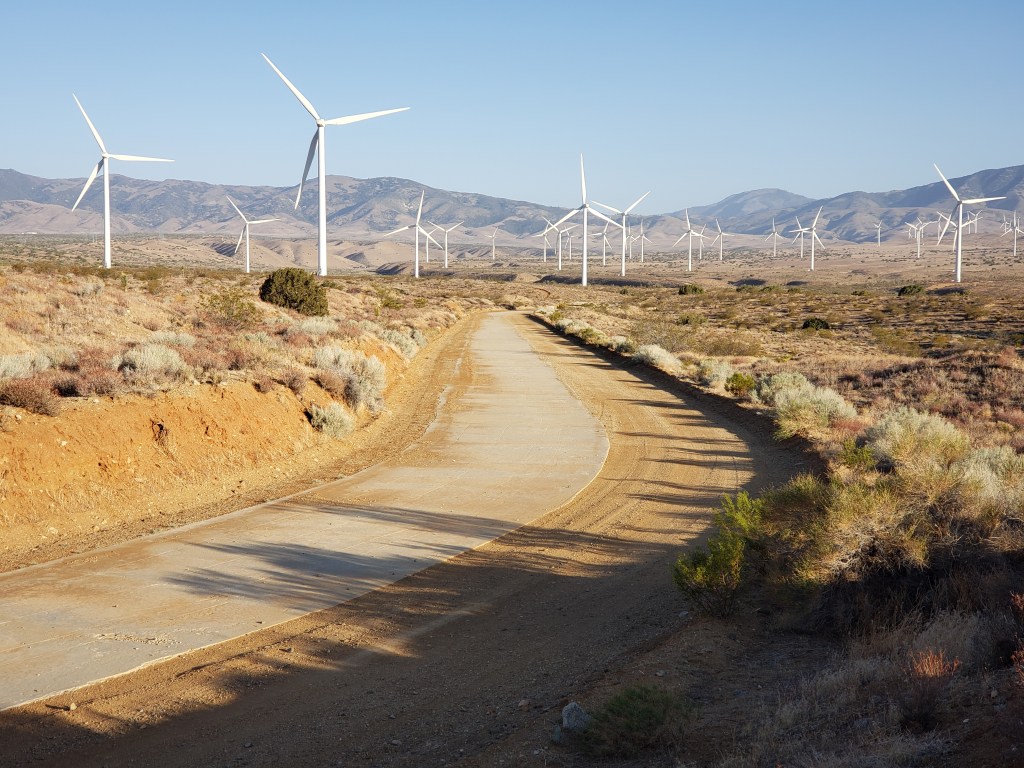
It’s about 17 miles as the crow flies from the Tehachapi Mountains at the north to the Sierra Palona at the south, but 22.5 miles on the Trail because the PCT has to make use of primarily north/south and east/west dirt roads to make a diagonal northwest to southwest crossing.

A dirt road in the Antelope Valley, which also serves as the PCT

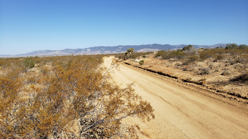
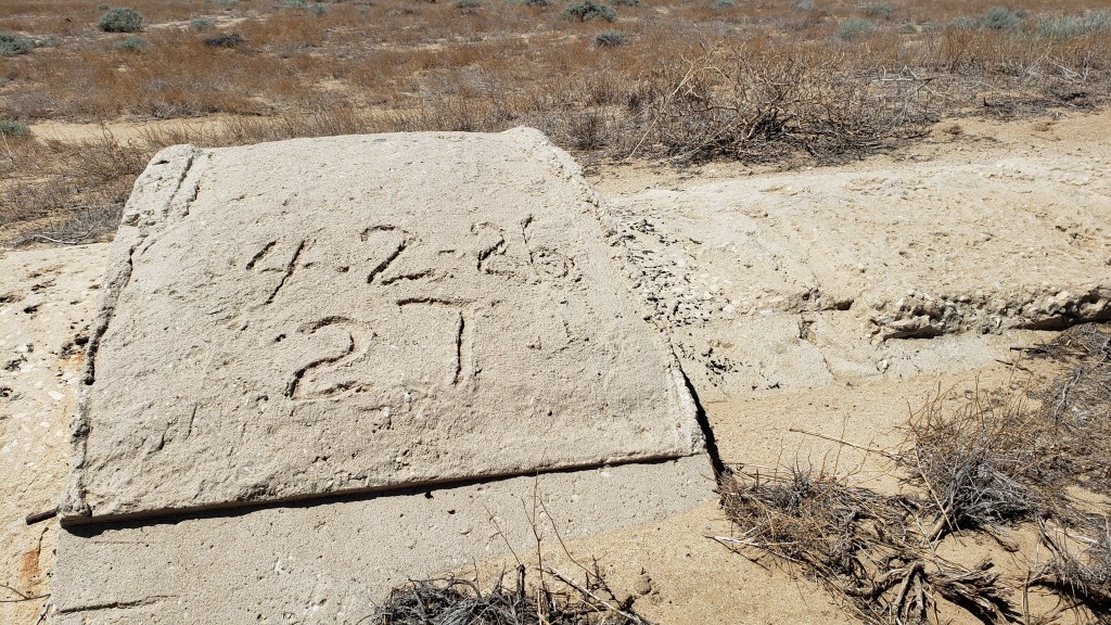
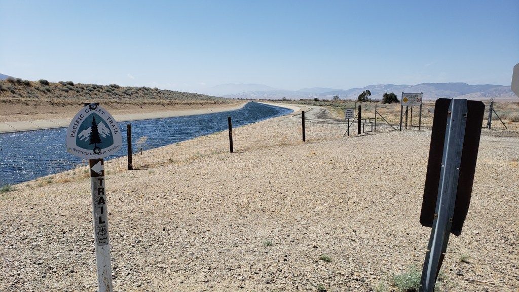
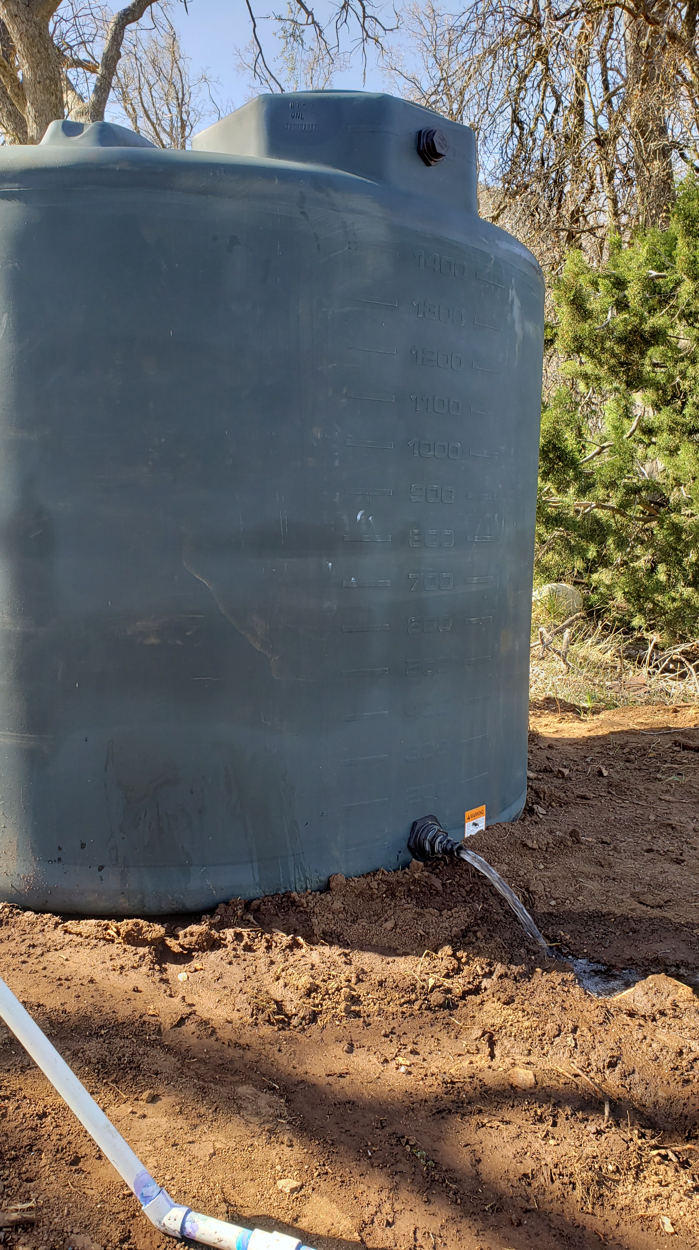
Most of the time the road the PCT is using runs right along the concrete-covered Los Angeles Aqueduct.

Wind turbines at the rear, concrete-covered LA Aqueduct in the middle, dirt access road (and PCT) to the right.

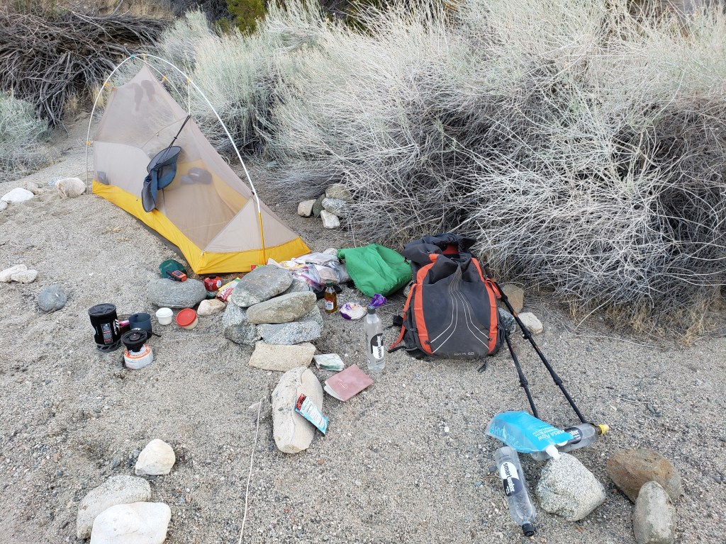
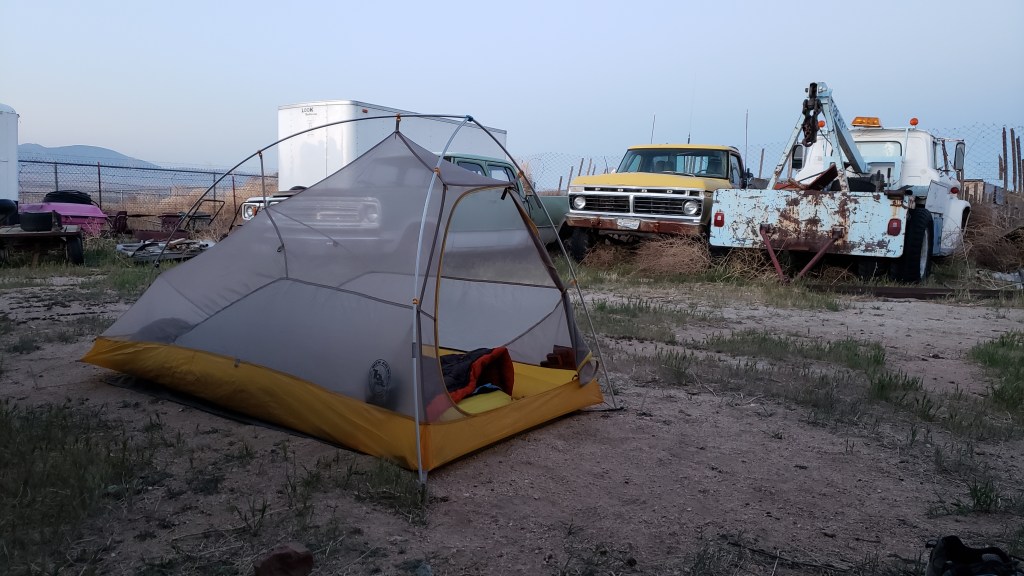
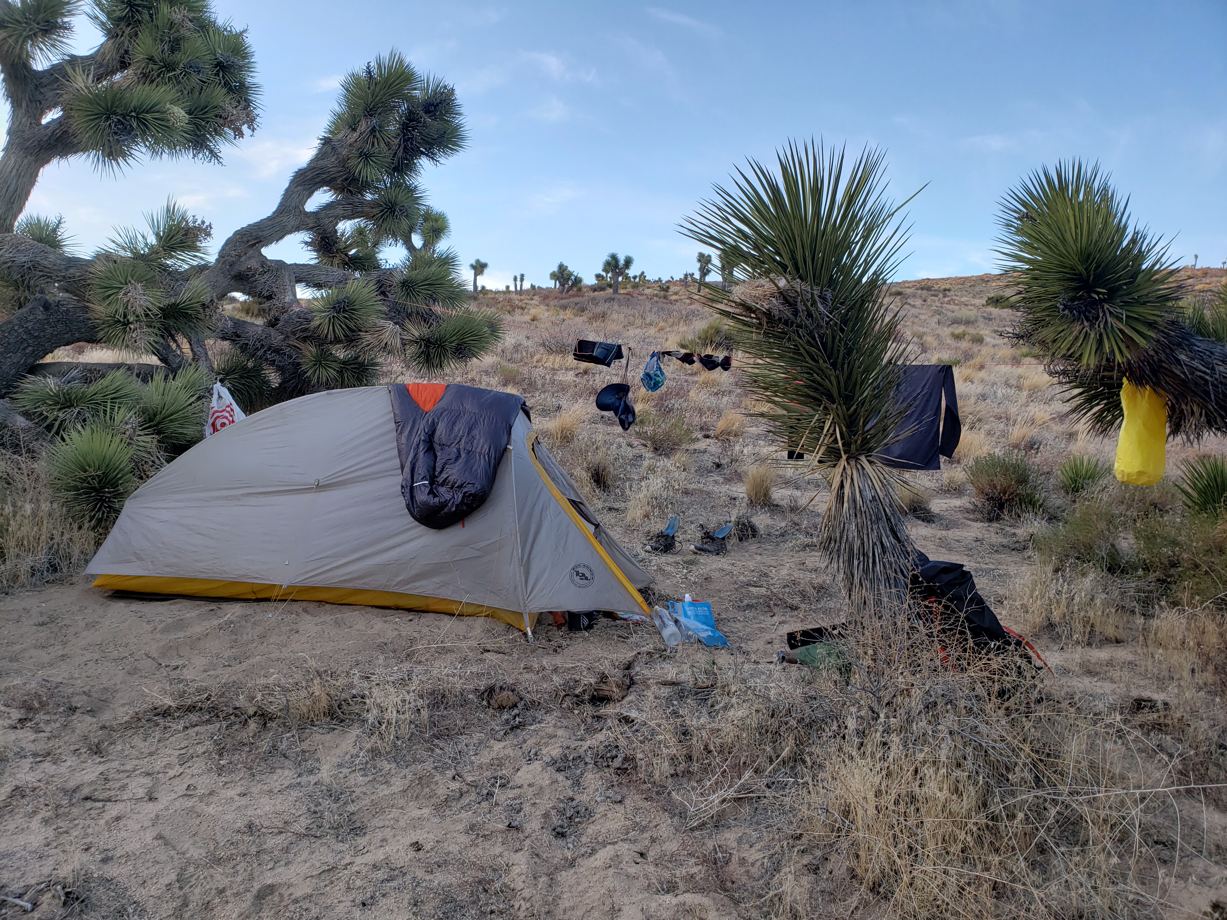
Since it took me more than a day to cross the Antelope Valley, I camped beside the Aquaduct one night.

The stacked rocks are an improvised chair I created to make eating and cooking easier

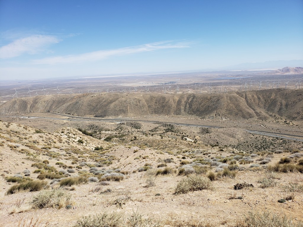
At the south end of the Valley the Aquaduct transitions from concrete vault to concrete pipe to steel pipe to cross the lowest part of the Valley.

Concrete pipe joint. Note the date, 4/2/26. 27 is a sequence number. To the right was joint number 26. To the left (closer to LA) was joint number 28.

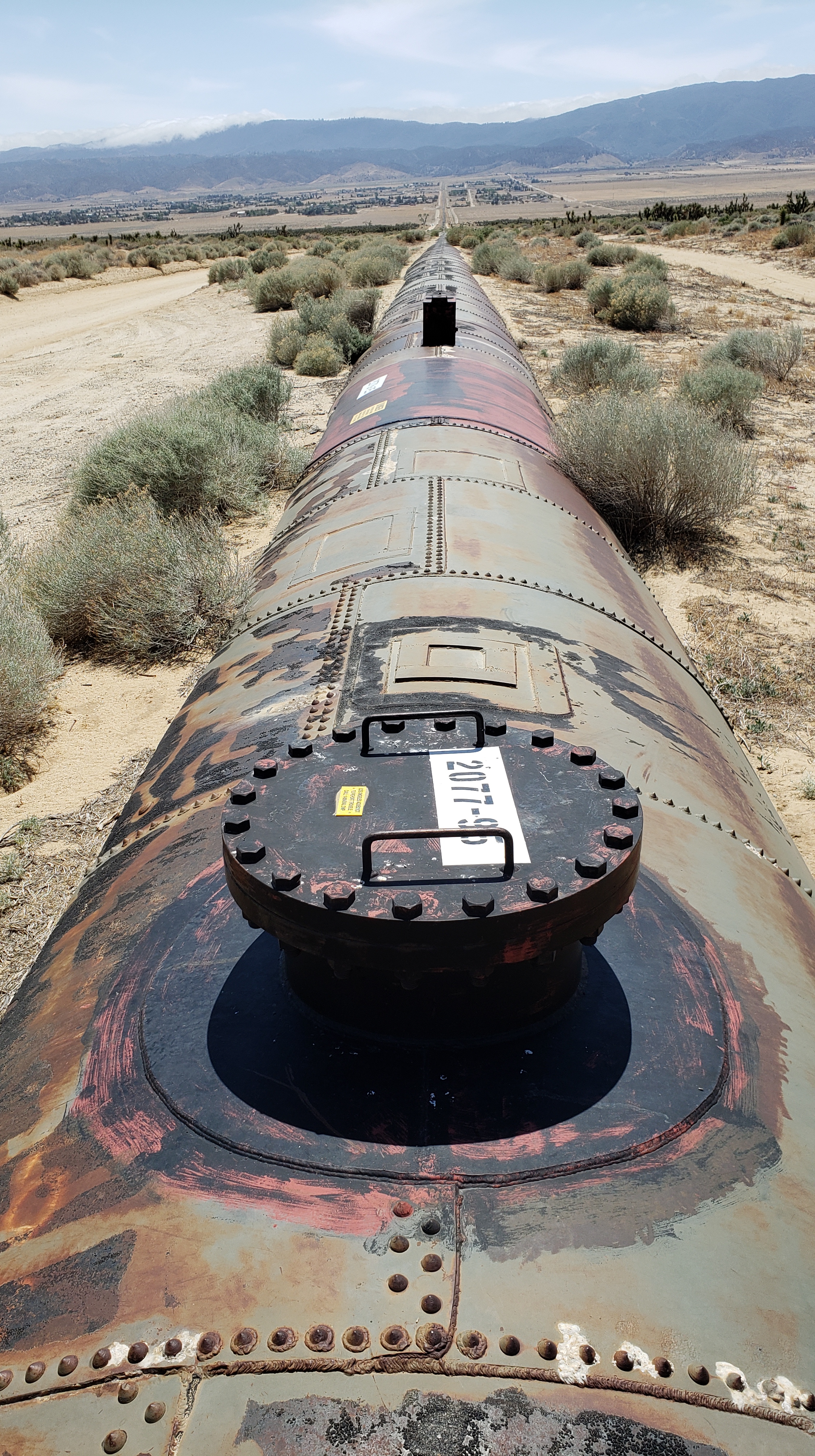
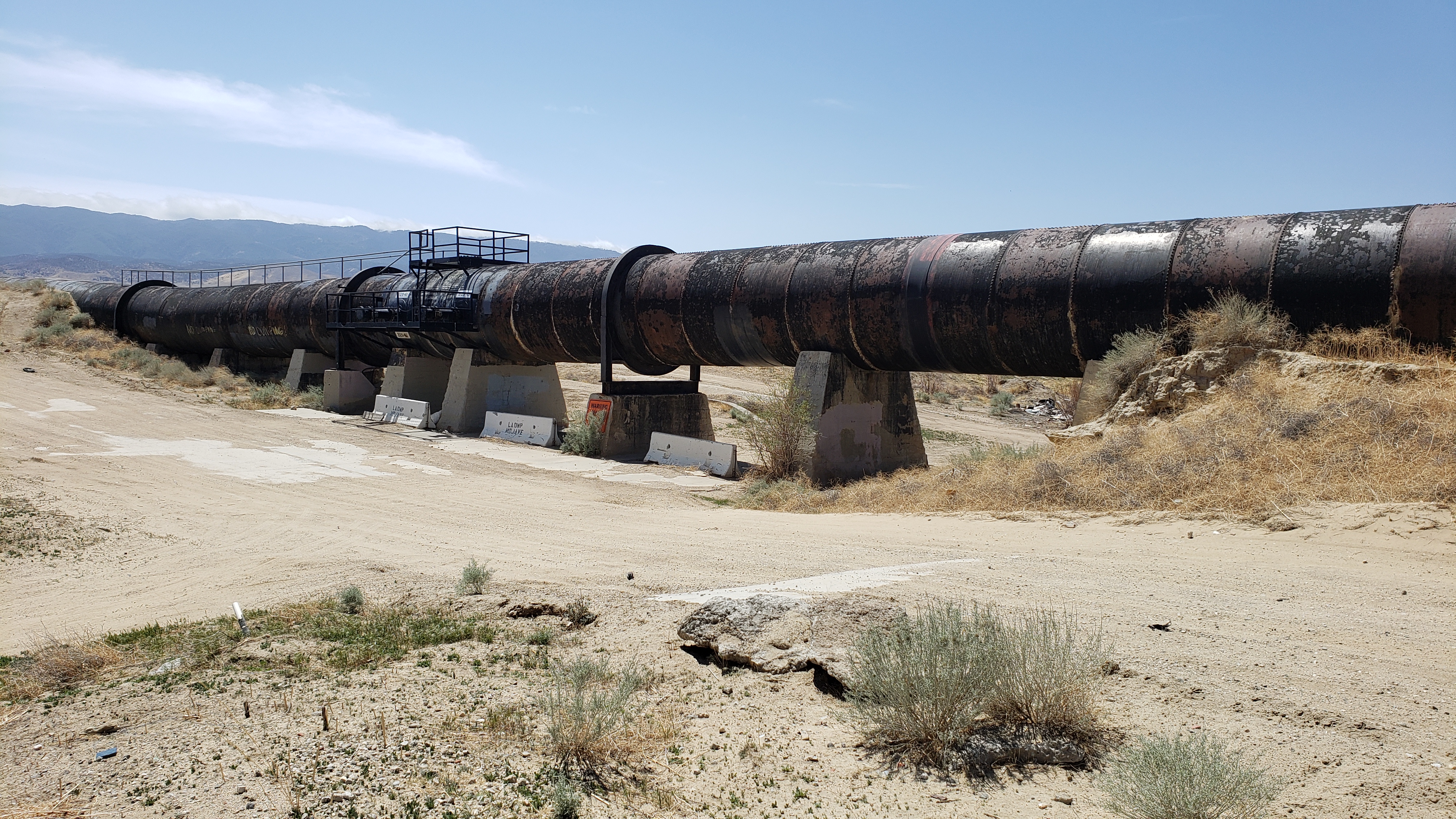
This pipe section of the Aquaduct is a siphon which allows the Aquaduct to cross low-lying ground. As we learned in grade school, water always seeks its own level. The altitude at both ends of the siphon is the same even though the altitude in the middle is lower. The water inside the pipe is able to flow from one end of the siphon to the other without any pumping. Heavy metal and rivets are used for the siphon so that the pressure of the water within the pipe doesn’t burst it.

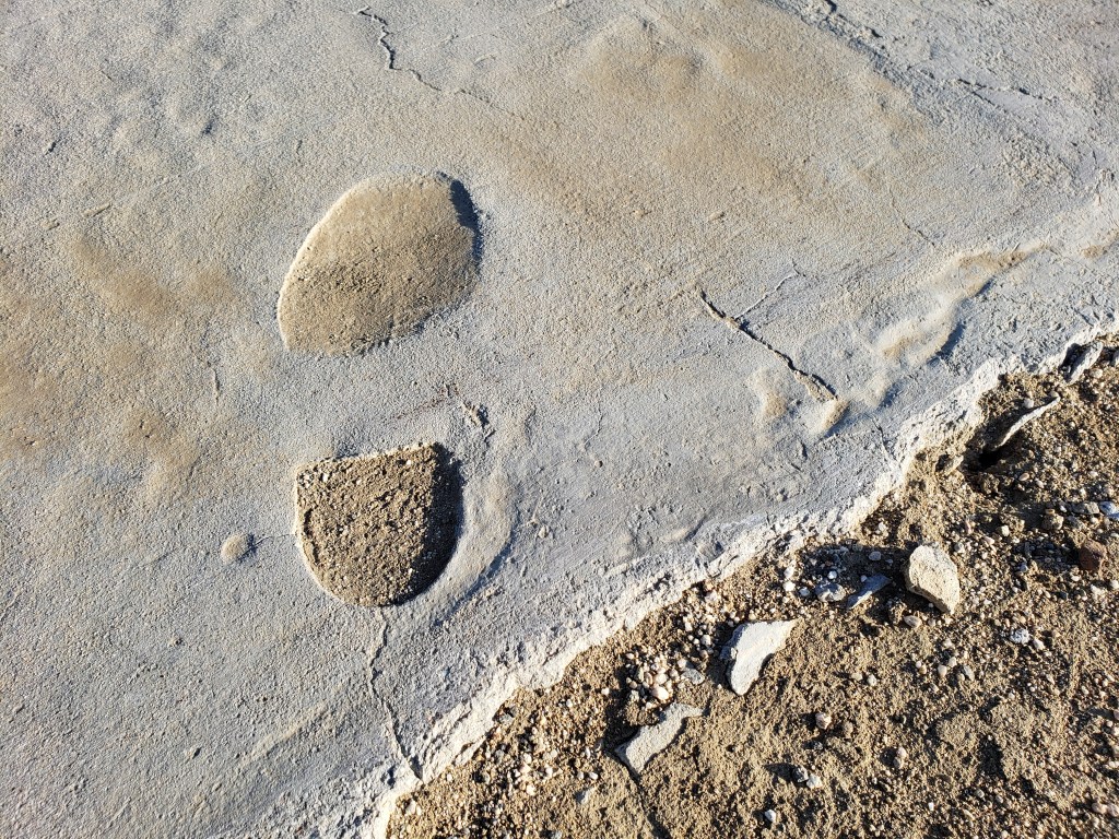
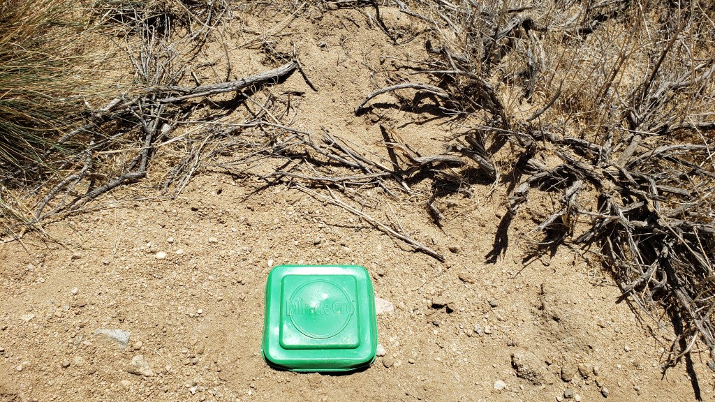
While I’m writing about the Aquaduct, here’s a photograph of a footprint made in the wet cement years ago. The foot and shoe clearly belonged to a big-wig coming to inspect the work progress. He didn’t have the good sense not to step in concrete. I write big-wig because of the smooth leather sole of the shoe. That’s not the sole of a work boot.

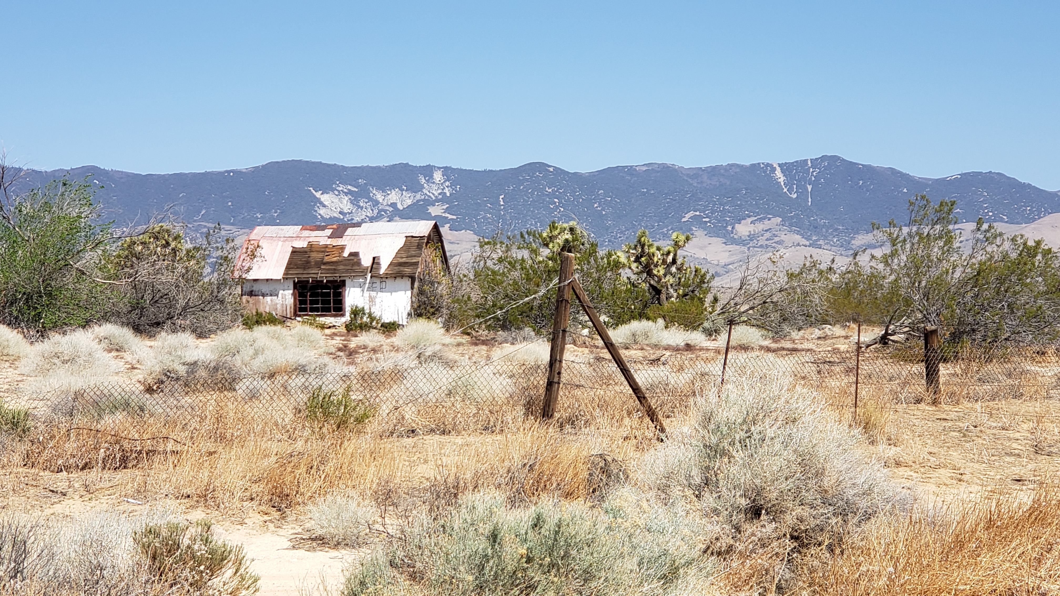
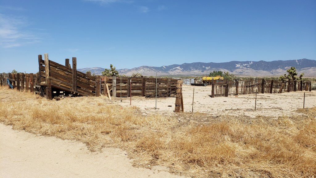
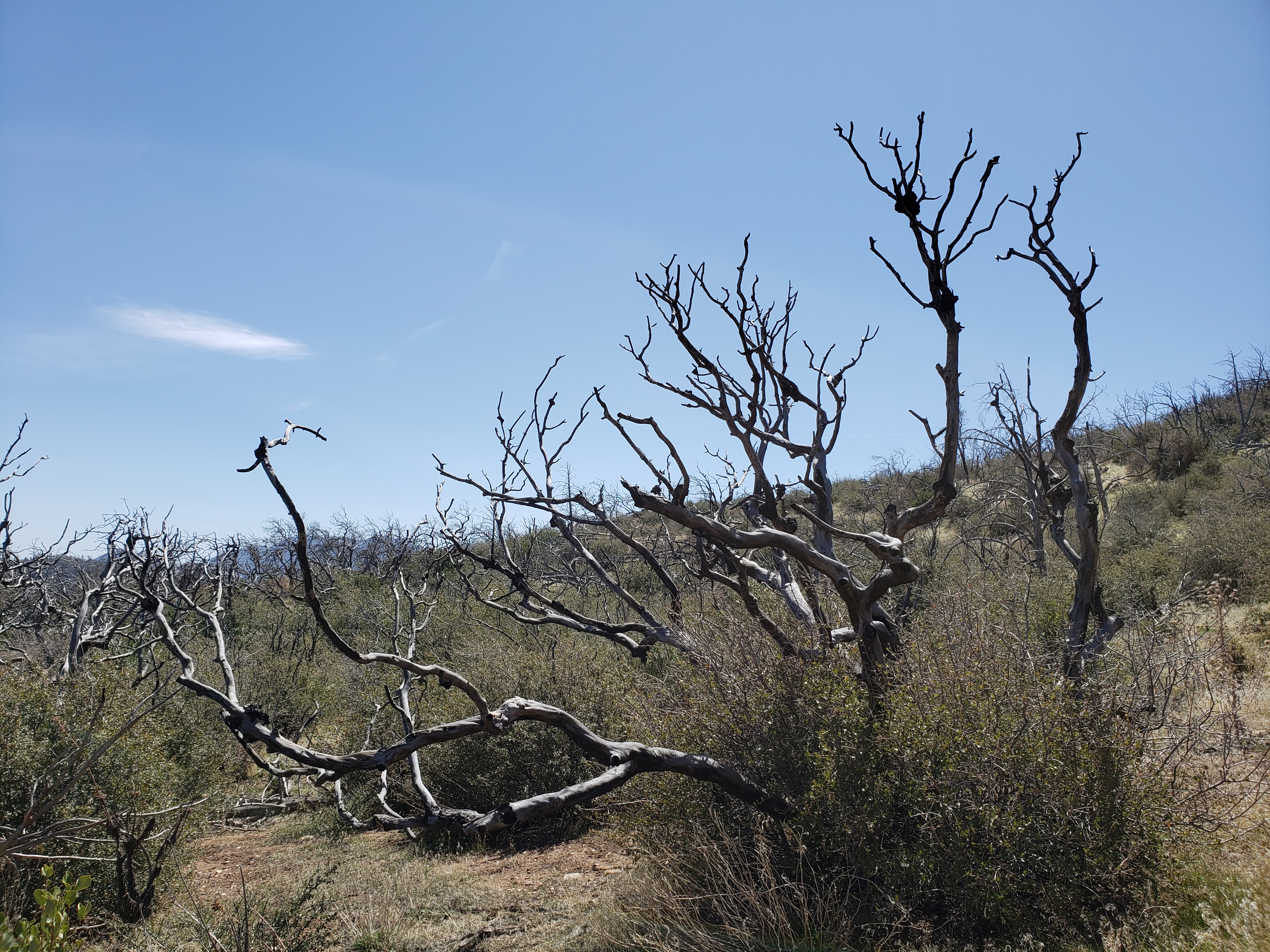
The desert is an interesting place. It seems to be where trailers come to die and homes to fall apart.

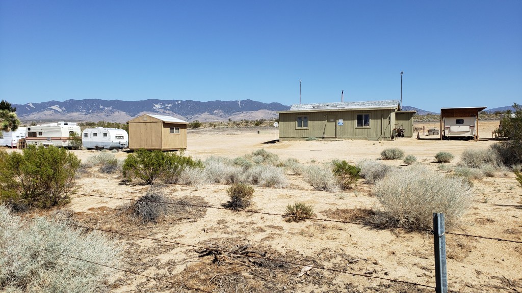
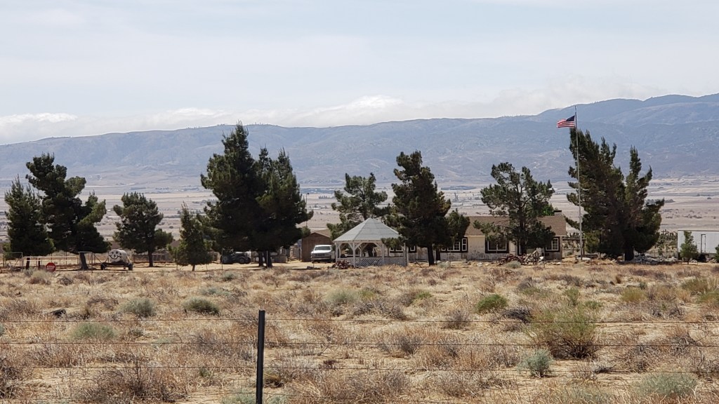
Not all the homes are in such bad shape, however.

When I move to the dessert, I want a gazebo so I can enjoy a mimosa in the shade at the beginning of the day and a mint julep in the shade at the end of the day.

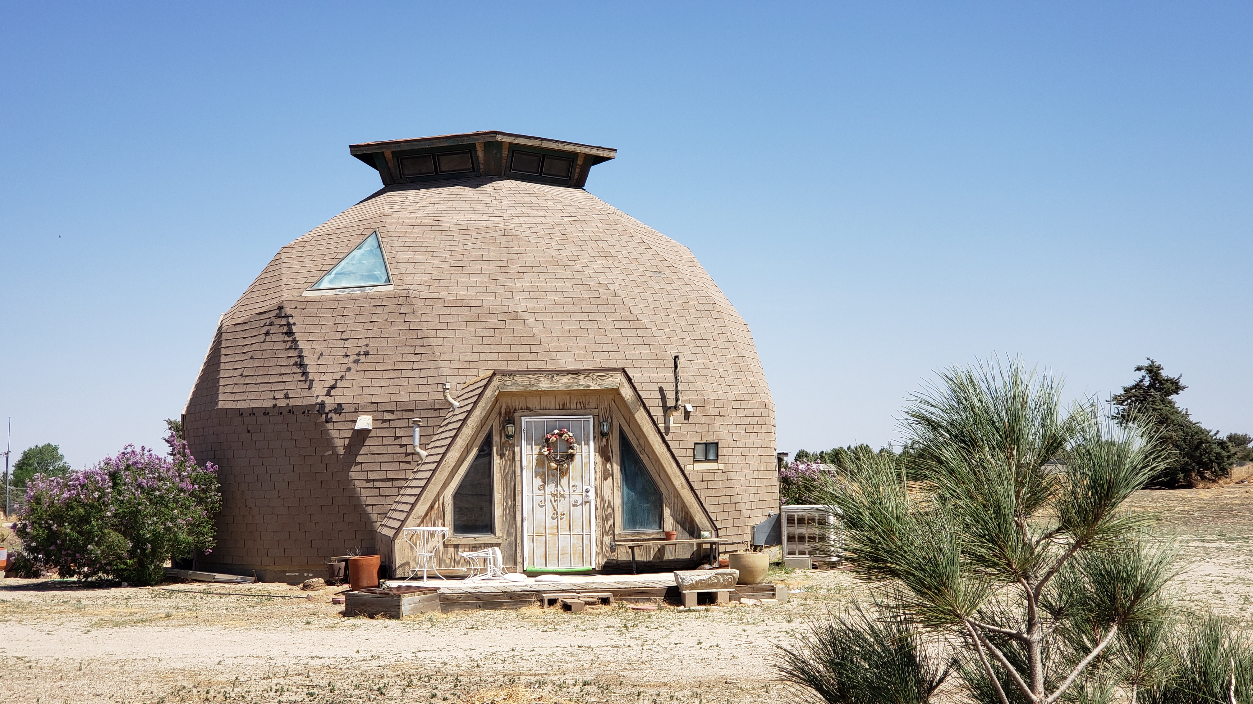
The geodesic dome home. Never out of style, according to this homeowner.

Even though the Antelope Valley is desert, grazing takes place in the winter.

Cattle pen. The yellow object at the rear is a large water tank on wheels. (Water is brought from elsewhere.) The tank is connected to a trough for the cattle.

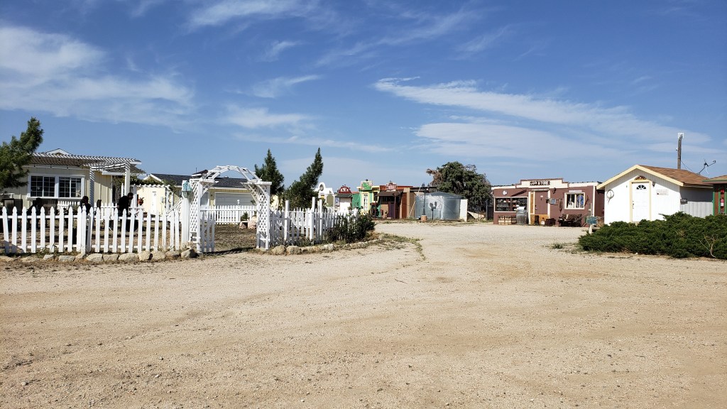
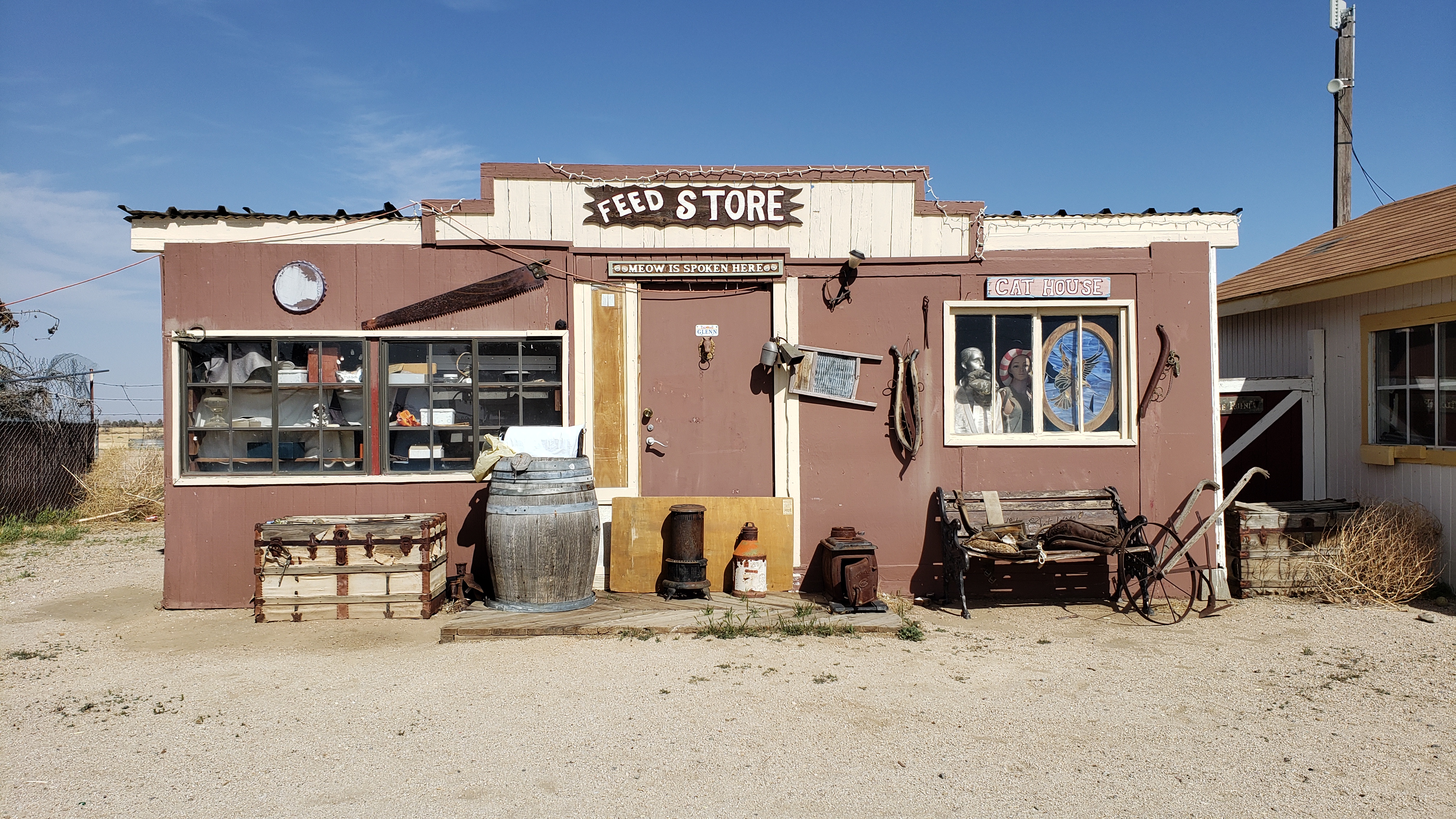
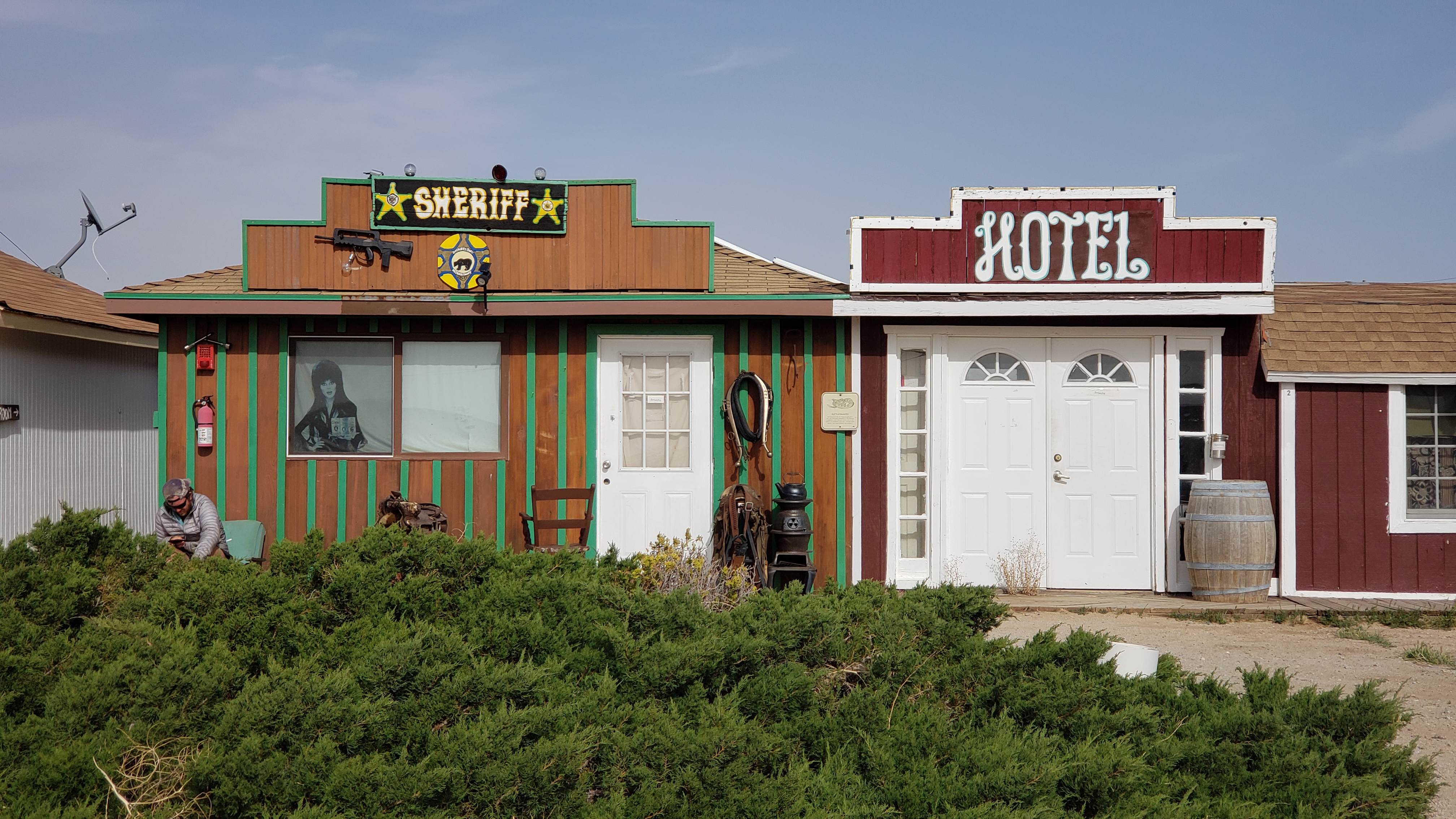
As mentioned in another post, I’m staying at Hikertown tonight. I leave the Antelope Valley tomorrow morning.

Getting close to the mountains again

Just before I reached Hikertown, I crossed the California Aquaduct.

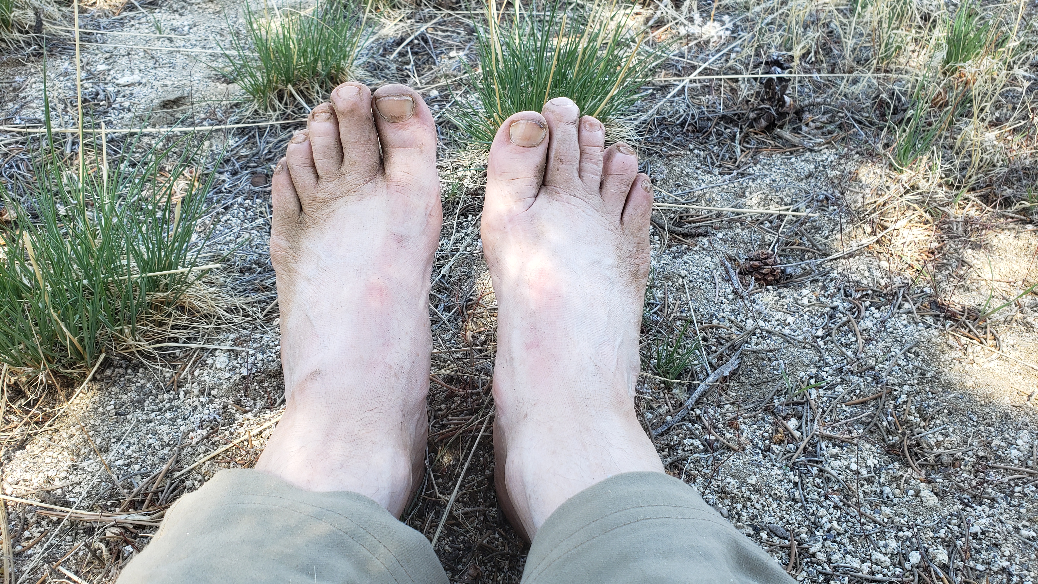
One last photograph.

I think its going to take more than Miracle Gro

Hikertown

c) Andrew Carter, 2021

I made it across Antelope Valley, aka “The Desert,” and I’m spending the night at Hikertown. It’s a very odd place. Part hostel, part commune, part carnival fun house? I’m not sure how to describe it. Here are a few photographs:

Some of the little buildings have beds inside them. Unfortunately, they’re all occupied, so I’ll have to sleep on the ground in my tent. C’est la vie.

I’m camping next to the other old jalopies

I may not have a bed for the night, but I did get a hot shower, so I’m satisfied.

Cafe 549 — 5 stars!

c) Andrew Carter, 2021

Occasionally in life and on the trail, something will completely overwhelm you in the sweetest, most wonderful way. Cafe 549 at mile 549 of the PCT (counting from Mexico) is the place. It’s seemingly in the middle of nowhere, but actually at the end of a jeep road, which explains how all this water, food, cookies, candy, popcorn, fruit, magazines, books, Scrabble game, fuel canisters, folding chairs, and patio umbrella got here.

And did I mention 5G cellphone reception and an incredible view? Enjoy the pictures.

The view from Cafe 549

My first week (with lots of photos)

c) Andrew Carter, 2021

In the first 6.5 days of my hike, I covered 86.7 miles of the trail from Walker Pass to Tehachapi. That’s 13.3 miles per day.

My shortest day was the first day when I covered about 5 miles in 3.5 hours, climbing the entire way.

My longest day was the last day when I covered 16.1 miles in 8 hours. That included a long downhill stretch at the end.

Allowing for breaks, my normal hiking pace is about 1.5 to 2 miles per hour. But if there is a steep climb, I may struggle to complete one mile in an hour.

The first 3.5 days, I was exhausted all the time. The fourth day, I started to find my hiking legs. By the fifth day, I was truly enjoying myself.

After a zero day today in Tehachapi, I’ll be back on the trail tomorrow morning. The next major road crossing will be in 47 miles. That’s Route 138 which connects Aqueduct. The I-5 near the top of the Tejon Pass with Lancaster. Part of the way, I will be walking on top of a buried portion of the California Aquaduct.

There’s little shade along this entire section. Sometimes hikers will hike the southern portion at night to avoid high temperatures. Fortunately for me, the weather report is calling for temperatures in the 70’s. Nonetheless, it can be brutal in the sun even at these temperatures. I’m glad its also supposed to be … you guessed it, windy.

Here are some photos from my first week.

Me at Walker Pass
Joshua trees along the trail
My Joshua tree campsite, end of Day 3
Kelso Valley Road
Dirty feet
Still some snow in places
The interplay of light and shadow
I hiked off the trail to the “sheep ranch” for water. No sheep, but one large bull.
The water tank at the “sheep ranch”
Dead trees. I’ve passed through many fire zones.
Golden Oak Spring, end of Day 6
Yes, I do on this section of trail, at least tonight
Mohave view
Feeling like 100 Grand

Sir Huff ‘n Puff?

c) Andrew Carter, 2021

Let’s be clear. Gravity is a b*tch, particularly for us older, more mature hikers. Curse you, Sir Isaac Newton.

I sometimes think that my hiking name should be “Sir Huff ‘n Puff” because the slightest incline sets me huffing and puffing as I climb.

When I was a boy hiking with my dad, I could never understand why he got winded so easily. Now, I do understand. On every climb, we’d have to stop numerous times so that he could take a “blow,” as he called it.

Today, when I hike with my son, our understanding is that he’ll power to the top of a climb by himself and wait for me there to catch up. He keeps reading material easily at hand to fill that waiting time.

For those of you who read the headline and thought of marijuana, shame.

After a climb, recuperating on my back in the shade

What’s that sound?

c) Andrew Carter, 2021

It’s the wind, but also the sound of electricity. At the end you’ll hear the sound of a wind turbine rotating.

The portion of the Sierra from Walker Pass to Tehachapi and south divides the Central Valley and the Mohave Desert. Even though the Valley can be hot, the Mohave is hotter and it pulls air from the Valley to the Desert throughout the year, creating strong winds along the ridges. When those winds are funneled through passes, as at Tehachapi, they become stronger still.

Wind farm development in the area began in the 1980’s and is on-going. Today, there are over 5000 wind turbines near Tehachapi, producing over 3.5 million megawatt hours of electricity per year.

On the third day of my hike, the winds were so strong that I was buffeted about whenever I was on the west side of the ridge. At times, I was staggering like a drunkard, trying to fight the wind to move forward.

On the sixth day, I passed through a construction zone where new wind turbines are being installed. You’ll see a map of that area below and a photo of some of the earthmoving equipment being used to build access roads and turbine platforms.

Zero day, Tehachapi

c) Andrew Carter, 2021

I’m taking a “zero day” today in Tehachapi. A “zero day” is when a hiker takes the entire day off and doesn’t hike. “Zero” is used because the hiker hikes zero miles that day.

A related term is “nearo.” That’s when a hiker hikes only part of the day. “Nearo” is used because the hiker hikes nearly zero miles.

I hiked 16 miles yesterday to reach Tehachapi. It was my longest trail day to date.

The PCT crosses California Rt. 58 about 10 miles outside of town. Marta drove down from Hanford and picked me up at the trailhead. Then we had dinner together and spent the night at a local motel. I can tell you I enjoyed every bite of my 12-ounce steak dinner and every drop of my ice cold 20-ounce draft beer.

This morning, after breakfast, Marta drove me to Wally World so that I could “resupply.” Thats the term used when a hiker heads into town to buy groceries and other necessary supplies.

I also stopped at Big 5 to buy a new elastic knee support. I wear these on both knees as a precautionary measure. One of my old ones had stretched over time and kept slipping down my leg as I walked.

After these errands were done, we had lunch together, and then Marta drove home to Hanford. That left me the rest of the day to write new blog posts, download maps for the next trail section, and take care of other necessary business before heading back out on the trail first thing tomorrow morning.

One aspect of a zero or nearo is that your body, particularly my 64-year-old body, has the opportunity to tell you how tired it is. I’ve been walking around all day in a haze. Some people call this “hiker hangover.” I’ve also been experiencing “hiker hobble.” That’s when your sore feet cause you to hobble around as if you are trying to get back your “land legs” after months at sea.

If you don’t know this already, Tehachapi is wind turbine central. It’s almost always windy here because the hot Mohave Desert to the east pulls the air from the cooler Central Valley to the west.

Enlarge this photo to see the wind turbines

It’s a dry country…

c) Andrew Carter, 2021

But oh, so beautiful.

When most people think of the Sierra, they think of the beauty of Yosemite — waterfalls, forests, granite. That’s not the case this far south. The mountains are dry. Lots of sand, sage brush, and an occasional Joshua tree.

It’s so dry that water can be a problem. Fortunately there are “trail angels” who leave water caches like this one:

Otherwise, I’d have to get off the trail and walk several miles to reliable water infrastructure for grazing cows, as the map below shows. (Given the dryness of the countryside, grazing can only take place in winter.)

I’m posting this from the trail. I’m on a ridge facing the Mohave and I happen to have cell service.

It’s late. I’m tired. Catch you later.

4, 3, 2, 1 …

c) Andrew Carter, 2021

When I chose my starting date, I didn’t realize the date read “4/3/21” as in 4, 3, 2, 1, go! I hope that is auspicious.

Above, you’ll find a picture Marta took of me with my gear and with Mochi, our dog, in front of our house in Hanford before we got in the car to drive to the trailhead at Walker Pass, east of Bakersfield. (No, Mochi isn’t hiking with me.)

The other photo is of Marta and me, having lunch in Bakersfield at Prime Time BBQ. This will be my last “real” meal for at least a week. (Hiker meals don’t count as real.)

I had a heck of a time getting ready for my hike. I didn’t schedule enough time between my last day at work and my first day on the trail. That’s the reason for only two posts before this one. I’ll try to make it up to you, my loyal readers, as I go. But don’t expect any posts for a week due to lack of cell service.

I also had a heck of a time getting out the door this morning. Because of that and the distance between water on the trail in Southern California, I’ll almost certainly camp at the trailhead this afternoon and get started for real tomorrow morning. There’s a small campground with water at the trailhead.

That’s all for now. Happy trails.