Carson Pass to Echo Summit

c) Andrew Carter, 2022

Because of the Caldor Fire last year, I had to skip 14 miles of the PCT between Carson Pass on CA Route 88 near Kirkwood Ski Area and Echo Summit on US Route 50, 10 miles southwest of South Lake Tahoe.

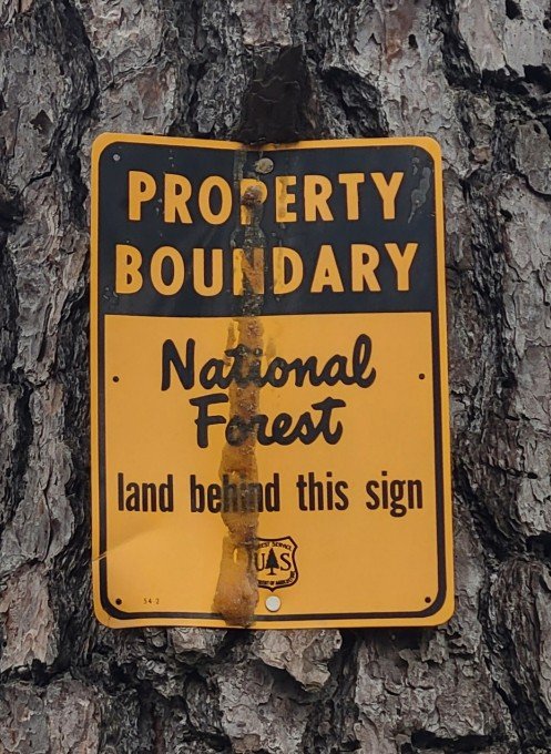
When the fire “blew up,” the National Forest Service closed Eldorado National Forest while I was hiking through it. I skipped ahead to Humboldt-Toiyobe National Forest, which was outside the fire zone and still open.

Over Memorial Day weekend, I had the opportunity to knock off this short section of trail. I drove up to Carson Pass on Saturday, spent the night on the trail, then drove back on Sunday.

I knew there might still be snow in the area, so before heading out I did my due diligence to determine whether this was the case. I don’t own an ice axe or “traction devices” (crampons or microspikes). I didn’t want to hike the trail if there was snow on it. During the freeze and thaw cycle at the end of winter, snow on the trail can turn to ice, making travel difficult on steep slopes, even dangerous.

I consulted SNODAS (Snow Data Assimilation System) maps put together by the National Oceanic and Atmospheric Administration (NOAA). Using remote sensing data and “on-the-ground observation,” SNODAS generates maps which produce “the best possible estimate of [current] snow cover” for any place in the US. The maps for the Lake Tahoe area showed no snow on the trail I planned to hike, so off I went.

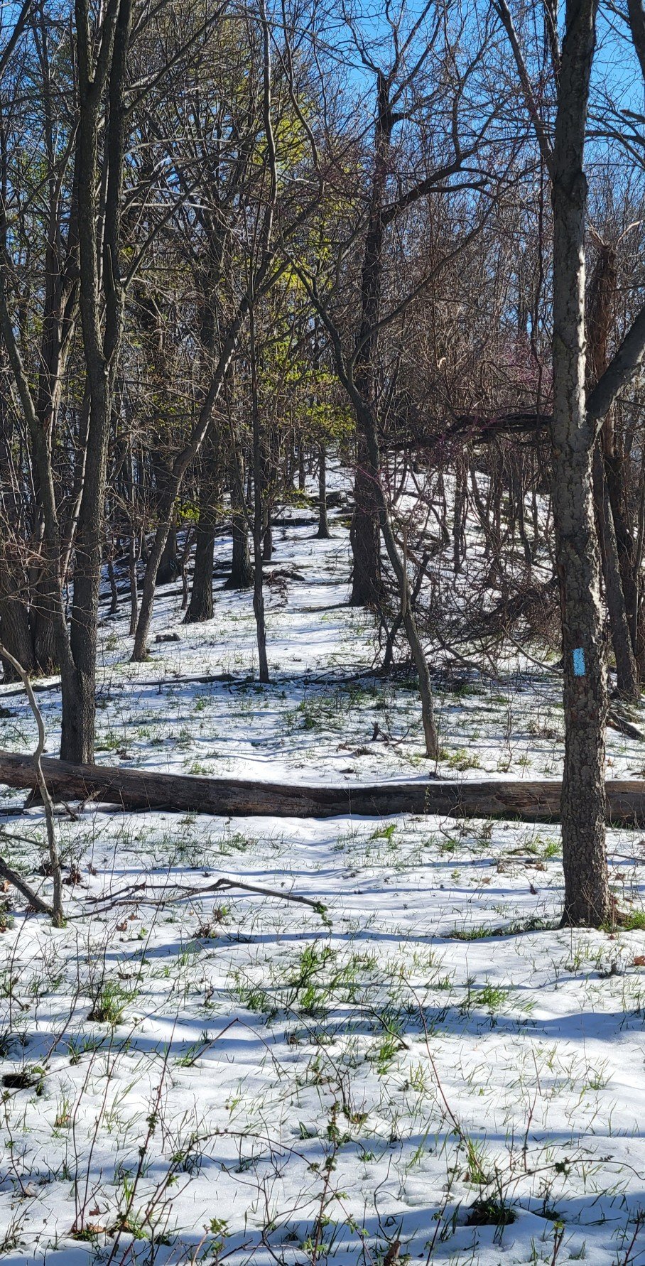
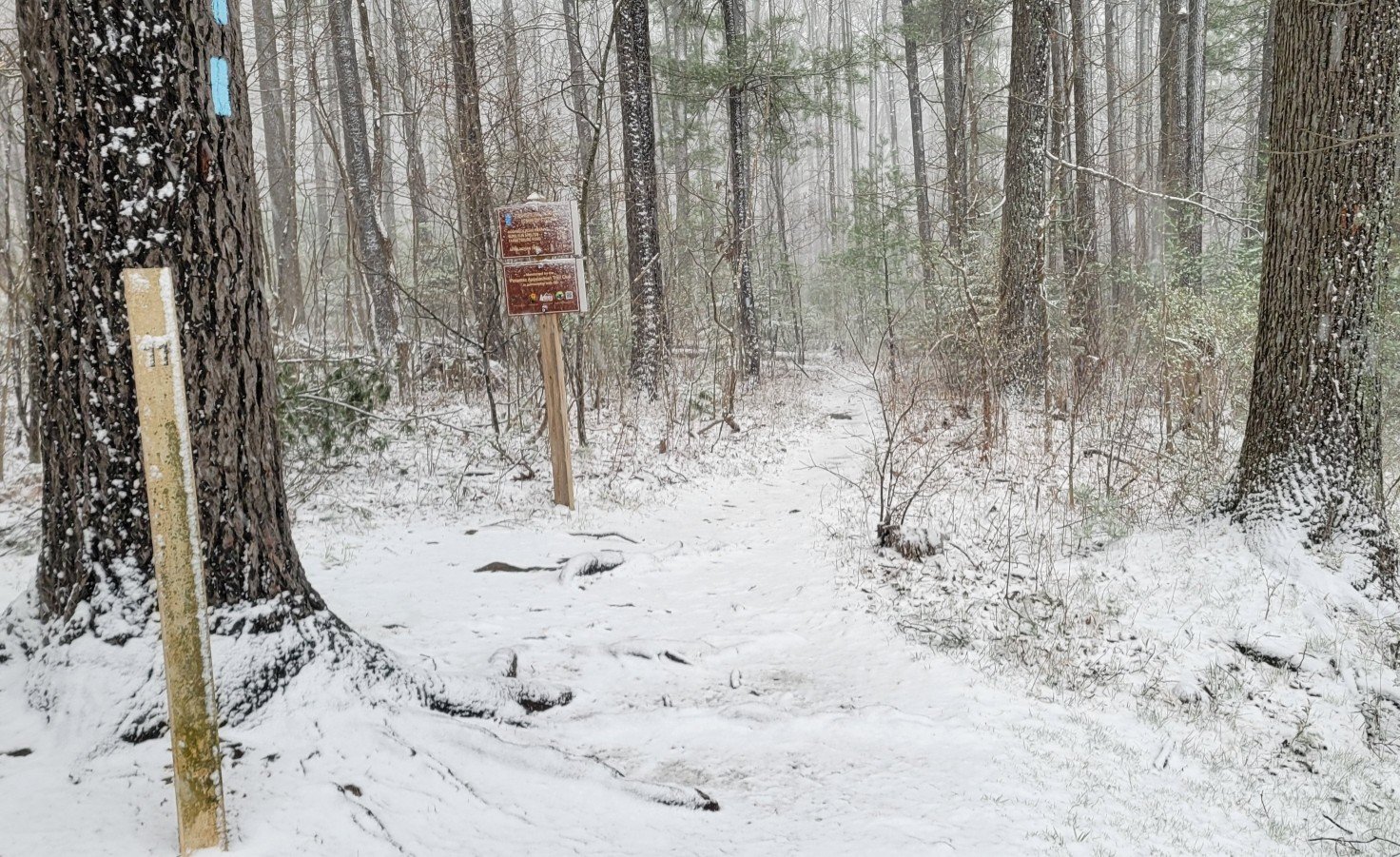
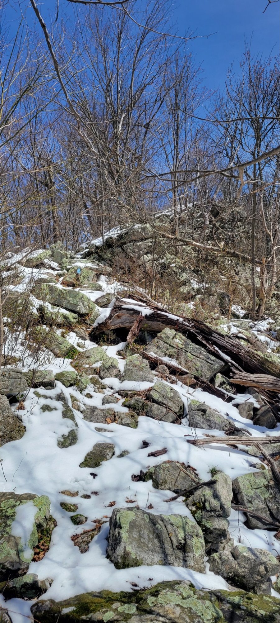
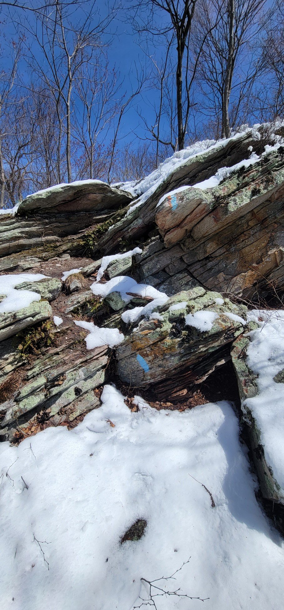
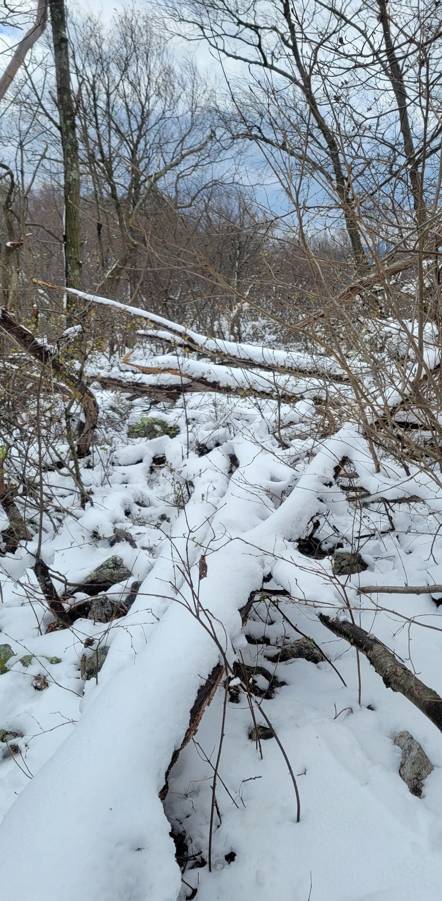
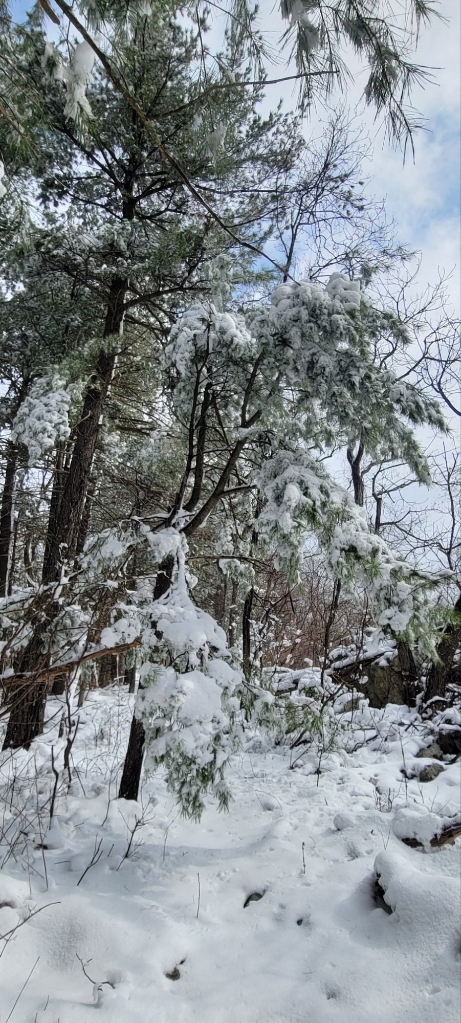
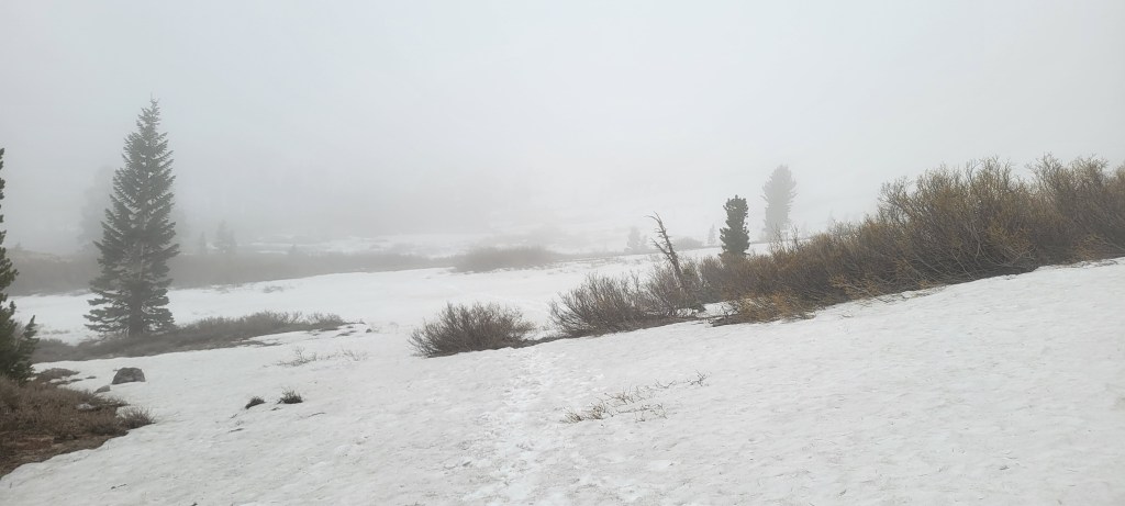
Unfortunately, SNODAS was absolutely wrong. About half the trail I hiked had snow on it, including one steep “sketchy” section of about 50 yards. So much for NOAA’s on-the-ground observation.

When I got back home, I discovered that SNODAS was completely out of line with contemporaneous “FreshSat” satellite images put together by the United States Geological Survey and the European Space Agency. If only I’d thought to check those images before I left.

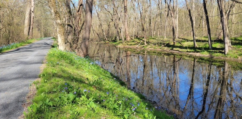
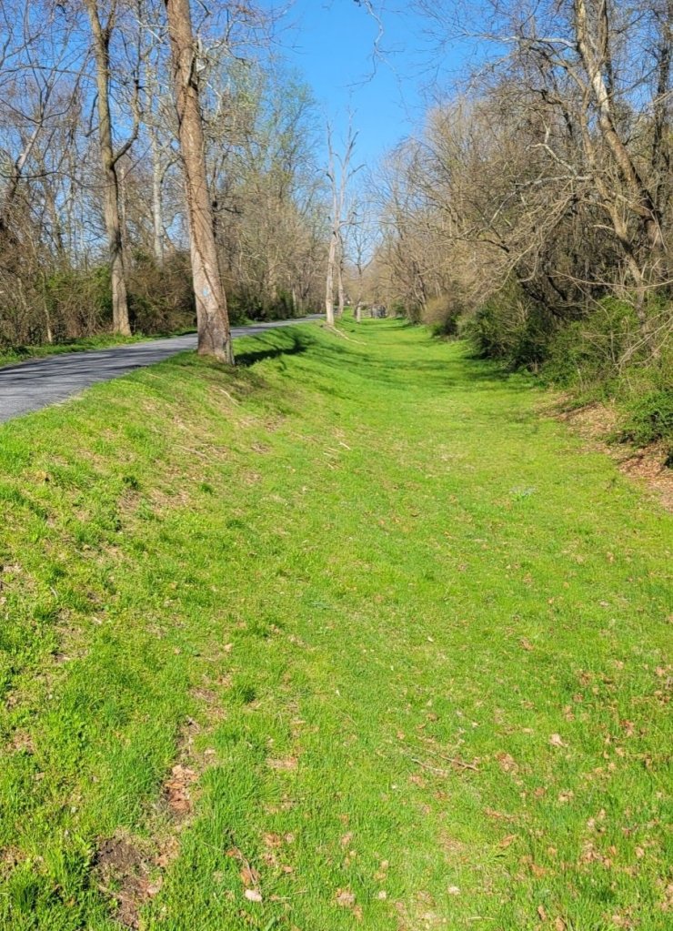
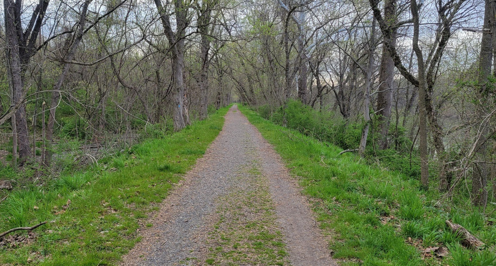
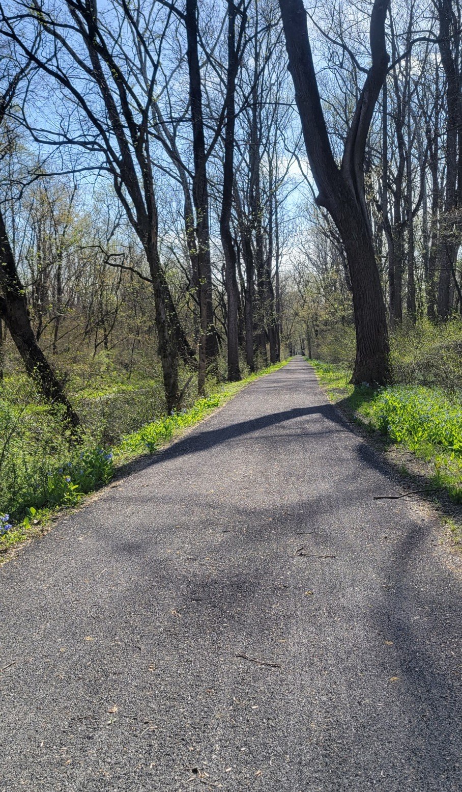
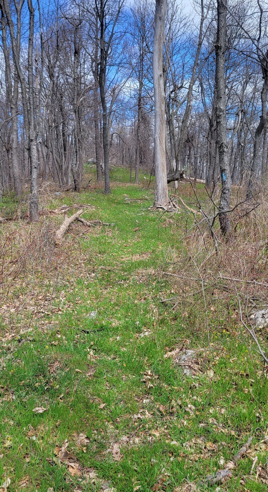
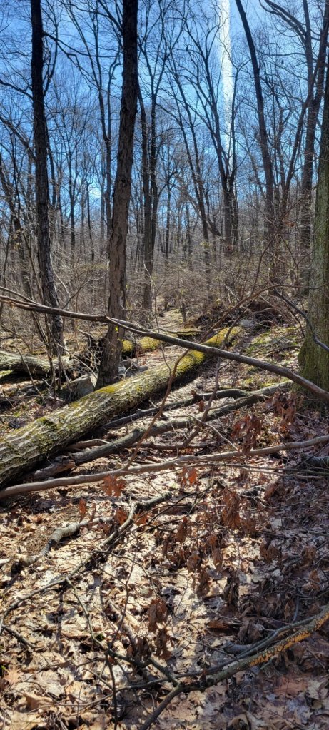
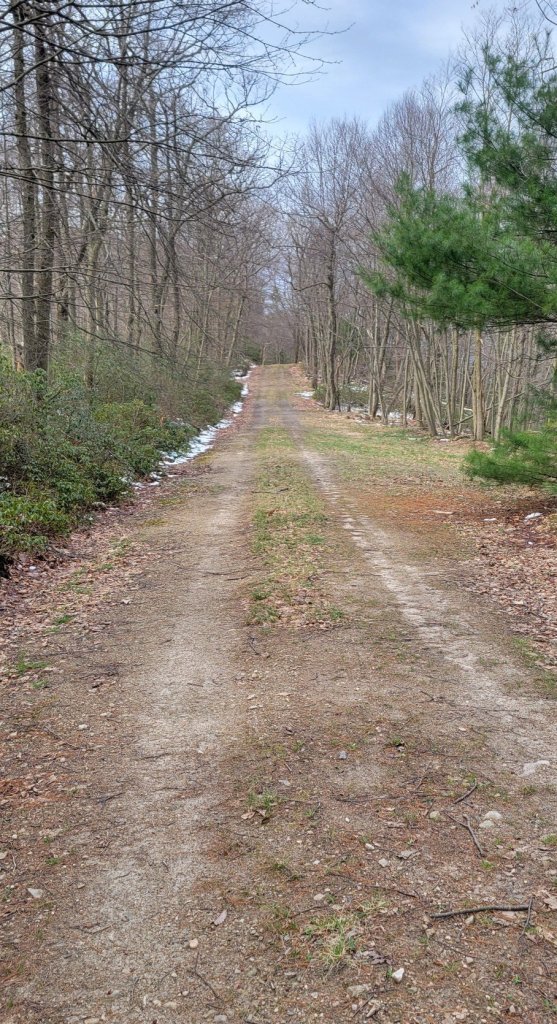
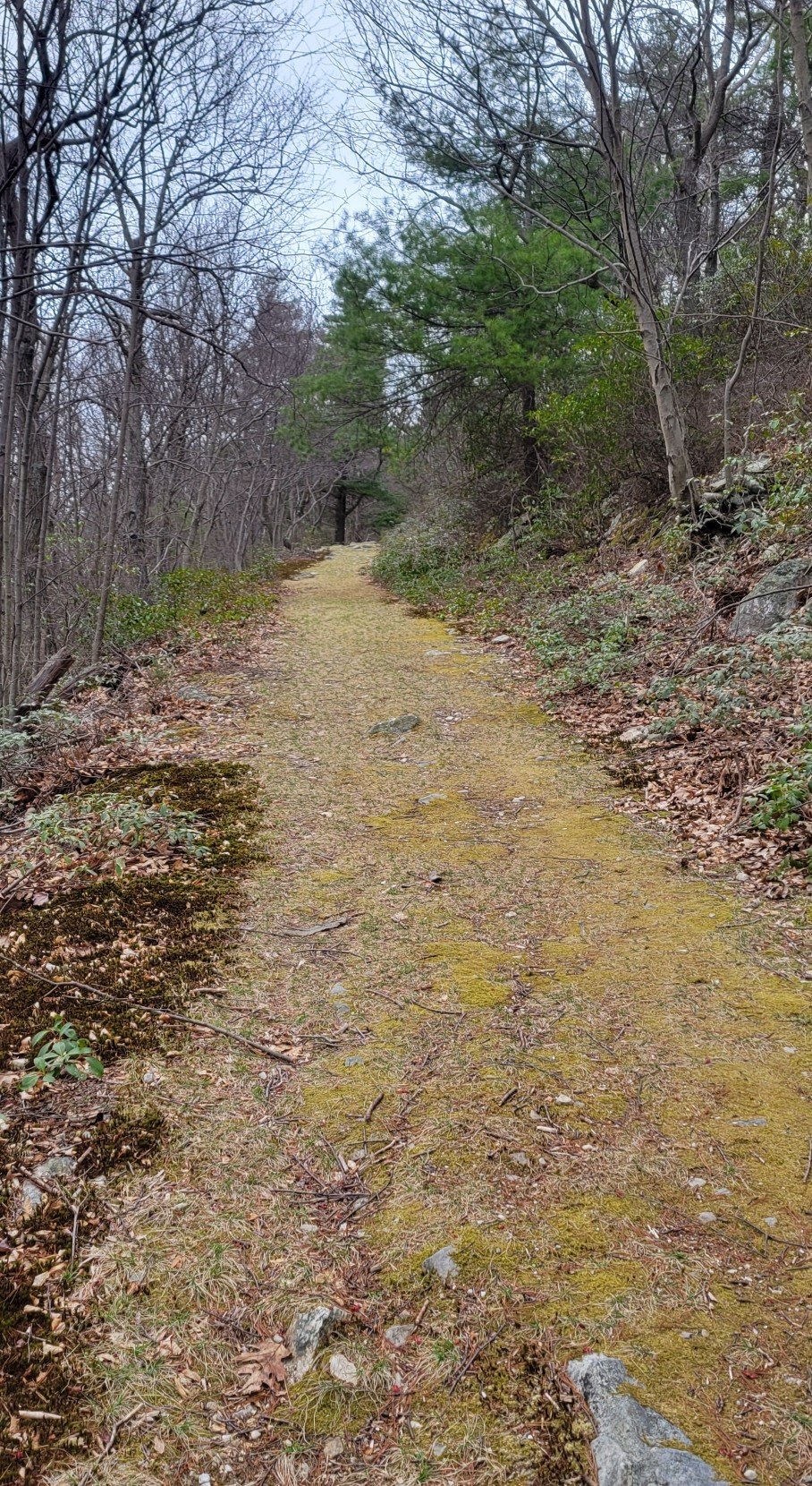
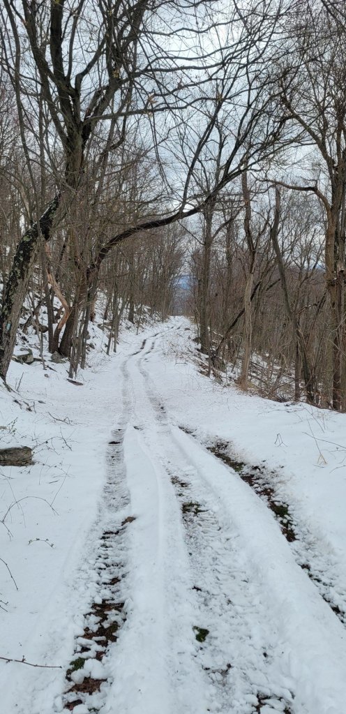
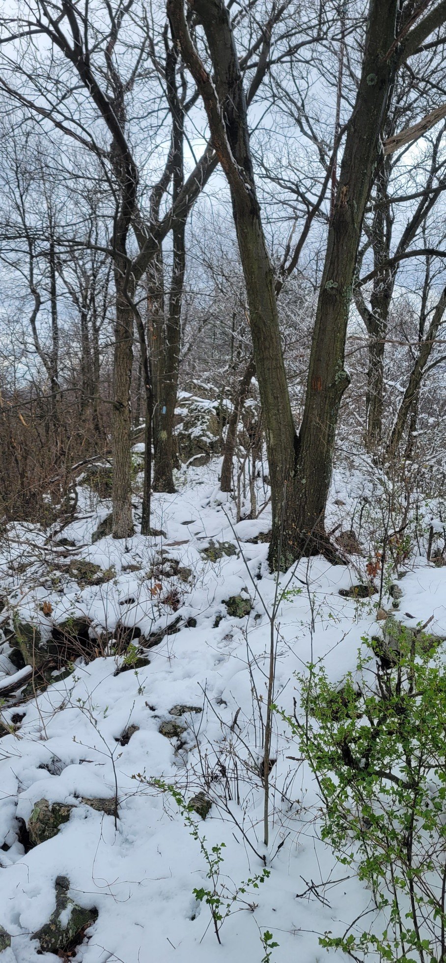
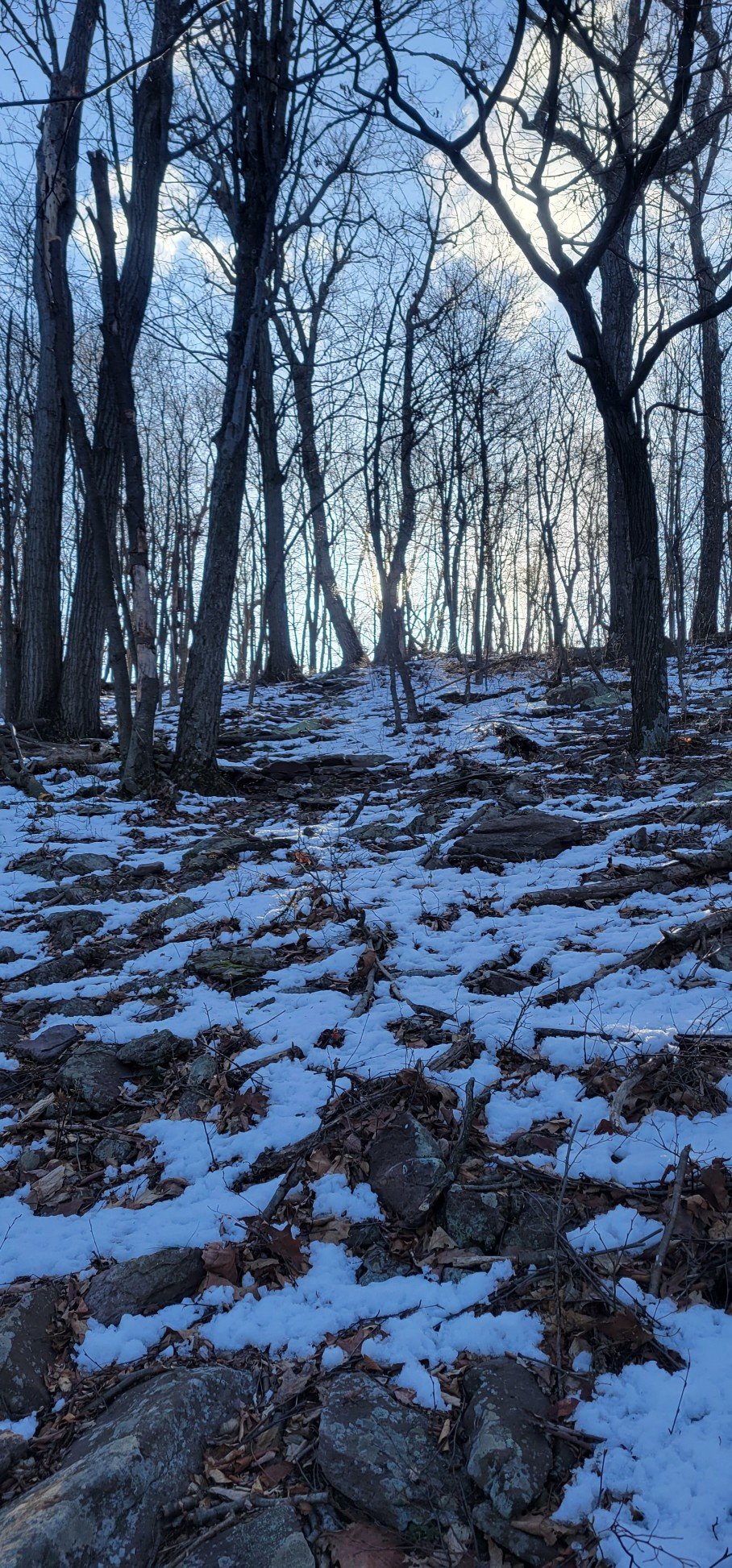
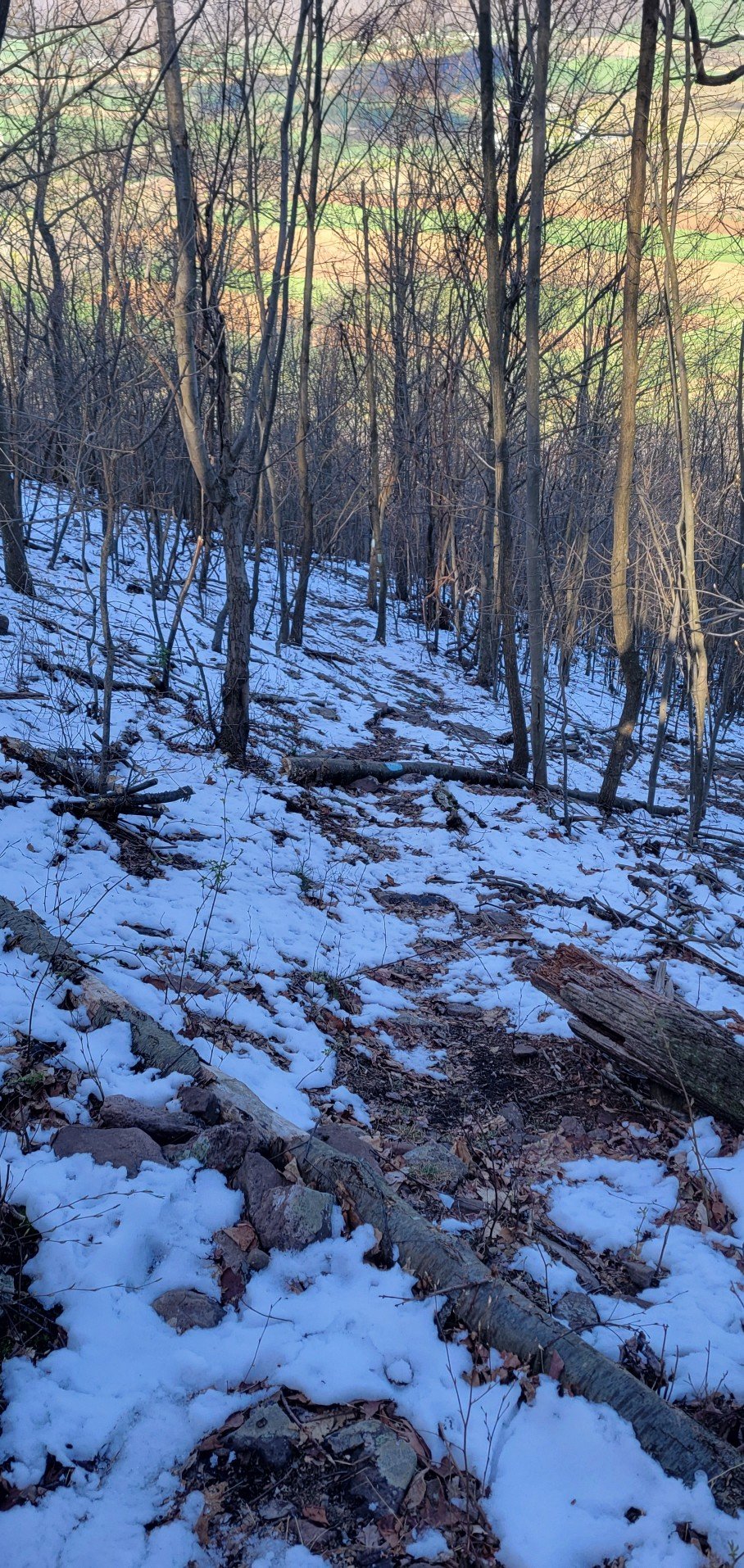
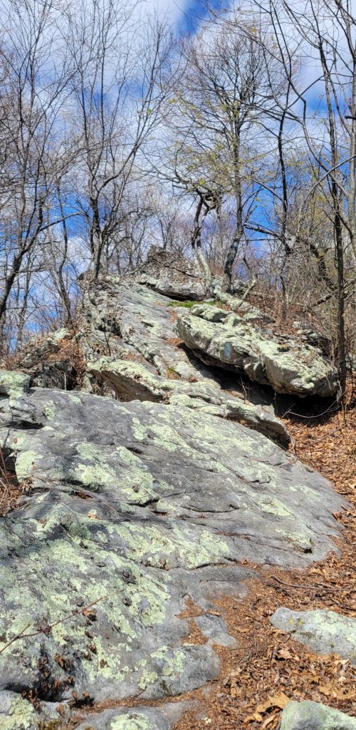
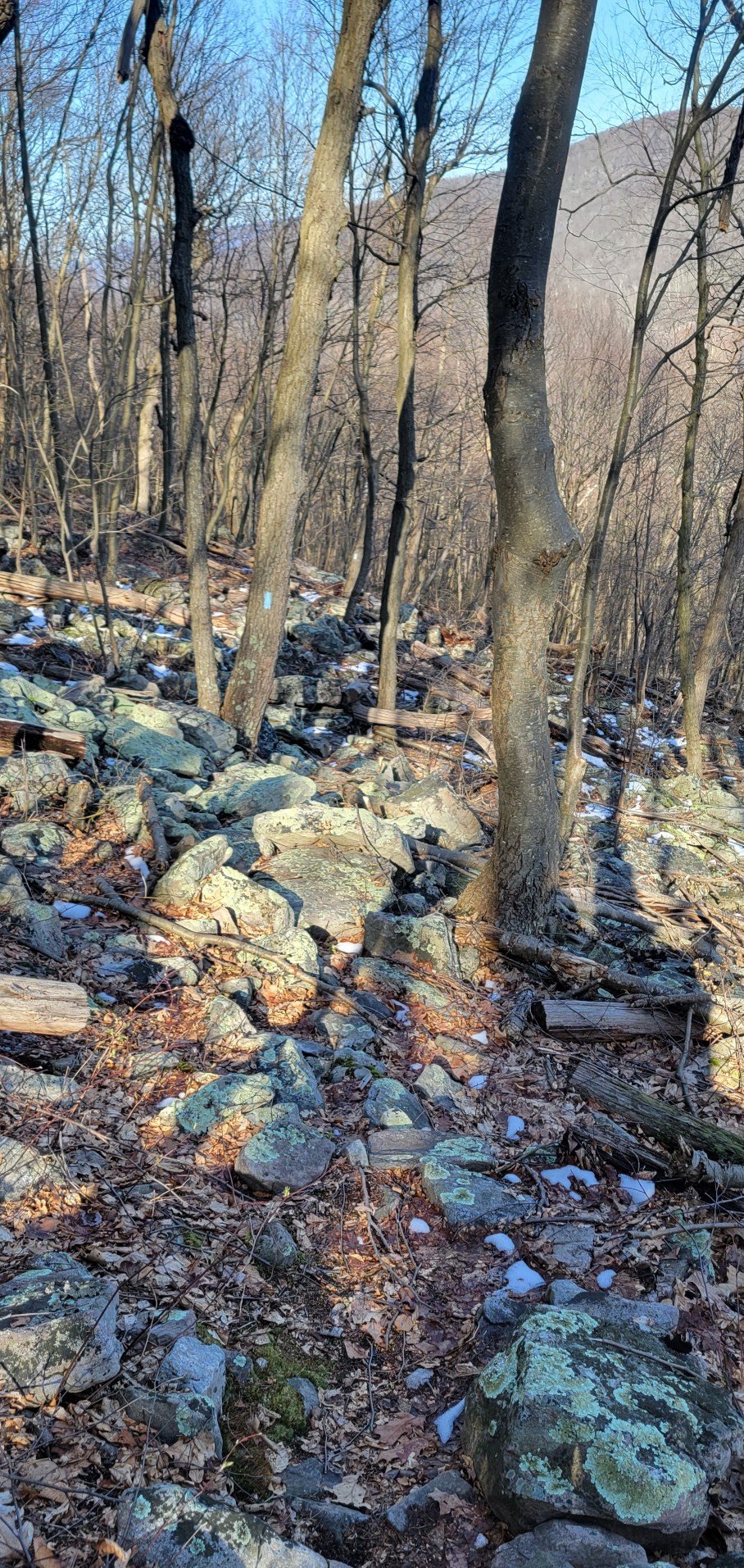
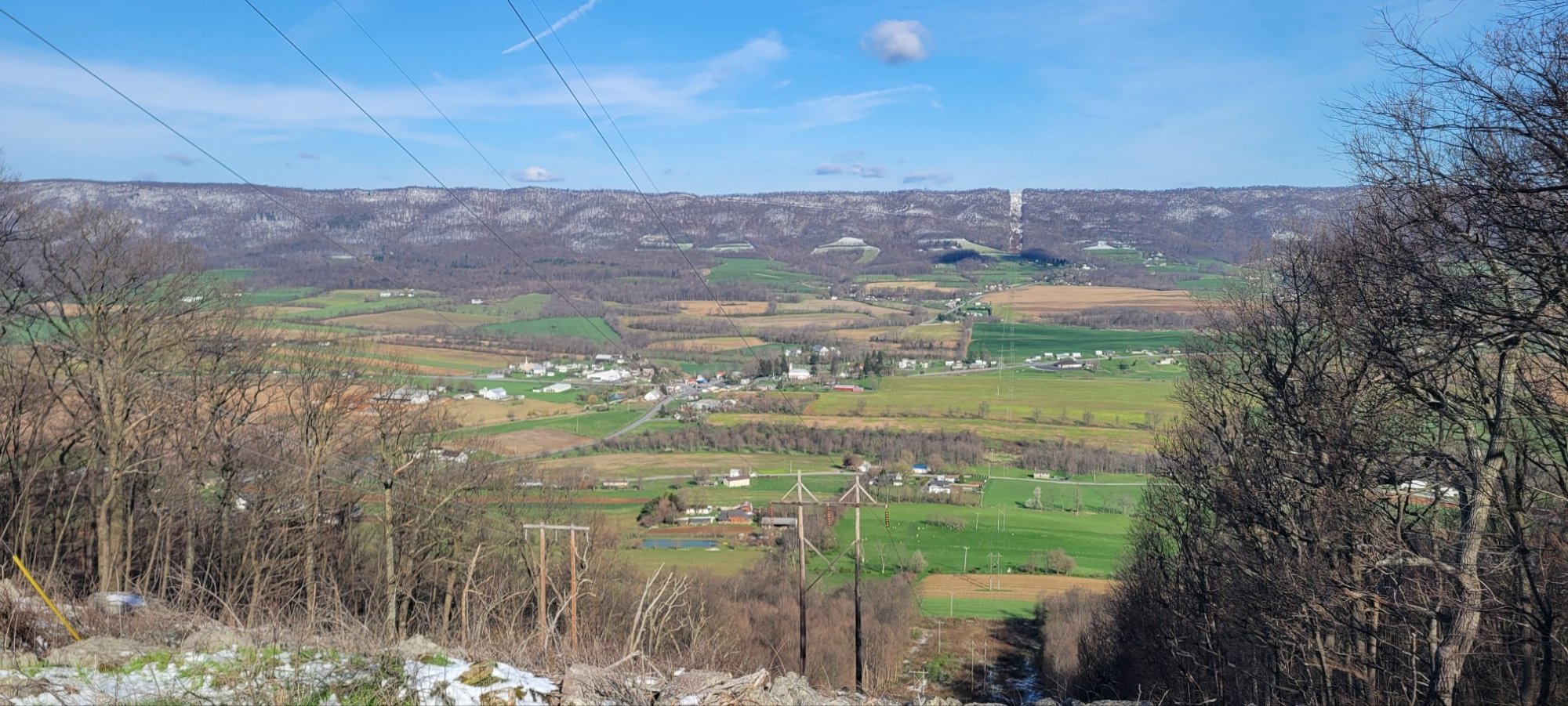
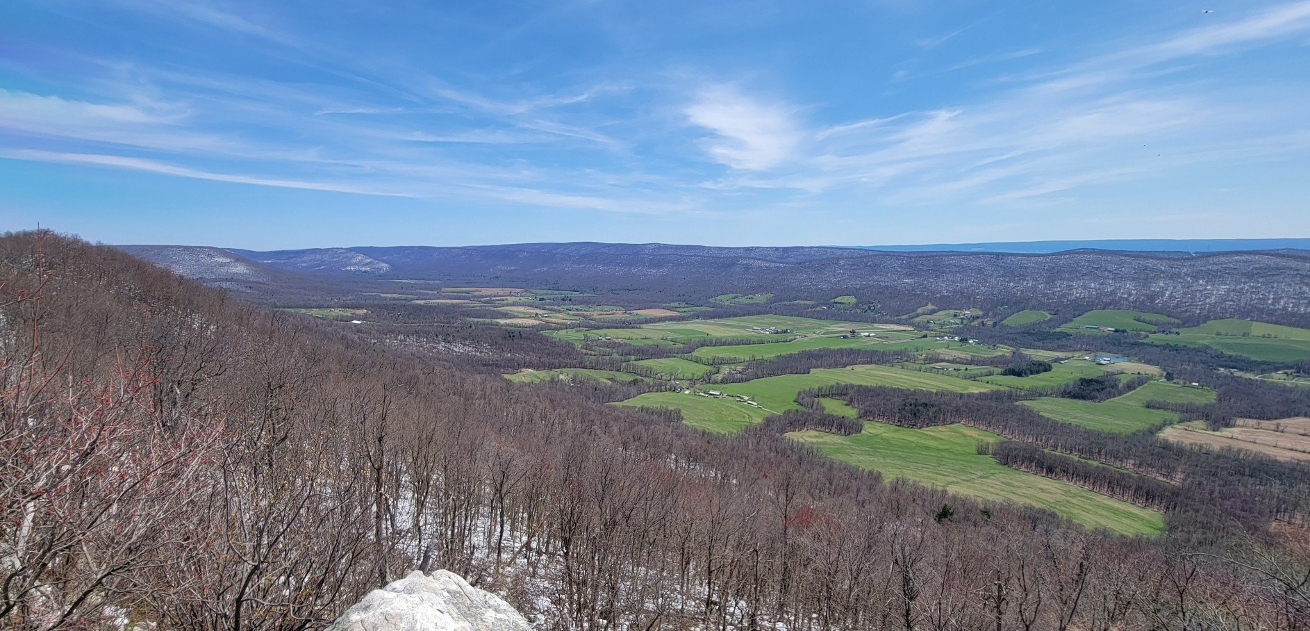
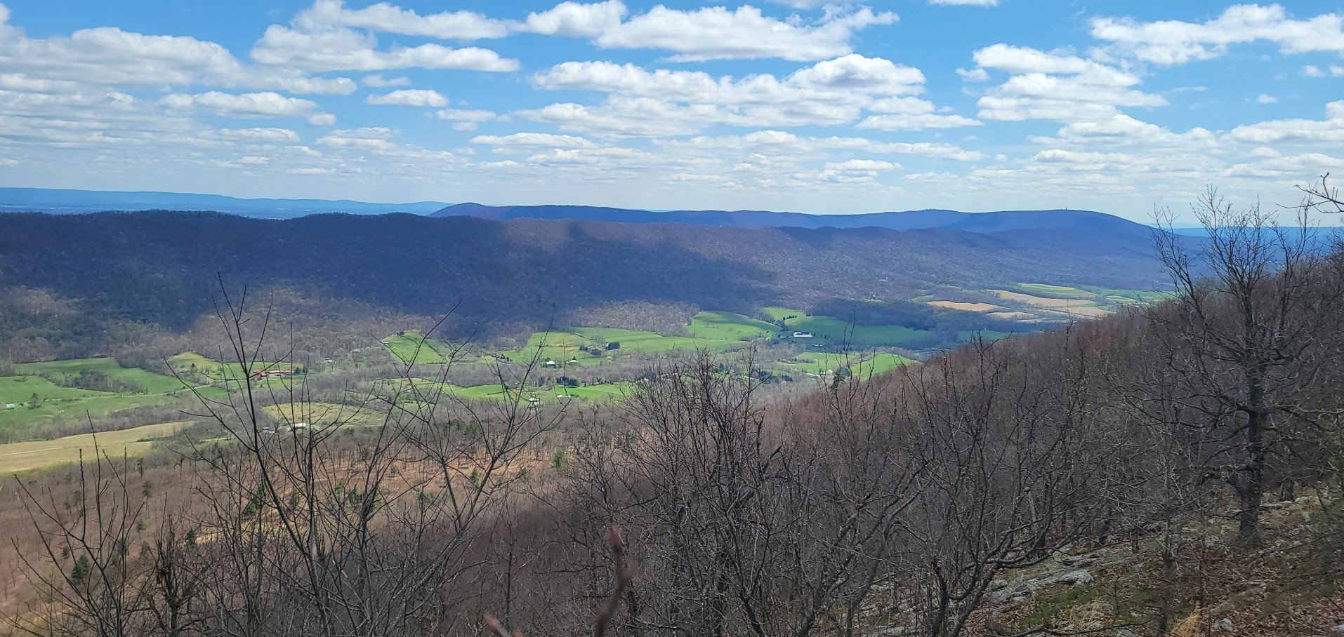
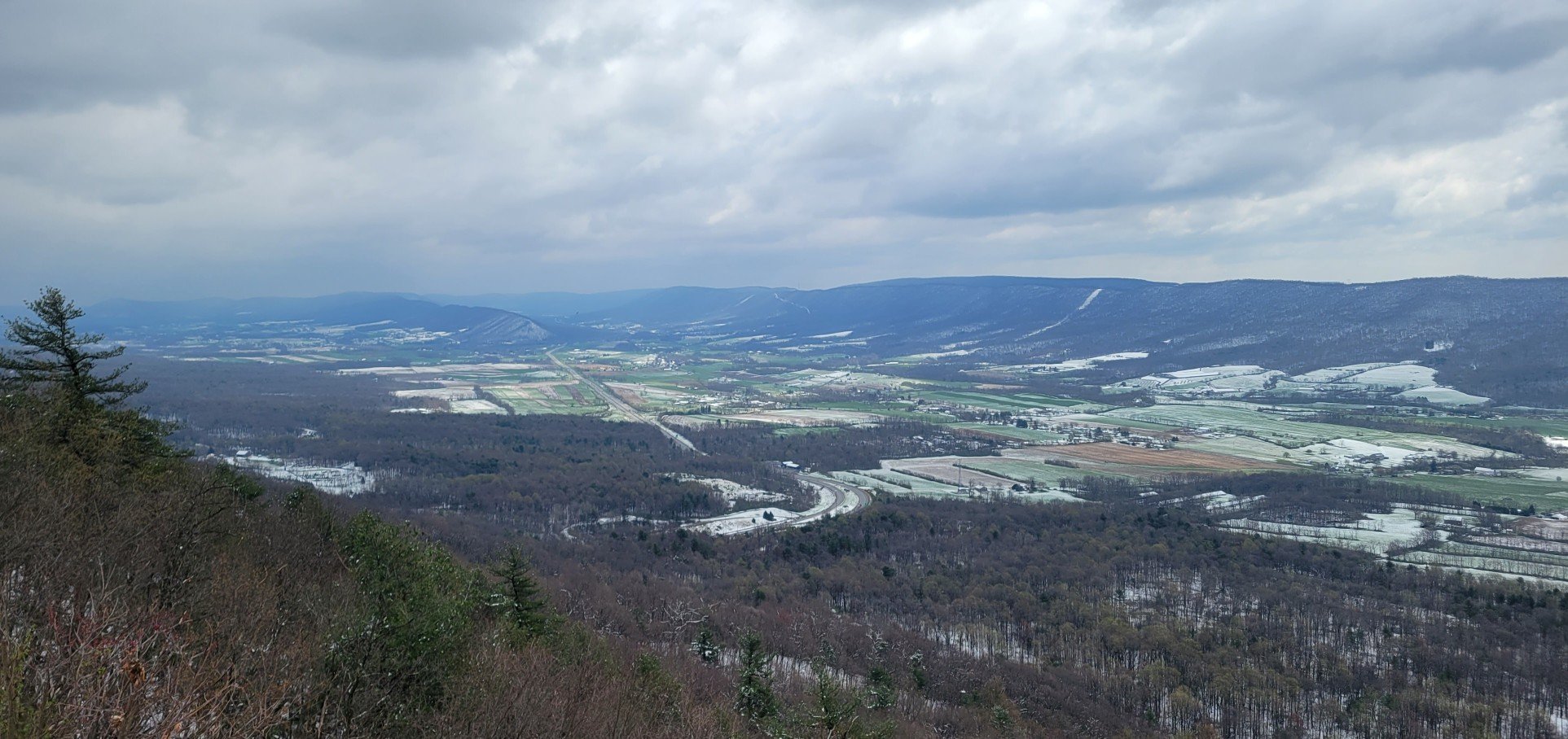
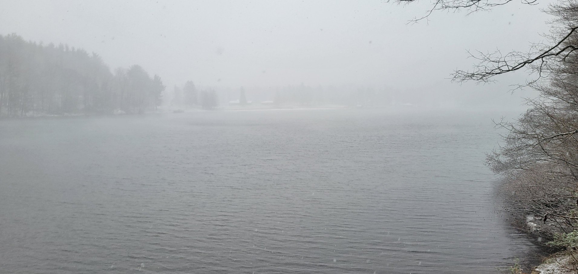
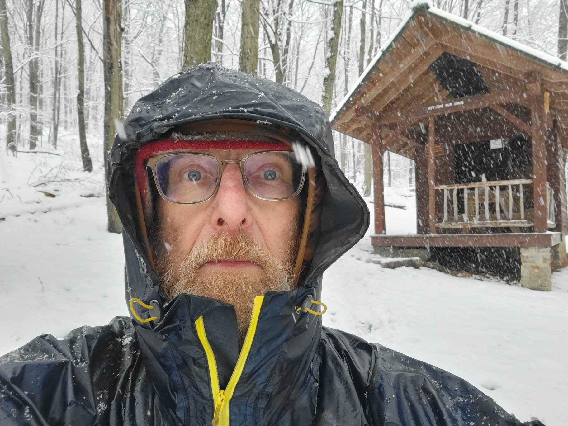
Here are some photos from my overnight hike. The first shows what the trail looked like at the start. The other photos show what the trail looked like as I gained altitude.

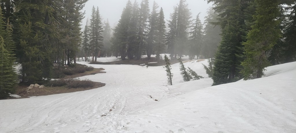
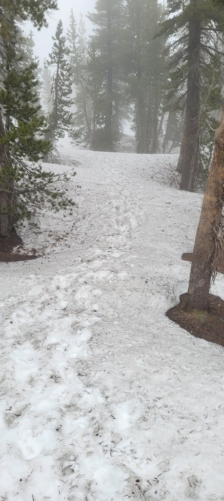
In most places on the snow-covered trail there were footsteps to follow, but that wasn’t always the case. In those instances, my GPS device kept me from getting lost.

I was able to find a snow-free place to pitch my tent. Since I have an insulated air mattress and a warm sleeping bag, my night passed uneventfully.

Despite my misfortune with the snow, I did have good luck hitchhiking back to my car. I had originally planned an in-and-out, but jettisoned those plans because I didn’t want to cross the steep sketchy section again.

What I’ve learned is that your best bet for hitchhiking is working class people. They seem to have the most sympathy. They are less fazed by a dirty hiker, less concerned that hiker might get their often already dirty car even dirtier, and many of them know what it’s like to need a ride.

That’s it for now. I hope to be back on the PCT at the beginning of August. I have 148 miles in the Sierra still to hike. I’ll do that first. It should take 11 days. Then I’ll head north to Oregon to finish the 653 miles I have to hike between Santiam Pass and the Canadian border. I’ll do that from the middle of August until the end of September.

I hurt my left knee and my right hip when I was hiking back East in March and April, so none of this is guaranteed. I’ve reached the age where my body tends to betray me from time to time. Wish me luck.

Photos: The TT, Northern End

c) Andrew Carter, 2022

There are about 100 miles of the Tuscarora Trail from Hancock, MD to the northern terminus on Blue Mountain in Pennsylvania near Carlisle.

At first, the trail follows the C&O Canal towpath for 8 miles, then local roads for several miles more, before turning back to trail and climbing Tuscarora Mountain in Pennsylvania.

It’s in Pennsylvania where the “fun” begins. That means at least 25 miles of hiking over rock piles spread out over the last 80 miles of trail, with the ratio of rock to trail increasing as you head north.

We’re not talking a rocky footpath, rather a rock obstacle course. Dangerous in dry weather, slippy in wet, absolutely scary in the snow. And yes, there was snow due to an April 18th snow storm.

I knew from hiking the Appalachian Trail 45 years ago that Pennsylvania could be rocky, but not like this. Part of the problem is that the Tuscarora Trail tends to stick to the ridge crest where rocks are the worst instead of slabbing along the side of a mountain where there might be fewer of them.

More important, there’s little to no warning on the TT website or in the TT guidebook where these rocky sections are, which is how I found myself on the rocks in the snow desperately trying not to break my leg.

I survived and made it to the end, but I would not recommend the TT in Pennsylvania to anyone. It’s the first time in my life when I was desperately happy for a hike to end.

C&O Towpath

The canal with water. The towpath beside it.
No water
Trees and brush in the old canal.
Dirt towpath.
To the right is the Potomac River.
Gravel towpath
Here, the canal (to the right) is a lake.
Towpath mile marker.
The C&O Canal is 184 miles long.
It stretches from Cumberland, MD
to Washington, DC.
Remains of a stone structure which
allowed a creek to pass under the canal.
Lock on the canal
The lock master’s house.

Trail Photos — the Good, the Bad, and the Ugly

What a lovely trail.
Even in the snow.
But add blowdowns?
The trail on forest roads.
Now add rocks.
And snow.
Up
Down
A classic view of Pennsylvania rocks.
Yes, that’s the trail.
More rocks.
Watch out in the snow
Come on.
You’re kidding me.
This is dangerous

Views

A hang-glider launch deck.
In the the snow. There’s a state park
on the other side of this lake.

Shelters

The Tuscarora Hilton?
Definitely a room with a view.

Flora

Fauna

Yes, that is a porcupine.
He was huddled by the trail on a very cold day.

Signs

No Red Trail or Green Trail?
It’s always farther in metric.
This is all about hunting, which seems
to be a religion in Pennsylvania.
Don’t you dare hunt on my property.
The “Lincoln Highway” is US Route 30.
On my TT hike, I also crossed US Route 40
and US Route 50. US 30 begins in Philadelphia
and heads west. US 40 begins in Baltimore.
US 50 begins in Washington.

Odds and Ends

Snow
Me in the snow
My shoes at the end. 35 miles of road walking destroyed the right heel. Roots, branches, and rocks destroyed the toes of both shoes.
Me at the end.
Glad to be done, glad to be going home.

Photos: Odds & Ends

c) Andrew Carter, 2022

The photo above and below are of the ruins of Elizabeth Furnace, a 1700’s and 1800’s pig iron smelter.
If there’d been a TV, I might have stopped.
Someone is getting ready for the next Great Flood.
A place to sit and talk, except only I was there.
A very organized campsite.
The train to nowhere.
On the back of a sign. Good luck?
Yours truly.
When Marta retires, my retirement plan
will change as well.

Photos: Buildings

c) Andrew Carter, 2022

Because the Tuscarora Trail has about 40 miles of roadwalk, you do see a lot of old farm homes and buildings. Some still being cared for, some not.

Willa Cather wrote “My Antonia” and “O, Pioneers.” I wasn’t able to take a picture of her brick house, still in good repair, because it was shielded from the highway by pine trees.
Country church in the Shenandoah Valley.

Photos: Signs

c) Andrew Carter, 2022

No sign for Fall, however
The Great Eastern Trail is an attempt to string together multiple trails to serve as an alternative to the Appalacian Trail. In part, it follows the Tuscarora Trail.
The TT is blue-blazed.
Two blazes means a change in direction is coming
I grew up on Virginia State Route 55, halfway between Front Royal and Washington.
The TT goes through Woodstock, VA.
Yes, I have been following the back roads.