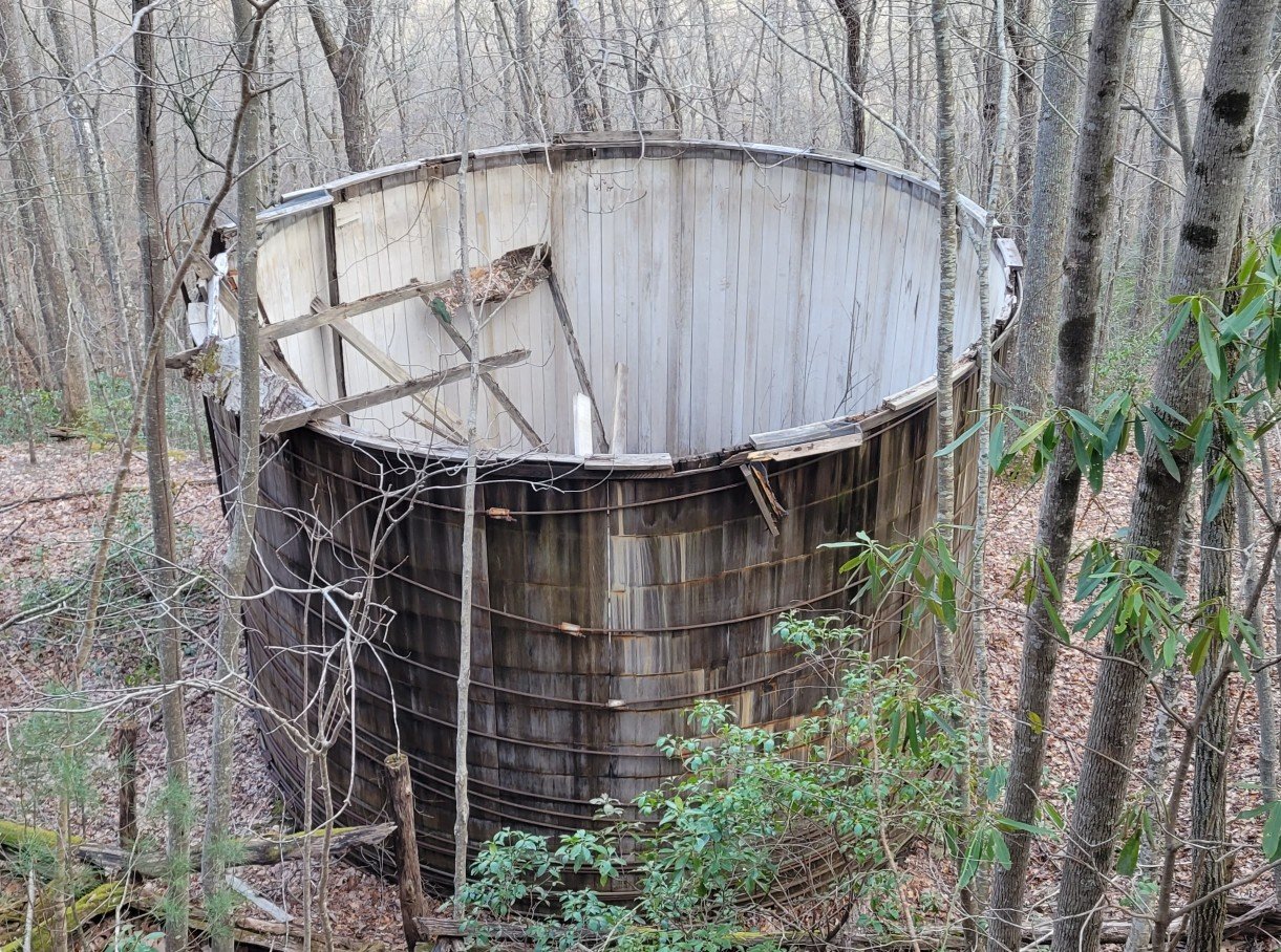
c) Andrew Carter, 2022
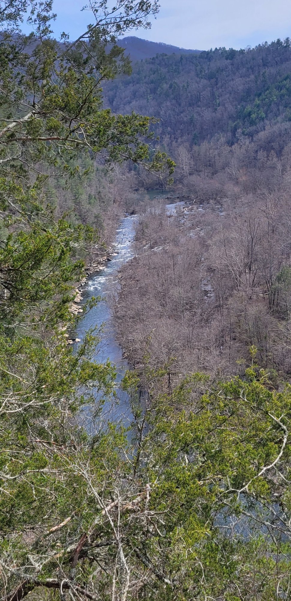
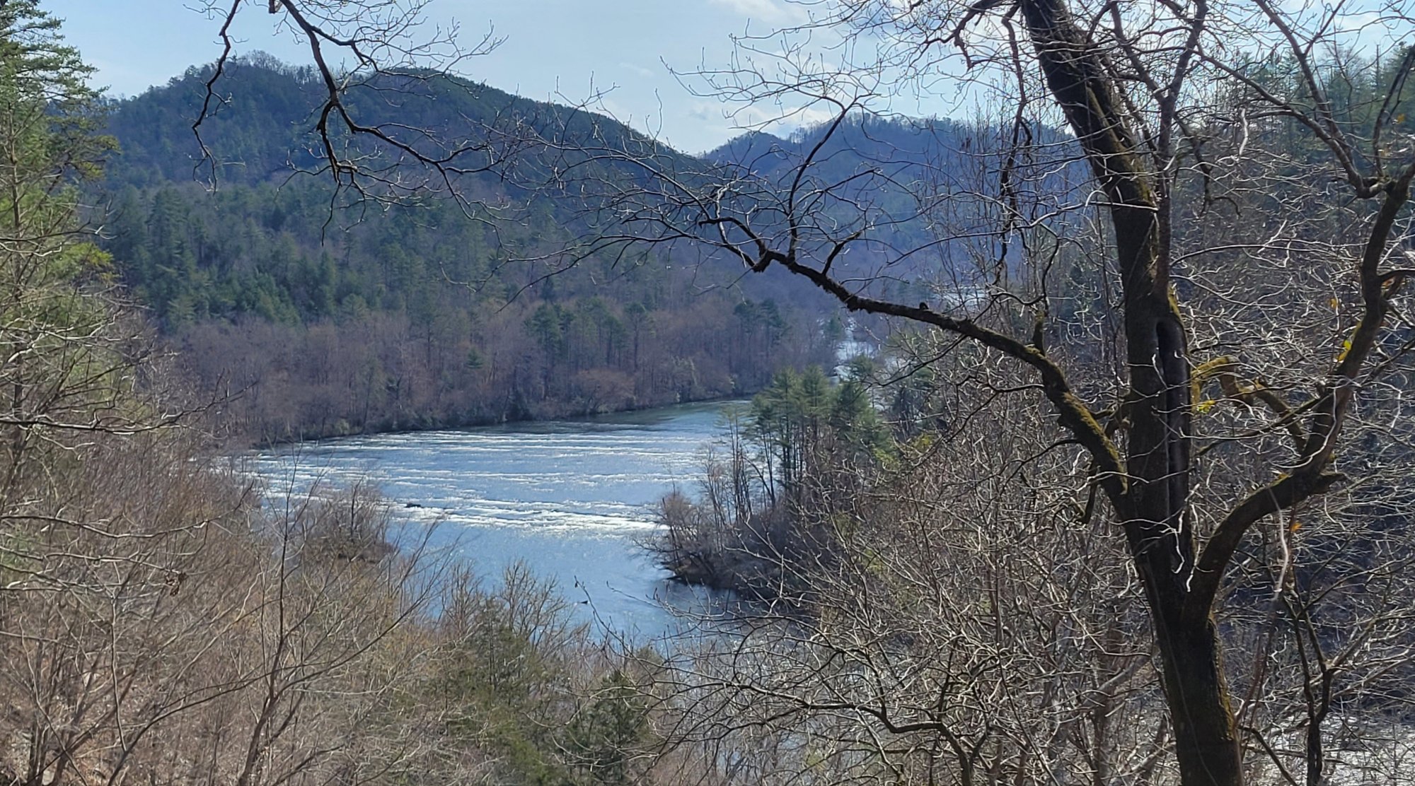
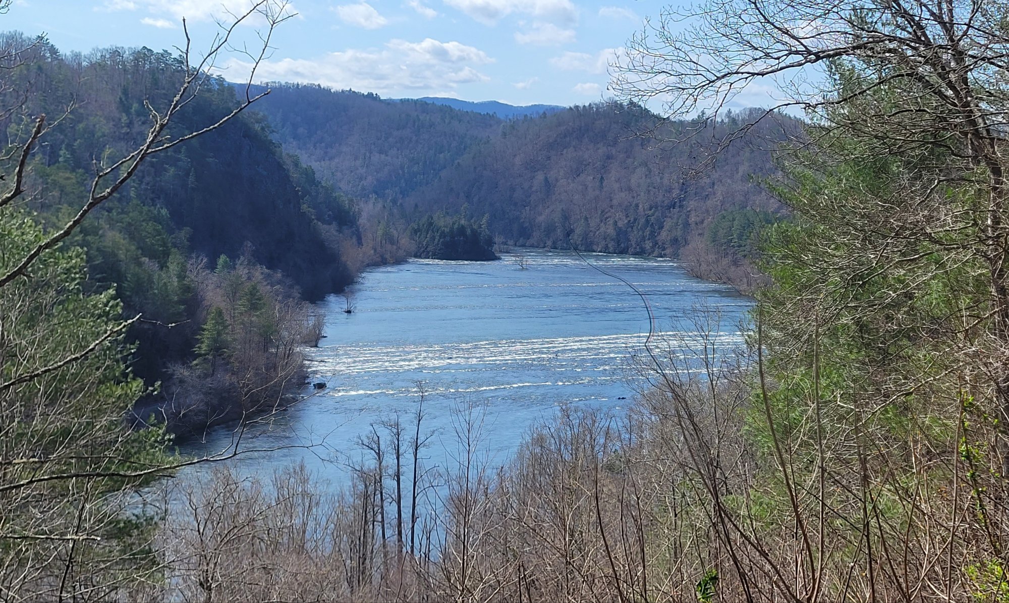
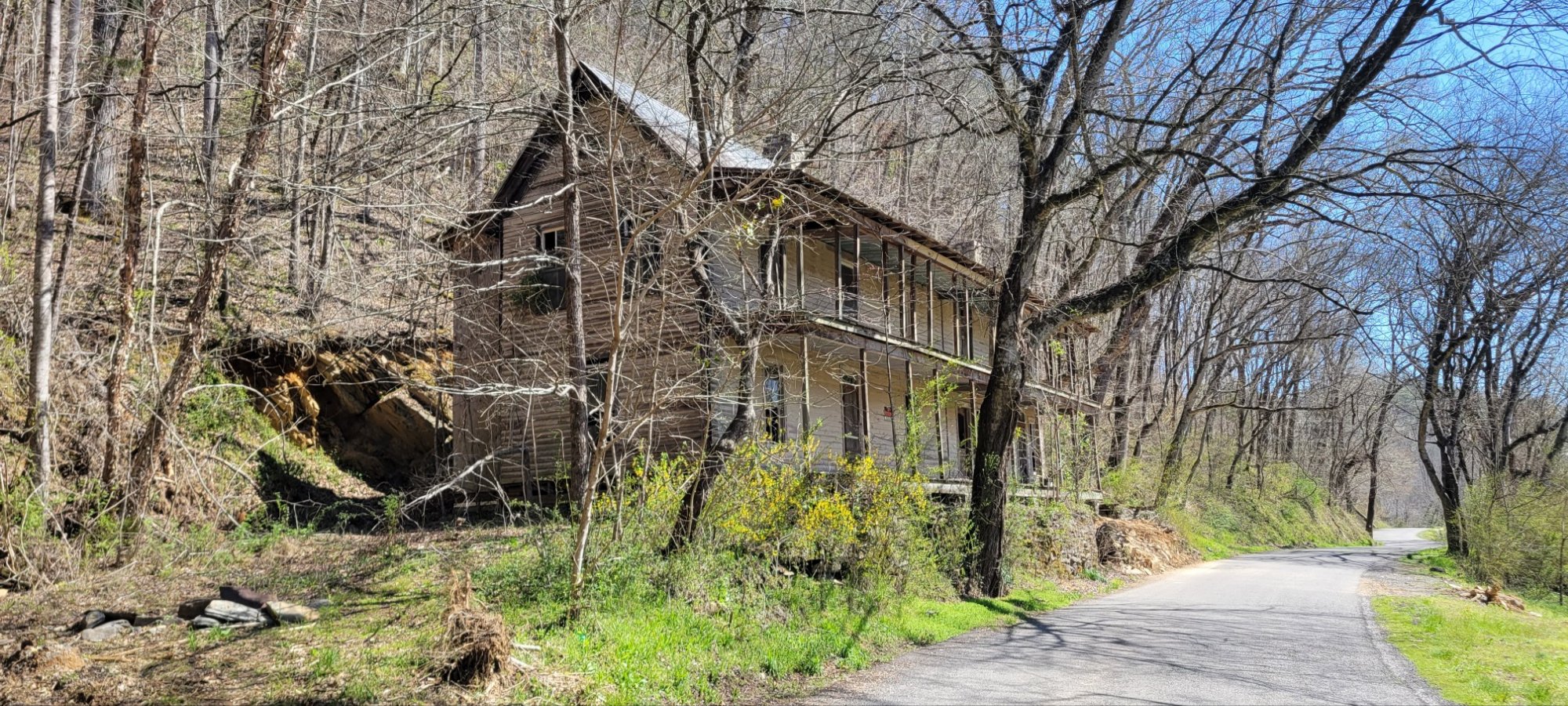
The C&O Bicycle Shop is in Hancock, MD. As the name implies, it’s located on the former Chesapeake & Ohio Canal, which runs beside the Potomac River for 185 miles from Washington, DC to Cumberland, MD
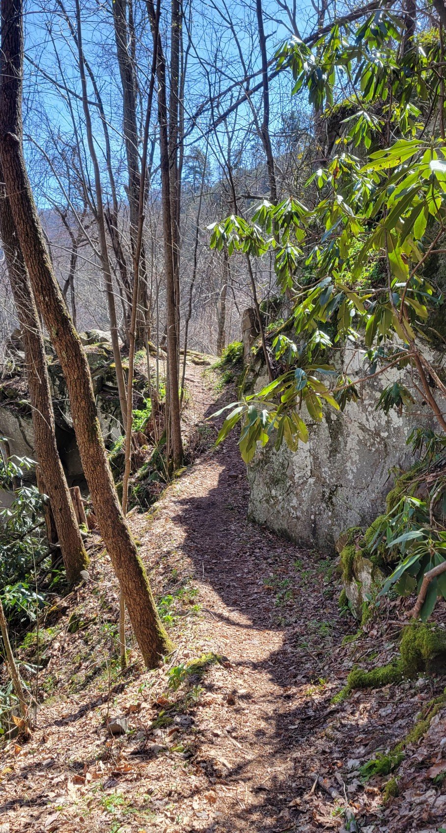
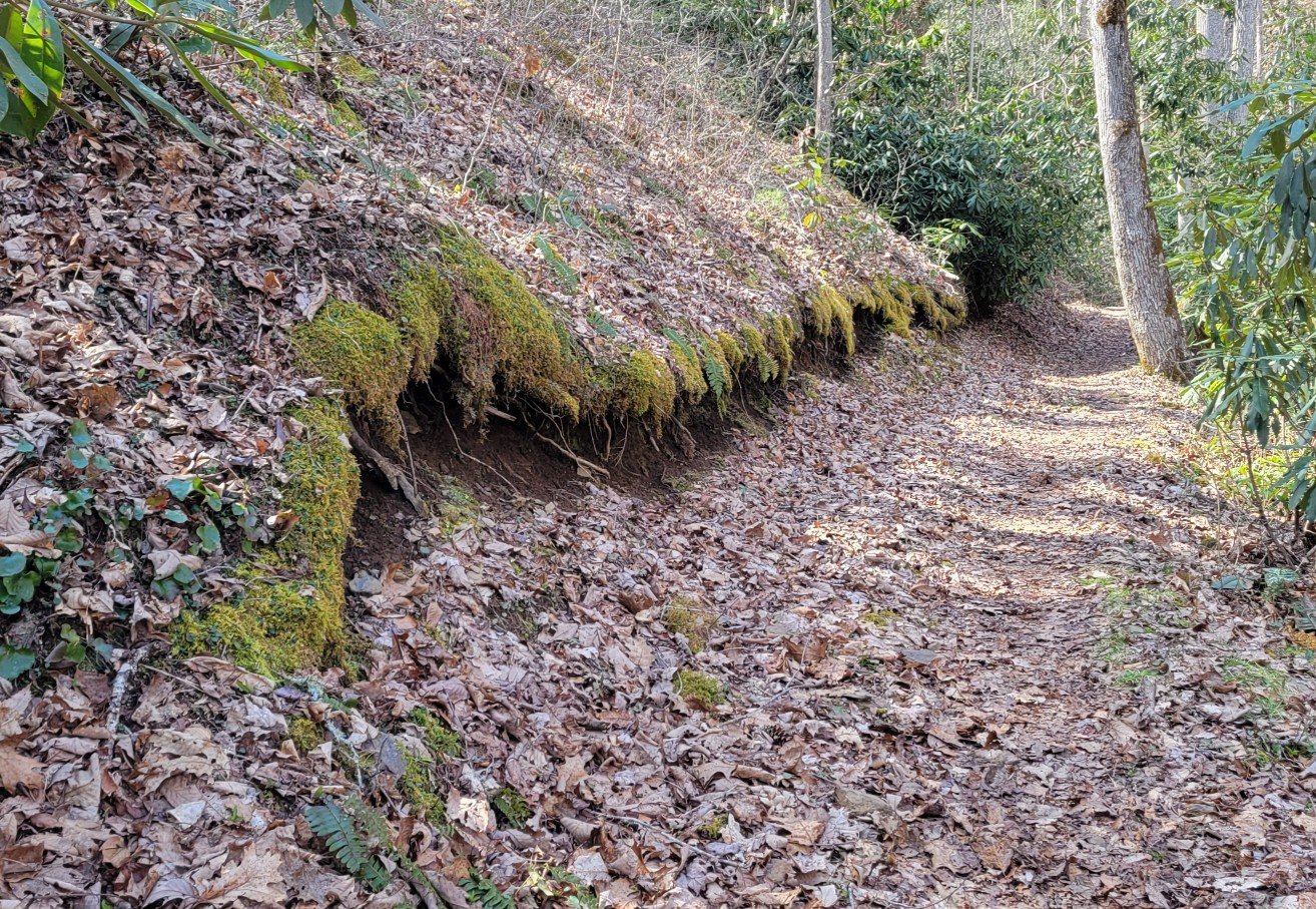
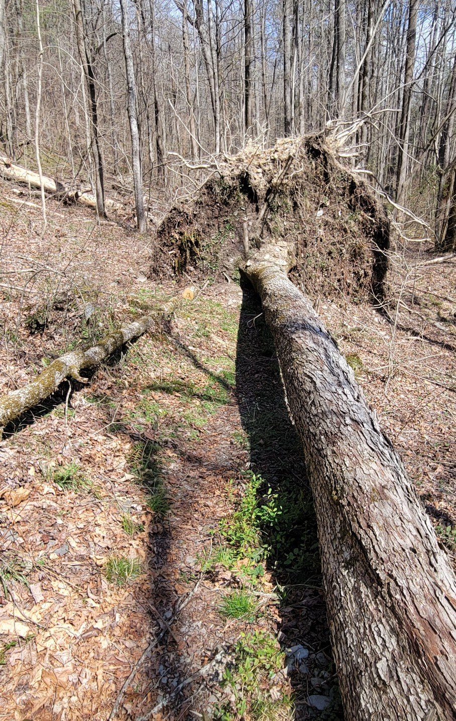
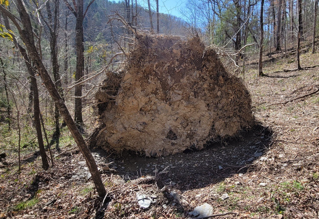
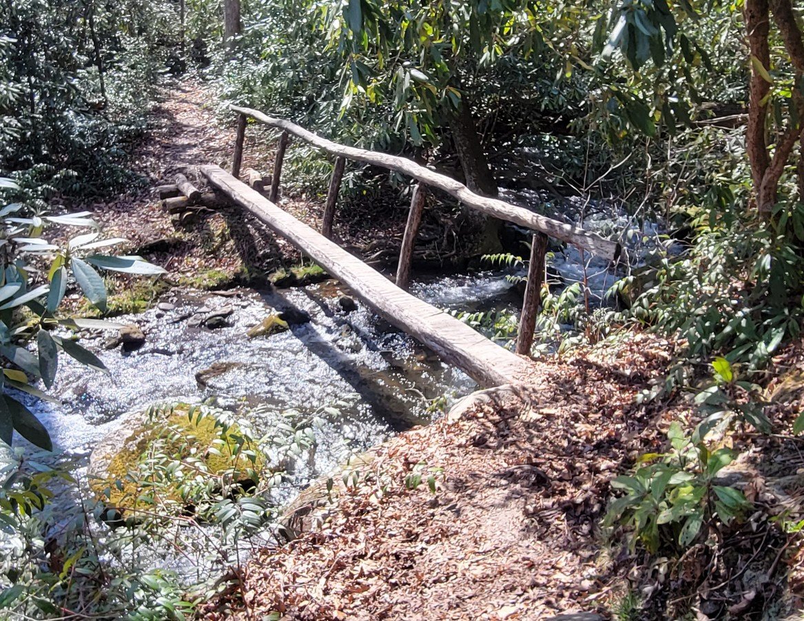
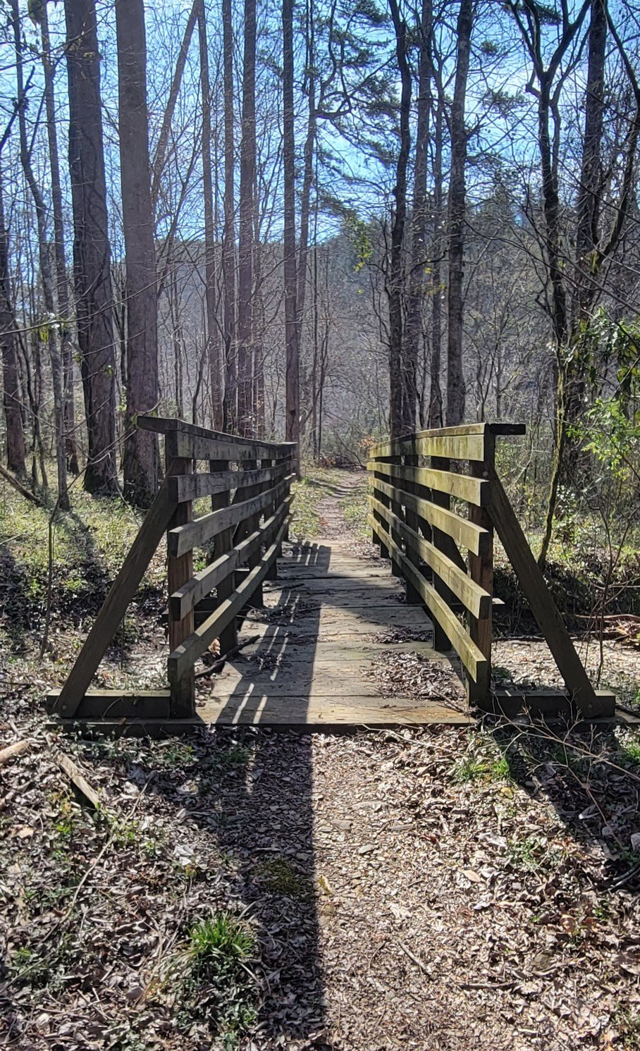
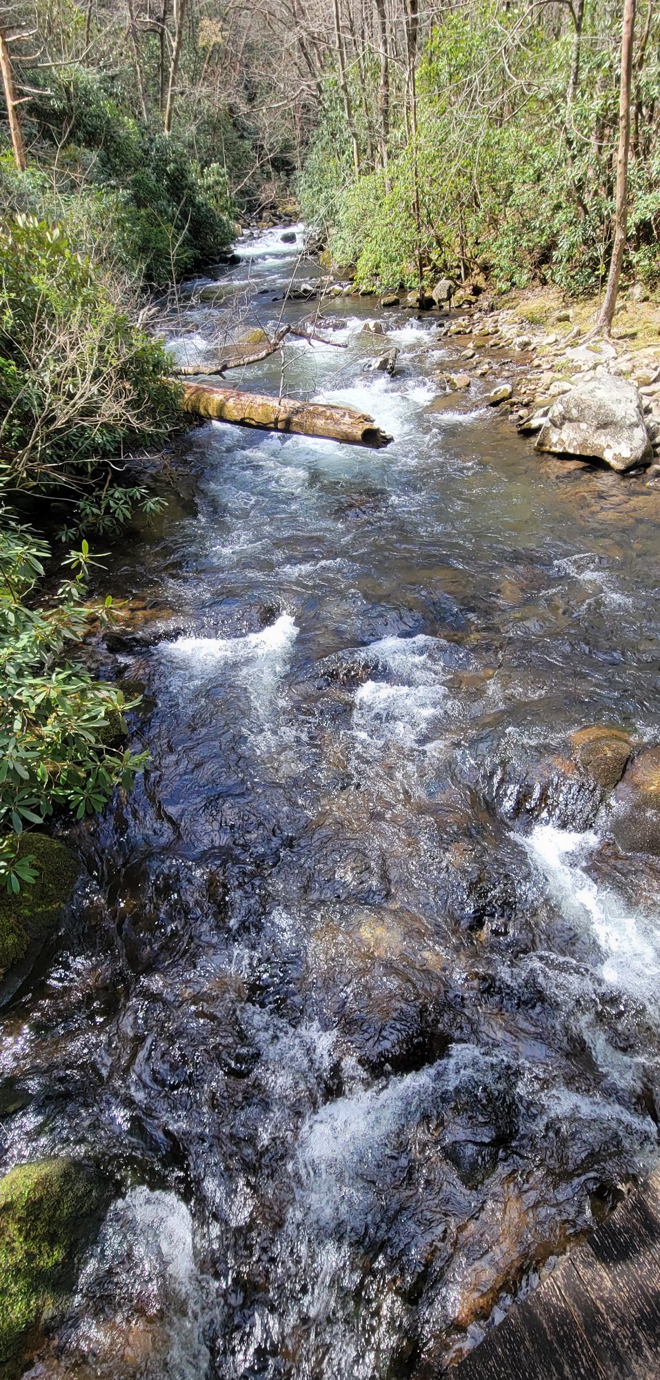
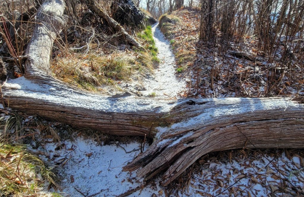
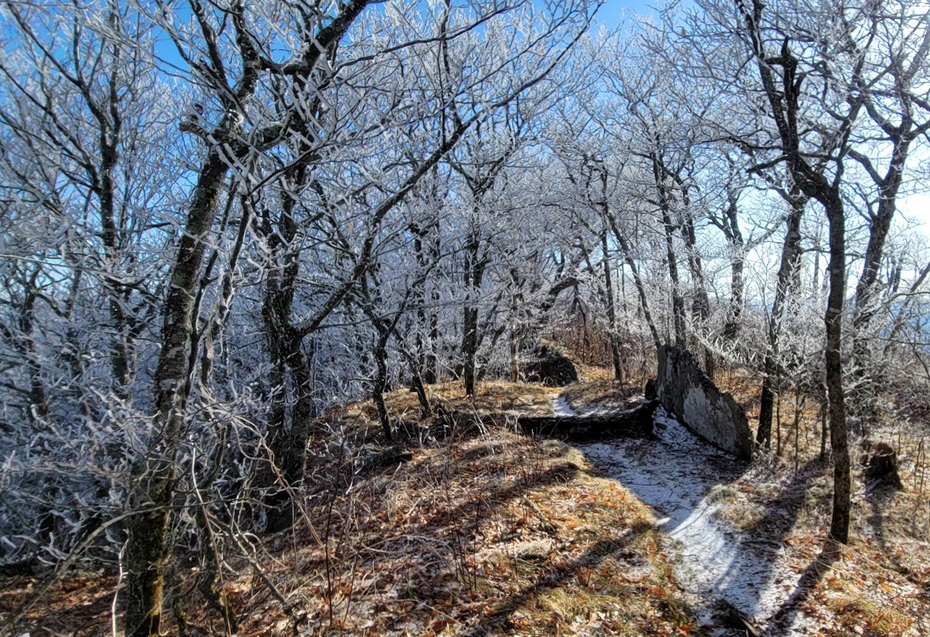
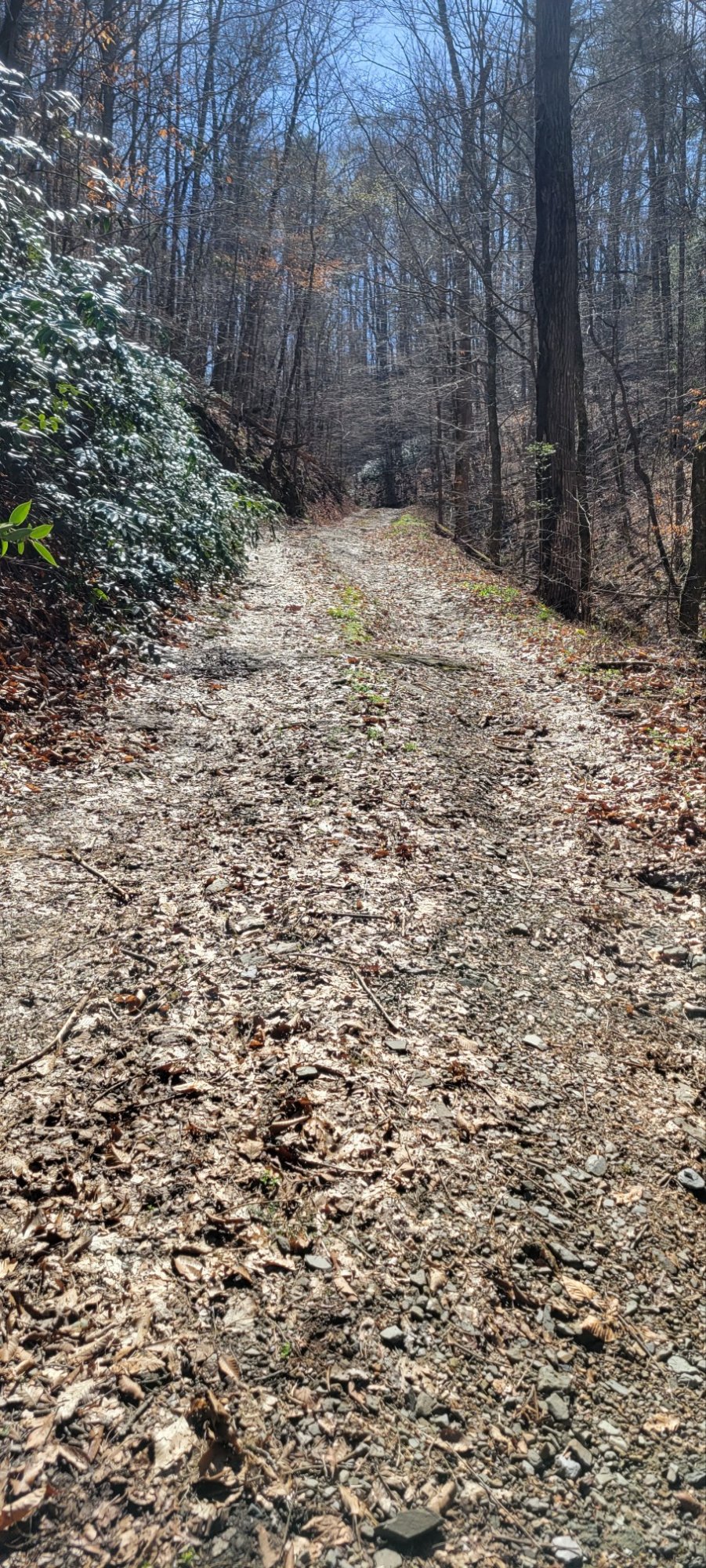
The canal still exists, although it is in disrepair and unused. The former canal towpath, however, is actively used as a long-distance bicycle path.
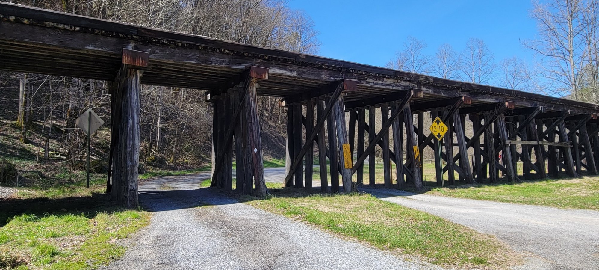
The bicycle shop is next to not one, but two bicycle paths. On one side of the shop building is the canal tow path. On the other side is the Western Maryland Rail Trail which runs for 26 miles along abandoned right of way of the Western Maryland Railroad.
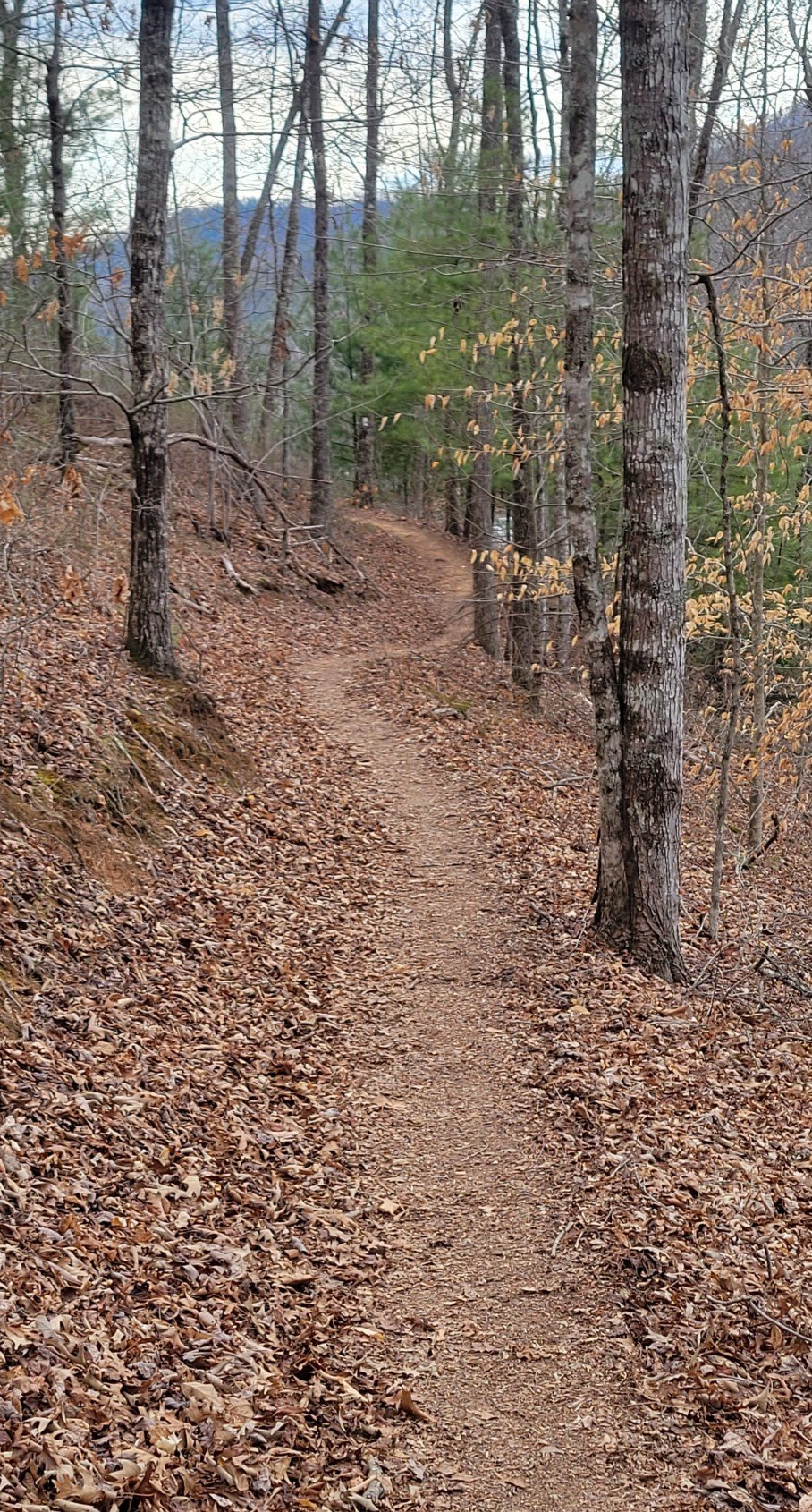
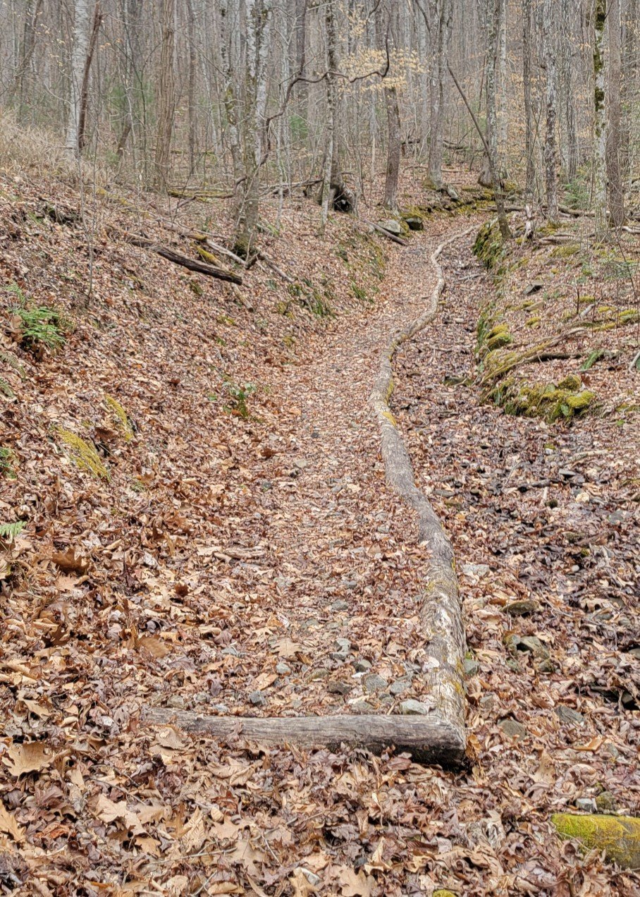
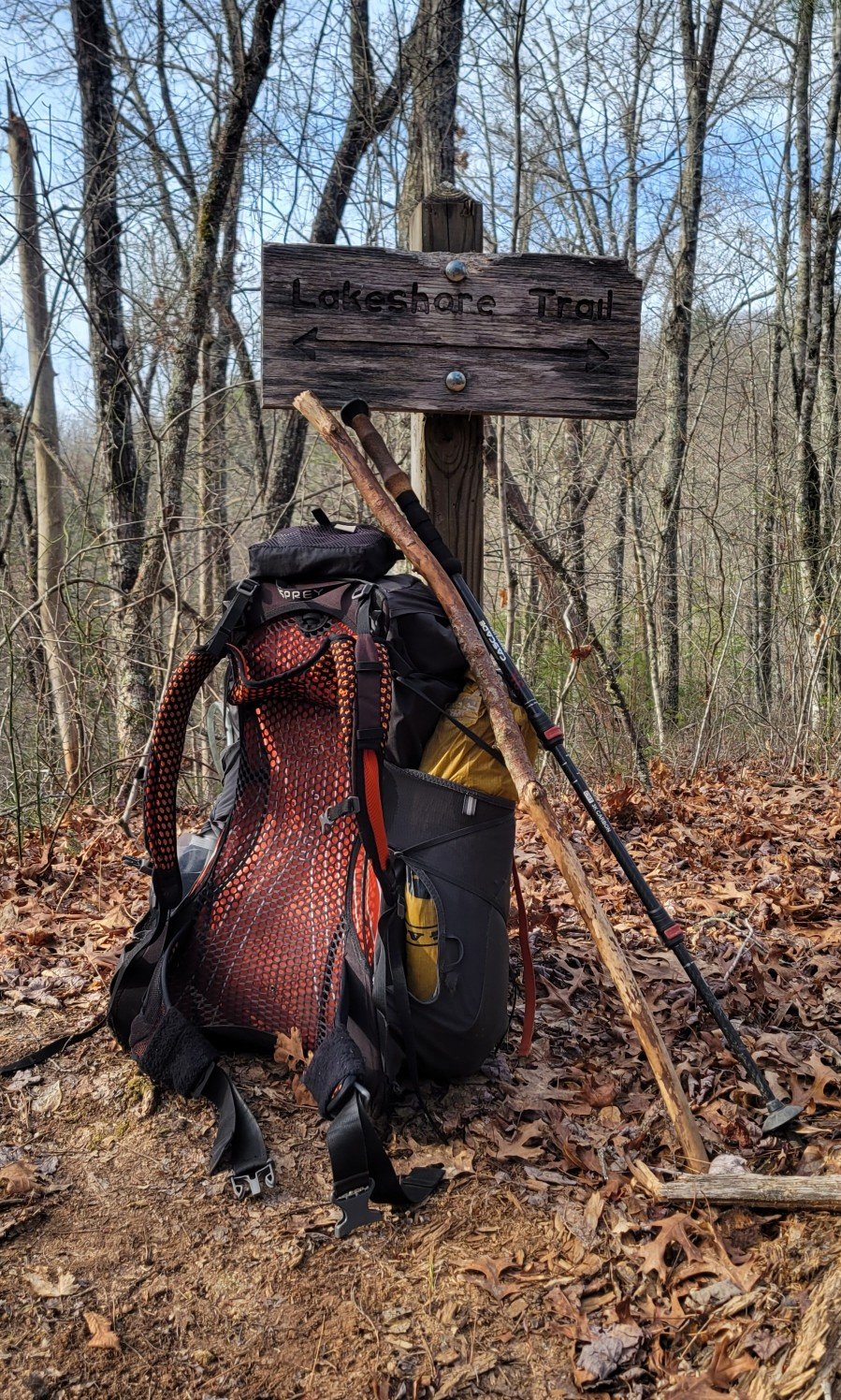
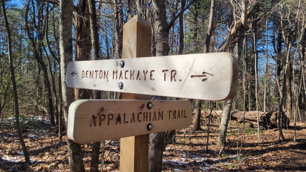
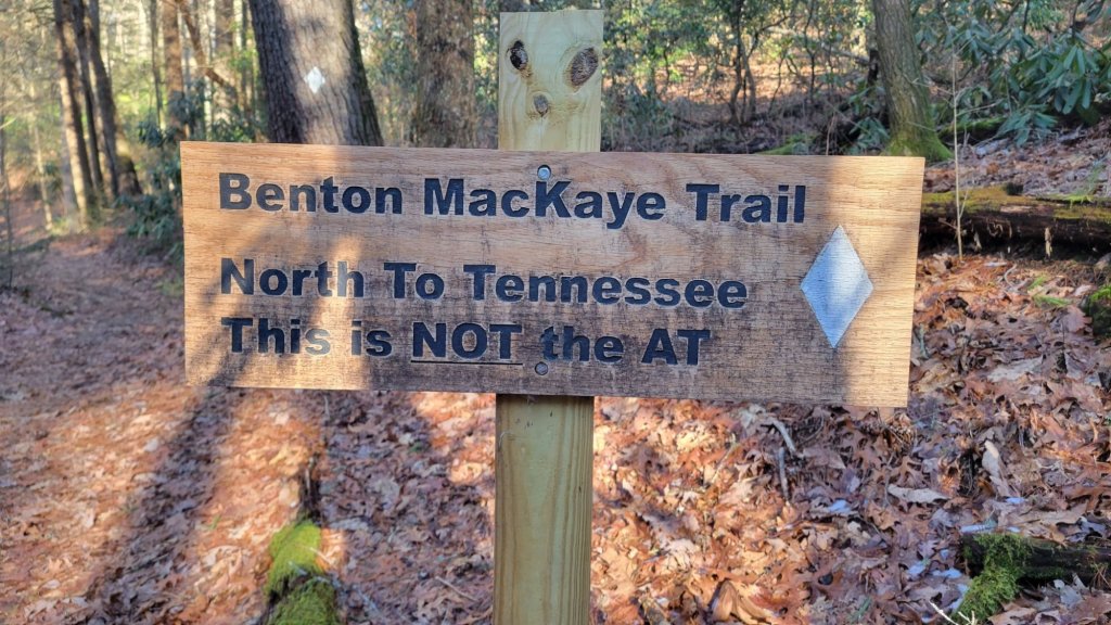
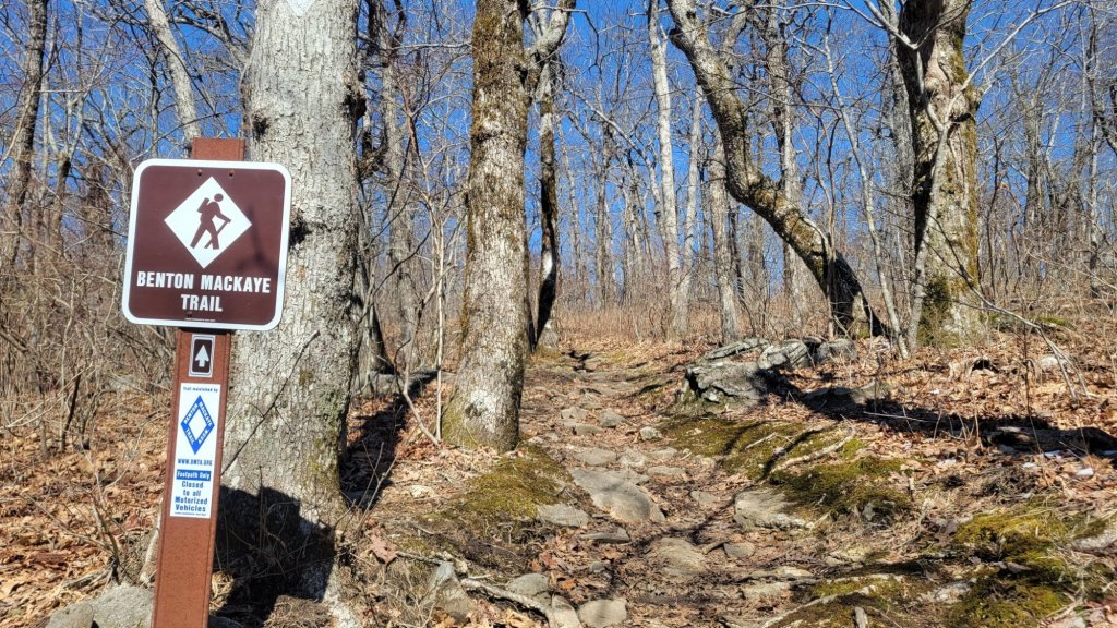
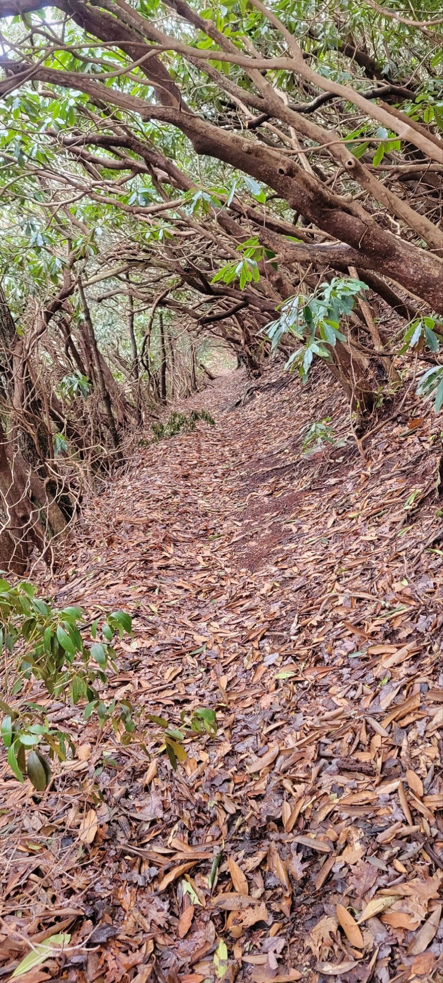
In addition, the Tuscarora Trail passes by the bicycle shop because the trail follows the canal tow path for 8 miles.
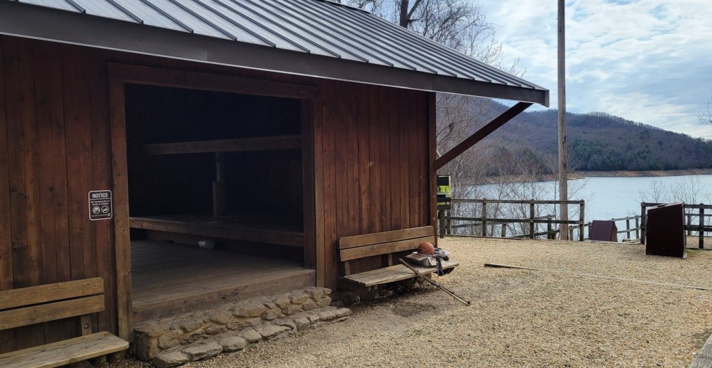
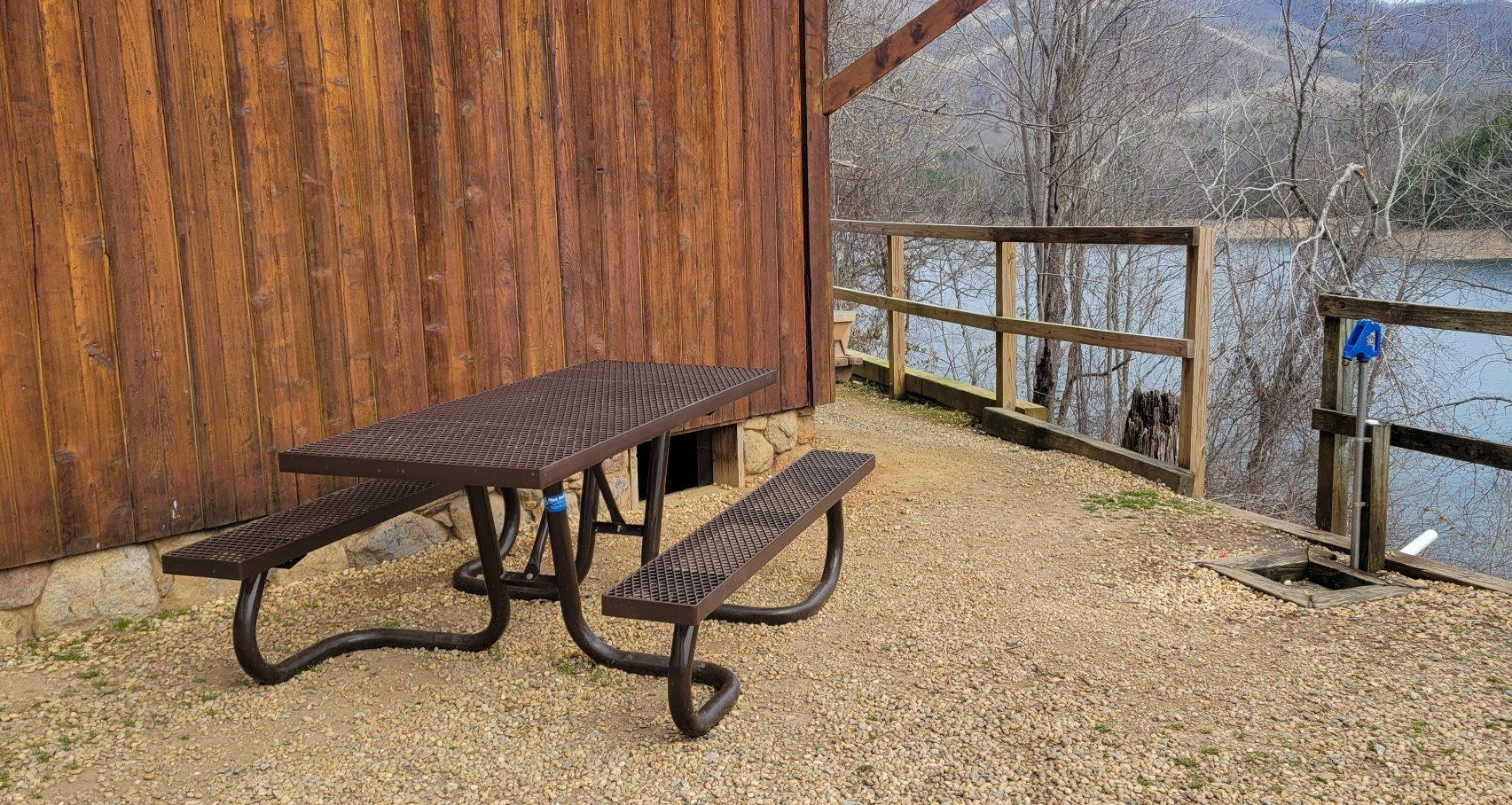
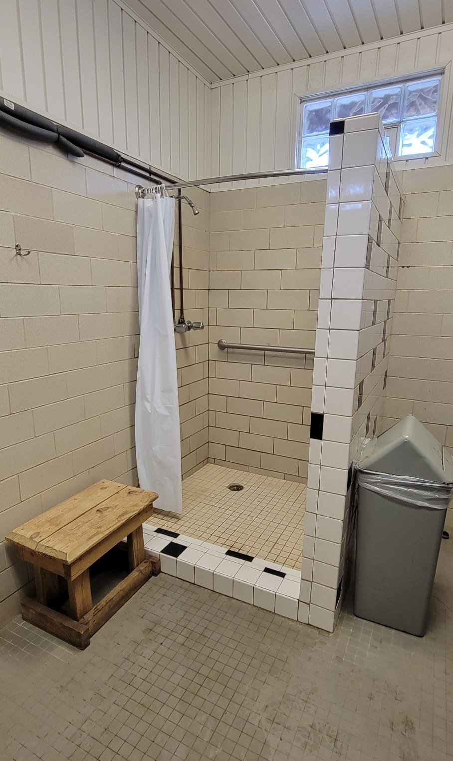
The bicycle shop operates a $15 per night bunkhouse where I’m spending the night. Here’s video showing you the bunkhouse and environs. Needless to say, I was expecting something more.
By the way, the bicycle shop is also a Husqvarna dealer — chain saws, weed eaters, and lawn mowers of all sizes. Not just sales of new equipment, but repair of old equipment as well. The bunkhouse ambiance is only added to when a mechanic or salesperson starts up a piece of equipment. Rrrrmmm.
I’ll let my long-time readers decide which is nicer, worse, odder, more interesting — Hikertown on the PCT or the C&O Bunkhouse.