c) Andrew Carter, 2022
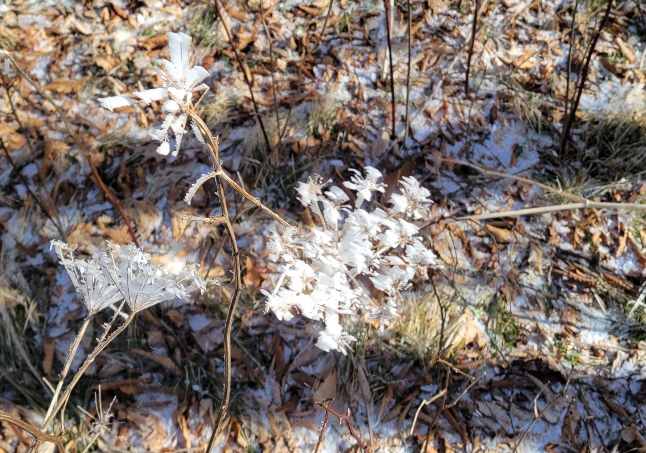
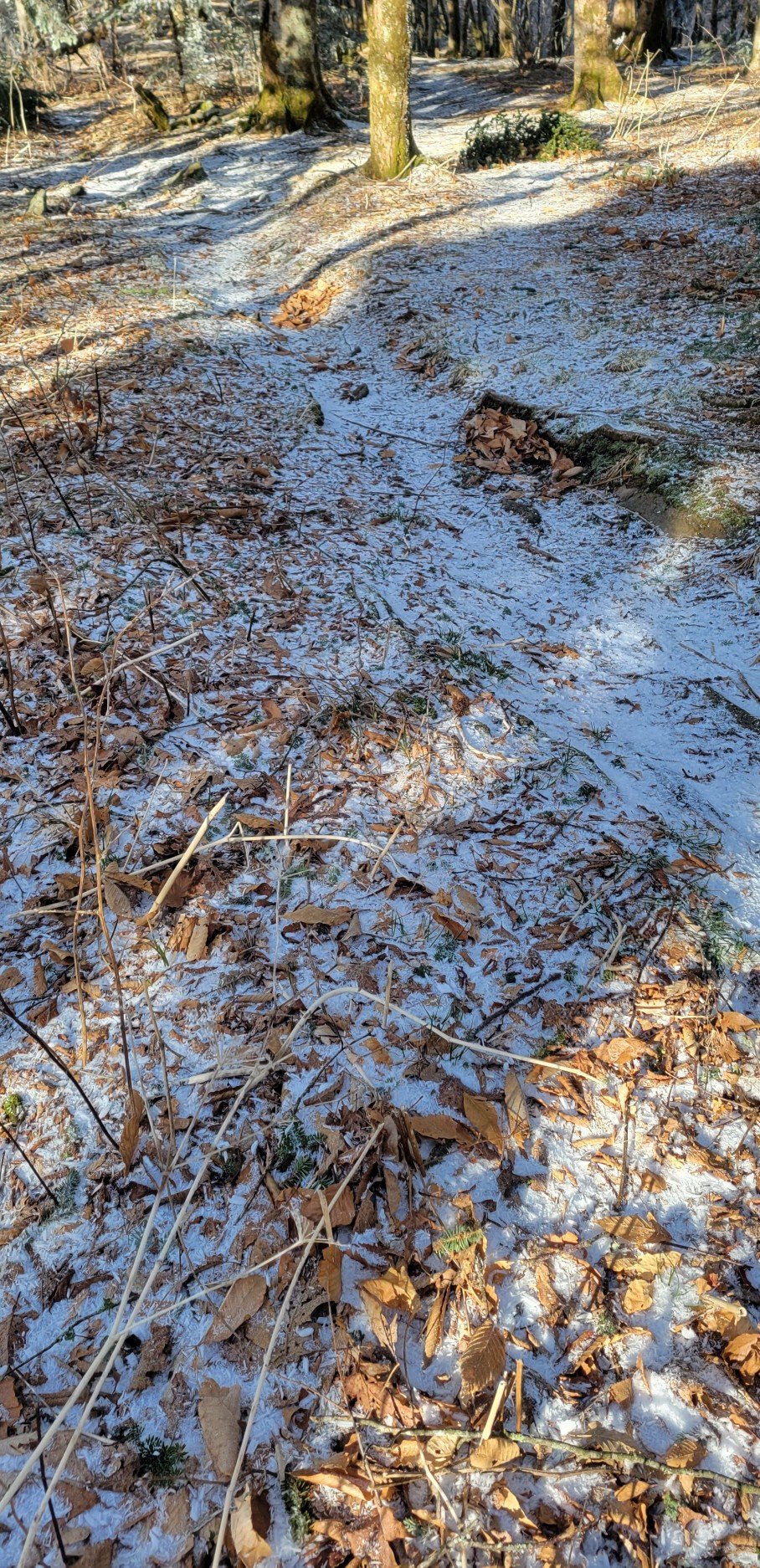
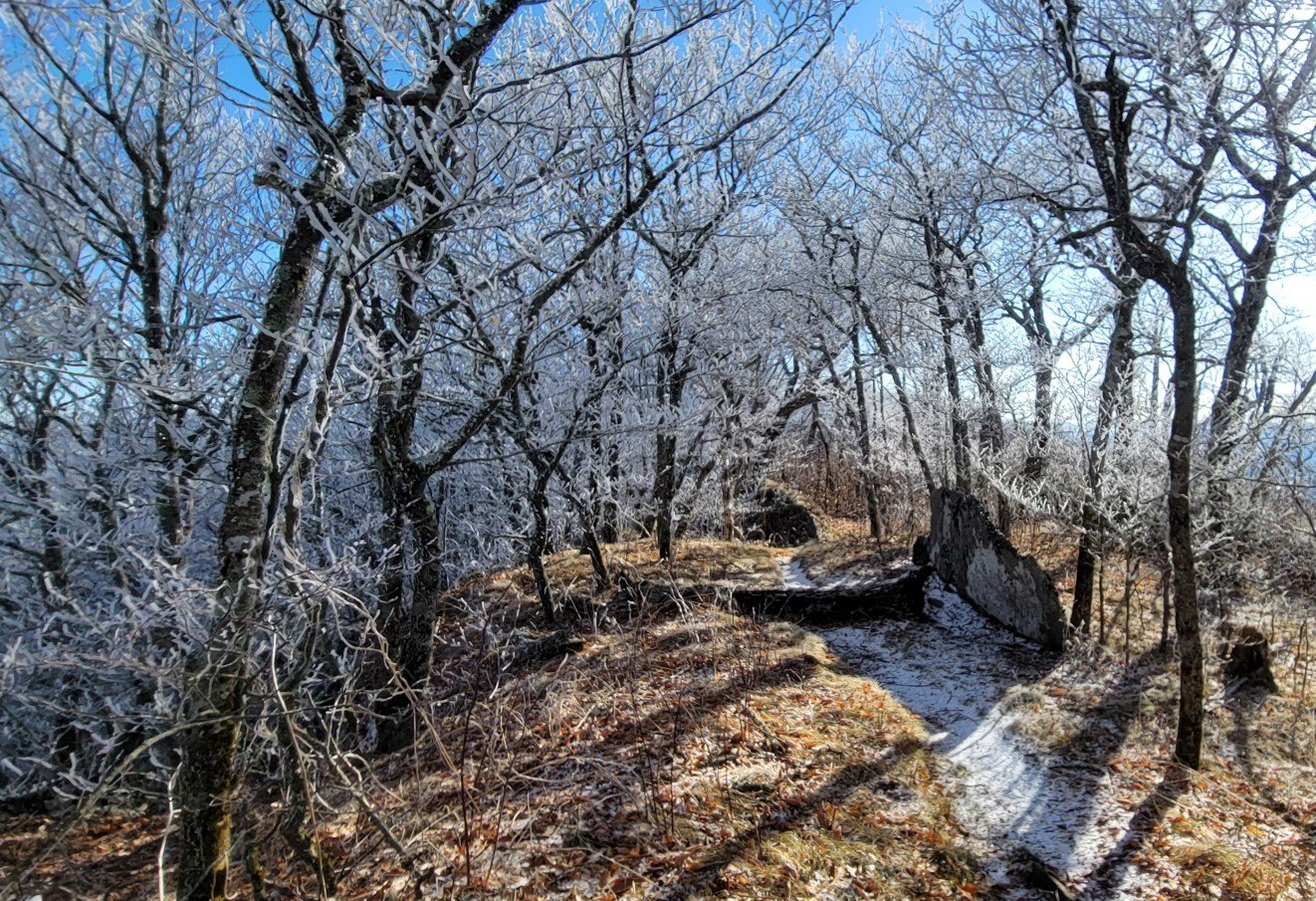
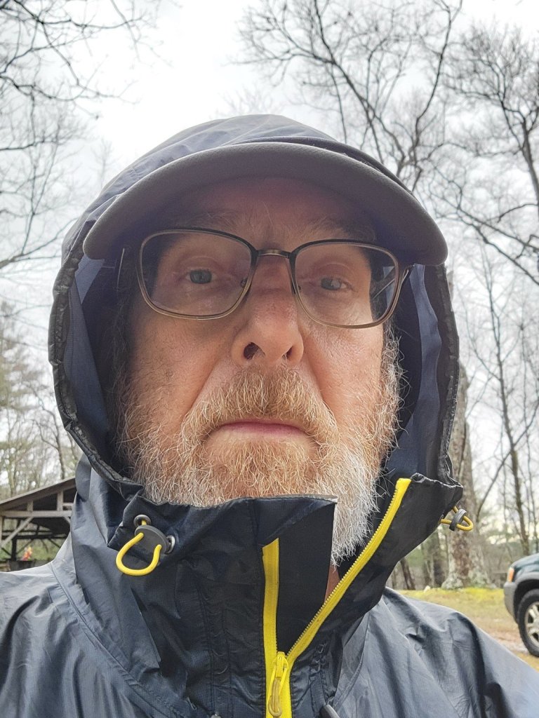
Who says it doesn’t get cold in Virginia in April?
c) Andrew Carter, 2022
Who says it doesn’t get cold in Virginia in April?
c) Andrew Carter, 2022
The C&O Bicycle Shop is in Hancock, MD. As the name implies, it’s located on the former Chesapeake & Ohio Canal, which runs beside the Potomac River for 185 miles from Washington, DC to Cumberland, MD
The canal still exists, although it is in disrepair and unused. The former canal towpath, however, is actively used as a long-distance bicycle path.
The bicycle shop is next to not one, but two bicycle paths. On one side of the shop building is the canal tow path. On the other side is the Western Maryland Rail Trail which runs for 26 miles along abandoned right of way of the Western Maryland Railroad.
In addition, the Tuscarora Trail passes by the bicycle shop because the trail follows the canal tow path for 8 miles.
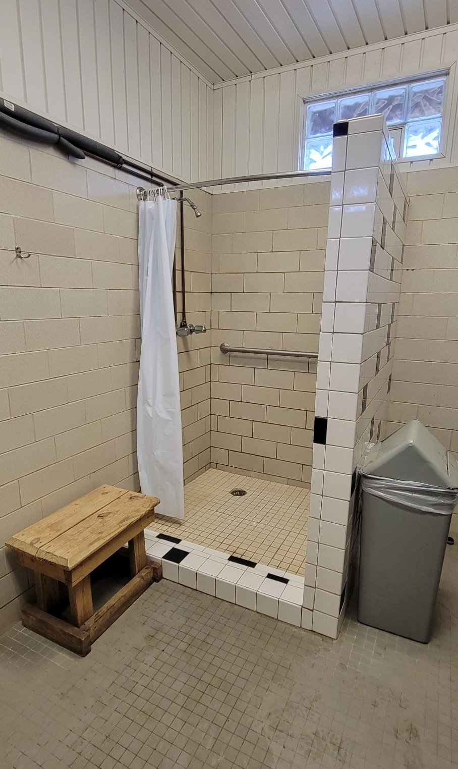
The bicycle shop operates a $15 per night bunkhouse where I’m spending the night. Here’s video showing you the bunkhouse and environs. Needless to say, I was expecting something more.
By the way, the bicycle shop is also a Husqvarna dealer — chain saws, weed eaters, and lawn mowers of all sizes. Not just sales of new equipment, but repair of old equipment as well. The bunkhouse ambiance is only added to when a mechanic or salesperson starts up a piece of equipment. Rrrrmmm.
I’ll let my long-time readers decide which is nicer, worse, odder, more interesting — Hikertown on the PCT or the C&O Bunkhouse.
c) Andrew Carter, 2022
Eagles Nest is on the Virginia / West Virginia line, approximately 100 miles due west of Washington, DC.
Here’s the view. At the start, I’m looking southeast. At the end, northeast.
c) Andrew Carter, 2022
I was surprised by a late afternoon rain shower yesterday. I thought I’d let you here what it sounds like. Rain on me in my rain gear plus rain on all the dead leaves in the forest.
c) Andrew Carter, 2022
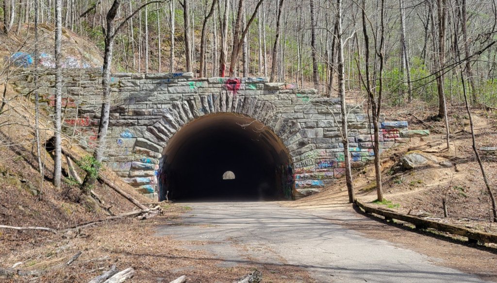
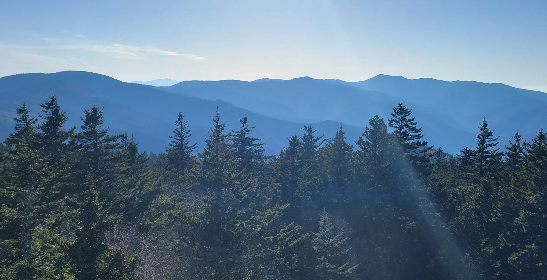
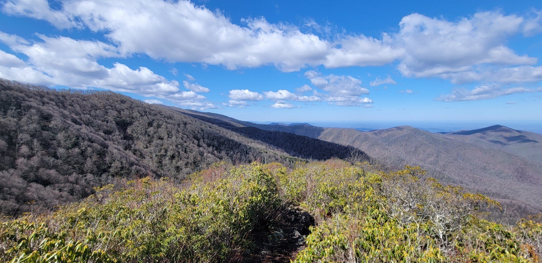
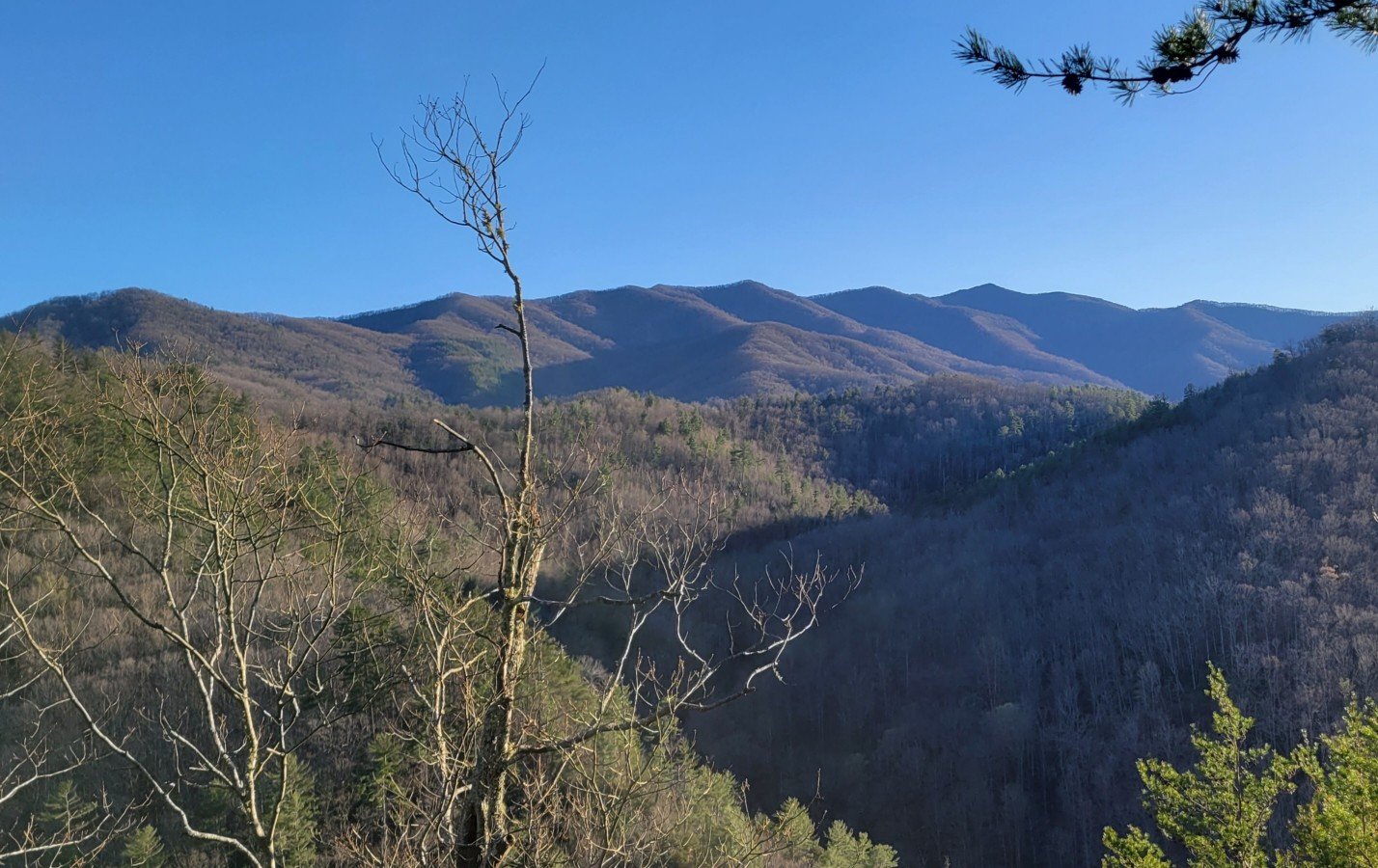
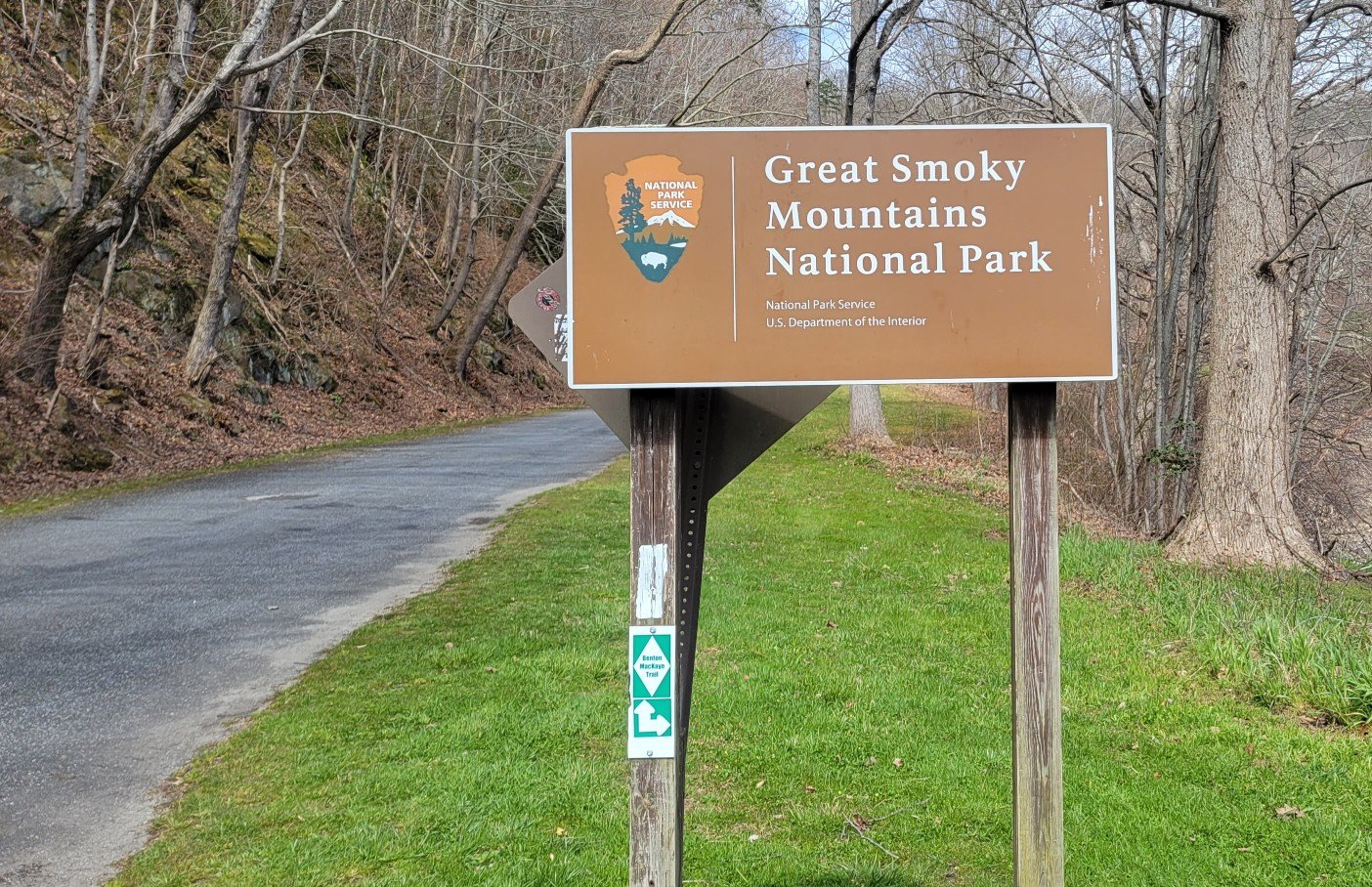
Here are photos of the BMT from Reliance, TN to the northern terminus at Big Creek, near the north end of Great Smokey Mountain National Park (GSMNP).
The BMT is 290 miles long. I was only able to hike 265 miles. I had to skip 25 miles in GSMNP due to trail closures related to wildfires. I can’t seem to escape wildfires, even in the East. It’s spring, it’s raining in the East, yet there are wildfires. Crazy.
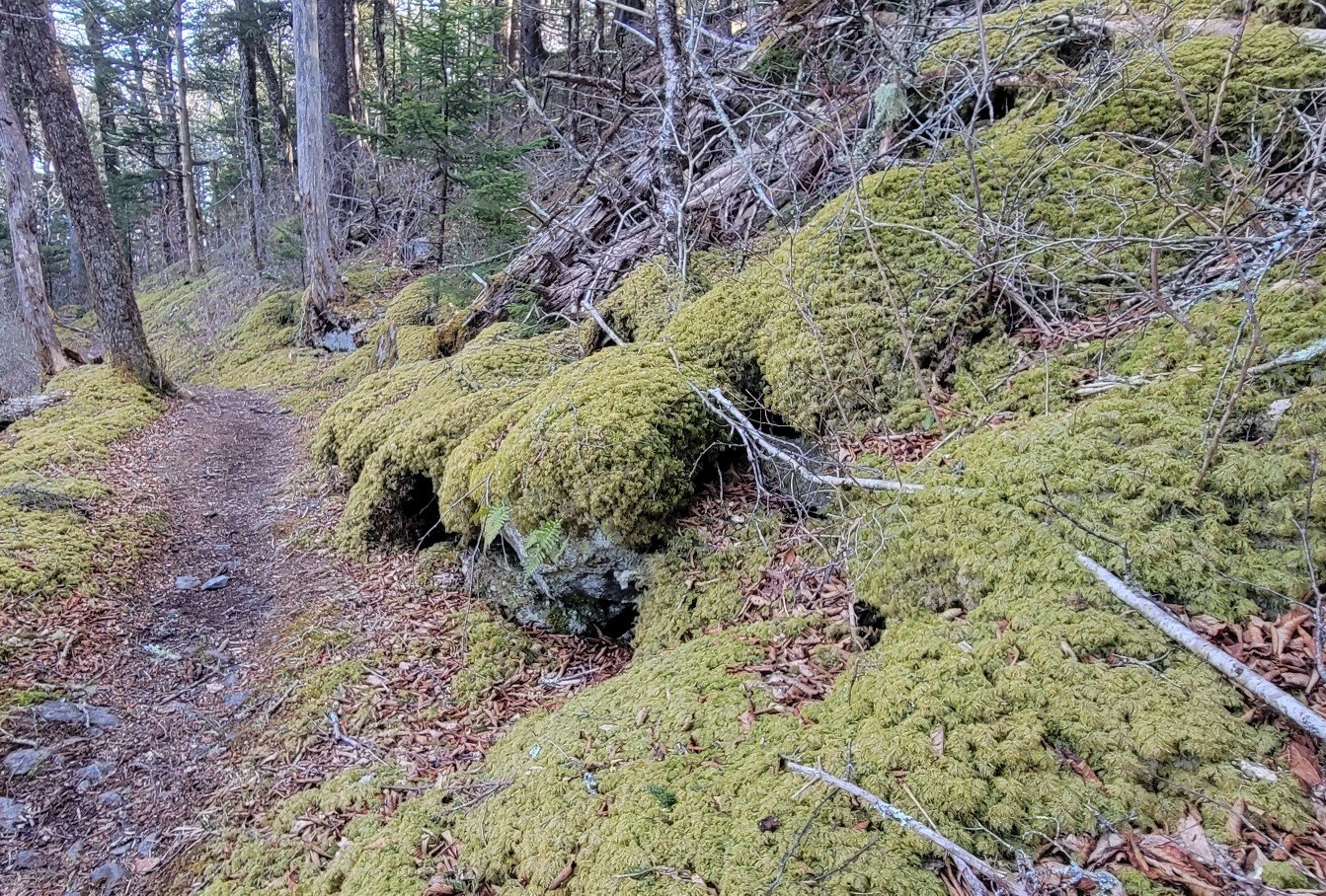
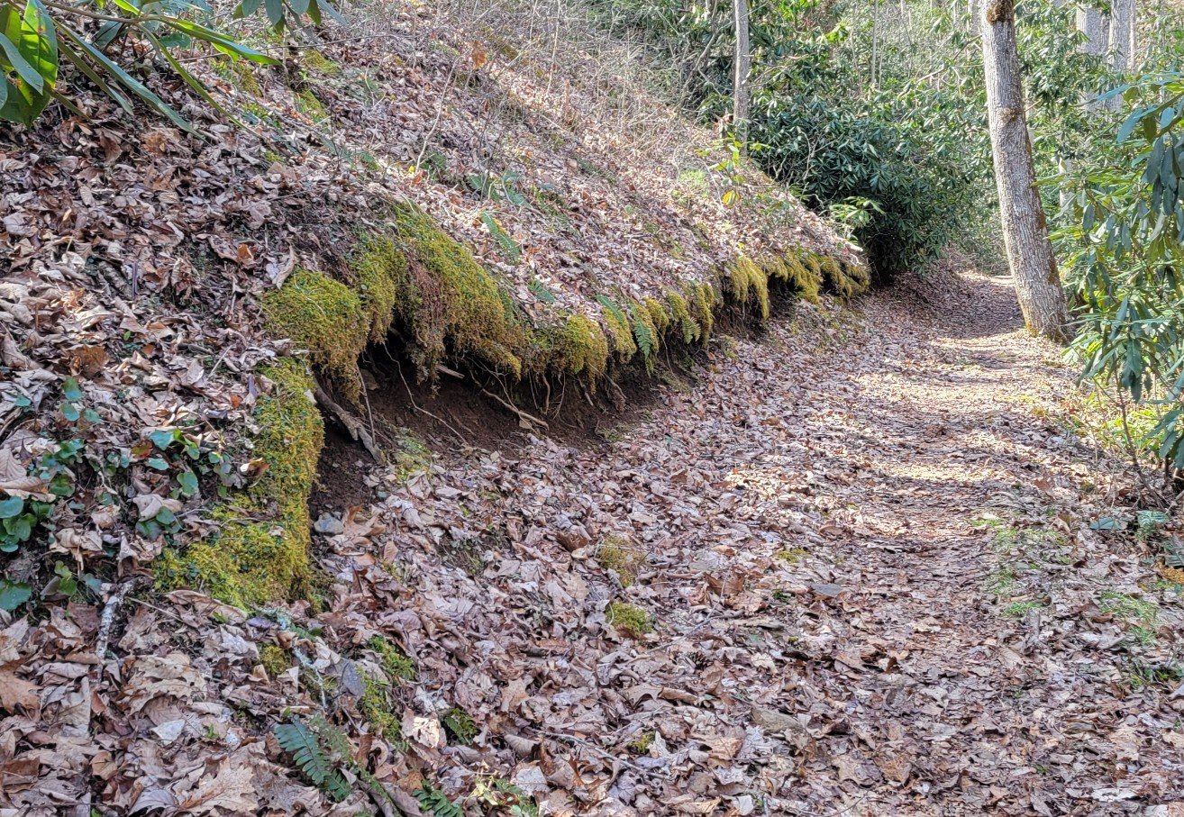
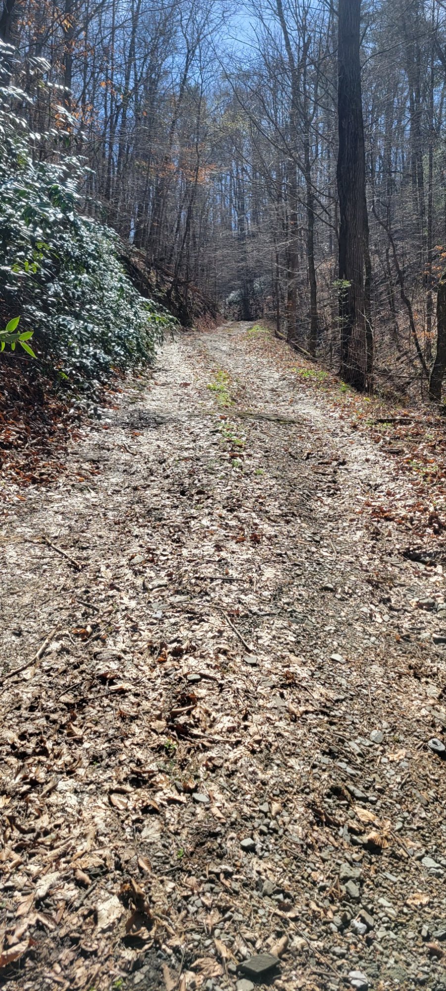
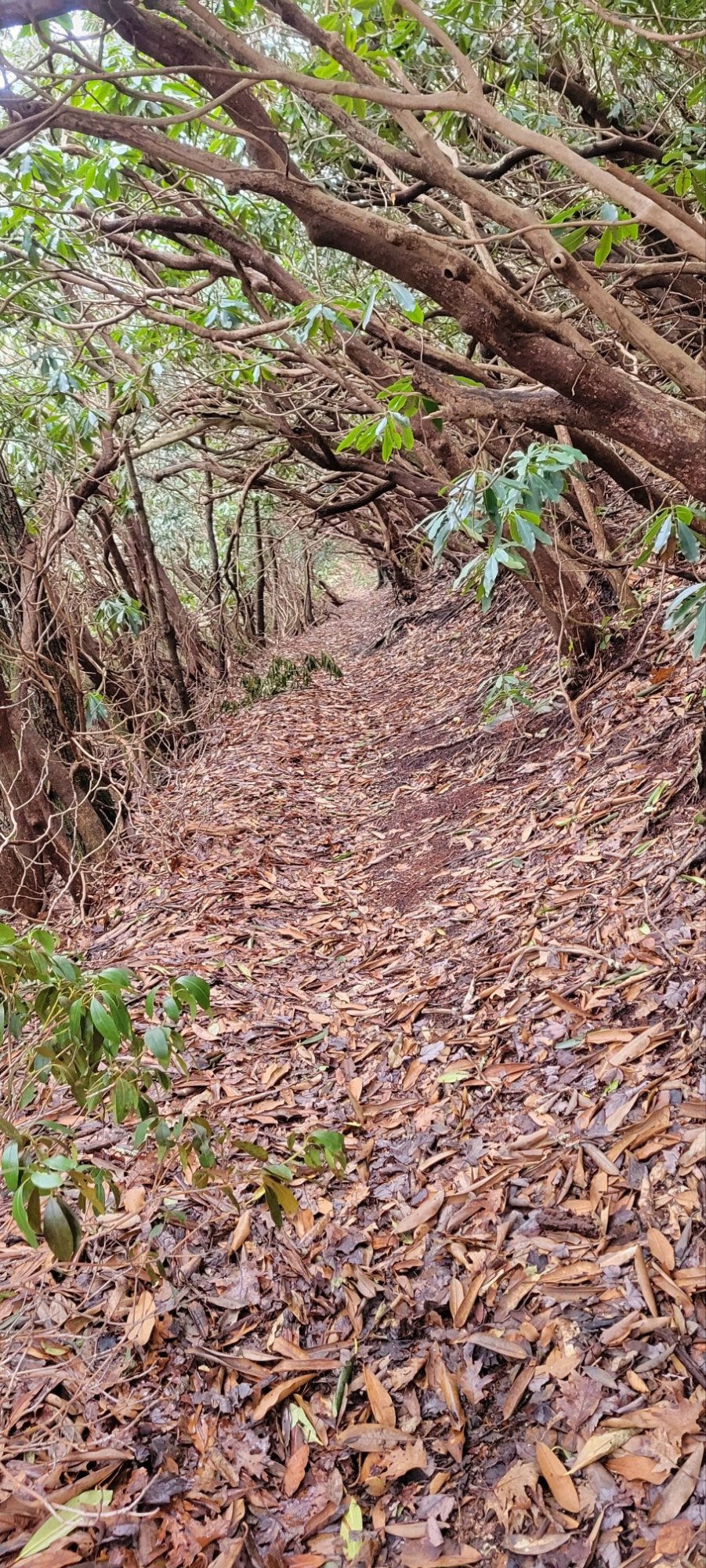
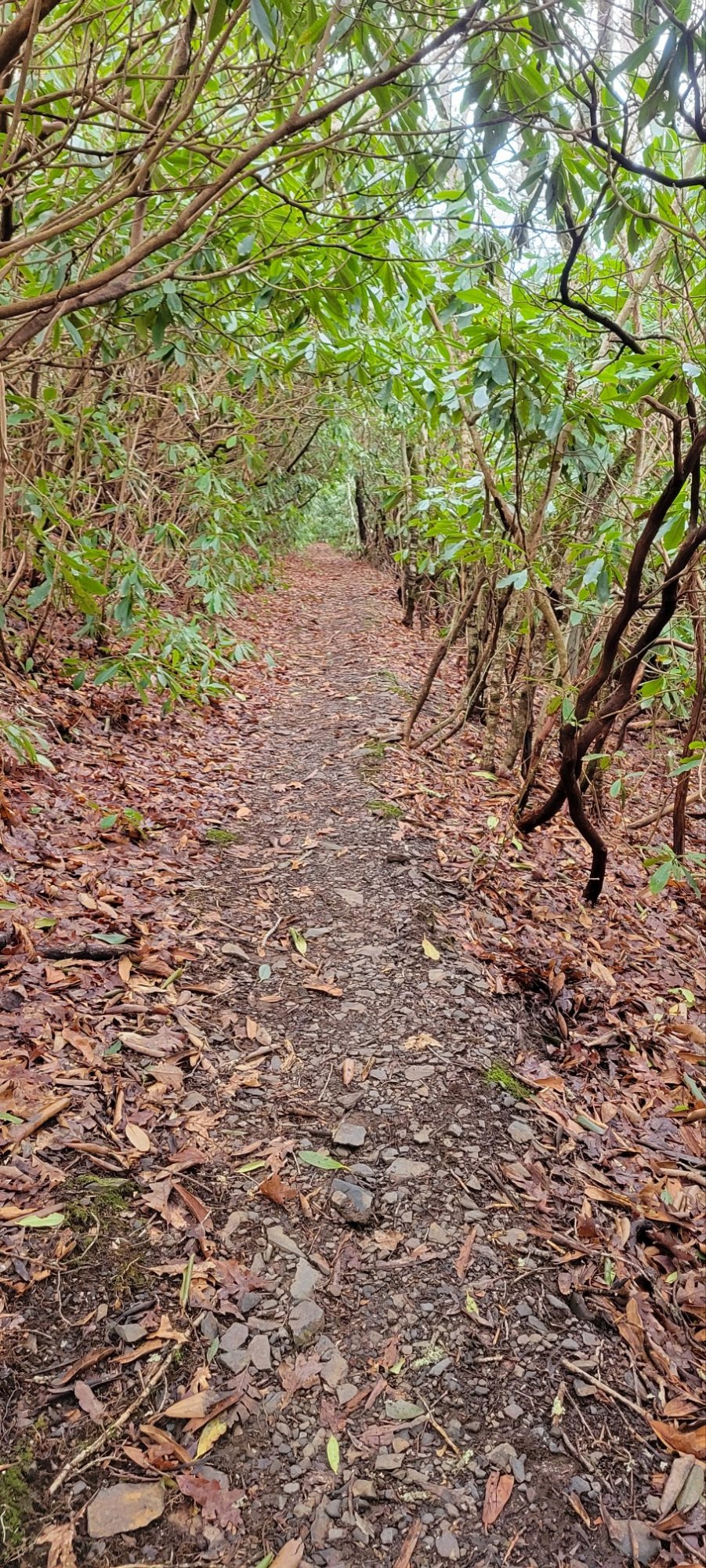
The Trail


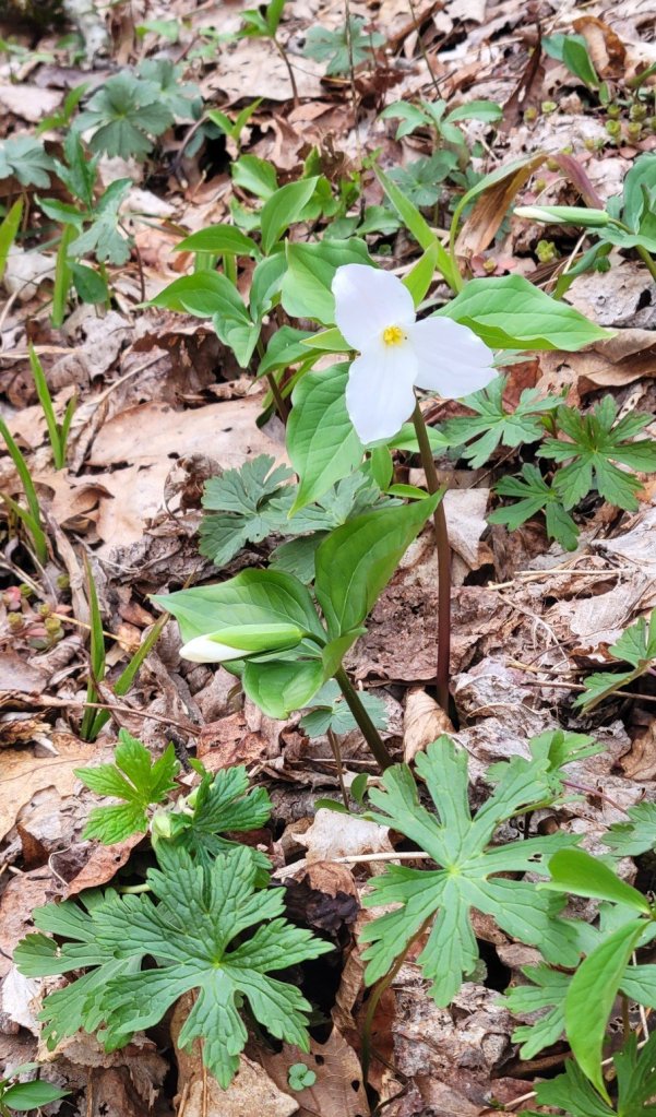
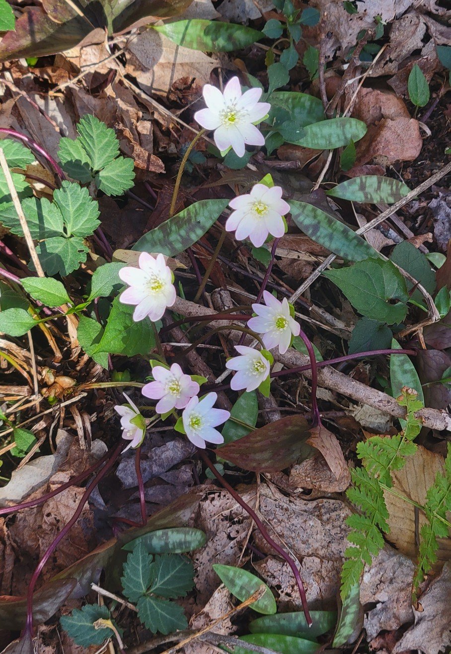
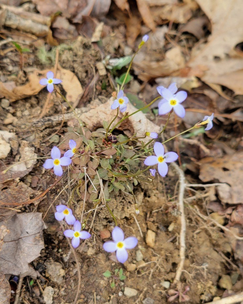
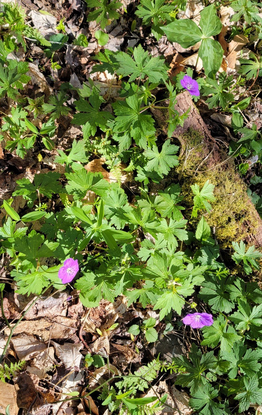
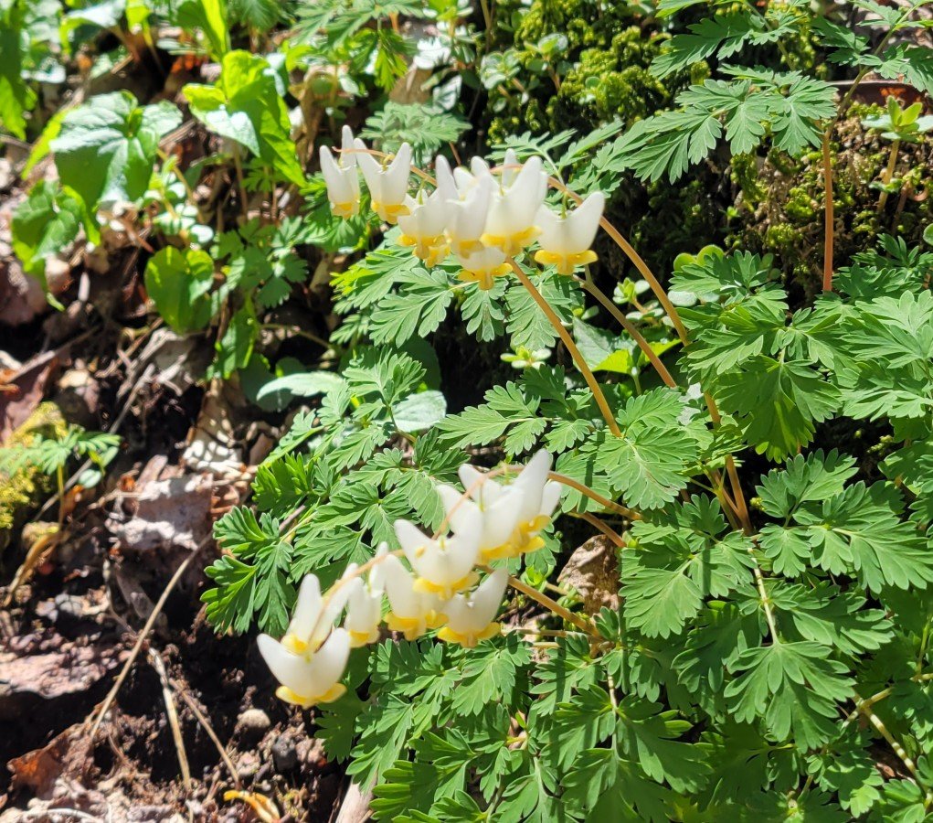
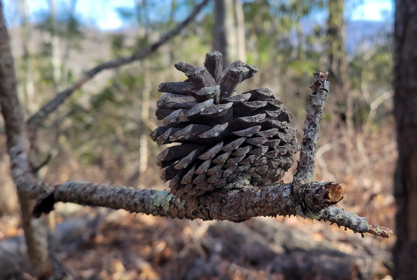
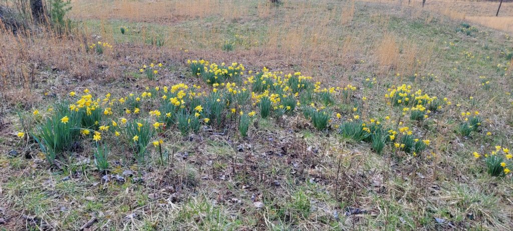
Spring Flowers


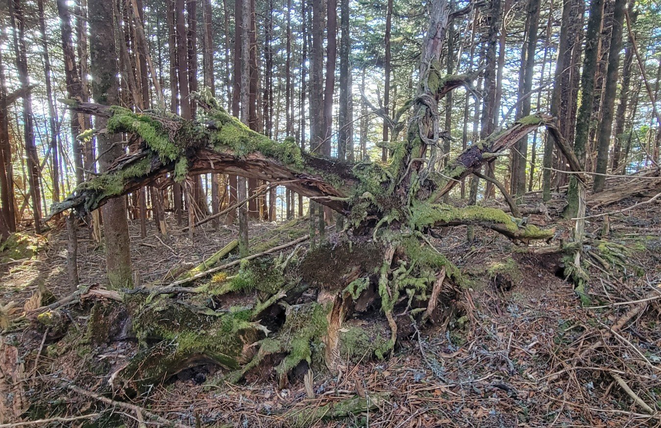
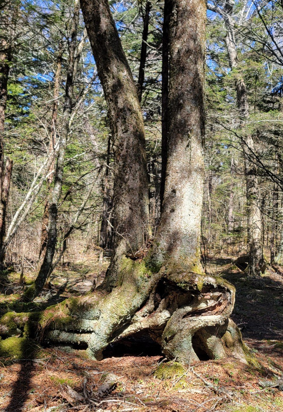
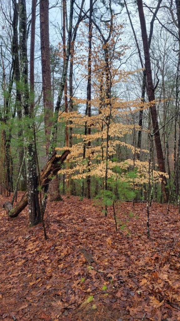
Mother Nature
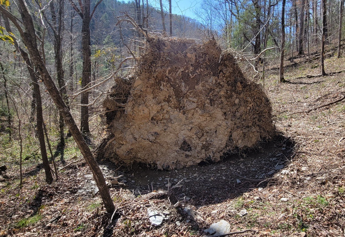
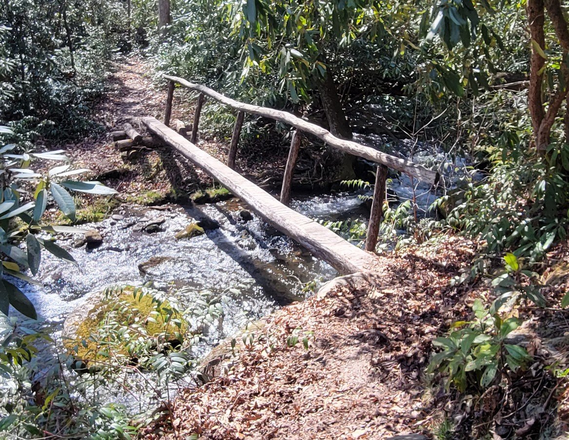
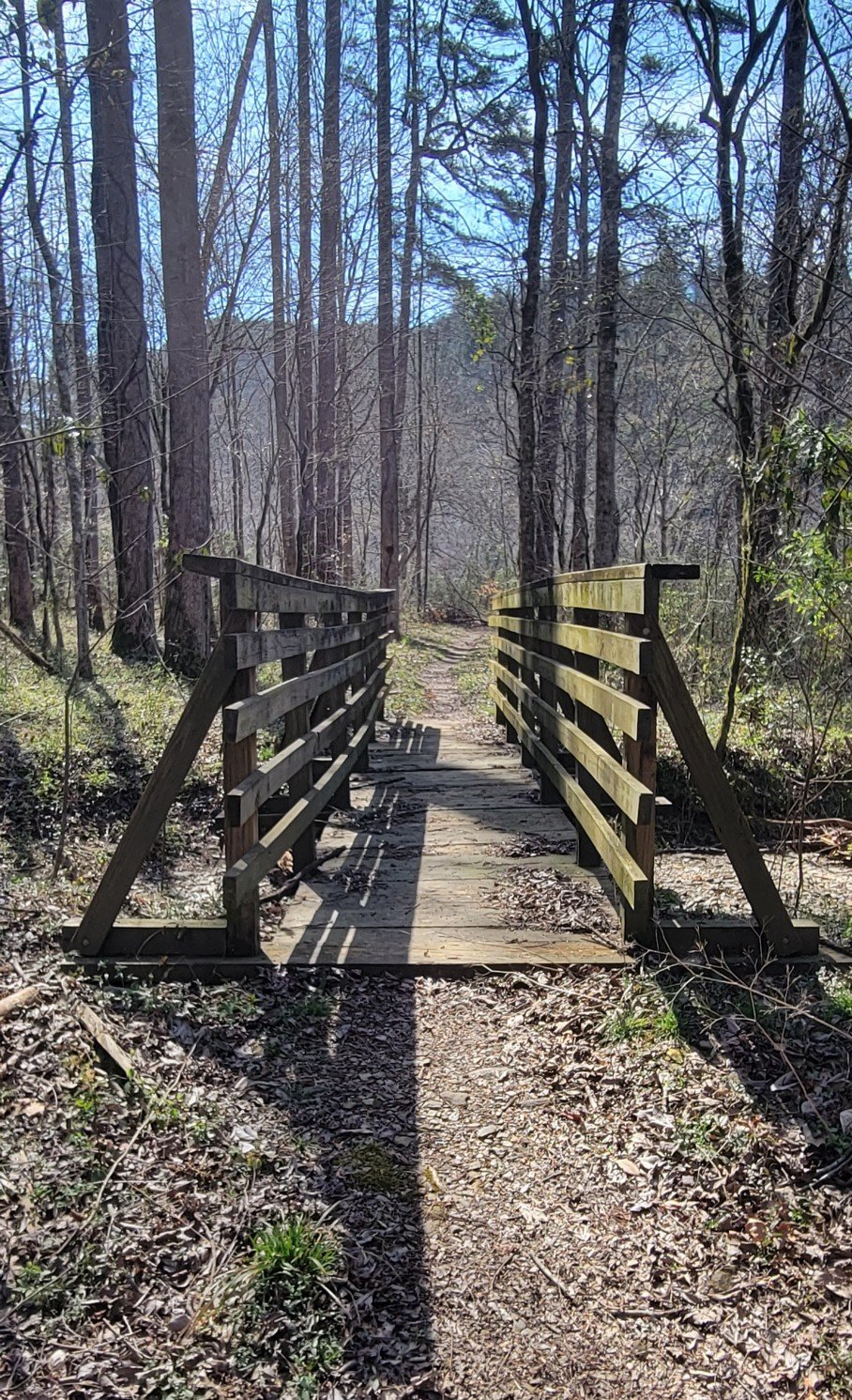
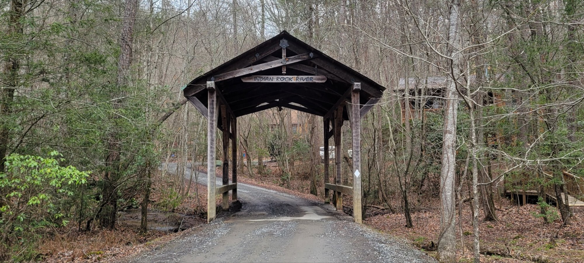
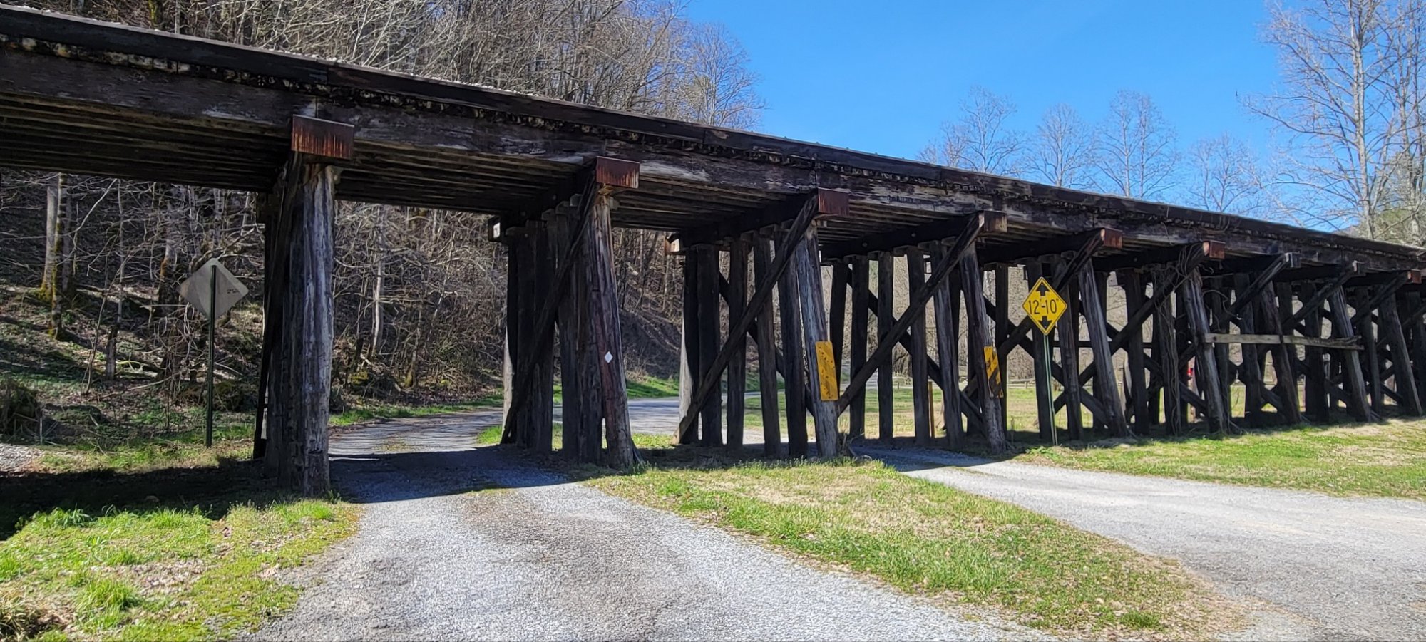
Bridges


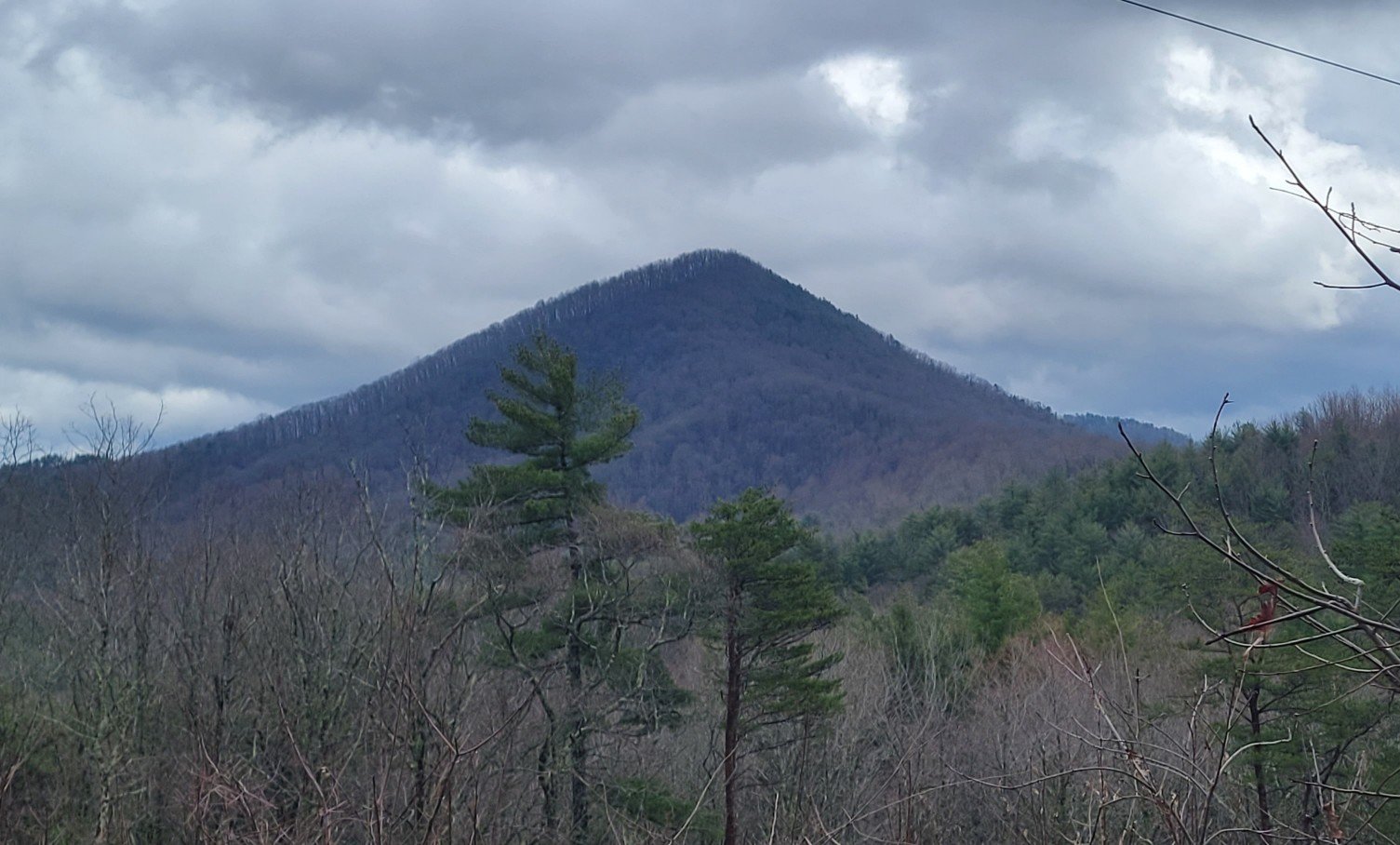
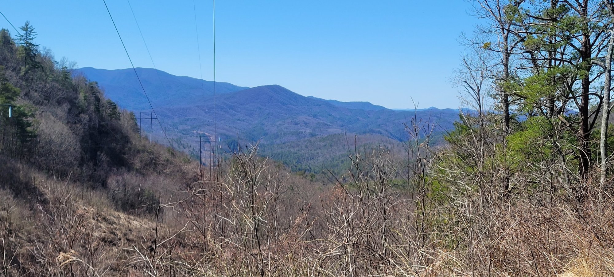
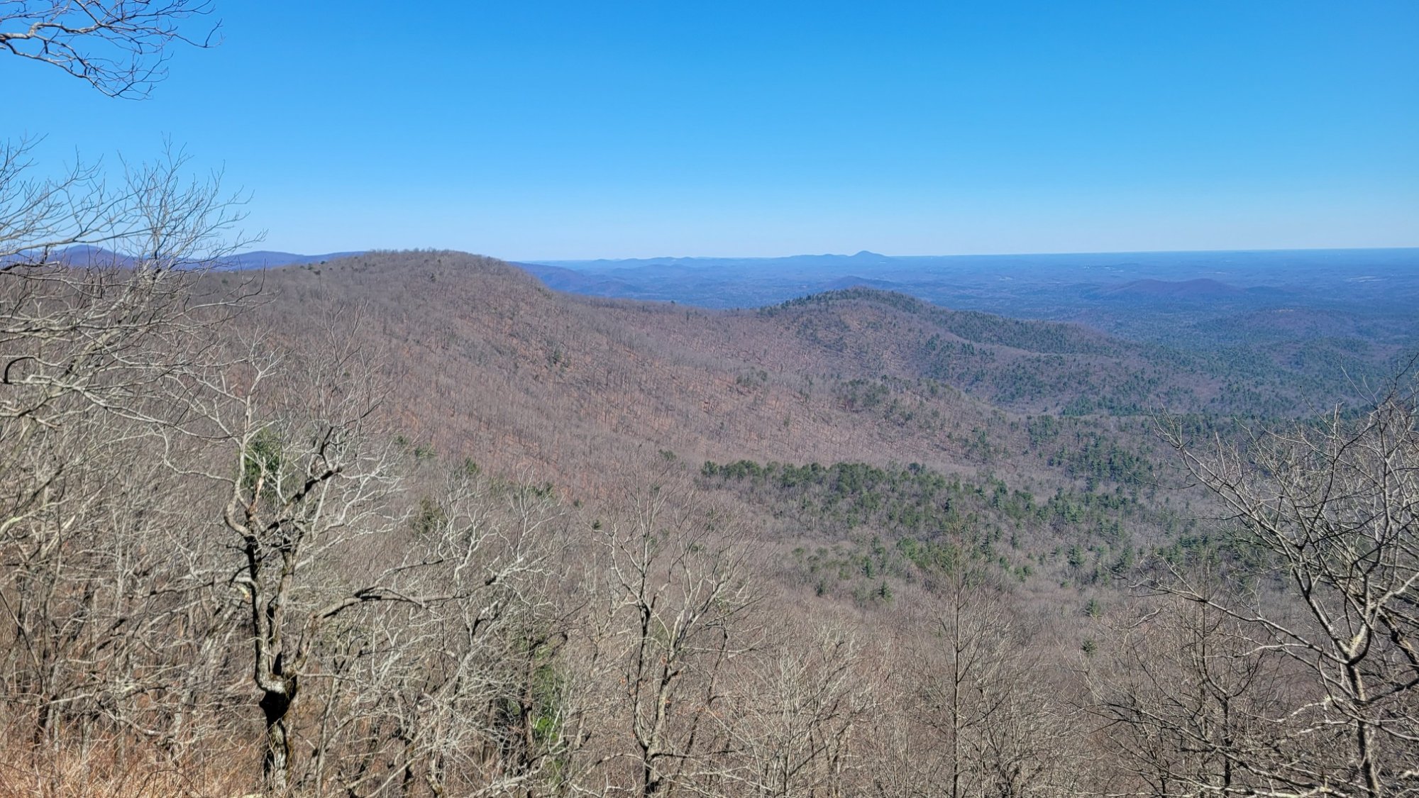
Scenic Views


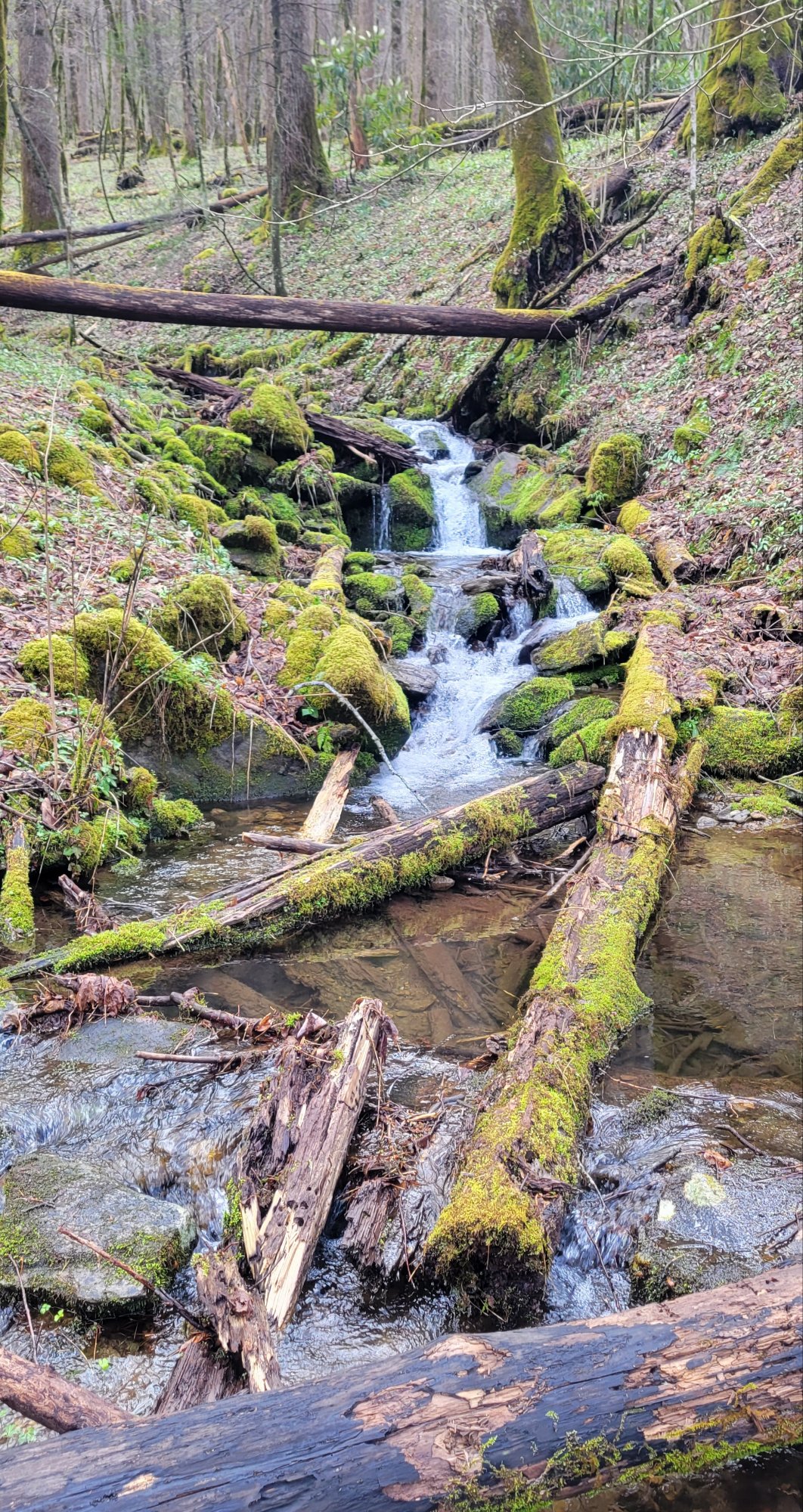
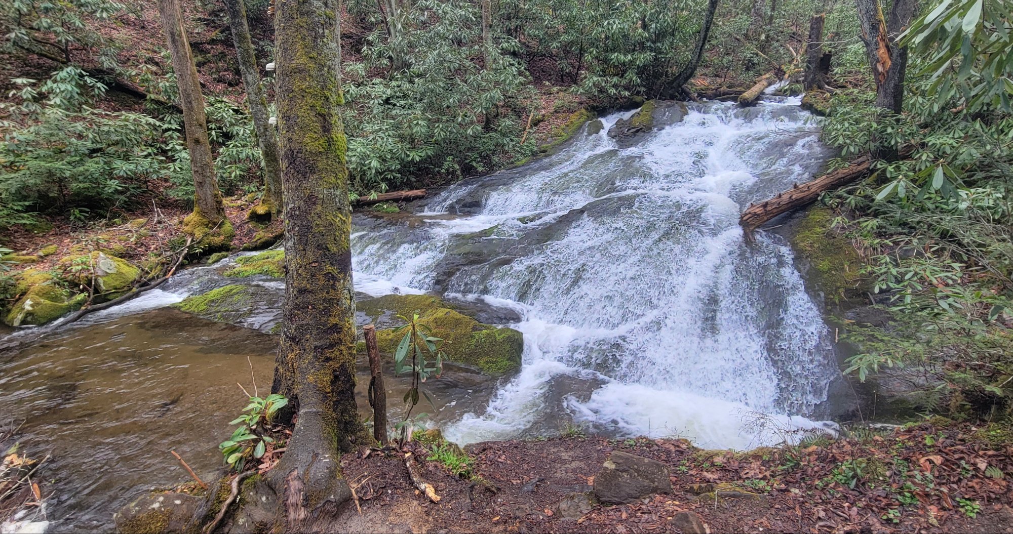
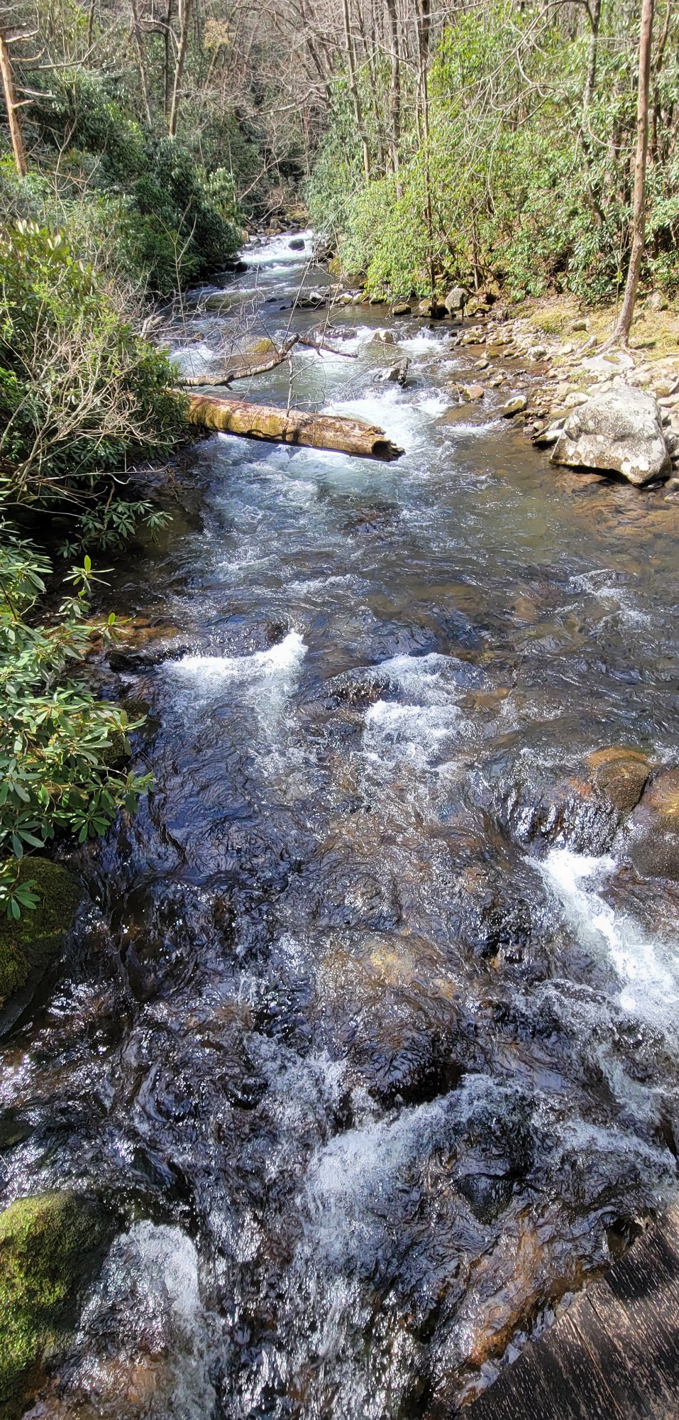
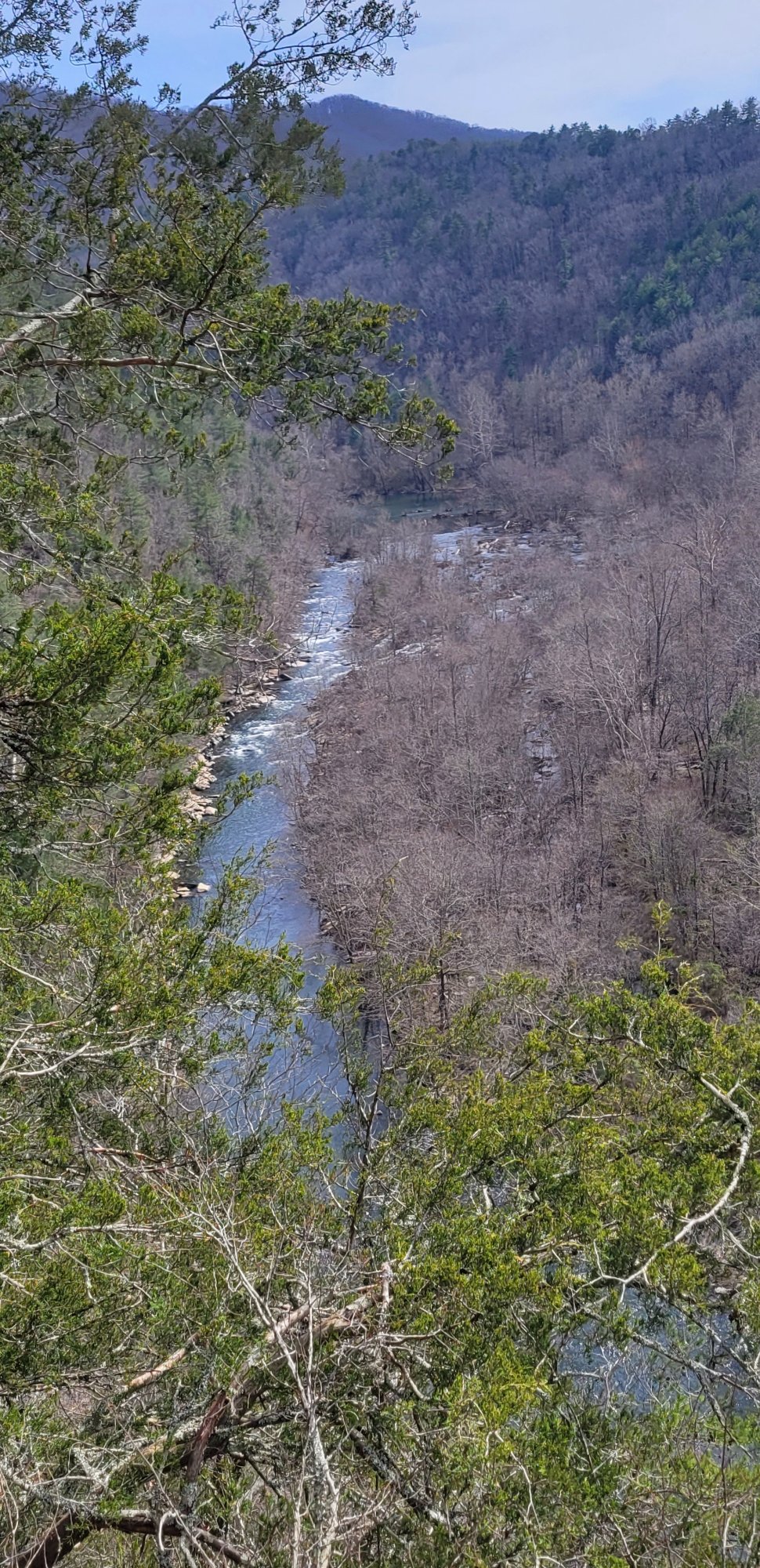
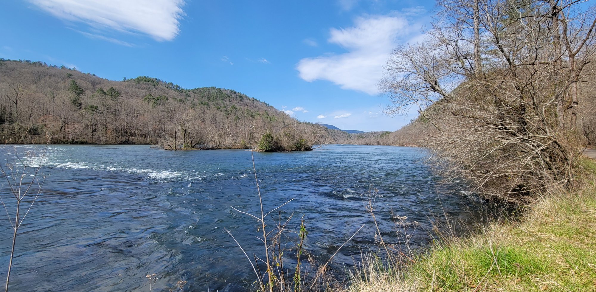
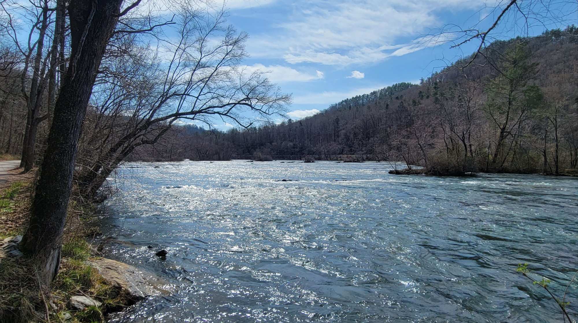
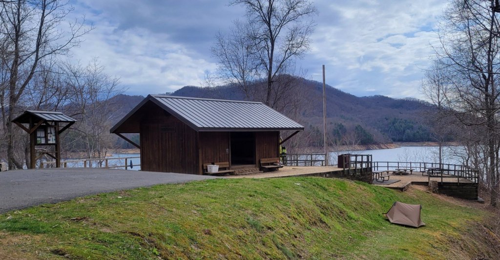
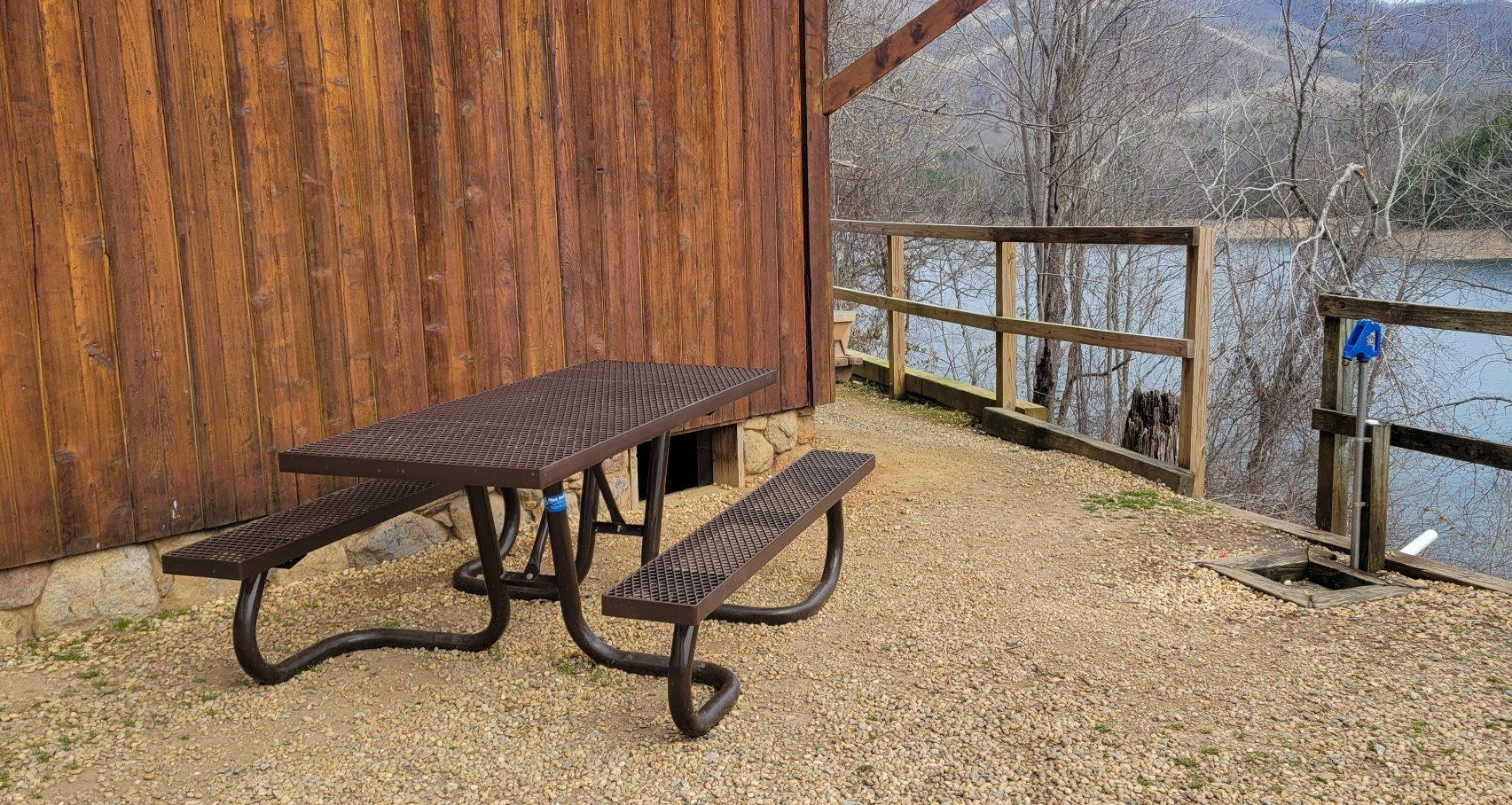
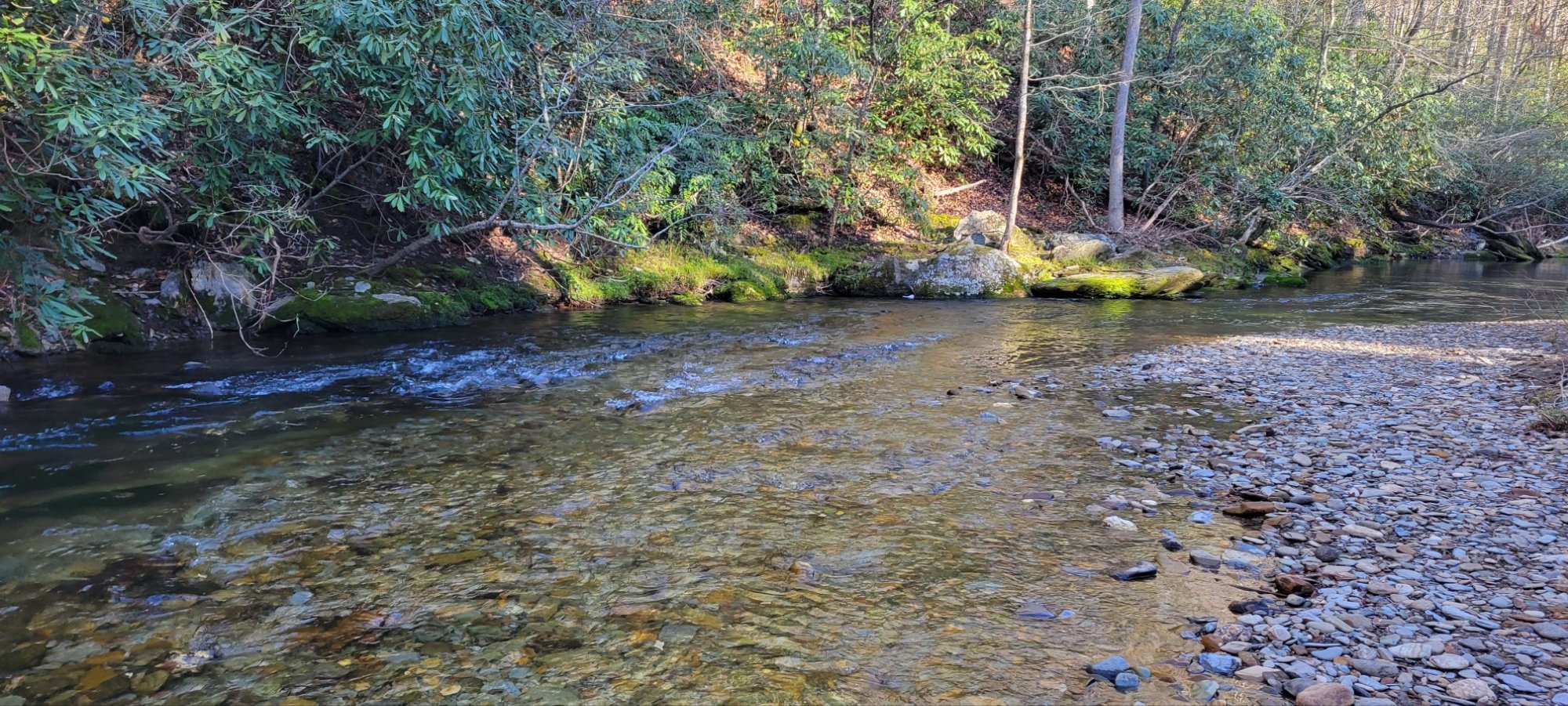
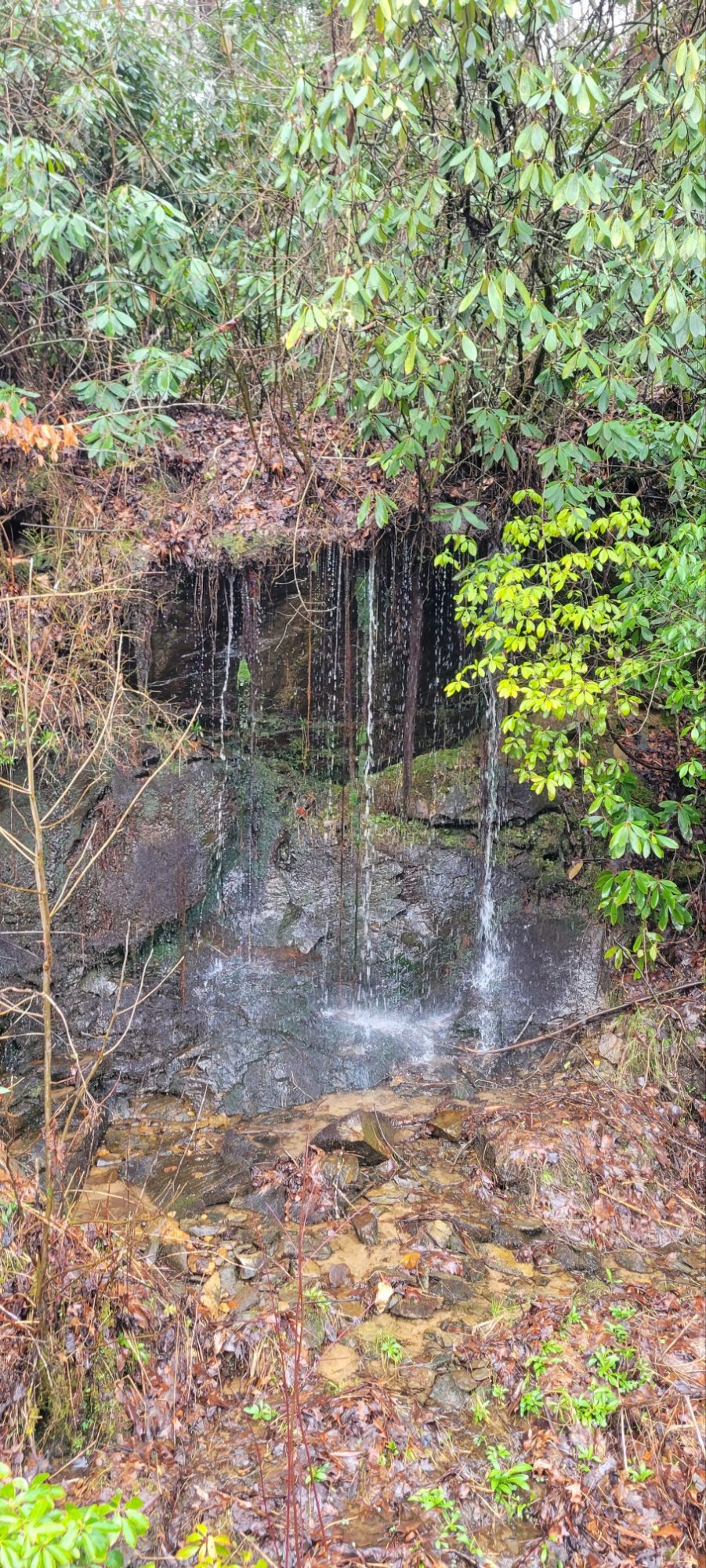
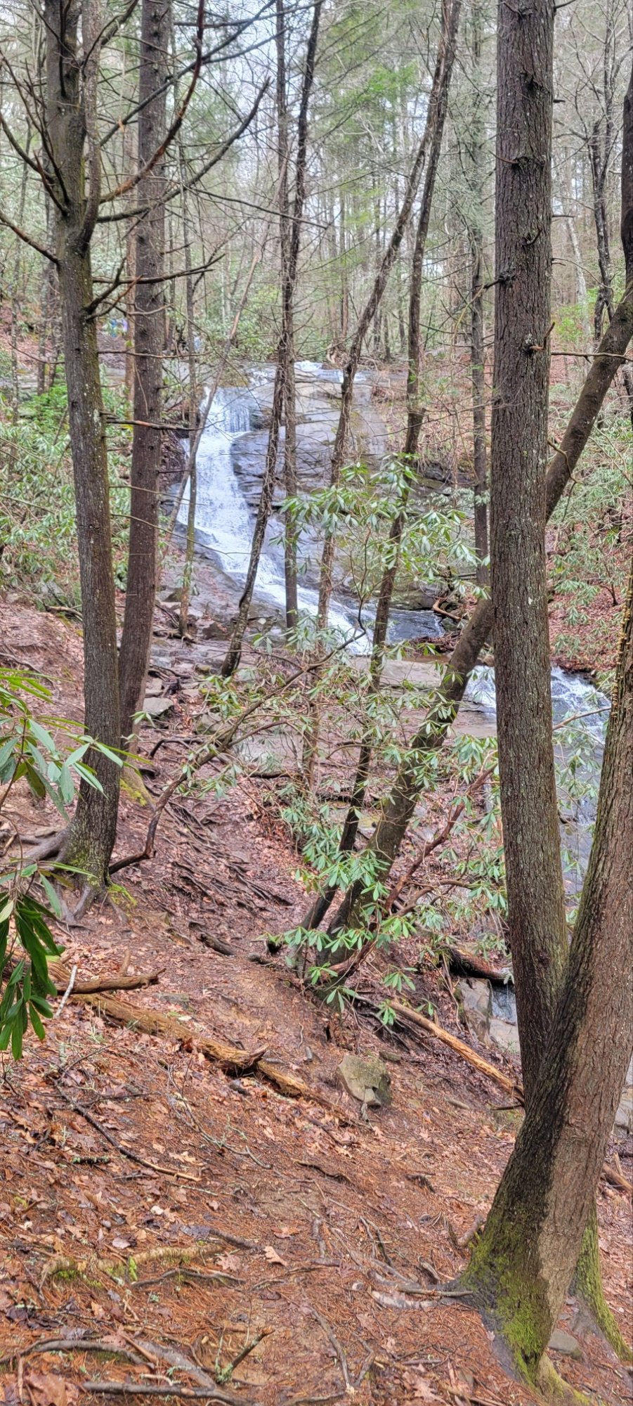
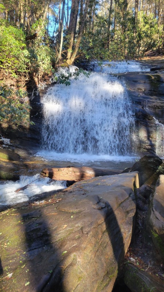
Views of Water


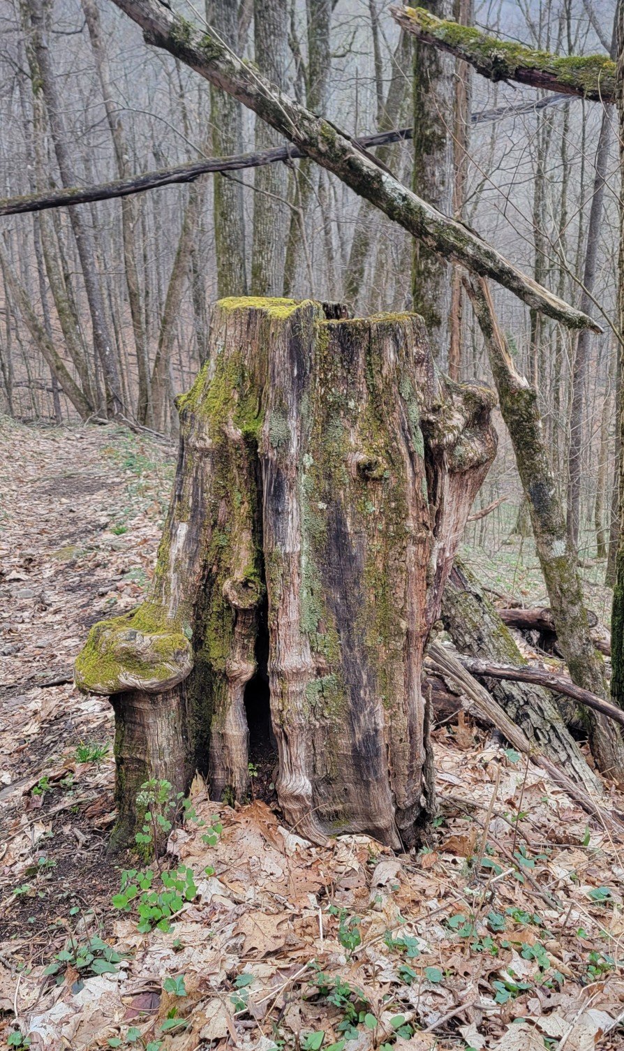
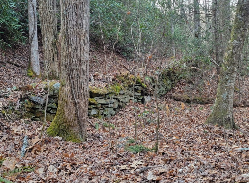
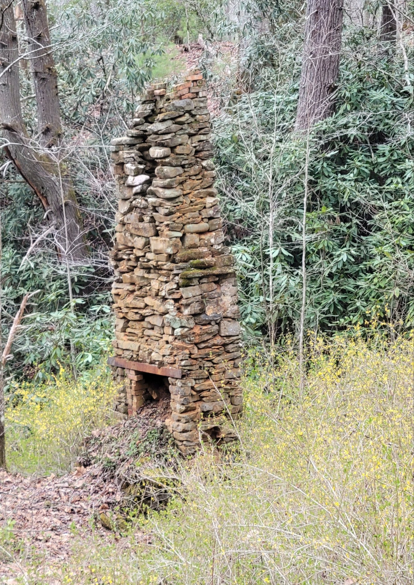
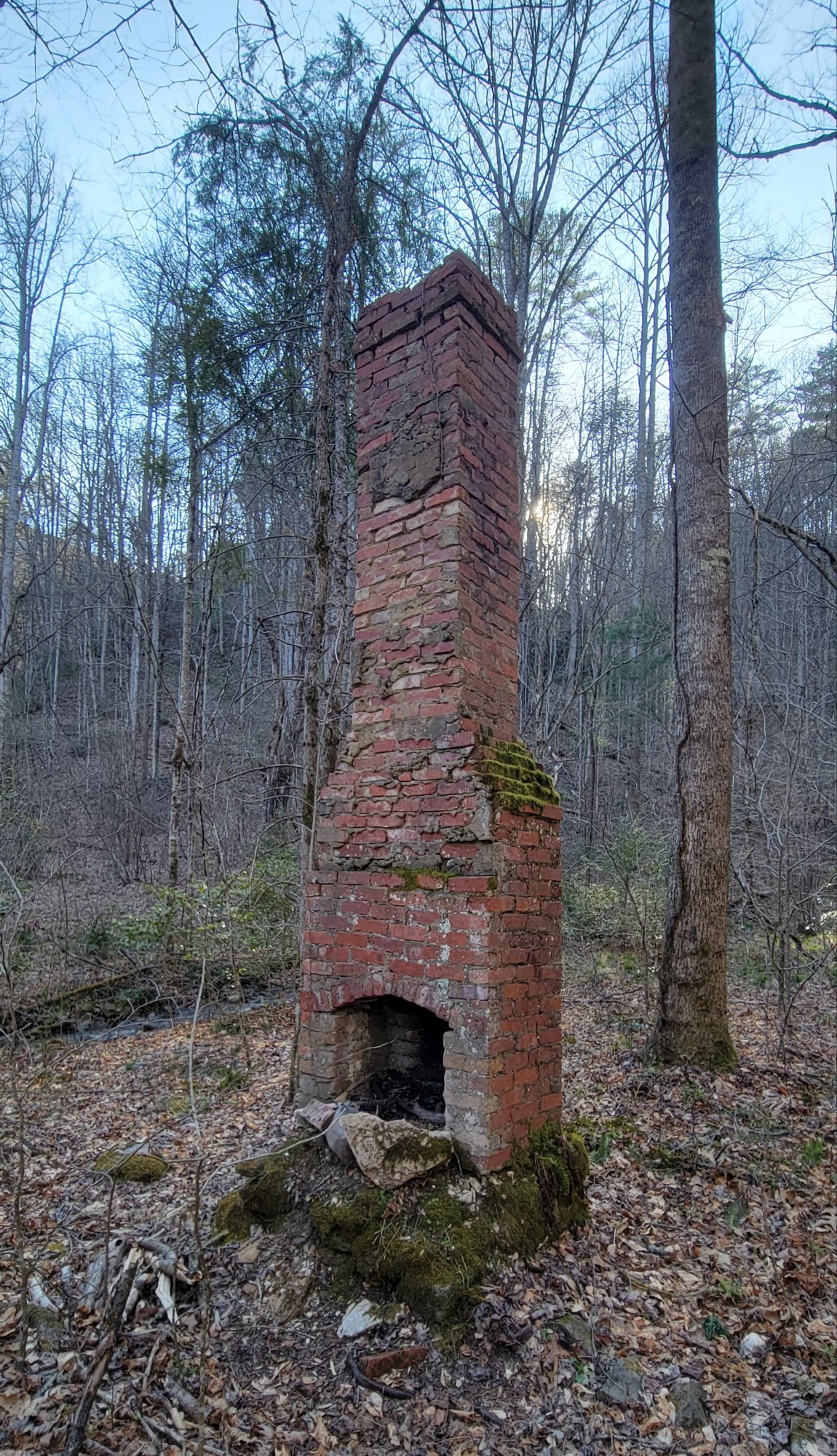
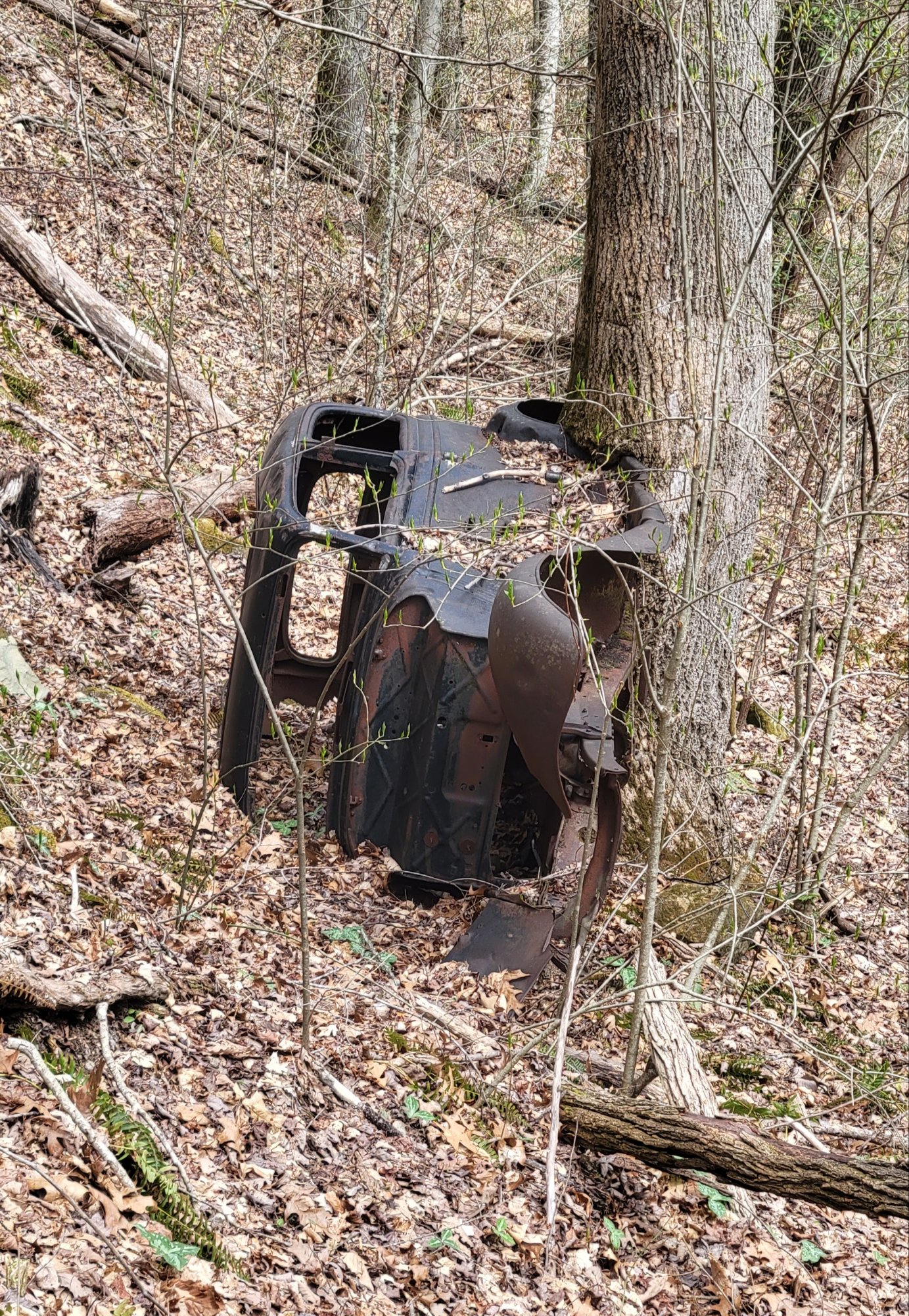
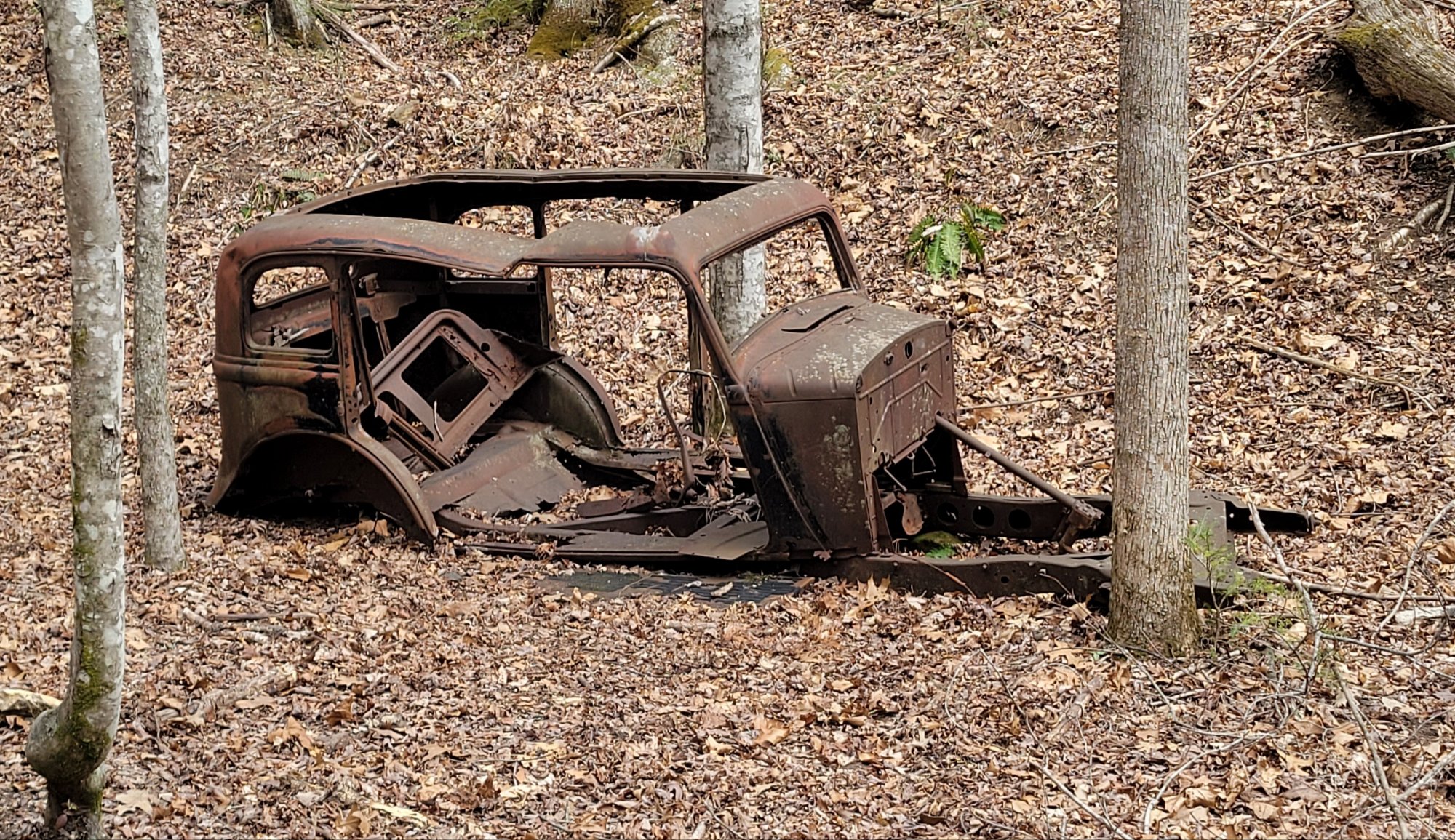
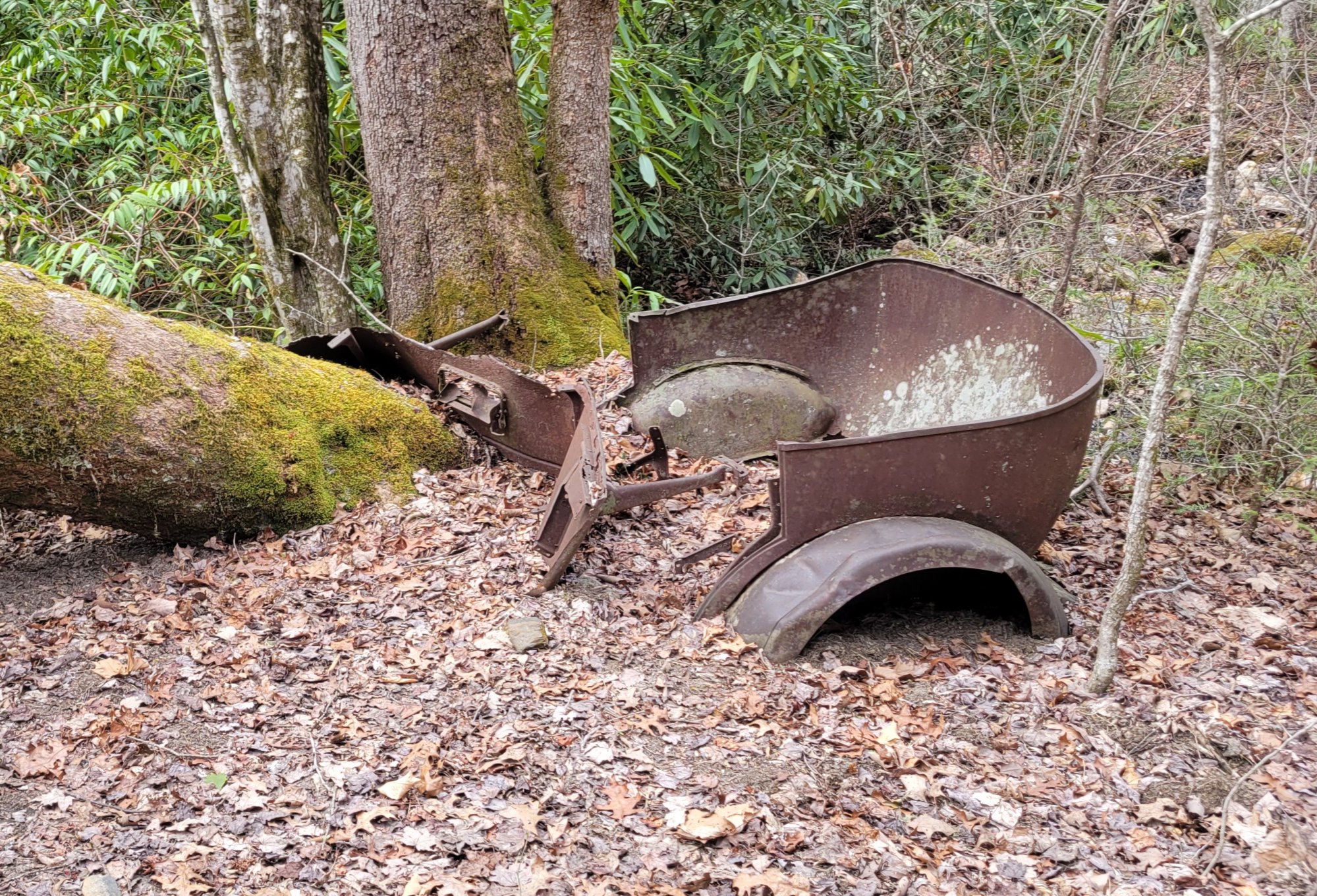
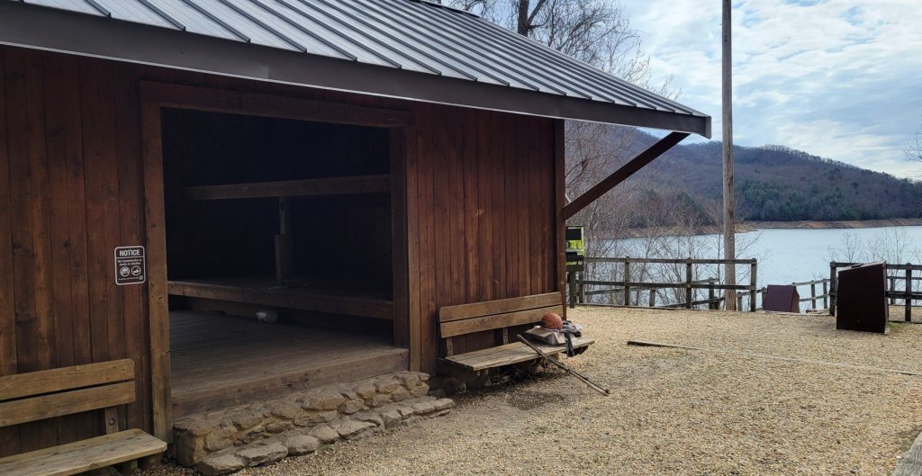
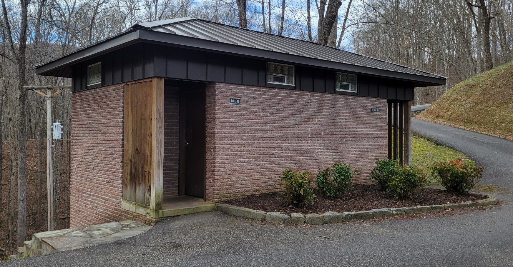
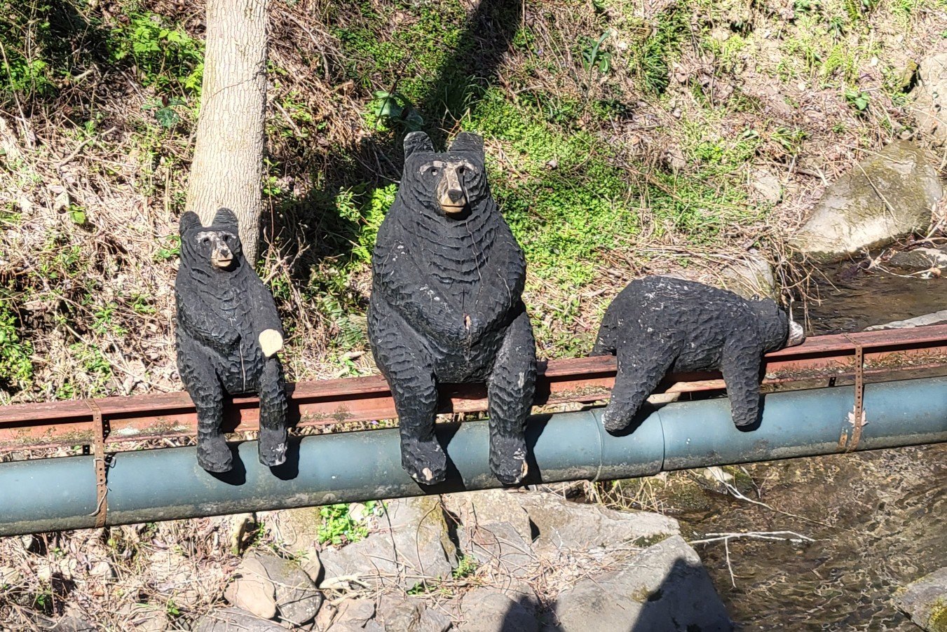
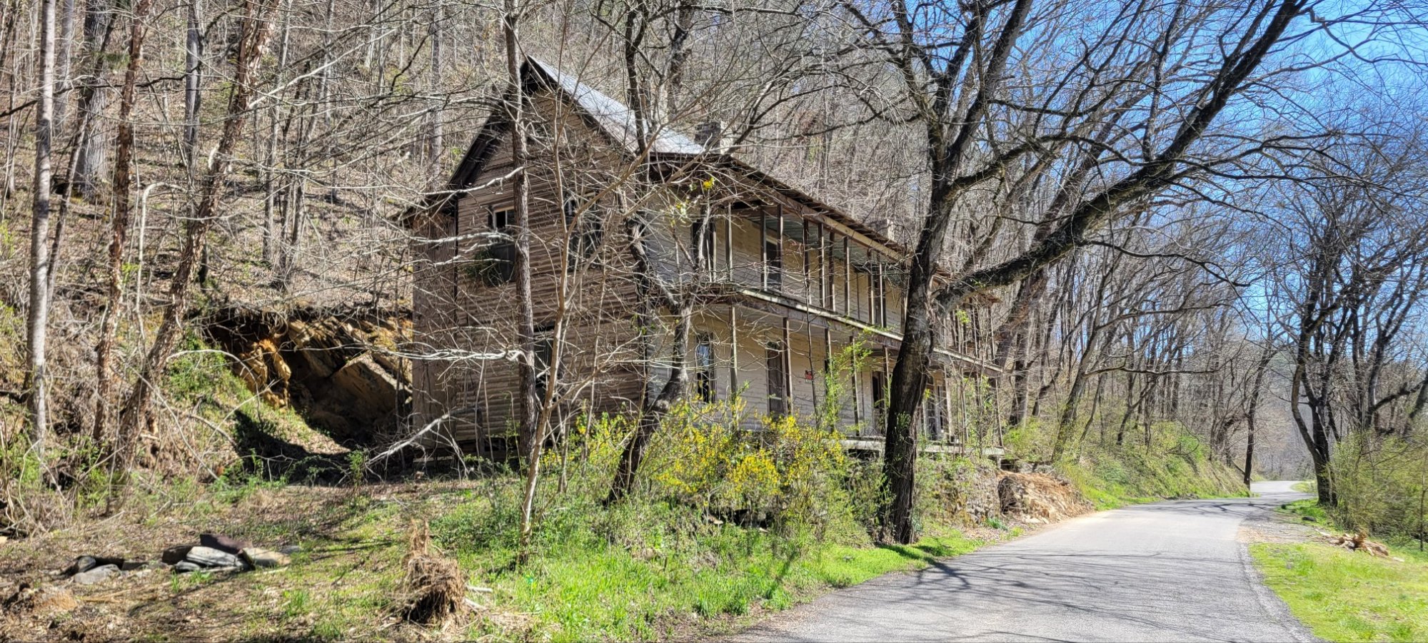
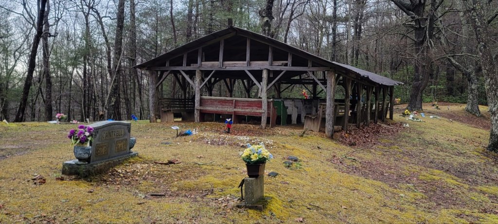
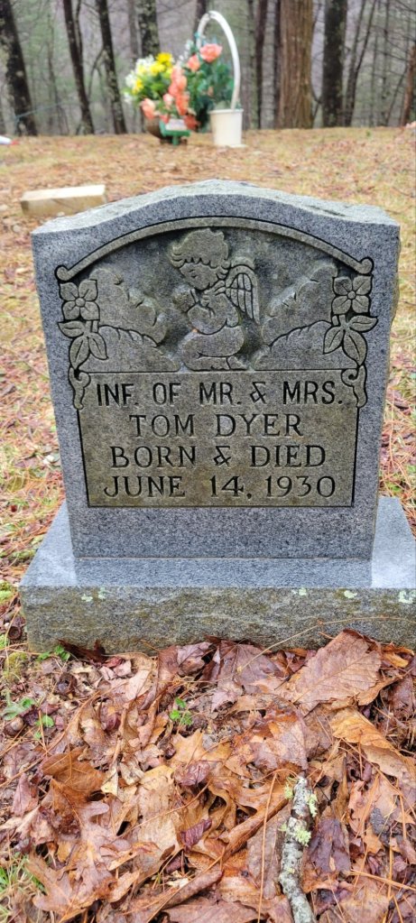
Signs of Mountain Folk
The southern mountains have been inhabited for centuries. First by Native Americans, in particular the Cherokee. Then by white settlers.


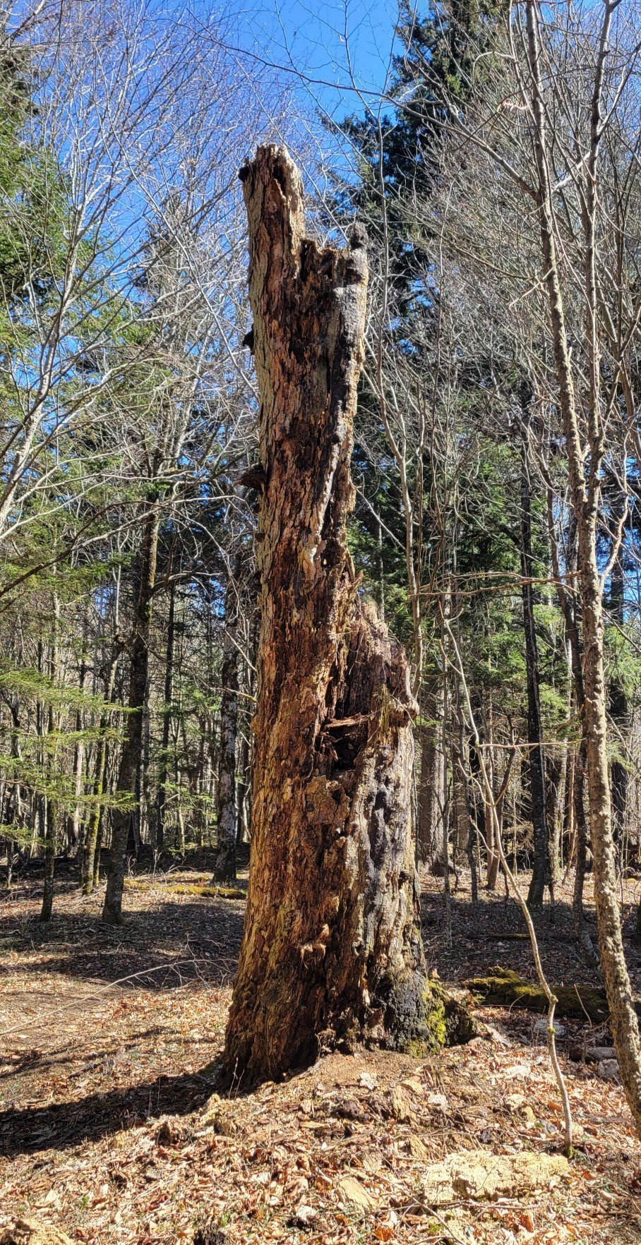
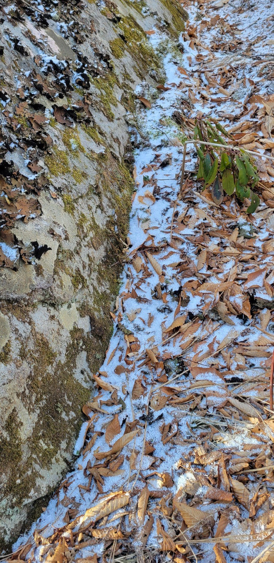
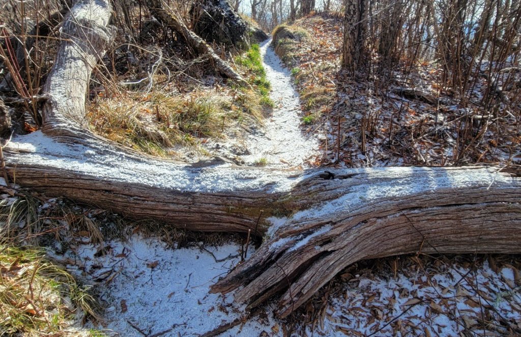
Old Man Winter
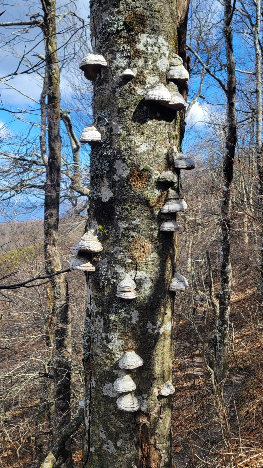
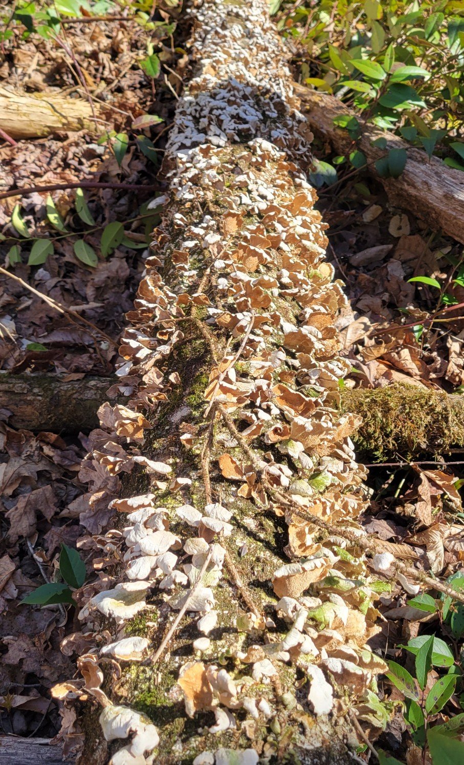
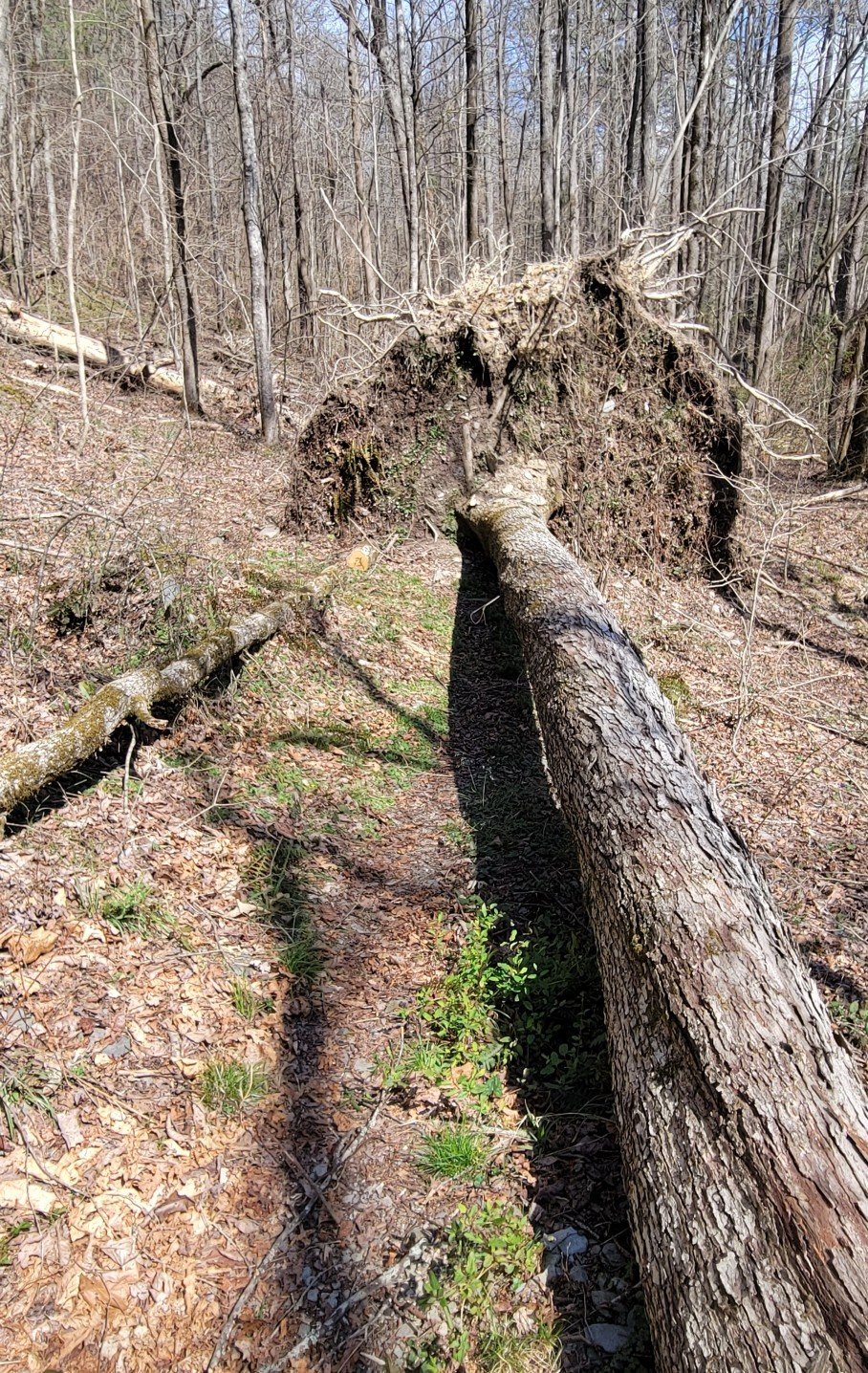
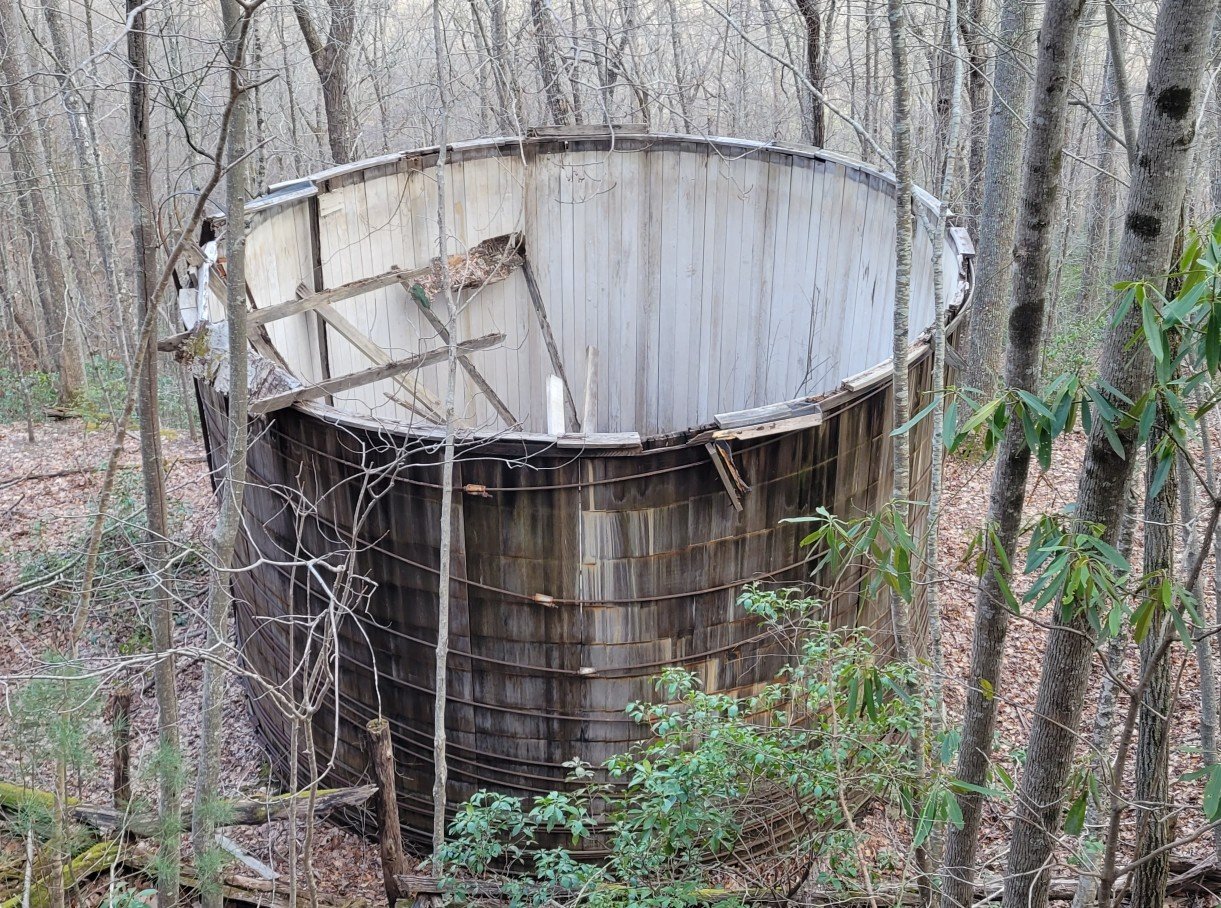
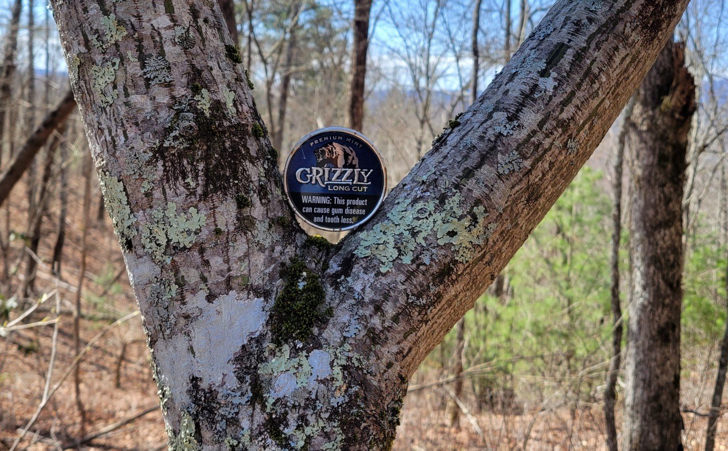
Odds and Ends

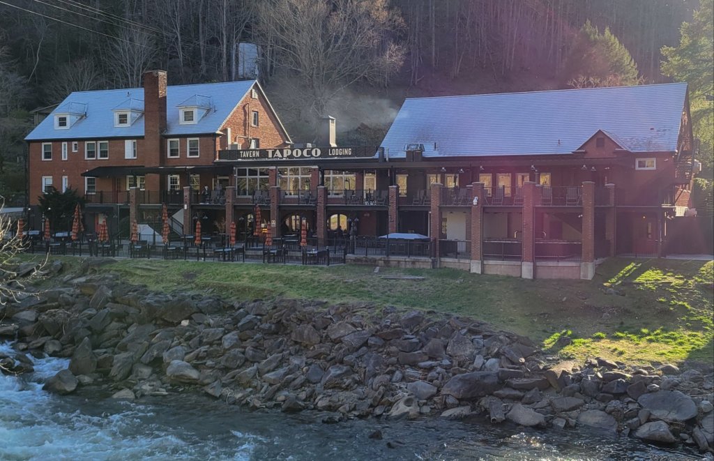
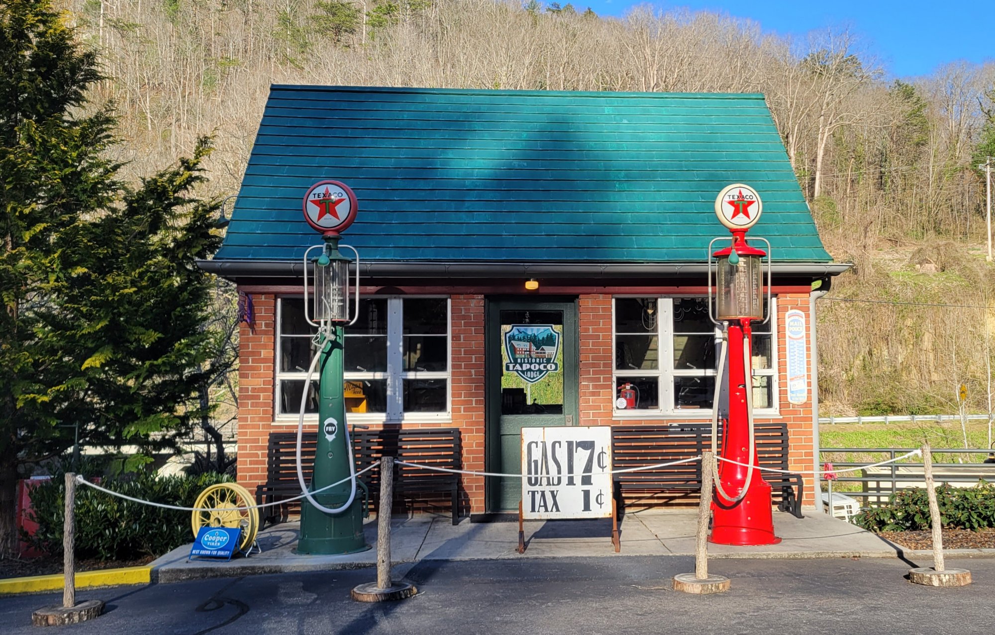
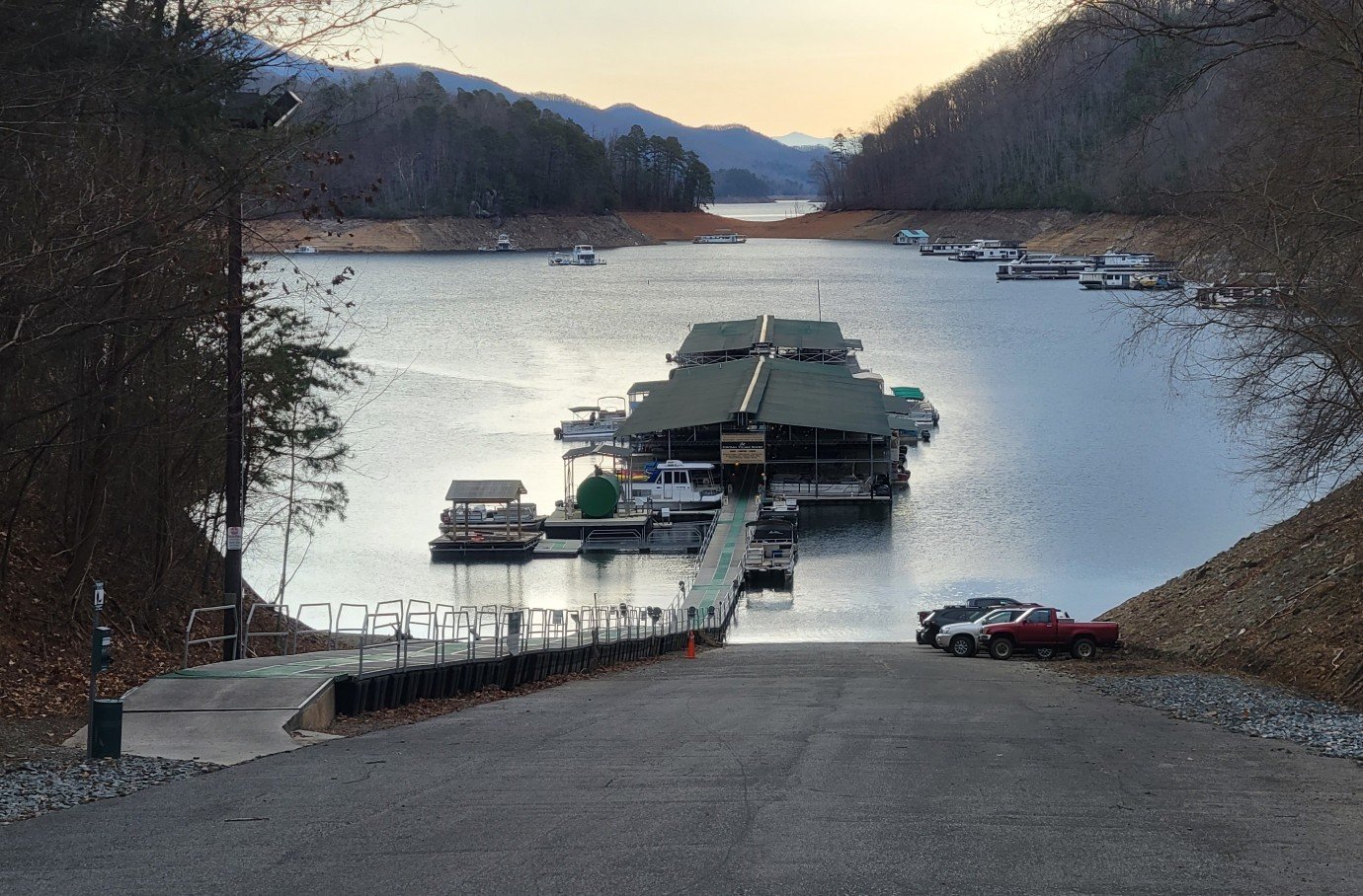
Tapoco Lodge
South of the Smokies, the BMT passes by the Tapoco Lodge.

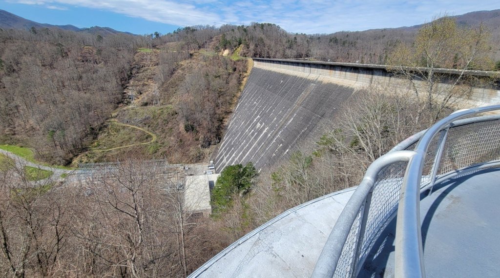
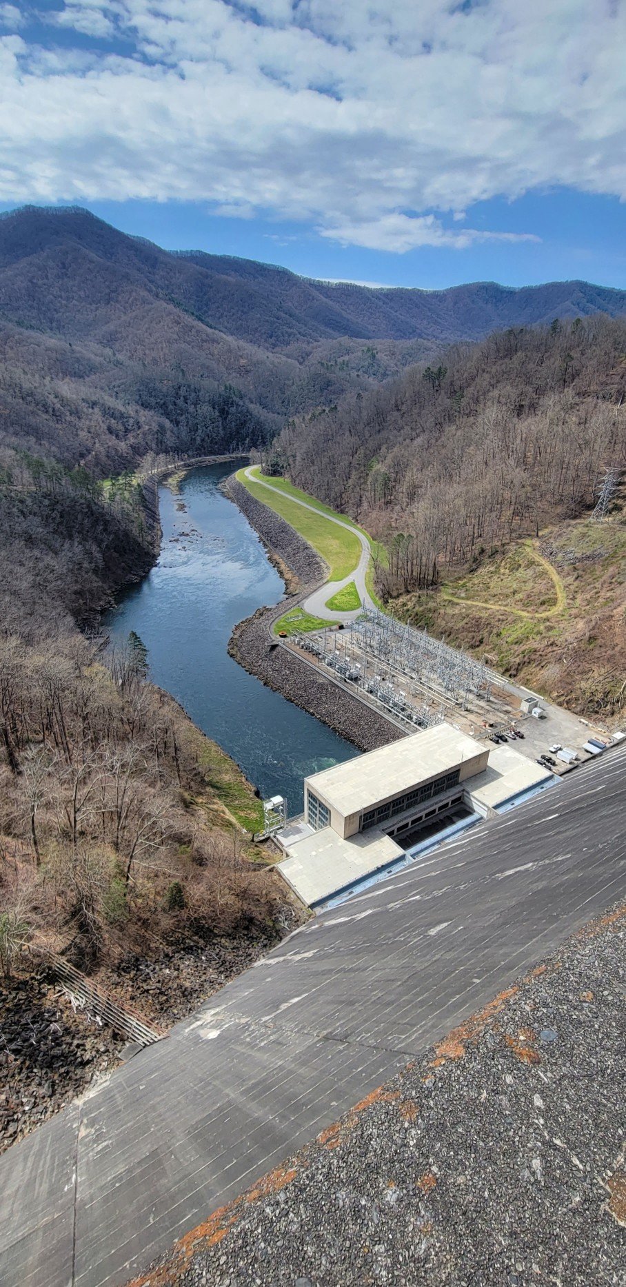
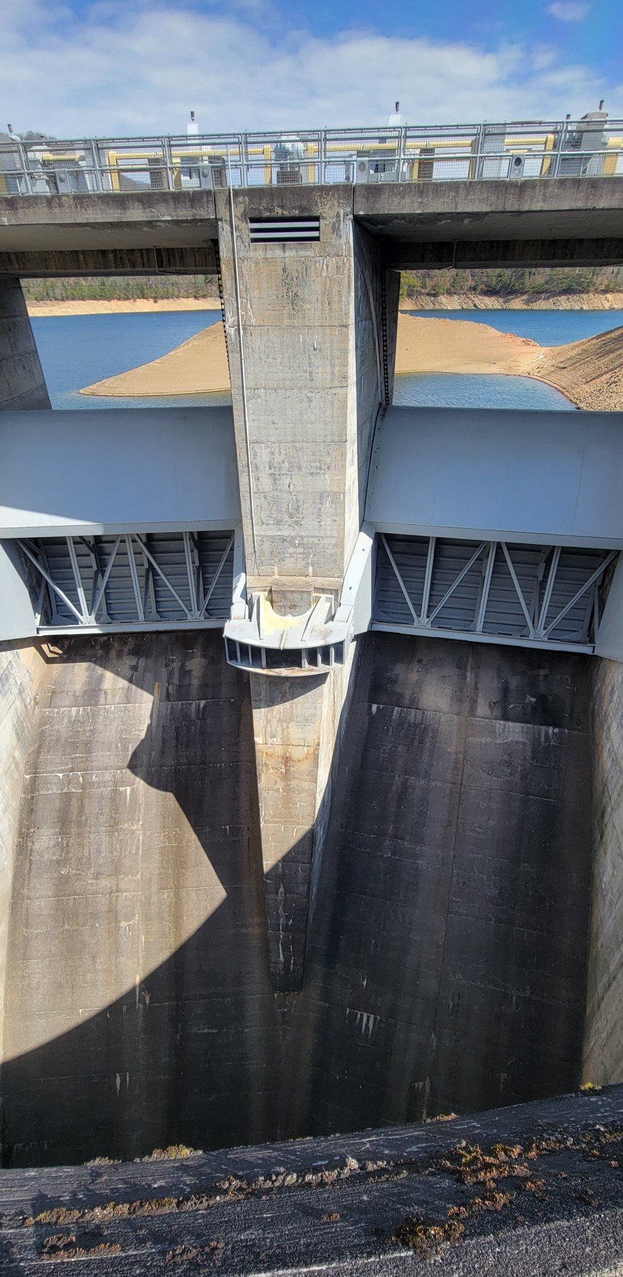
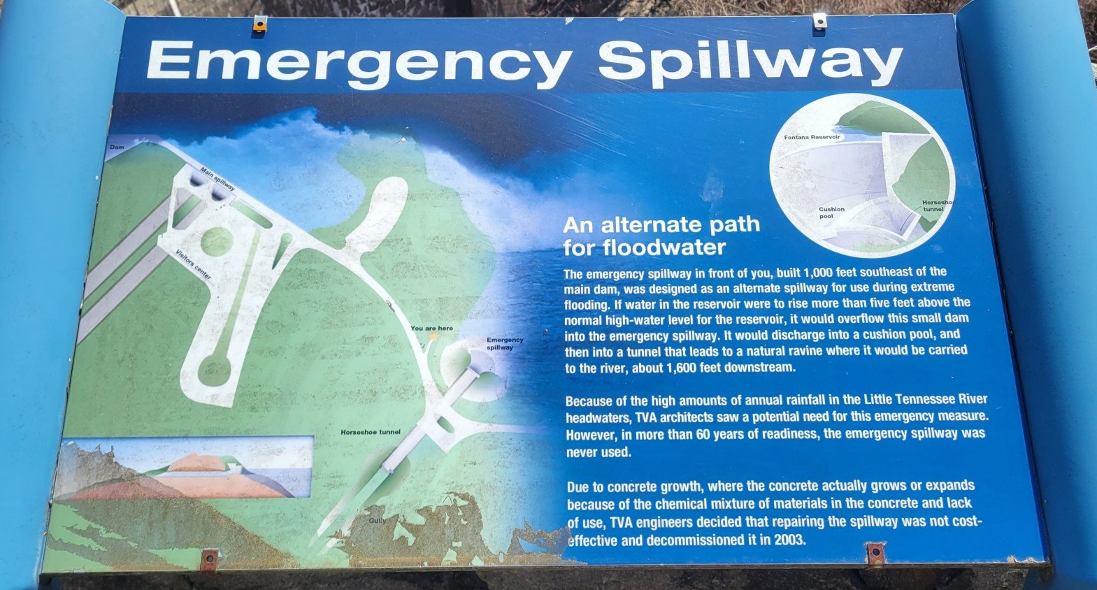
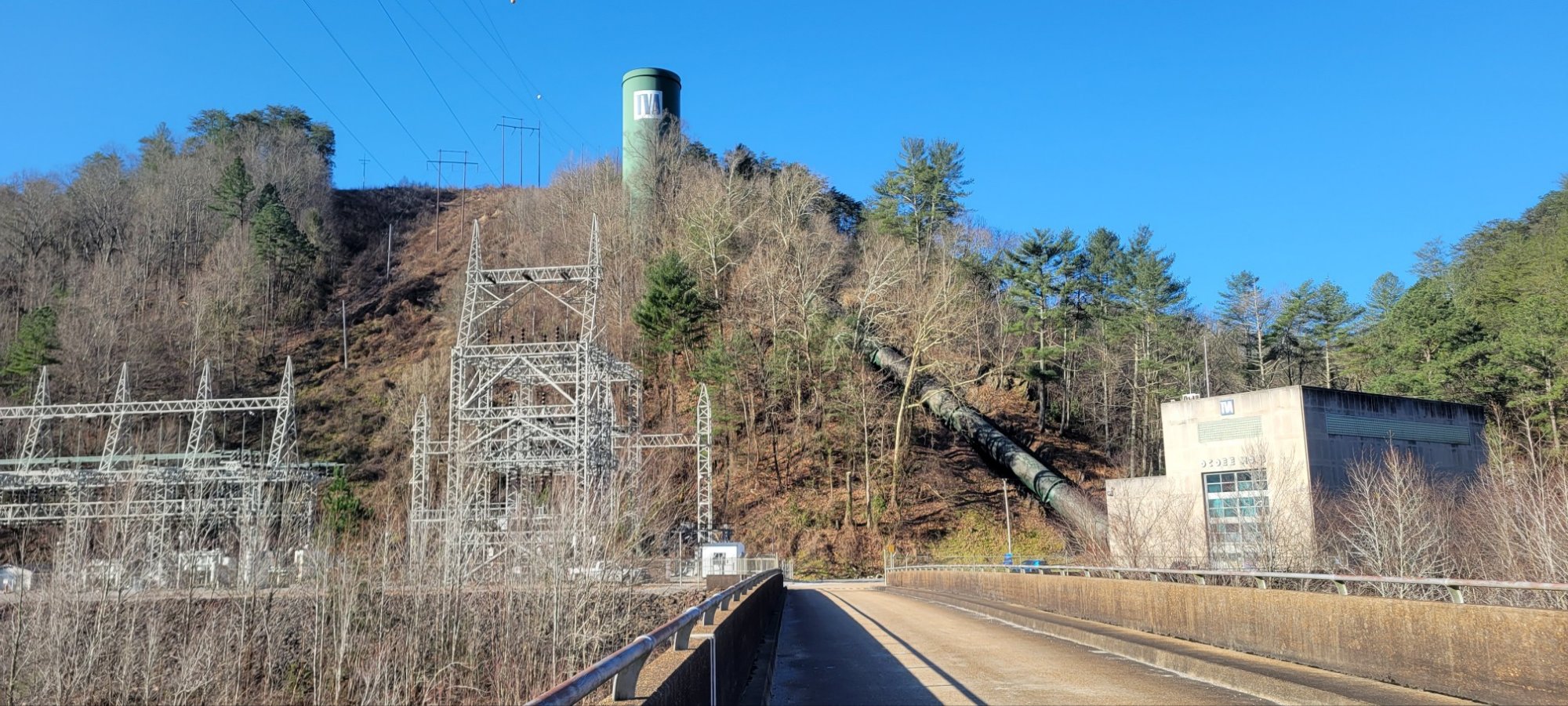
Fontana Dam
Fontana Dam is part of the Tennesse Valley Authority (TVA) public works project of the 1930’s and 40’s. It is built on the Little Tennessee River at the south end of Smokey Mountain National Park. It is the highest dam in the US east of the Rockies.


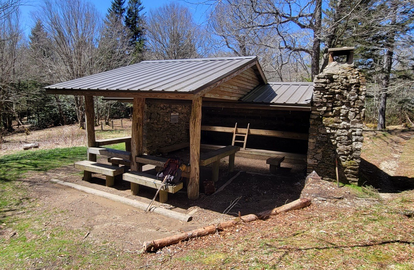
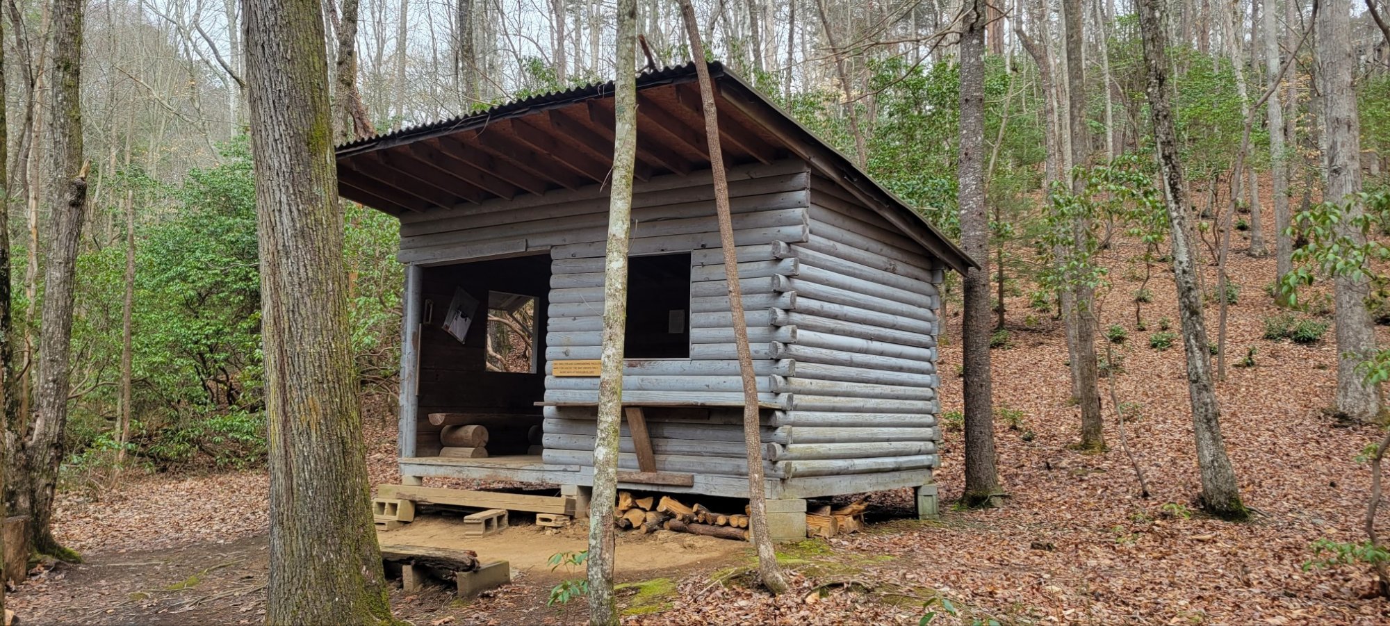
The Fontana “Hilton”
The BMT follows the AT for a few short miles near Fontana Dam. In the stretch is probably the nicest shelter on the entire AT. Hikers have dubbed it the Fontana “Hilton.”


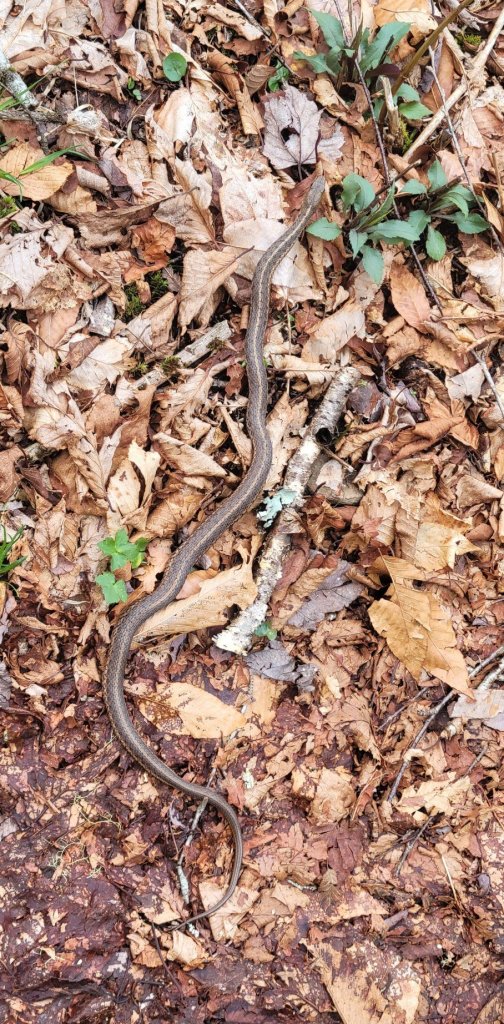
Animals
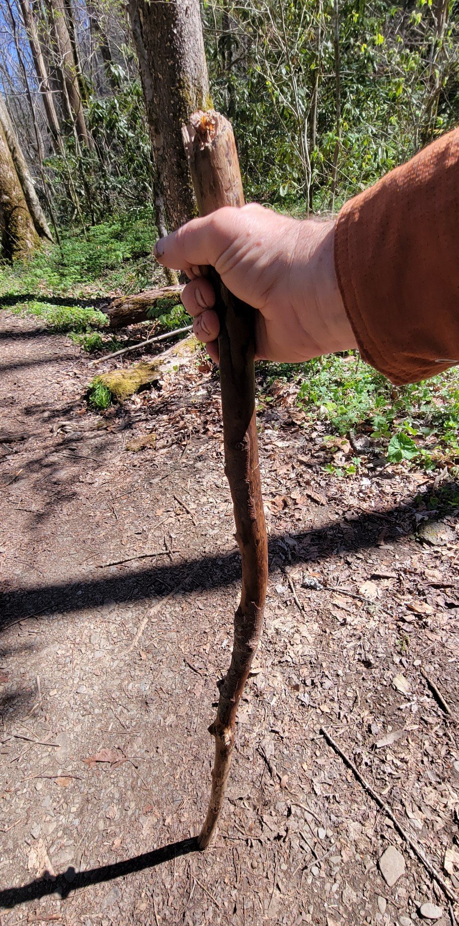
Ode to a Stick
At mile 150, I lost my footing crossing a creek. I didn’t fall in, but in steadying myself, I let go of one of my carbon hiking sticks. It disappeared into the current, never to be seen again. I had to make do with a found wooden stick. In less than two days, I went through two sticks which broke. Here’s the third stick I used. It got me through 100 miles.
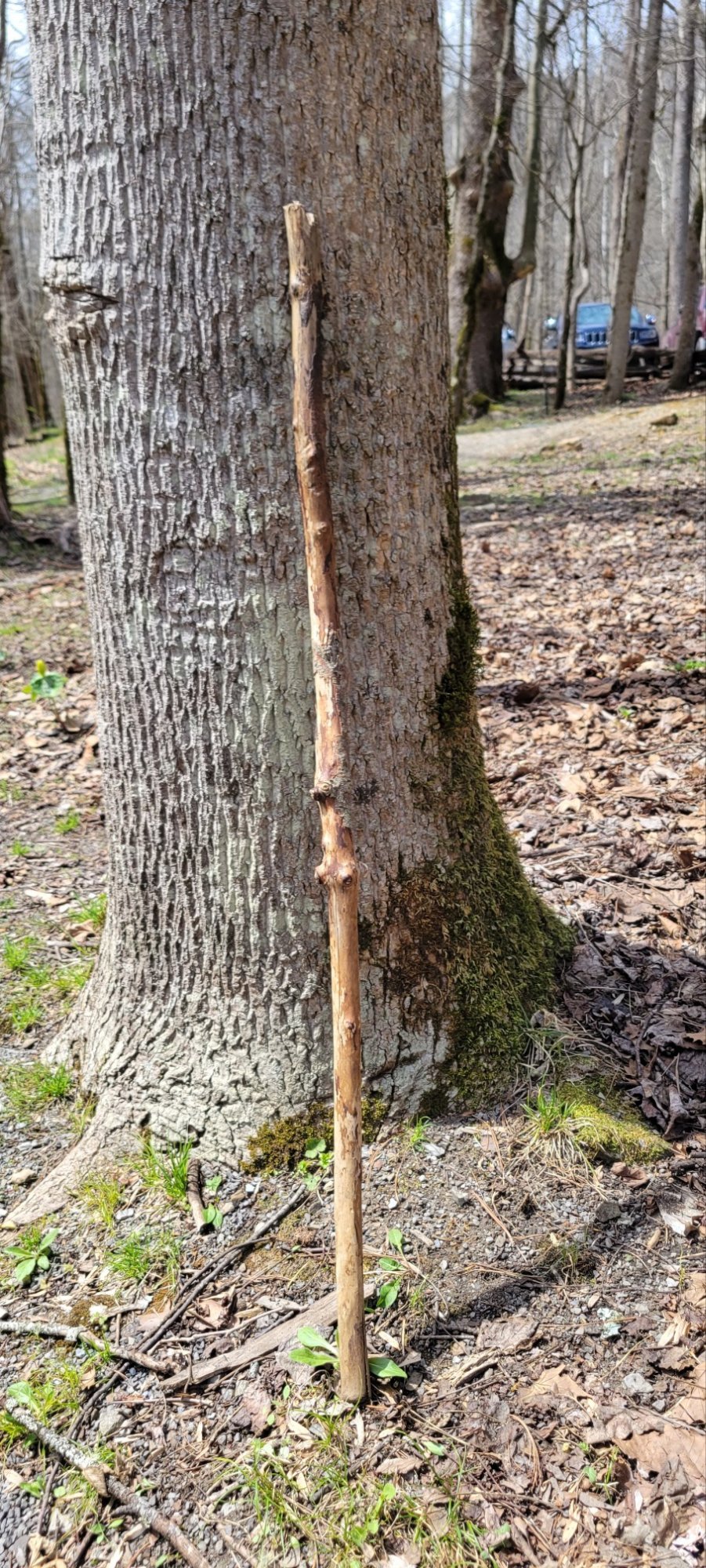
At the end of the hike, I left it leaning against a tree in hopes that someone else might use it.
c) Andrew Carter, 2022
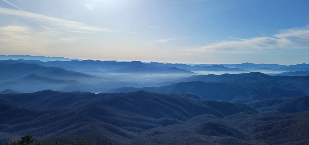
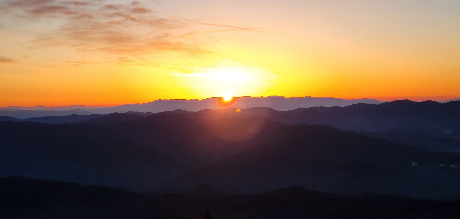
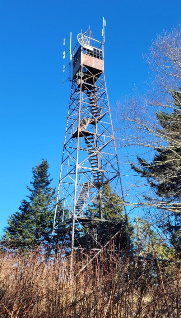
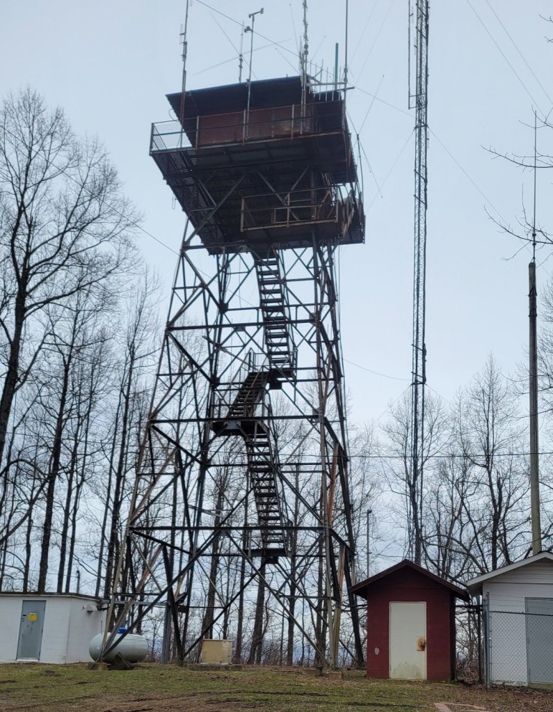
The highest point on the BMT is Mt. Sterling, near the north end of Smokey Muntain National Park. The mountain is about 5850 feet tall. There’s an abandoned fire tower on it, which you can climb to get a 360-degree view. Here’s a picture of the tower and two videos showing the view.
c) Andrew Carter, 2022
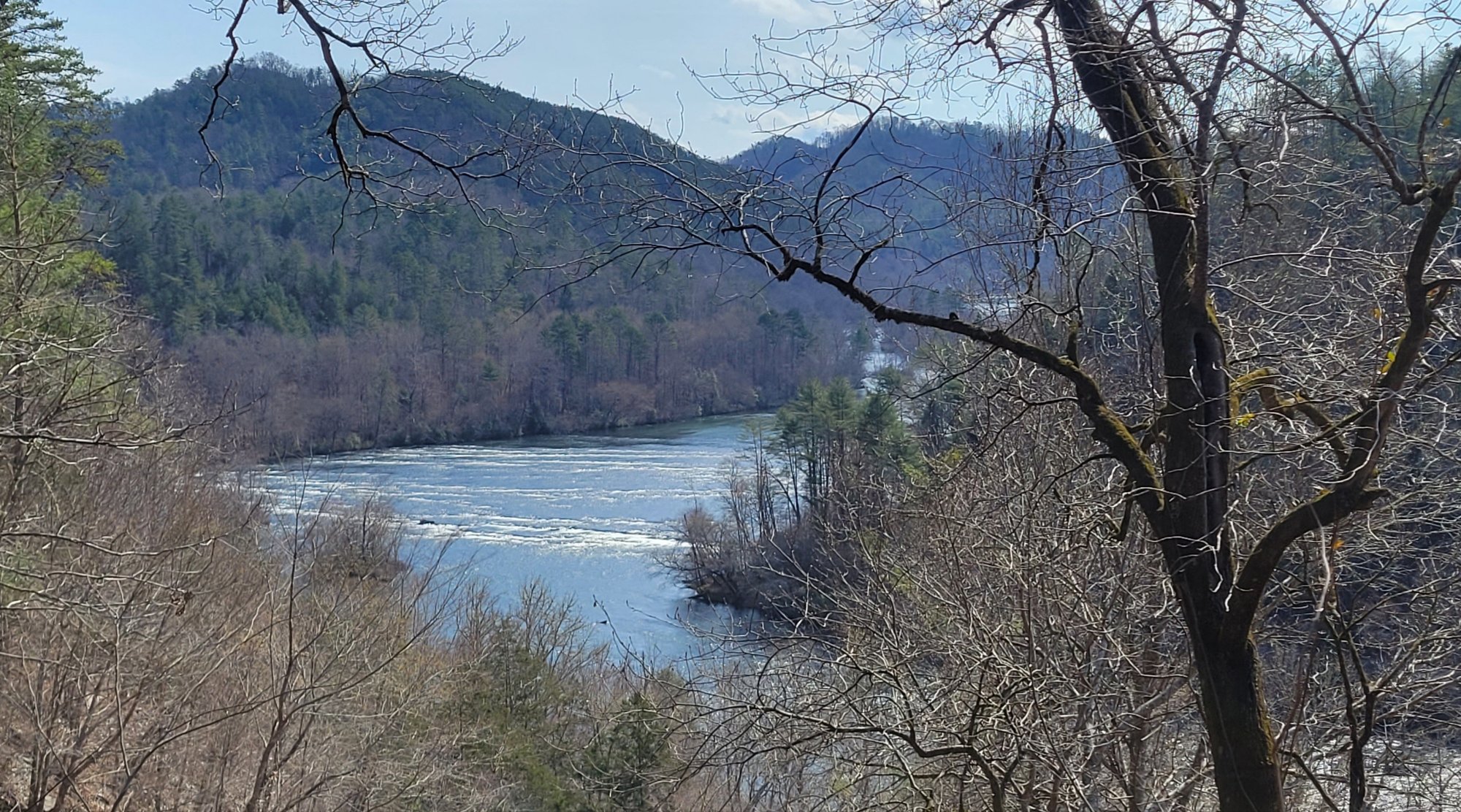
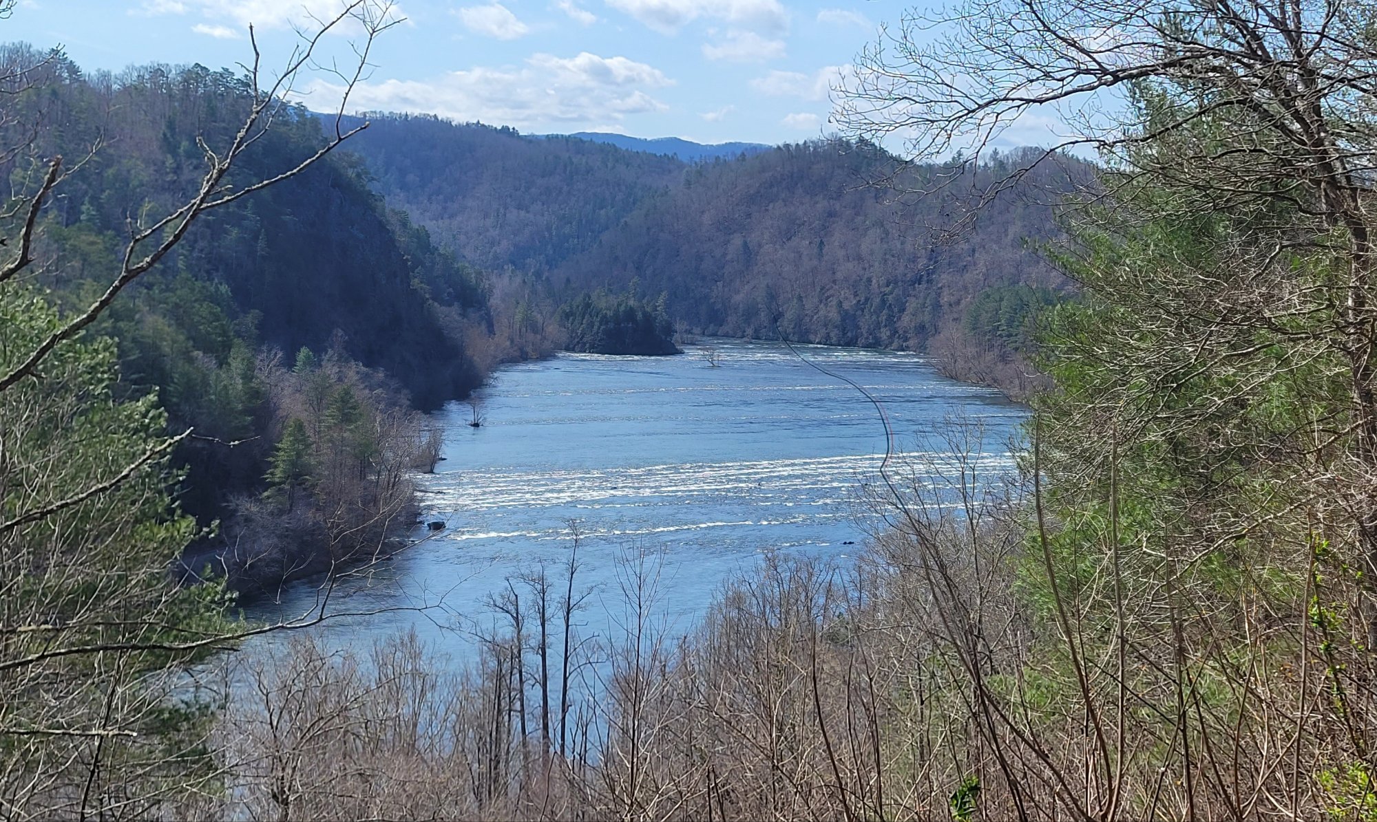
For about ten miles north of Reliance, TN, the BMT follows the Hiwassee River. It’s a delightful stretch. Just you and the river. Here’s a view from from a ledge looking down upon it.
c) Andrew Carter, 2022
I’ll get to writing words at some point, but here’s a photo dump from my first nine days on the Benton MacKaye Trail. I’ve hiked 112.5 miles so far.
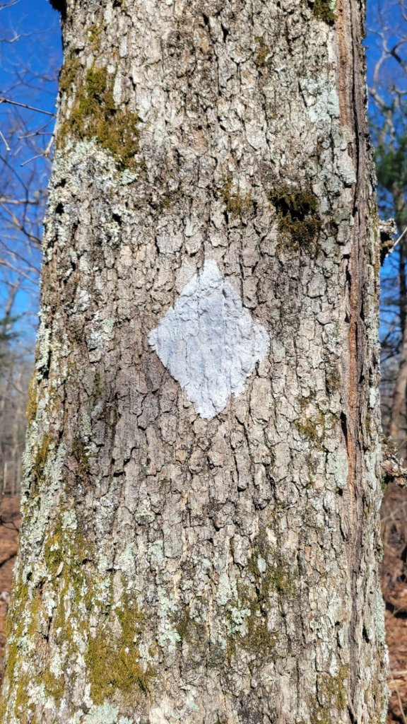
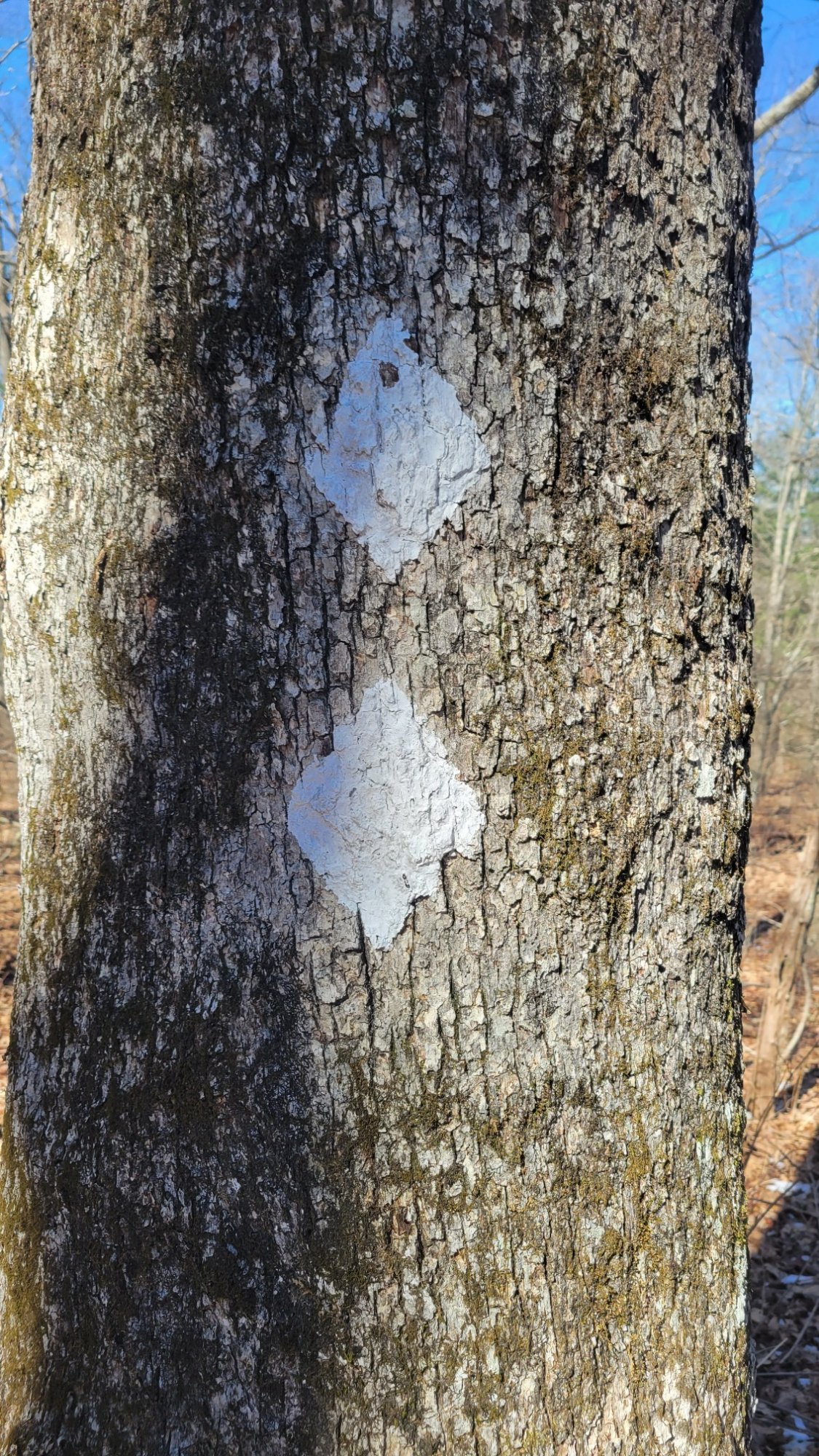
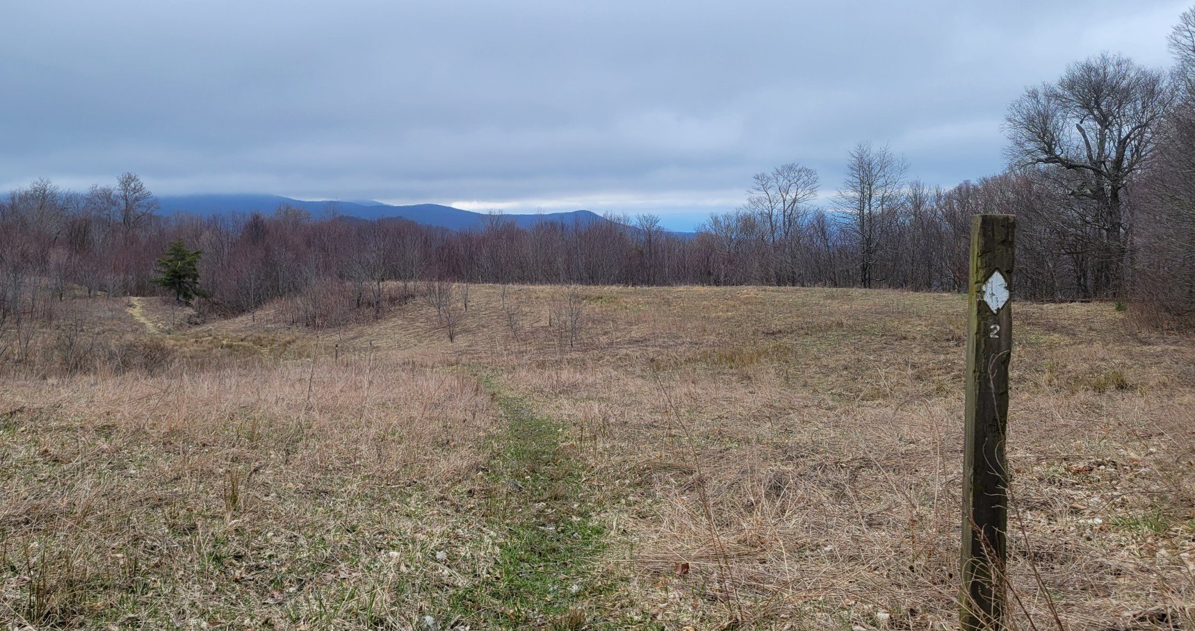
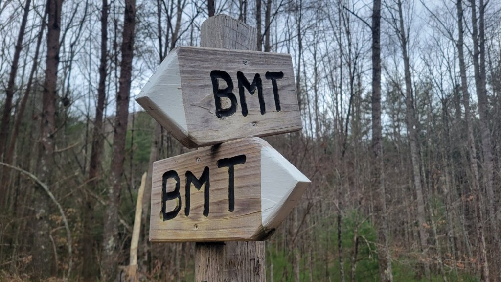
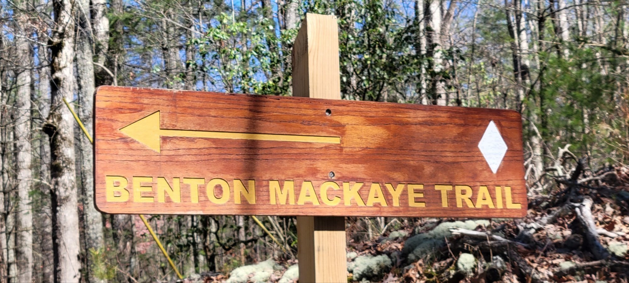
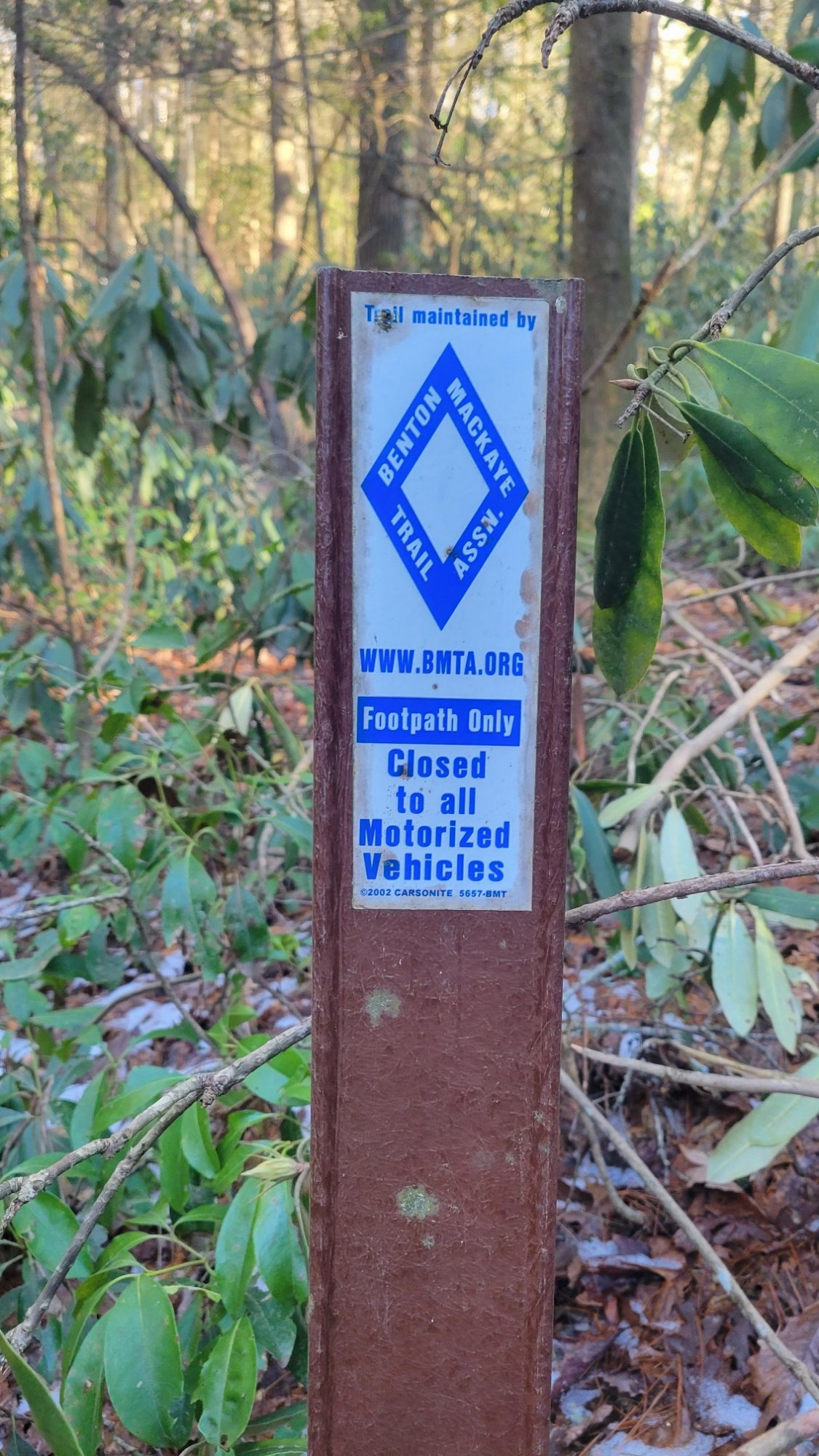
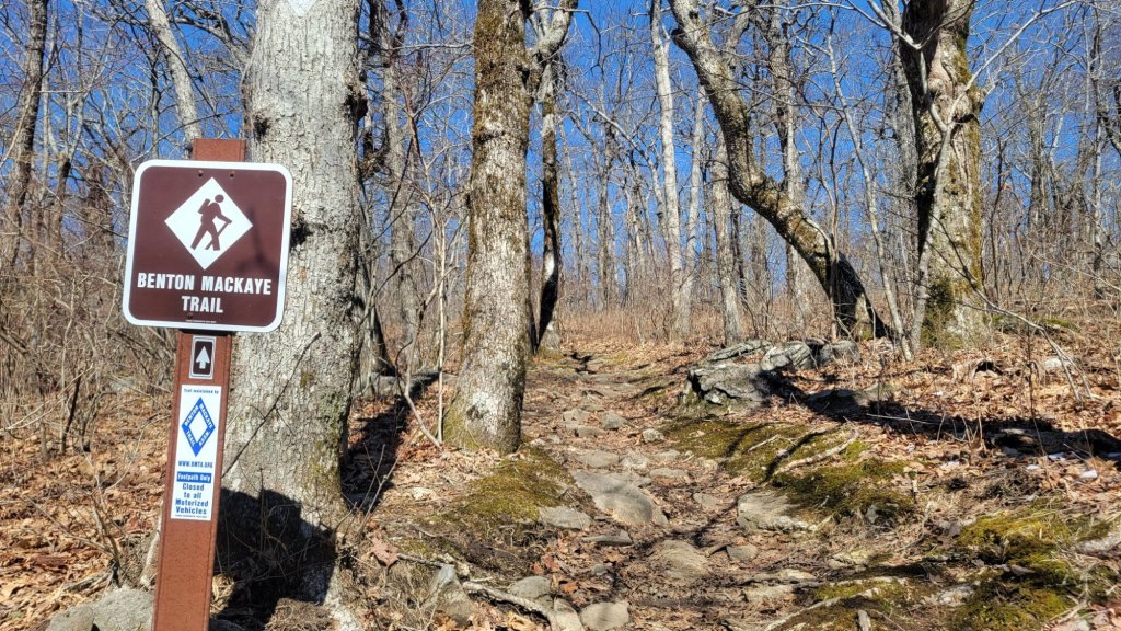
The BMT is blazed with white diamonds. Normally, just one diamond is used. Two diamonds means the trail changes direction ahead.
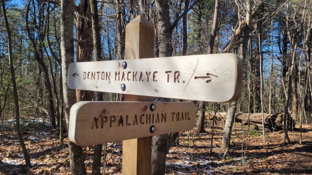
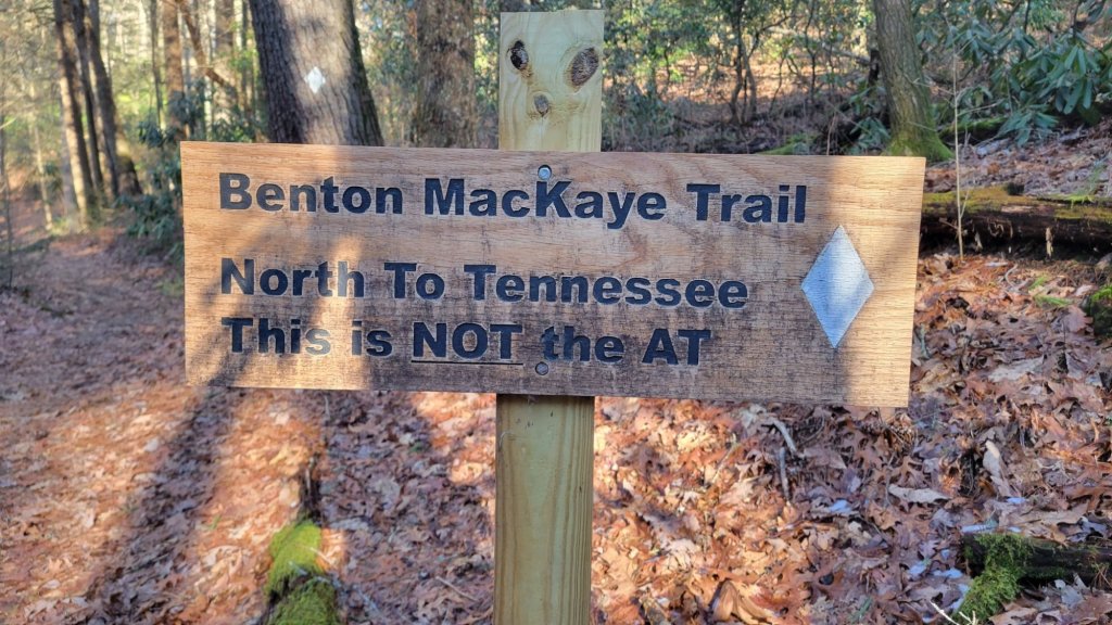
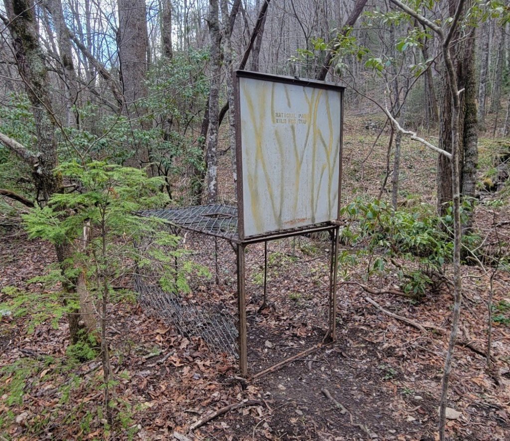
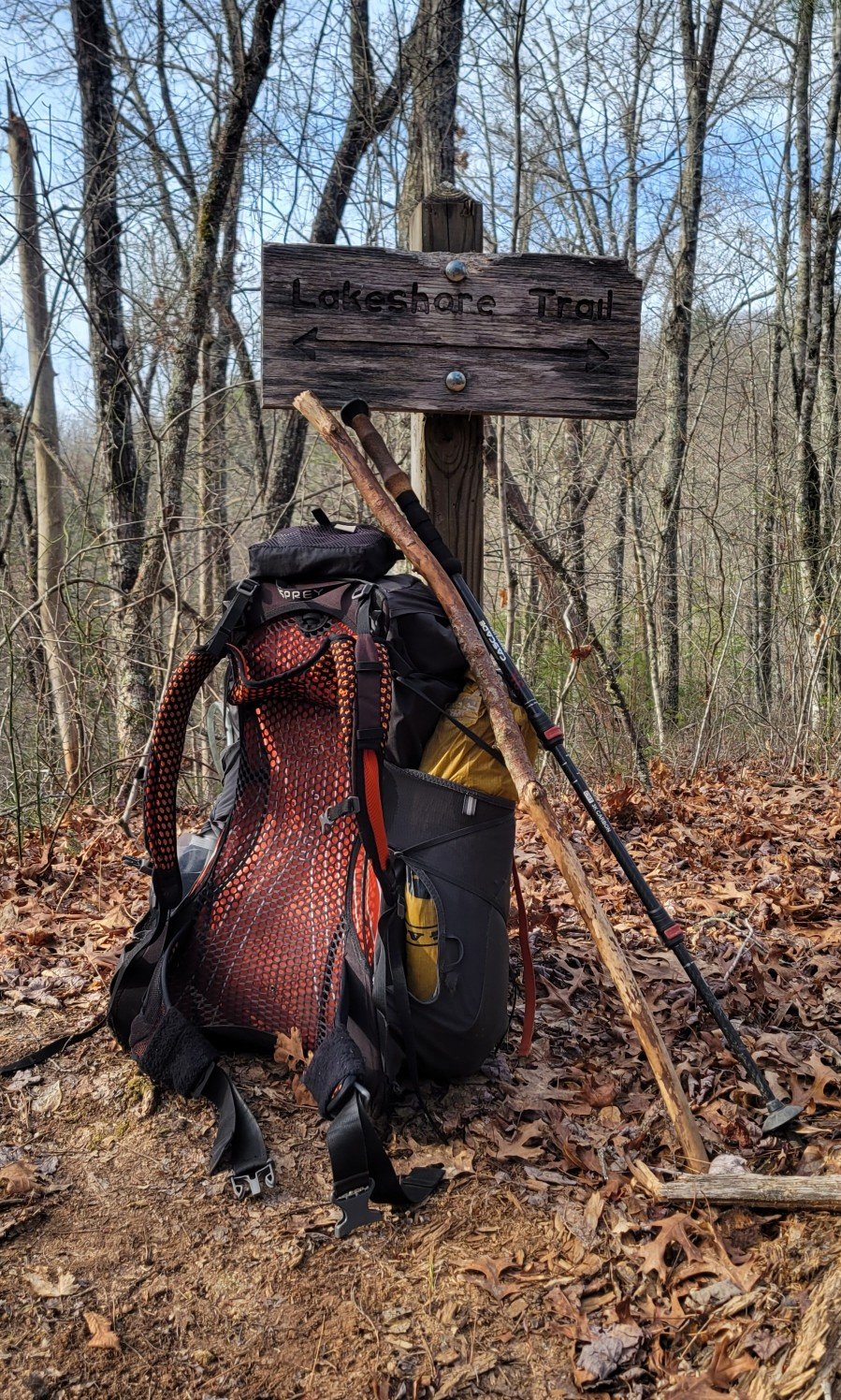
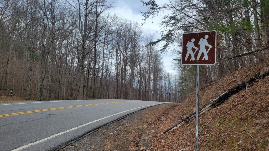
You know the drill. I like signs. I’ll get most of my sign photos out of the way now.
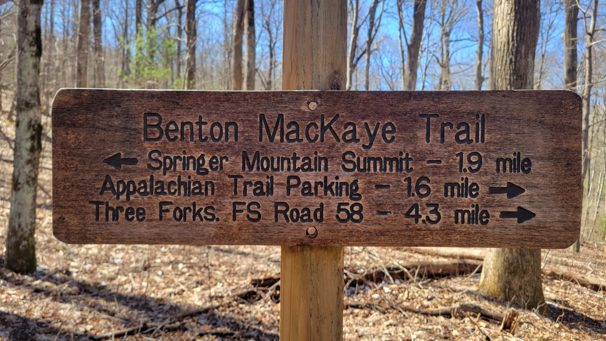

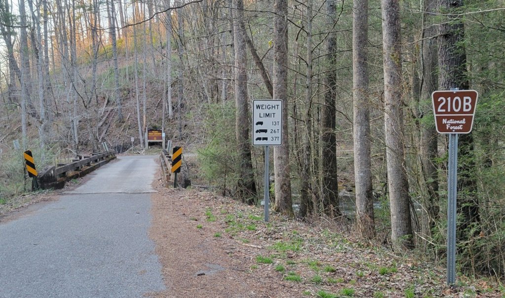
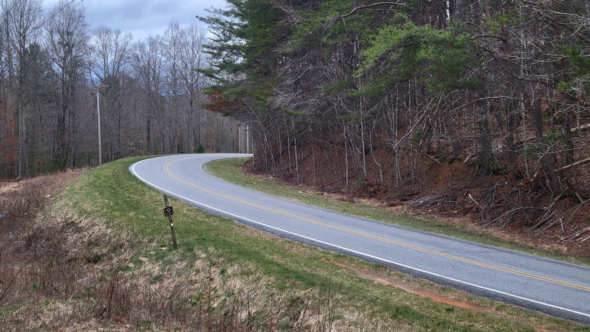
Road crossings
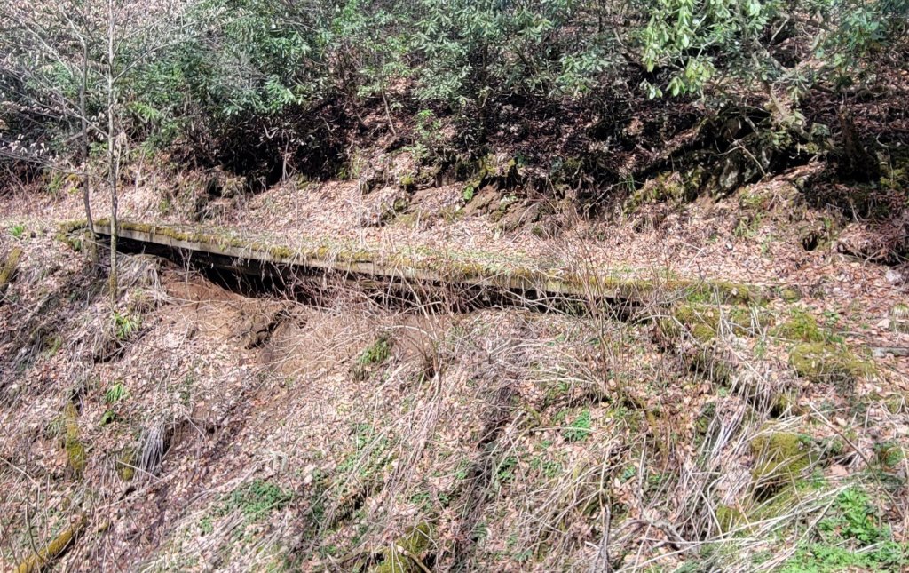
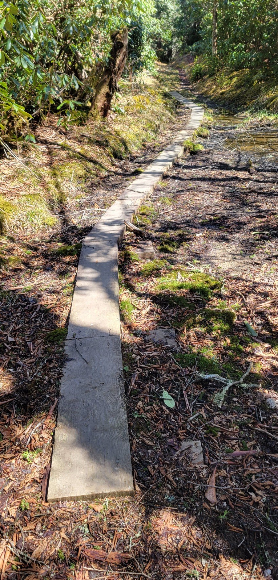
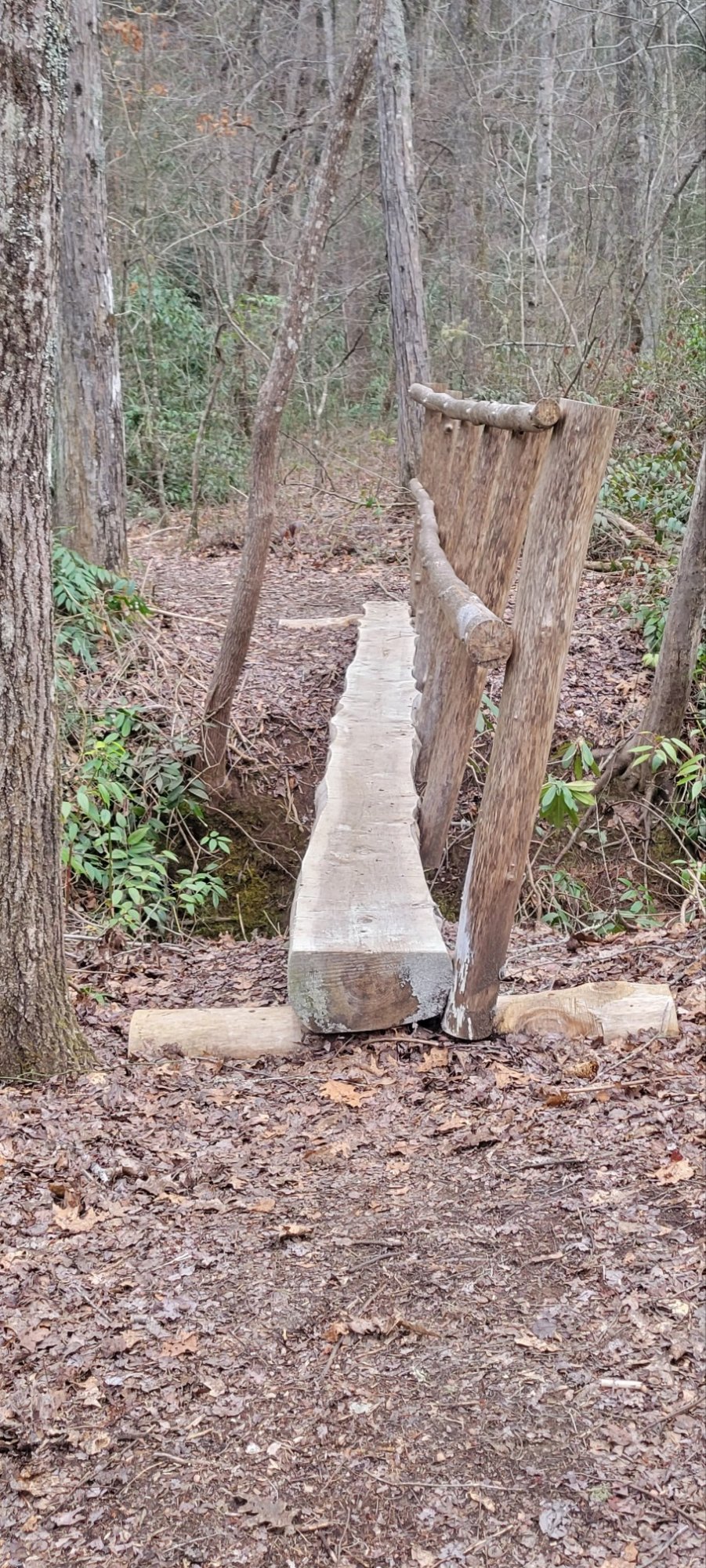
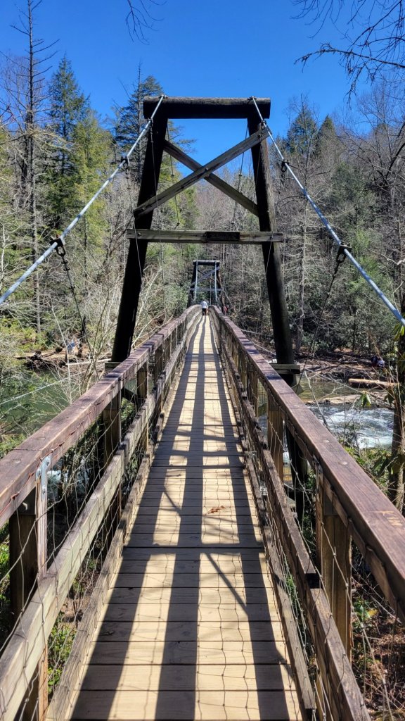
BMT bridges


Steps


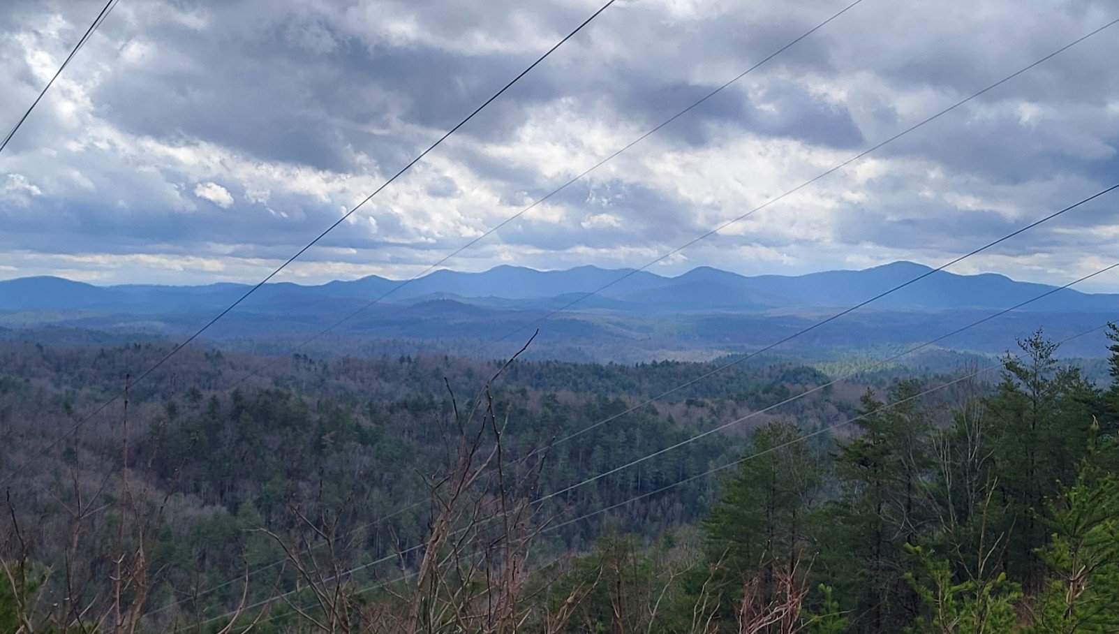
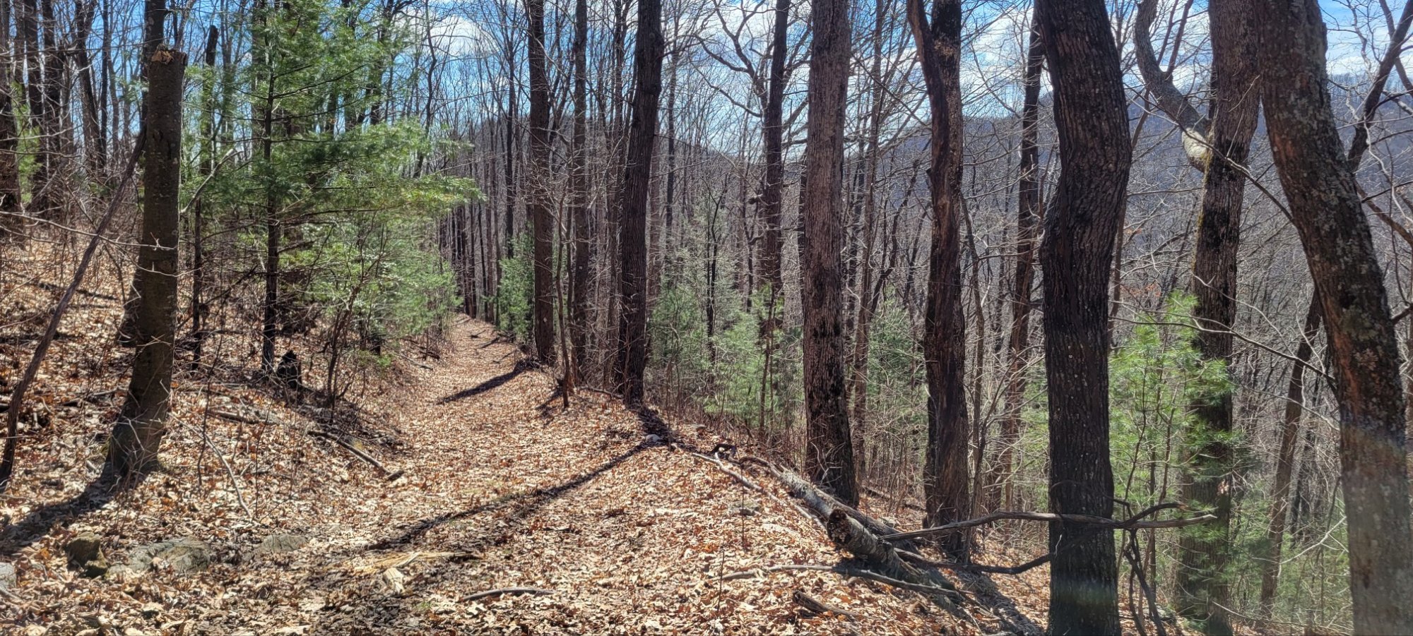
Mountain views

Water views

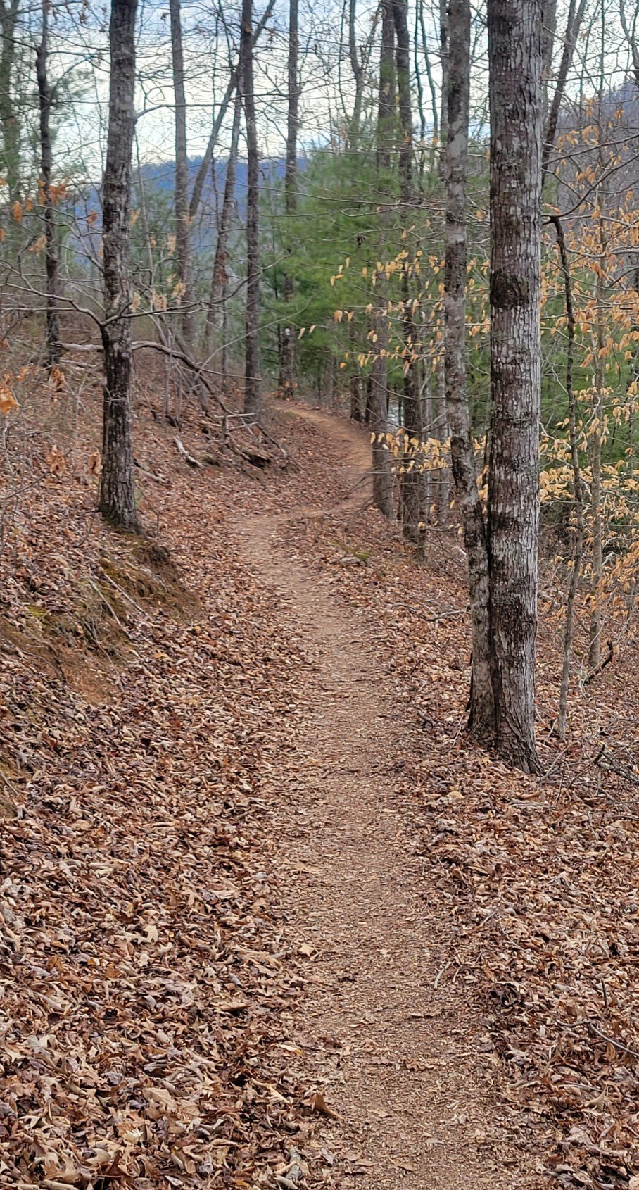
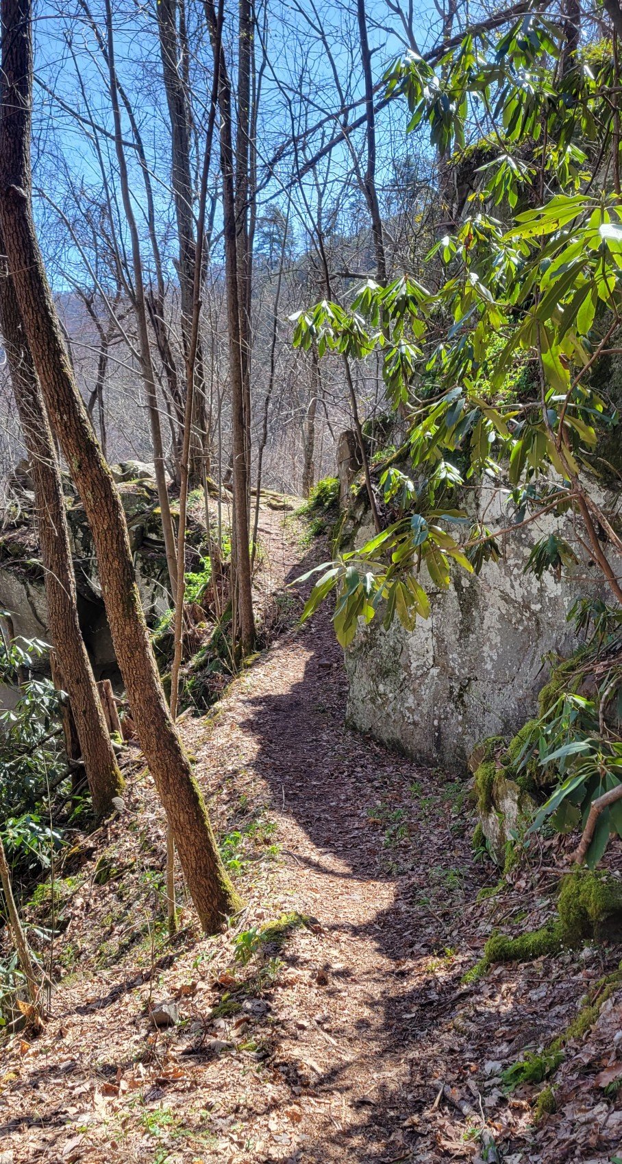
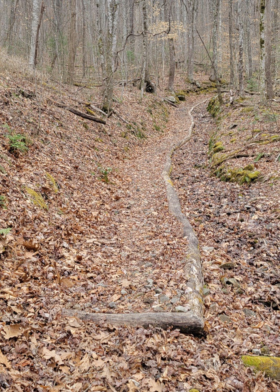
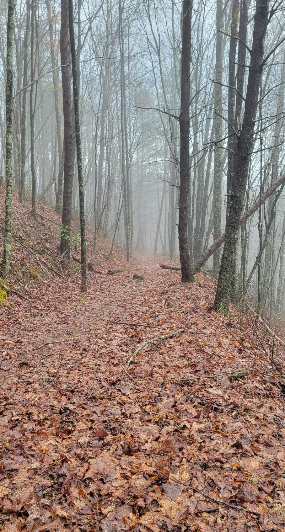
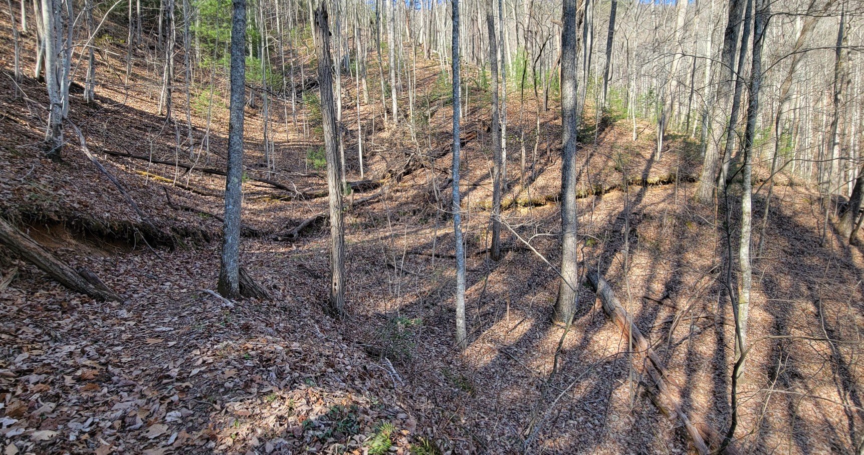
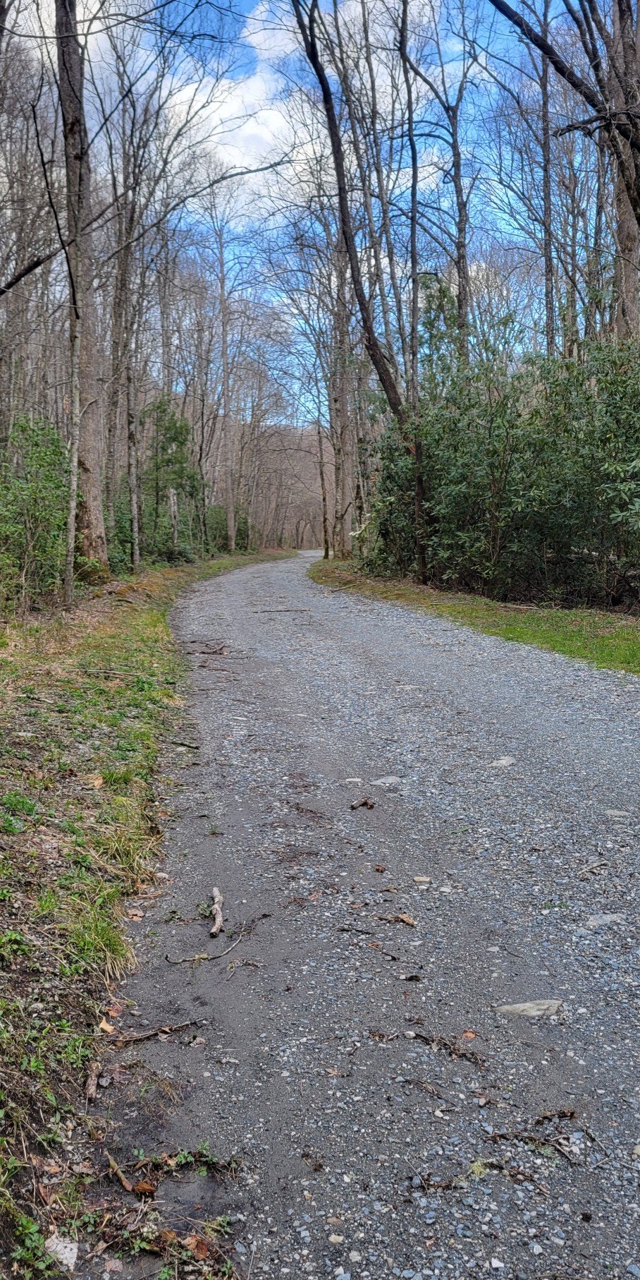
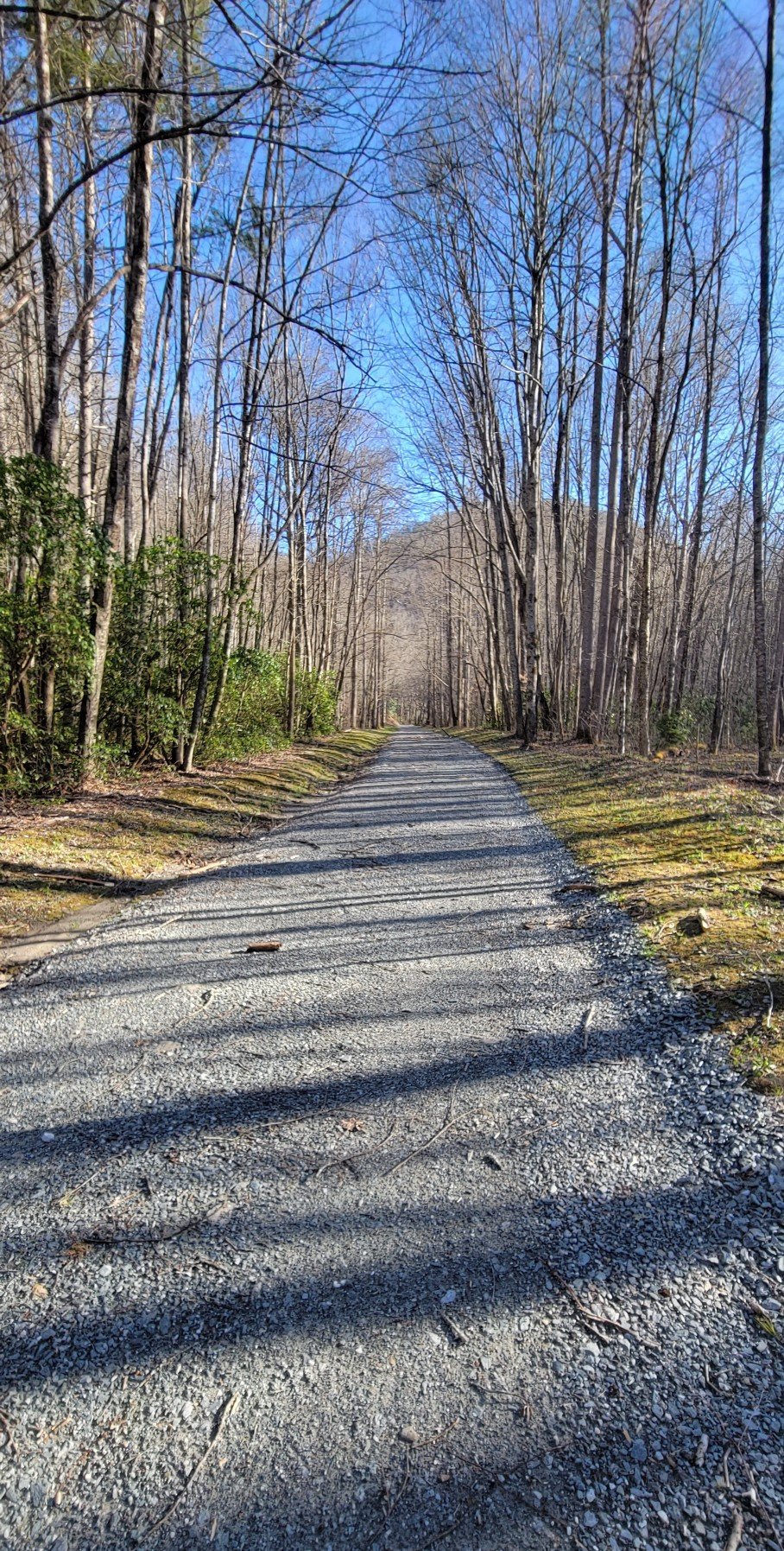
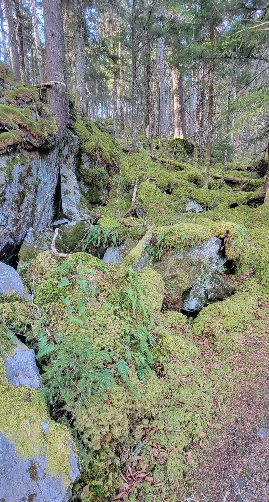
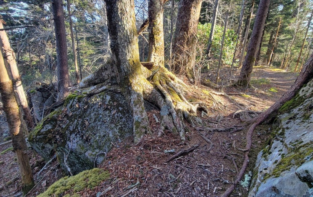
The trail


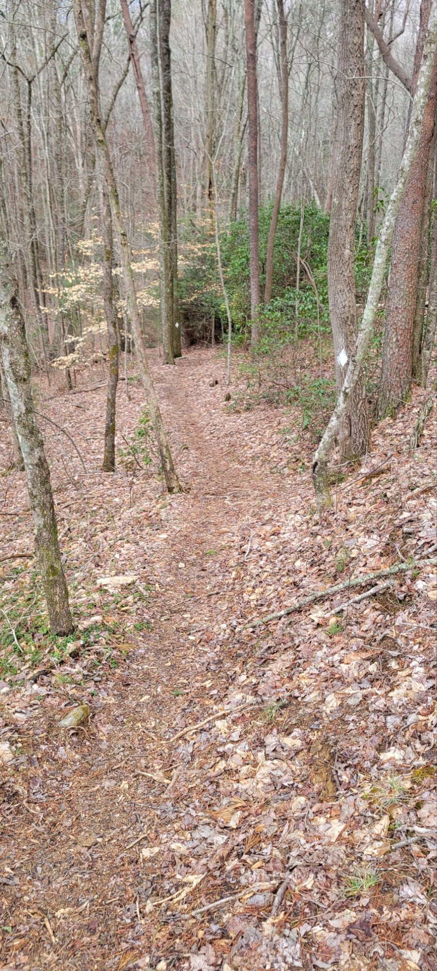
In many places, the BMT makes use of old wood roads and horse trails. They are a reminder that the Eastern mountains were a lived-in environment in historical times. By Native Americans to begin with and then white homesteaders.


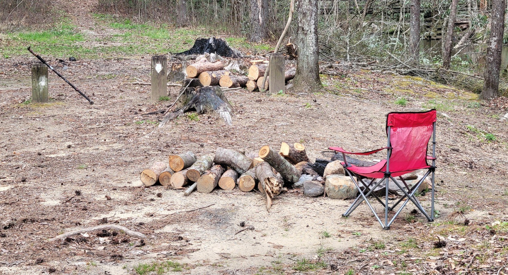
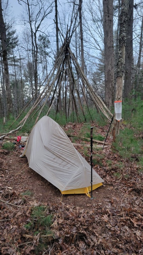
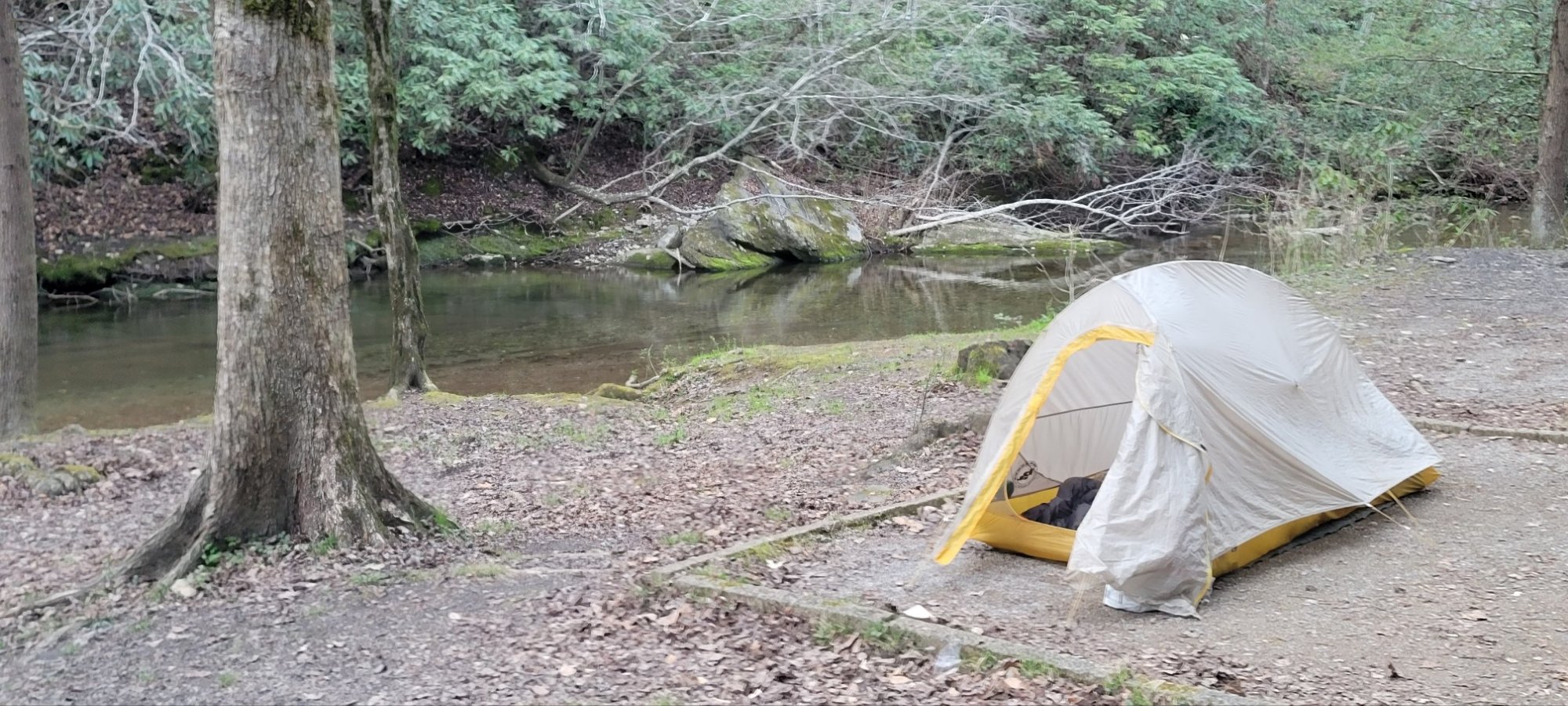
Camping spots
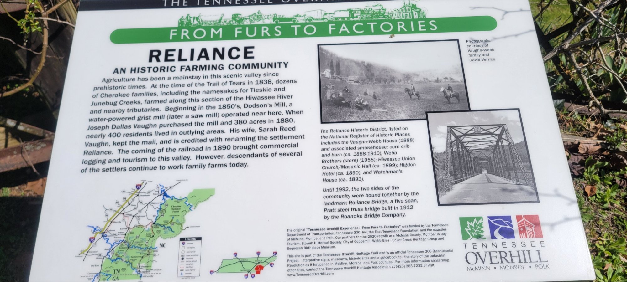
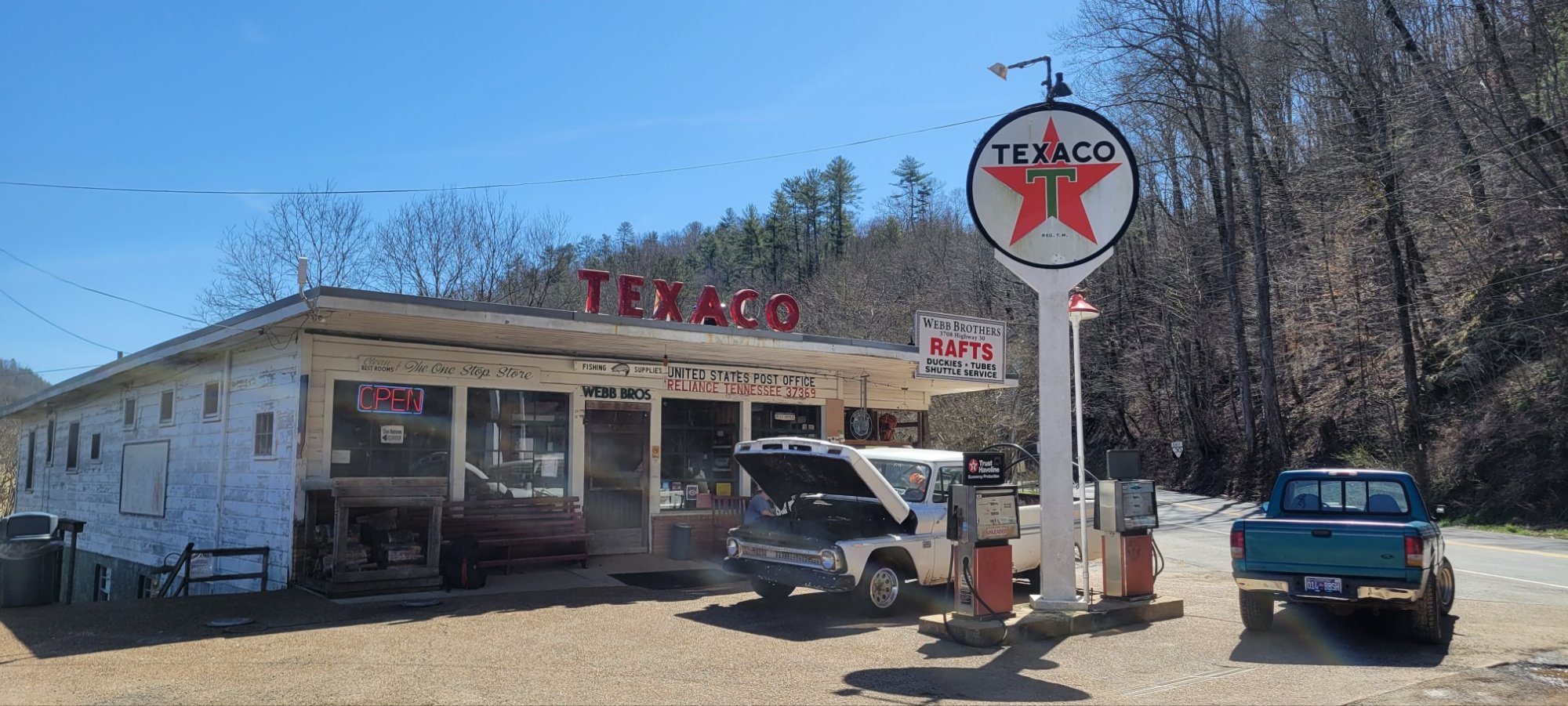
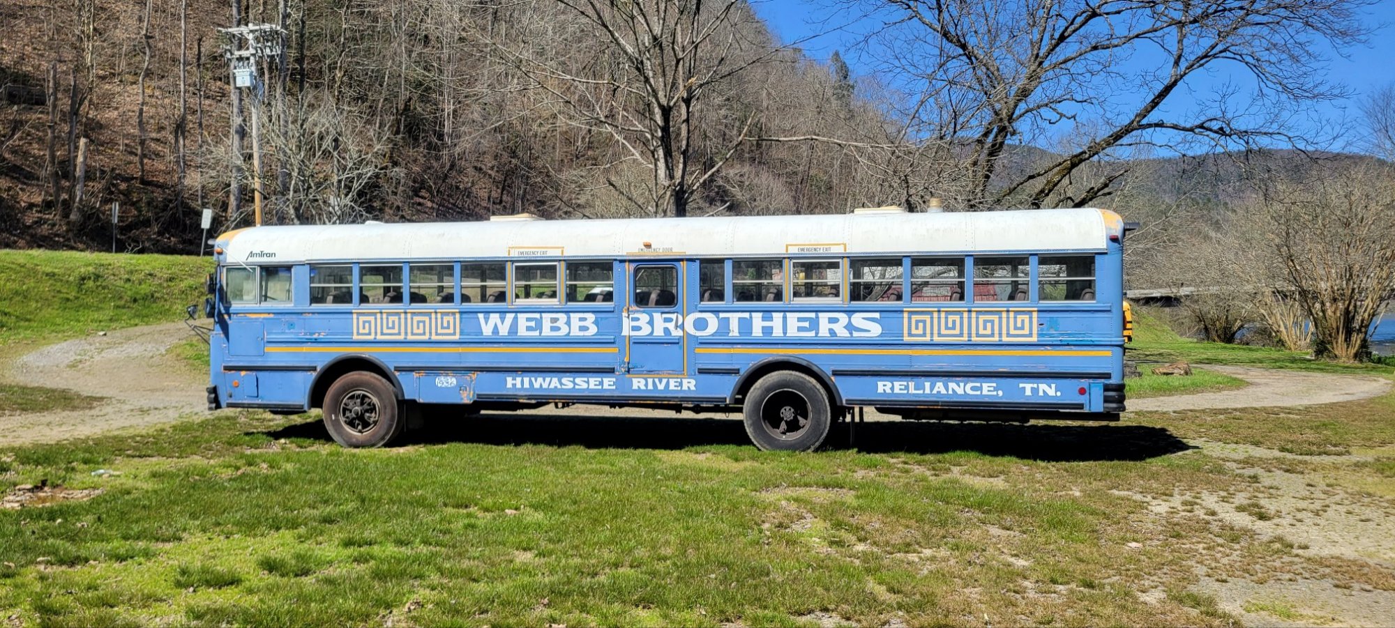
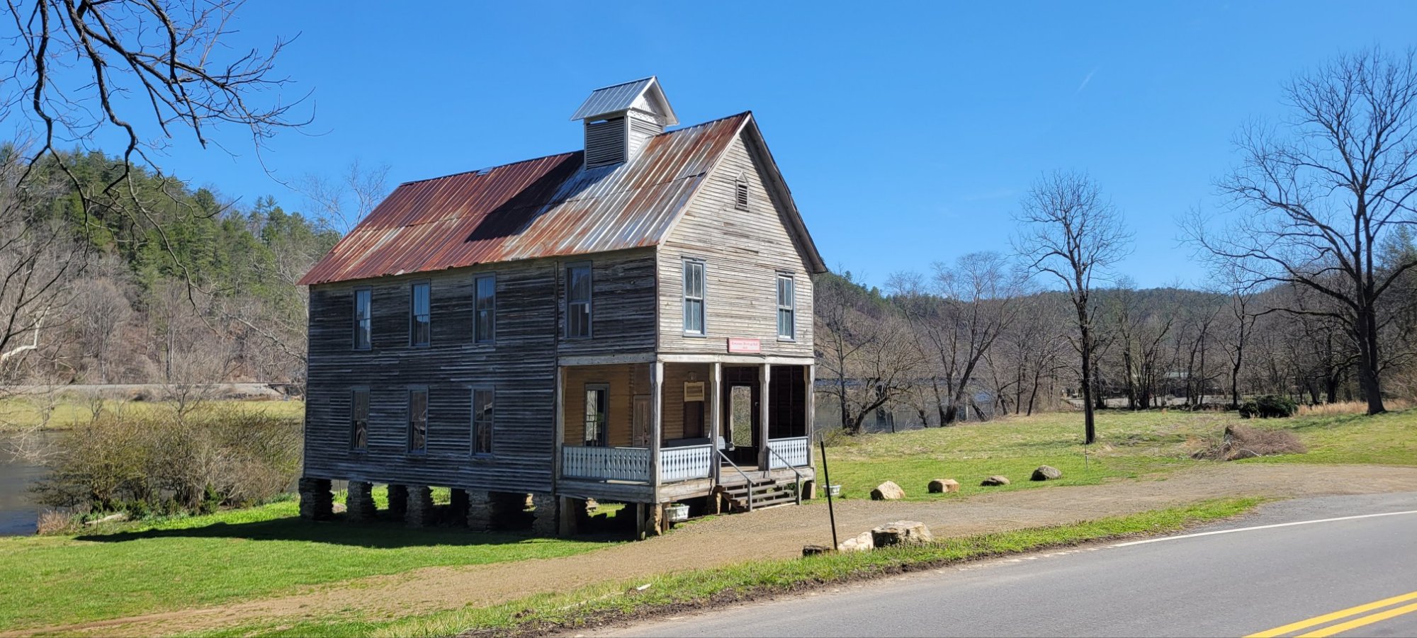
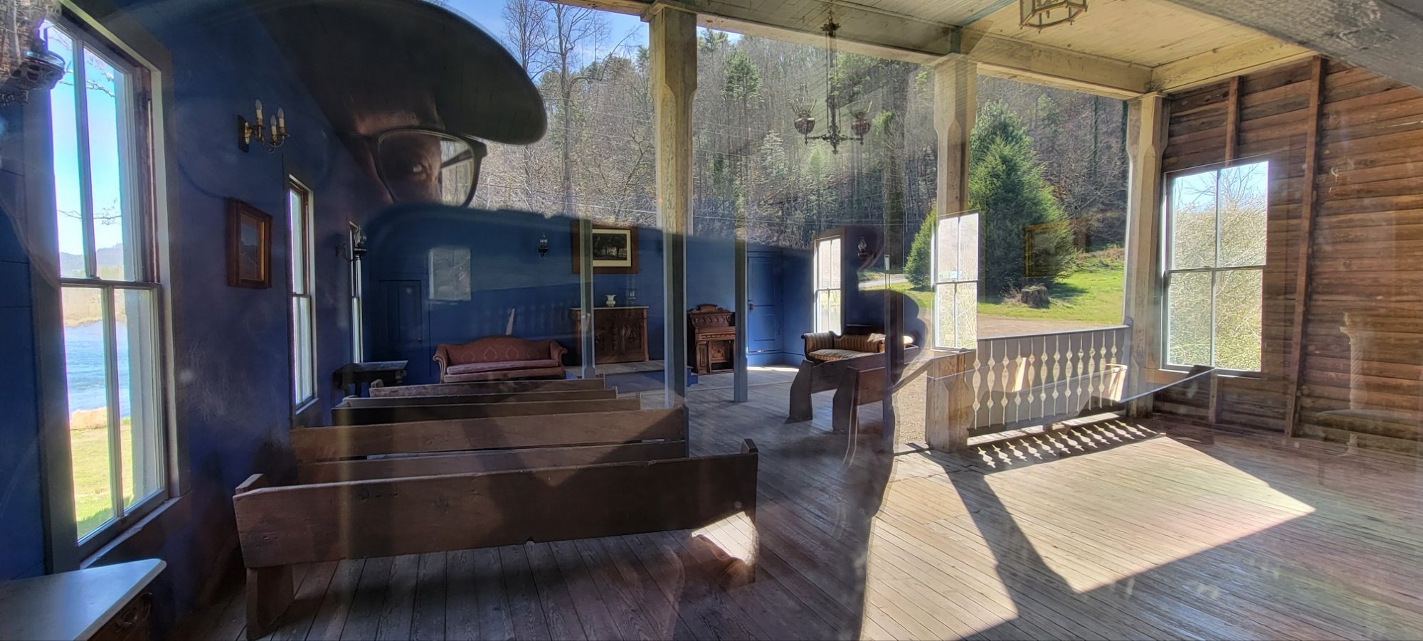
Reliance, TN


c) Andrew Carter, 2022
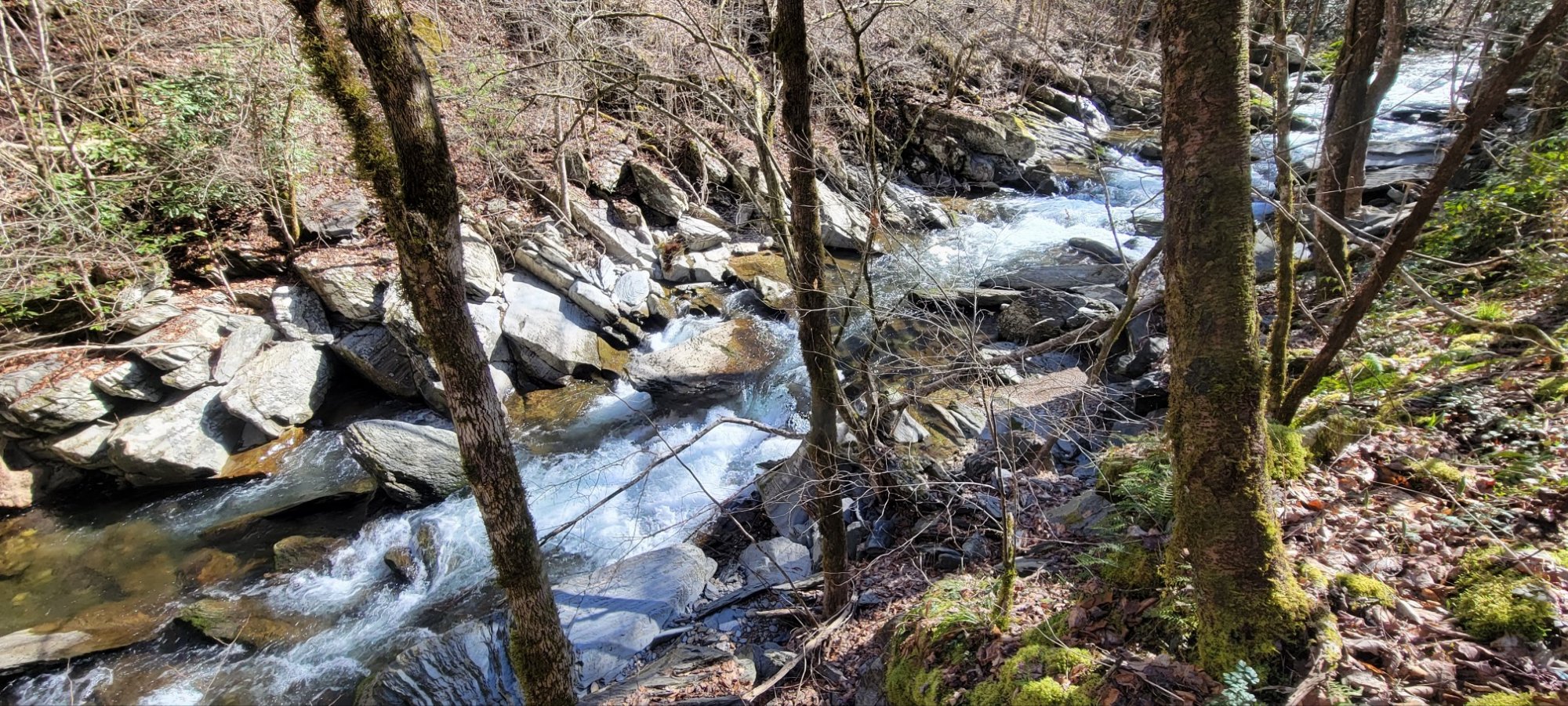
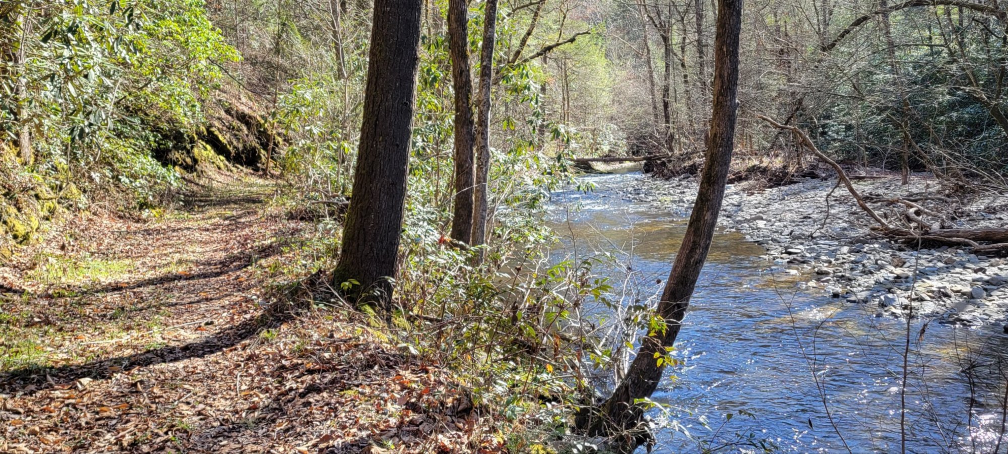
For 2.7 miles, the BMT follows the banks of Lost Creek. So peaceful and delightful, especially on an early spring day.
c) Andrew Carter, 2022
Rushing water. Deciduous trees. I’m not in the West anymore. In fact, if this were the West, this creek would be called a river.
