c) Andrew Carter, 2022
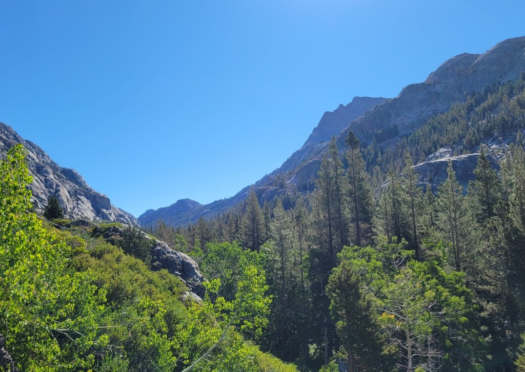
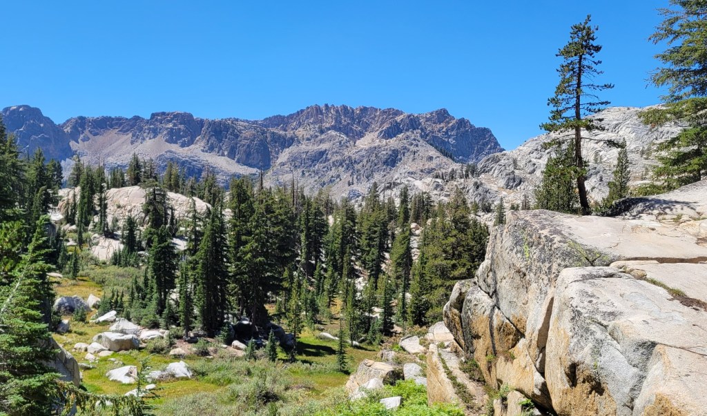
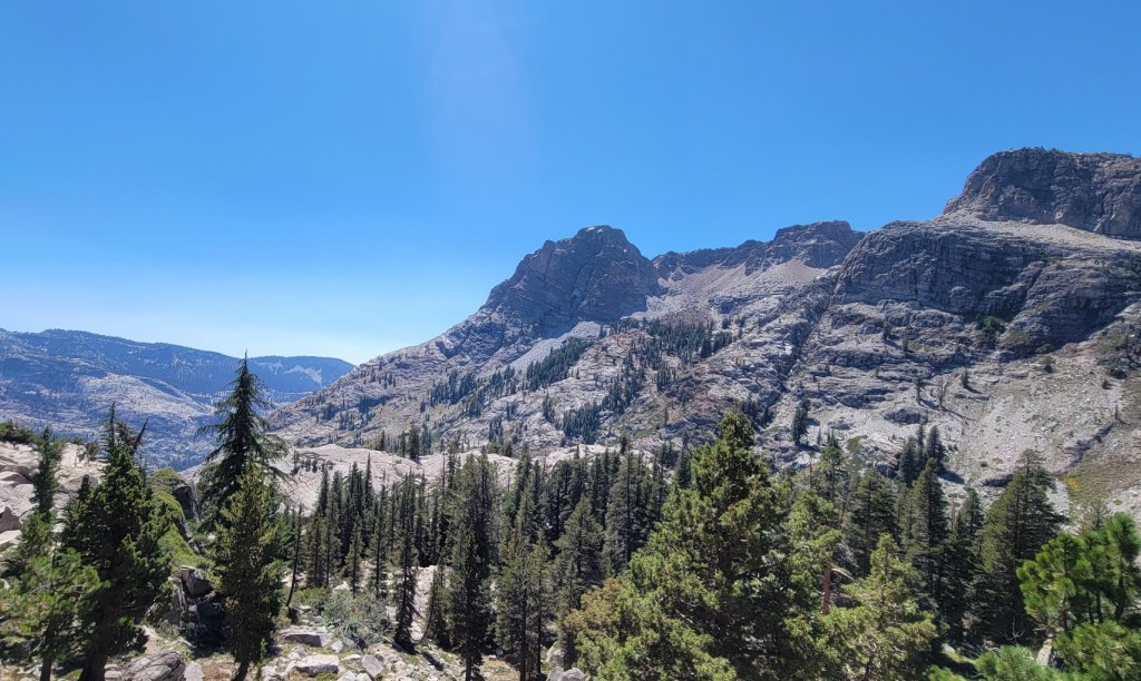
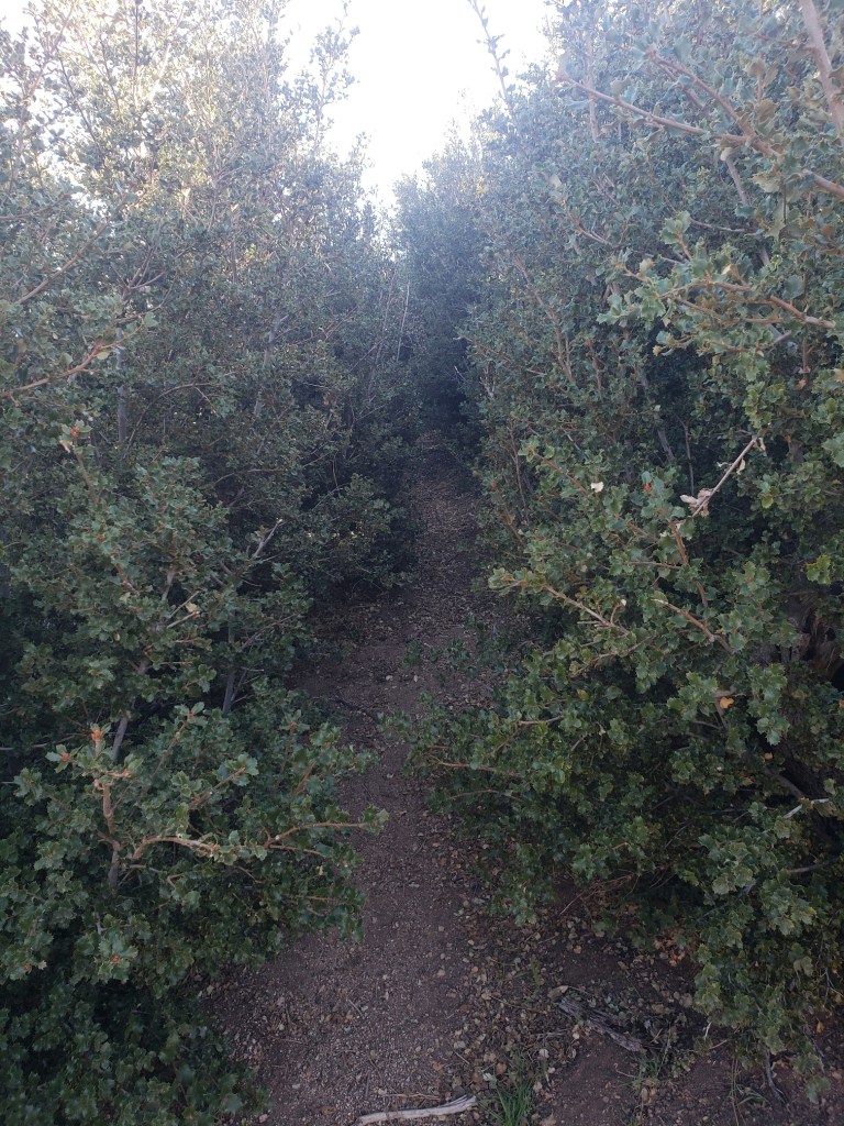
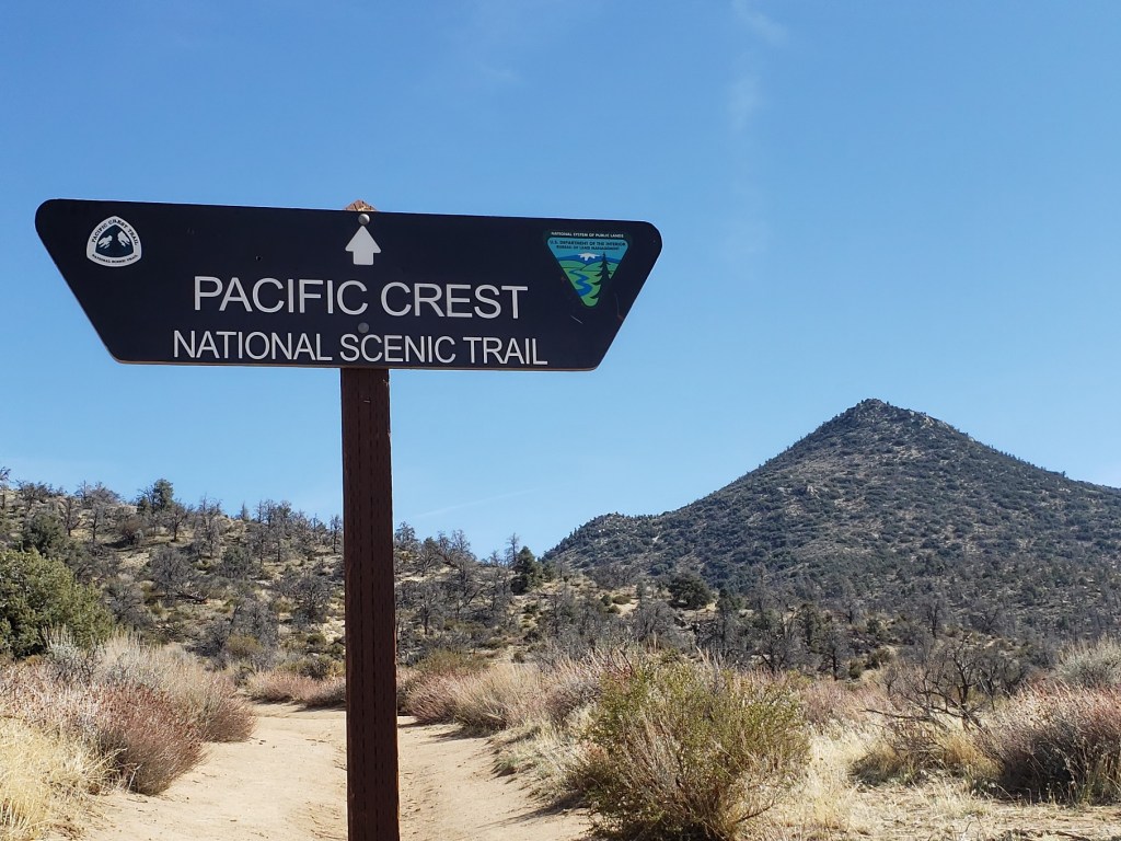
I’m back home after hiking most of the miles I had left in the Pacific Northwest. That was all of Washington plus the miles in Oregon from Santiam Pass to Cascade Locks.
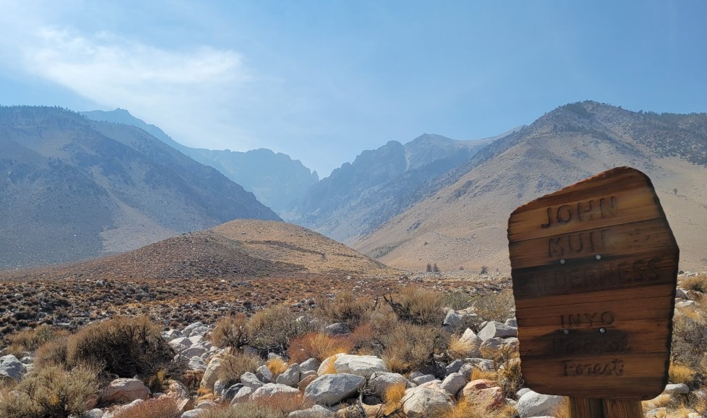
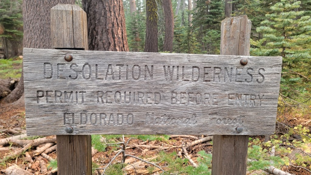
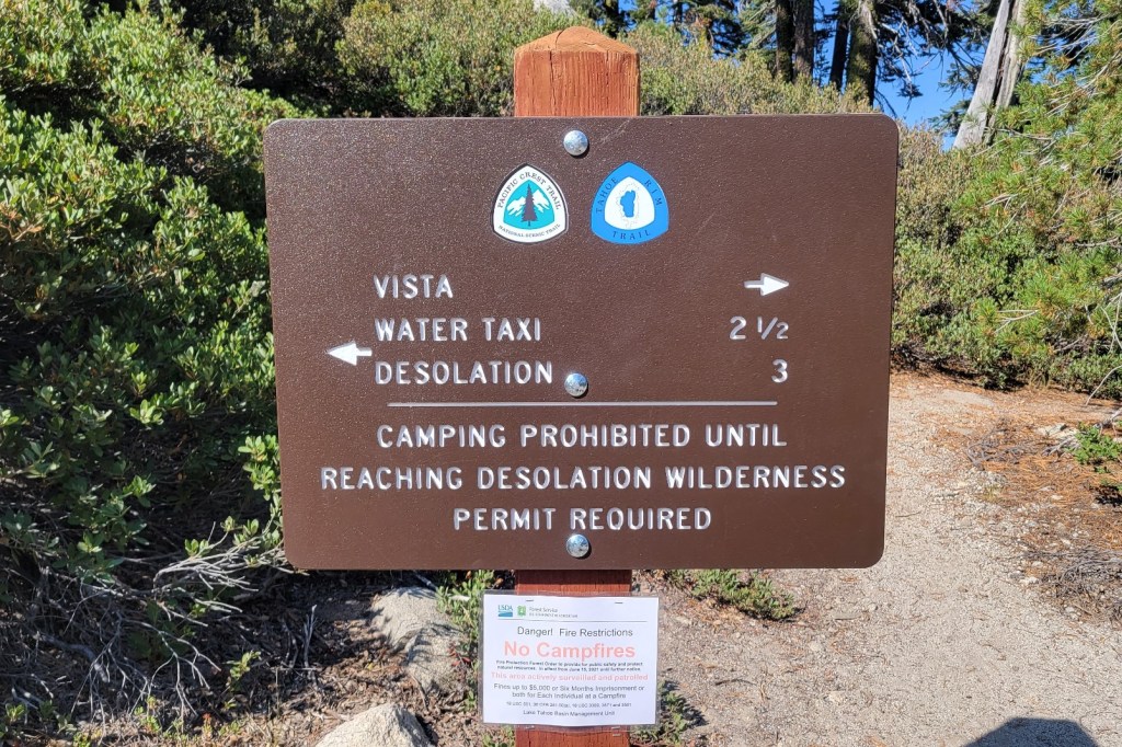
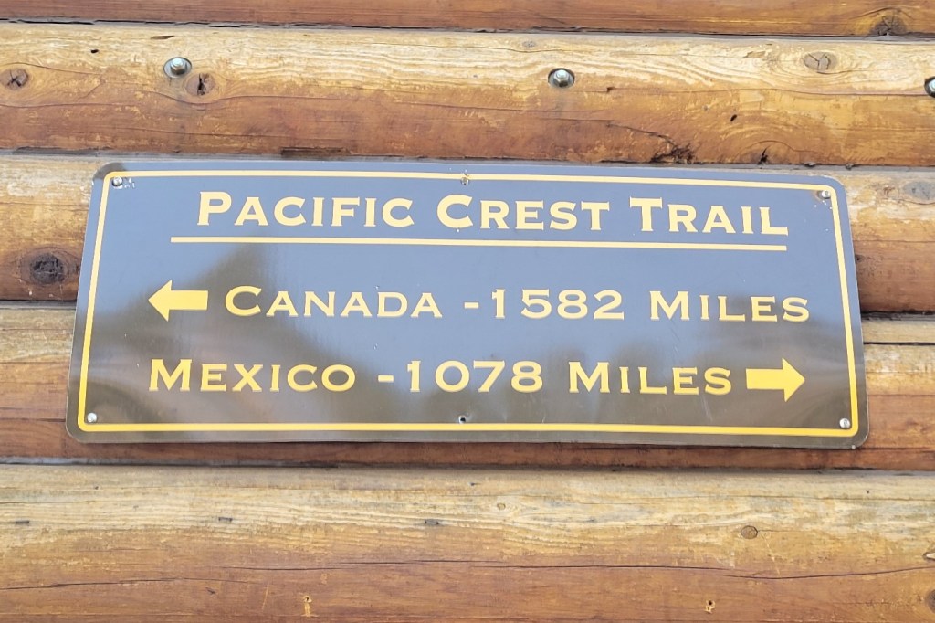
Unfortunately, the northernmost section of the trail near the Canadian border is currently closed due to wildfires, so I got off the trail at Stehekin. That leaves me 80 miles of the PCT to hike in 2023. My “Thru in Two” effort will now become a “Thru in Three” endeavor.
I’m disappointed I won’t be able to complete the PCT this year, but not terribly so. I’m retired. I live close by. It’s easy for me to get back to the trail.
It’s not like I’m one of the many younger hikers I saw who have put their lives on hold for a year and may not be able to return to the trail anytime soon. I’m also not a foreign hiker who has travelled thousands of miles to get to the US, spent hundreds of dollars, perhaps thousands of dollars for the airfare, and had to procure a visa to make the trip.
The one advantage to the delay is that Canada may once again allow PCT hikers to hike into their country next year. The Canadian border has been closed the past three years due to Covid. The northern terminus is just 8 miles from civilization in British Columbia. It’s about 60 miles from civilization in the US.
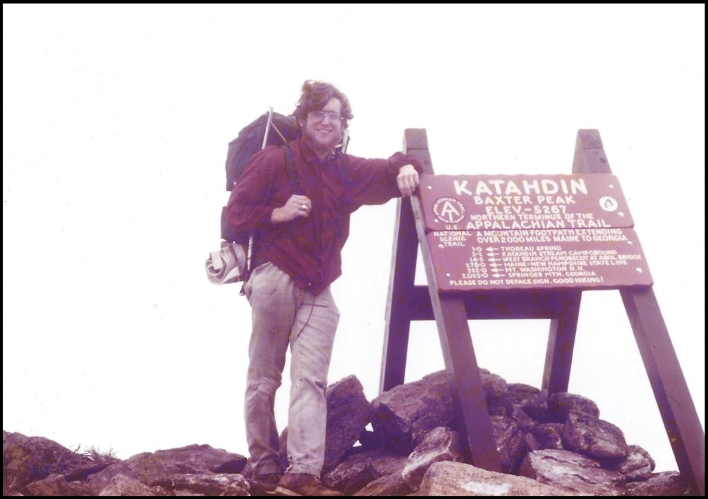
Also, given the back and forth nature of my LASH (long *ss section hike), it will be nice to finish at an official terminus point. If that happens, I plan to take a photo of myself at the Canadian border to mimic the one I took in 1977 of me at the northern terminus of the Appalachian Trail. (See below.)
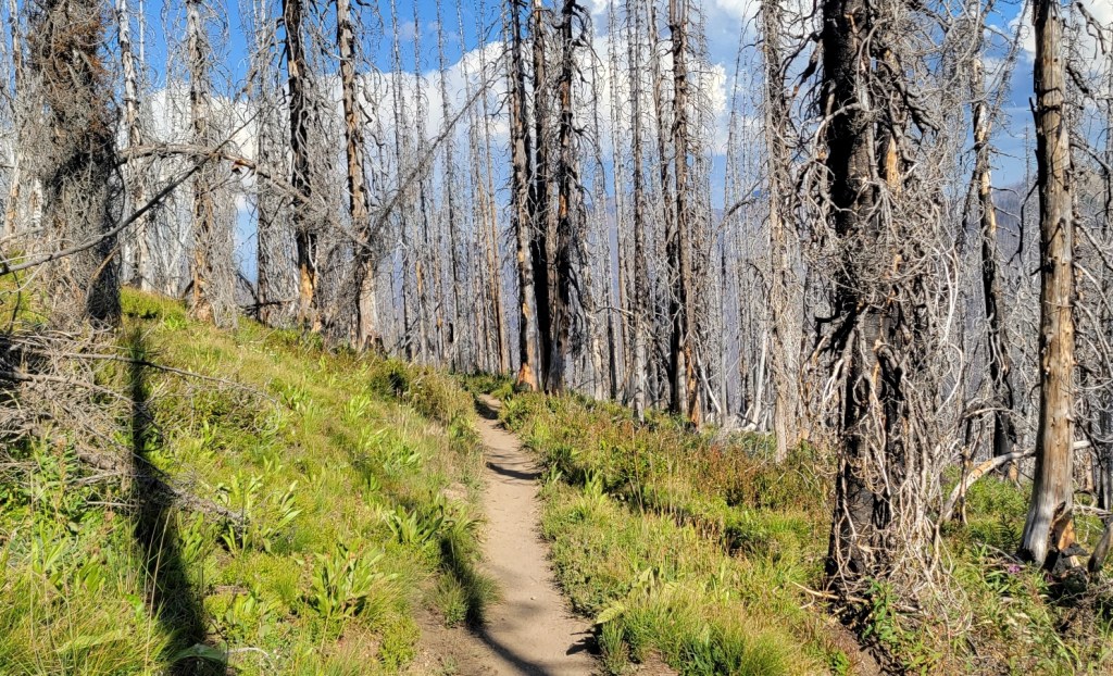
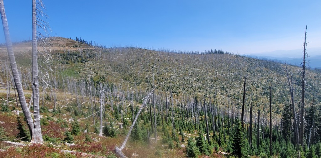
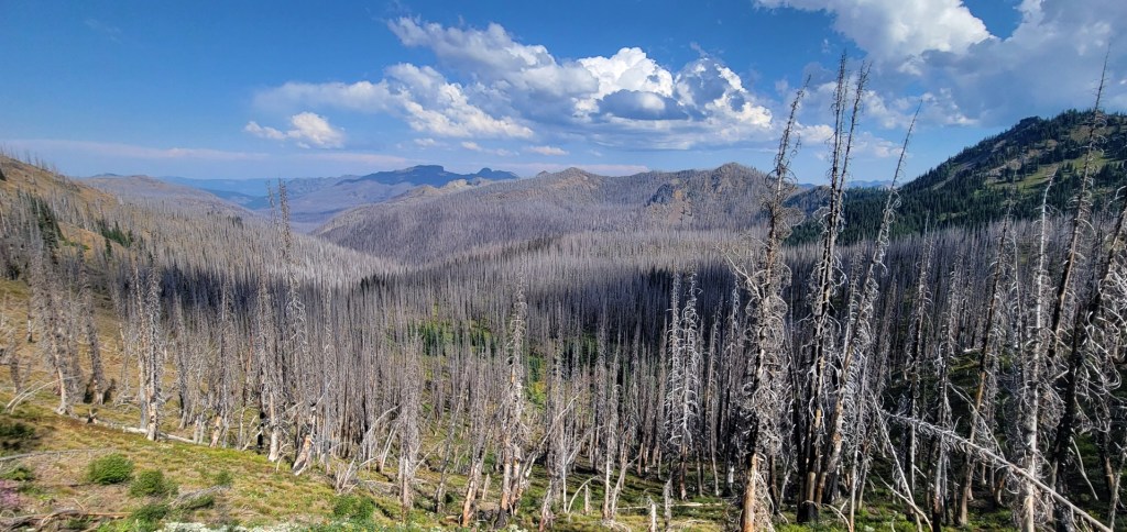
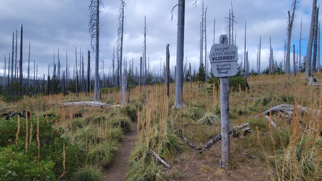
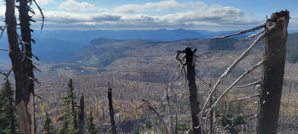
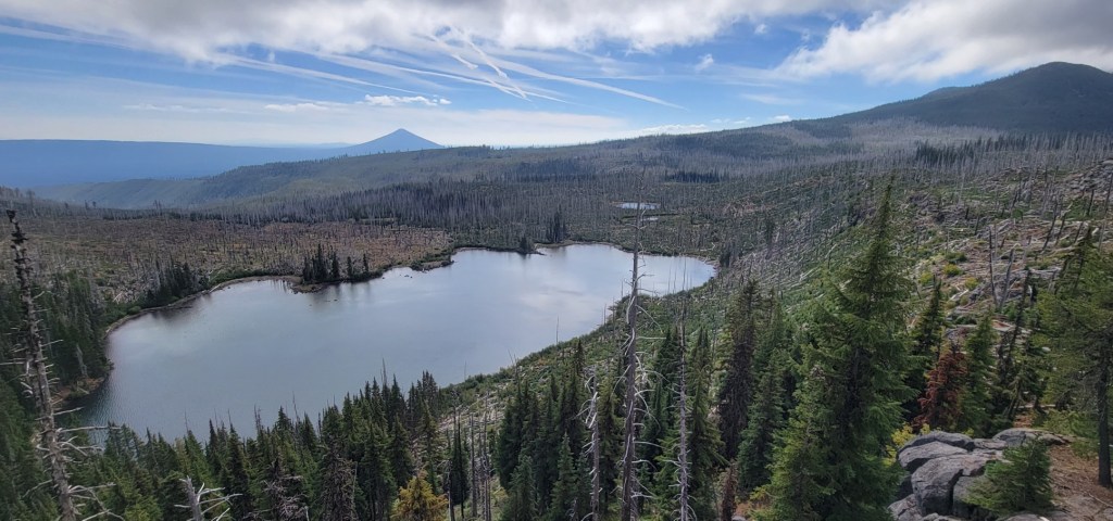
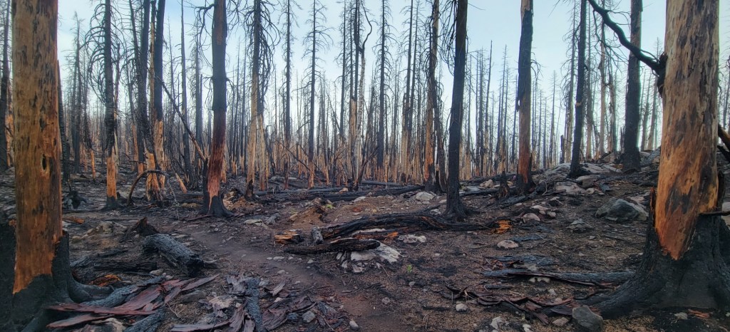
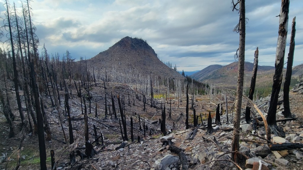
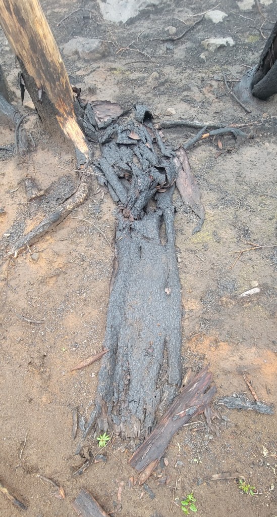
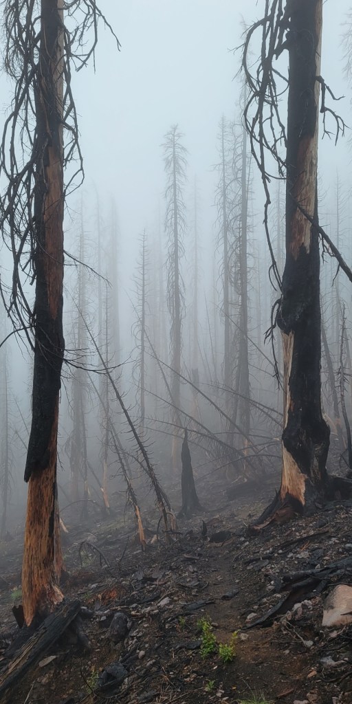
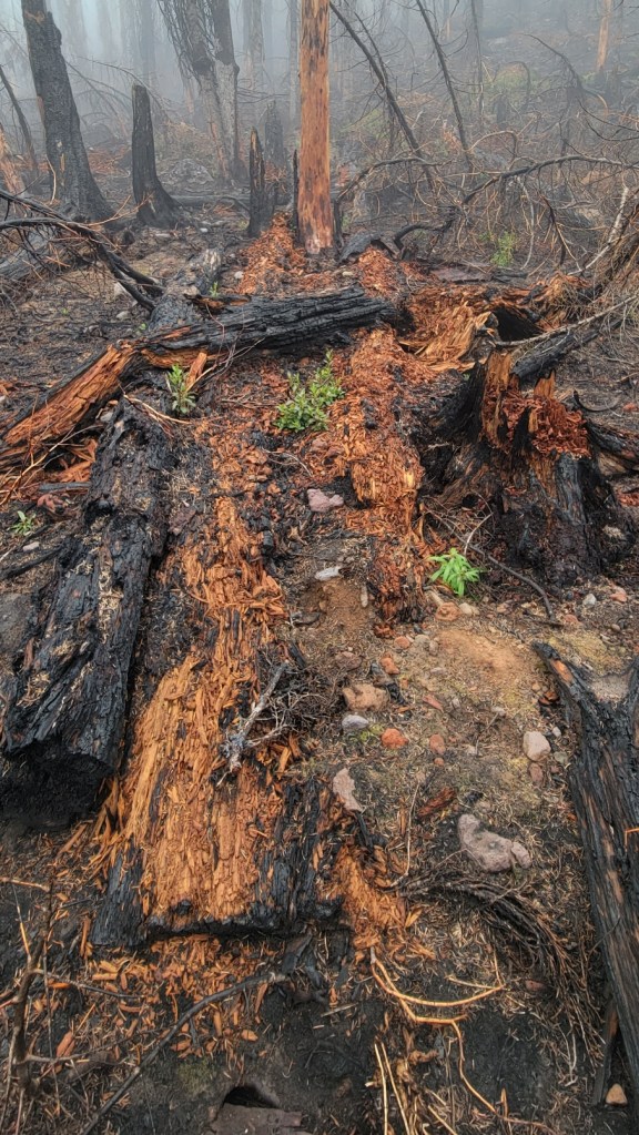
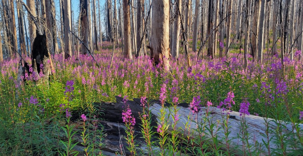
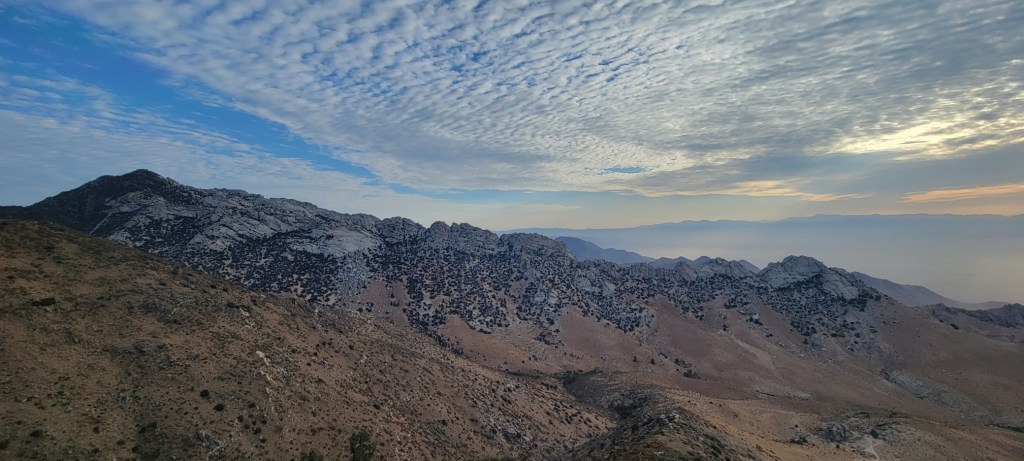
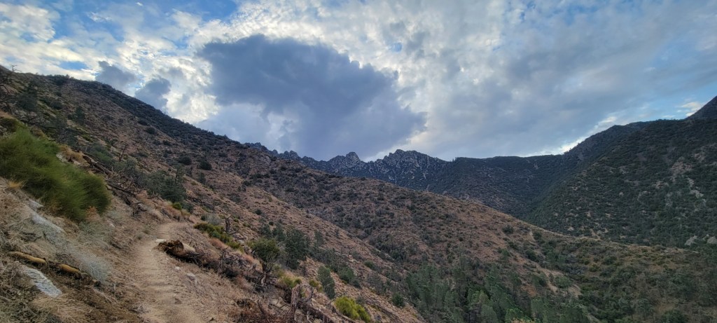
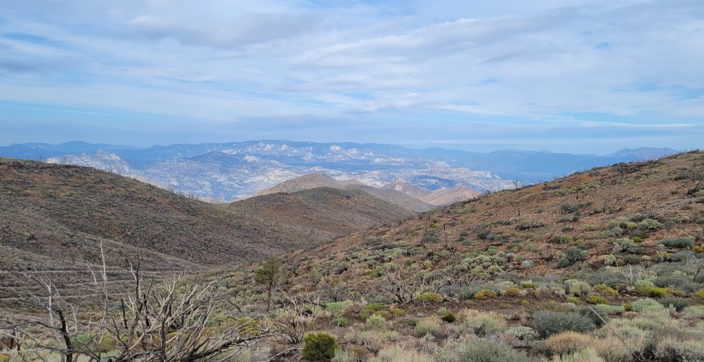
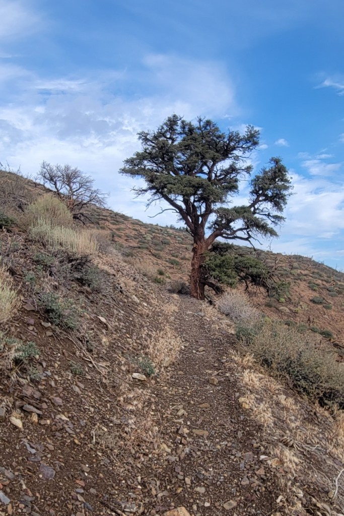
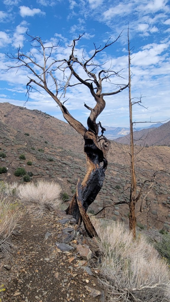
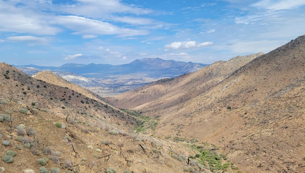
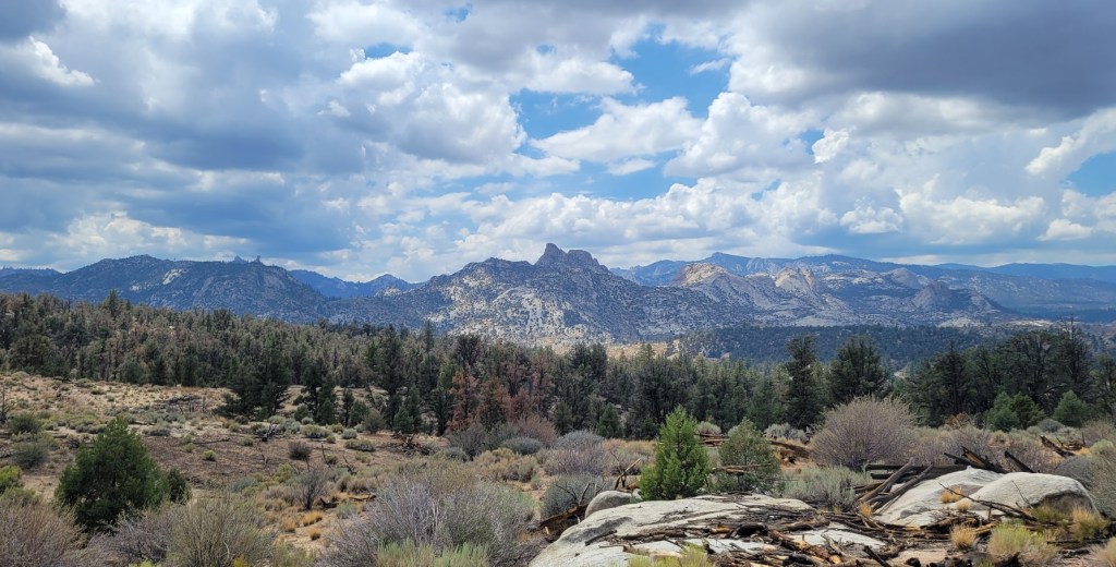
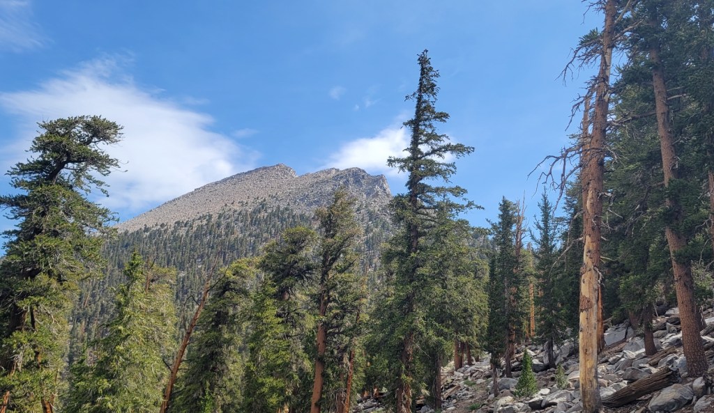
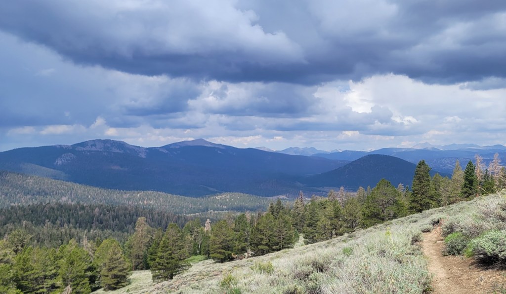
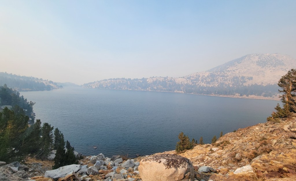
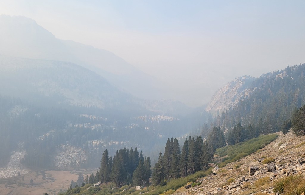
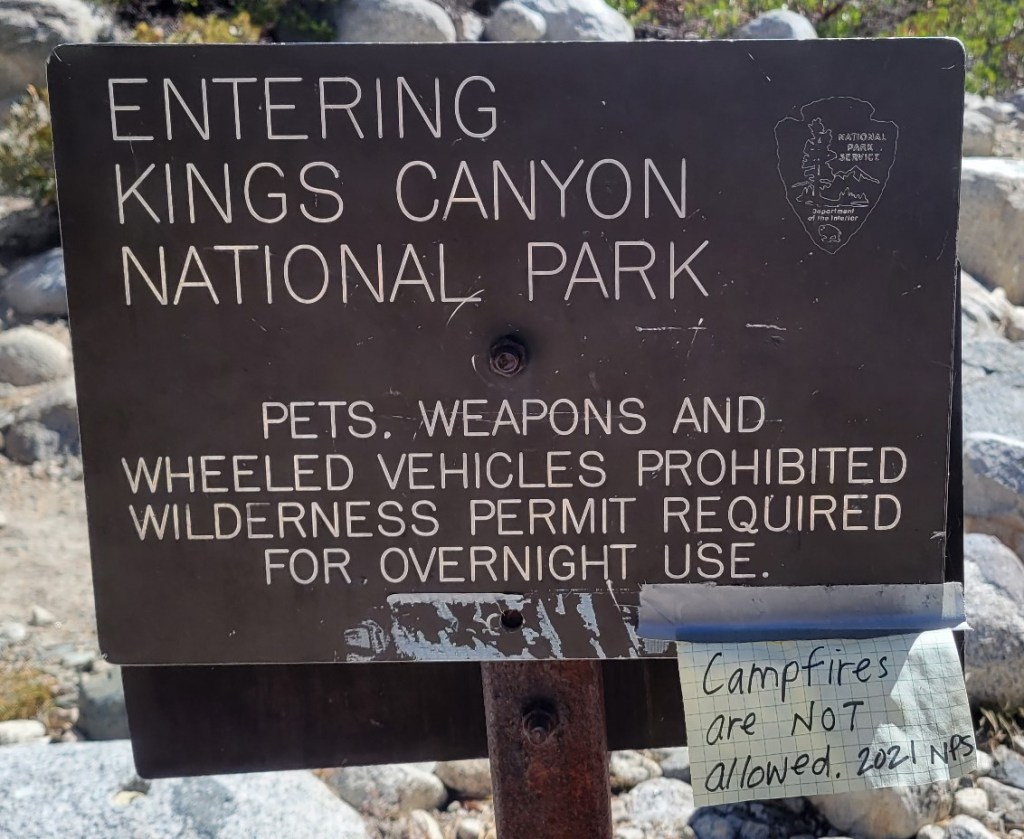
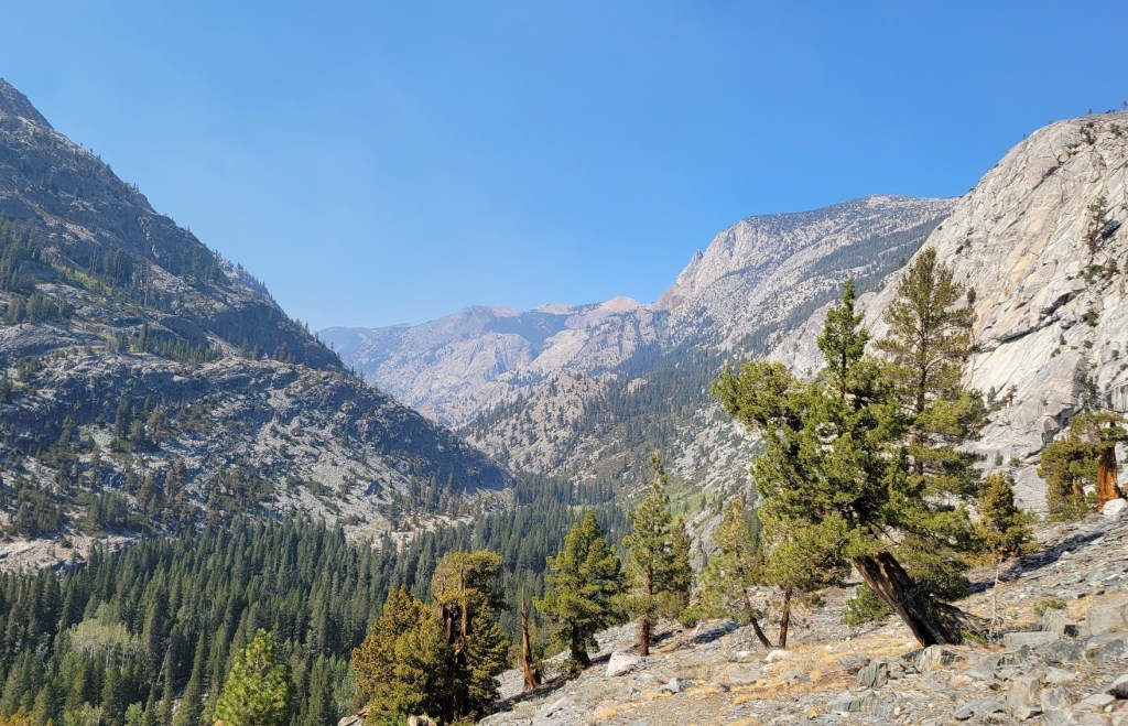
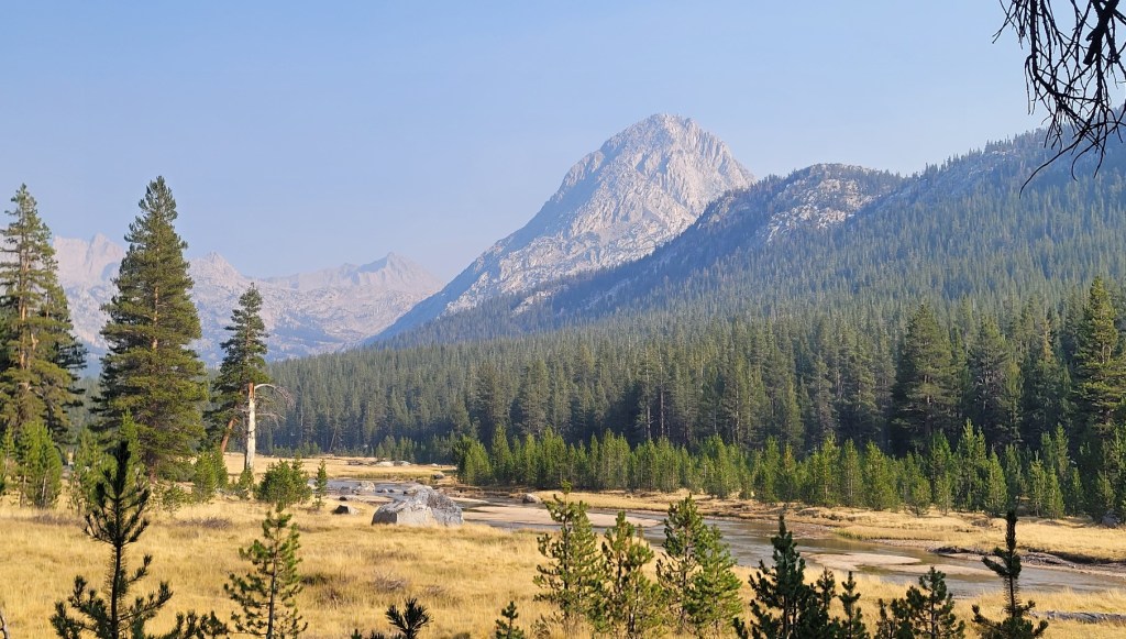
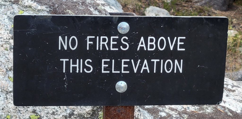
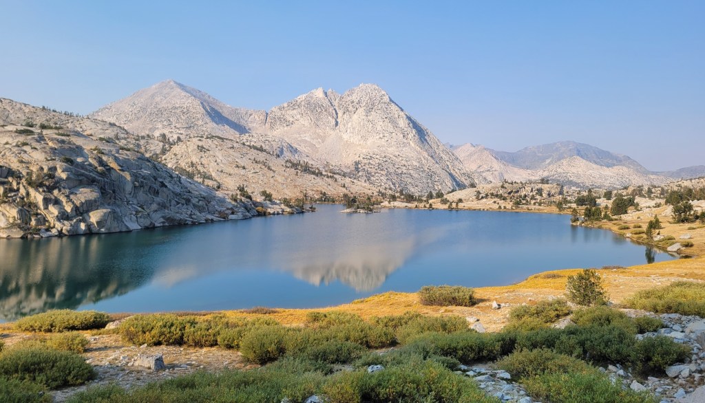
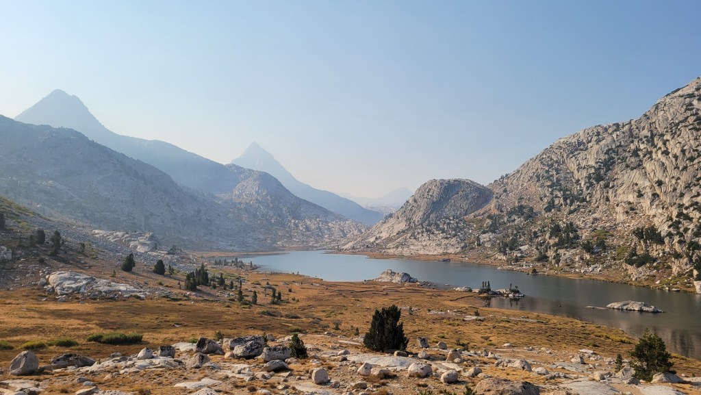
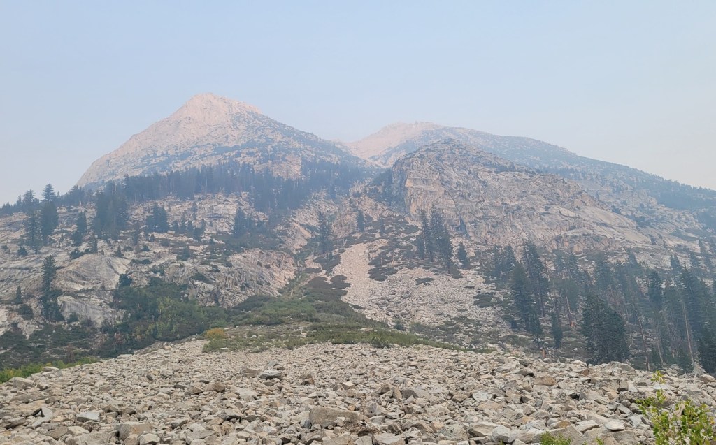
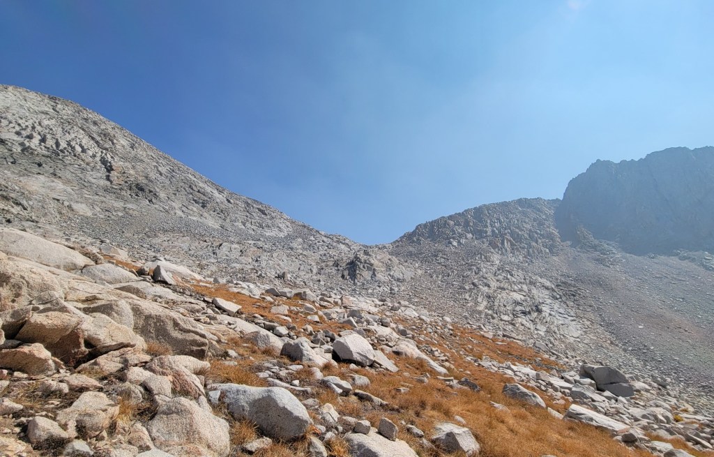
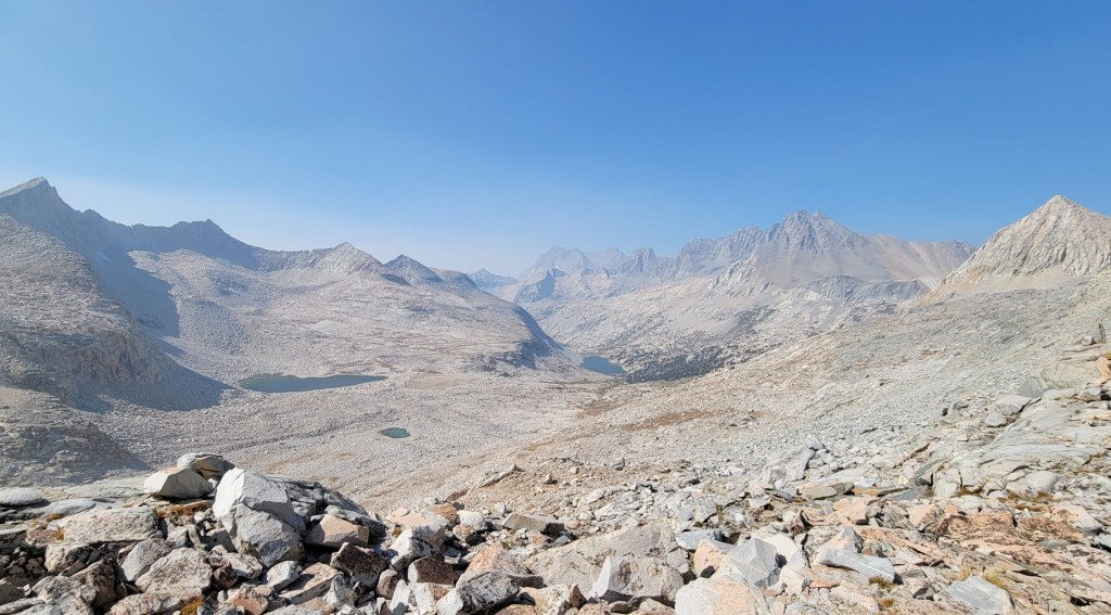
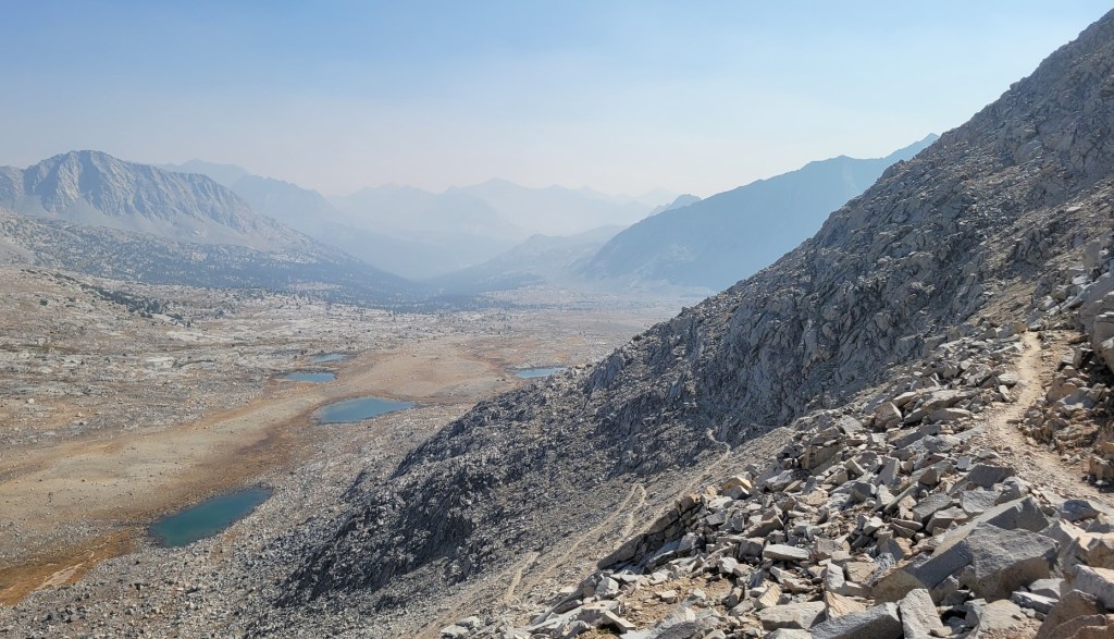
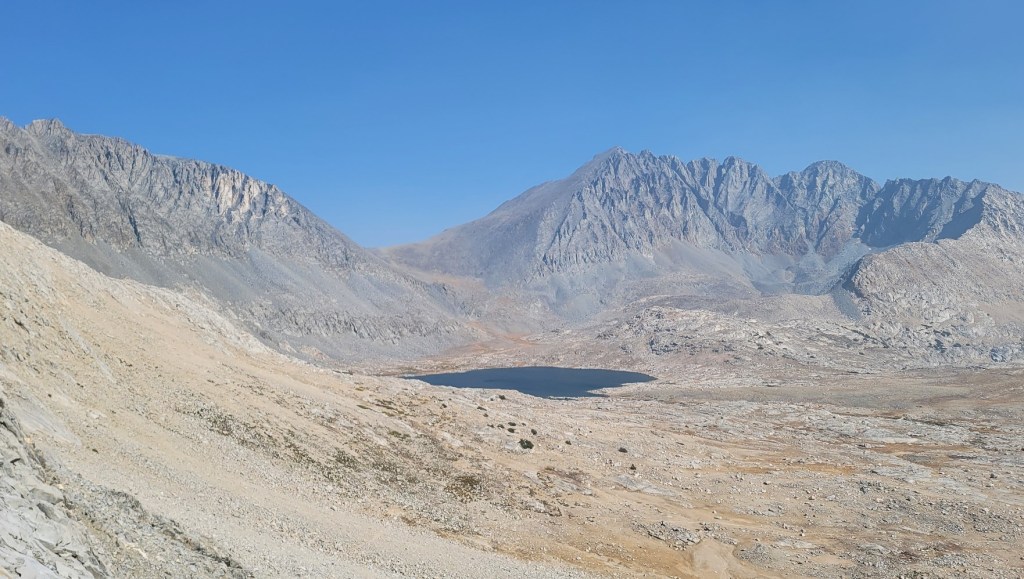
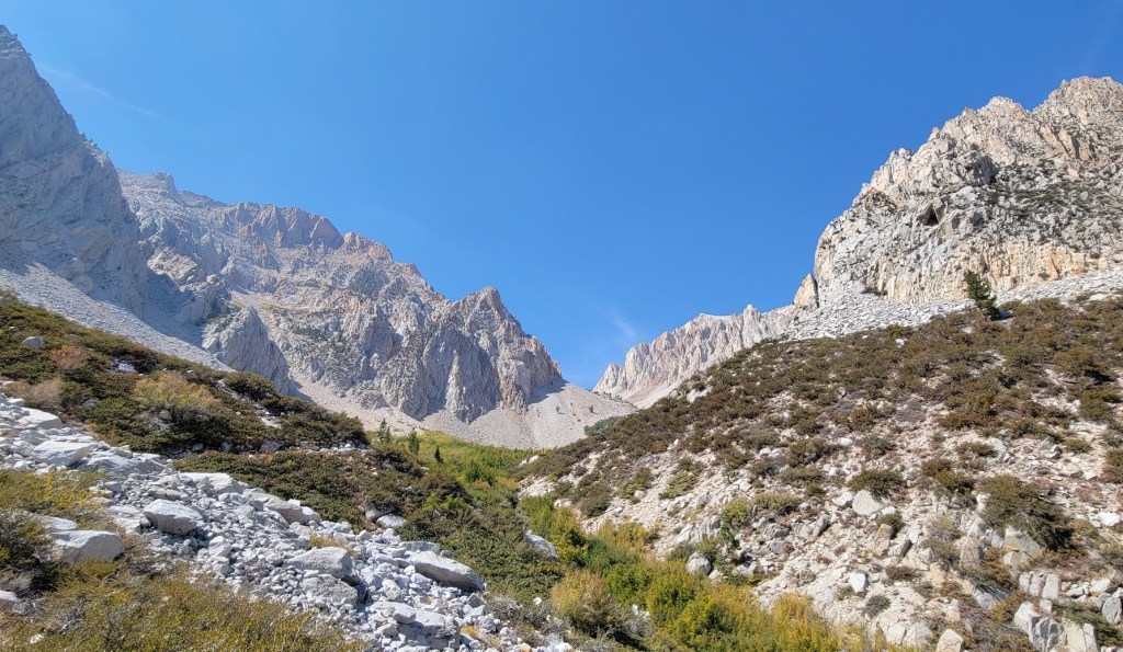
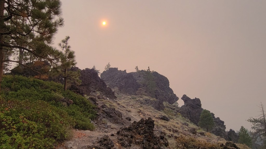
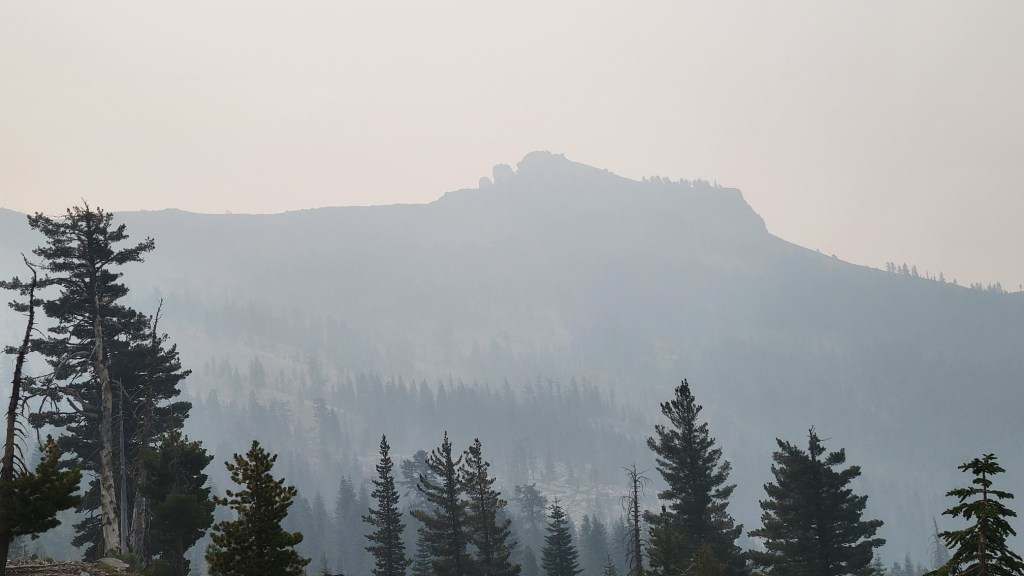
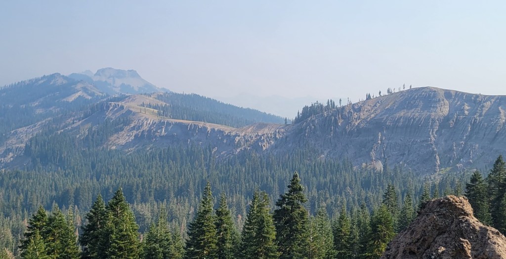
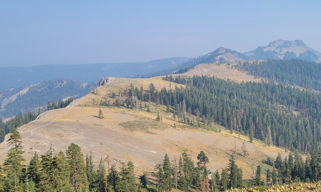
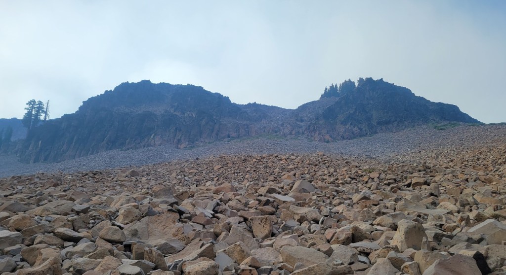
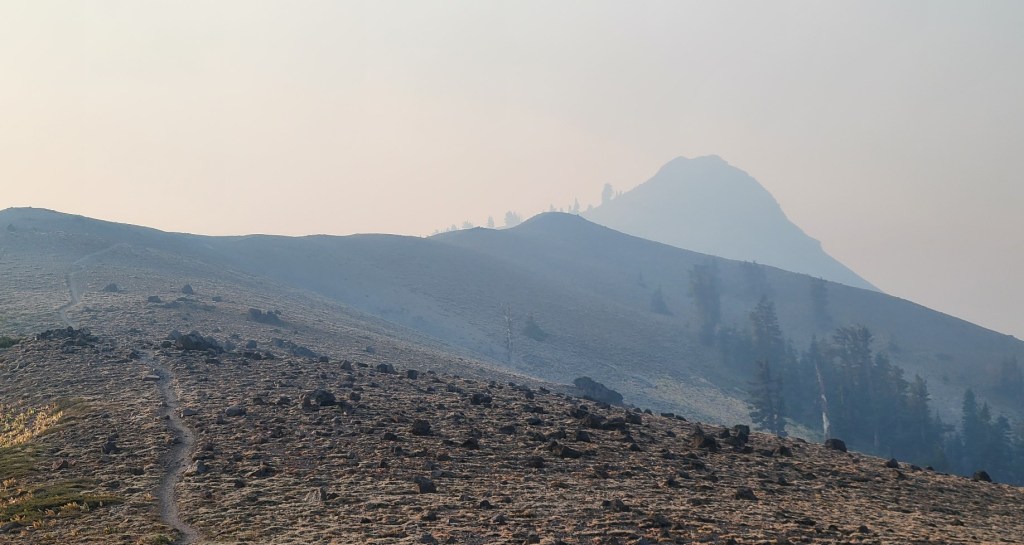
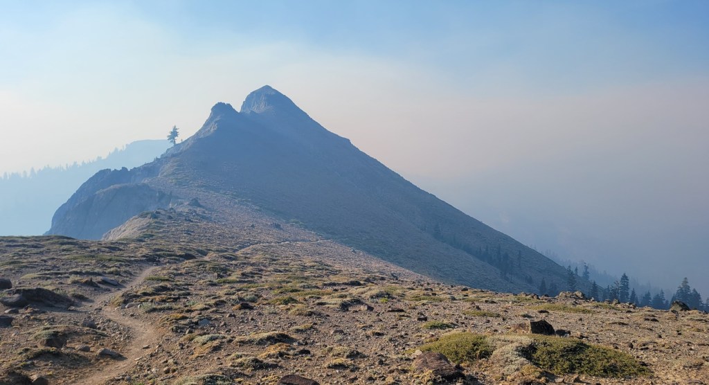
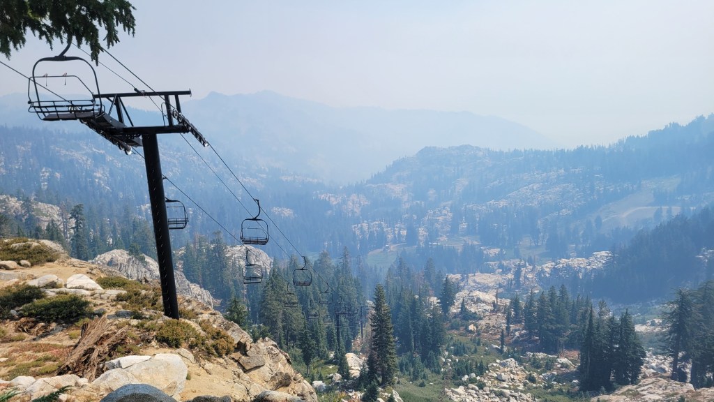
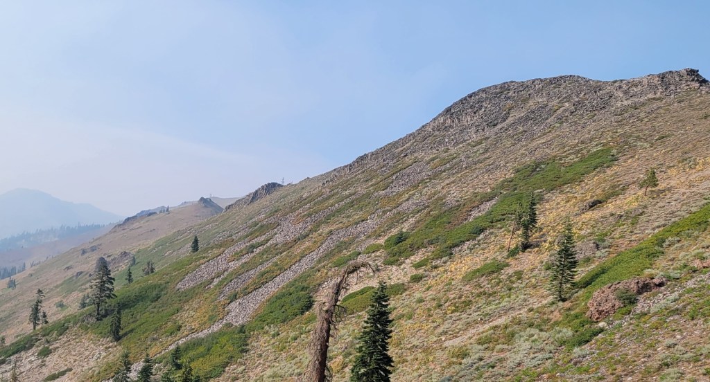
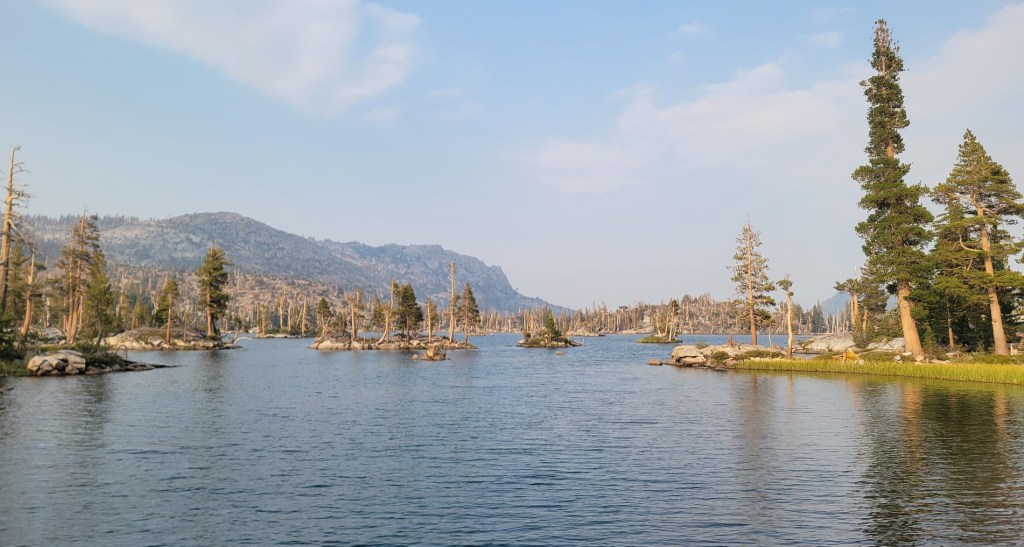
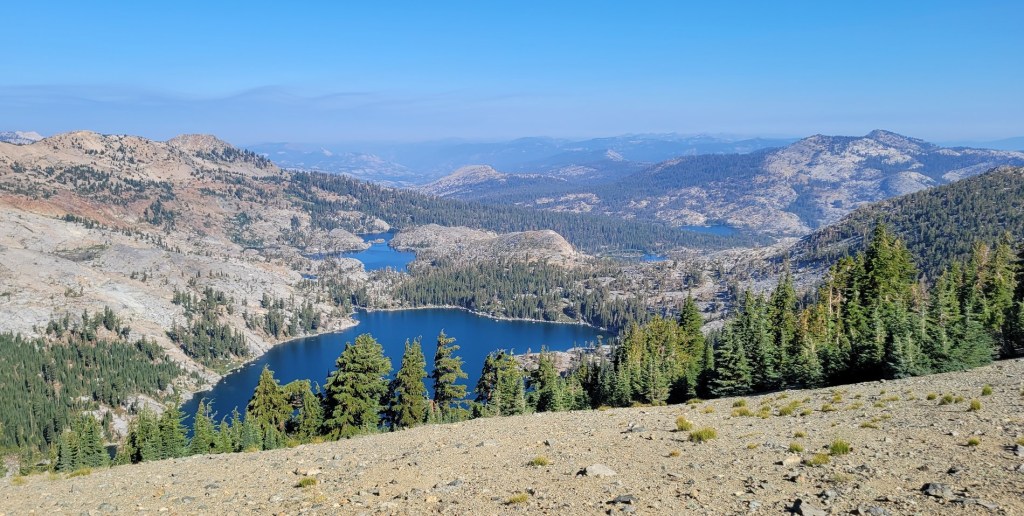
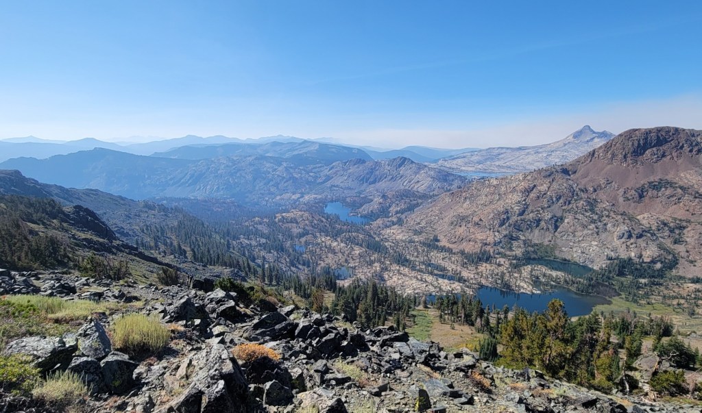
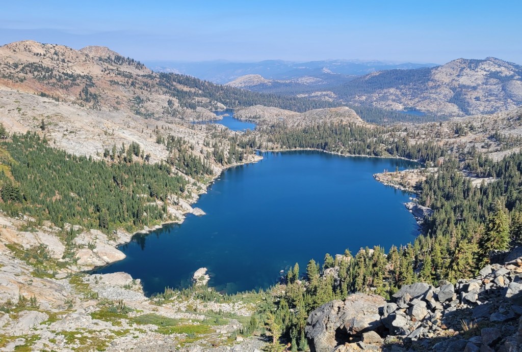
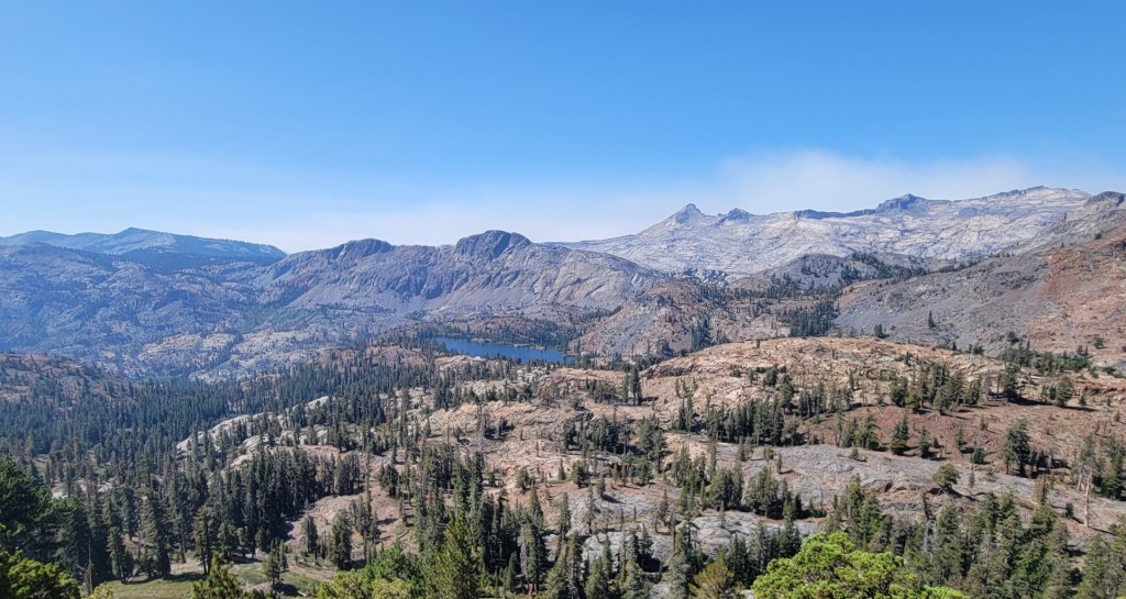
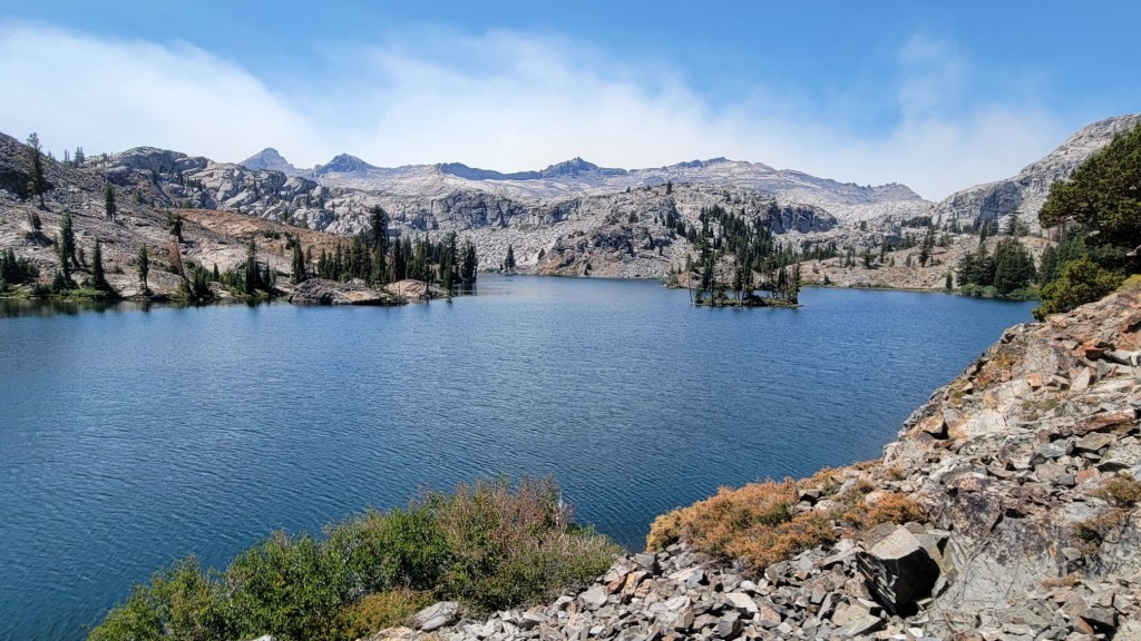
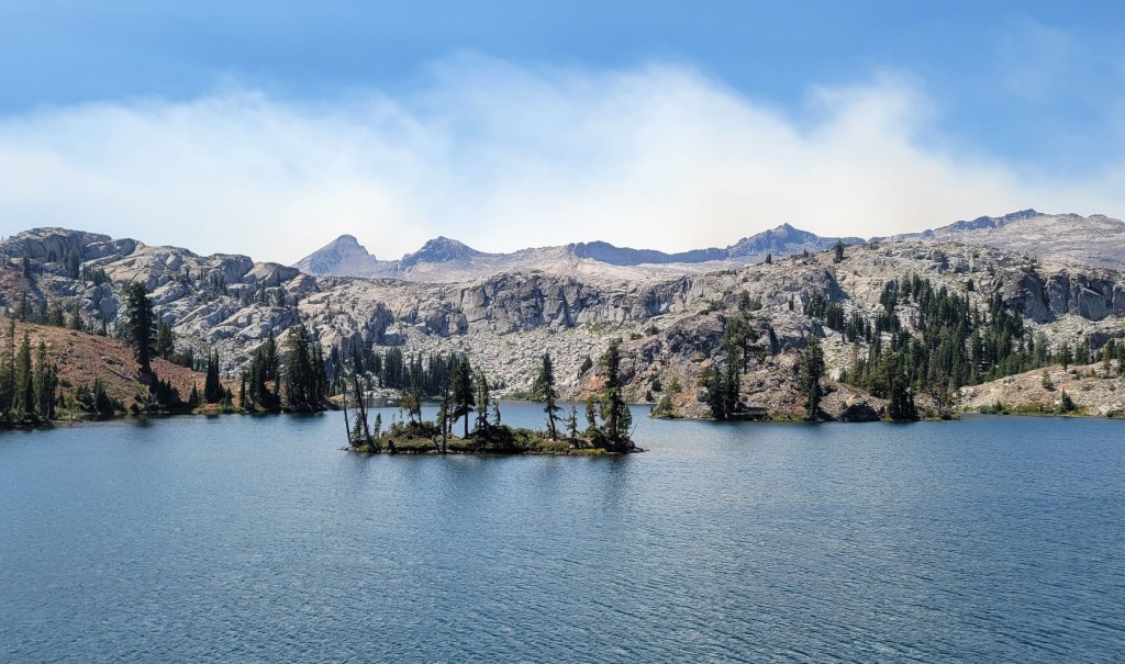
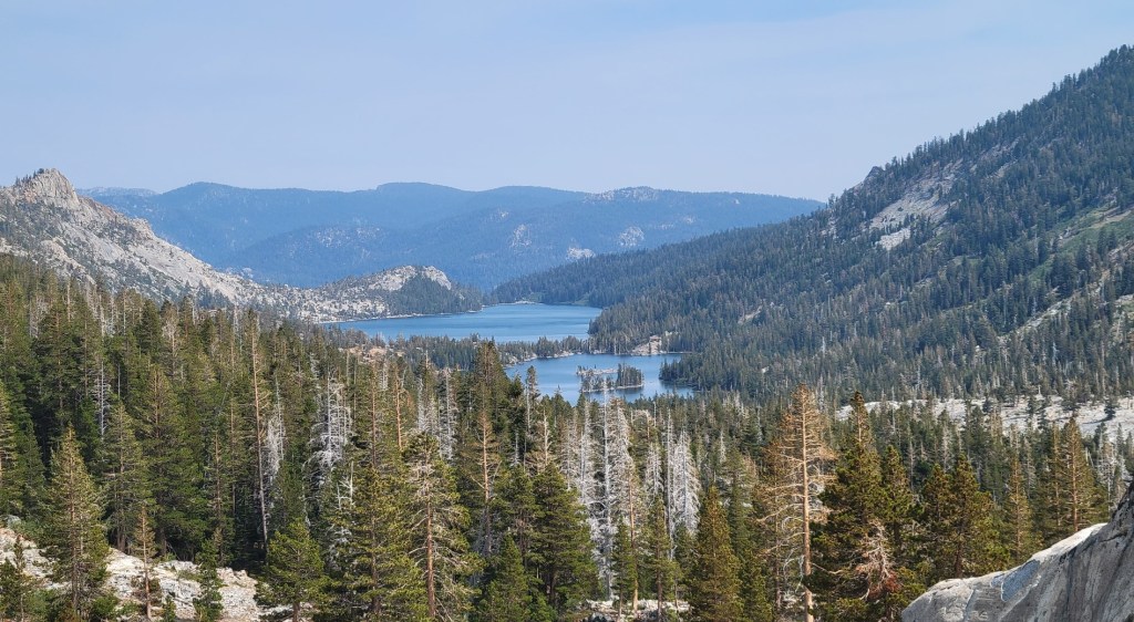
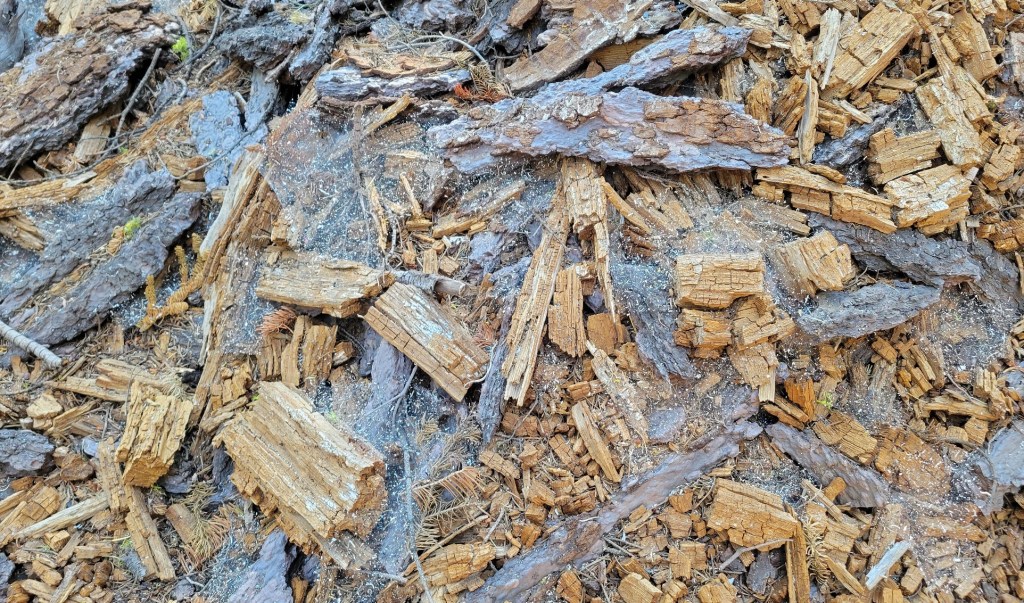
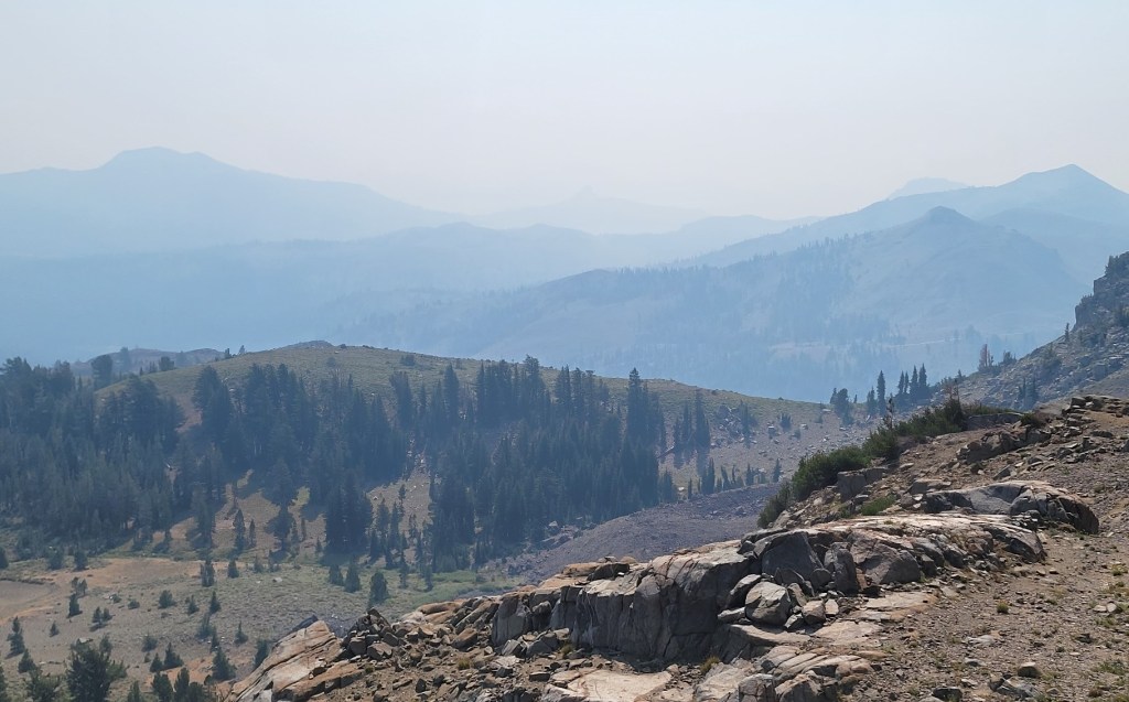
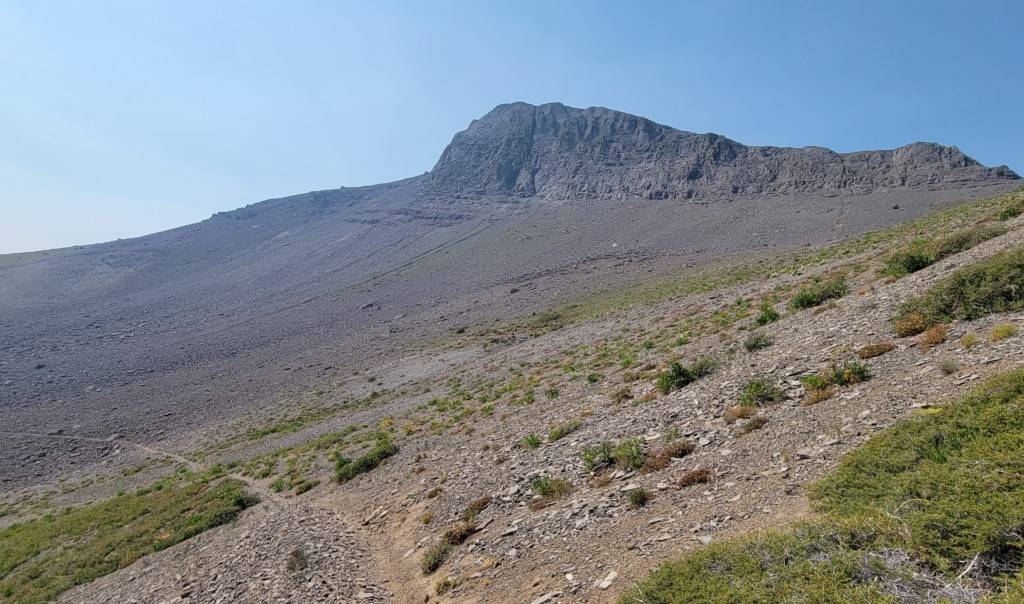
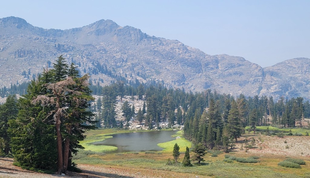
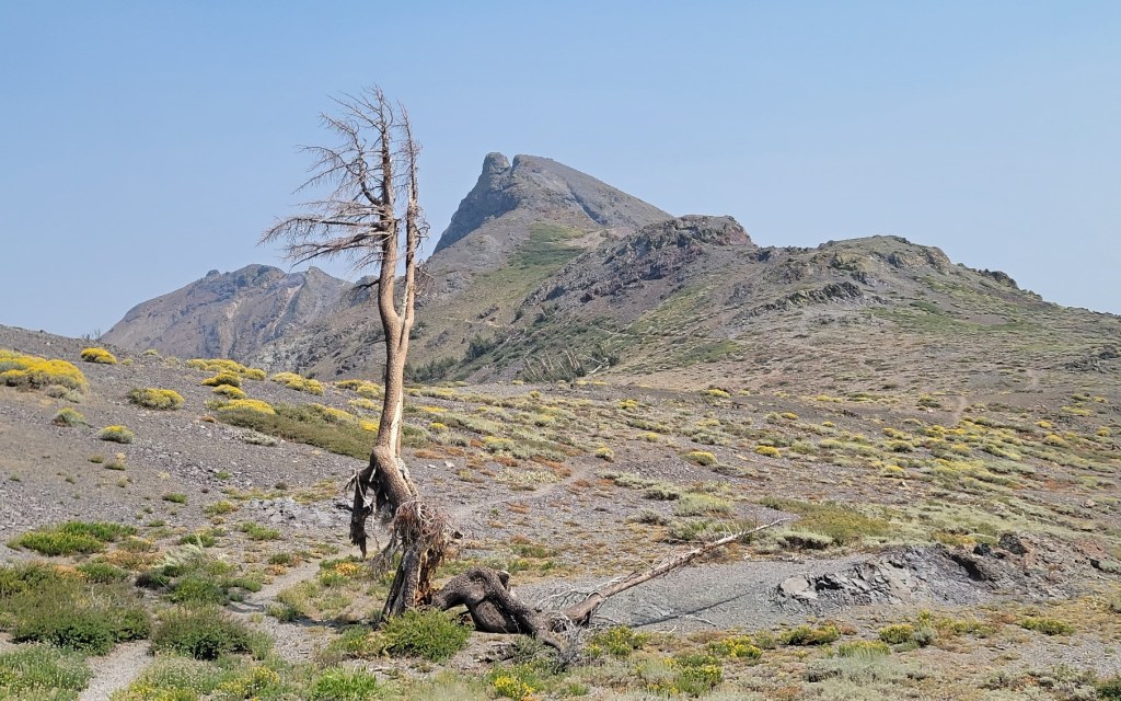
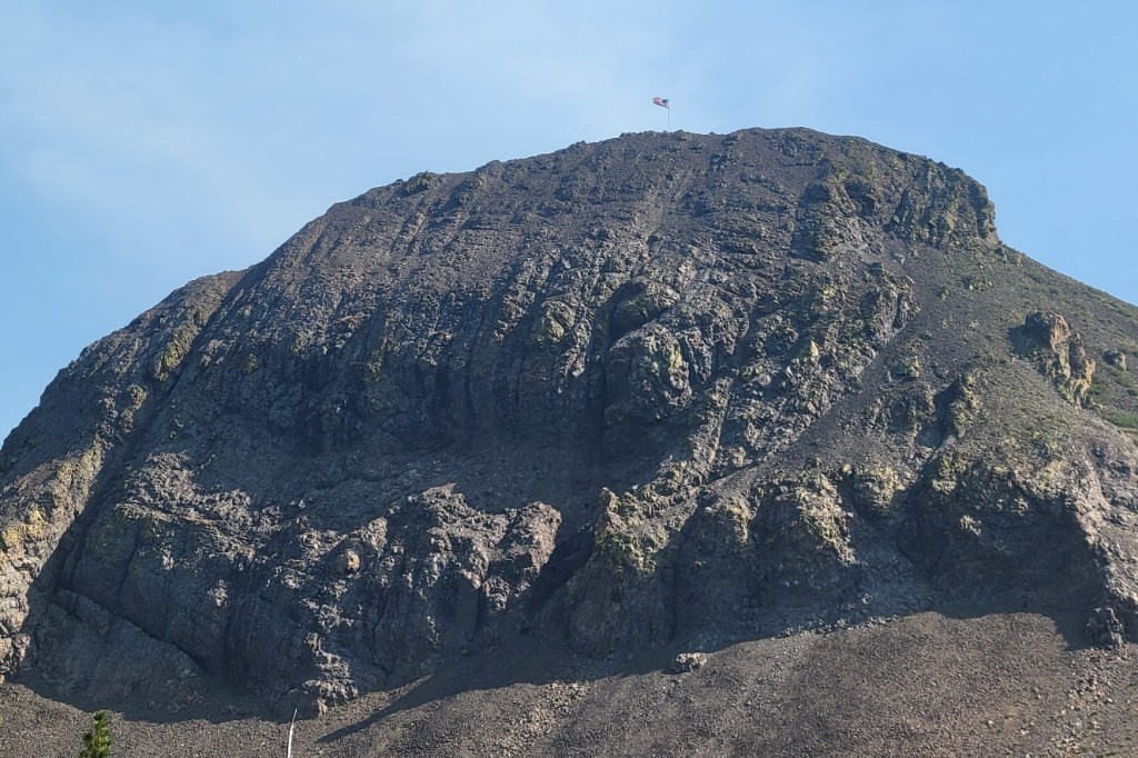
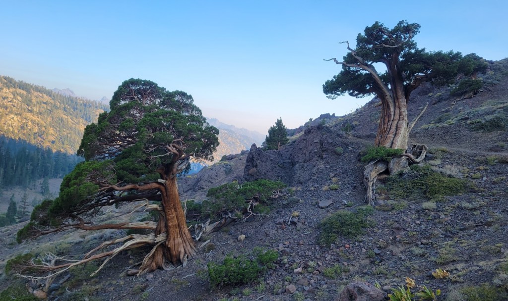
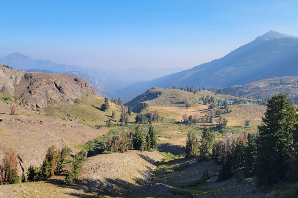
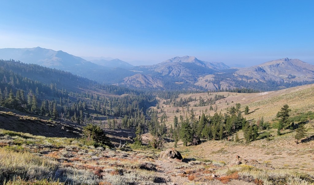
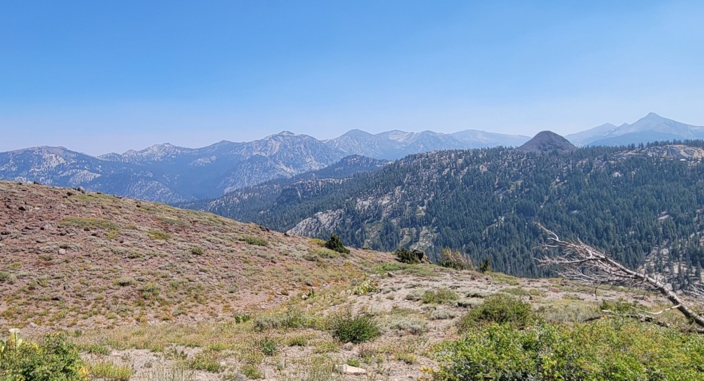
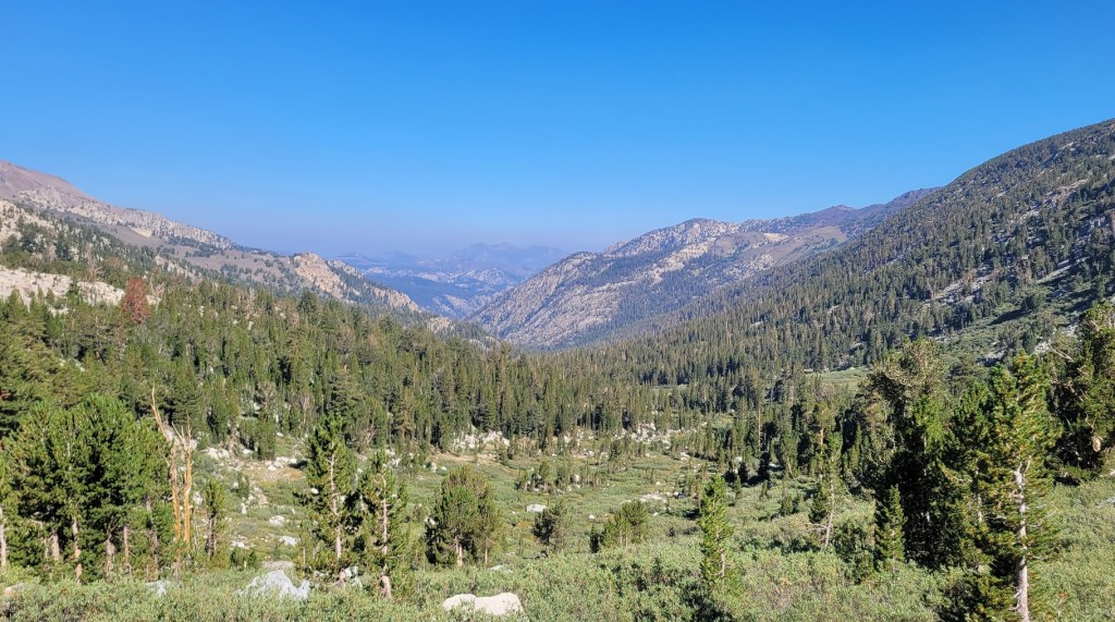
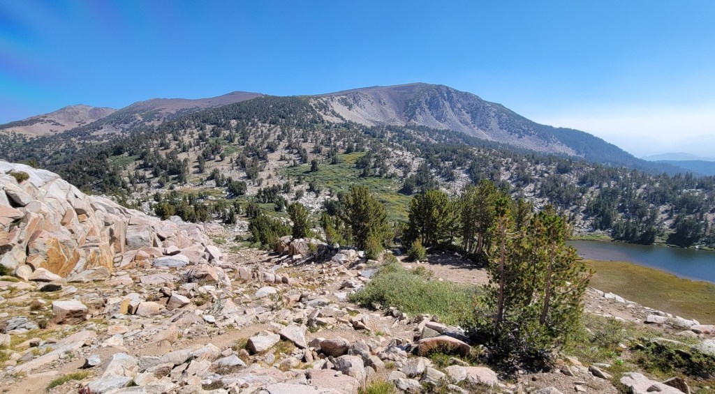
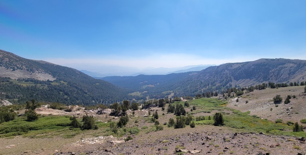
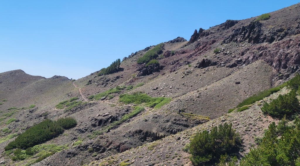
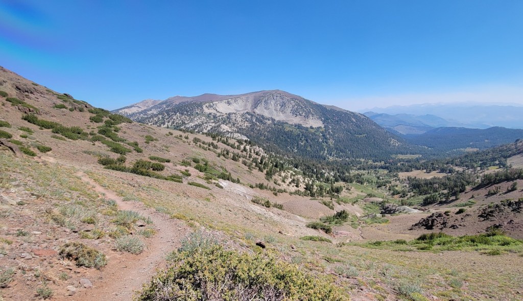
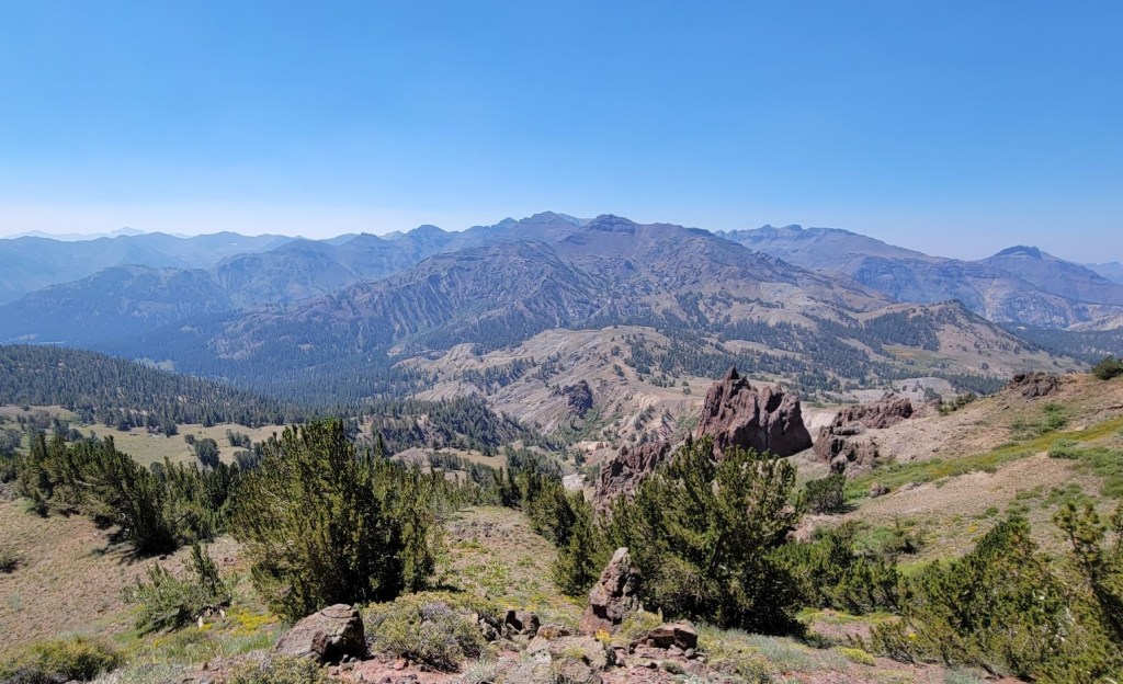
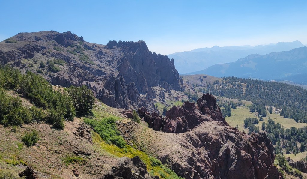
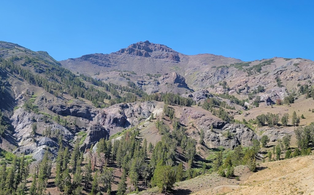
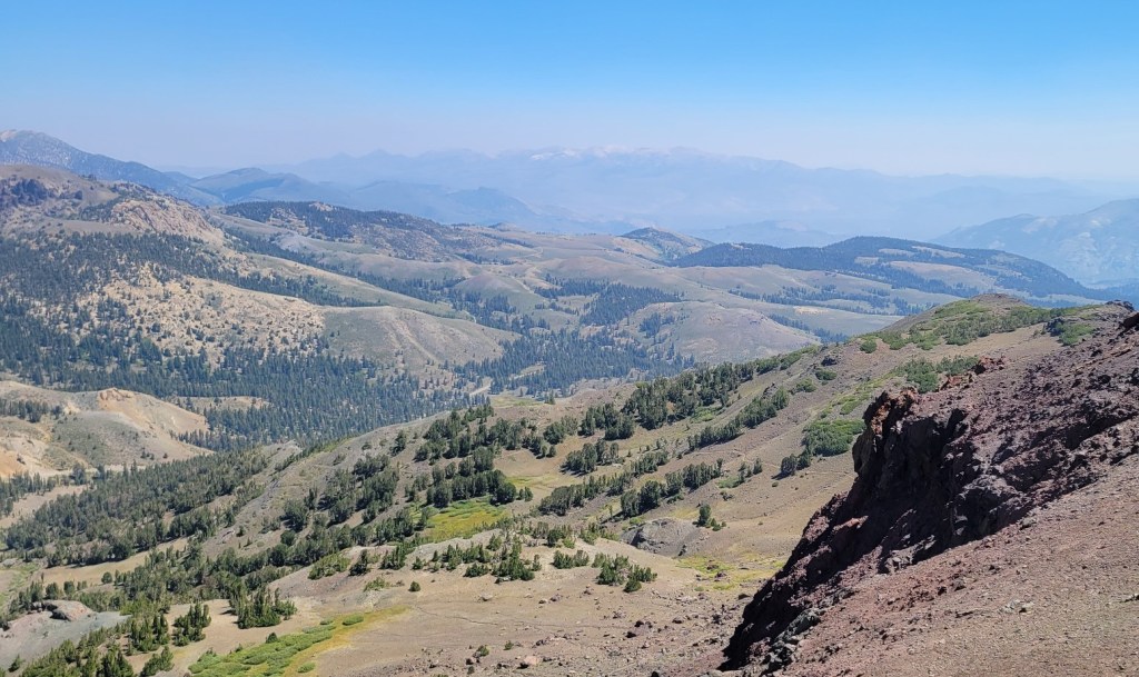
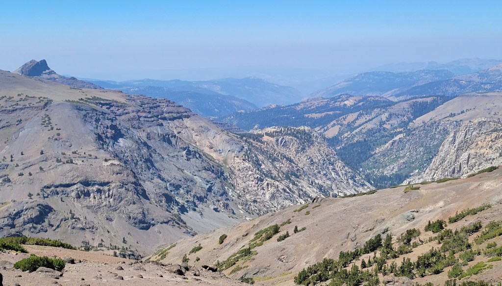
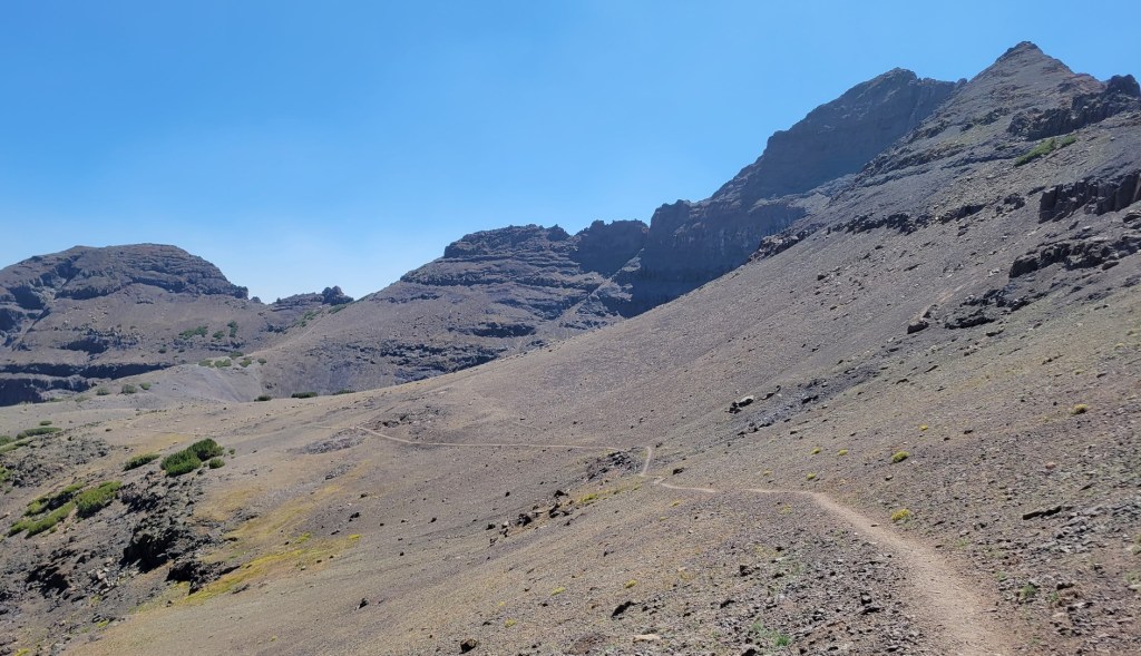
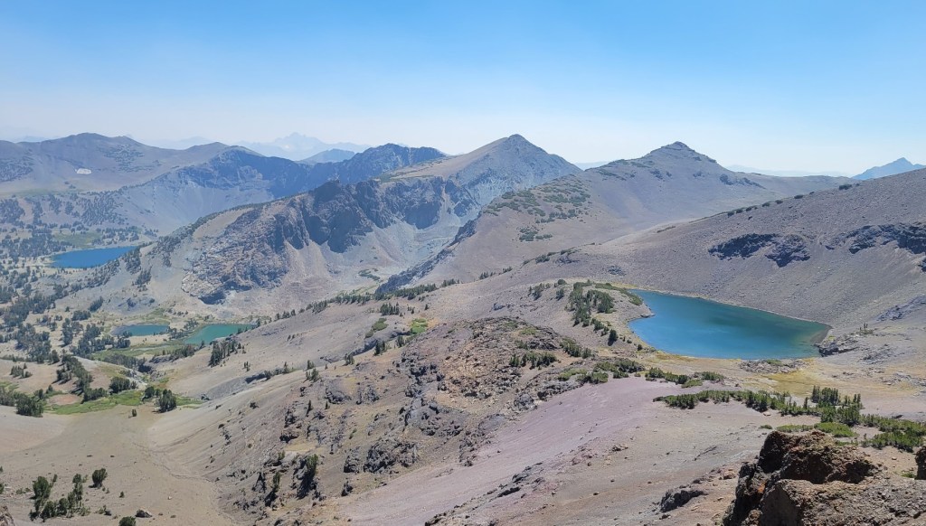
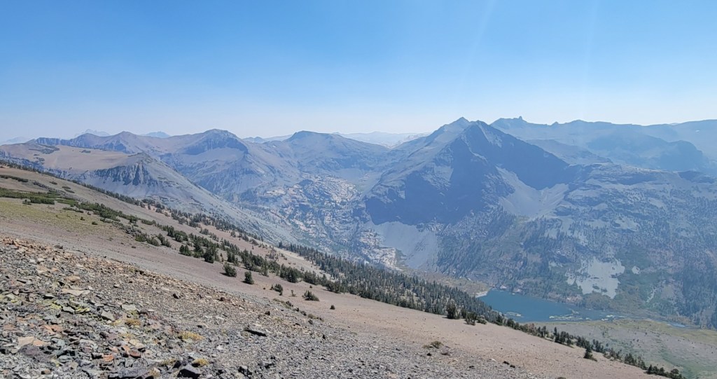
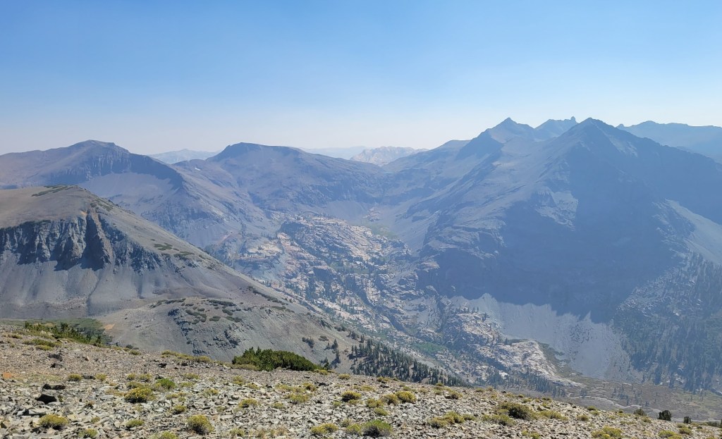
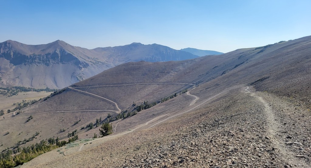
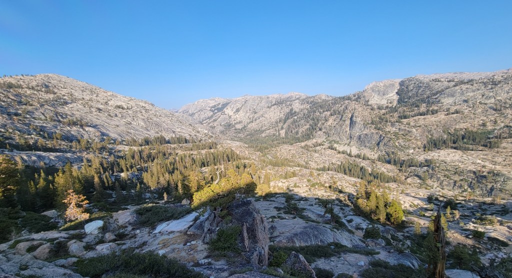
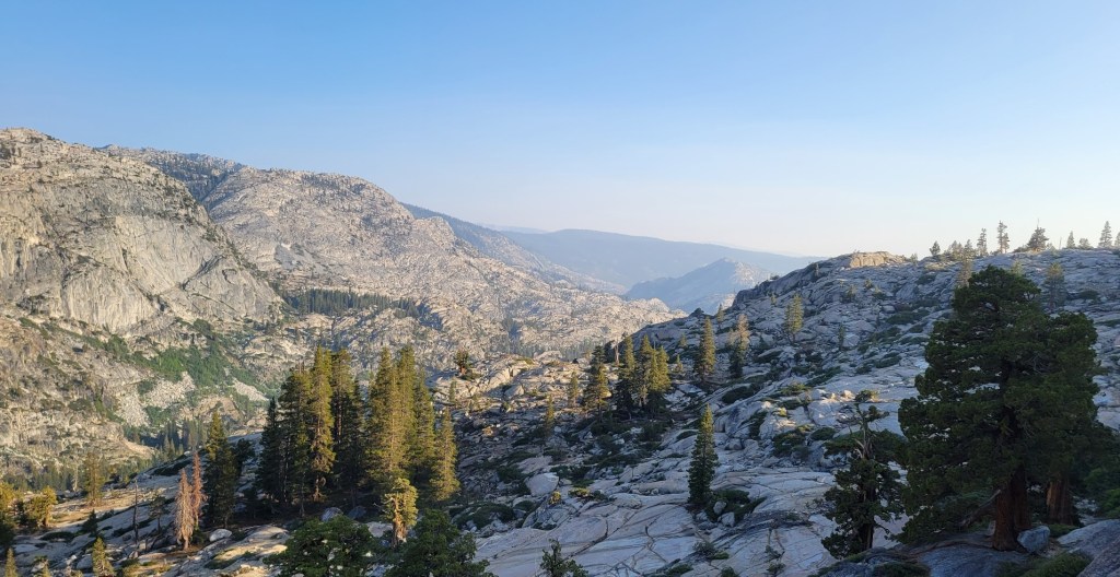
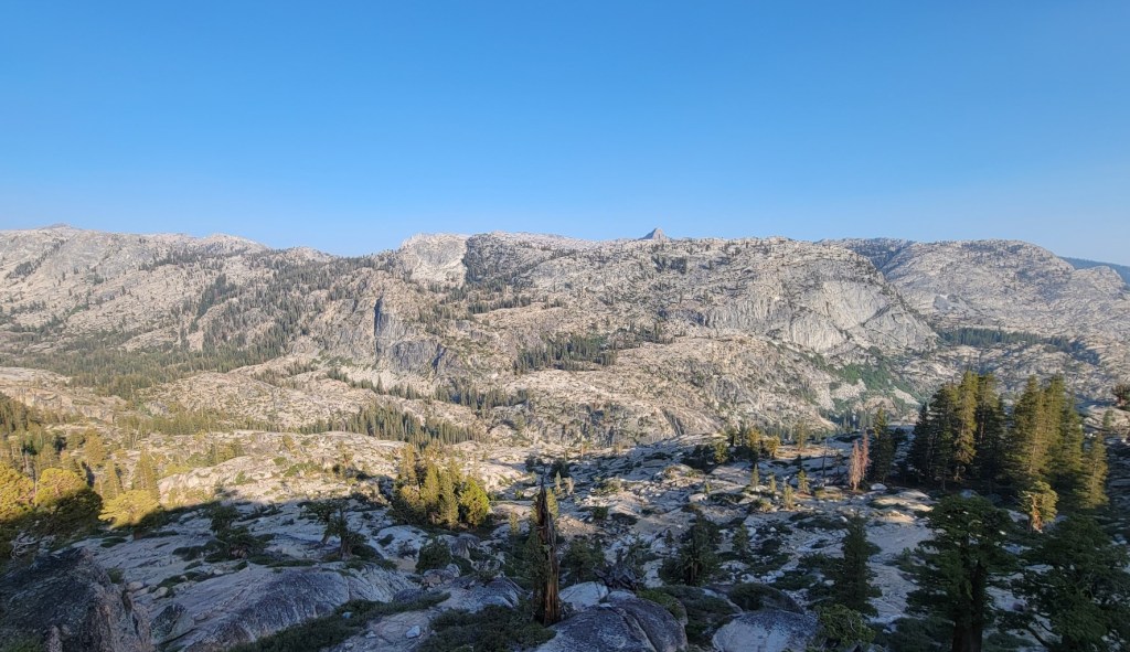
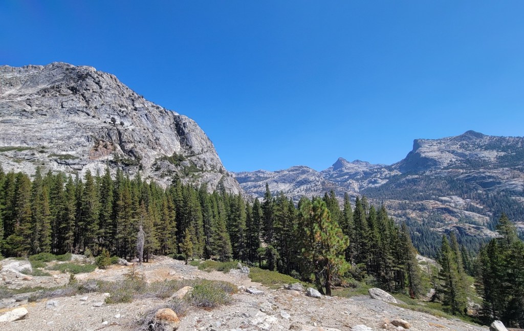
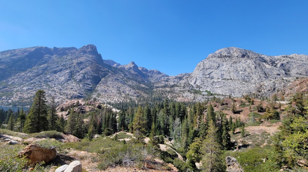
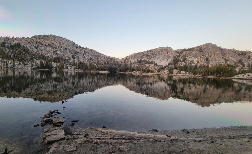
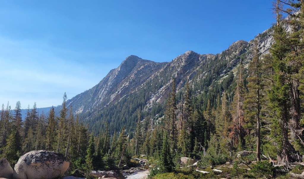
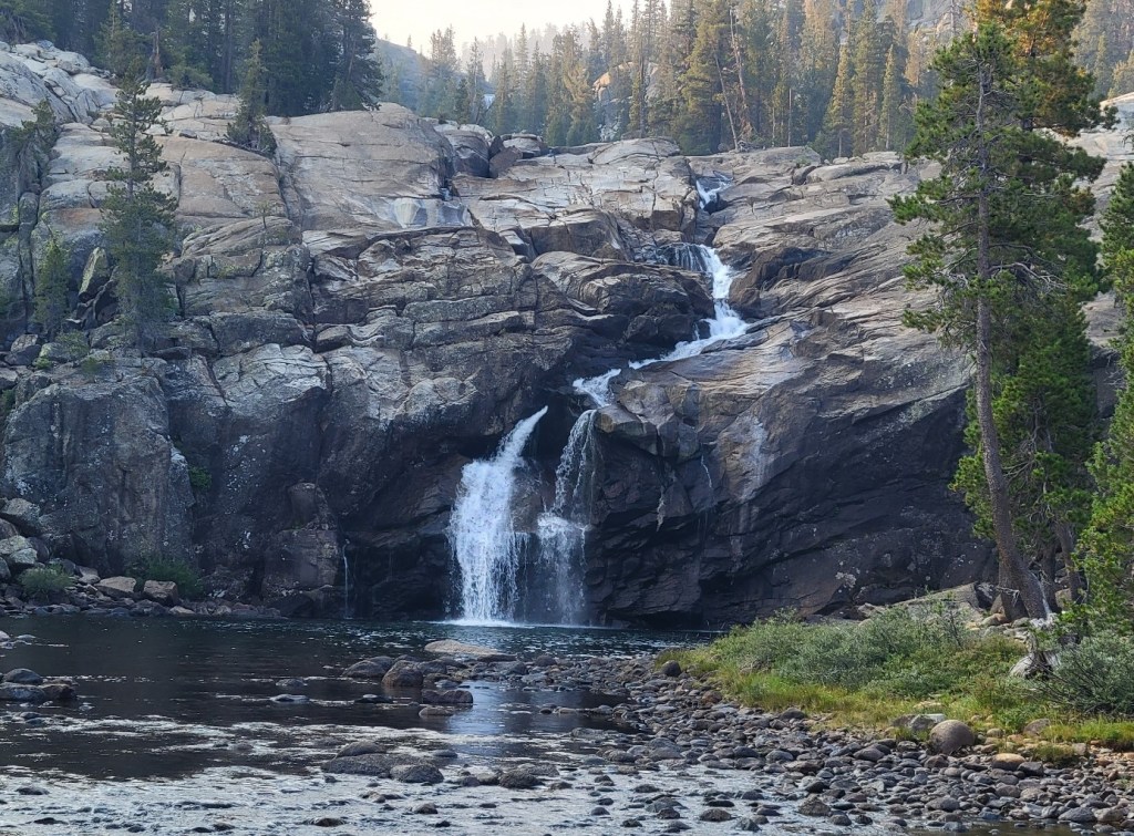
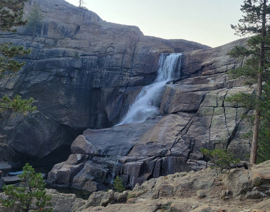
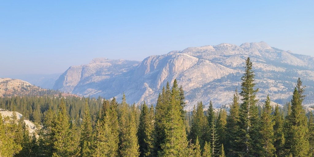
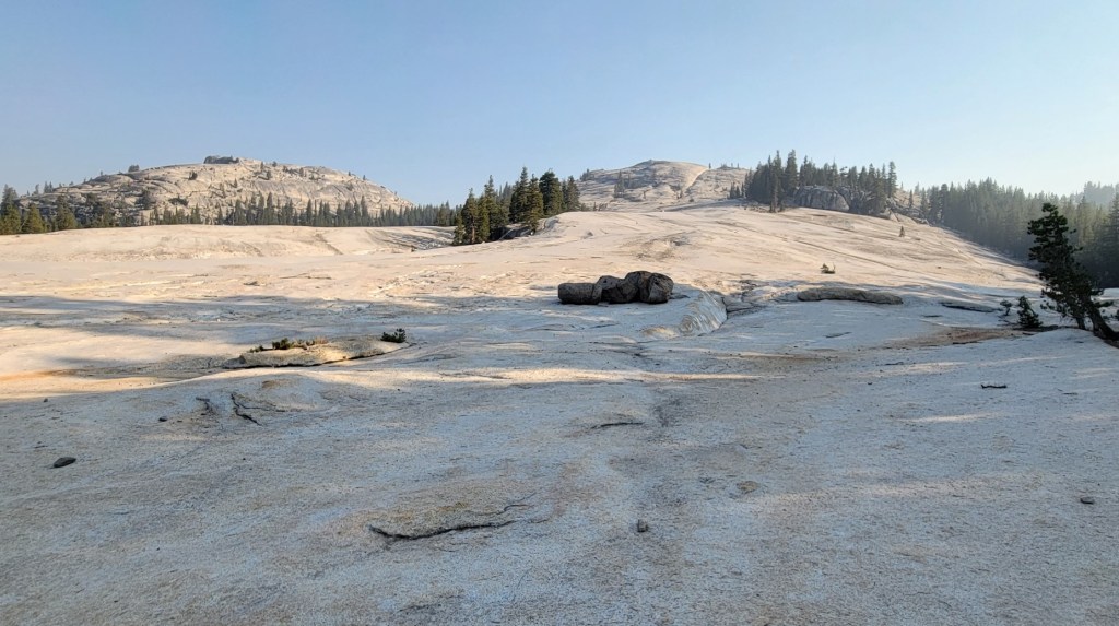
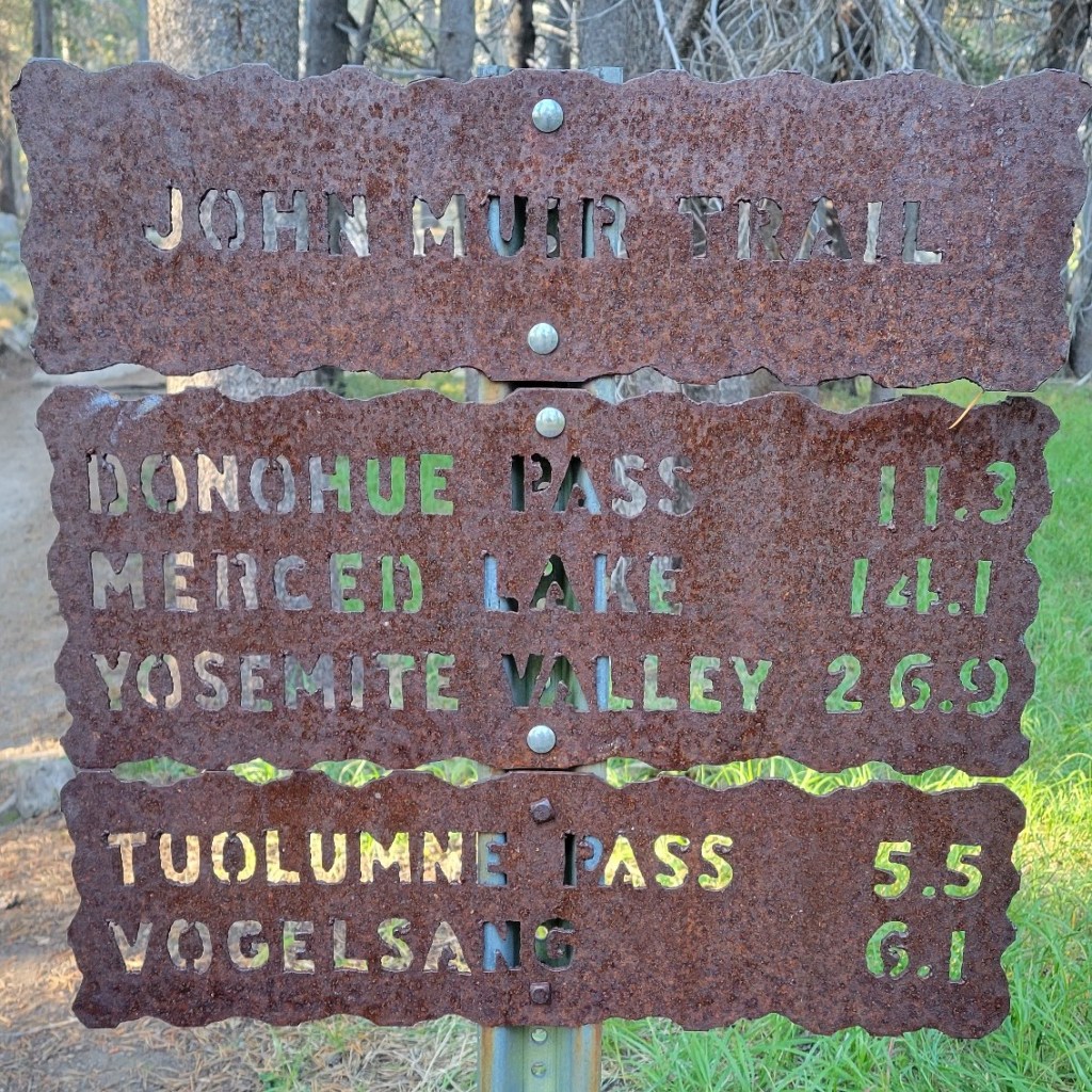
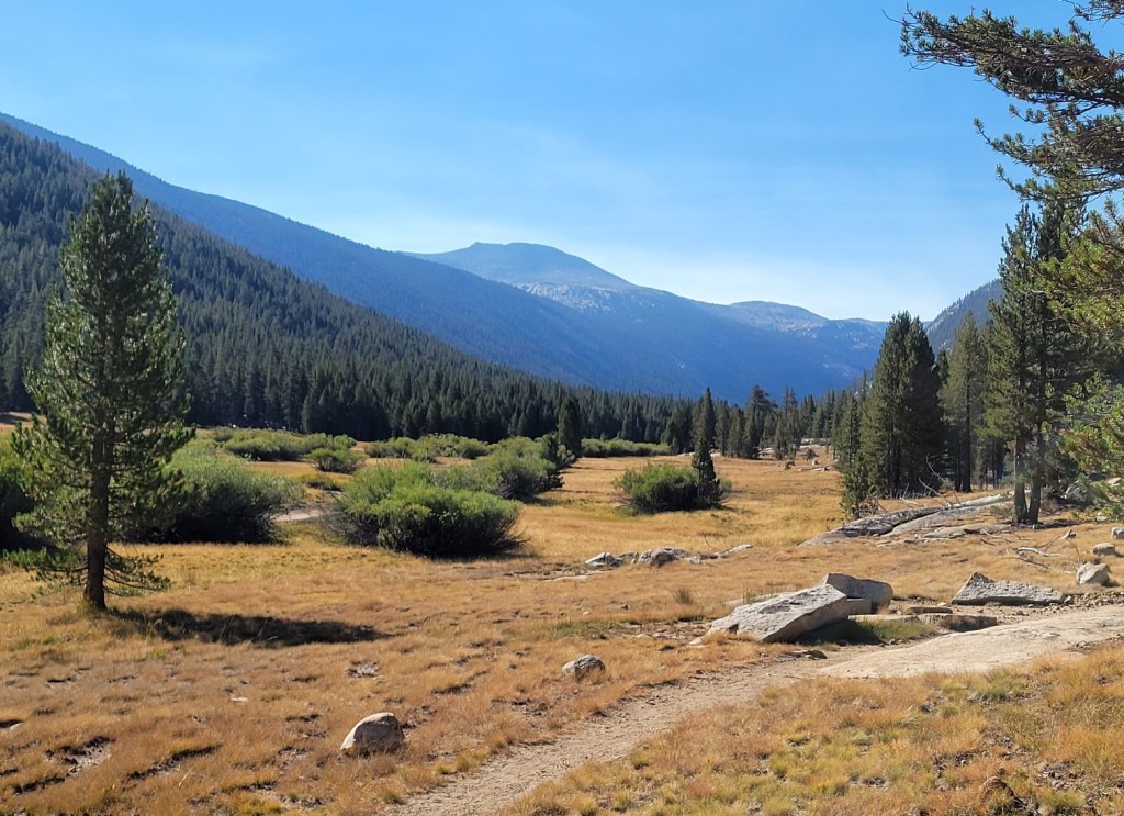
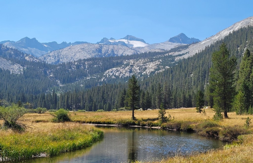
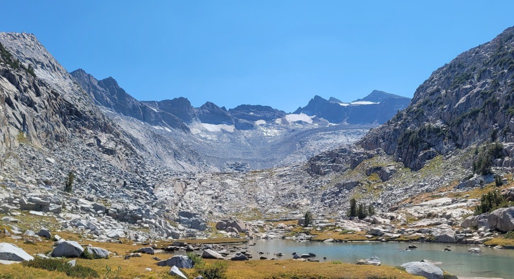
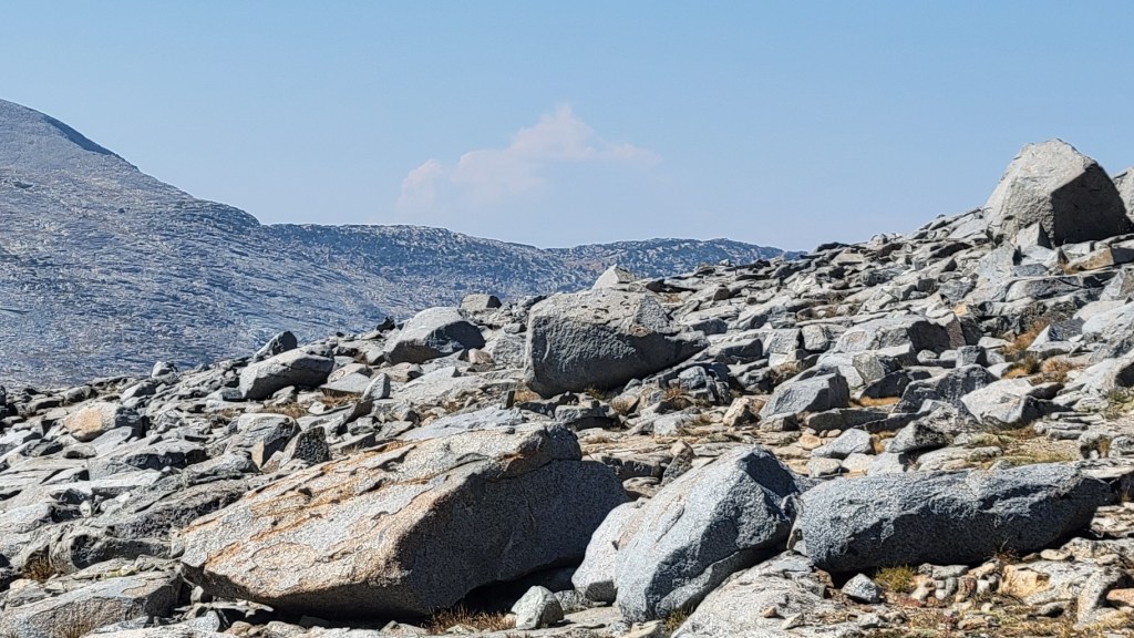
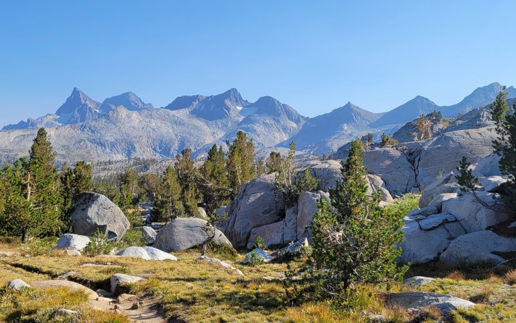
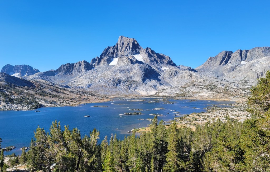
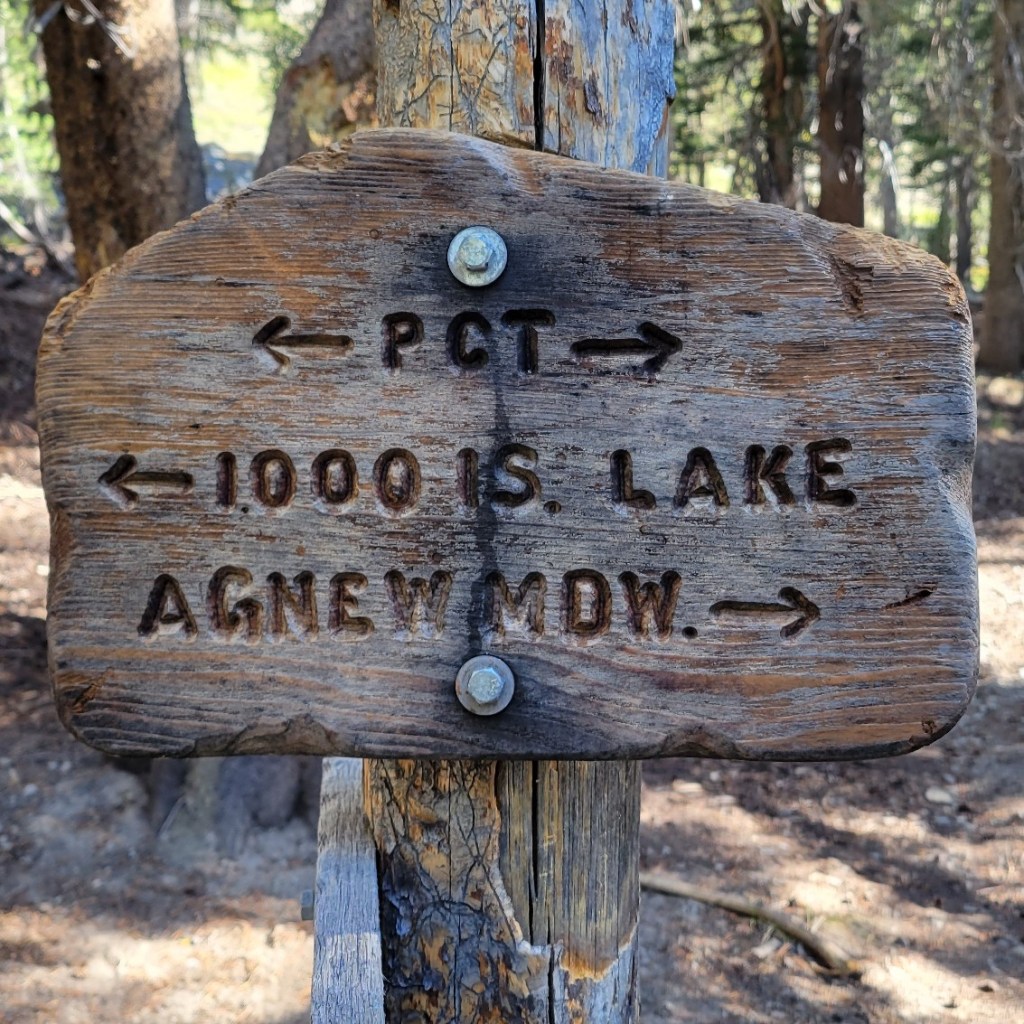
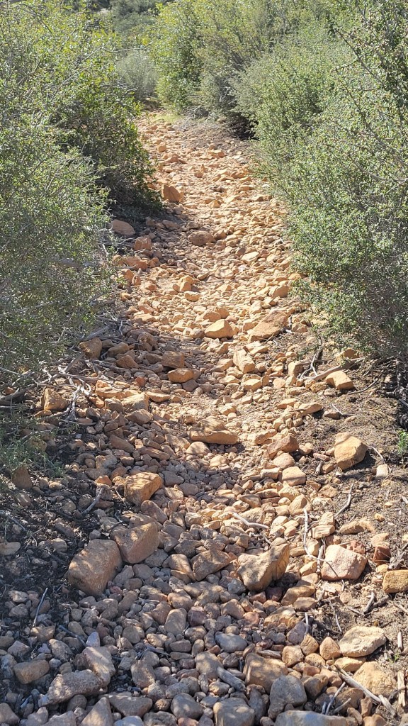
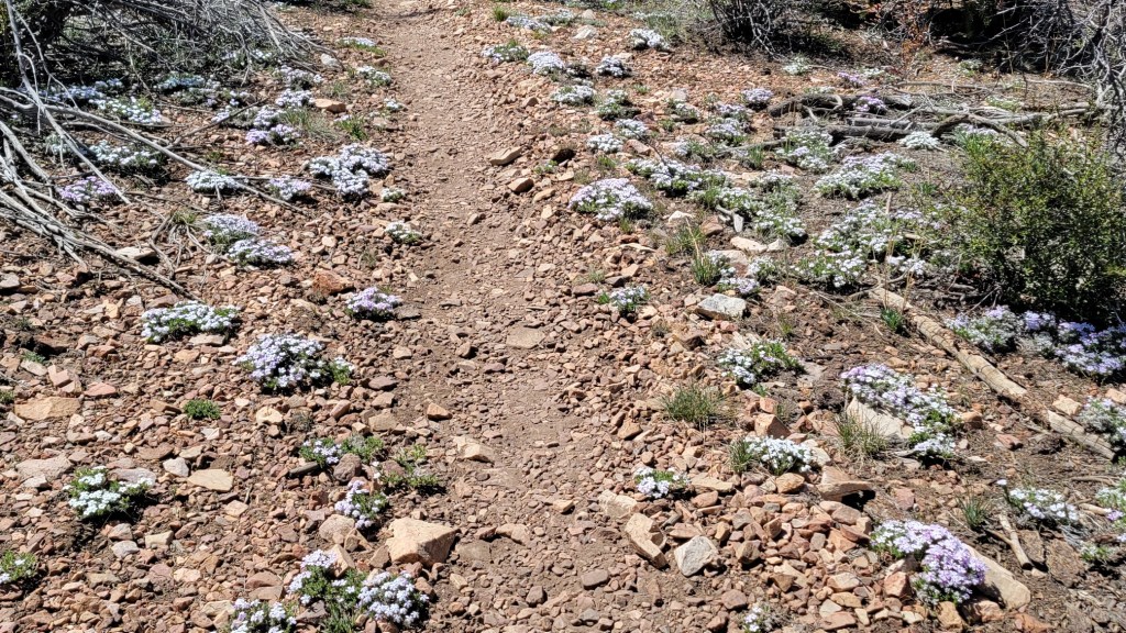
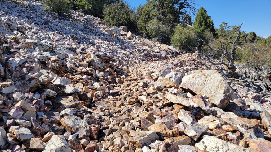
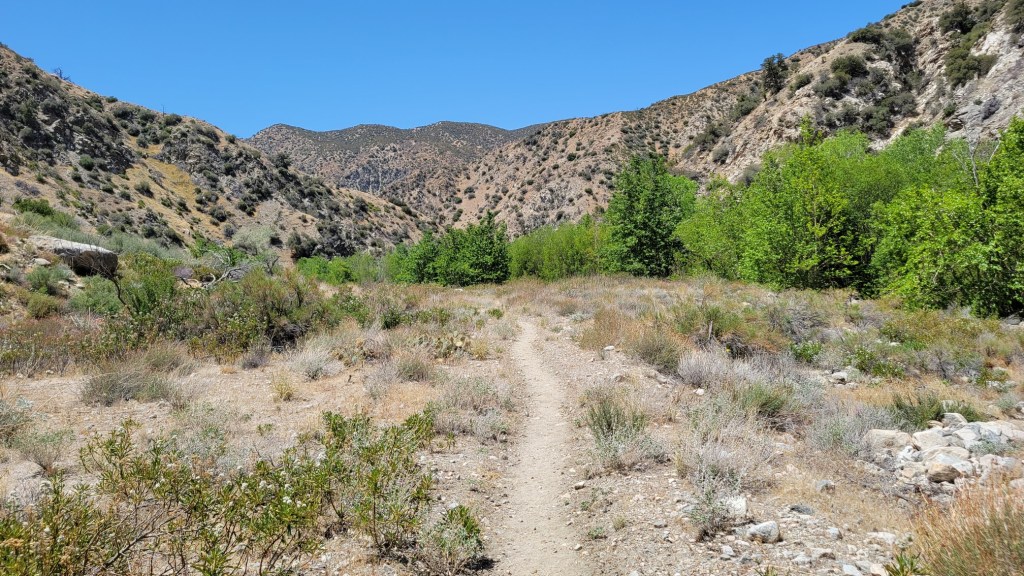
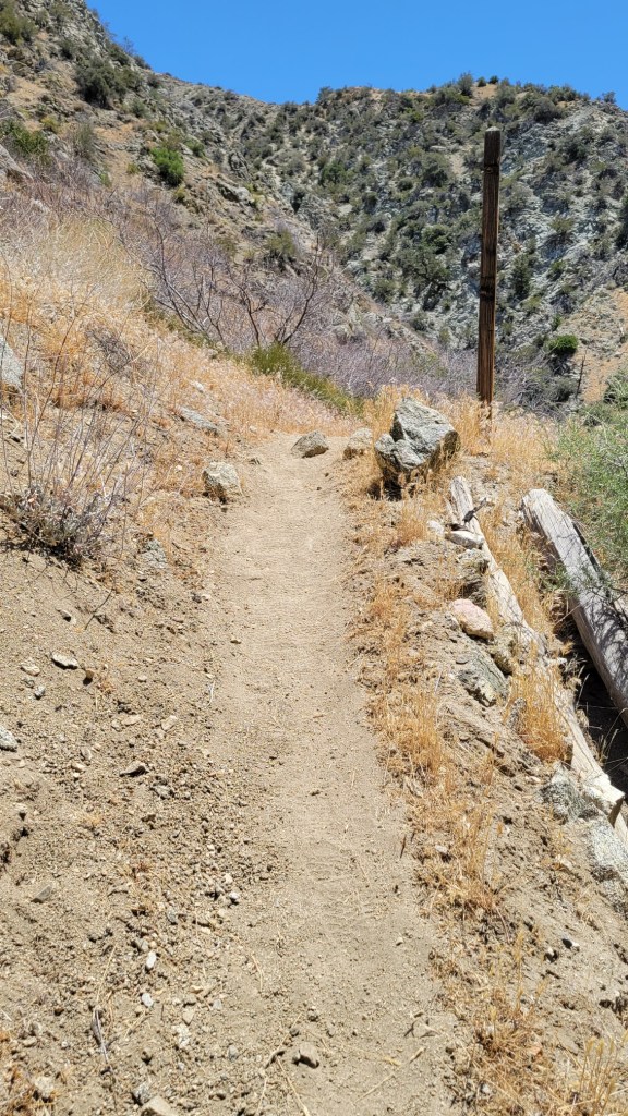
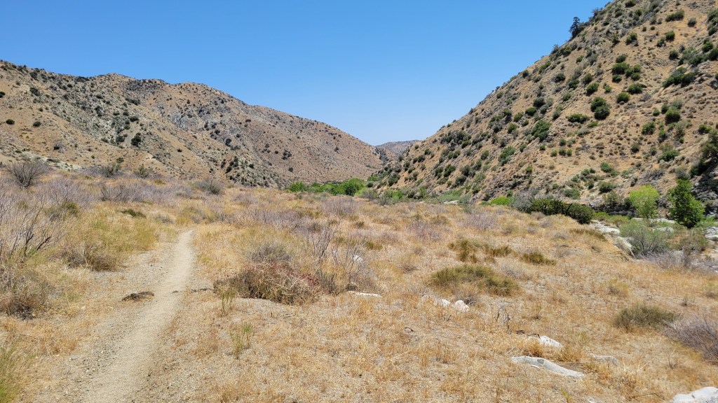
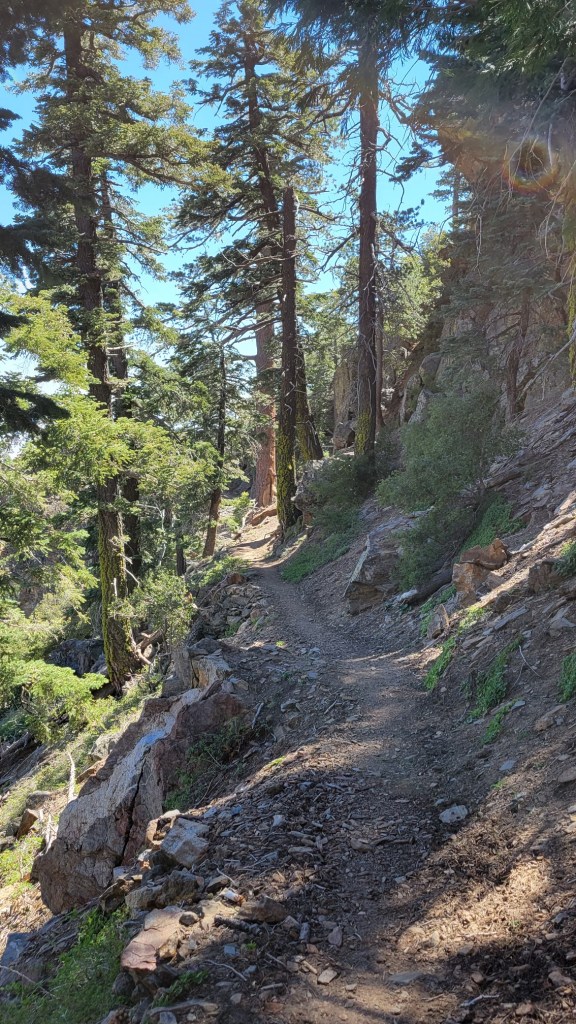
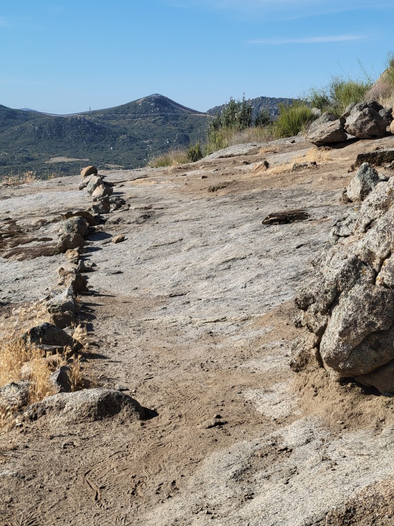
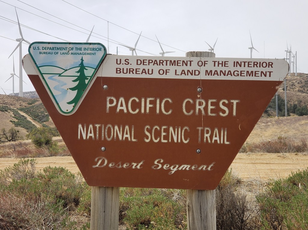
Wildfire is the new norm on the PCT. Fire interrupted my hike four times last year and one time this year. I walked through miles of fire-scarred country in both years. Here are photos which show that.