c) Andrew Carter, 2021
I’ve previously posted video footage of a 360-degree view from the heart of the decimated 2020 Lake Fire burn zone near Lake Hughes. I’ve also posted several photos from the edge of that fire zone, including one of where I camped one night.
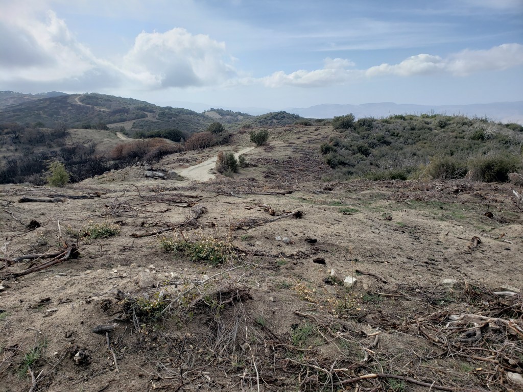
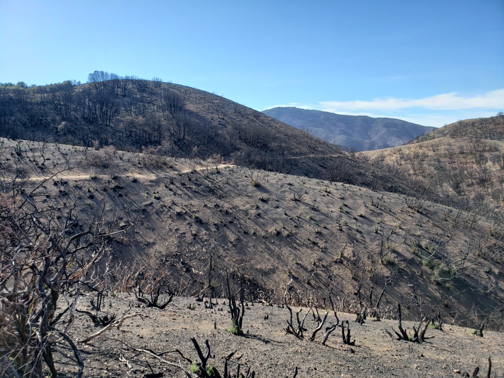
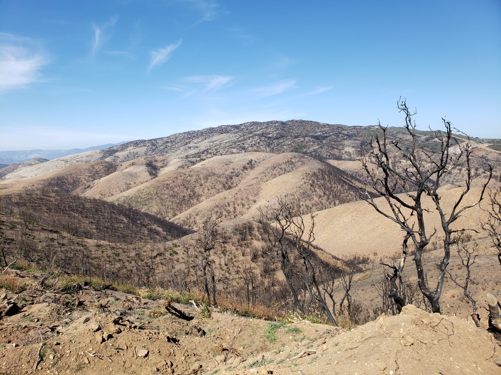
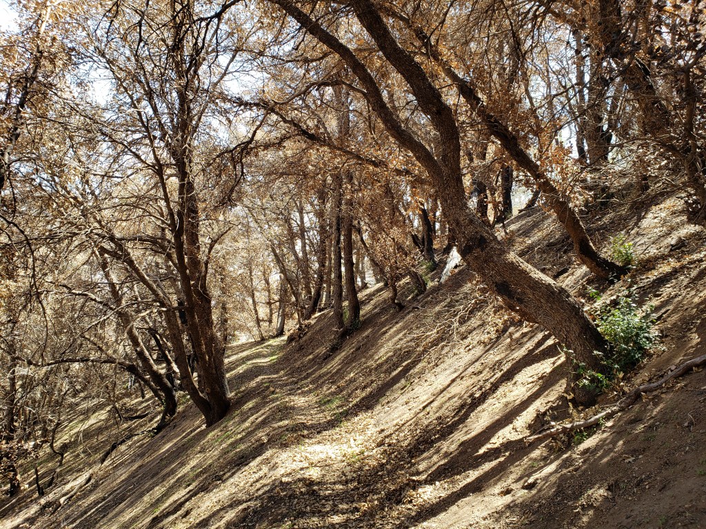
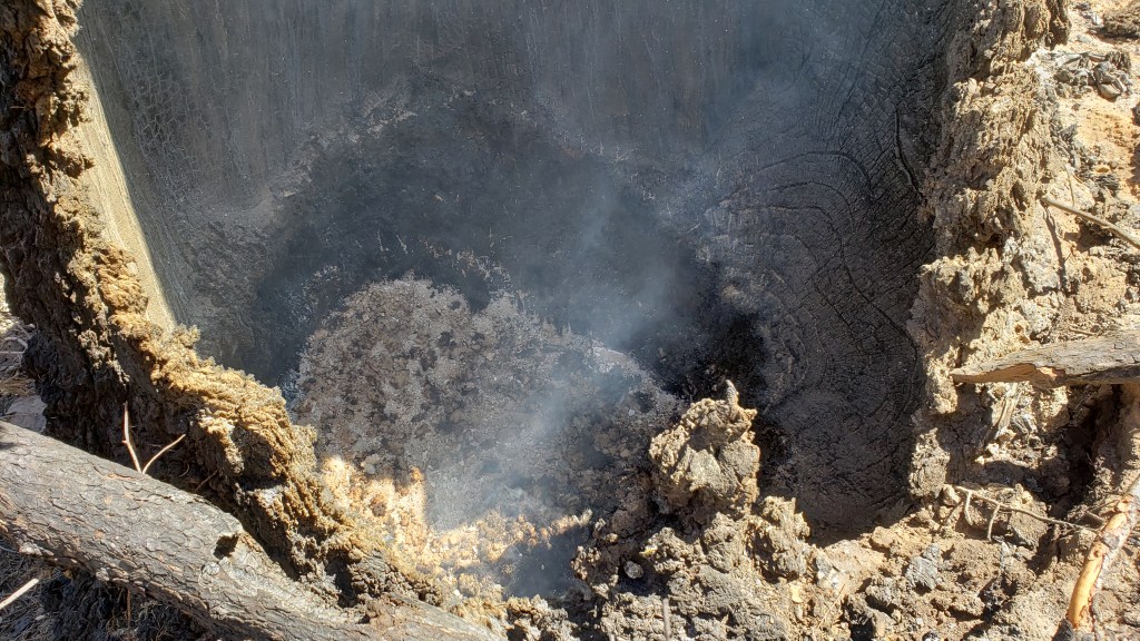
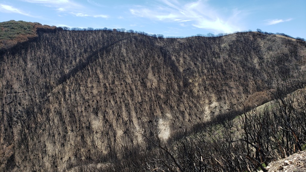
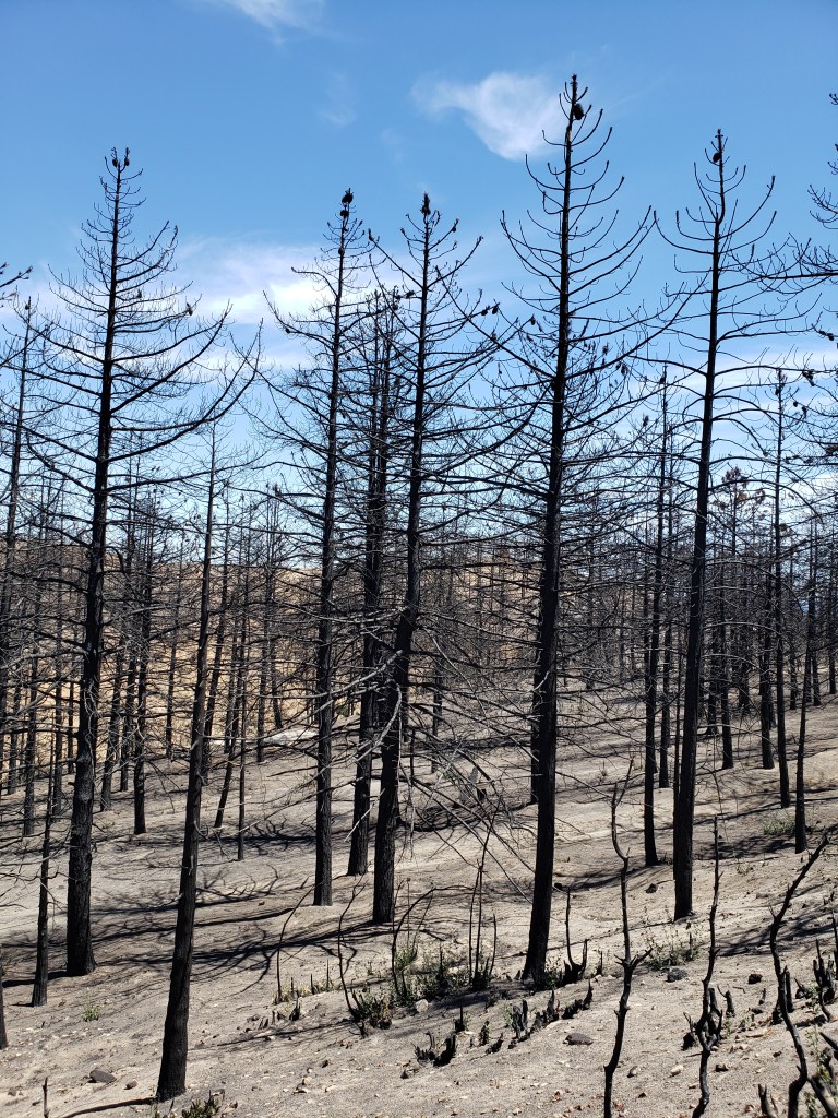
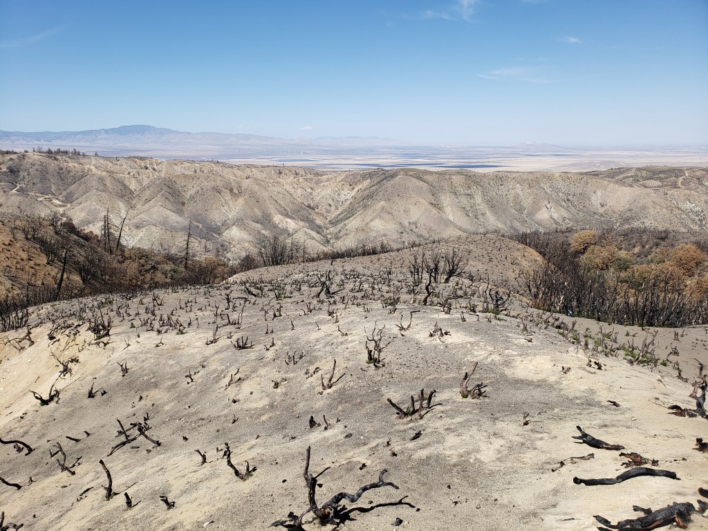
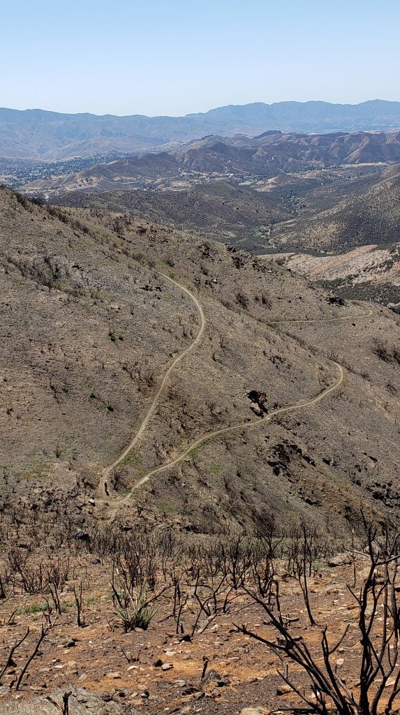
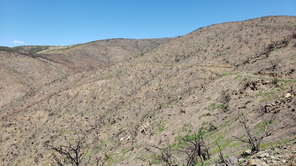
Here are more photos of burn zones from the 2020 Lake Fire, the 2020 Bobcat Fire farther south in the Angeles National Forest, and from wildfires which took place in previous years.
Fire is a fact of life in southern California. With climate change, it is only getting worse. Wildfire hits every year in multiple places along the PCT, including farther north in Oregon and even sometimes in Washington. That means that each year, there is inevitably some part of the trail which is closed due to fire.
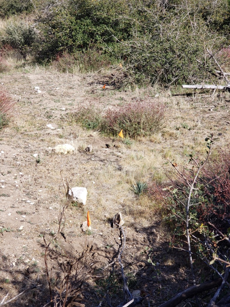
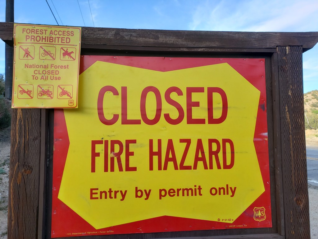
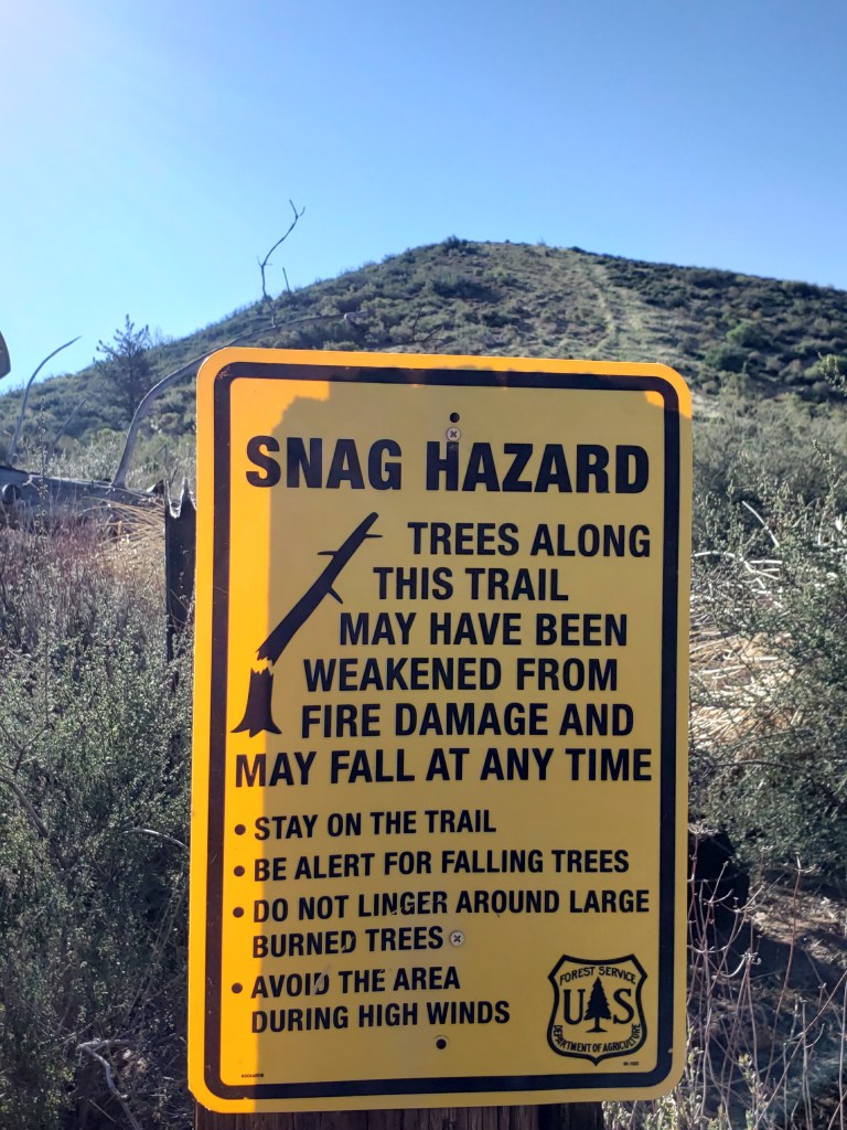
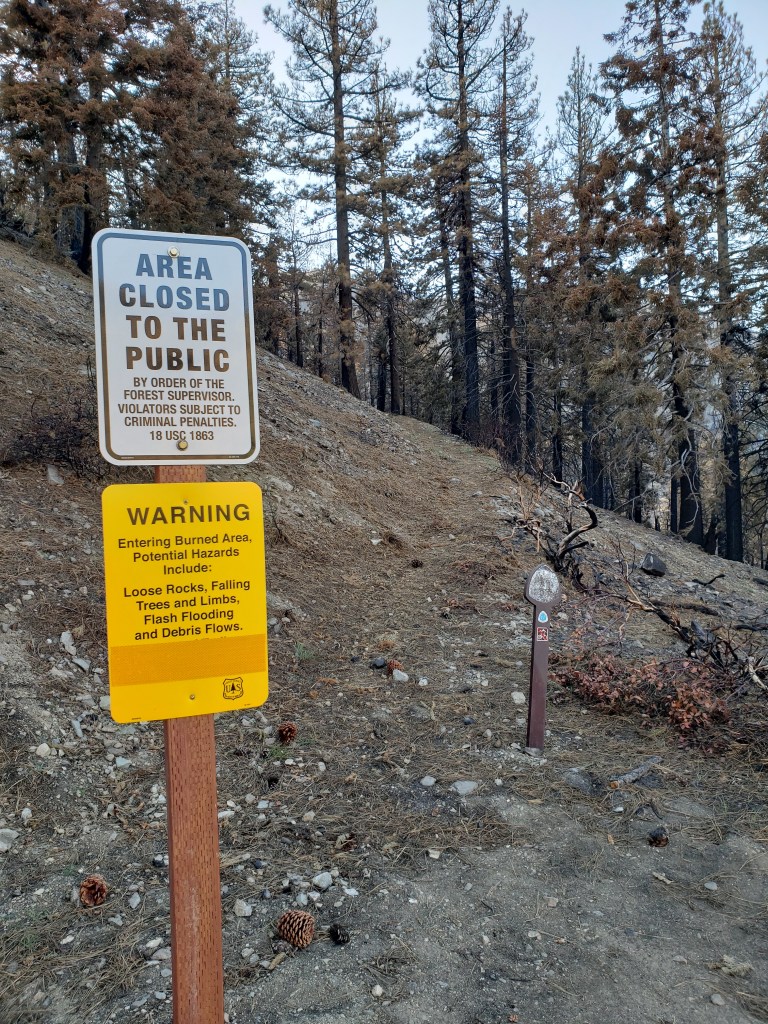
I hiked through the Lake Fire burn zone even though it was actually closed. I didn’t know it was closed, however, because there was no signage for southbound hikers. Just signage at the southern border of the zone for northbound hikers. (See sign below.)
I knew the Bobcat Fire burn zone was closed so I road-walked for 20 miles on the Angeles Crest Highway to get around it.
At the moment, there is one other burn zone which is currently closed. It’s in Oregon, near Mt. Jefferson. That burn zone is currently scheduled to open up before I get there, but sometimes closure orders are extended. If it doesn’t open, I will be in a pickle getting around it because it is in a very remote area.
I’ve got my fingers crossed that there will be no new fires this year which close part of the PCT. Here’s hoping.


Interesting photos. Makes the devastation I’ve heard about on the nightly news here on the East Coast more real.
LikeLike
It takes living in California where it absolutely does not rain between April and September and often doesn’t rain in March and October either to understand drought. And now with global warming, the fire season is almost year round.
LikeLike