c) Andrew Carter, 2021
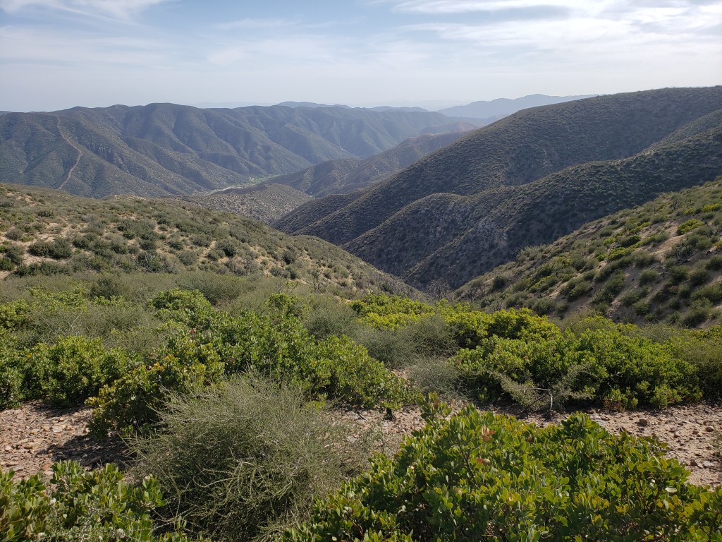
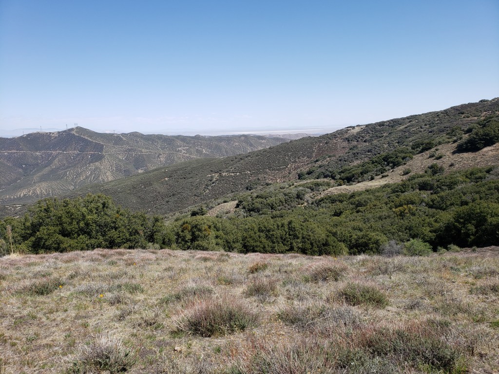
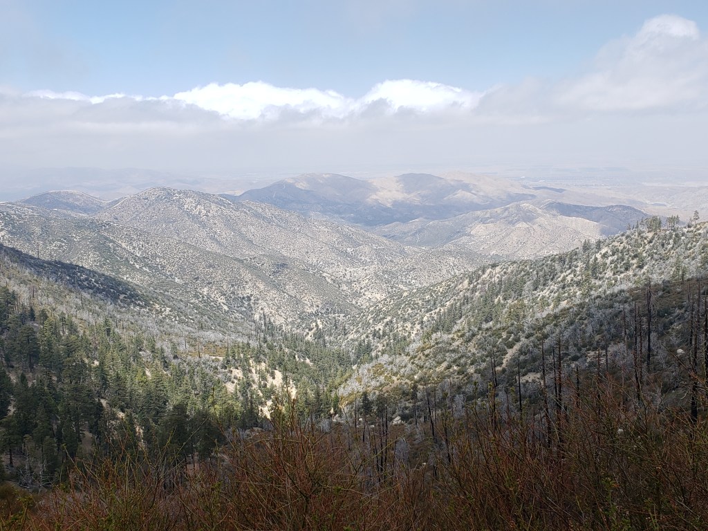
After I passed through the Lake Fire burn zone, I had to cross from one mountain range to another. The northern range is the Sierra Palona. The southern range is the San Gabriel. The San Gabriel is the range which serves as the backdrop to downtown Los Angeles when looking from the ocean. In between the Sierra Palona and the San Gabriel are two canyons — Escondido Canyon and Soledad Canyon. The Antelope Freeway uses Escondido Canyon to get from Santa Clarita to Palmdale. The Santa Clara River flows through Soledad Canyon. The climb out of Soledad Canyon to the crest of the San Gabriel was a beast — 4000 feet of altitude gain over 14 trail miles.


No “campfires” allowed?
LikeLike
Slowly but surely, the western forests are moving to no campfires allowed year-round due to the risk of wildfire.
LikeLike
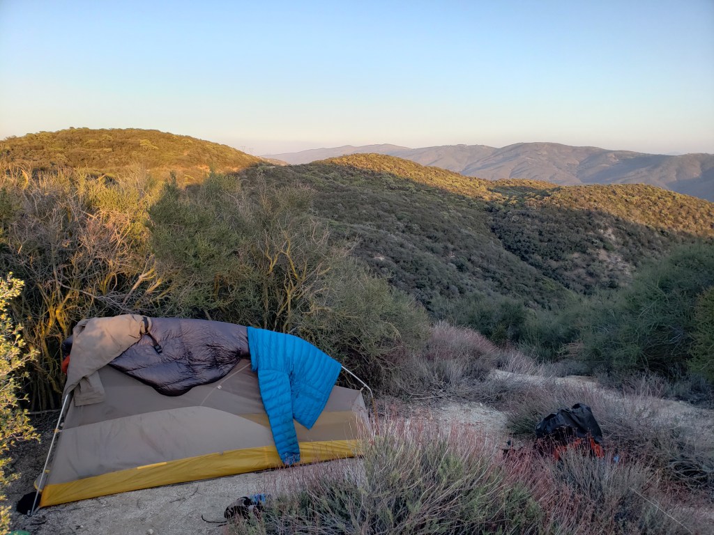
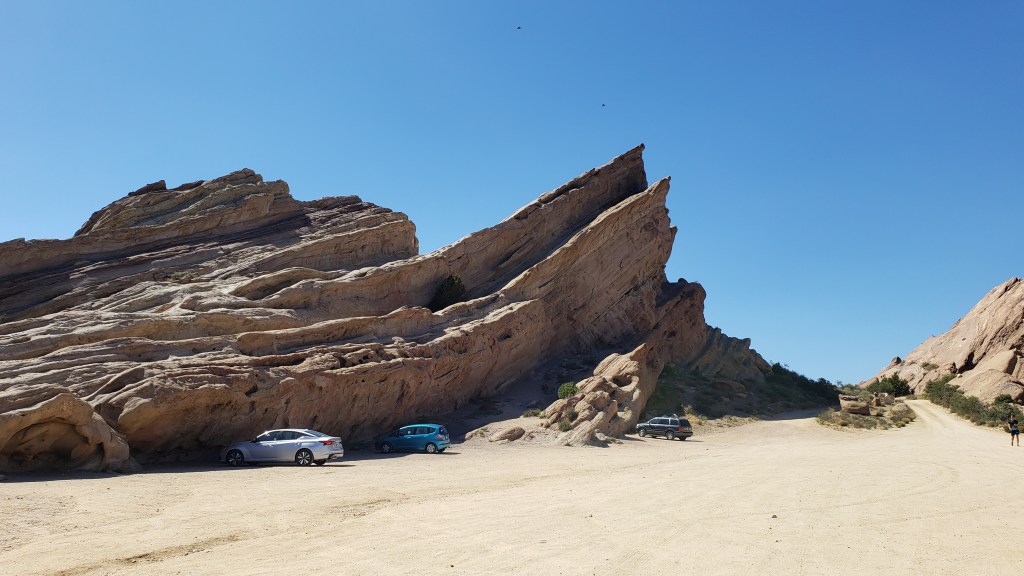
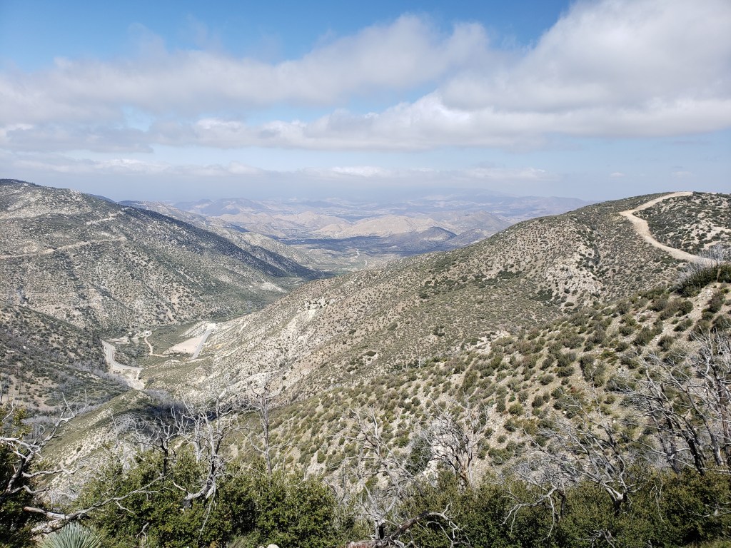
Love the last scenic photos. Gorgeous land.
LikeLike
Where will you be around May 6-9? Not too far from LA? I was thinking we could bring you some supplies, if you need them.
LikeLike
I’ll be passing near Big Bear. Thanks for the offer, but that’s a long way from LA. Also, my Culver City has recently taken care of me. Hope all is well.
LikeLike