c) Andrew Carter, 2021
Throughout my hike, I’ve been walking through the burn zones of wildfires that took place last year and in years past. As I reached far Northern California, however, I experienced active fires in progress. This has been unnerving, even though those fires have been east of the trail. I have begun to worry about encountering an active fire that will disrupt my hike because it is on or near the trail. What will I do? Will my life be at risk? Will I be able to escape if I need to? Definitely not fun things to think about.
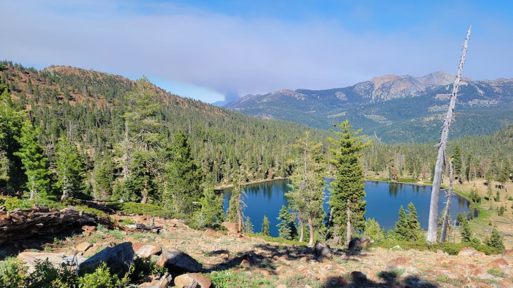
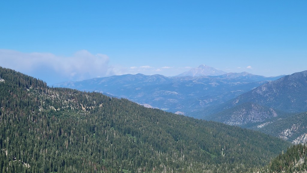
Here are pictures of the Lava Fire (near Weed, on the western slope of Mt. Shasta) and the Tennant Fire (northeast of Mt. Shasta).


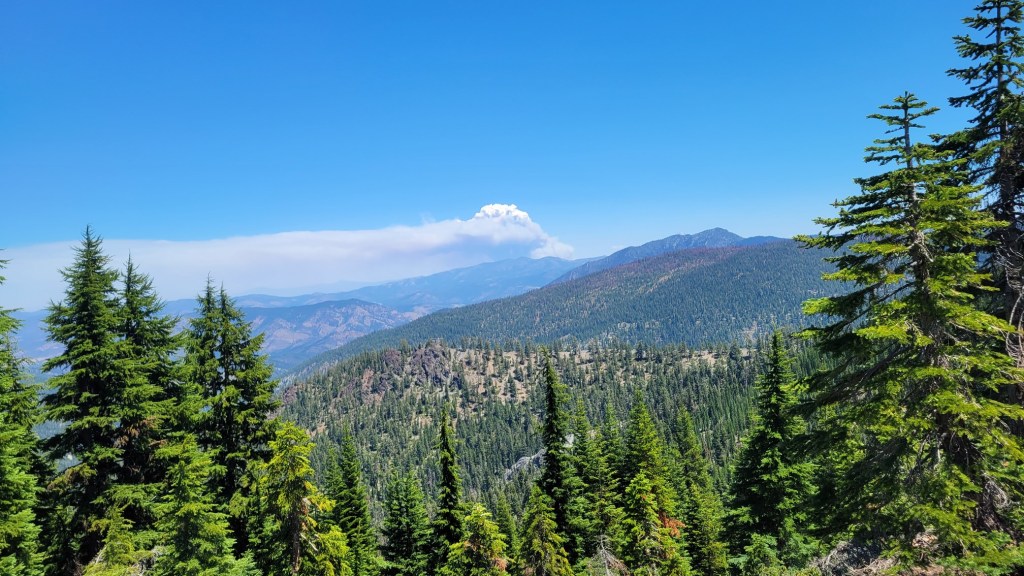

6/28, 4:21 pm
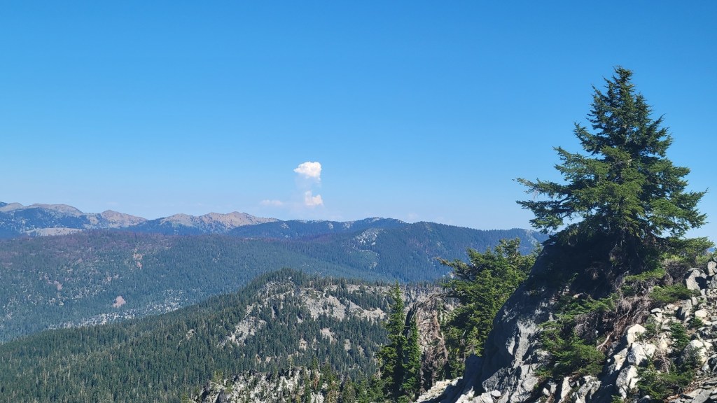
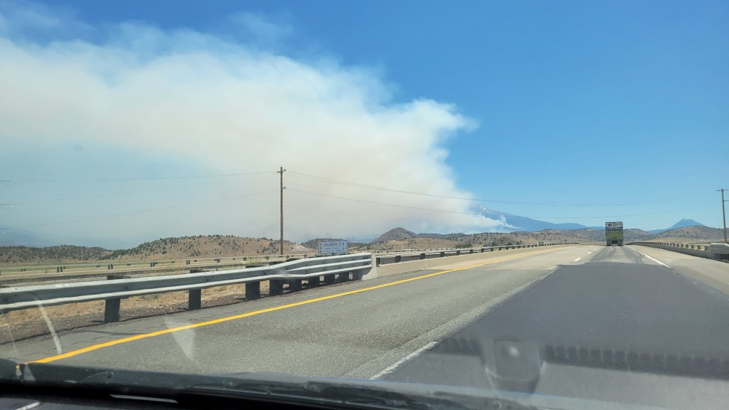
When I first saw the Weed Fire on 6/26, I didn’t know how close I was to it. I knew it was “over the ridge,” but how far over the ridge? Was it burning in my direction? If so, how fast was it moving? How fast could I move if I had to?
As a consequence, I decided to hike 6 extra miles that day (24 miles, my longest day yet) to put extra miles and two additional ridges between me and the fire and to also put me closer to a road should I need to use that road the next day to “bail” (that is, escape).
In the end, I was not at risk, although I wasn’t sure of that at the time, As I wrote above, unnerving. Then two days later, I saw another fire, the Tennant Fire. And since then, the Salt Fire has broken out on the shores of Shasta Lake between Redding and Weed, near the town of Lakehead.
Fire is now a part of the PCT hiking experience. It includes hiking through old fire zones, but it also includes the risk of active fires. 2021 is a drought year. It’s only early July. I worry about what lies in store for me and other hikers during the rest of the fire season.

Thanks for being careful and thoughtful about your risk.
Your loving sister is grateful!
LikeLike
It was only because I was thinking of you that I took care. 🙂 I was worried.
LikeLike