Here is the first dump of photos from the Sierra City to Mammoth portion of my 2021 PCT flip-flop. The blanket closure of National Forests in California forced me off the trail in Mammoth. I had completed 1730 miles of trail since April with 270 miles still to go in California and 650 miles in northern Oregon and Washington.
I’m hoping the California National Forests will open back up before October 1st. If so, I’ll be able to complete the remaining 270 miles in California (16 to 18 days) this year. Under any scenario, the 650 miles in Oregon and Washington (5 to 6 weeks) will have to wait until next year.
Happy trails.
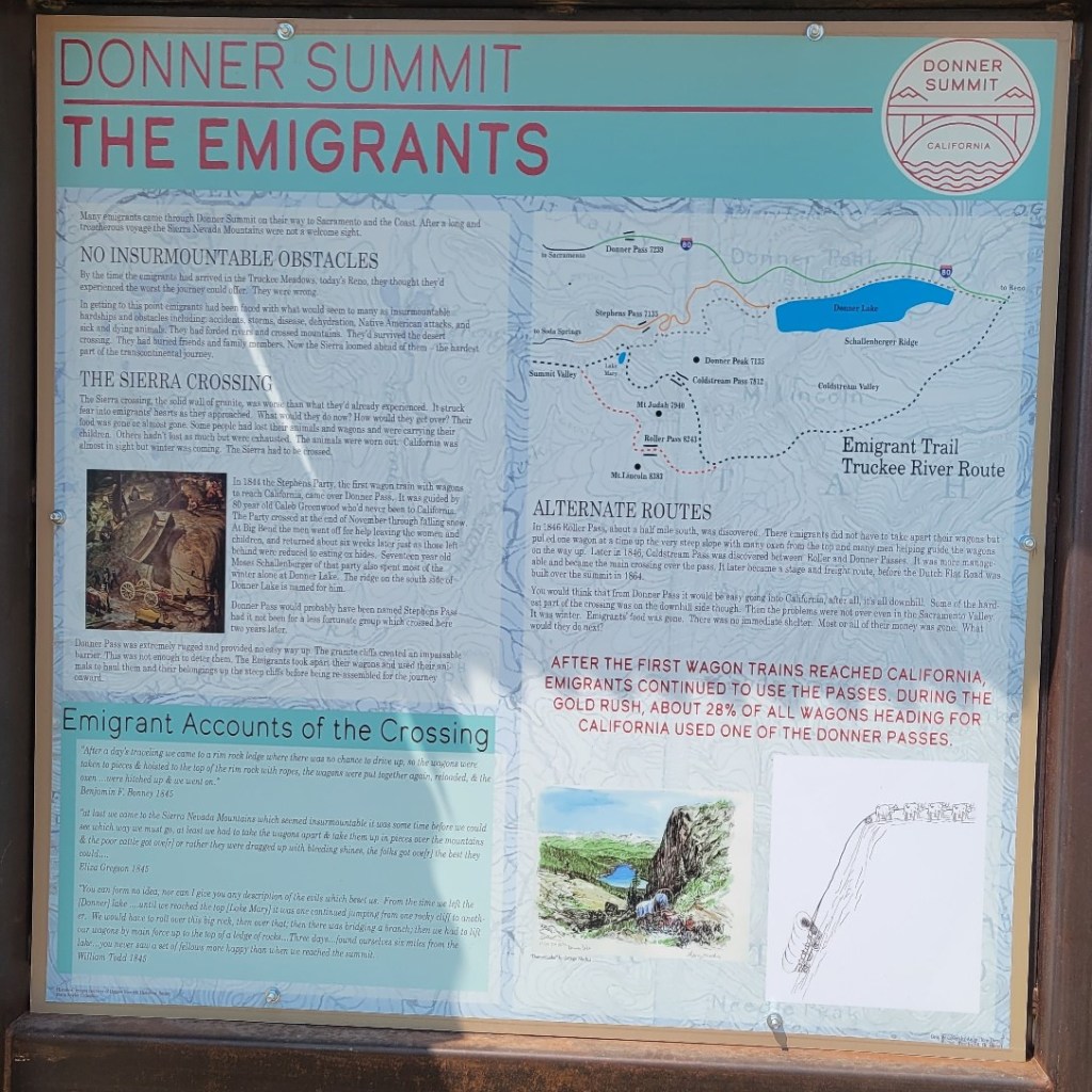
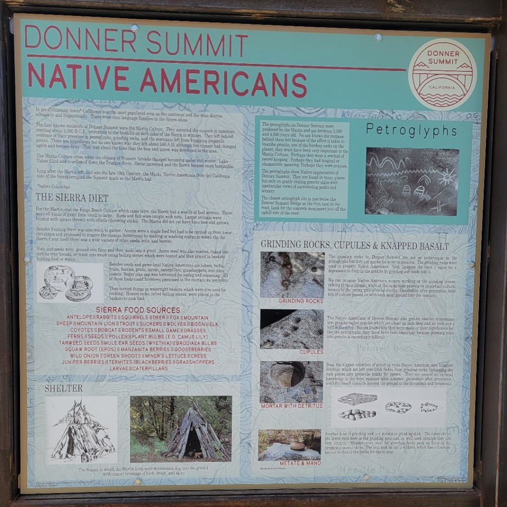
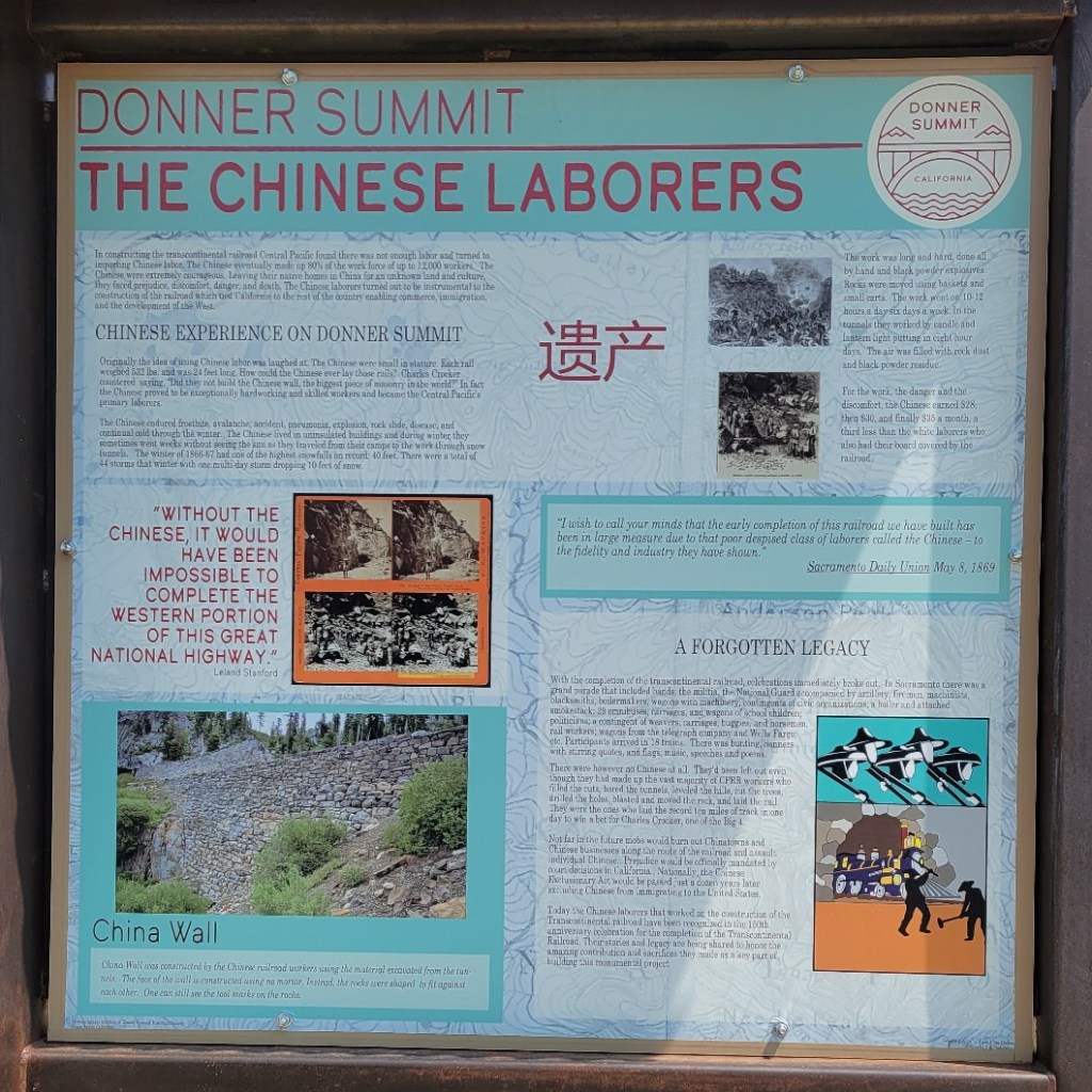
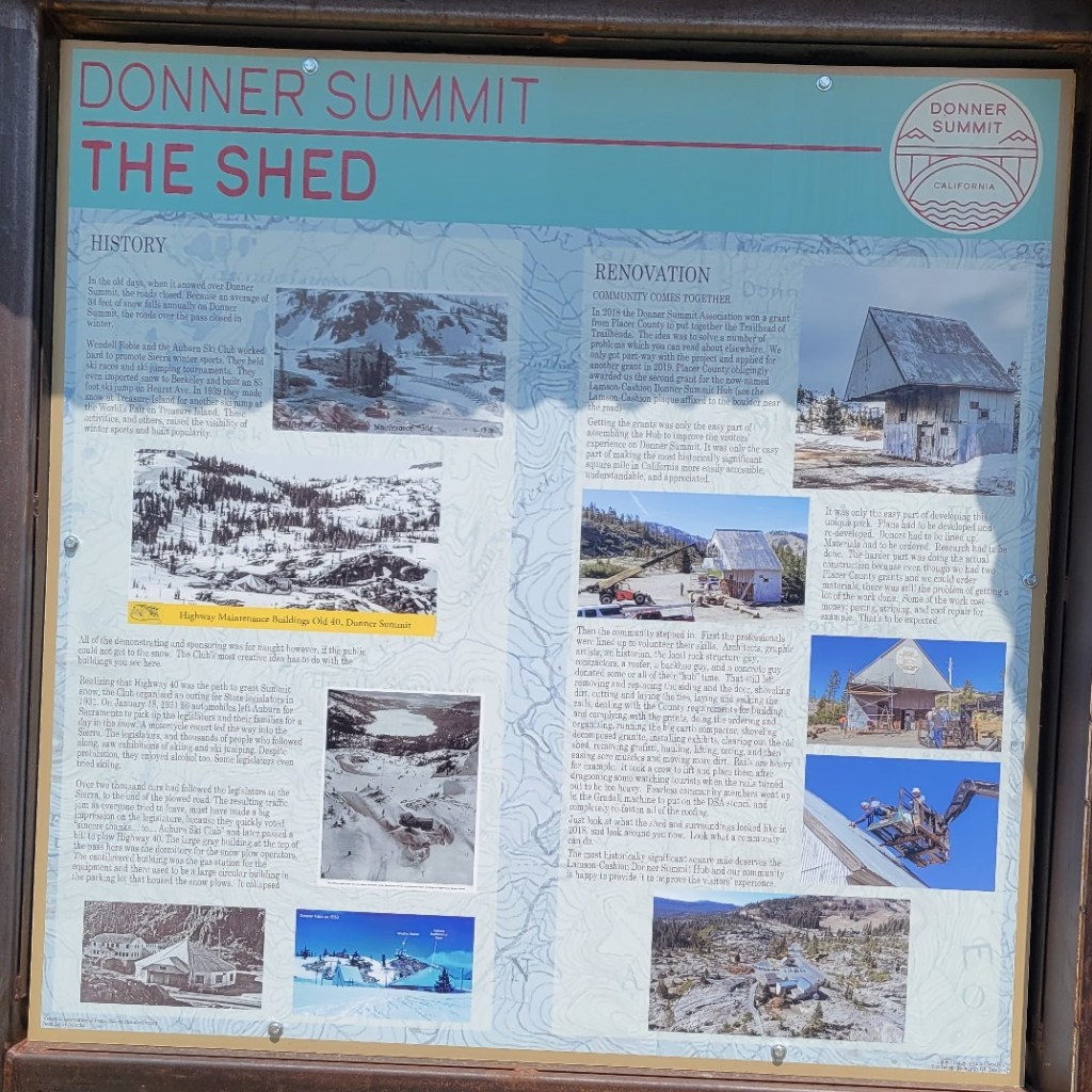
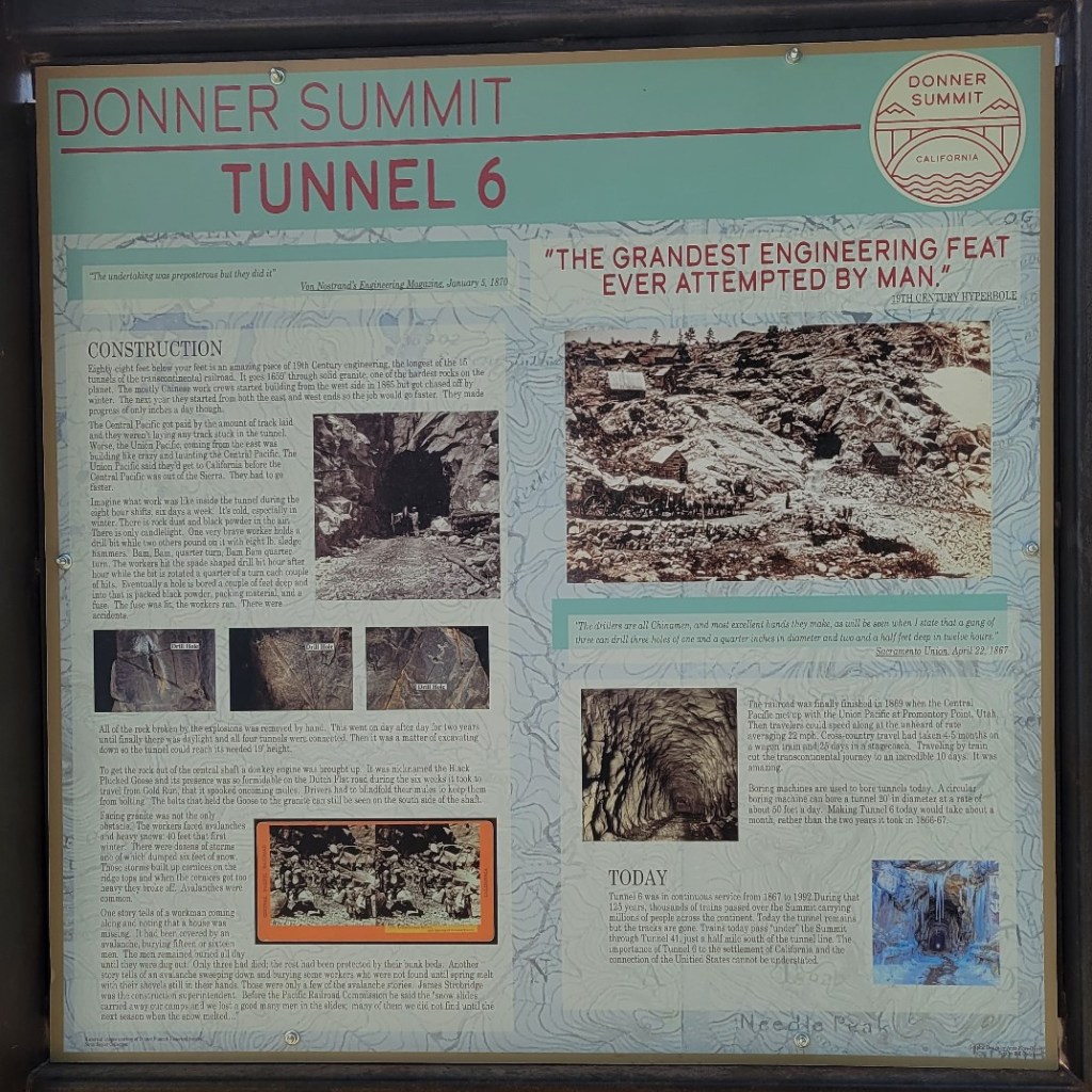
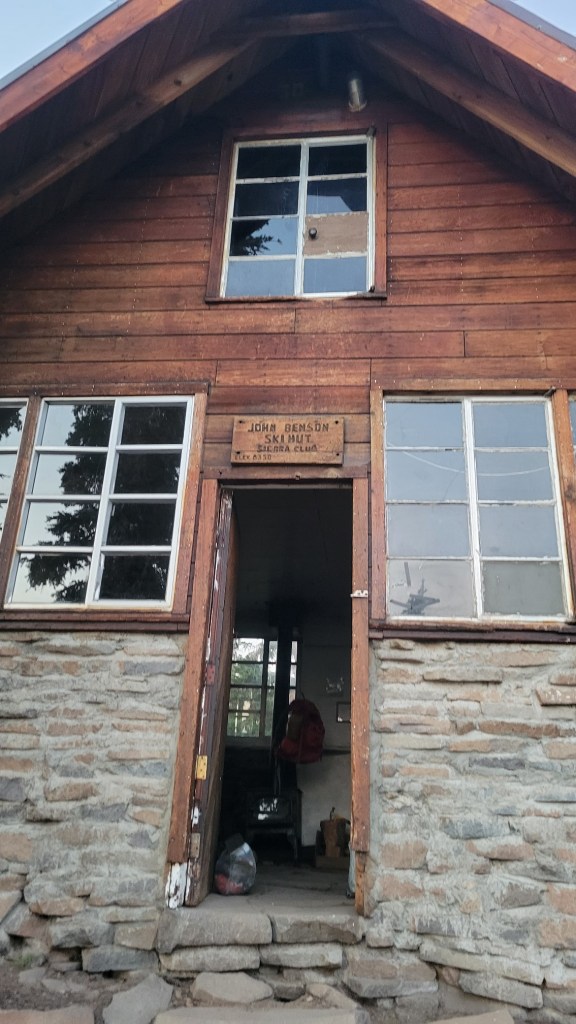
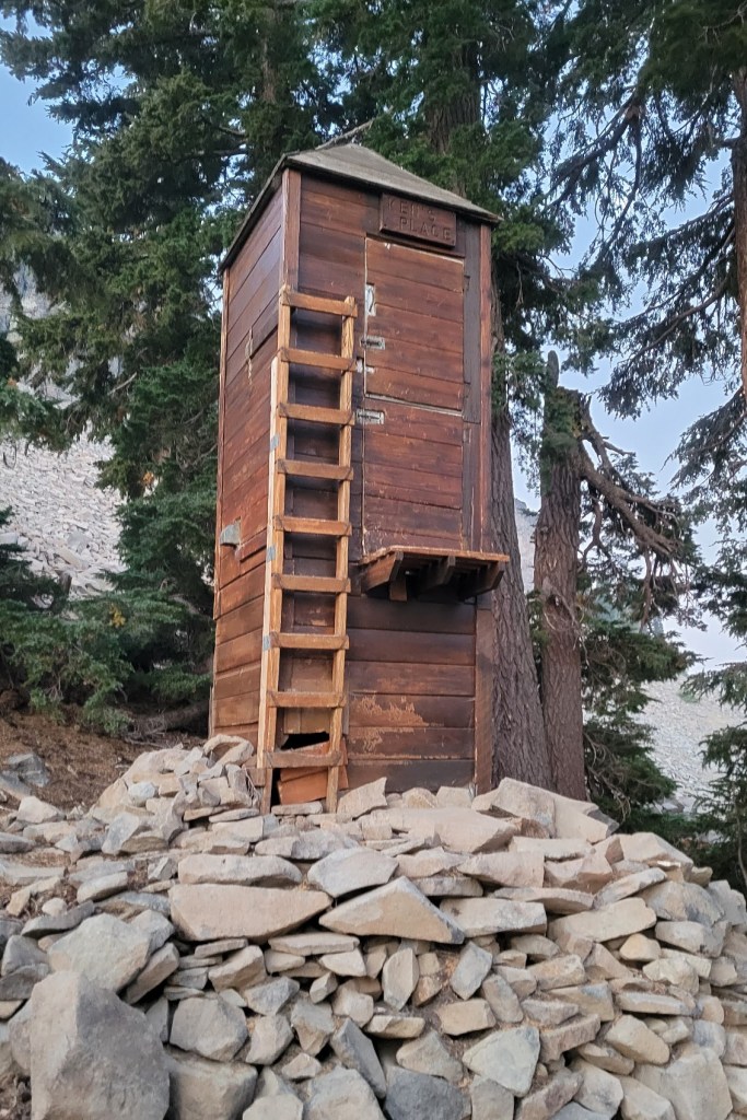
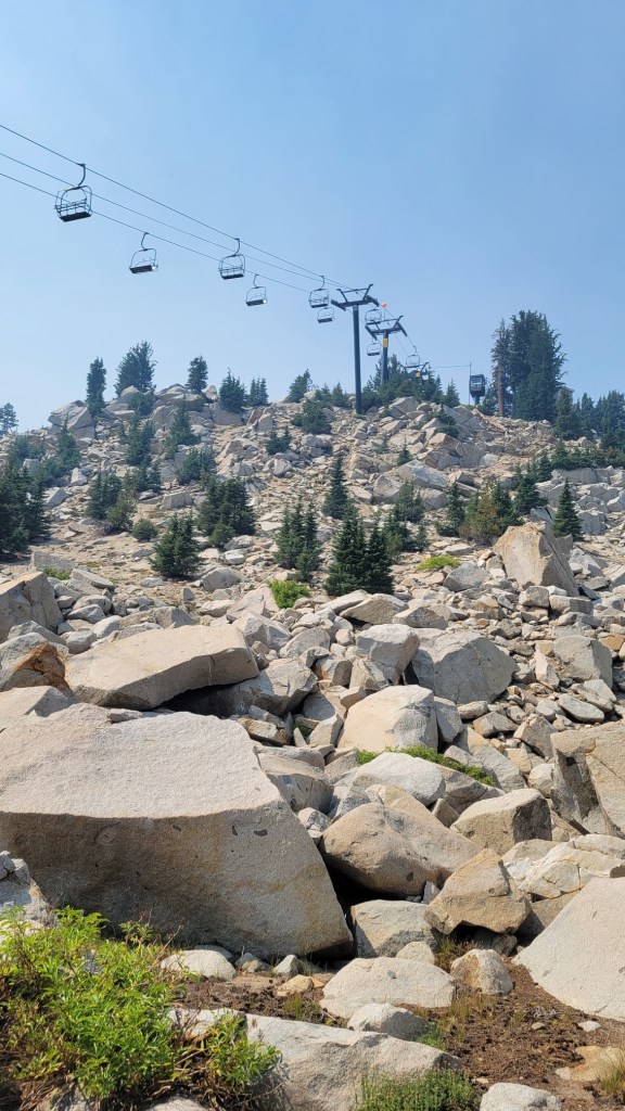
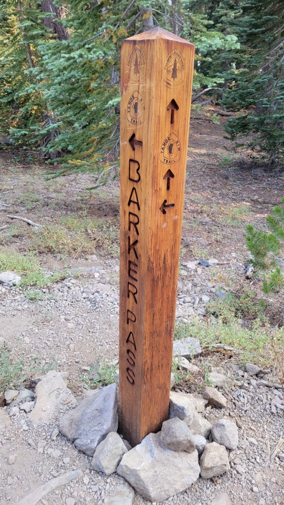
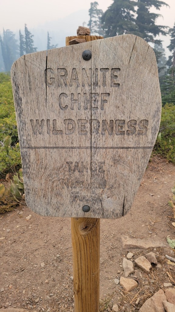
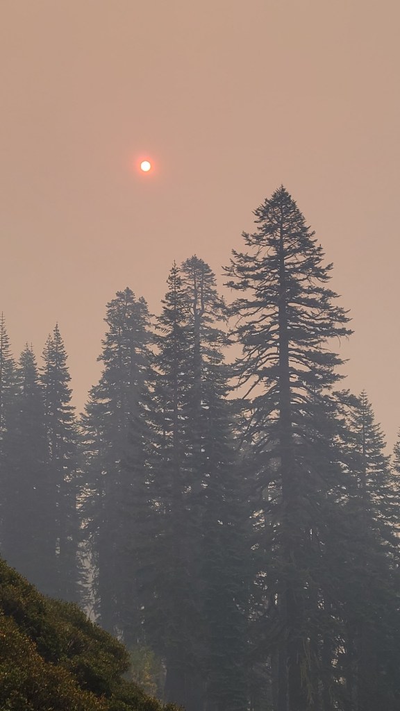
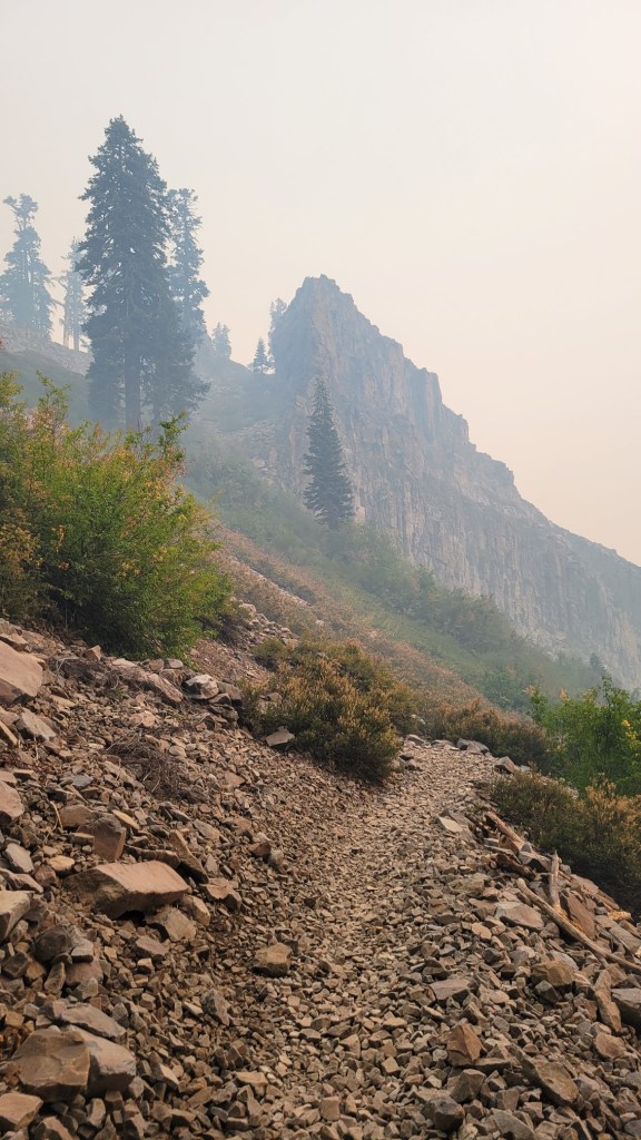
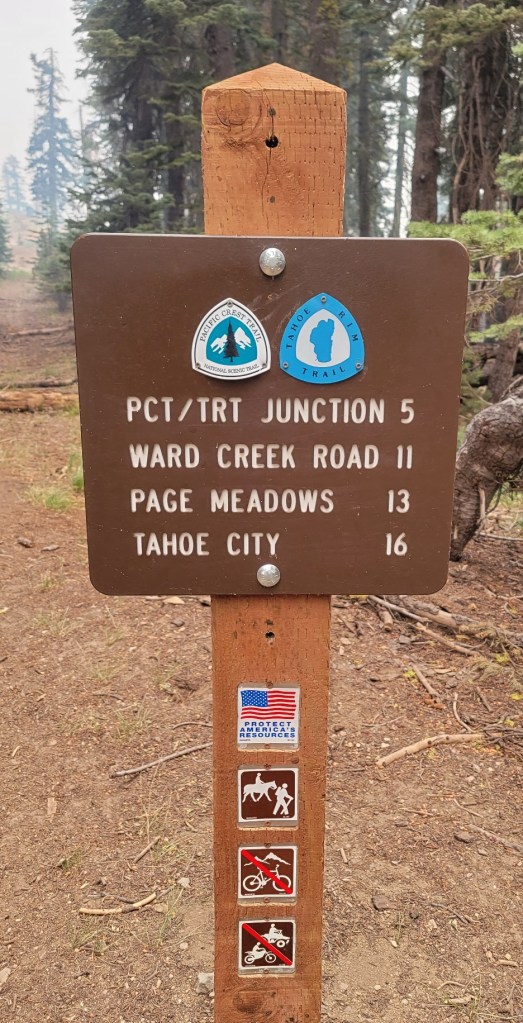
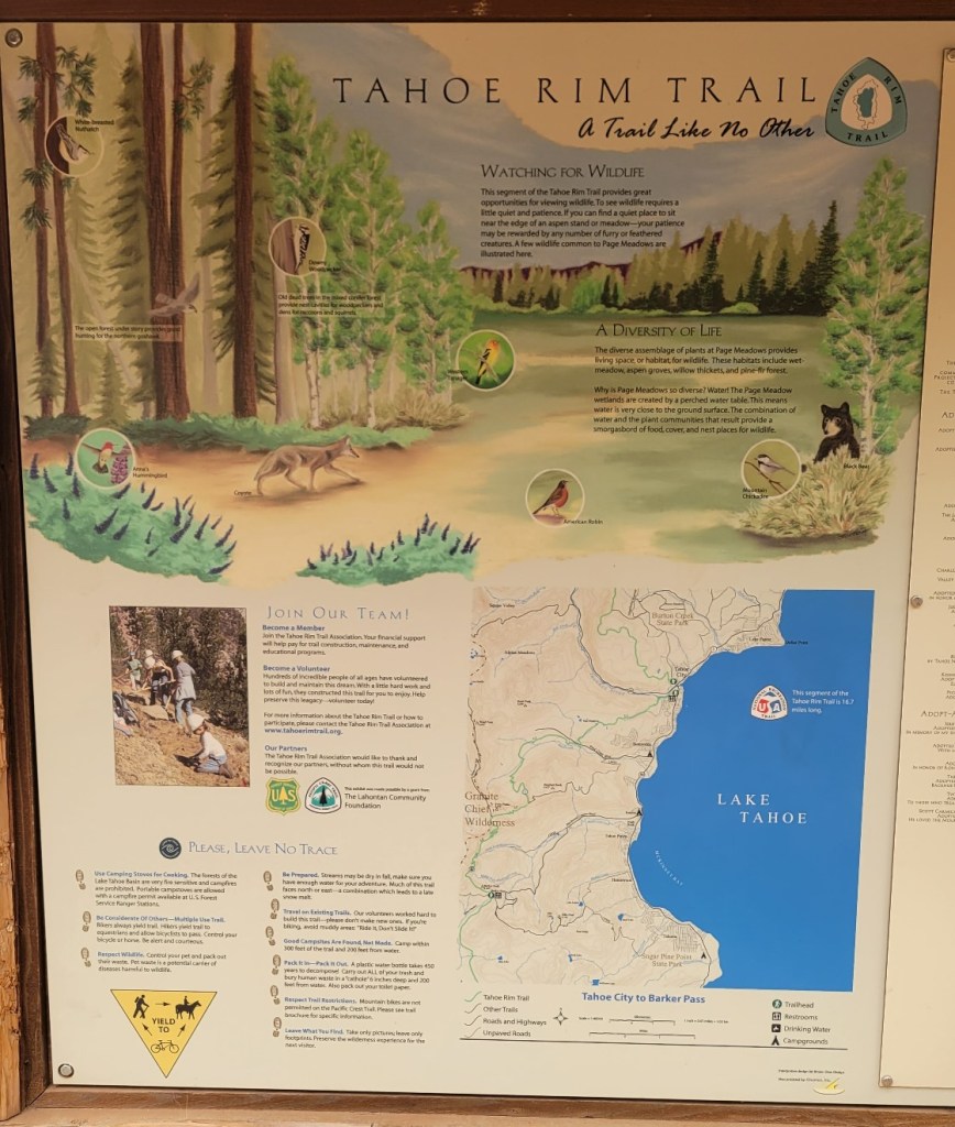
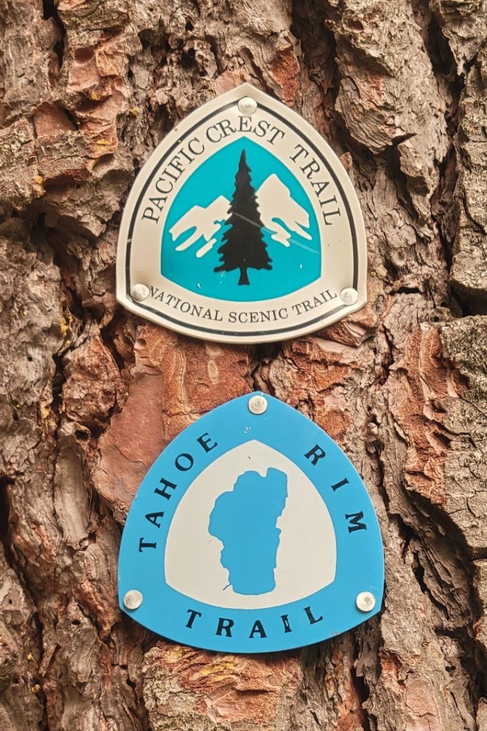
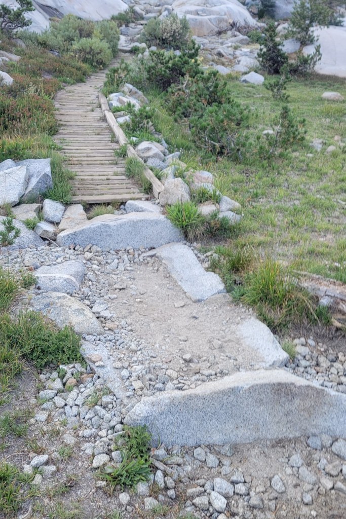
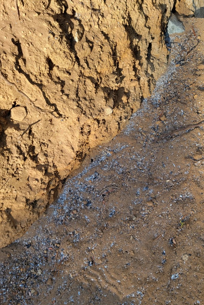
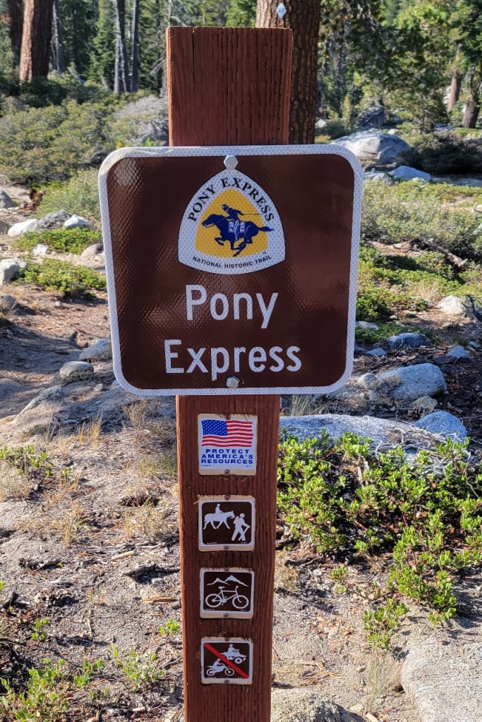
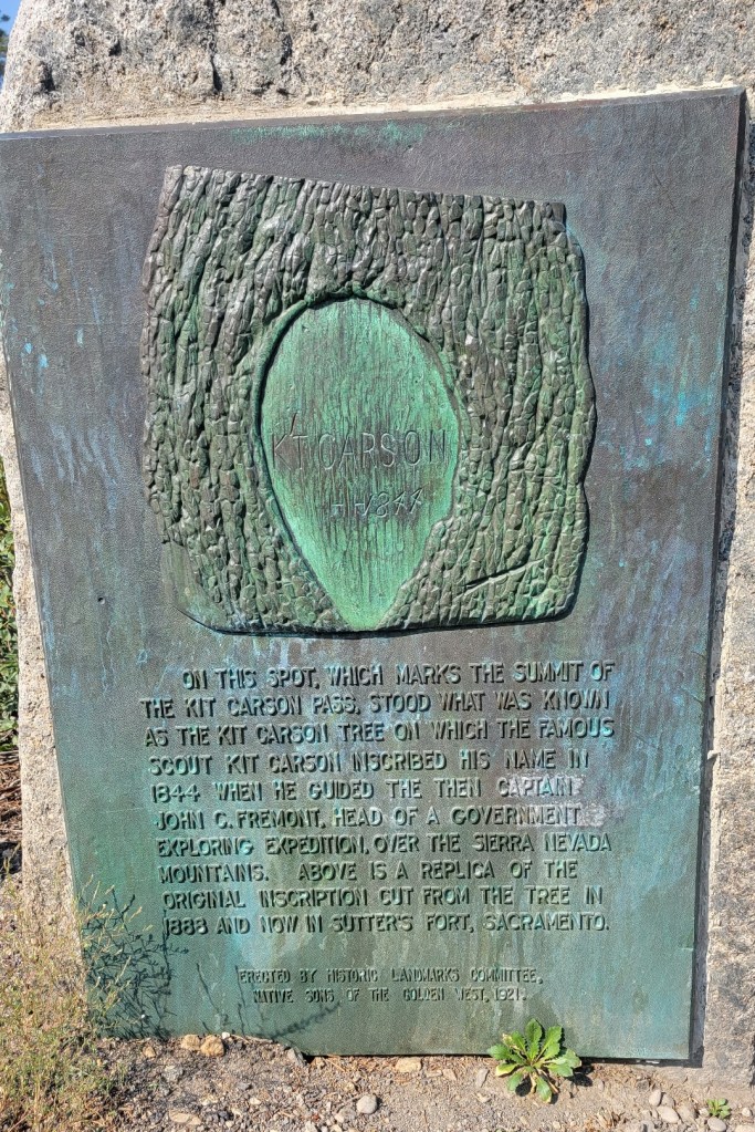
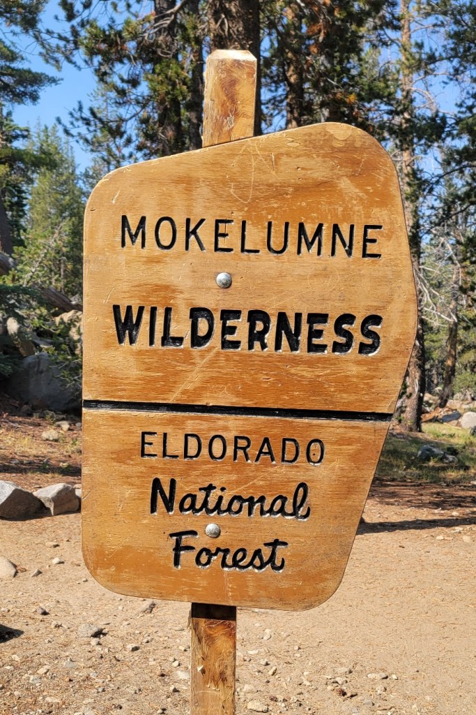
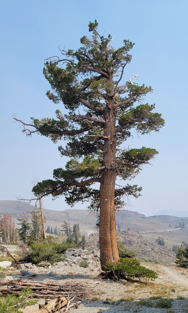
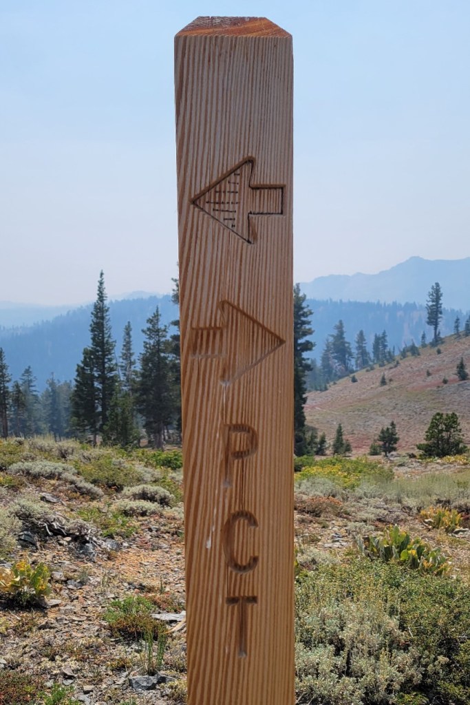
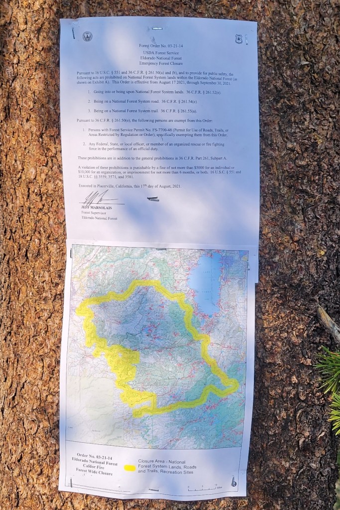
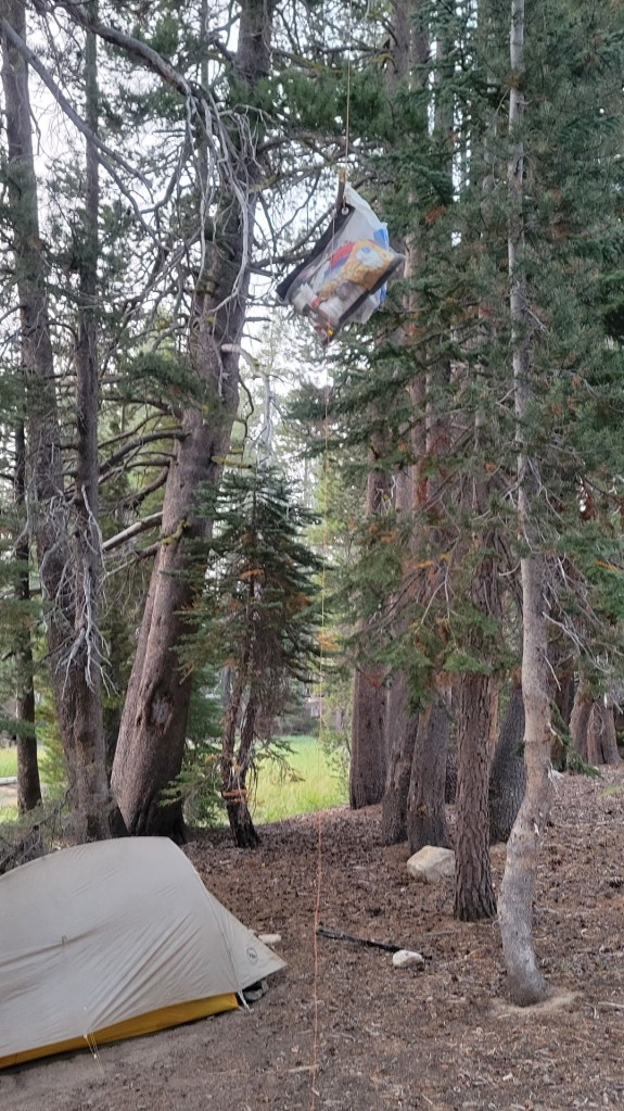
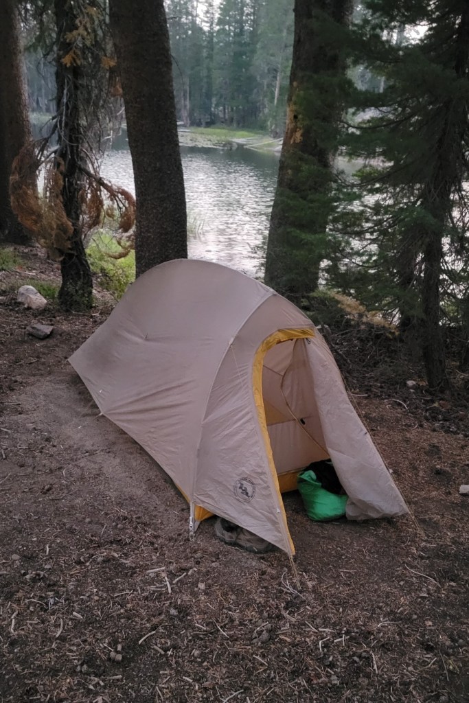
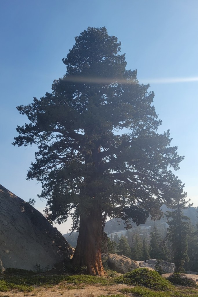
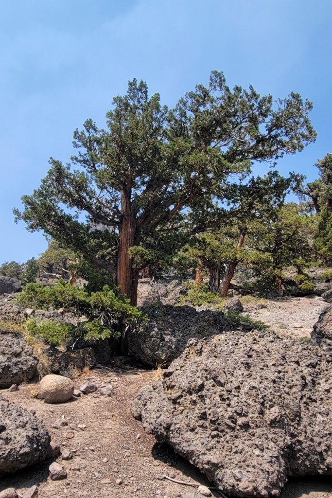
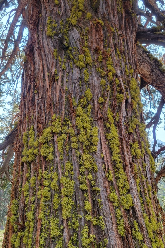
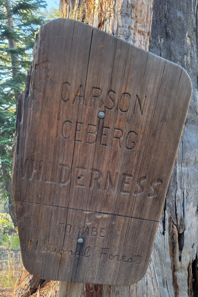
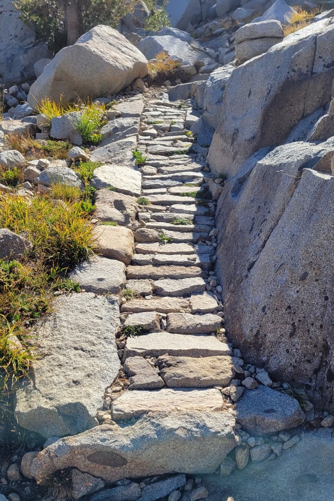
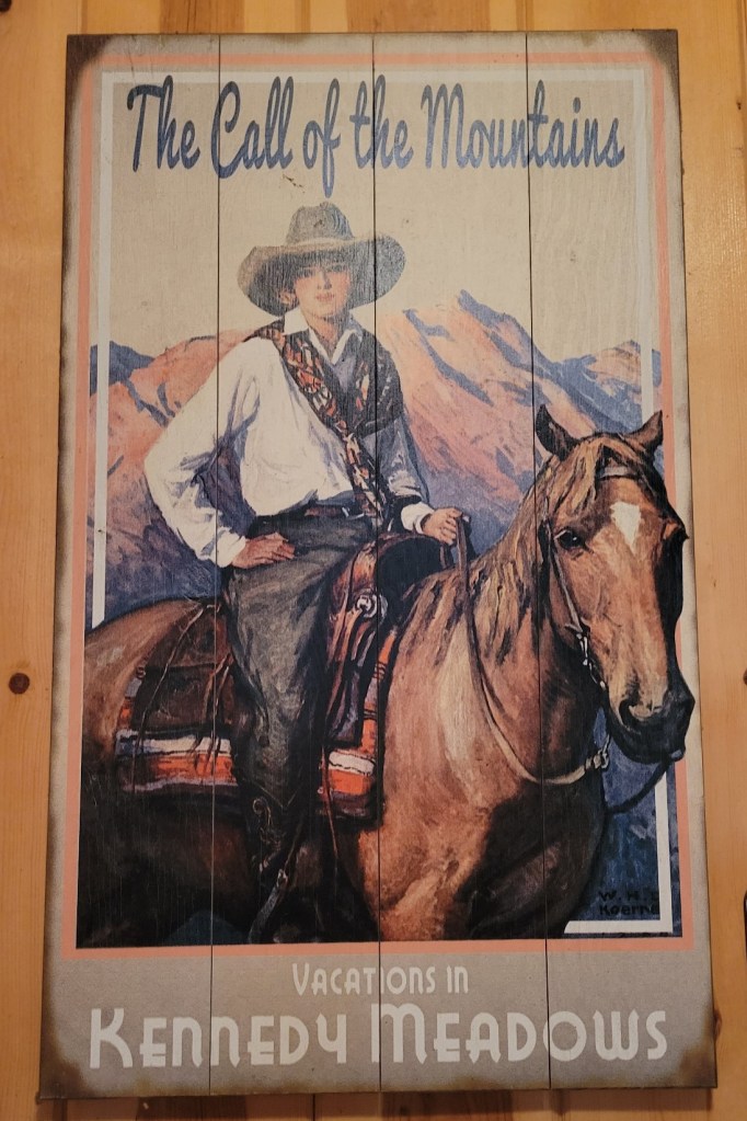
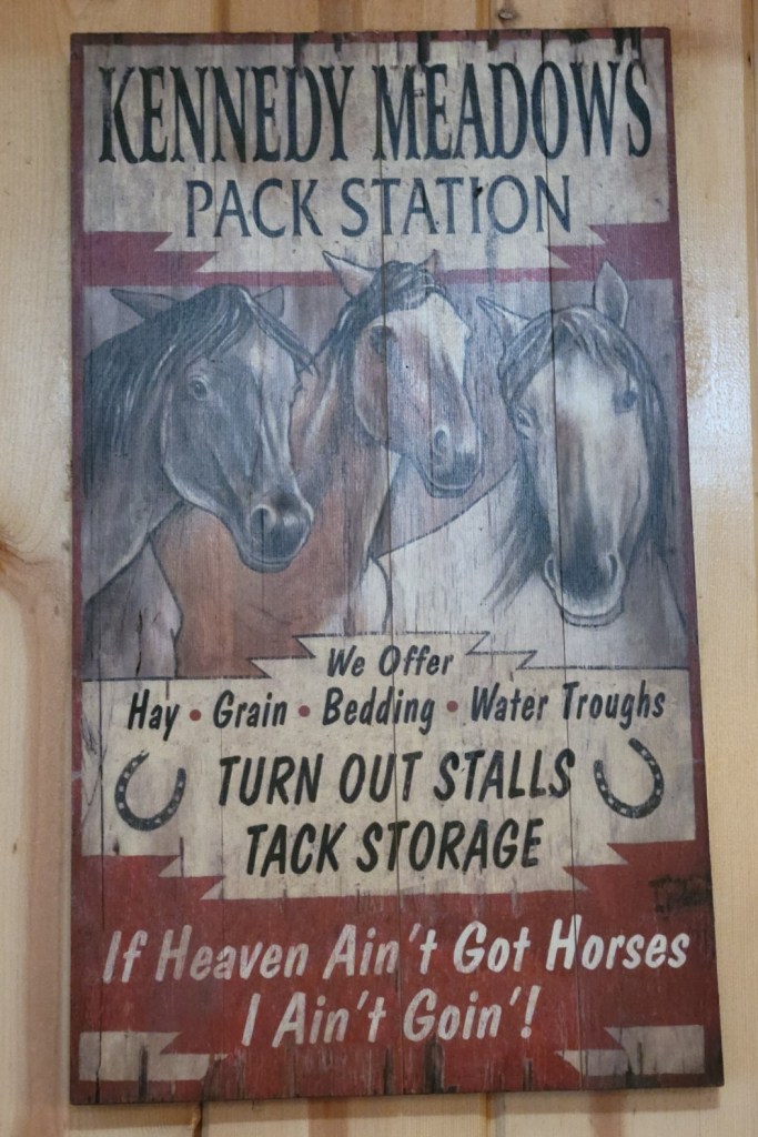
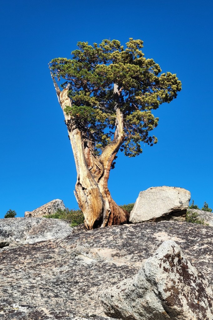
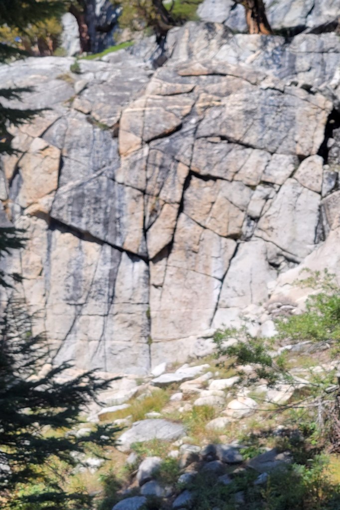
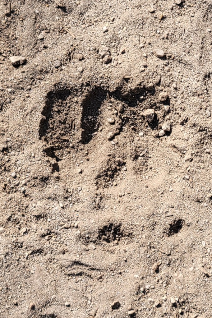
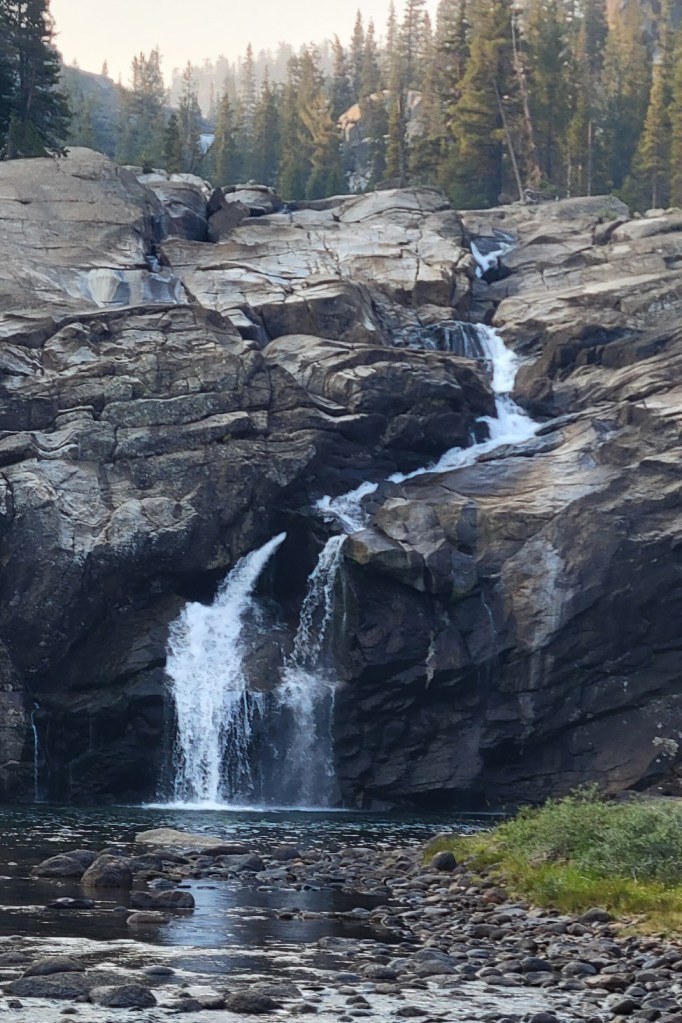
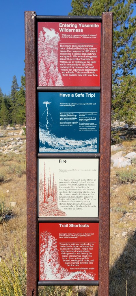
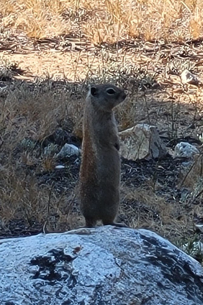
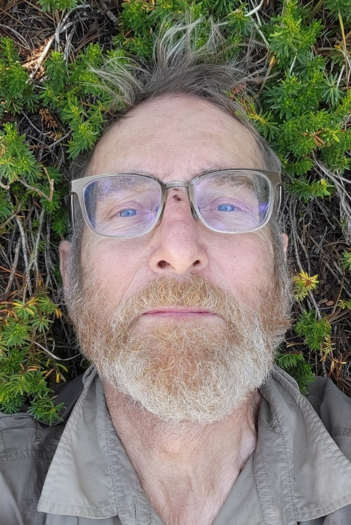
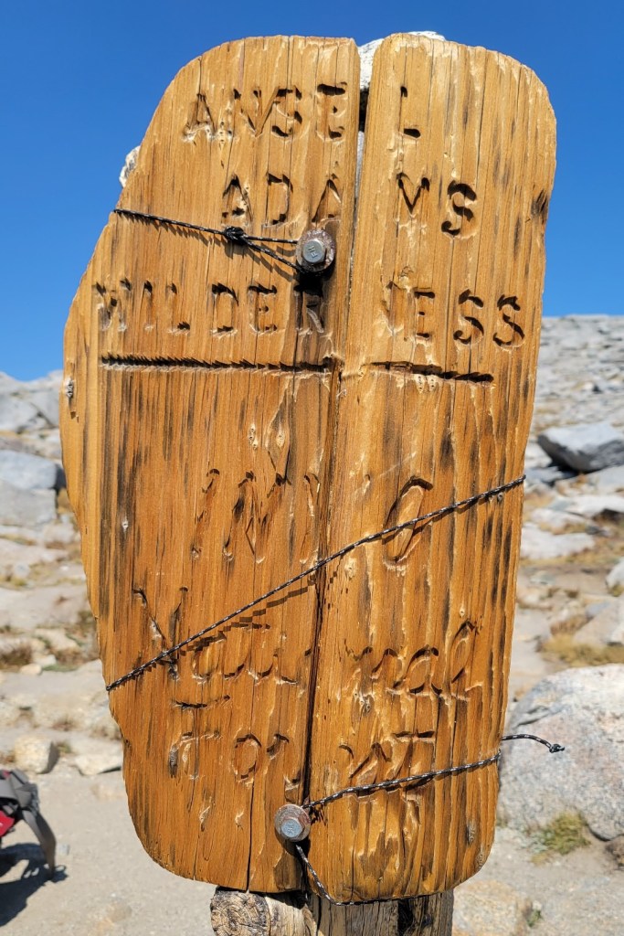
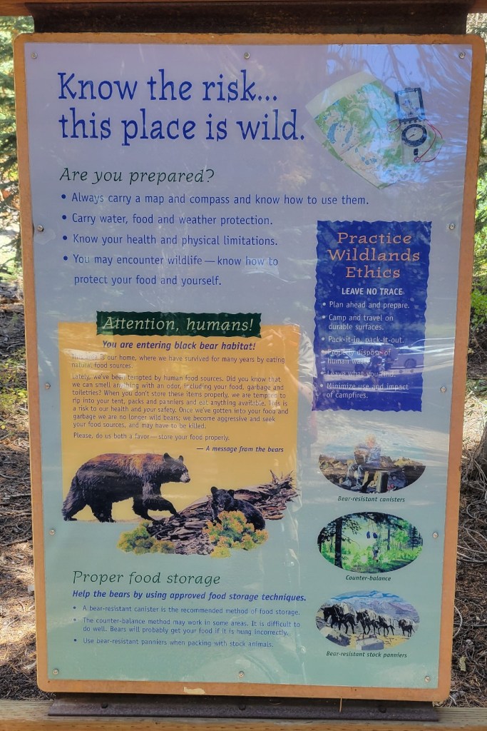
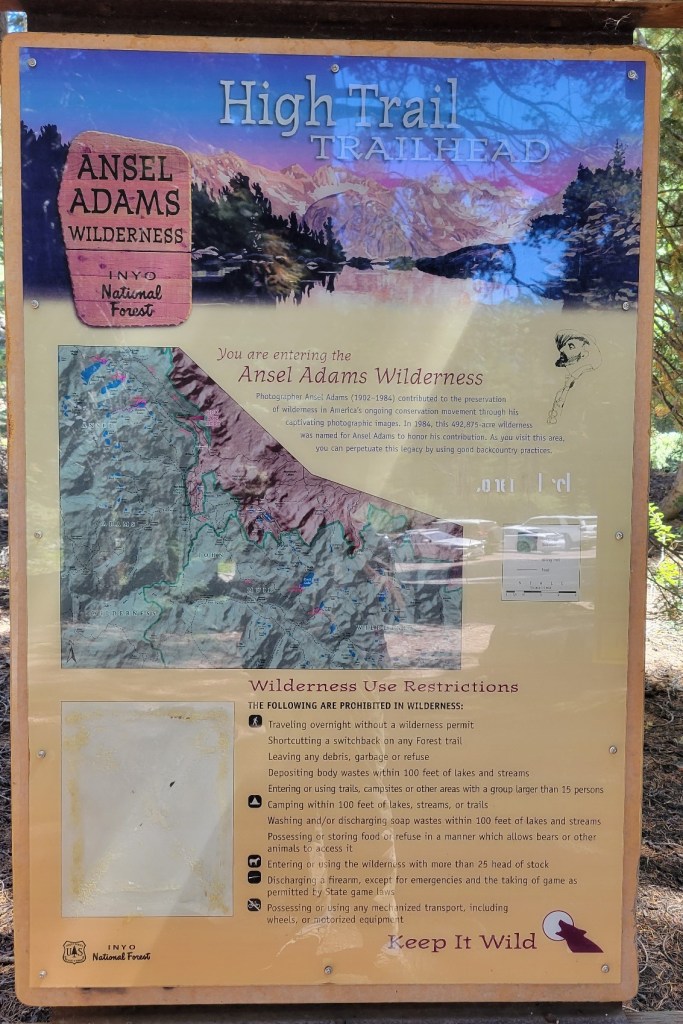
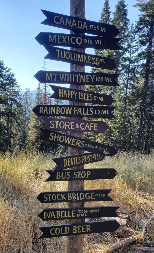
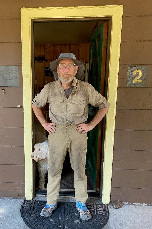
End of day. A little tired.Signs at Donner Summit on US Route 40The Sierra Club’s Benson X-Country Ski Hut, not too far from Donner Summit.This is the latrine at the hut. The height compensates for snow in the winter. Besides the ladder and two doors on the front, there’s also a door on top should the snow get that high.A rock which caught my eyeHiking through the Squaw Valley Ski Area near Tahoe.Directional arrows are for the PCT and the Tahoe Rim Trail. They are one and the same on the west side of Lake Tahoe.The haze is smoke from the Caldor Fire. At the time, the fire was west of Tahoe. This photo was taken around 9:00 am. Visibility that day was less than one mile. Not only could you smell the smoke, you could taste it.More smoky haze from the Caldor Fire.Tahoe Rim Trail information signsInteresting trail engineeringA weathered treeAsh on the trail from the Caldor Fire. This photo was taken near Echo Summit, west of Tahoe, just off US Route 50. This section of trail has now burned.Near Lake Tahoe, the PCT crosses the old Pony Express route. This portion of trail has now burned.Carson PassLeft, right — you decide.El Dorado National Forest closure order and map. I was in this national forest when it was closed due to the Caldor Fire. I had to skip 15 miles of trail southwest of Lake Tahoe.The perfect bear hang. The key ingredient is a tree with an adequate limb.Campsite near mountain lakeI love the moss.More trail engineeringPoster at the Kennedy Meadows “Resort,” north of Yosemite National Park.Another weathered treeAnother interesting rock formationCougar?Tuolumne River waterfallA Belding ground squirrel in Tuolumne MeadowsTaking a break on a long day.This sign has seen better days. The winter environment is harsh at 11,100 feet.Cracked rockSignage at Reds Meadow “Resort”Me in Mammoth. I think I need to burn the clothing. That’s Mochi behind me.
LikeLoading...
Related
Published by
Andrew Carter
I just completed a multi-year thru hike (MYTH) of the Pacific Crest Trail (PCT). It took three years. I hiked 1840 miles in 2021, 733 miles in 2022, and 122 miles in 2023. The only reason I had to hike in 2023 was a wildfire closure at the north end of the PCT in 2022. During the past two years, I've also thru hiked other, shorter US trails. I hiked the Benton MacKaye Trail (GA, NC, TN) and the Tuscarora Trail (VA, WV, MD, PA) in 2022 plus the Ozark Highlands Trail (AR) in 2023. I hope to hike the Long Trail (VT) next year and the Colorado Trail at some point in the future. Please note, all content on this site is copyright.
View all posts by Andrew Carter
3 thoughts on “Sierra City to Mammoth, Part 1”
Andy, fingers crossed that you’ll be able to do the last part of CA that you were hoping to do this year!!! Janet


Andy, fingers crossed that you’ll be able to do the last part of CA that you were hoping to do this year!!! Janet
LikeLike
Andrew,
I’ve been following your progress!! You’re crushing it! Keep the images coming. They are beautiful and inspirational. Happy retirement indeed!
LikeLike
Hey, Jasch. Great to hear from you. I hope all is well.
LikeLike