More photos from my most recent trail section on the PCT. I started 8/14 at Sierra City, which is north of Donner Pass. I finished on 8/30 at Mammoth. I’m hoping the Forest Service will open back up the national forests in California so that I can get the remaining 270 miles of California done this year. We’ll see.
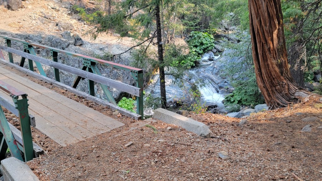
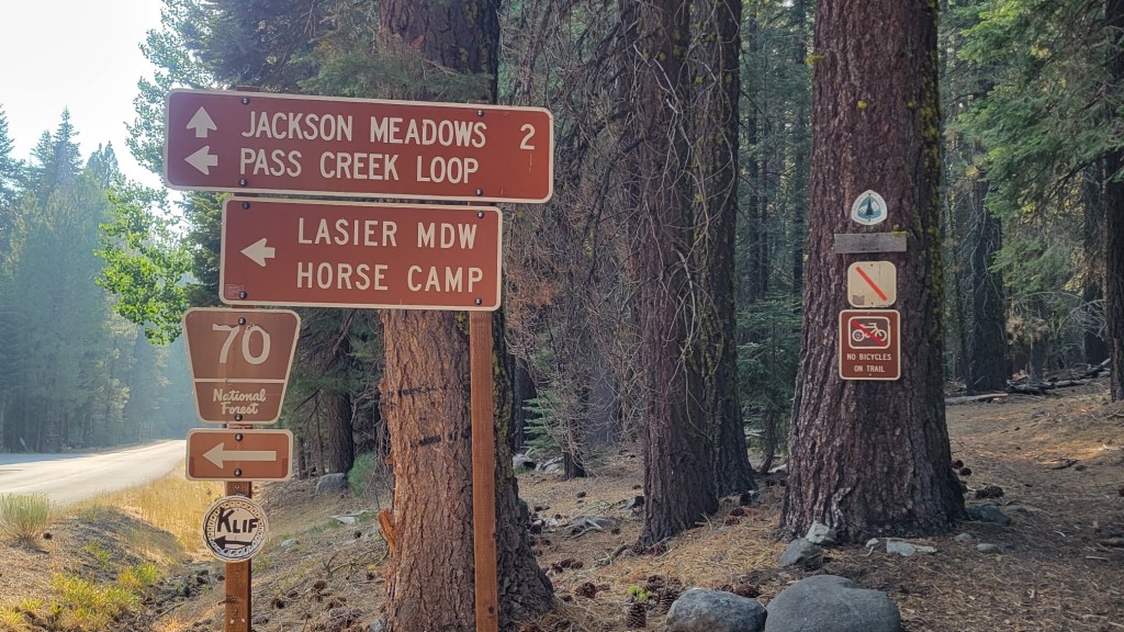
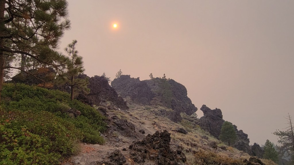
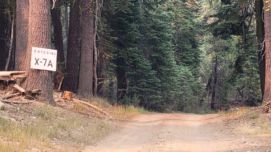
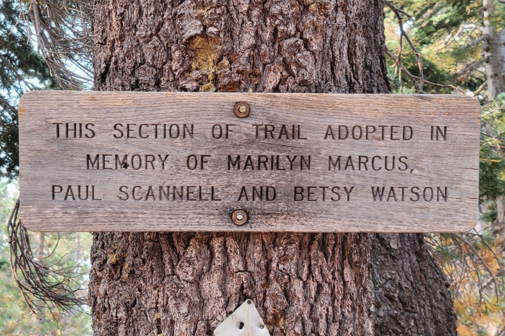
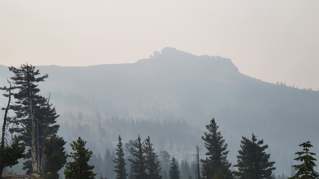
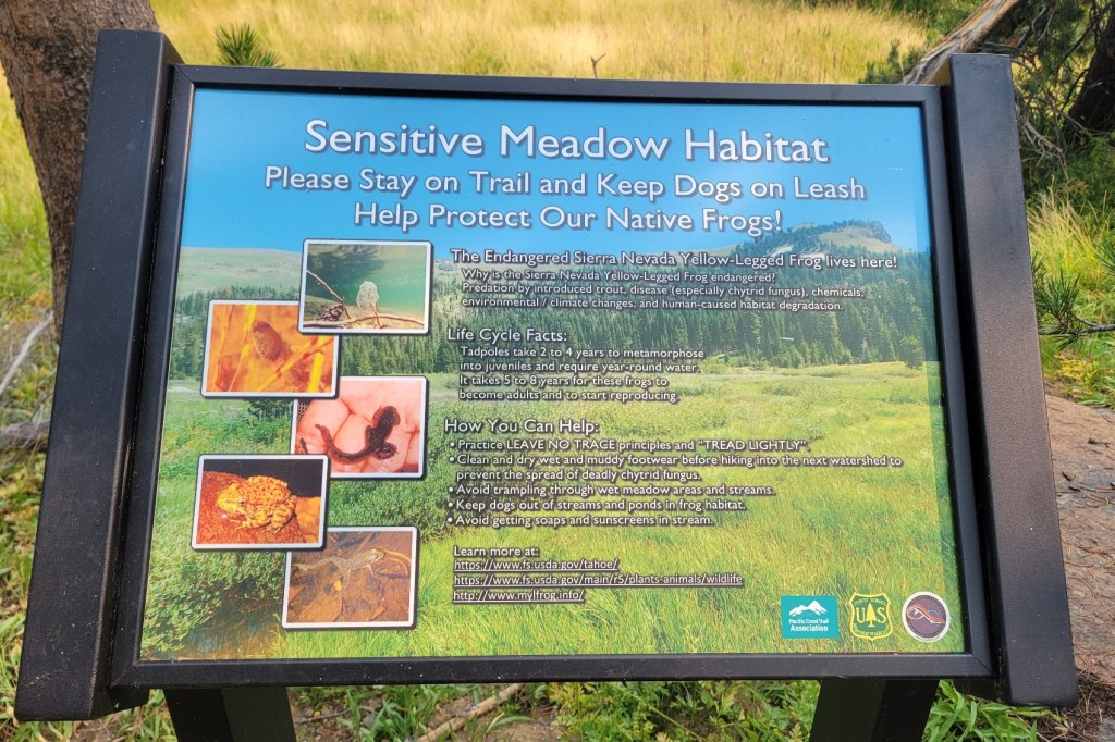
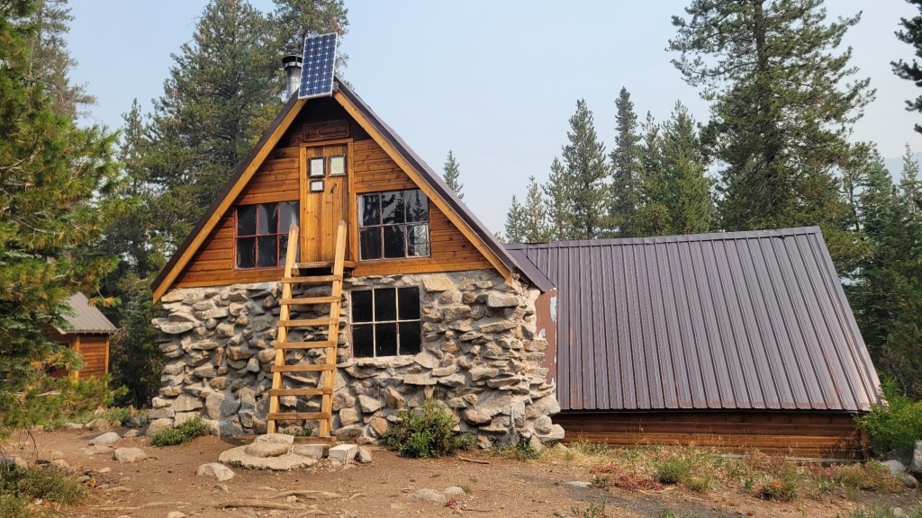
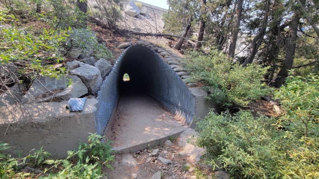
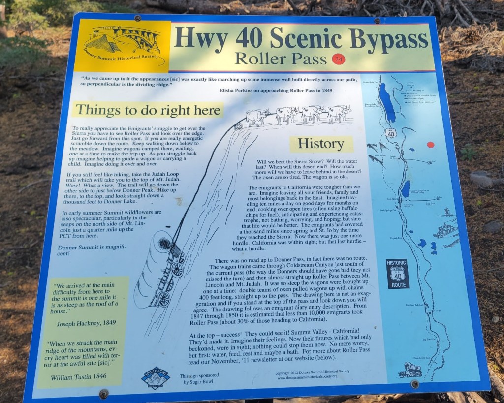
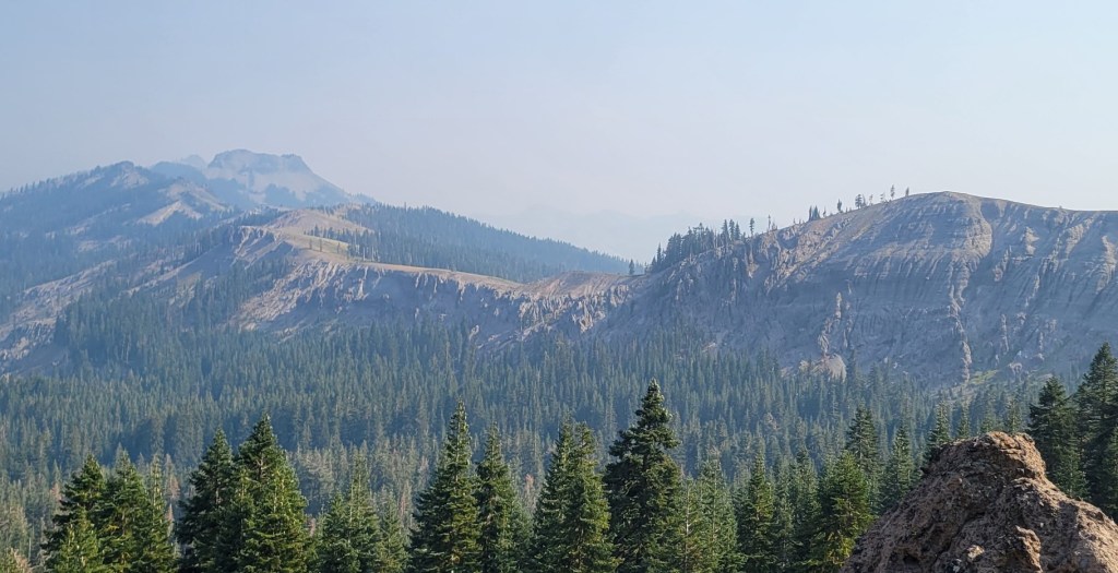
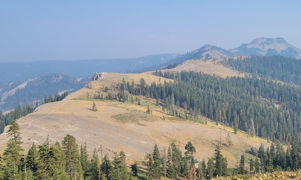
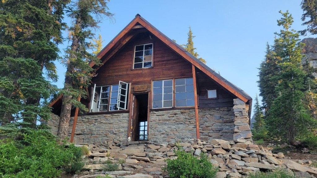
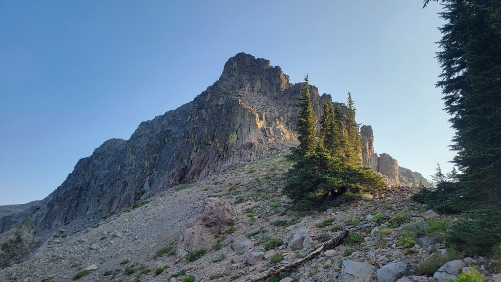
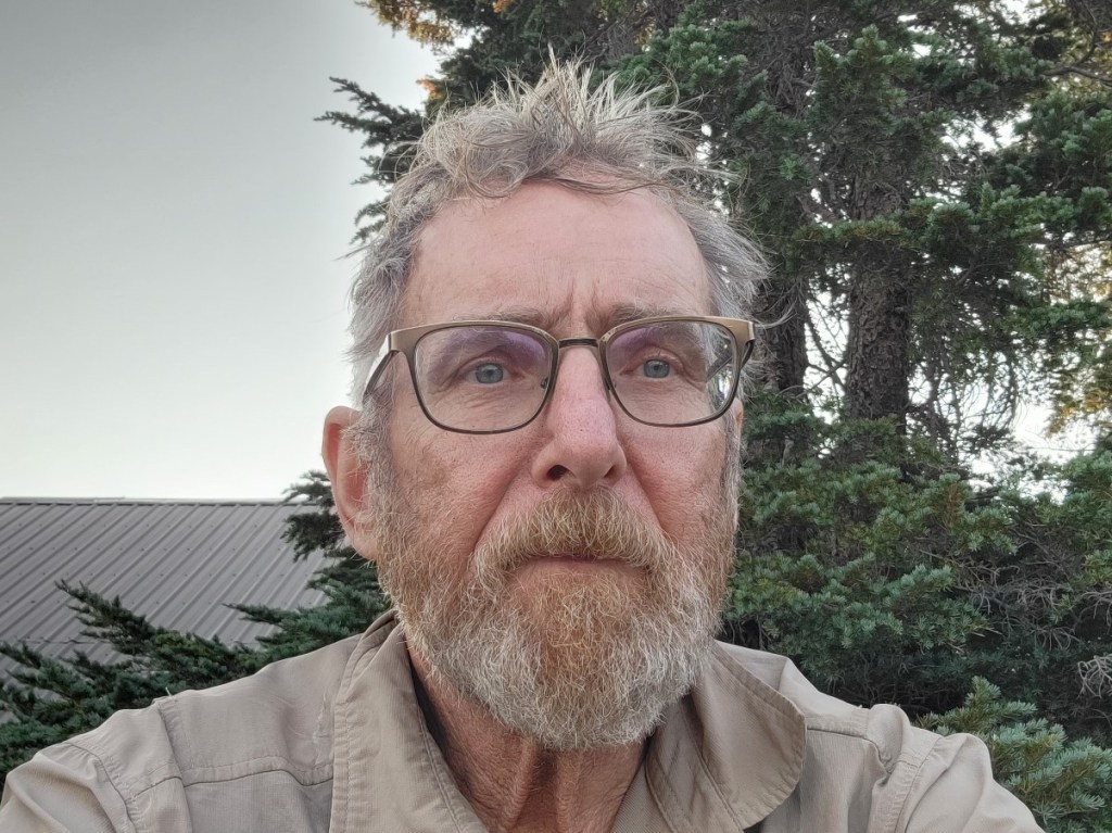
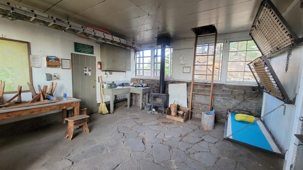
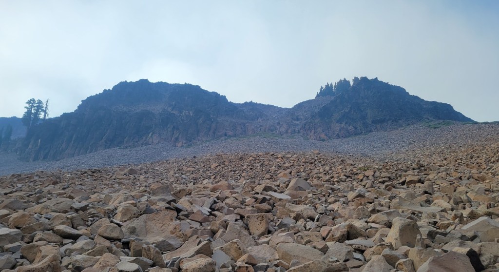
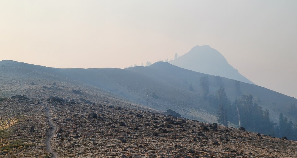
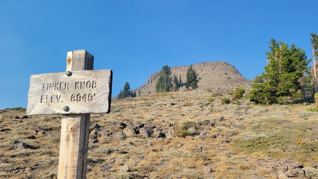
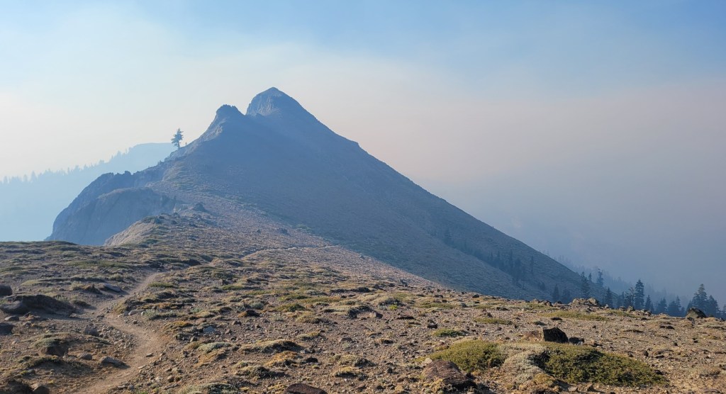
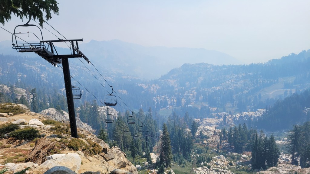
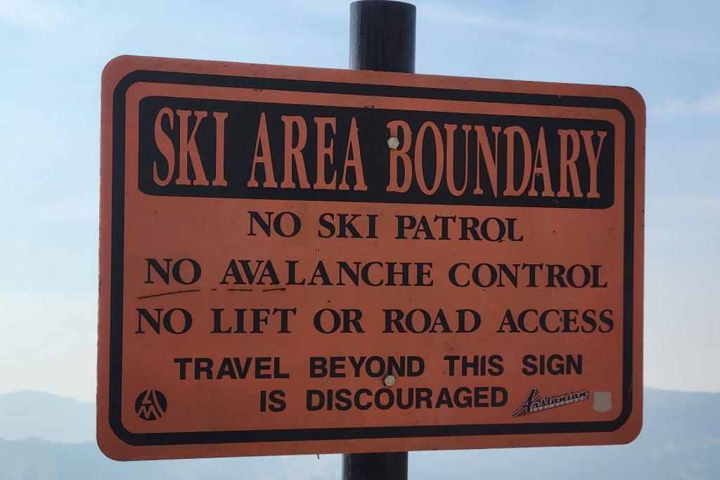
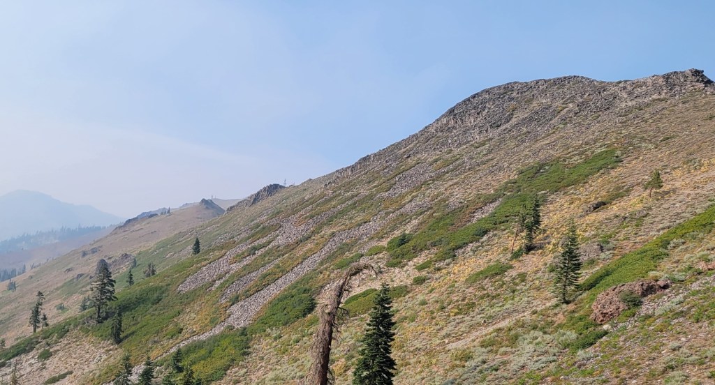
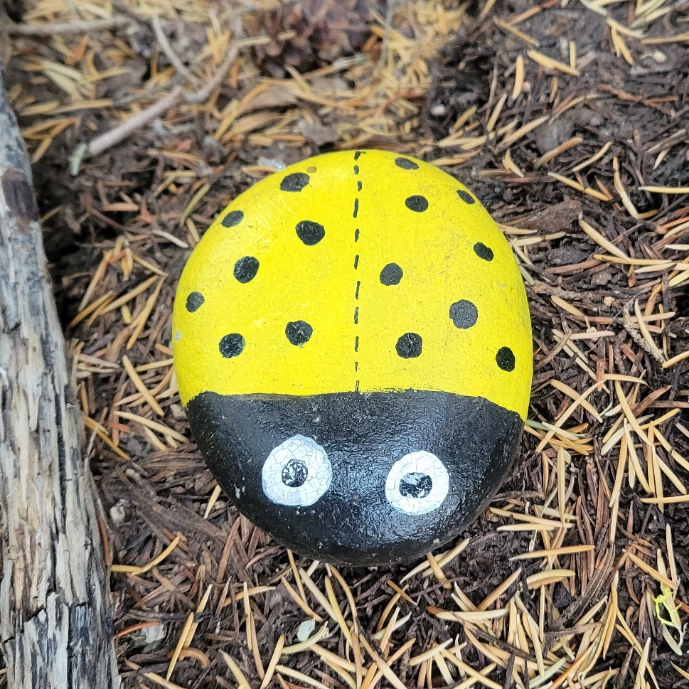
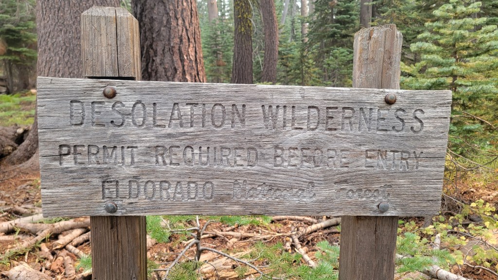
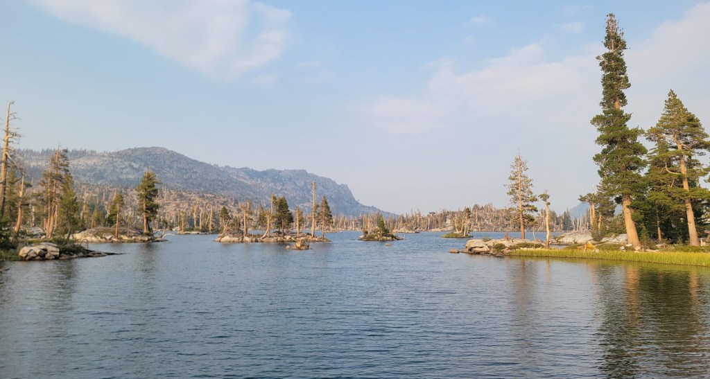
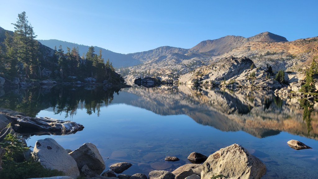
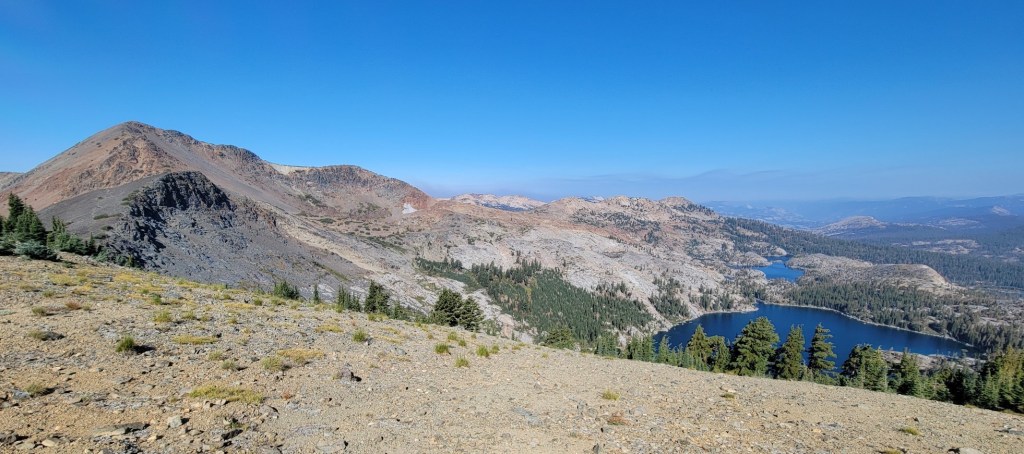
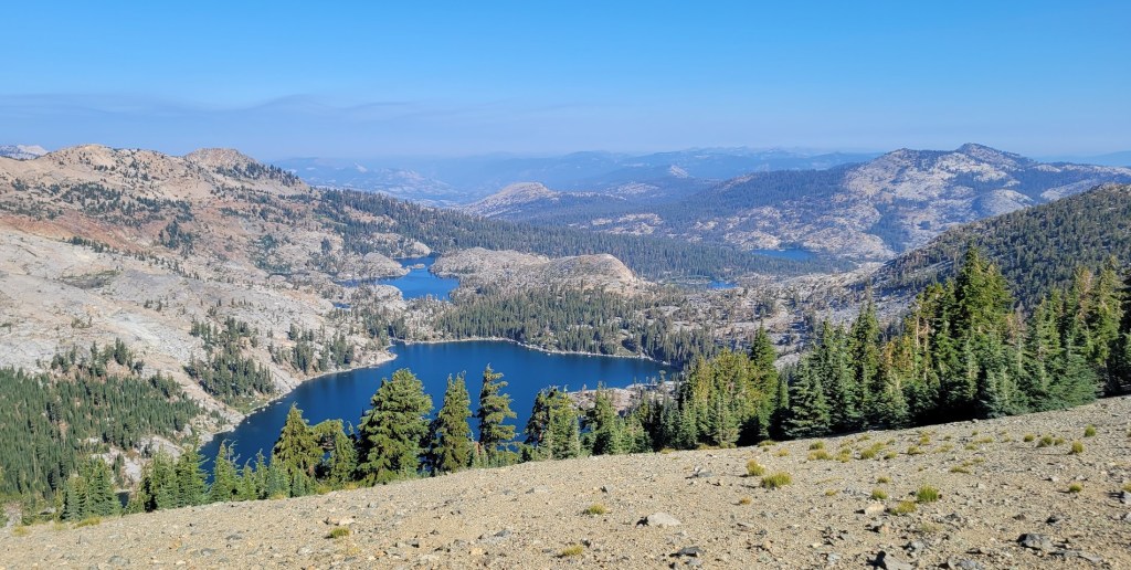
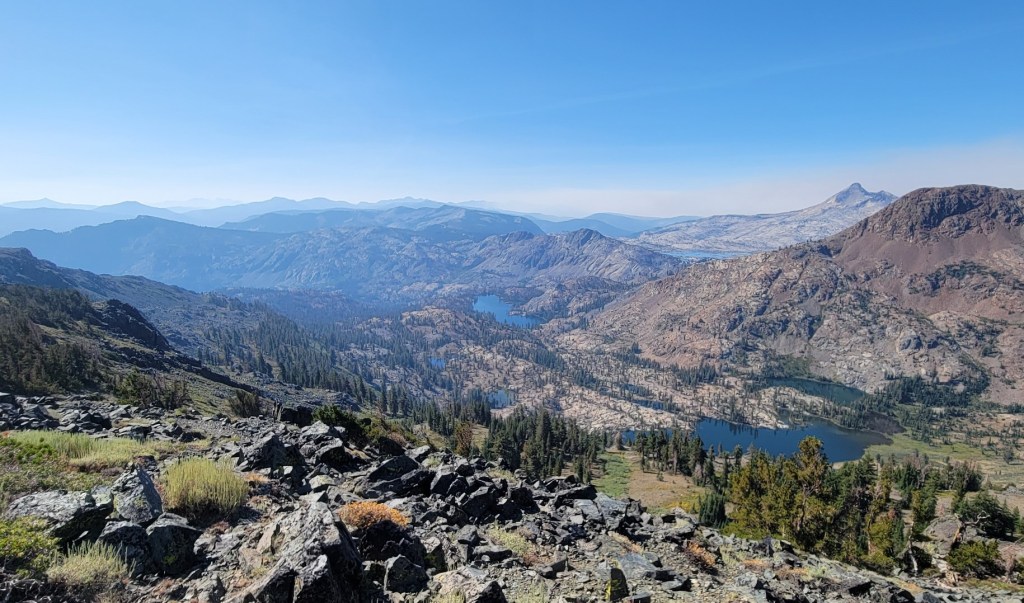
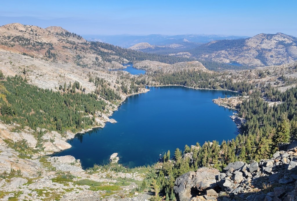
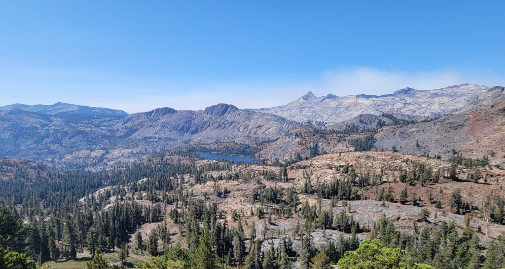
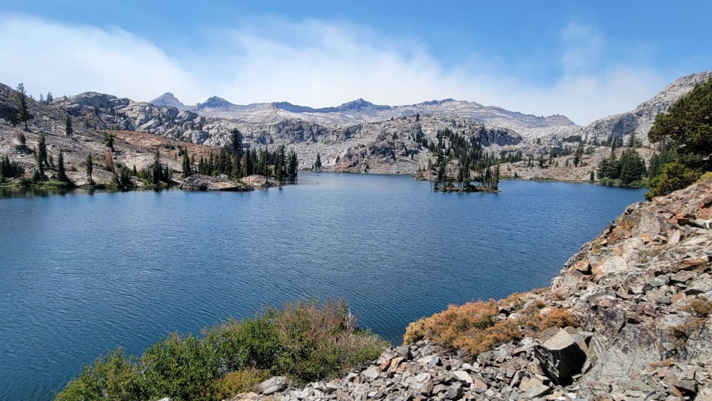
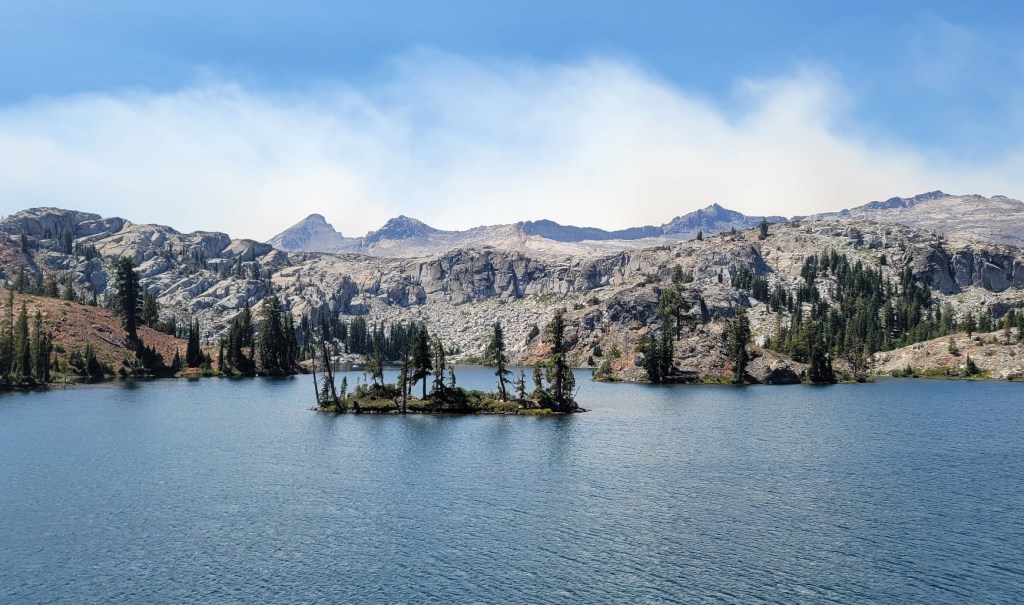
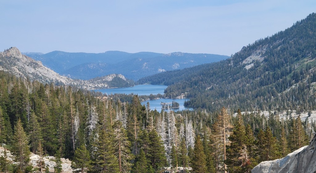
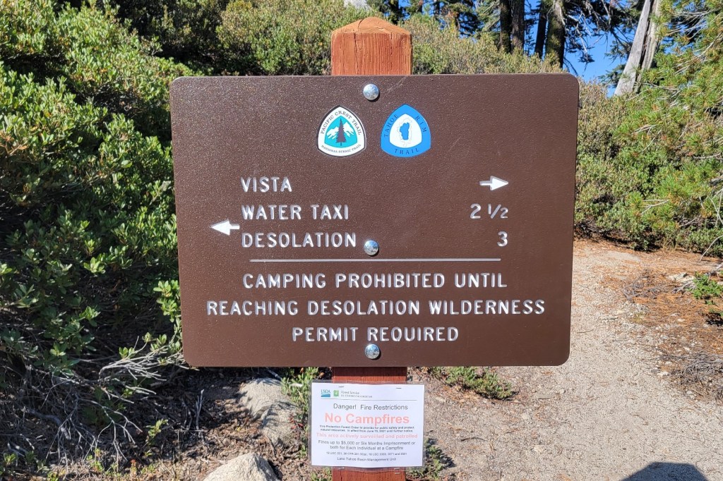
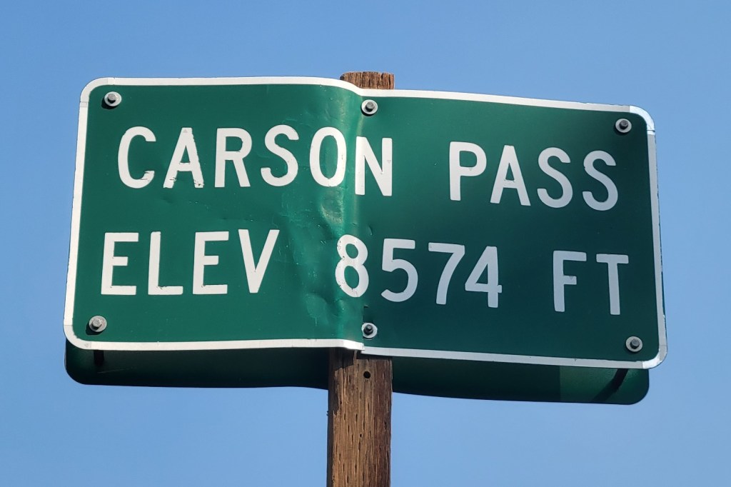
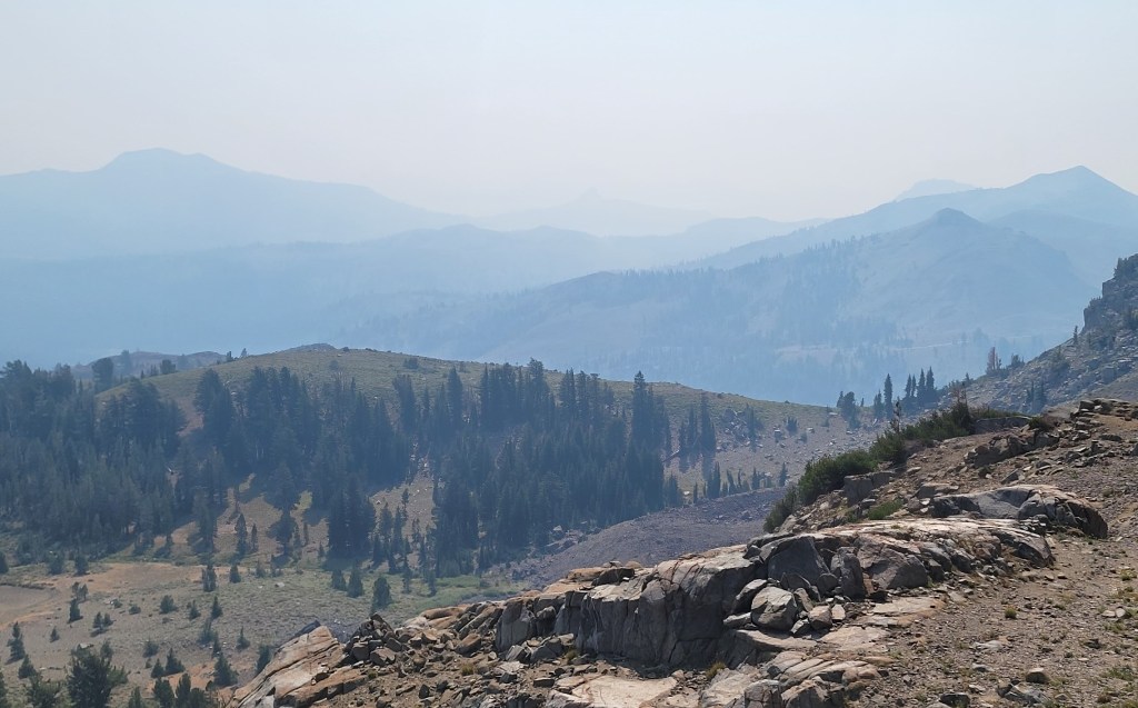
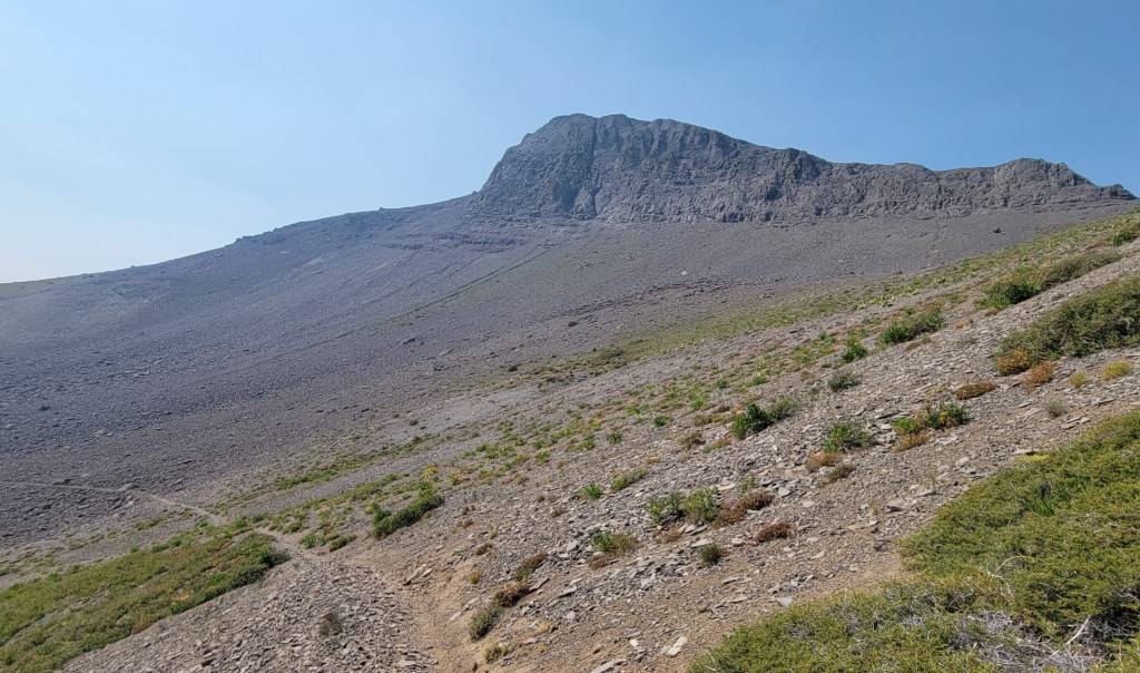
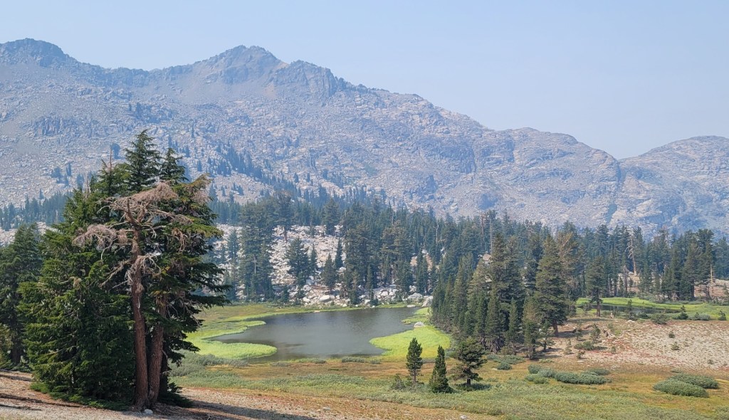
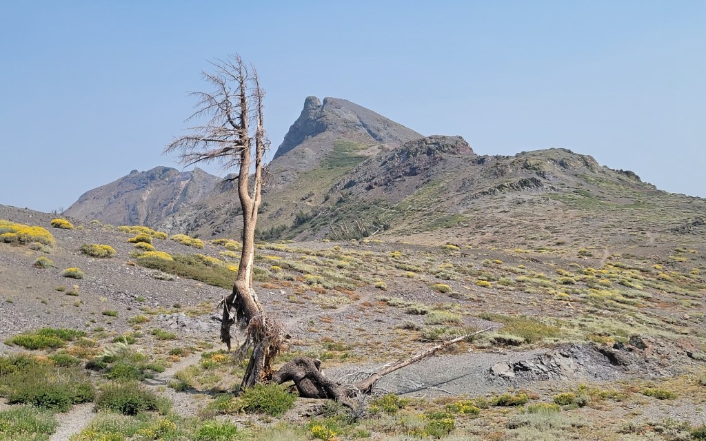
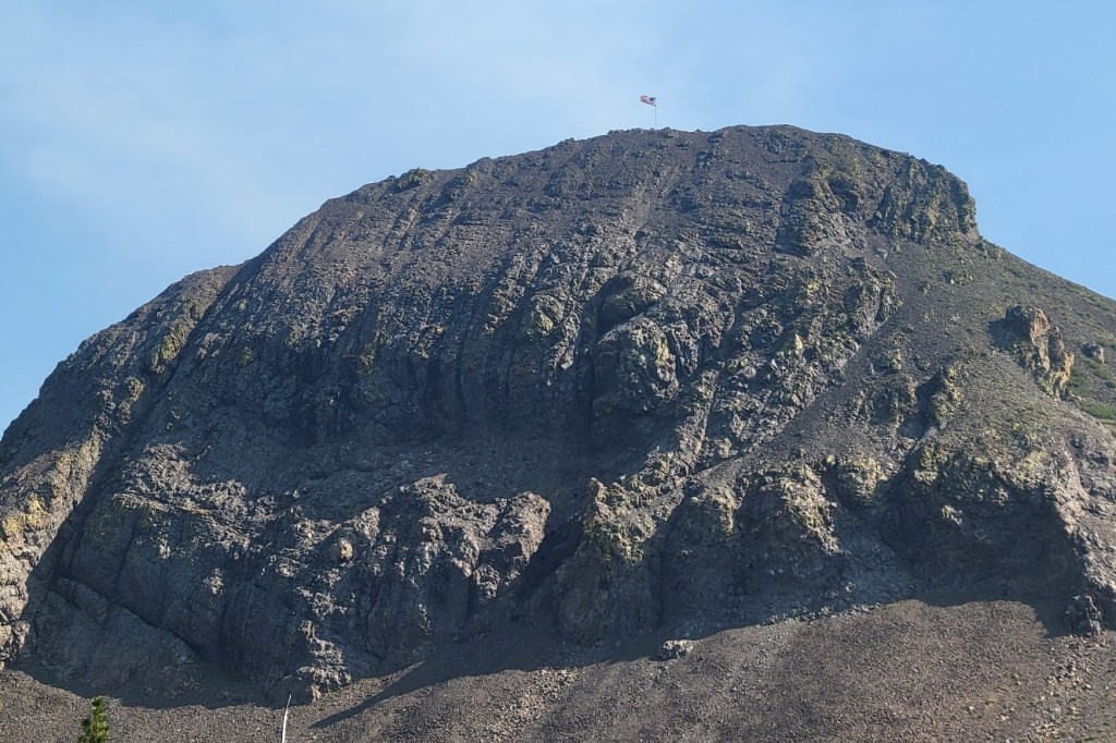
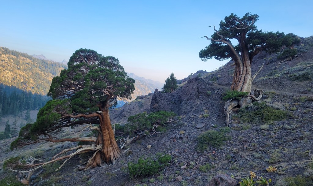
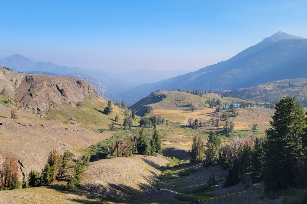
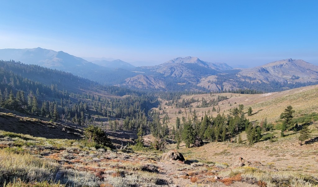
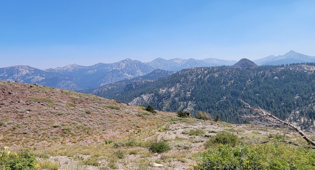
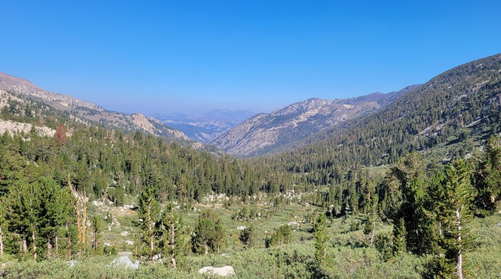
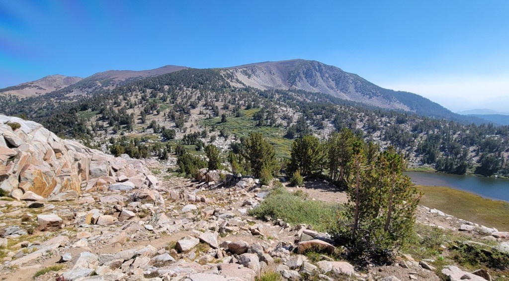
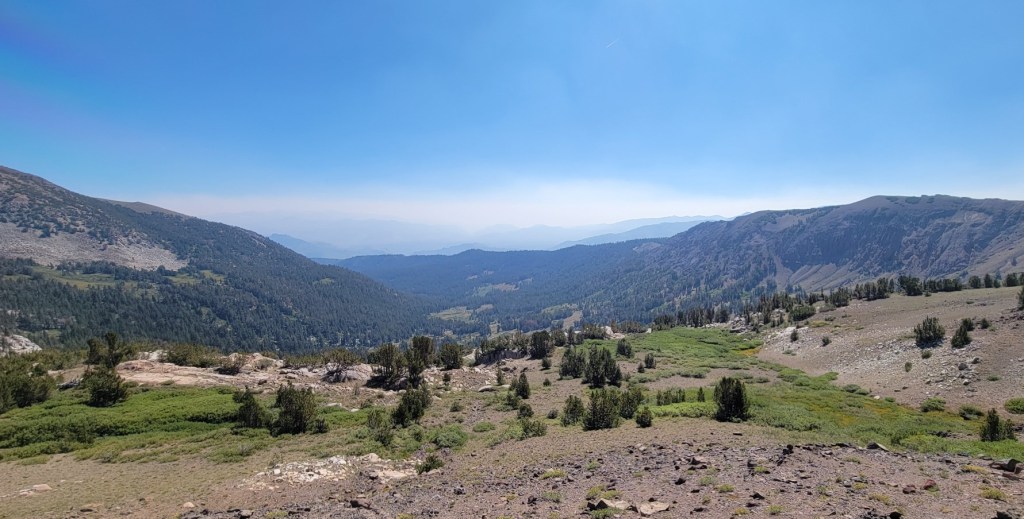
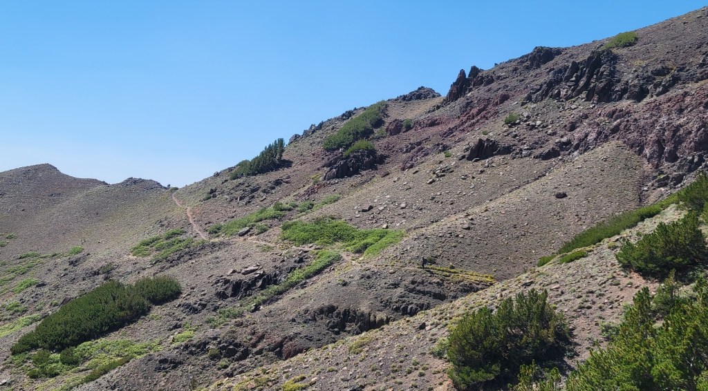
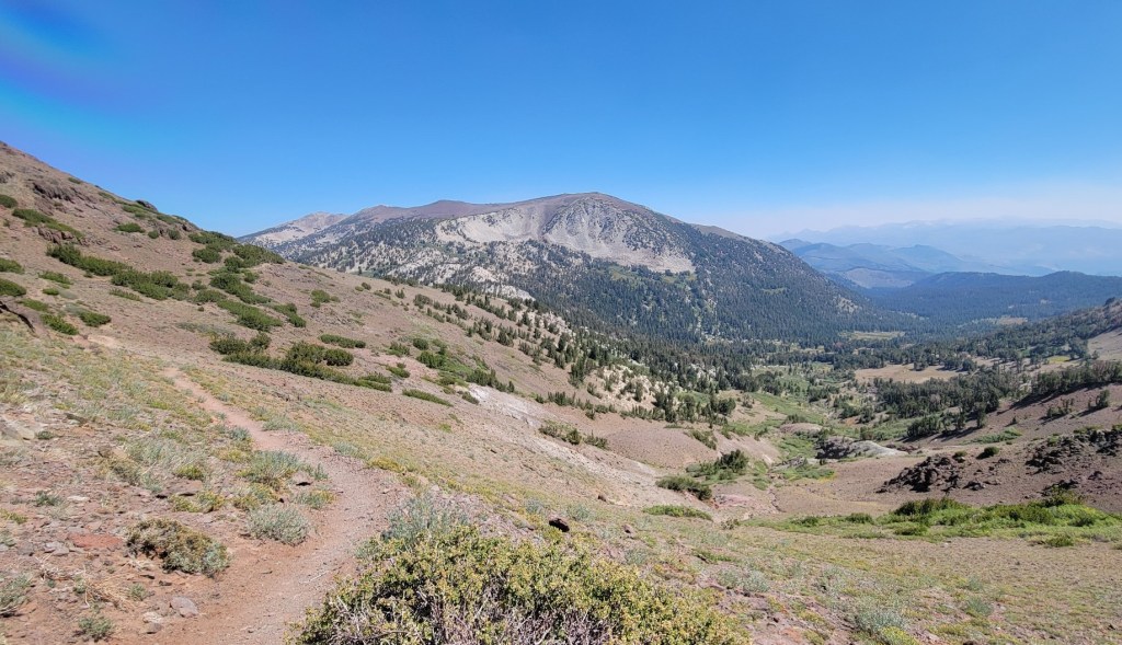
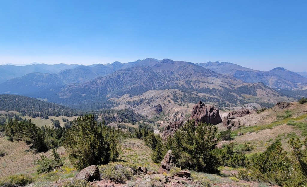
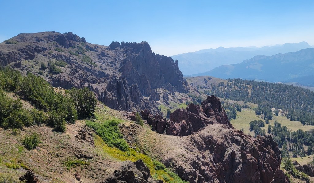
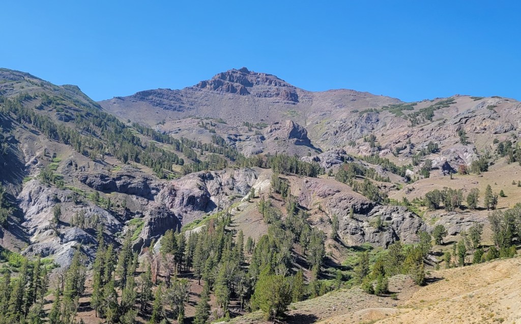
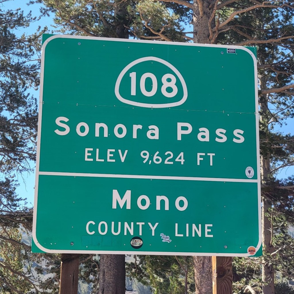
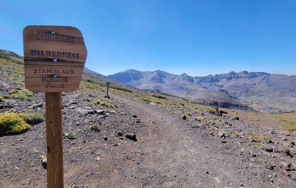
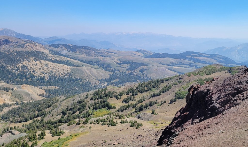
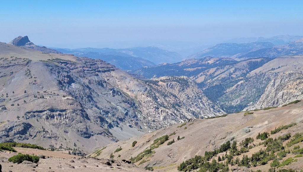
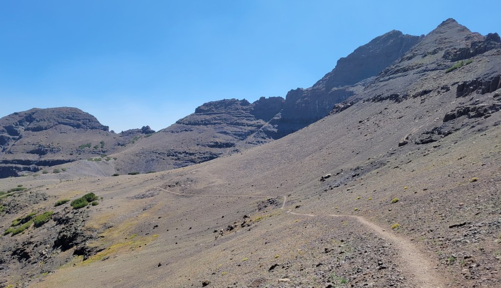
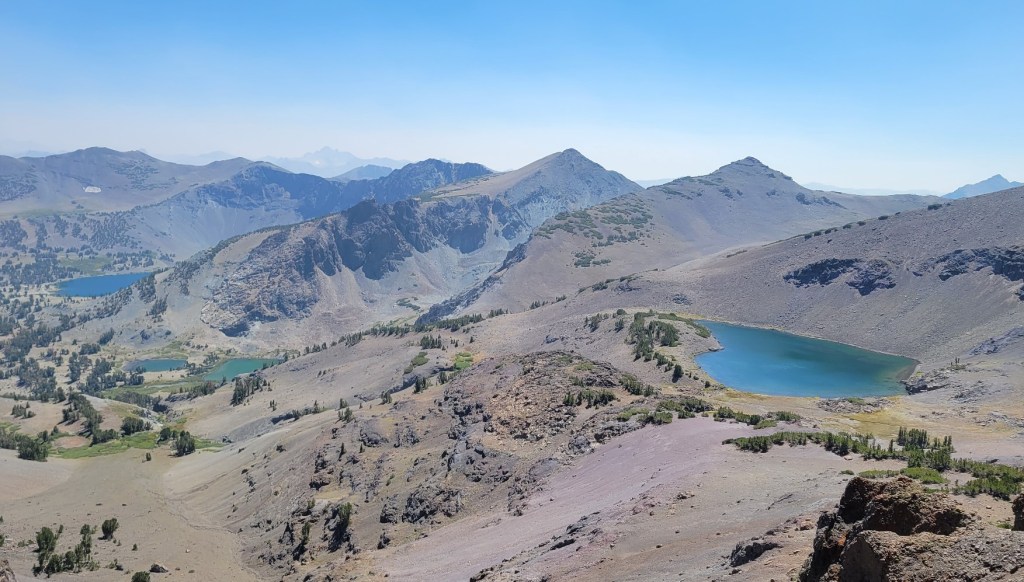
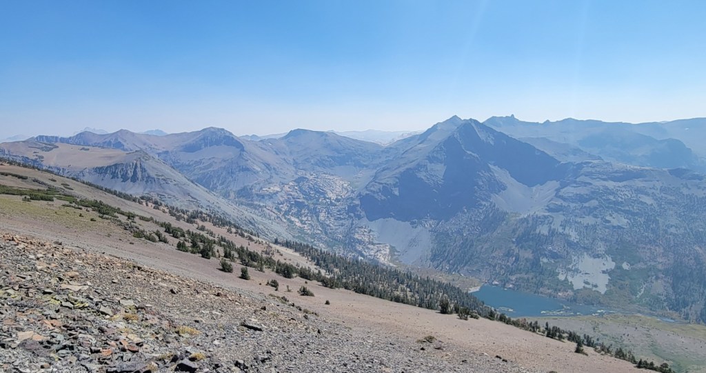
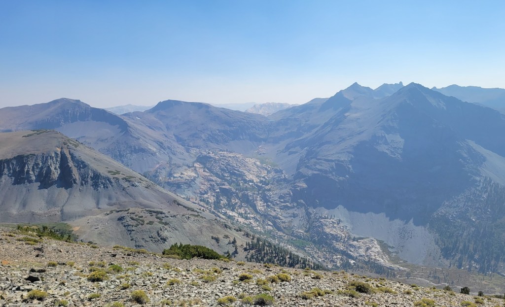
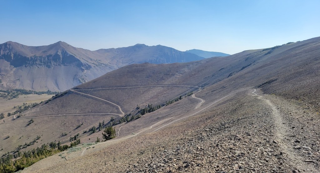
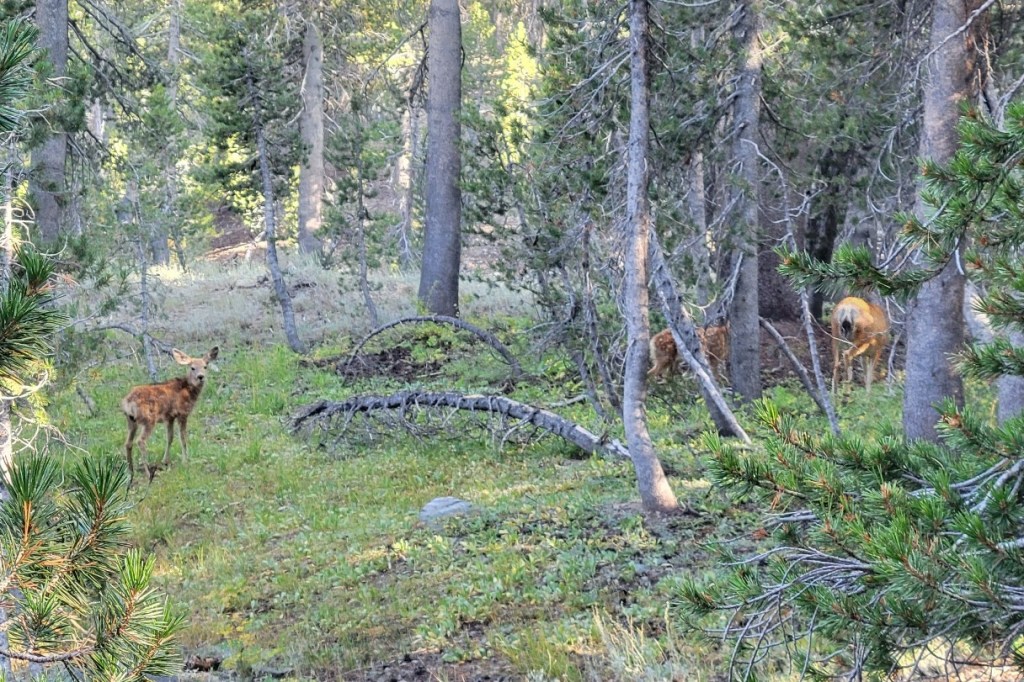
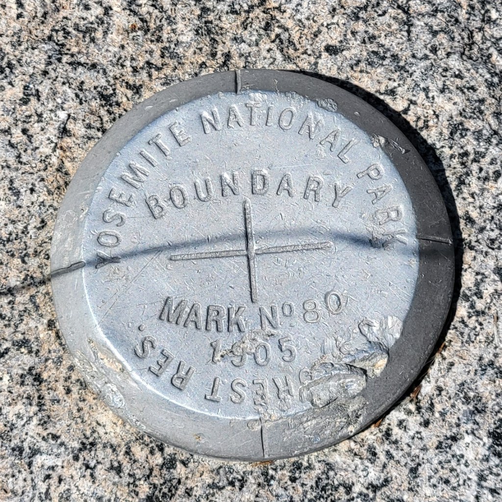
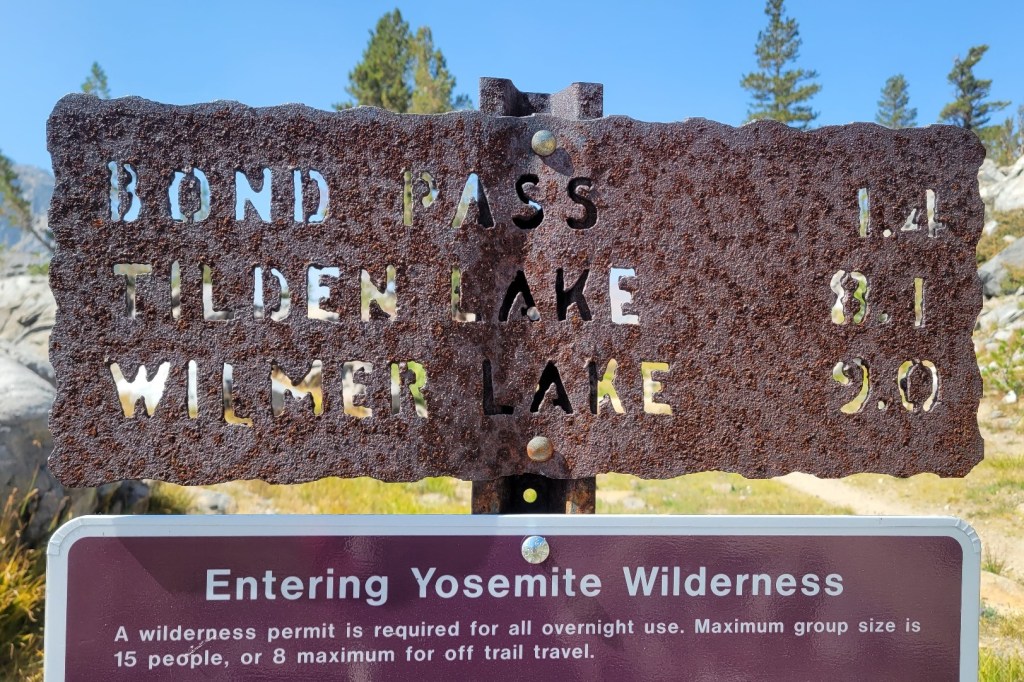
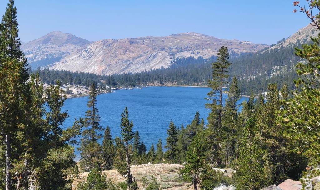
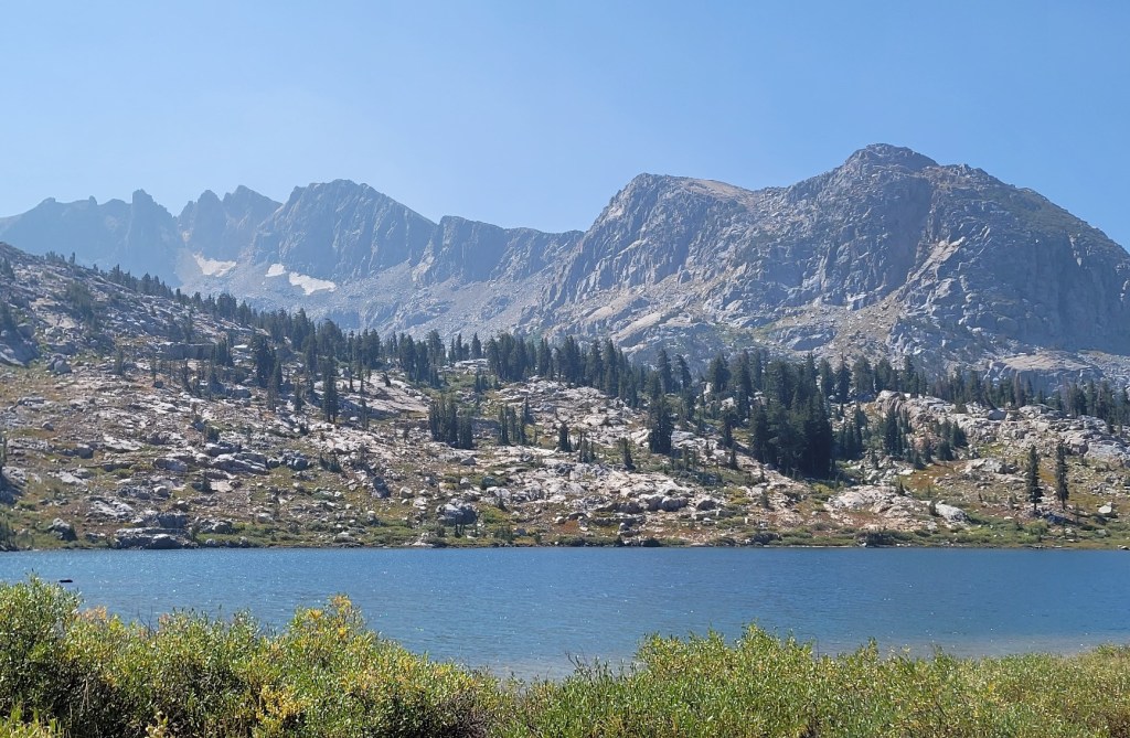
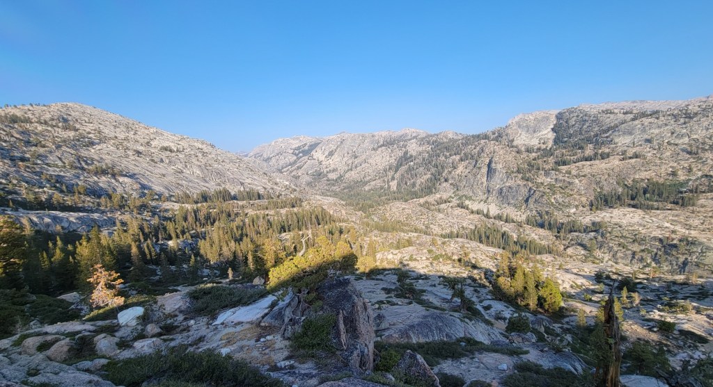
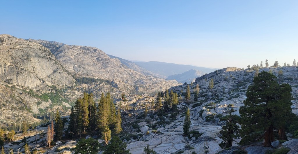
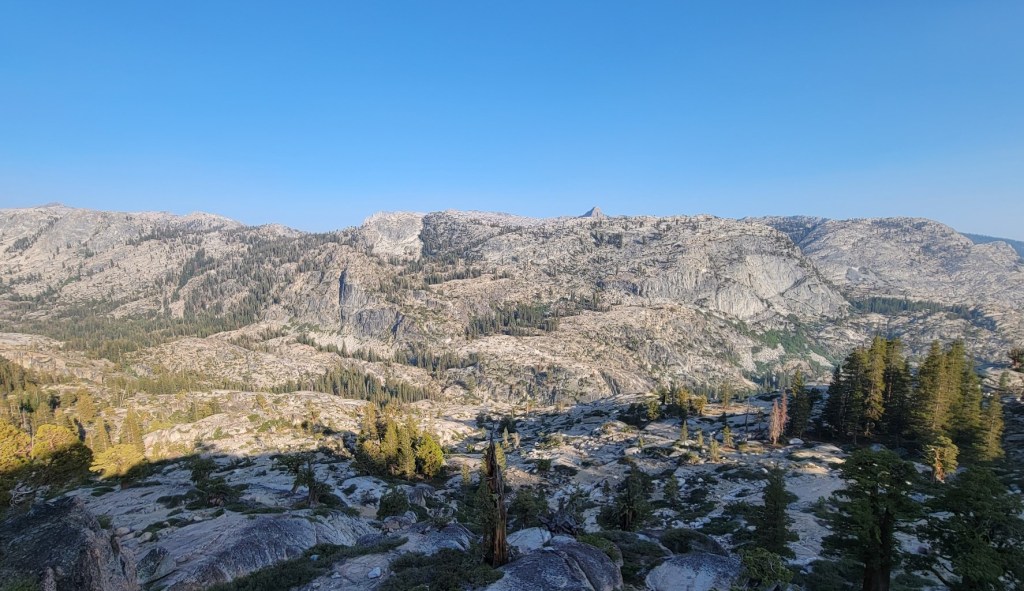
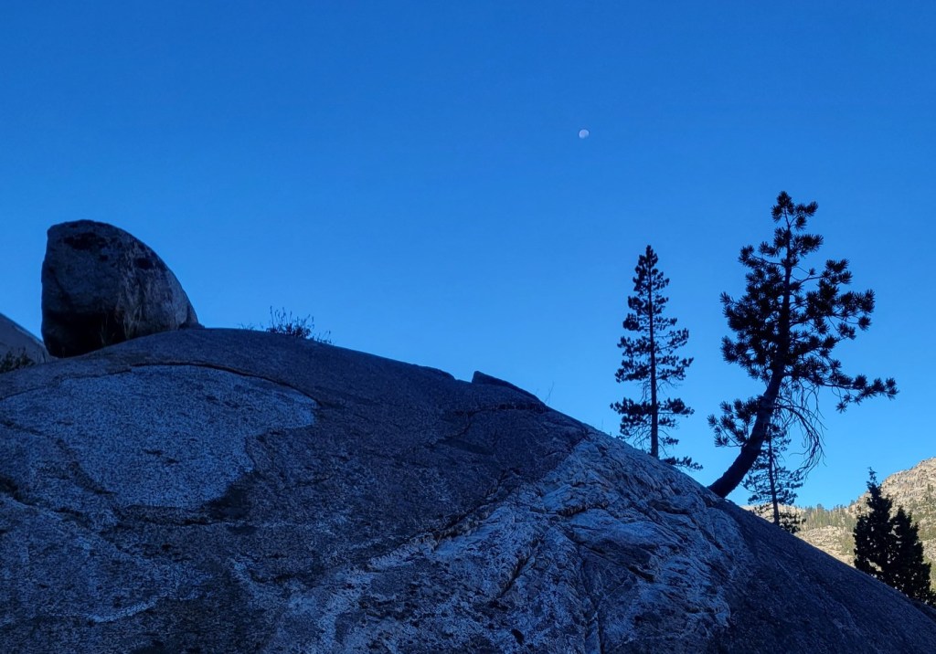
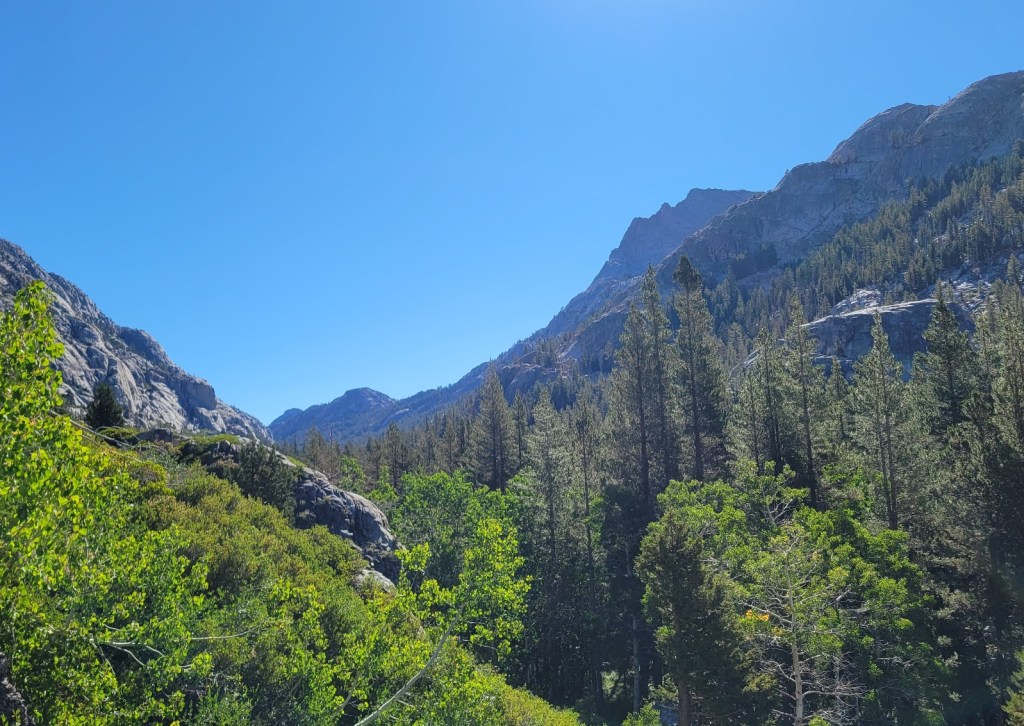
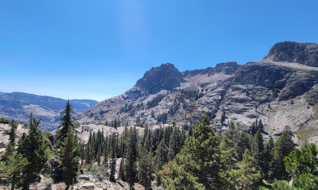
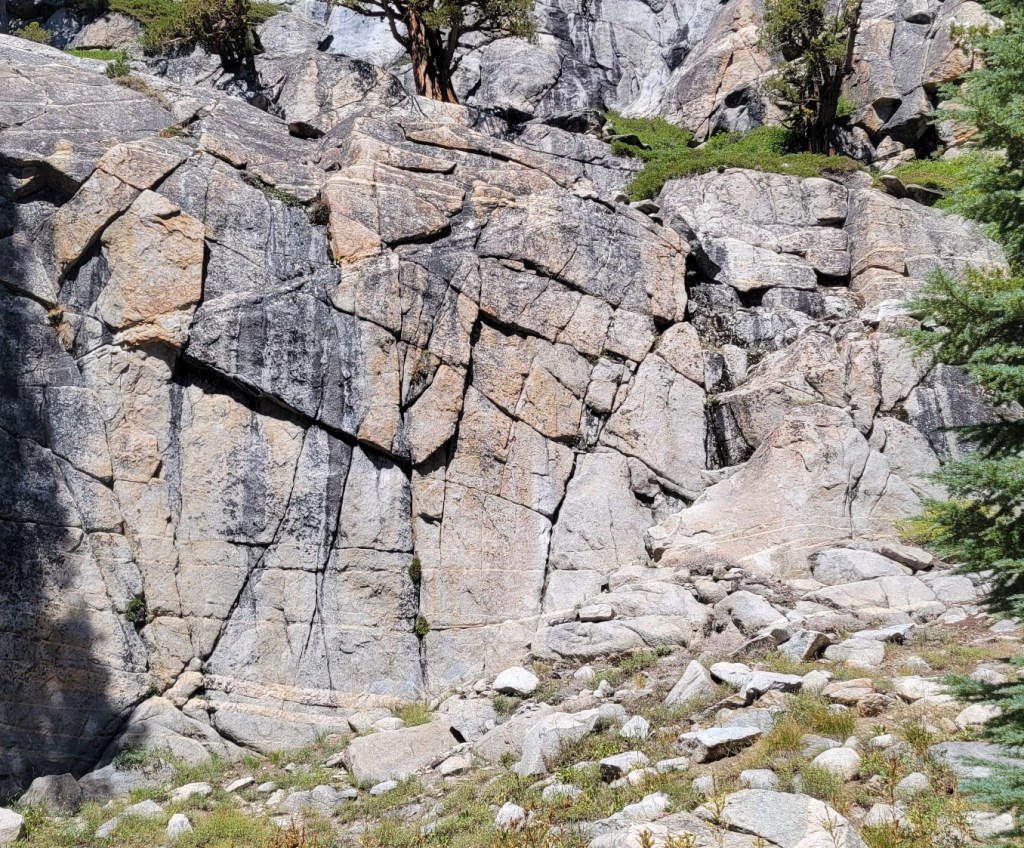
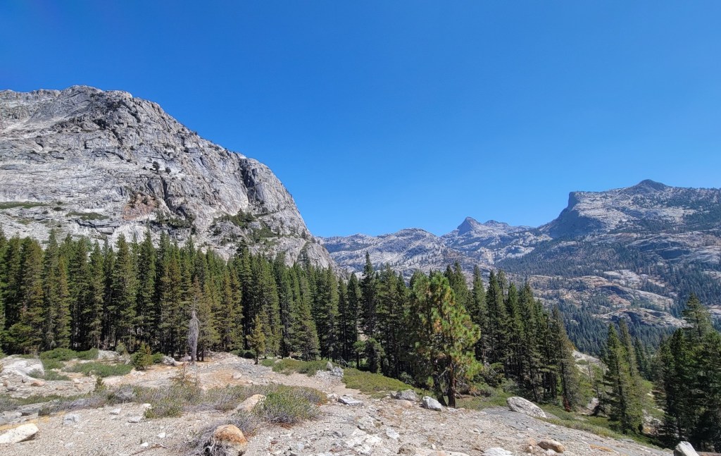
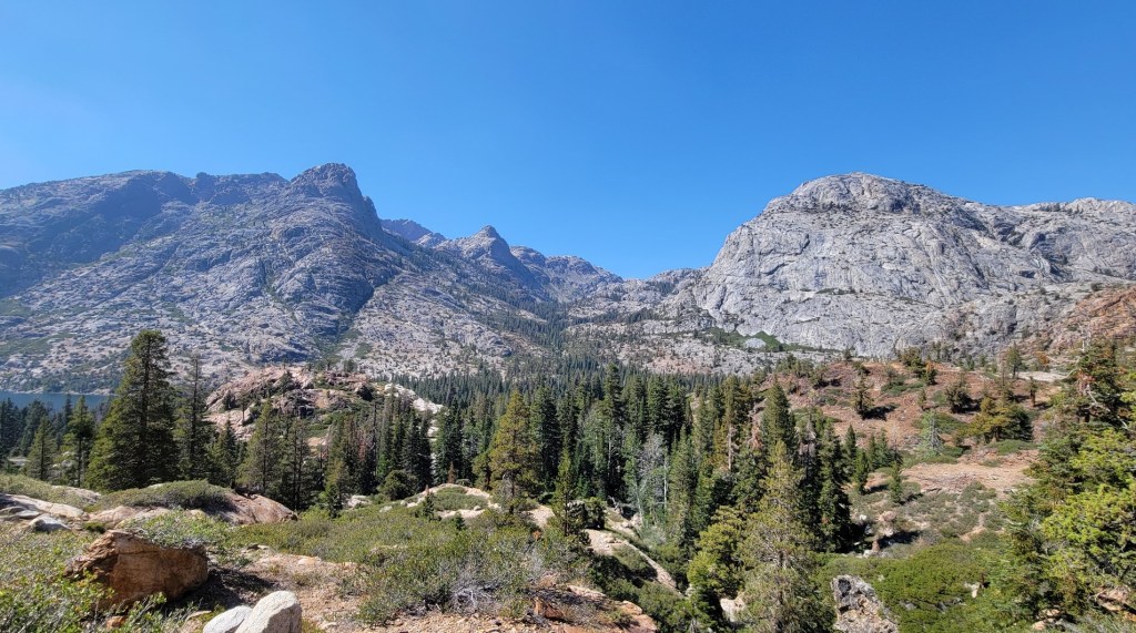
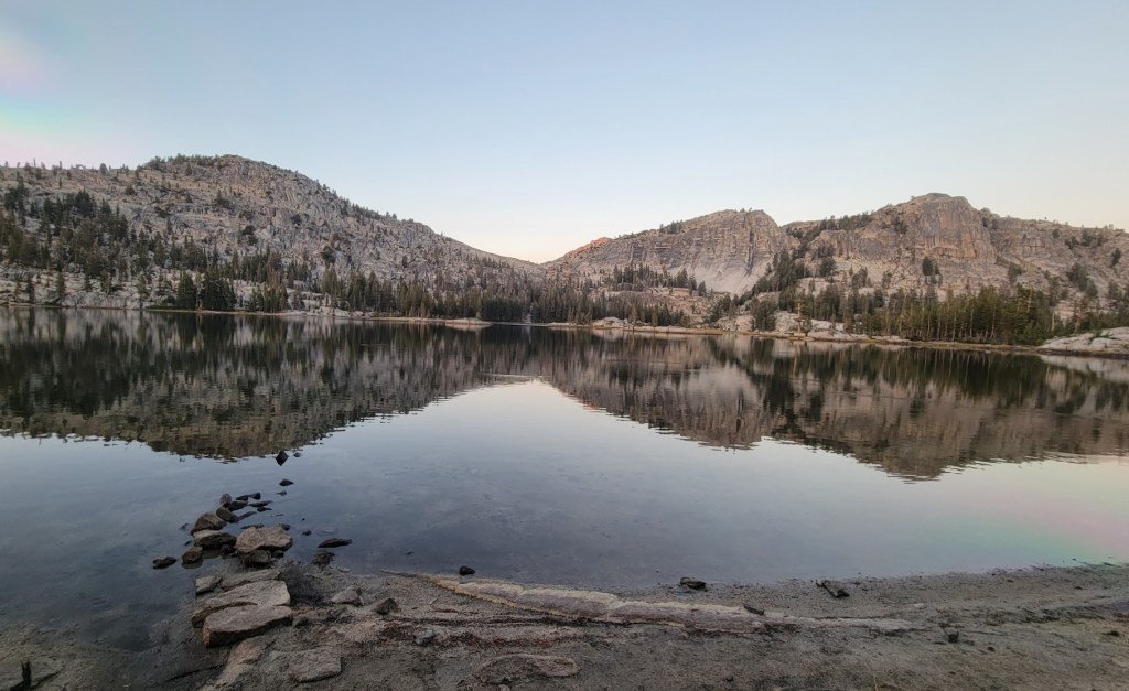
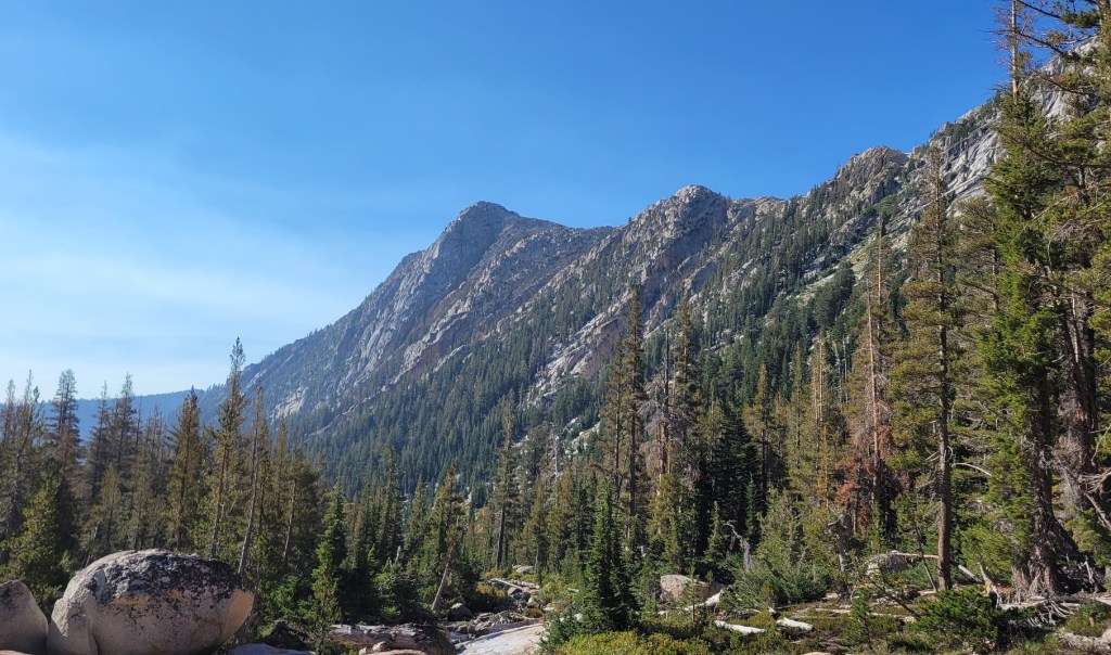
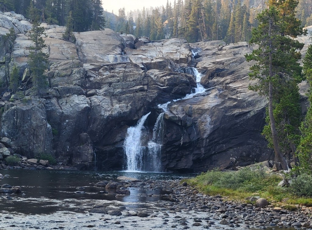
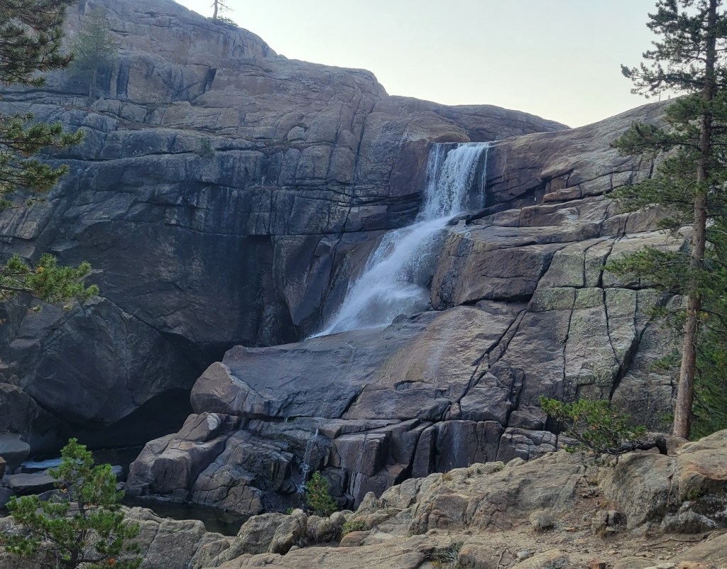
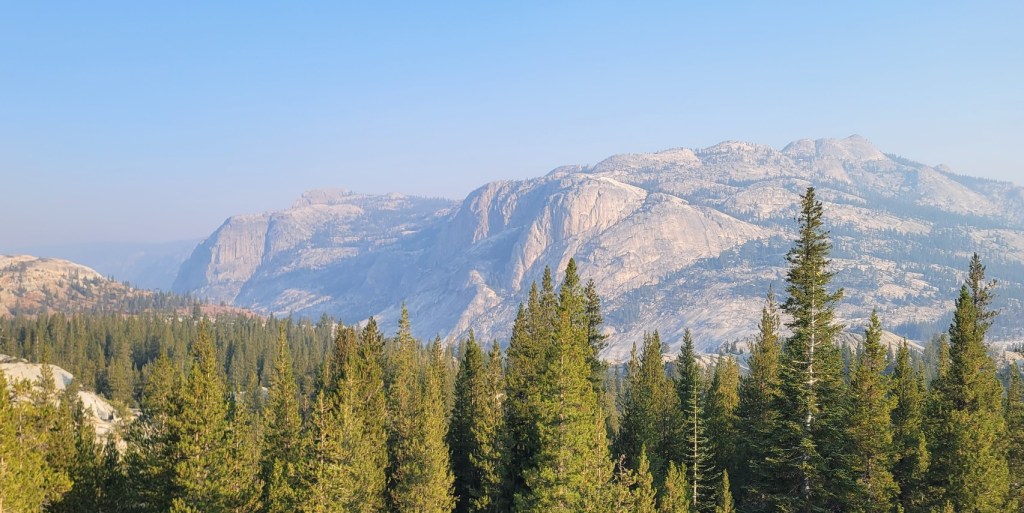
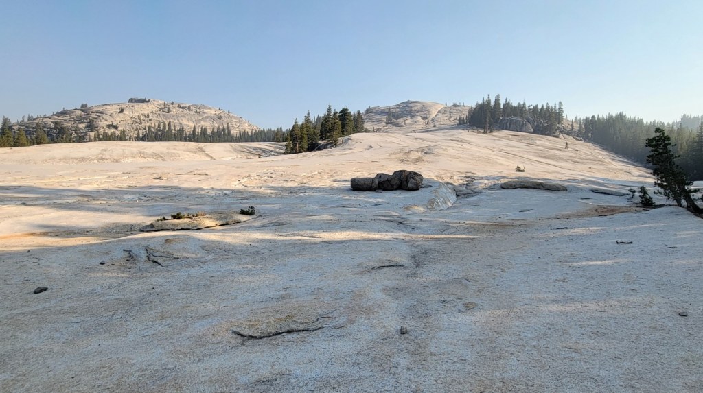
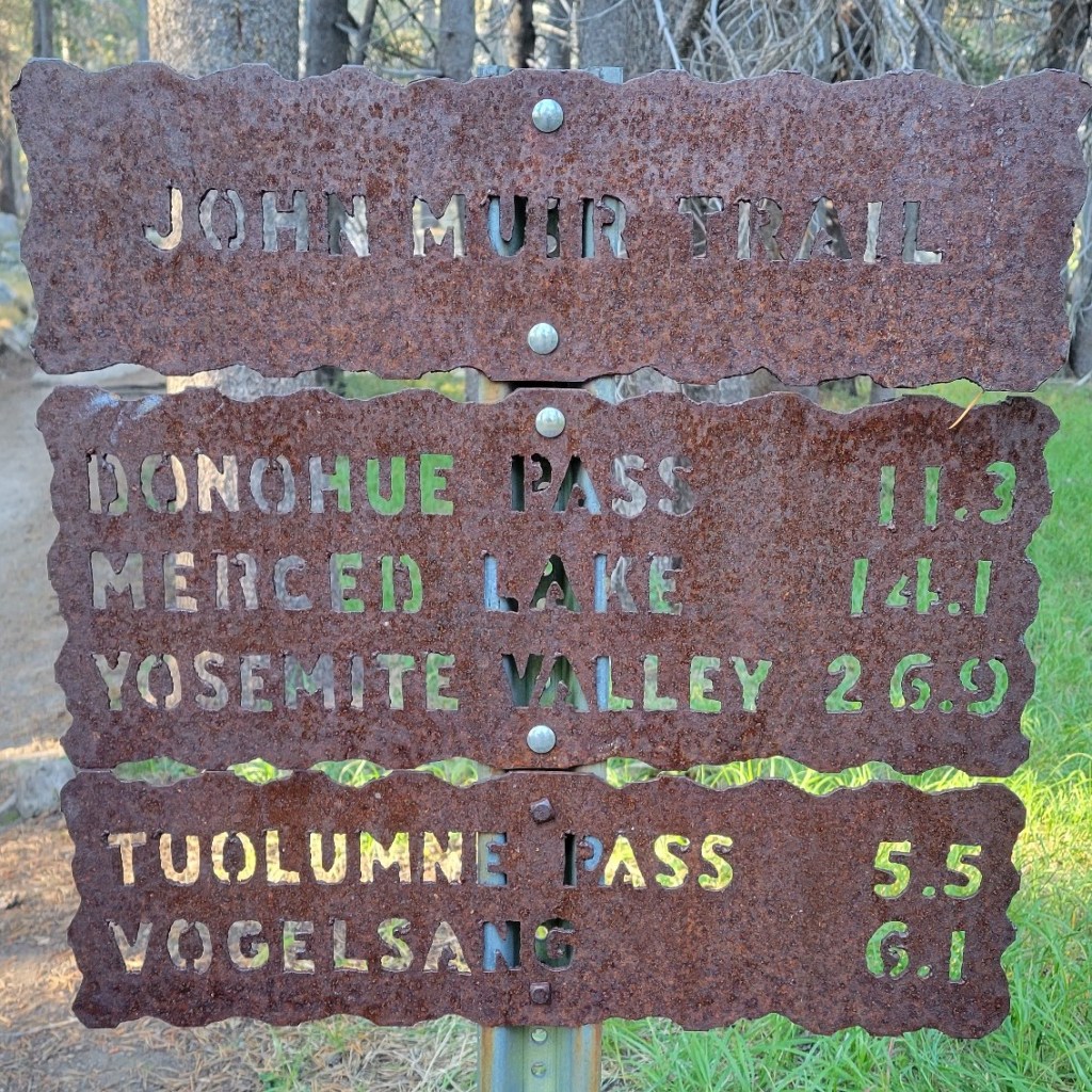
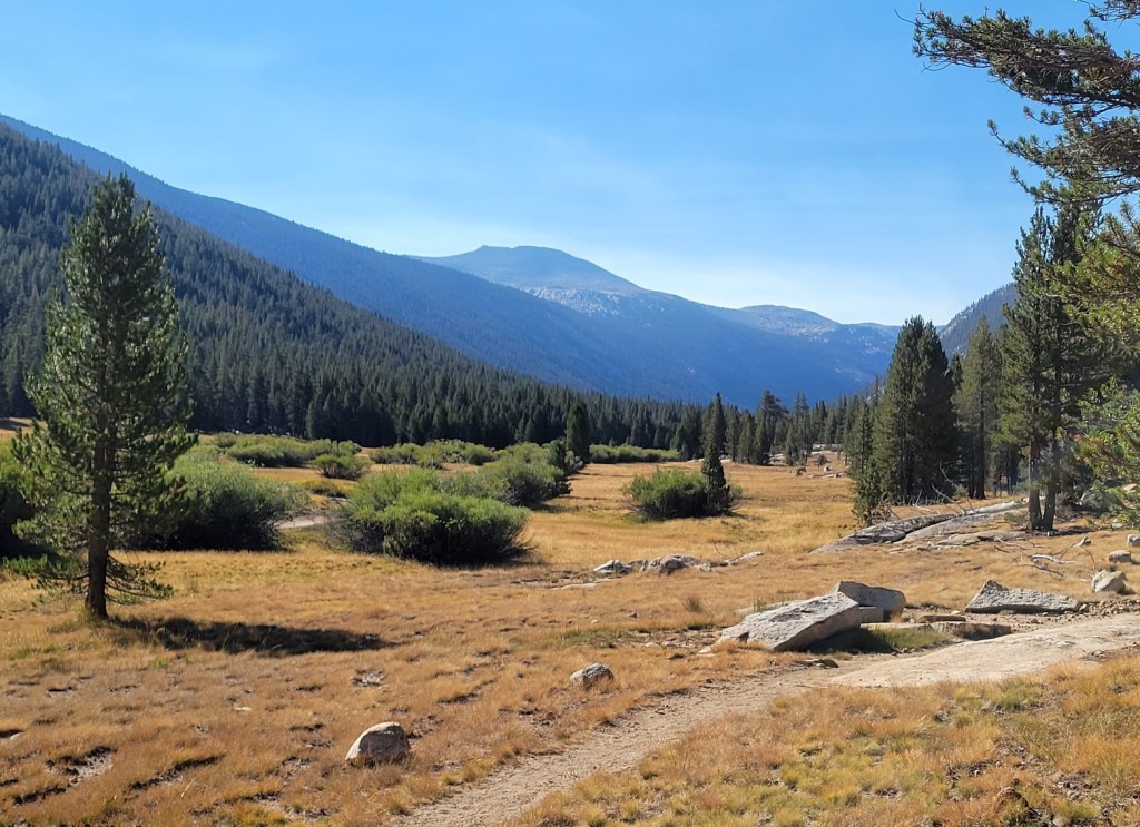
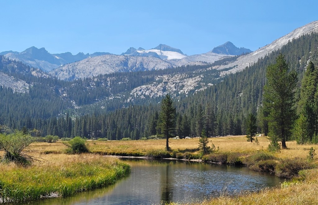
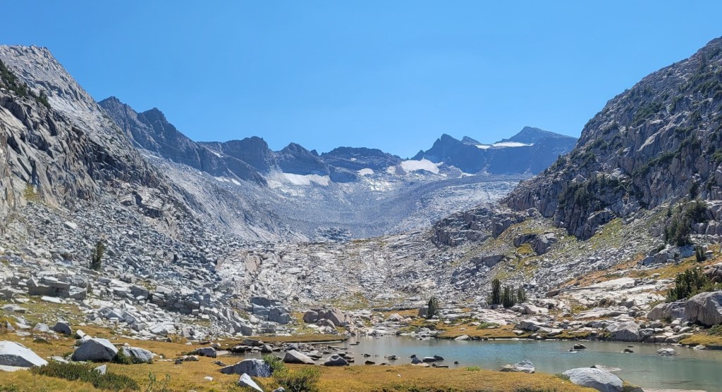
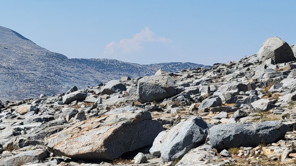
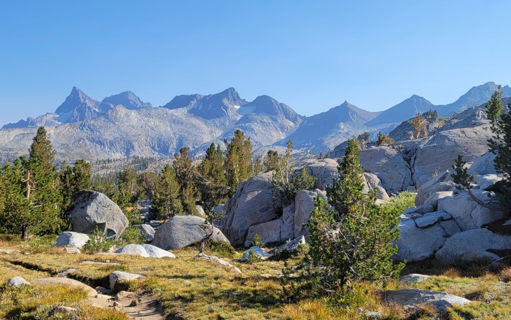
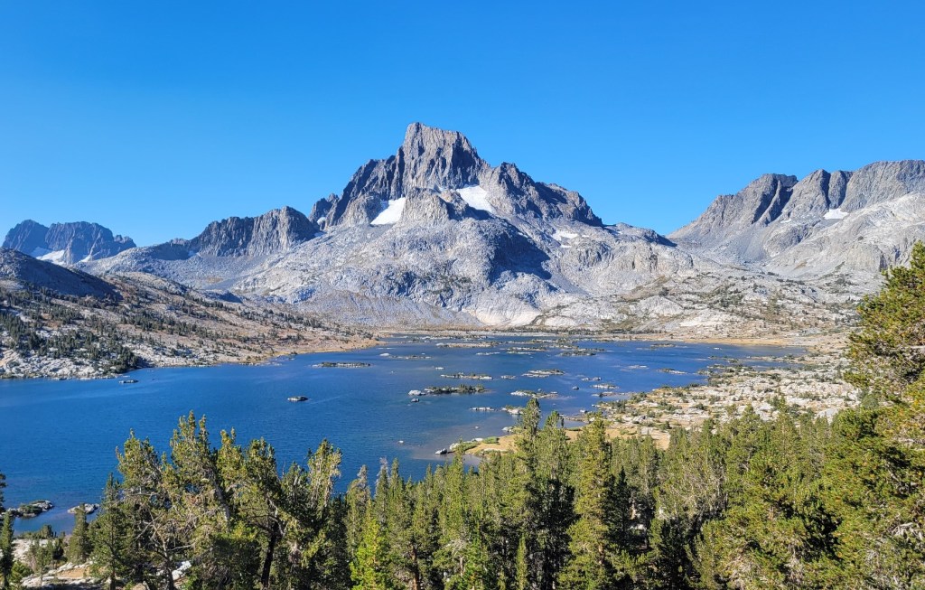
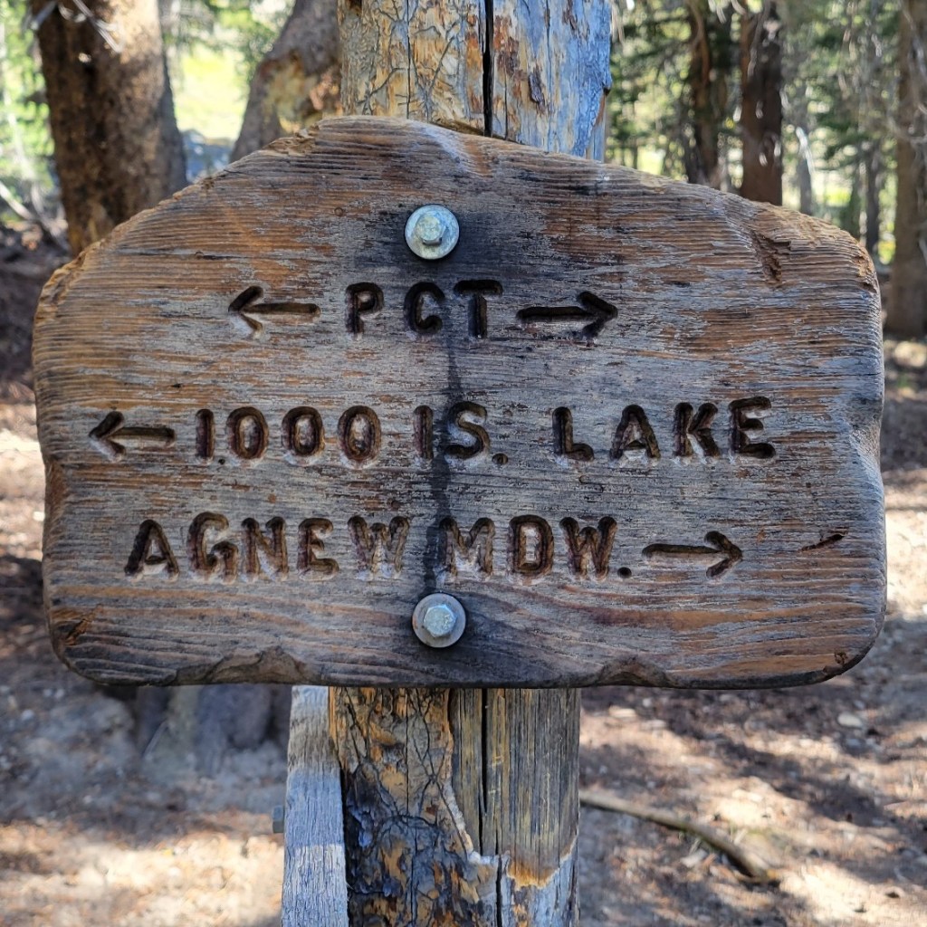
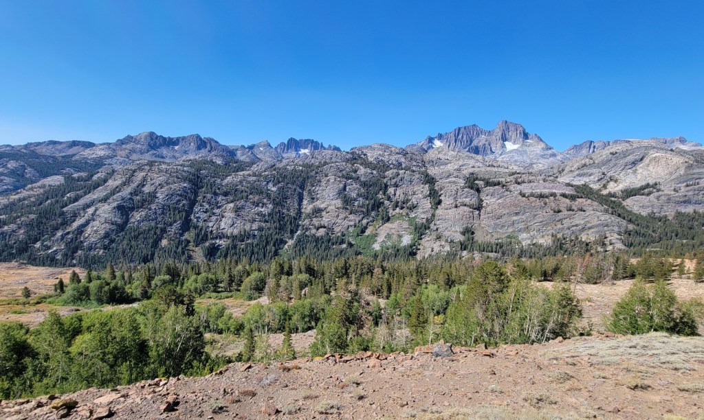
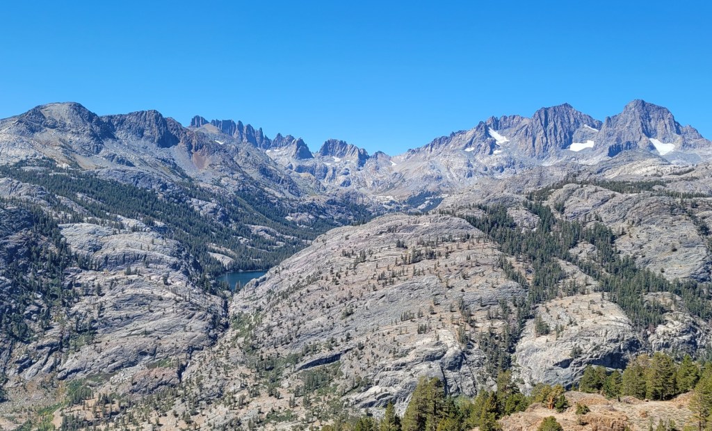
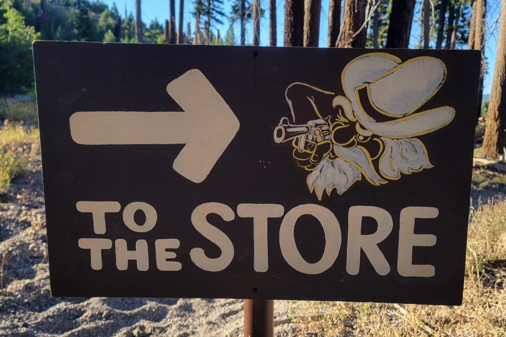
Smoky haze near Sierra City. A theme of this section due to the Dixie Fire and the Caldor Fire.PCT bridge over the Yuba River near Sierra CitySmoky haze obscuring the afternoon sunAbandon hope all ye who enter here. My assumption is that X-7A is a logging subdivision.A Sierra Club X-Country Ski HutPCT underpass beneath I-80 at Donner PassOld section of Union Pacific RR near Donner Pass. The concrete walls and roof were to keep the snow off in the winter.I looked over the edge. The drawing does accurately represent the slope involved.South of Donner Summit (US Route 40)Sierra Club Benson Hut. I spent the night here. The only shelter I’ve used during my hike so far.The hiker himselfInside the Benson Hut. Note the tri-level bunks to the right.Rocks, rocks, and more rocksGrouseSquaw Valley Ski AreaSomeone left this painted rock at a campsite I used.The Desolation Wilderness near Lake Tahoe is beautiful. Mostly granite and glacial lakes. Because of this, the Caldor Fire has not been able to burn into it.The view looking north from Dicks Pass in the Desolation Wilderness. That’s Dicks Lake below.The view looking southwest.The white stuff is ash from the Caldor FireLake Aloha, Desolation WildernessIn case you’re wondering how far it is from your current mental state to desolation. Only three miles. But at least there’s a water taxi.Echo Lake near Lake Tahoe, looking west. Some of the southern shore (left) has since burned. The northern shore (right) has not. There are boat-in cabins on both sides of the lake.Lots of ashBecause of the Caldor Fire, I had to skip 15 miles of trail from Echo Summit (US Route 50) to Carson Pass (CA Route 88).The trail south of Carson Pass. Beautiful despite the smoky haze.Rough going for a tree at this altitude in winterNot much easier for a signAmerican flag flying on top of Ebbetts Peak (CA Route 4). Someone may have hiked it up, but my guess is that the flag pole was flown up by helicopter.Two trees, weathered but survivingThe PCT from Ebbetts Pass to Sonora Pass is also amazingThe trail south of Sonora Pass was my favorite section so far. A true “but wait, there’s more” experience as you cross saddle after saddle and look into different pristine wilderness basins.One deer to the left. Two in the trees to the right, including mother deer far right.Entering Yosemite National Park at Dorothy Lake PassAfter Wilma Lake, the trail gets particularly difficult. The trail is heading east/west and you have to cross over four or five different north/south creeks which drain into the Tuolumne River. Between each creek is a ridge to climb and then descend.Moon during the dayI camped beside this lake one night.Waterfall on the Tuolumne RiverAnother waterfall on the Tuolumne RiverRock slope near Tuolumne MeadowsThe PCT joins the John Muir Tail at Tuolumne MeadowsLyell Fork of the Tuolumne RiverThe climb up to Donahue Pass (11,100 feet)The view northwest from Donahue PassRocks at Donahue PassThe view east from Donahue PassAnsel Adams Wilderness, Inyo National Forest1000 Island LakeDevils PostpileReds Meadow is on the back side of Mammoth Mountain. I was forced off the trail here by the blanket closure of all National Forests in California.
LikeLoading...
Related
Published by
Andrew Carter
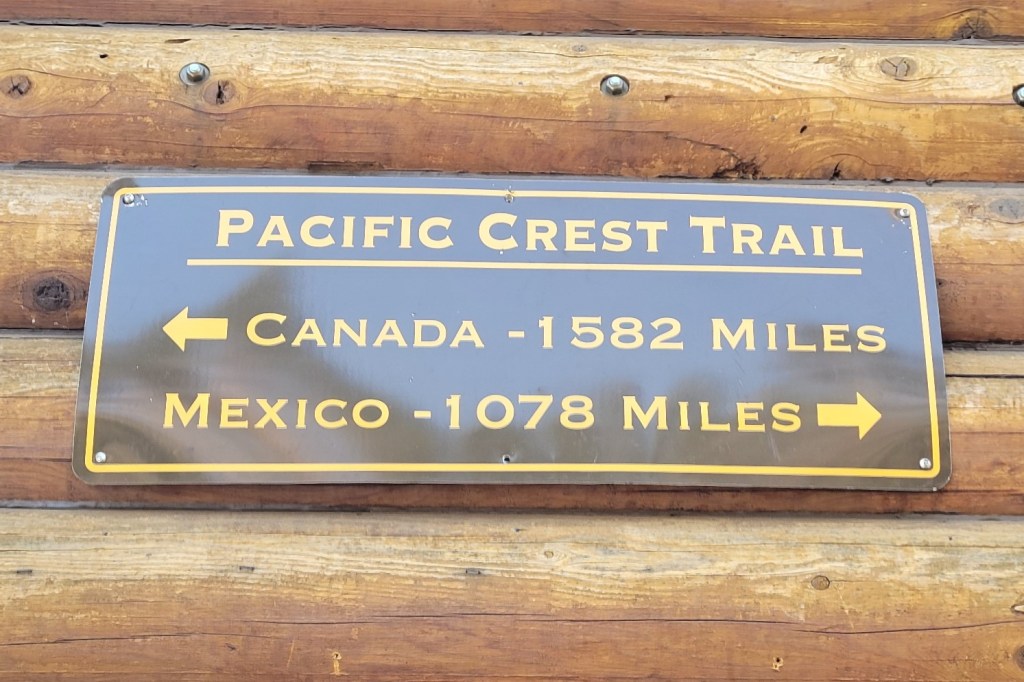
I just completed a multi-year thru hike (MYTH) of the Pacific Crest Trail (PCT). It took three years. I hiked 1840 miles in 2021, 733 miles in 2022, and 122 miles in 2023. The only reason I had to hike in 2023 was a wildfire closure at the north end of the PCT in 2022. During the past two years, I've also thru hiked other, shorter US trails. I hiked the Benton MacKaye Trail (GA, NC, TN) and the Tuscarora Trail (VA, WV, MD, PA) in 2022 plus the Ozark Highlands Trail (AR) in 2023. I hope to hike the Long Trail (VT) next year and the Colorado Trail at some point in the future. Please note, all content on this site is copyright.
View all posts by Andrew Carter


Spectacular Photographs!! What a journey.
LikeLike