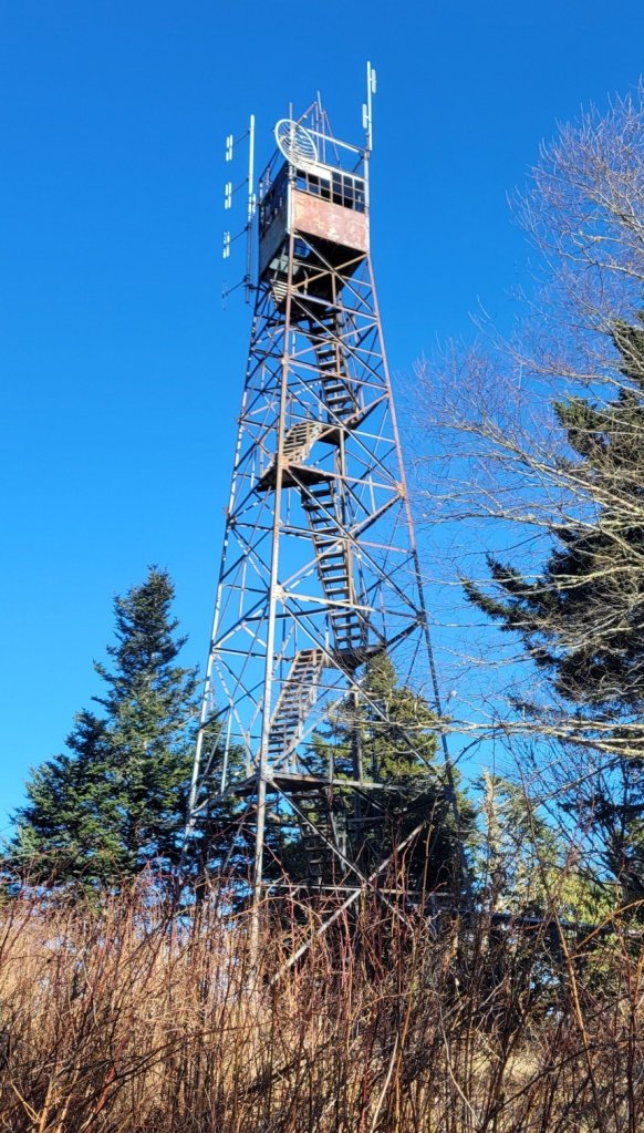
The highest point on the BMT is Mt. Sterling, near the north end of Smokey Muntain National Park. The mountain is about 5850 feet tall. There’s an abandoned fire tower on it, which you can climb to get a 360-degree view. Here’s a picture of the tower and two videos showing the view.
North and EastSouth and West
LikeLoading...
Related
Published by
Andrew Carter
I just completed a multi-year thru hike (MYTH) of the Pacific Crest Trail (PCT). It took three years. I hiked 1840 miles in 2021, 733 miles in 2022, and 122 miles in 2023. The only reason I had to hike in 2023 was a wildfire closure at the north end of the PCT in 2022. During the past two years, I've also thru hiked other, shorter US trails. I hiked the Benton MacKaye Trail (GA, NC, TN) and the Tuscarora Trail (VA, WV, MD, PA) in 2022 plus the Ozark Highlands Trail (AR) in 2023. I hope to hike the Long Trail (VT) next year and the Colorado Trail at some point in the future. Please note, all content on this site is copyright.
View all posts by Andrew Carter
3 thoughts on “Video – Mt. Sterling”
Loved having you visit and now enjoying seeing these new images. However on the one with the fire tower, I did not see a link to two videos as mentioned. What am I missing here?

Loved having you visit and now enjoying seeing these new images. However on the one with the fire tower, I did not see a link to two videos as mentioned. What am I missing here?
LikeLike
Let me check. They must not have loaded
LikeLike
Try now.
LikeLike