c) Andrew Carter, 2022
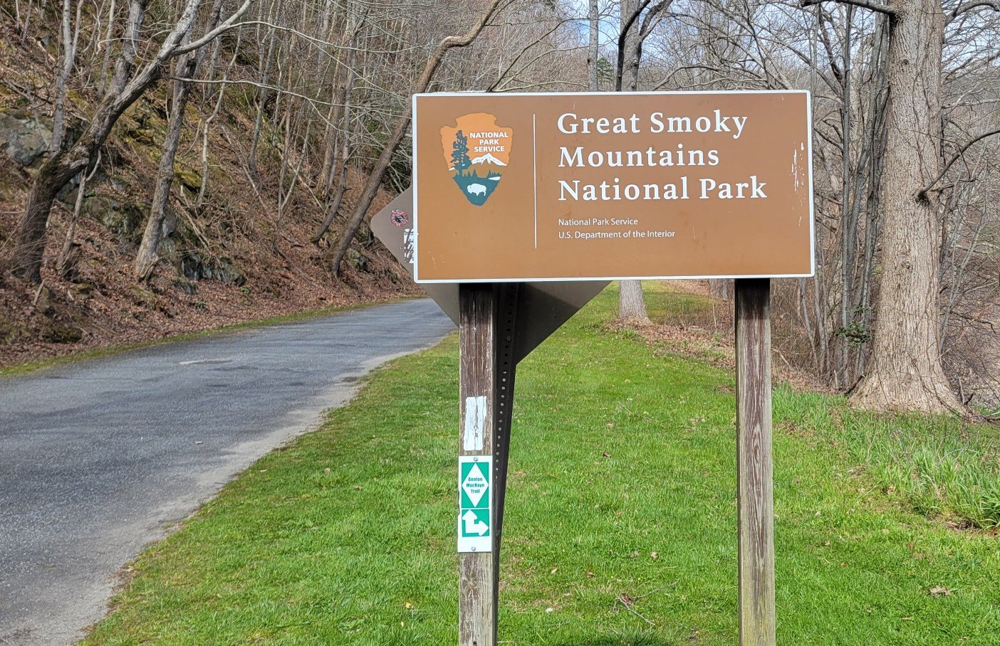
Here are photos of the BMT from Reliance, TN to the northern terminus at Big Creek, near the north end of Great Smokey Mountain National Park (GSMNP).
The BMT is 290 miles long. I was only able to hike 265 miles. I had to skip 25 miles in GSMNP due to trail closures related to wildfires. I can’t seem to escape wildfires, even in the East. It’s spring, it’s raining in the East, yet there are wildfires. Crazy.
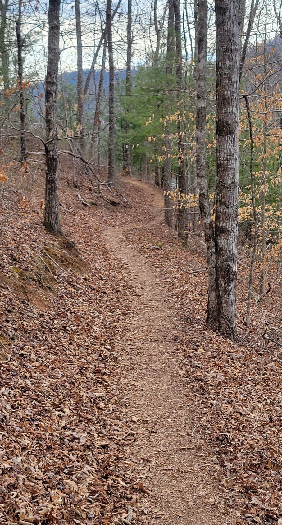
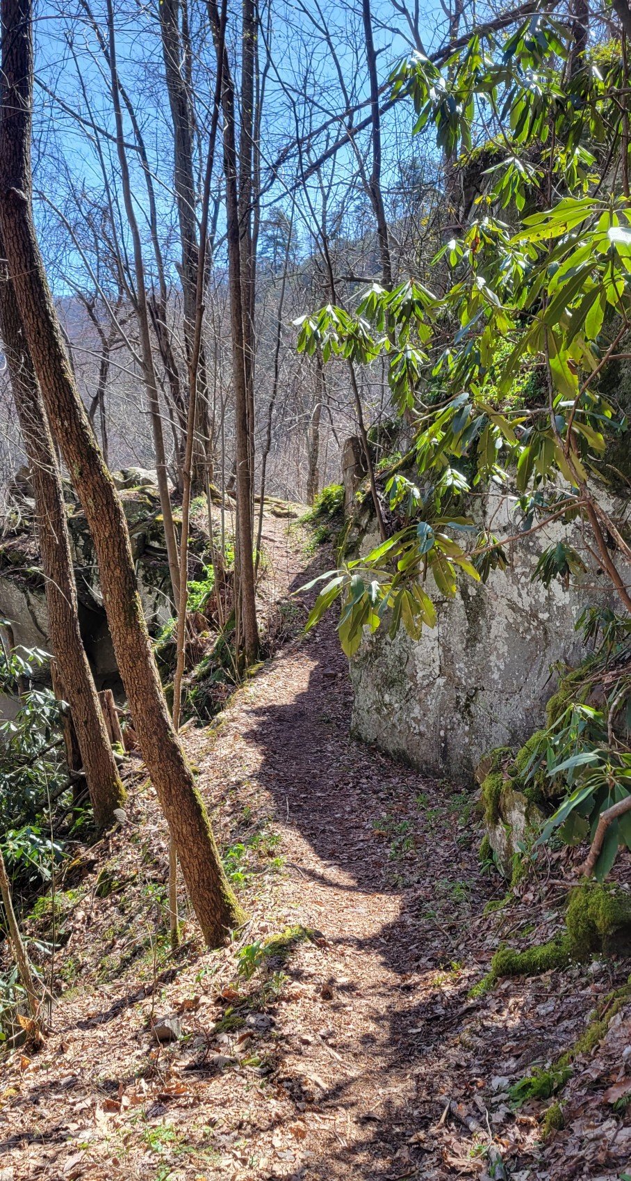
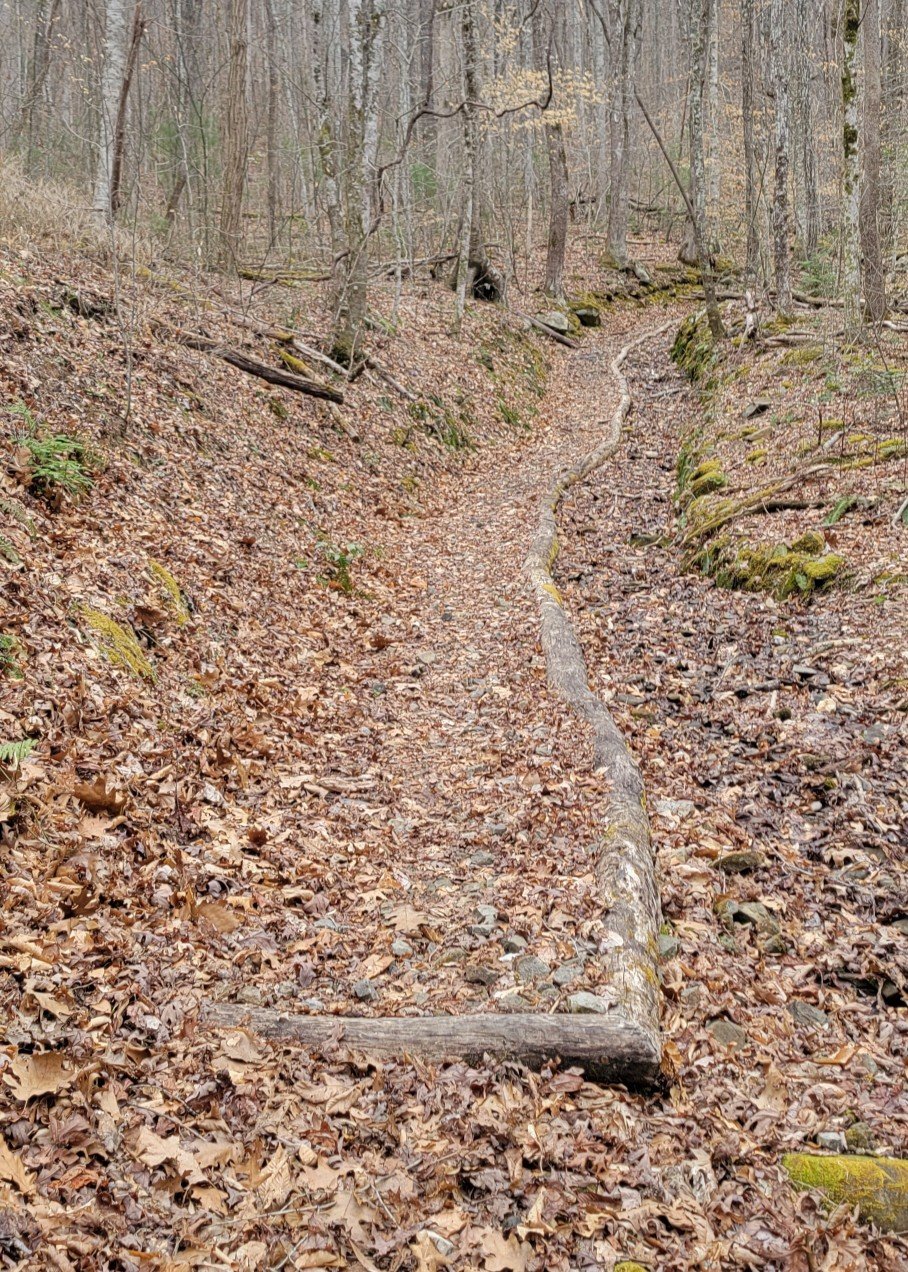
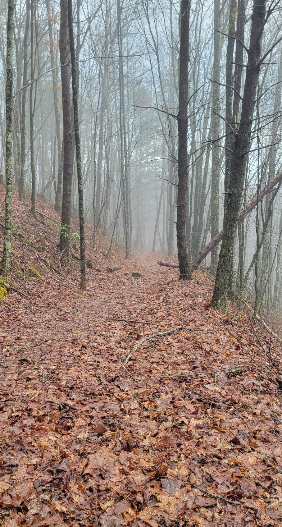
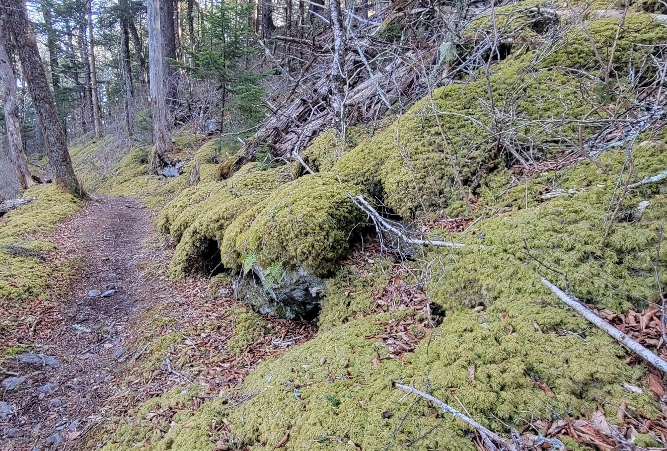
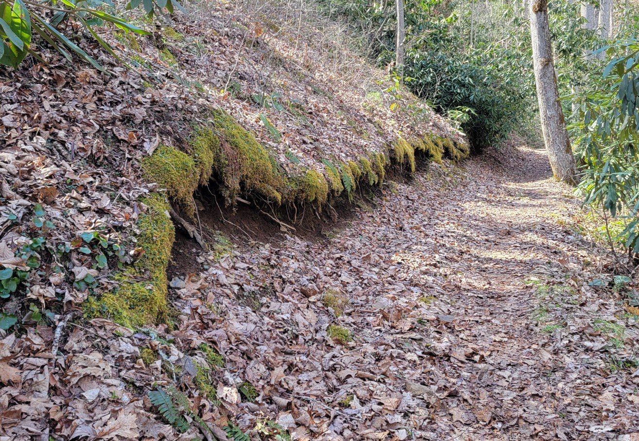
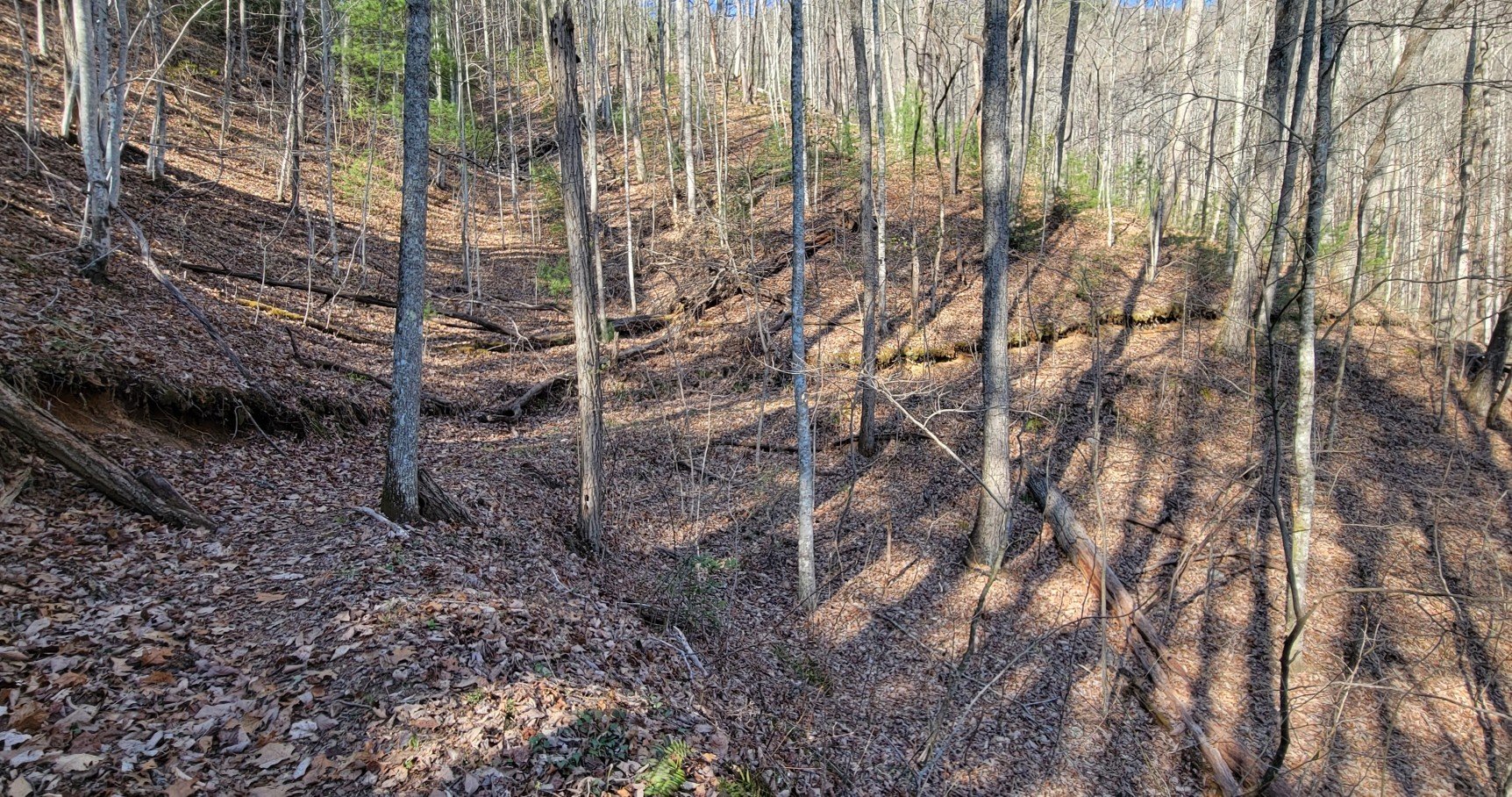
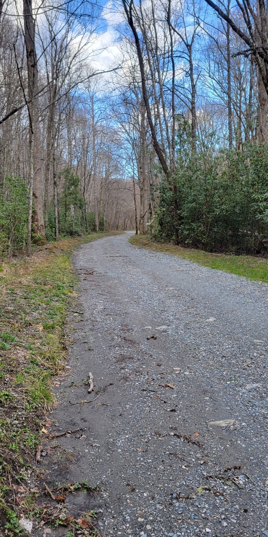
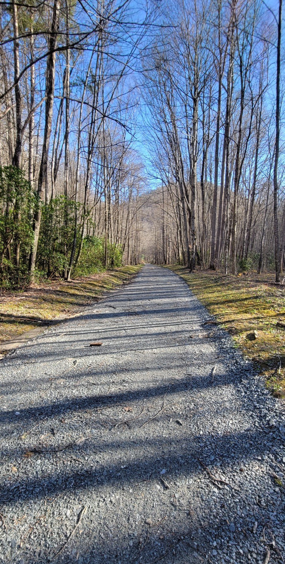
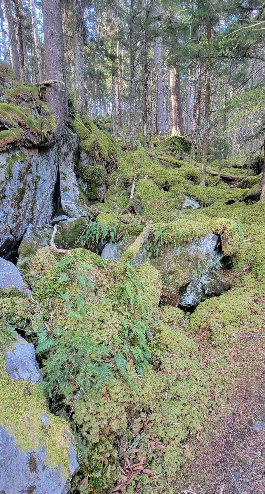
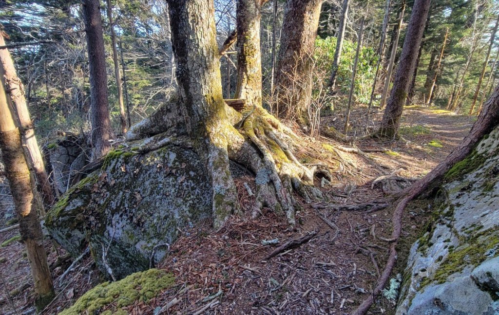
The Trail


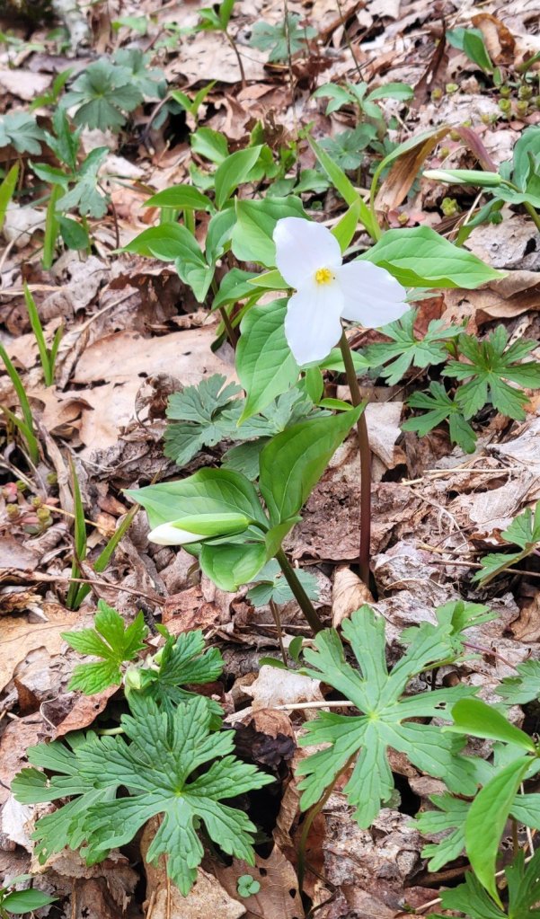
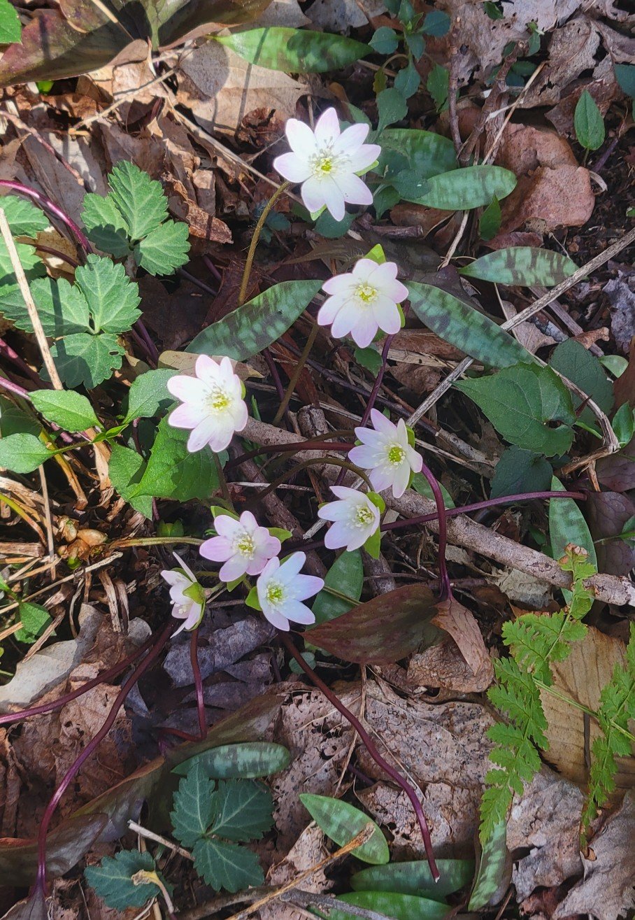
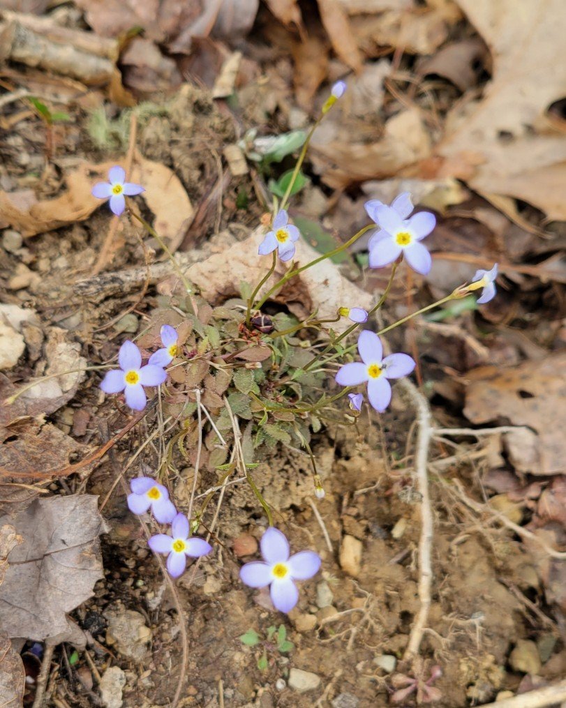
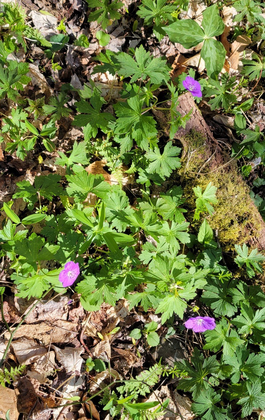
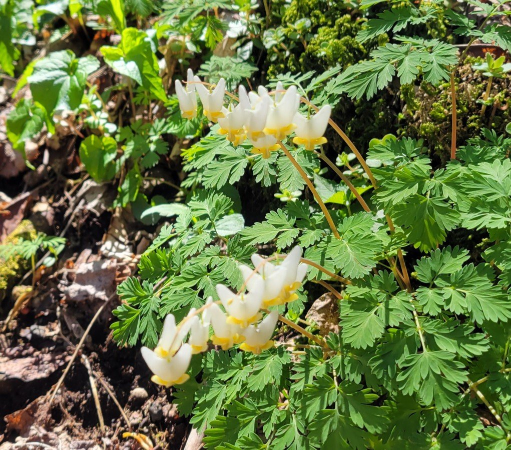
Spring Flowers


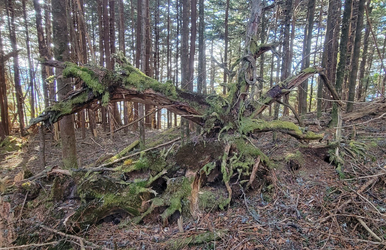
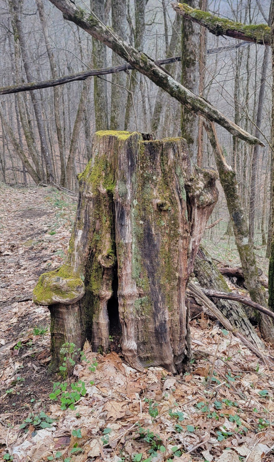
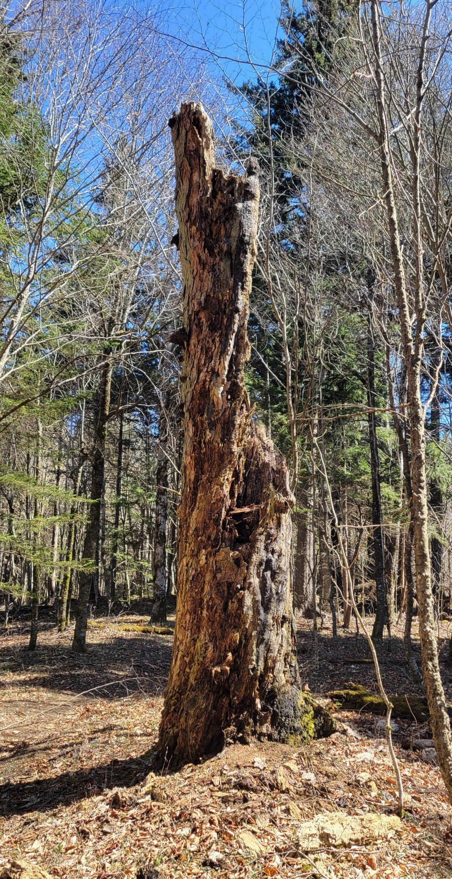
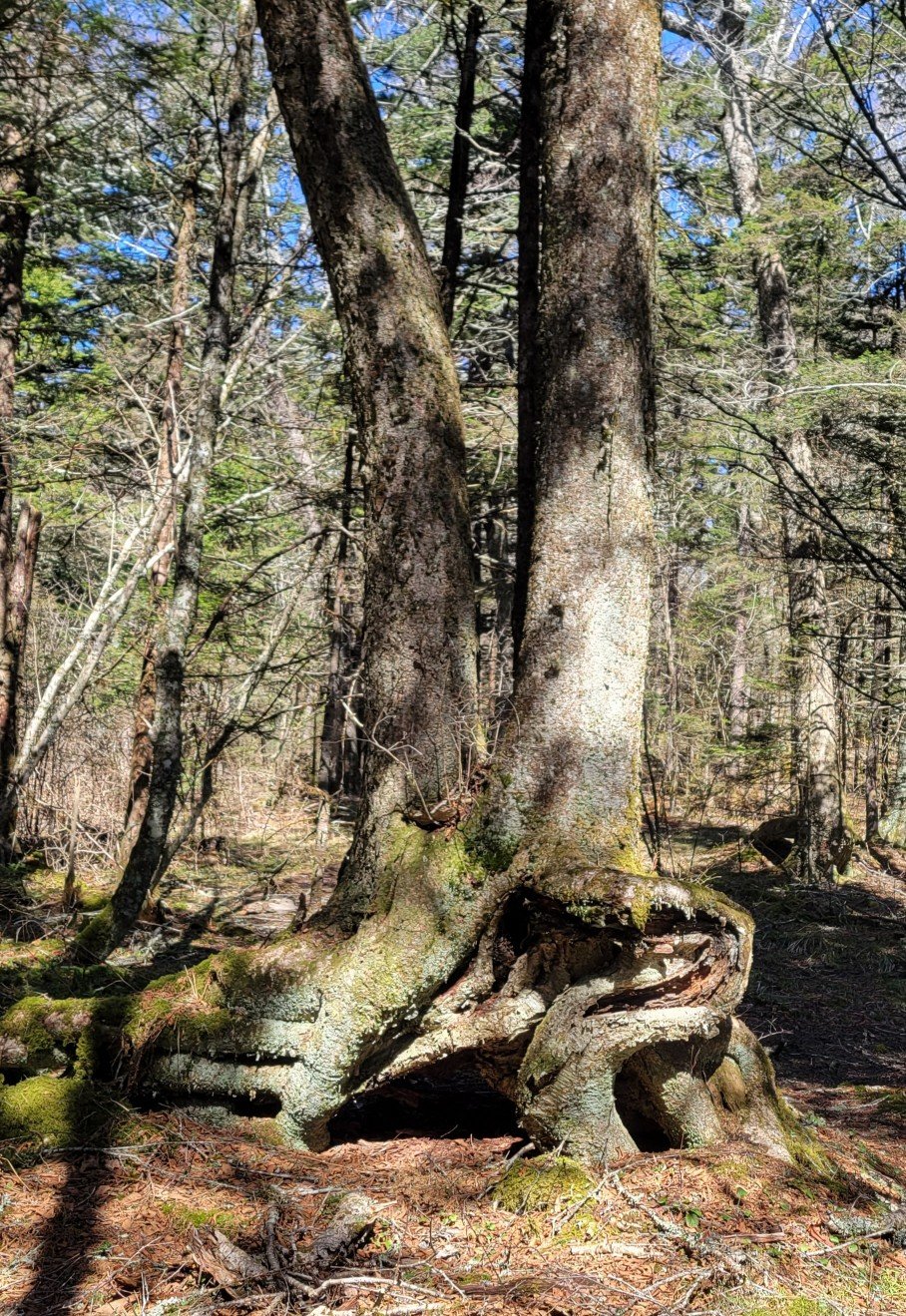
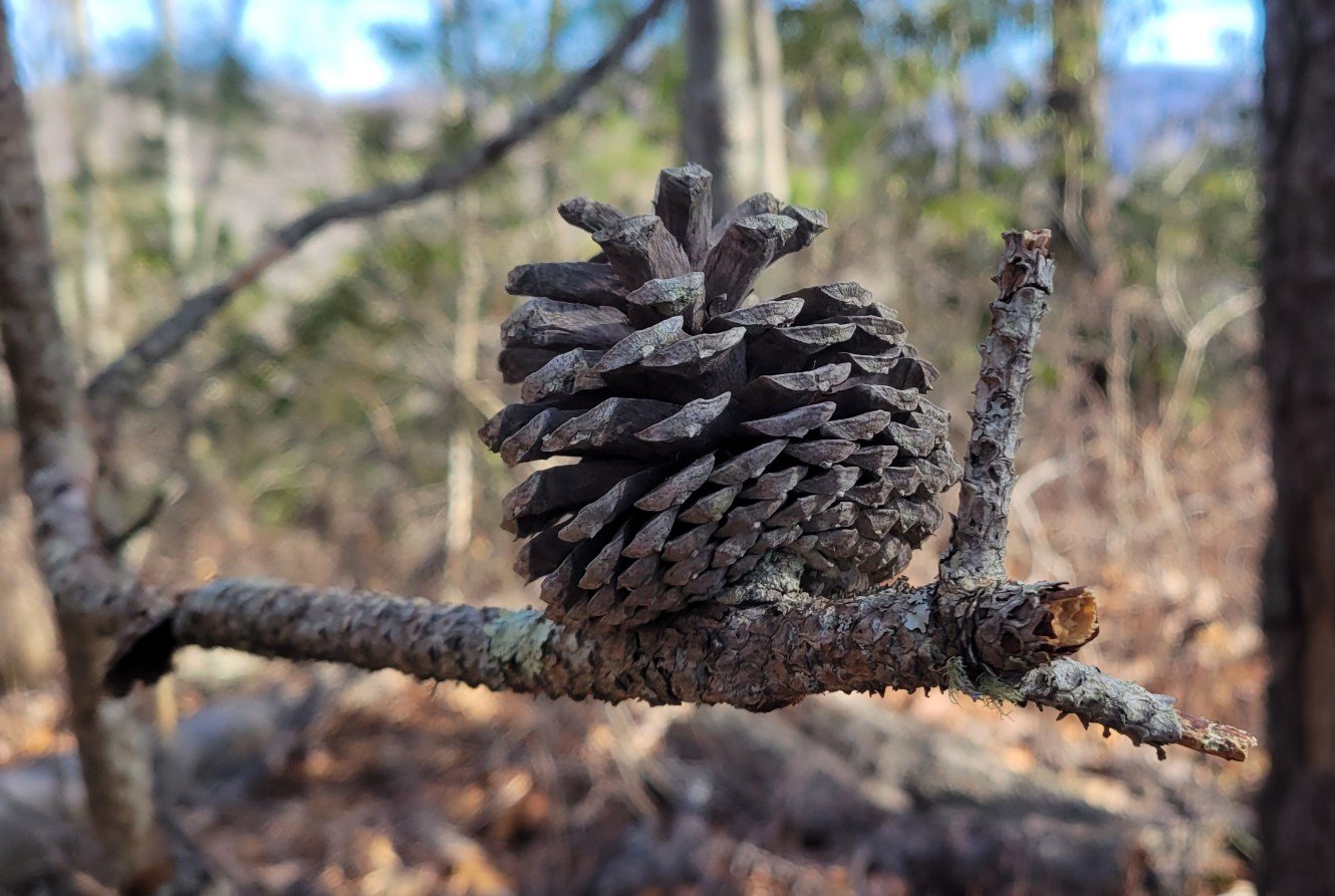
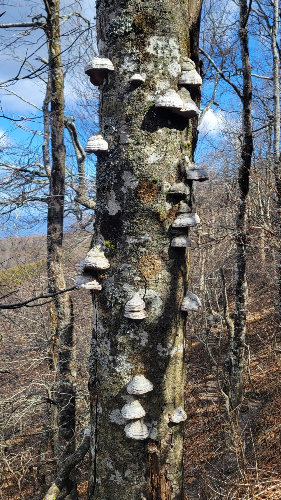
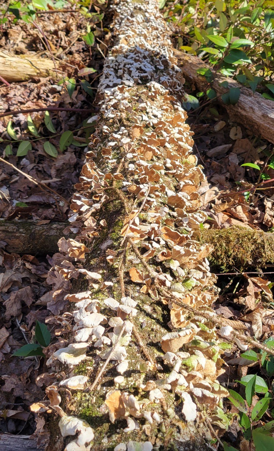
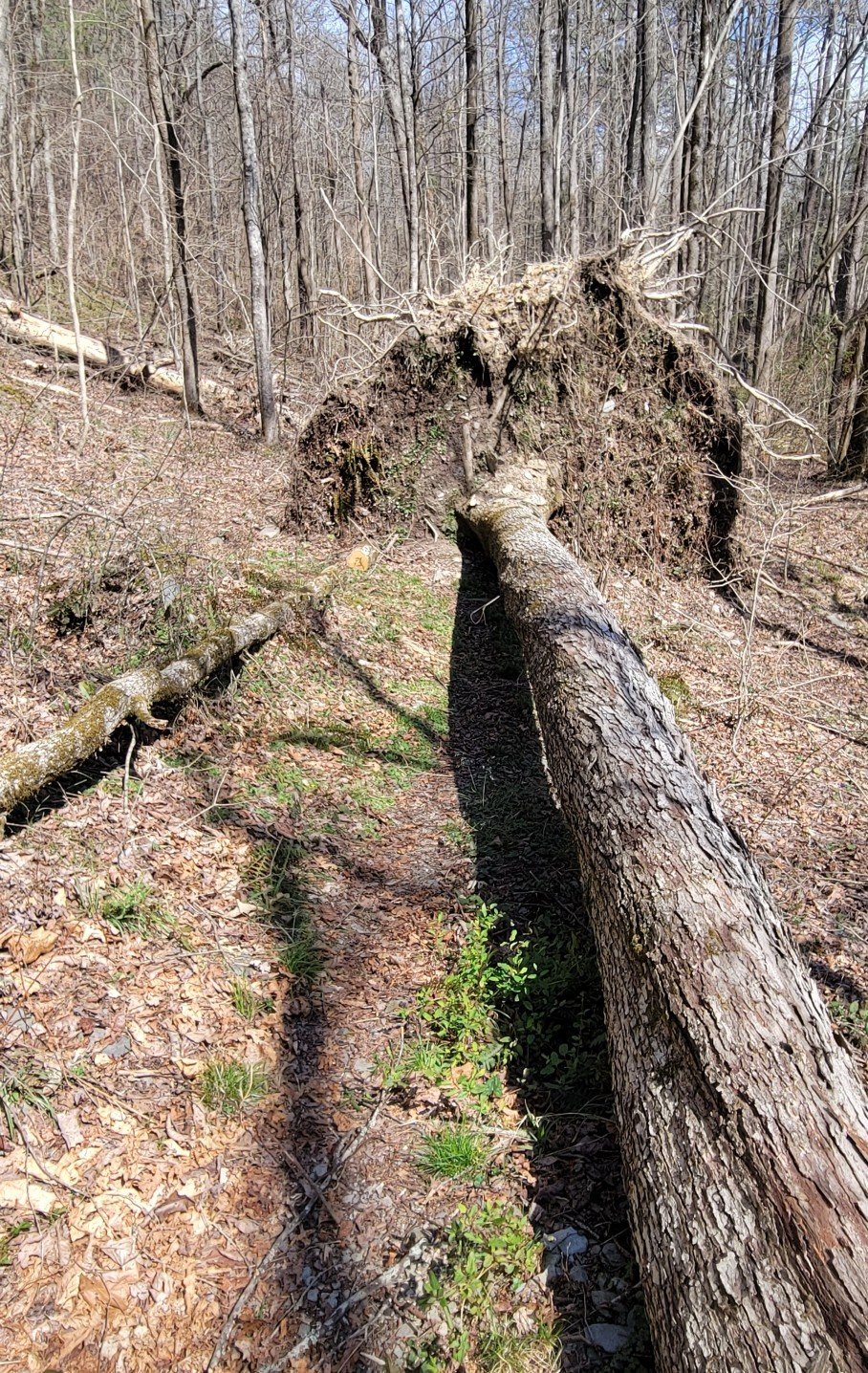
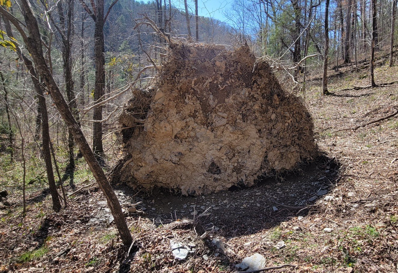
Mother Nature
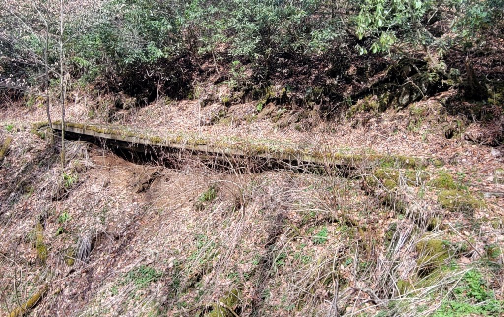
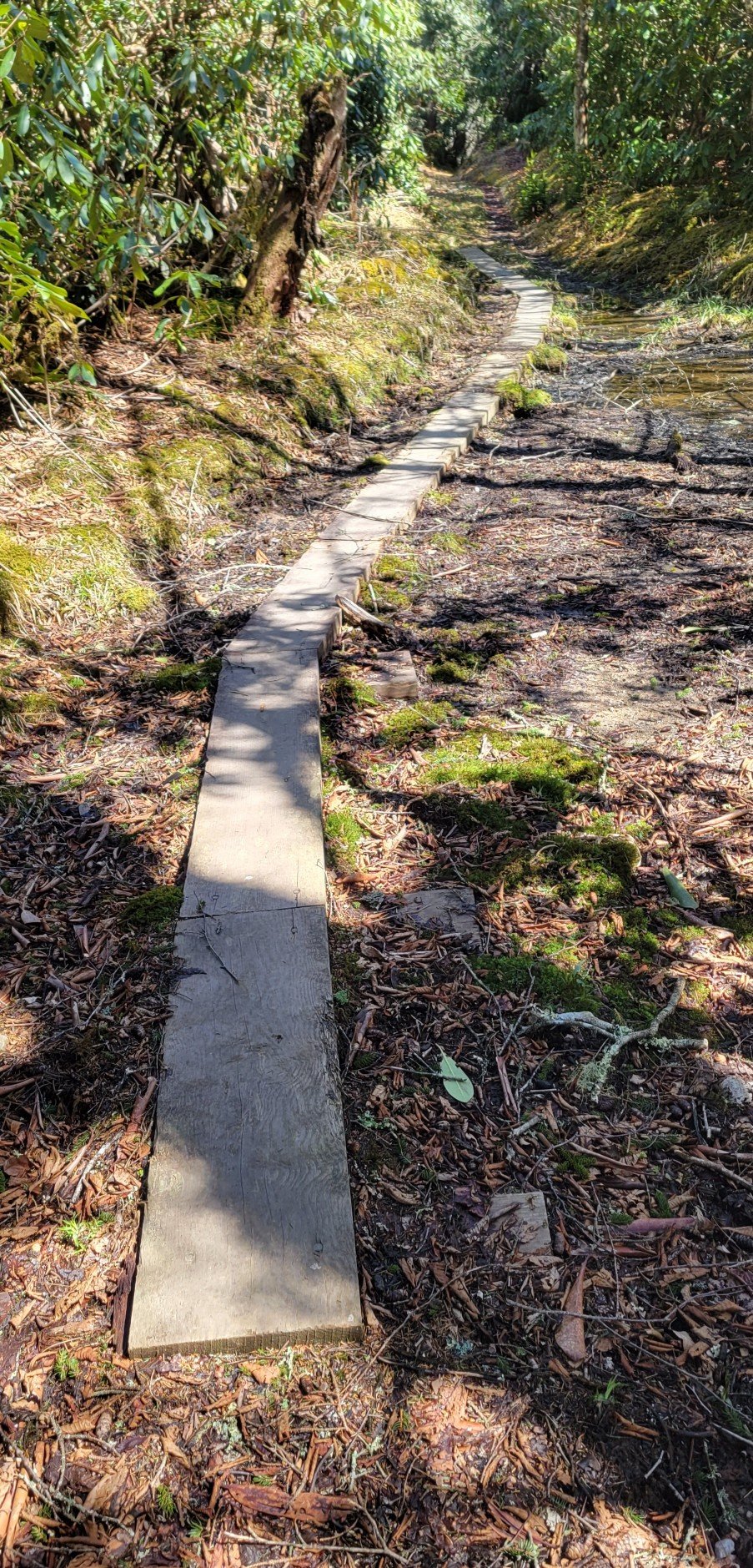
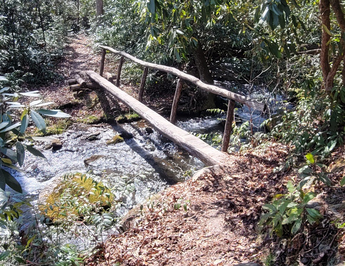
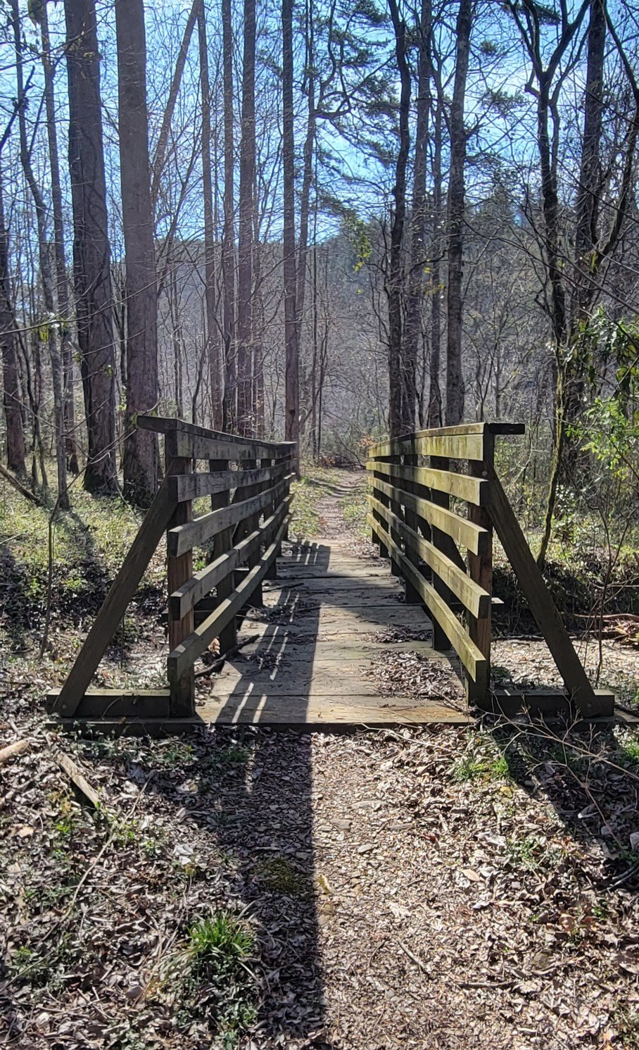
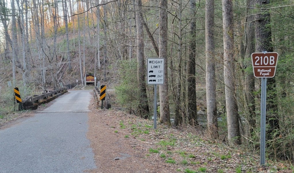
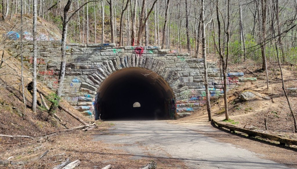
Bridges


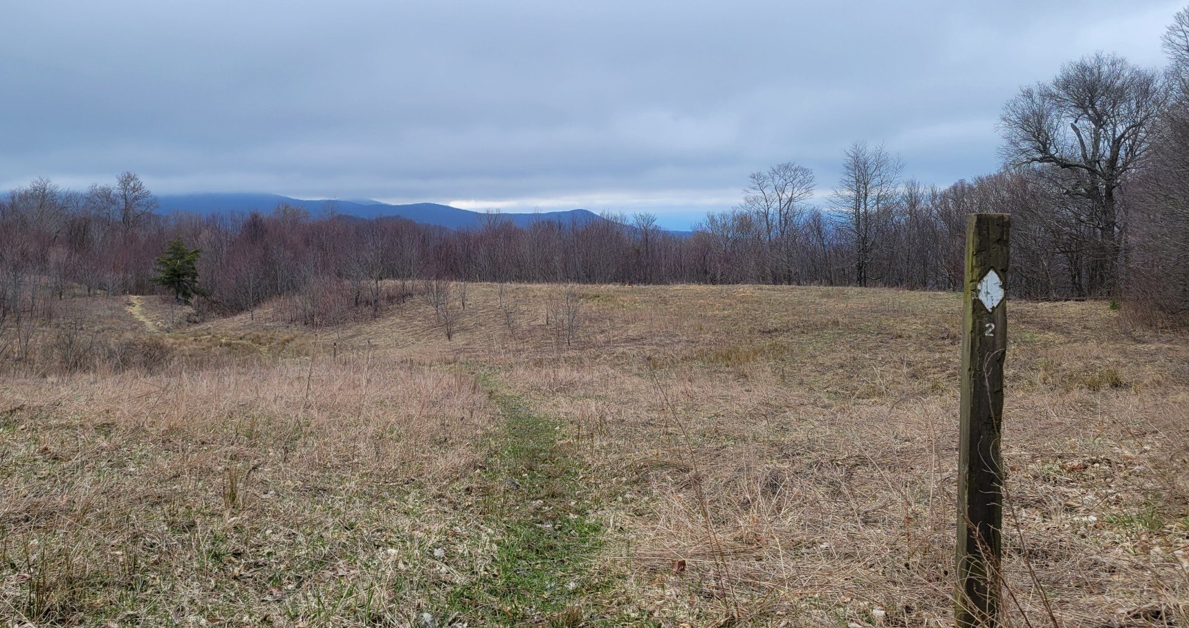
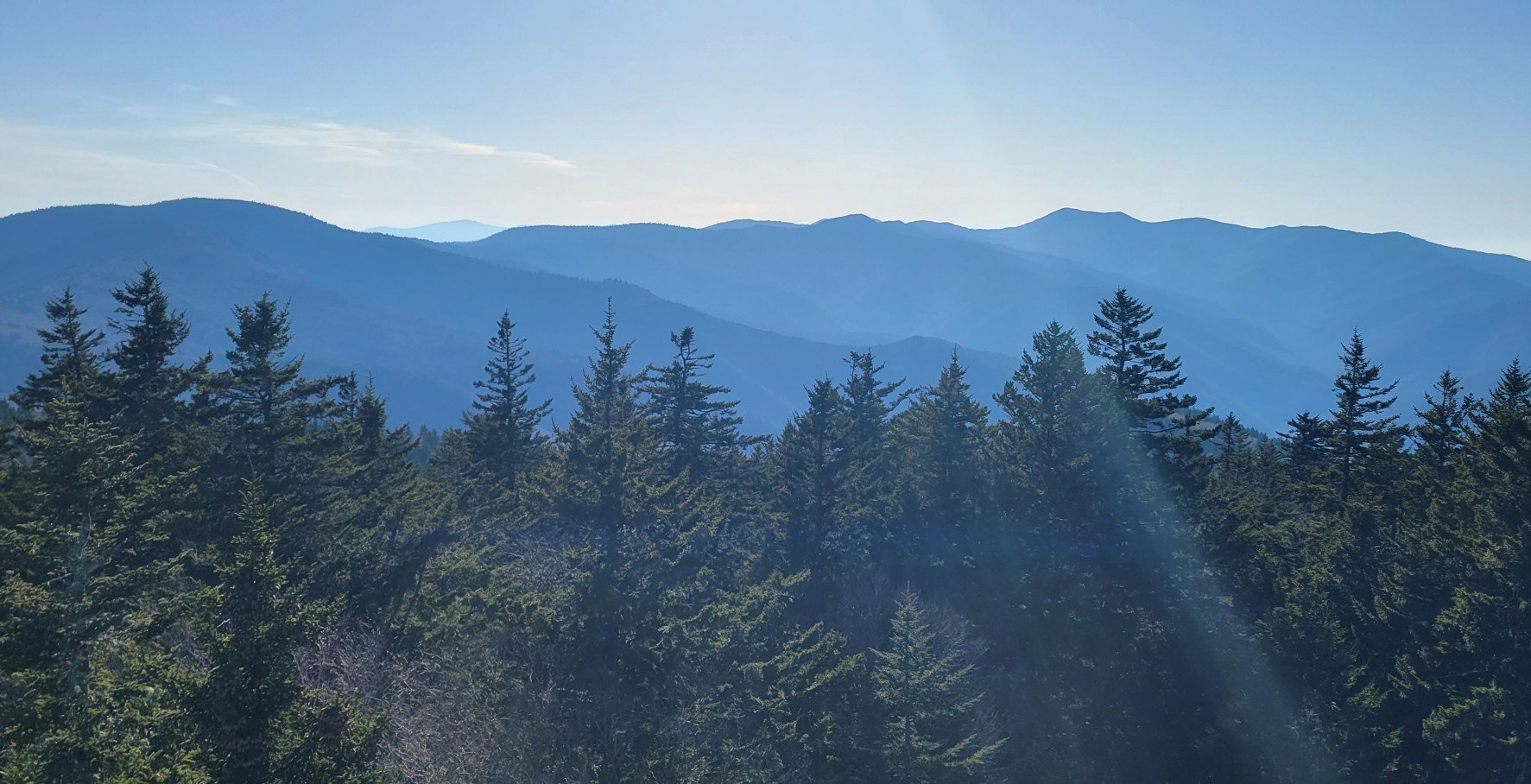
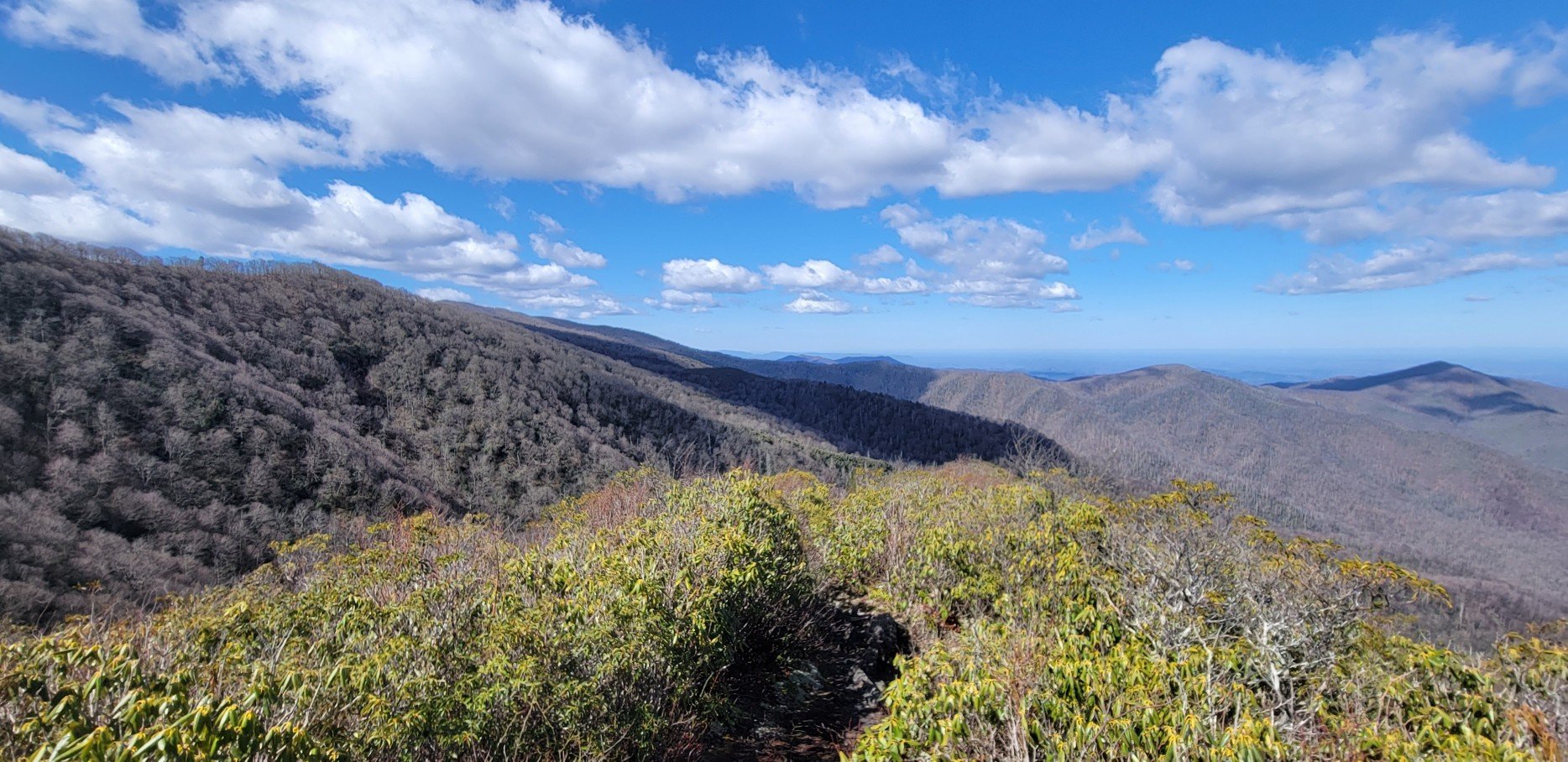
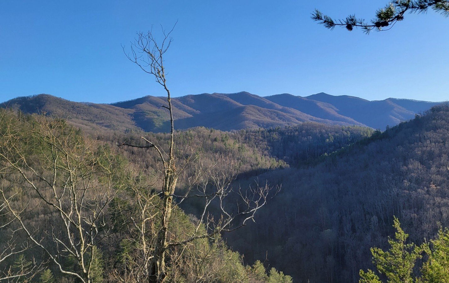
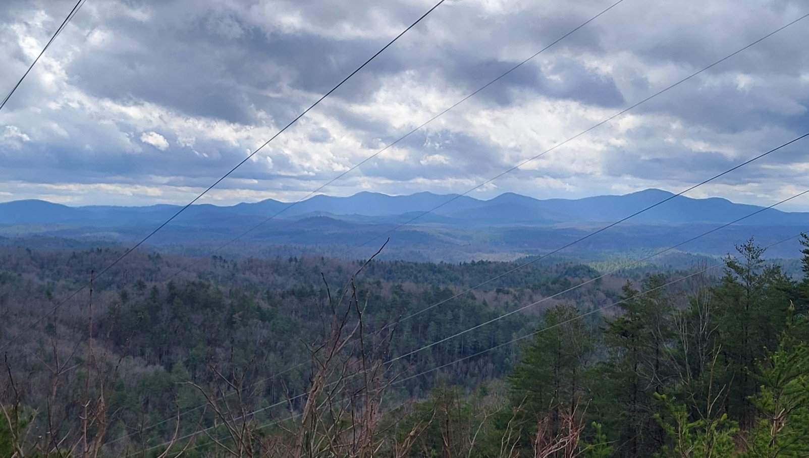
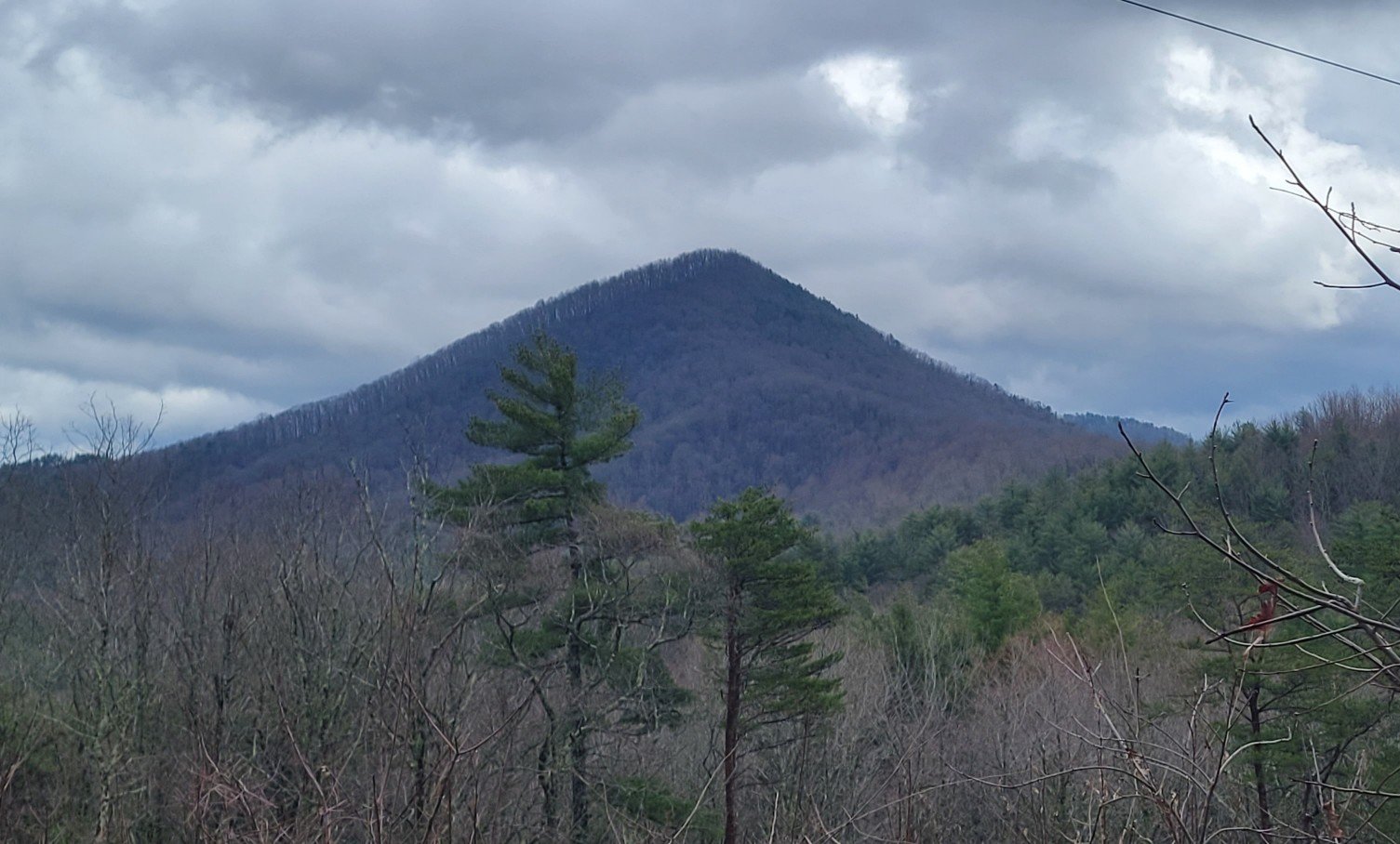
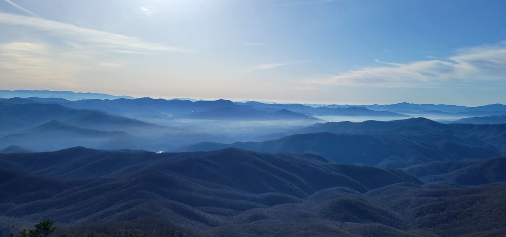
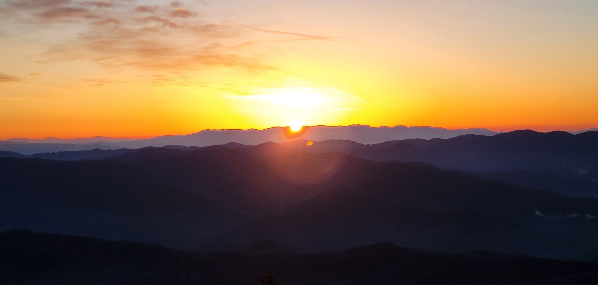
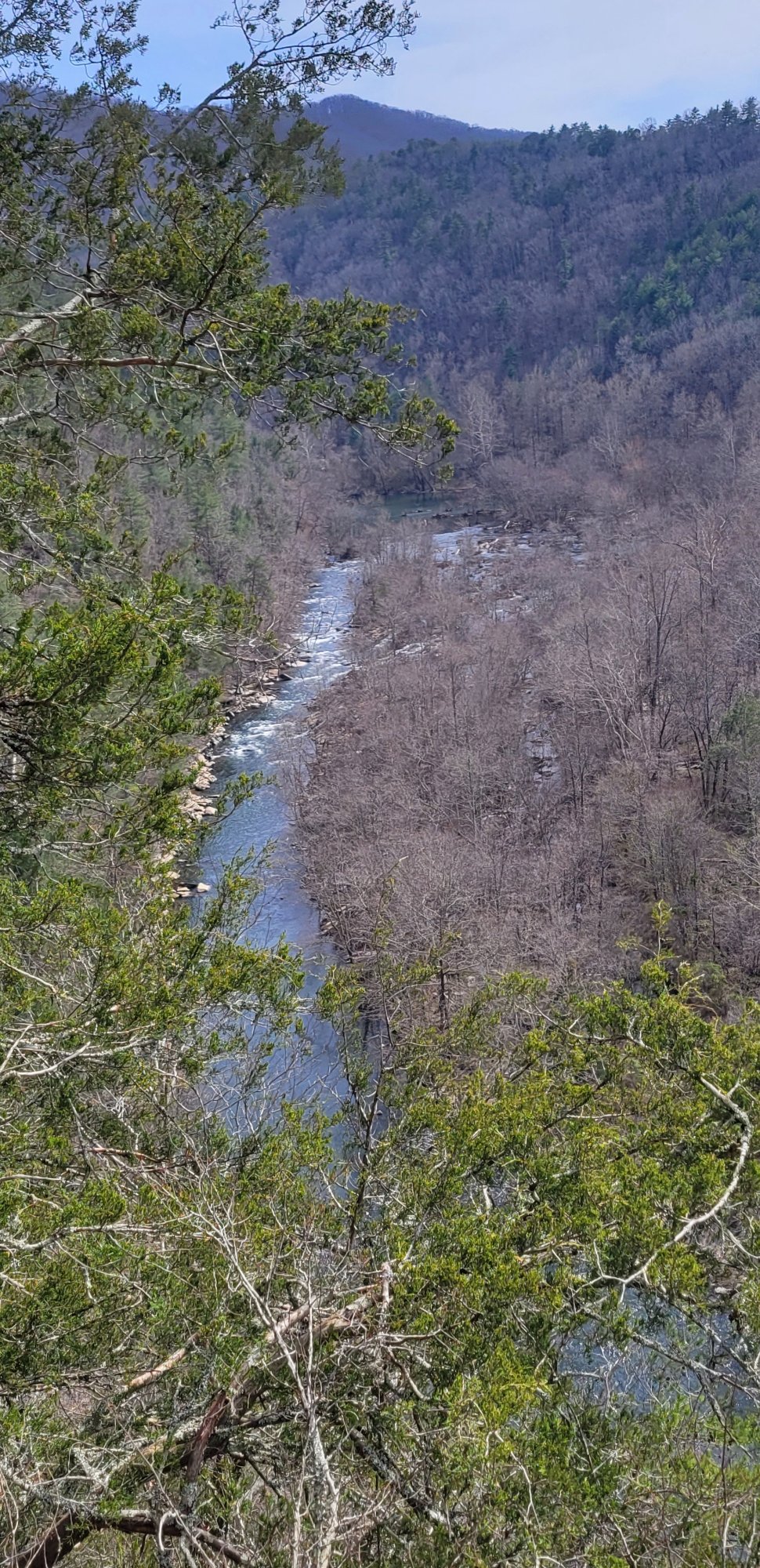
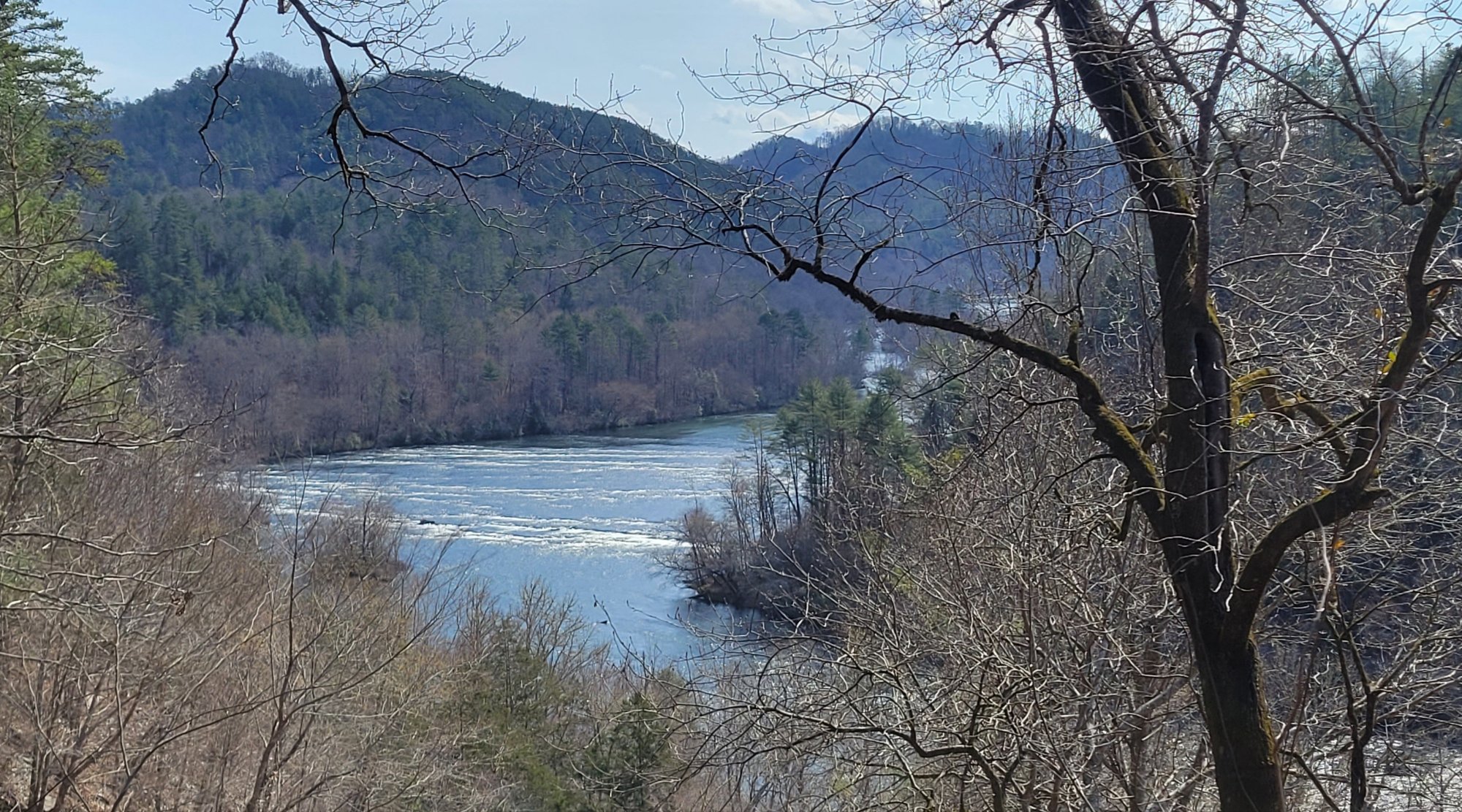
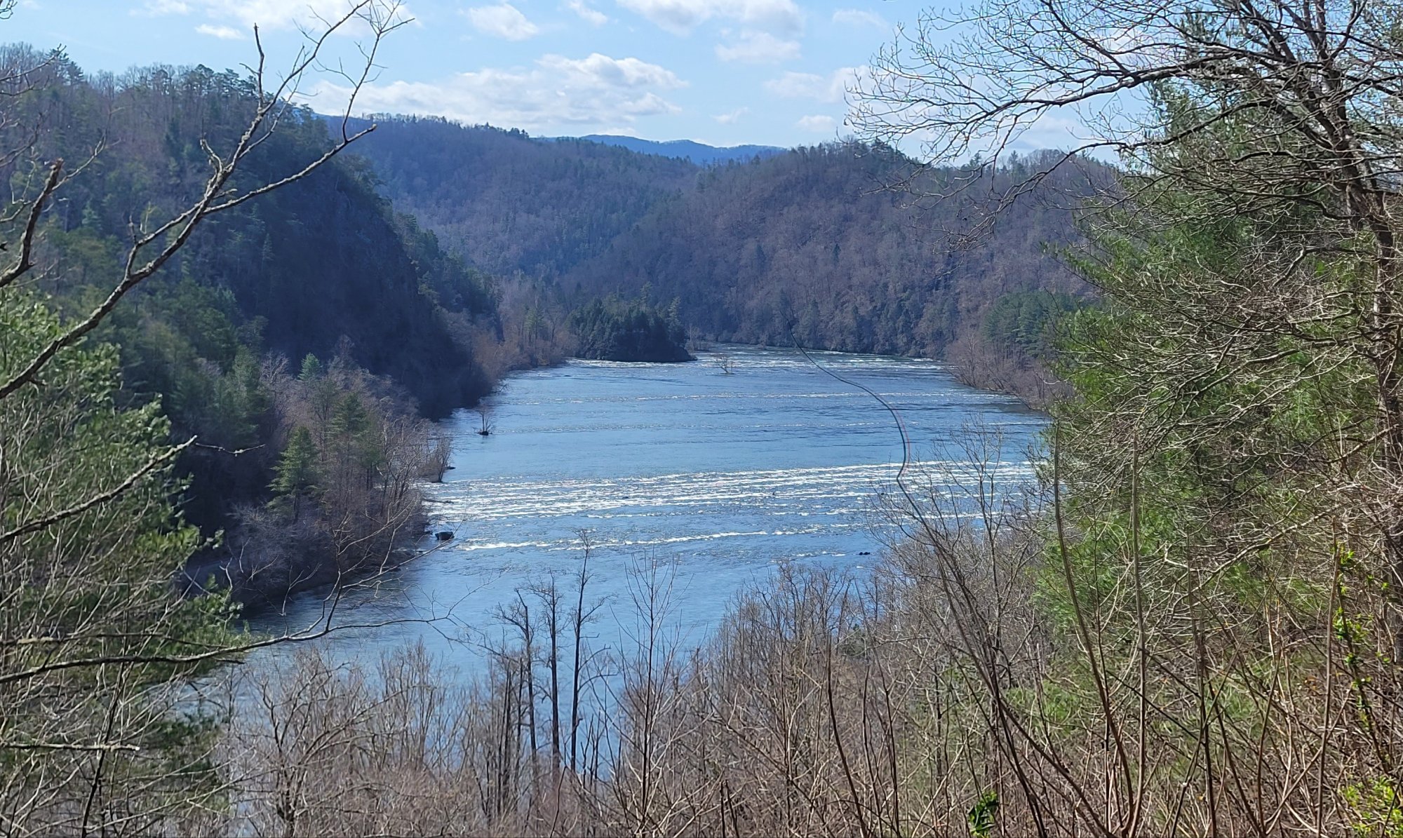
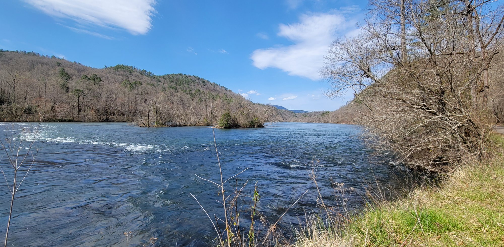
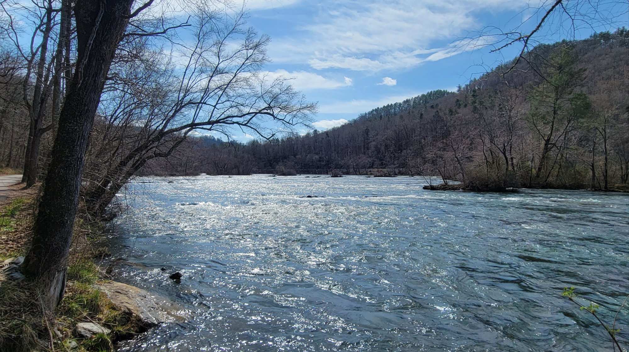
Scenic Views


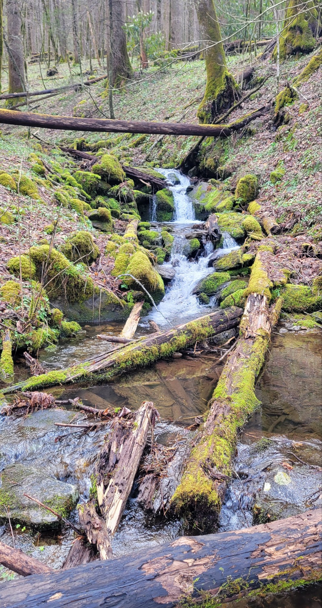
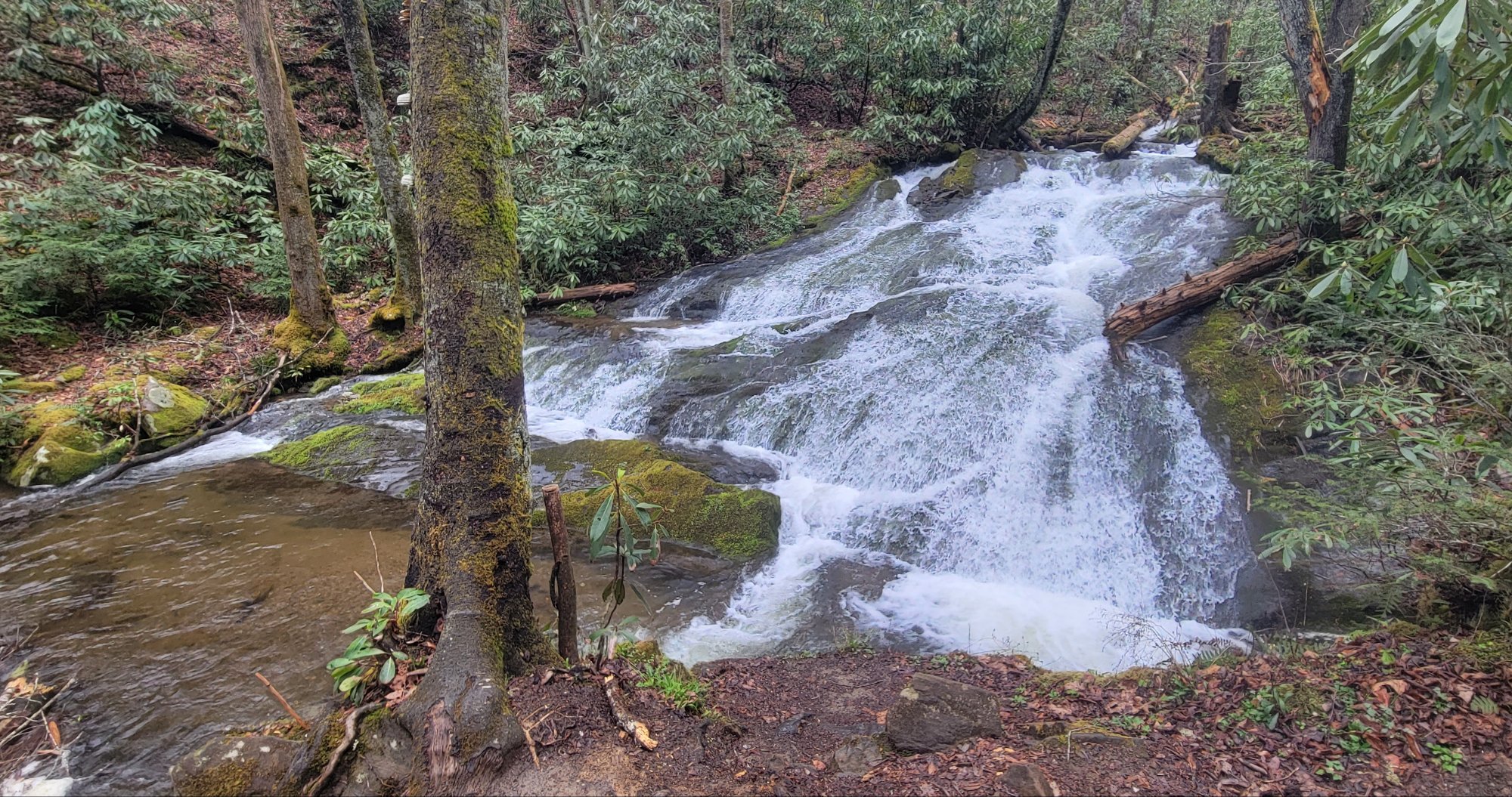
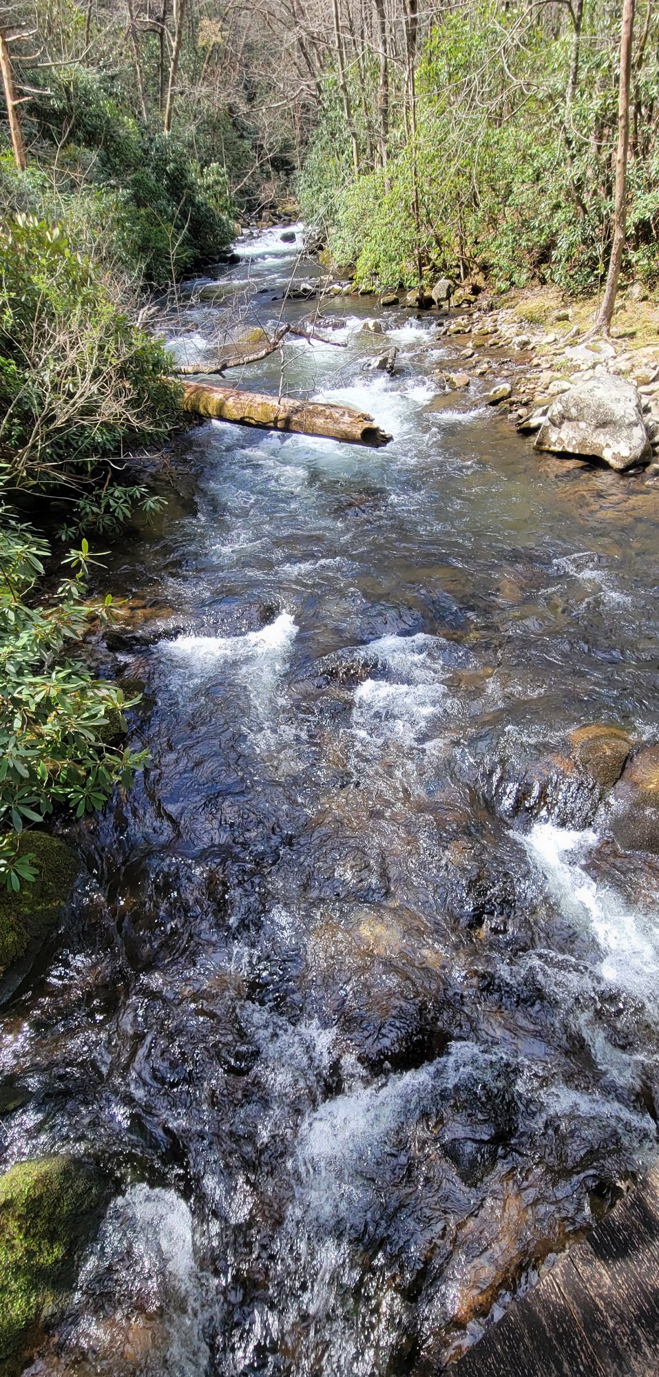
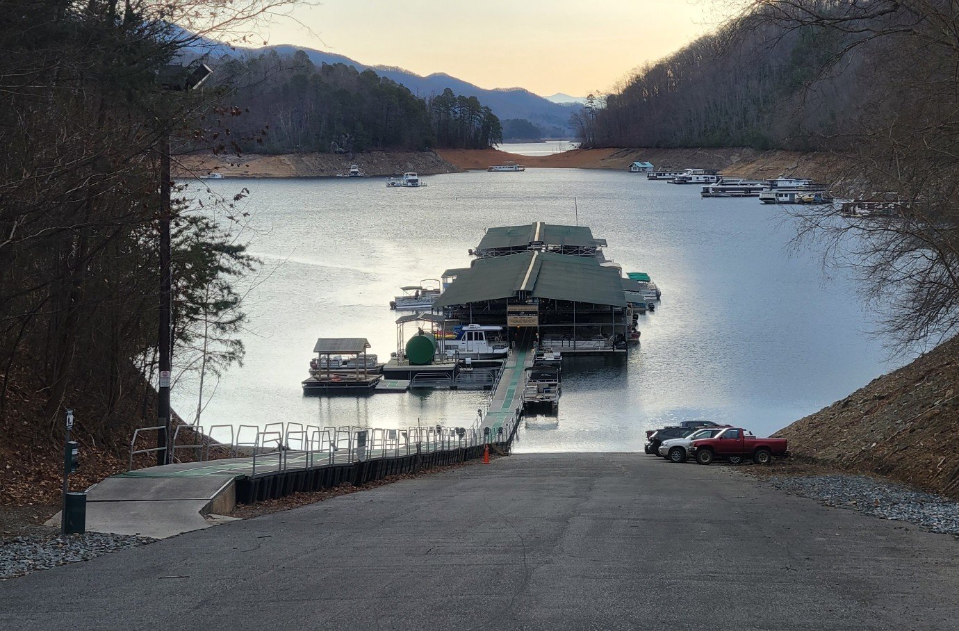
Views of Water


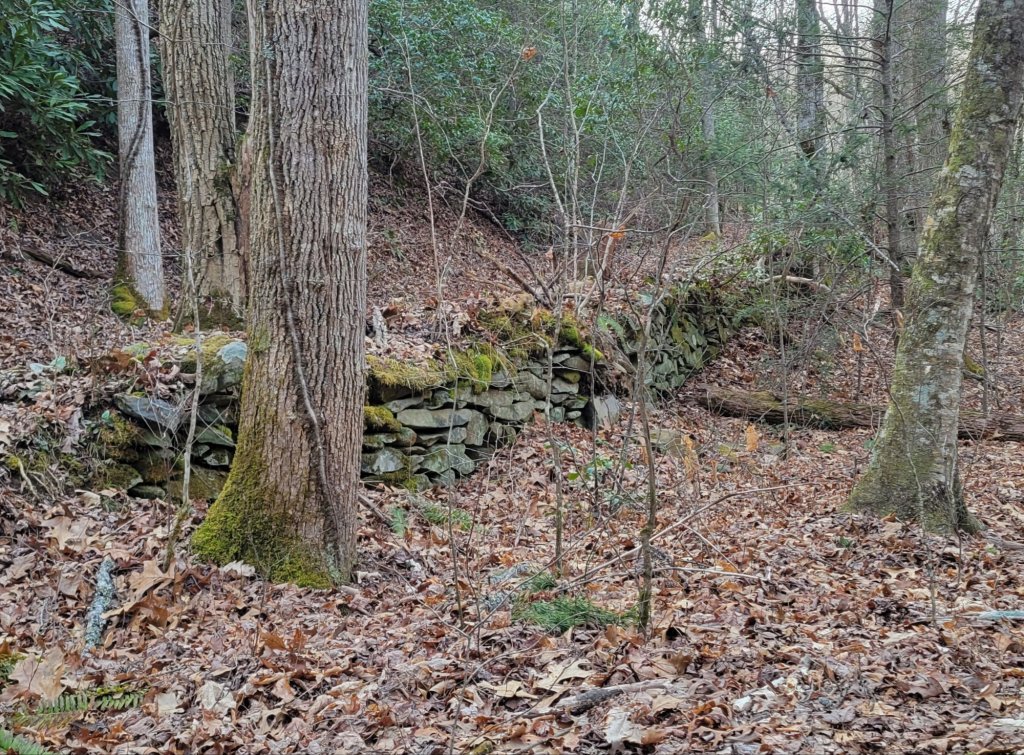
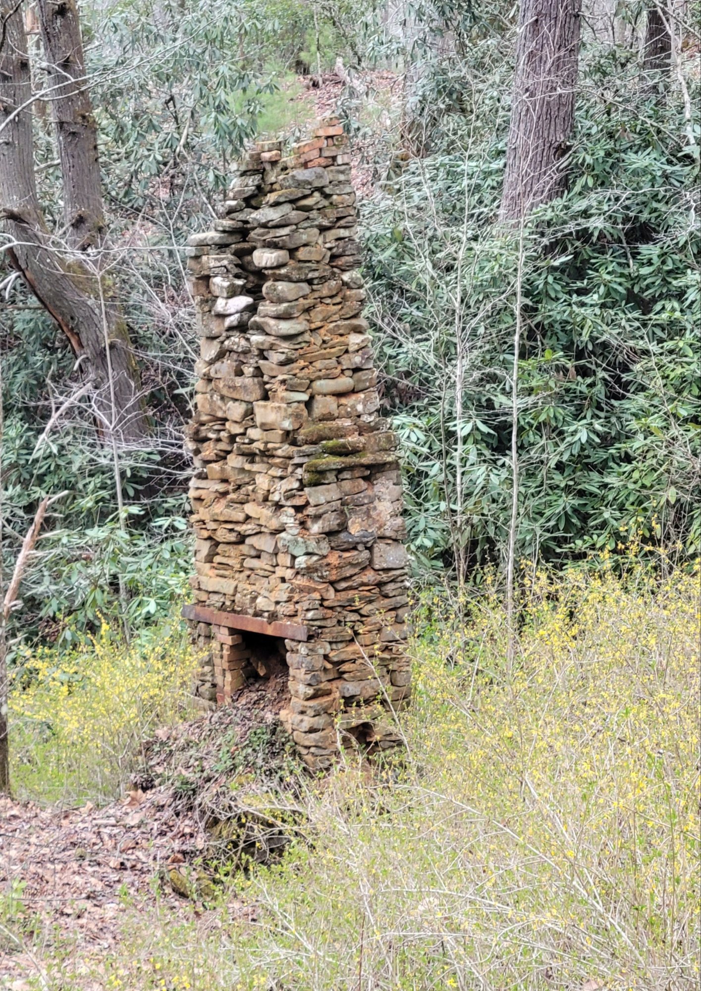
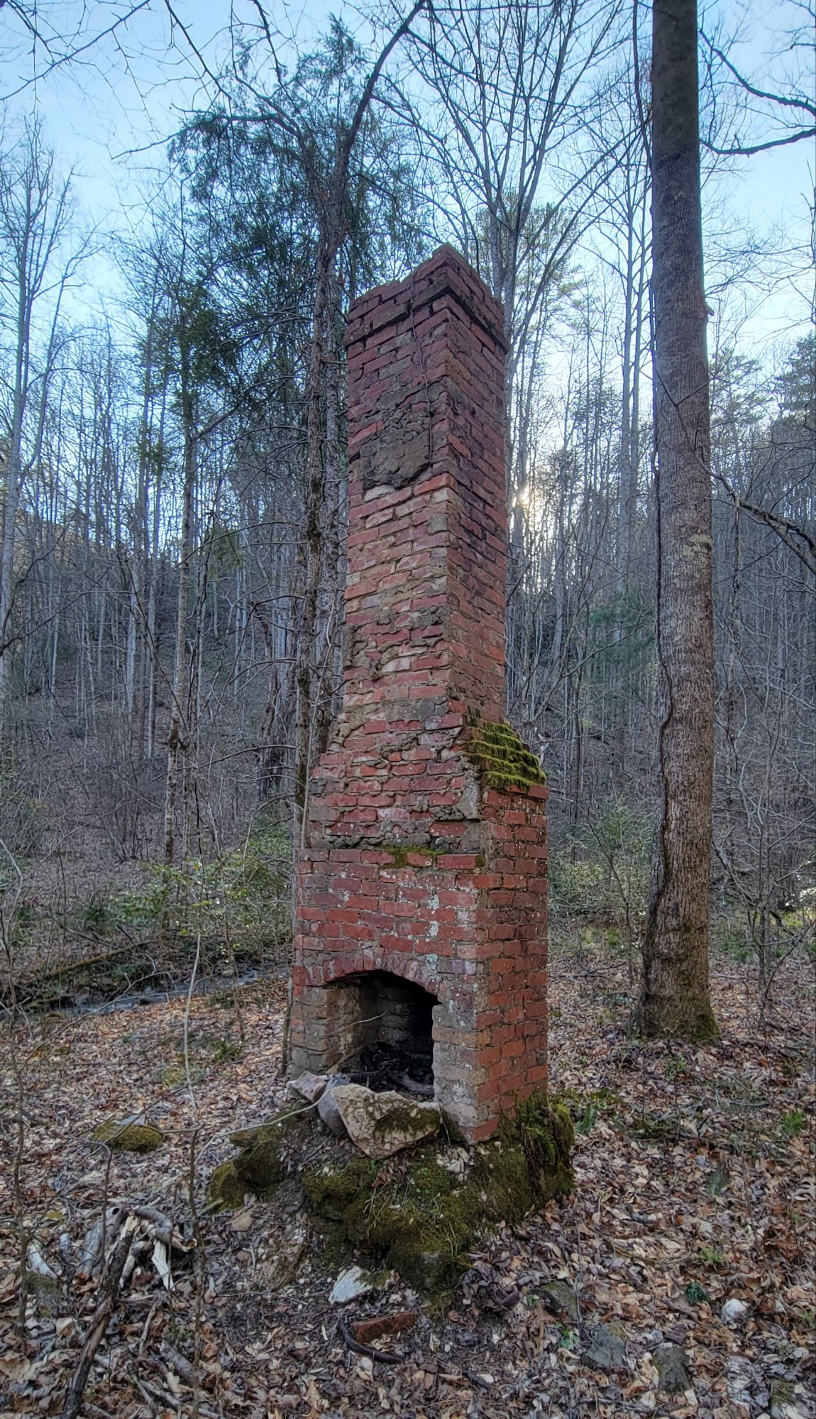
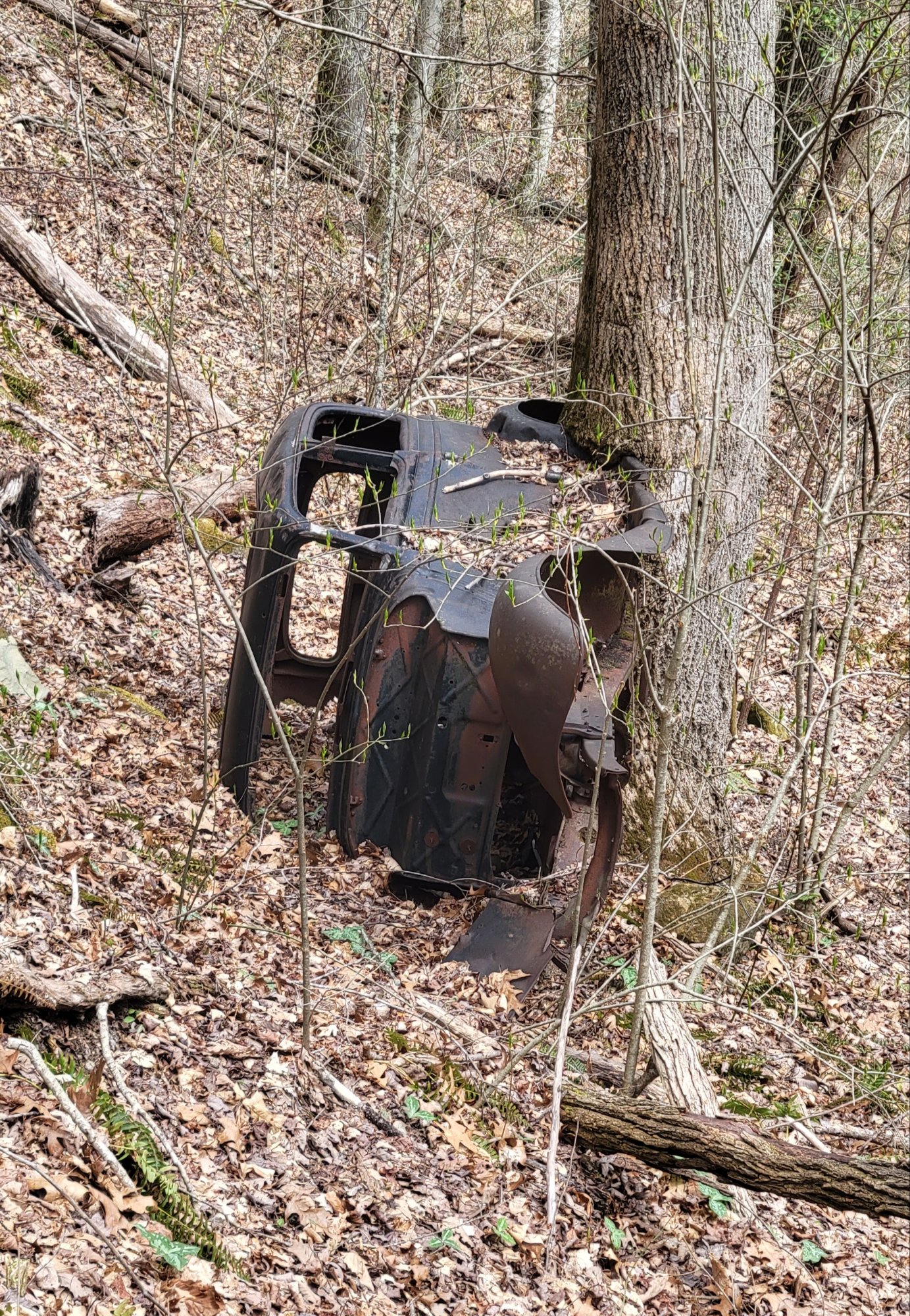
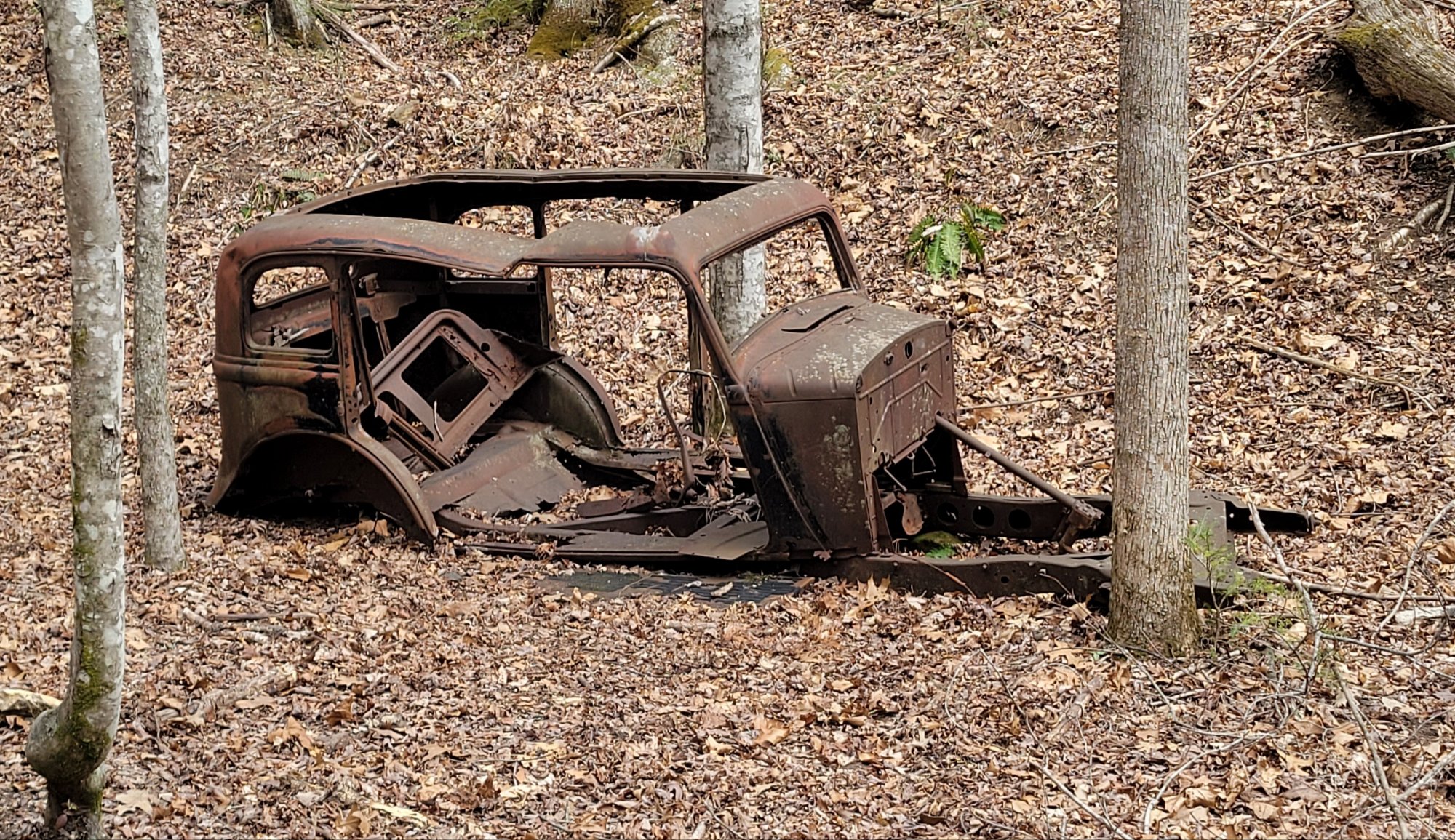
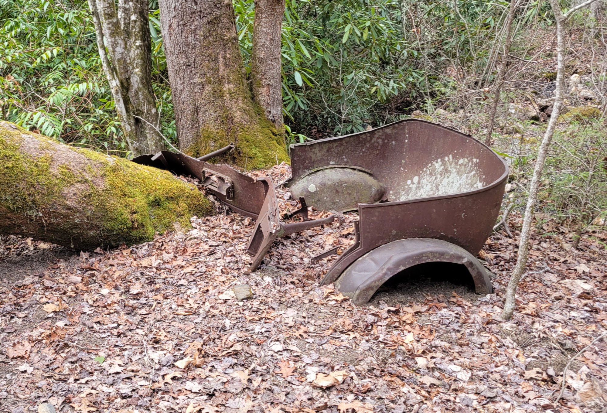
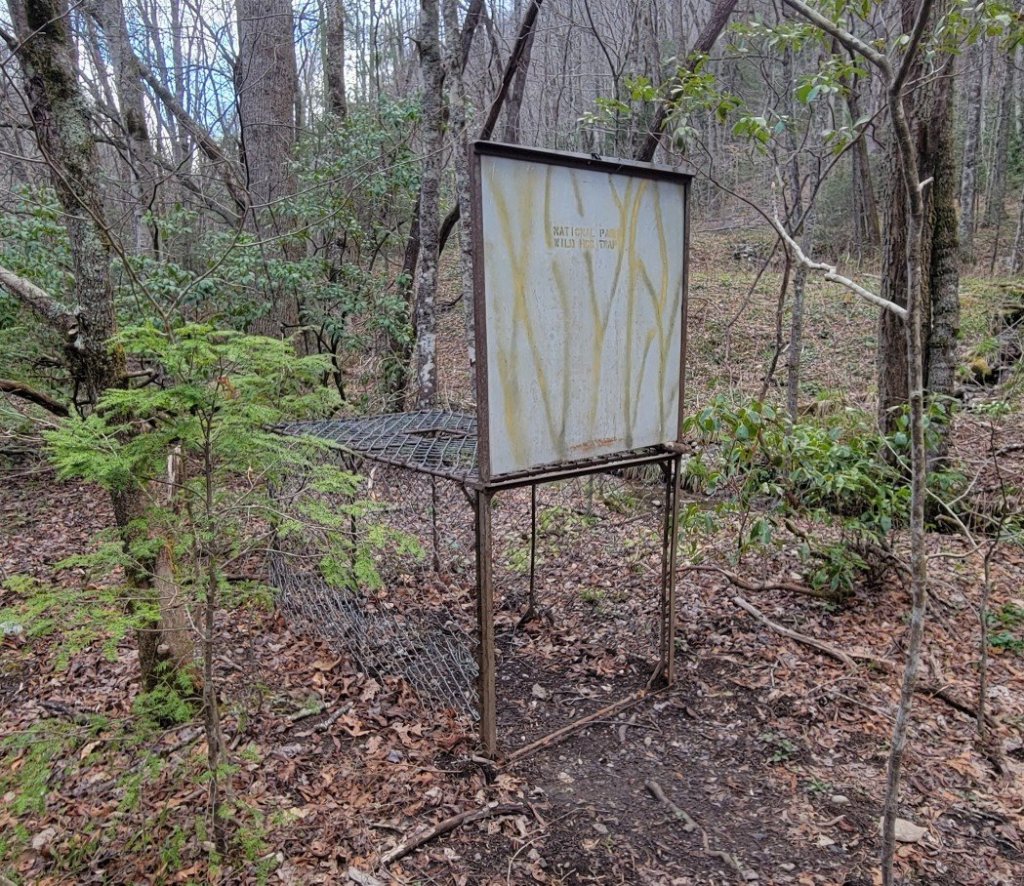
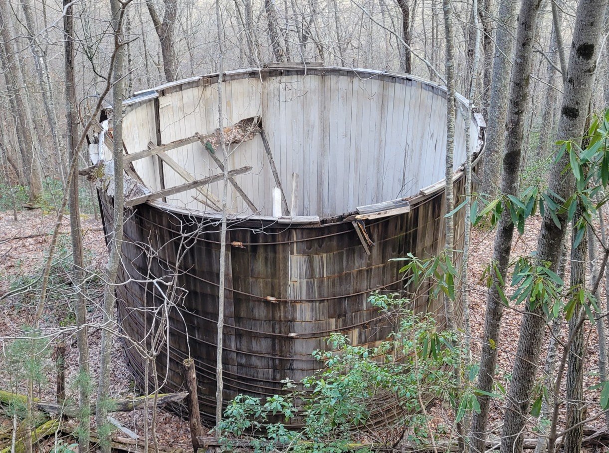
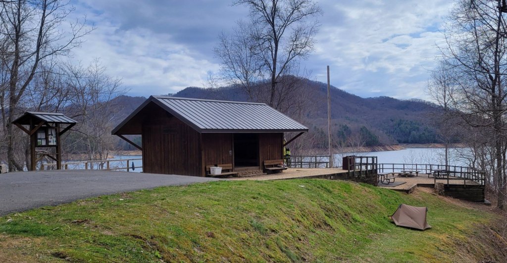
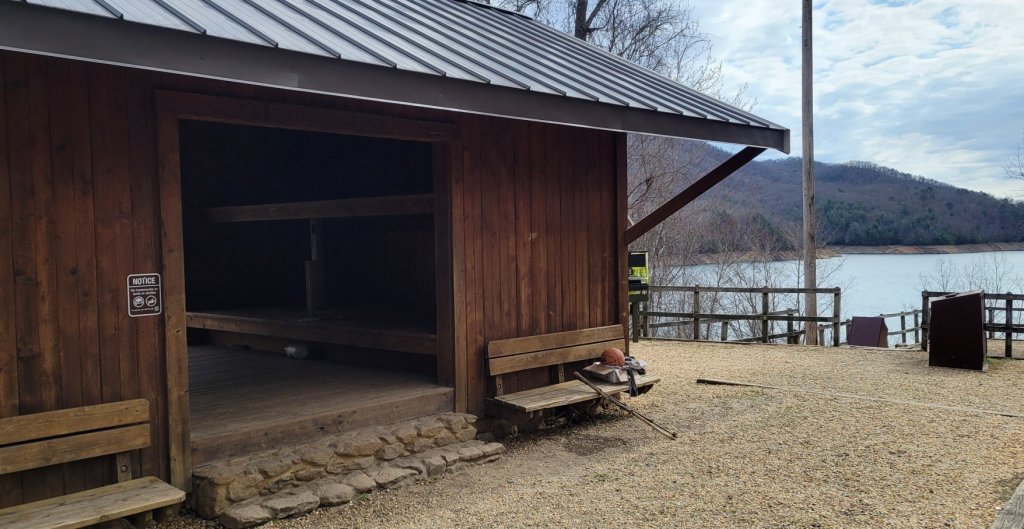
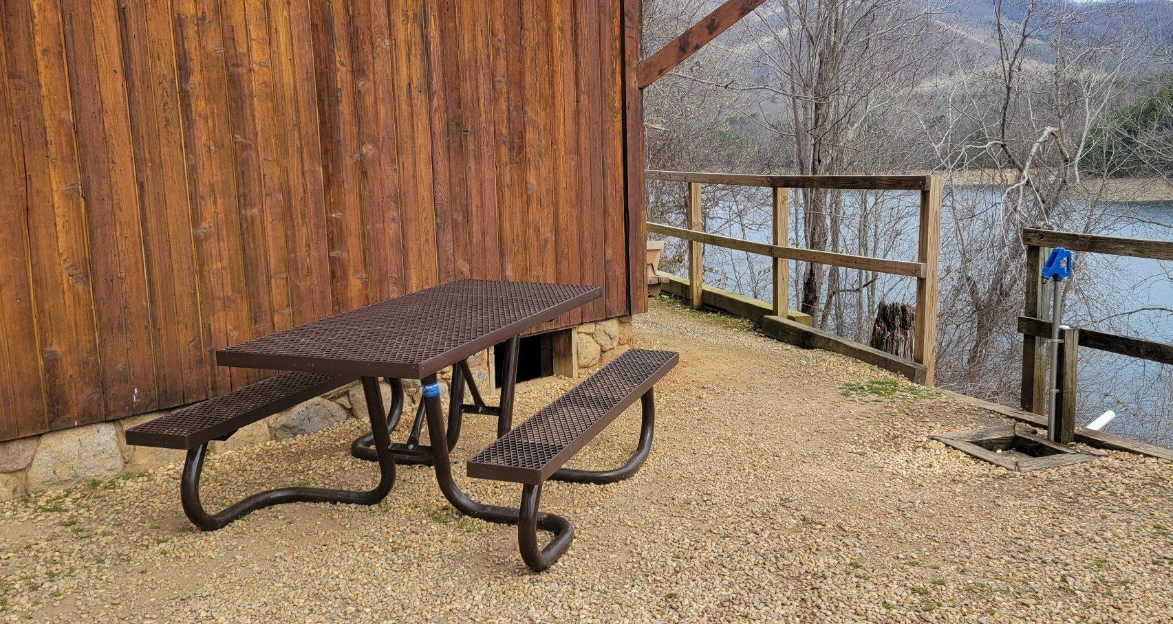
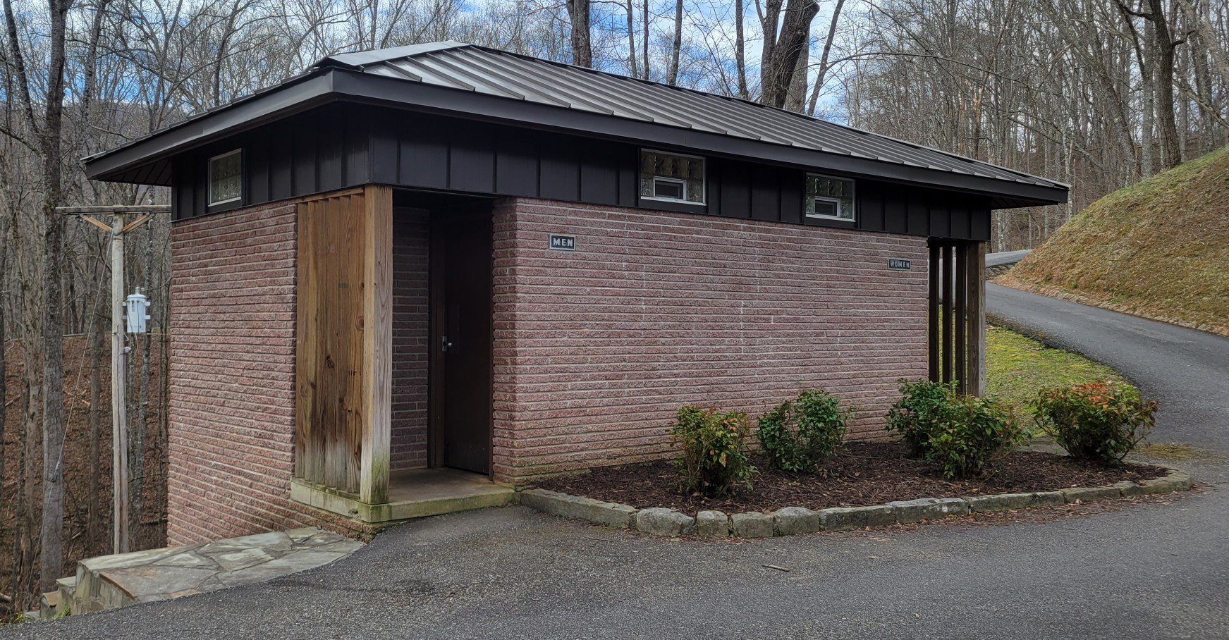
Signs of Mountain Folk
The southern mountains have been inhabited for centuries. First by Native Americans, in particular the Cherokee. Then by white settlers.


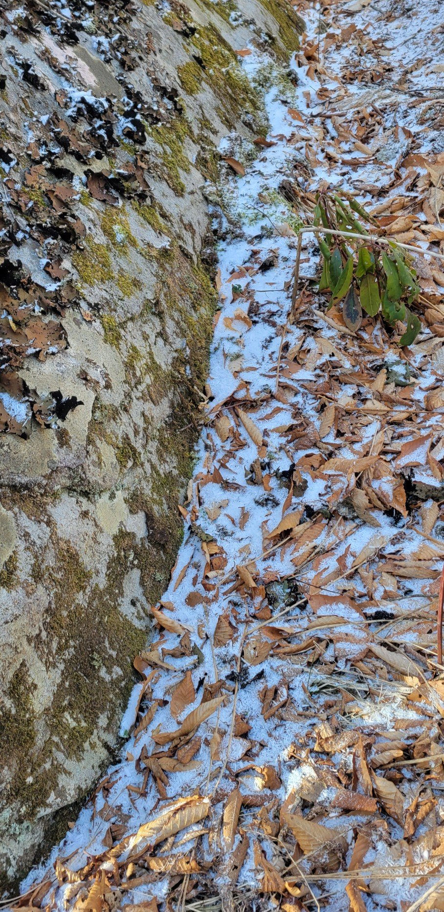
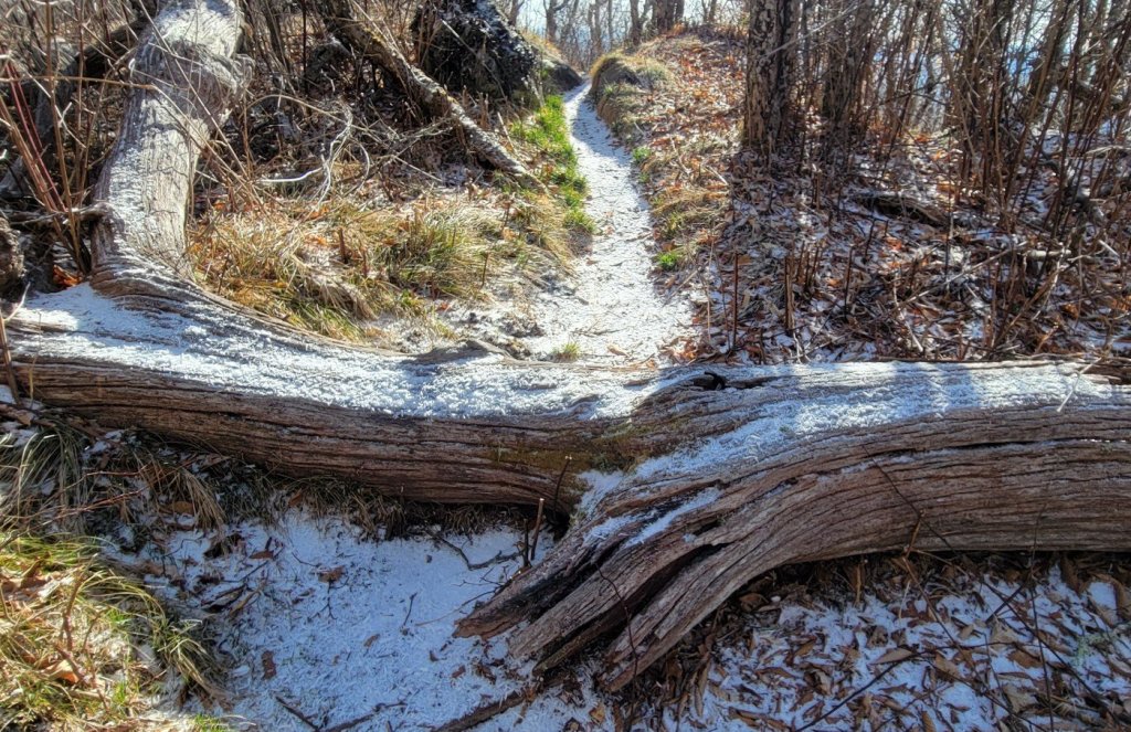
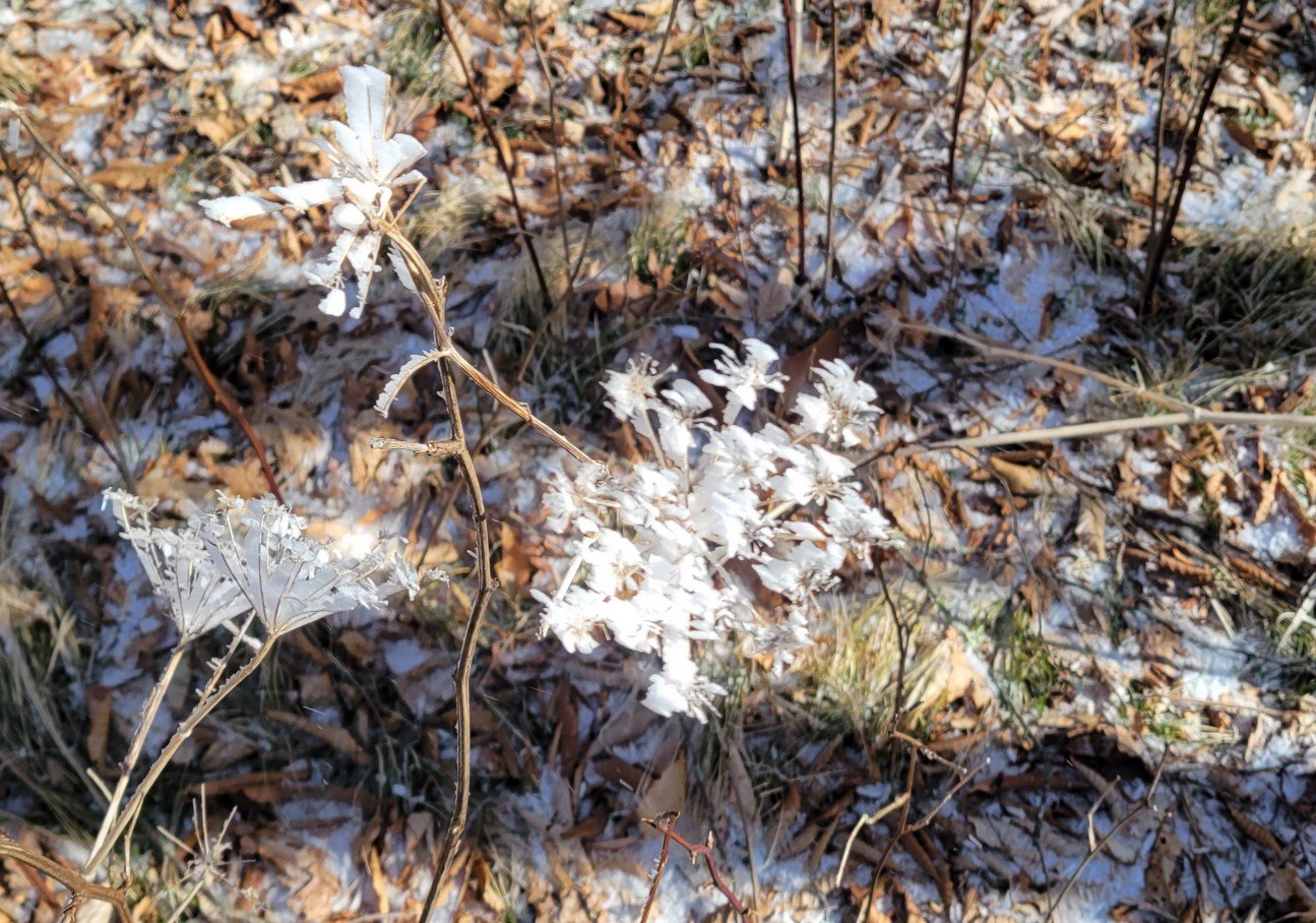
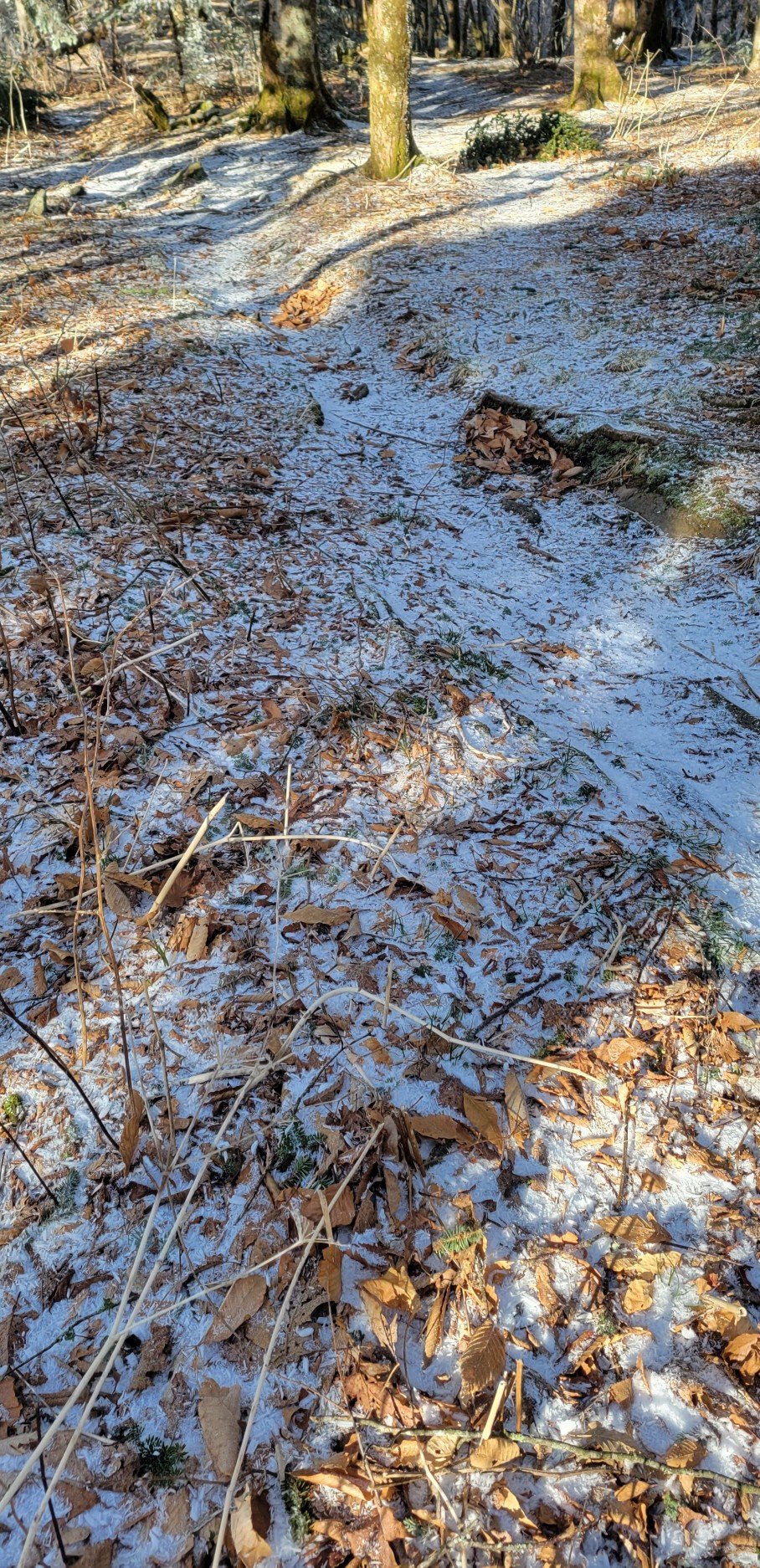
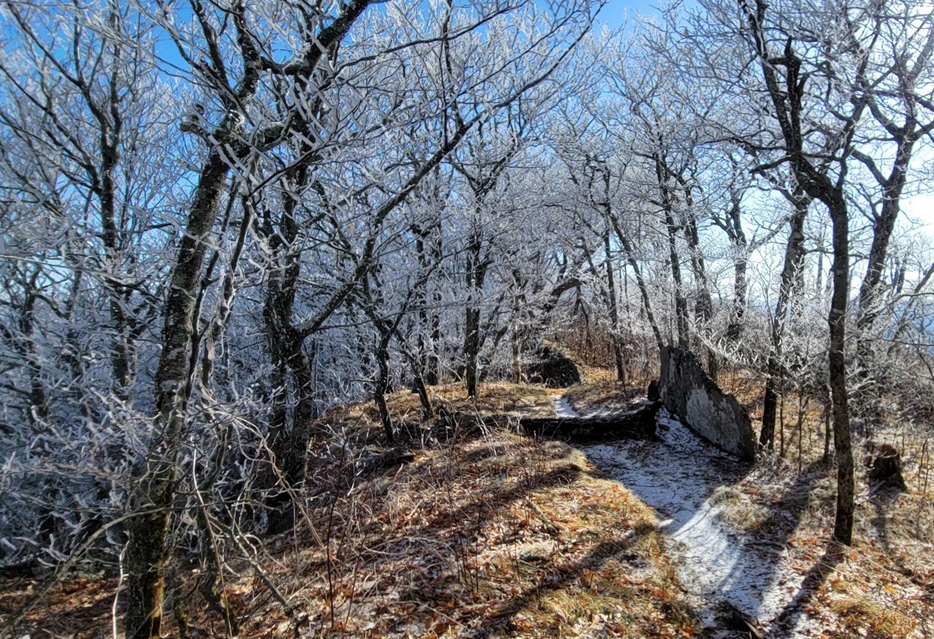
Old Man Winter
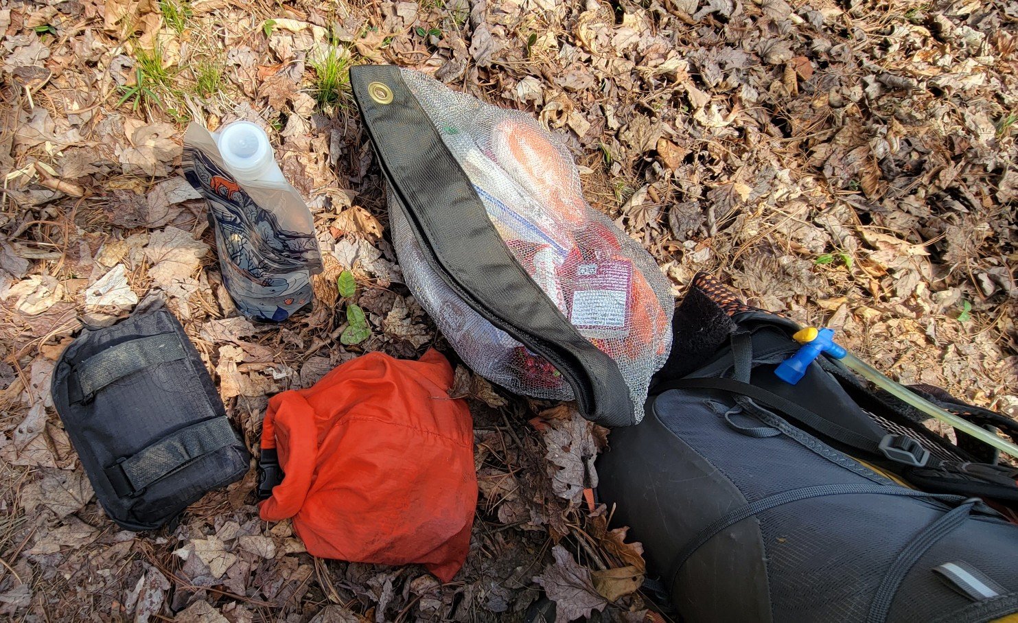
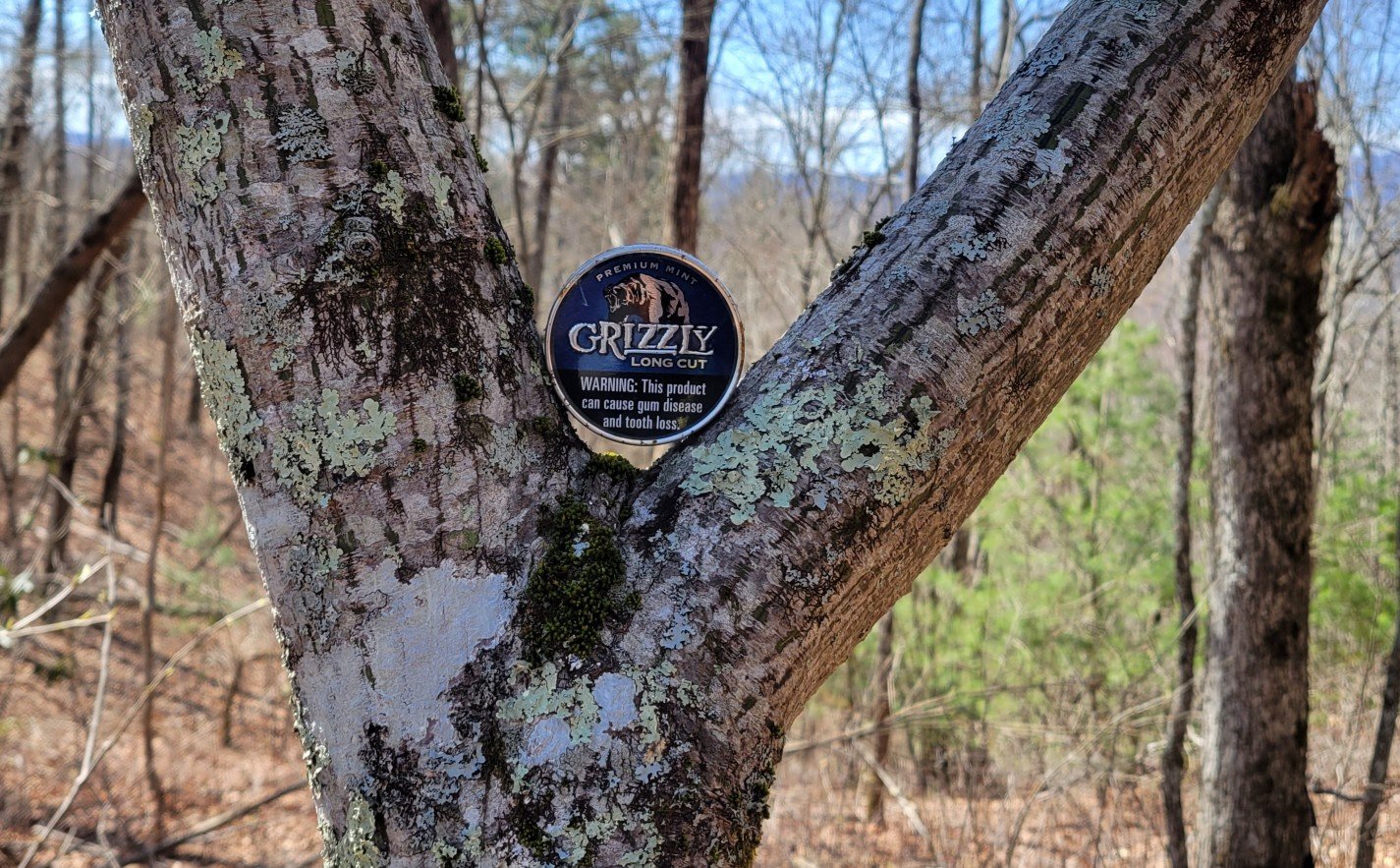
Odds and Ends

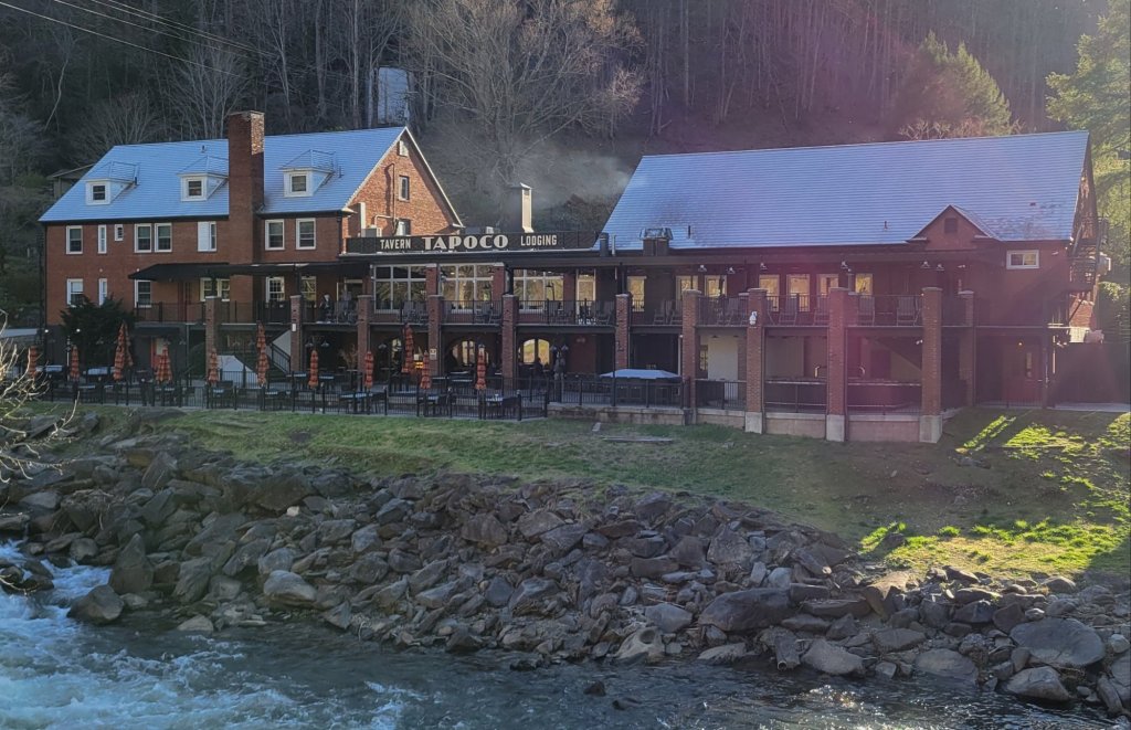
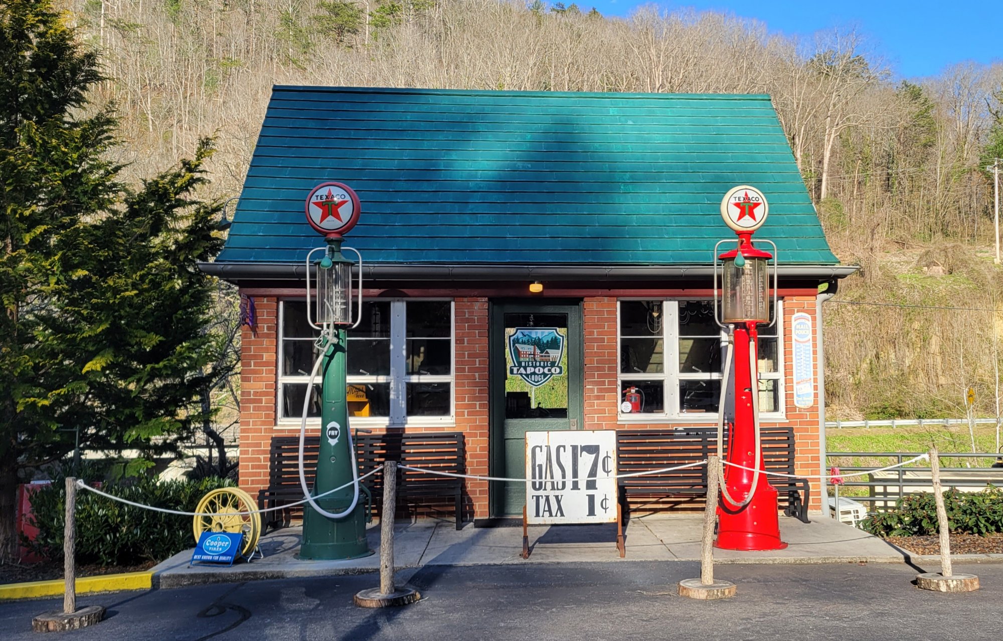
Tapoco Lodge
South of the Smokies, the BMT passes by the Tapoco Lodge.

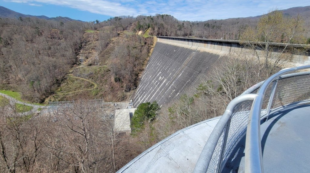
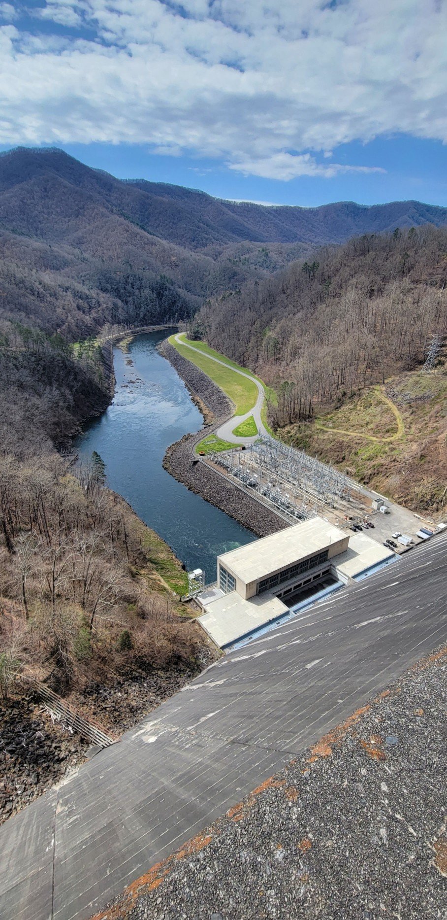
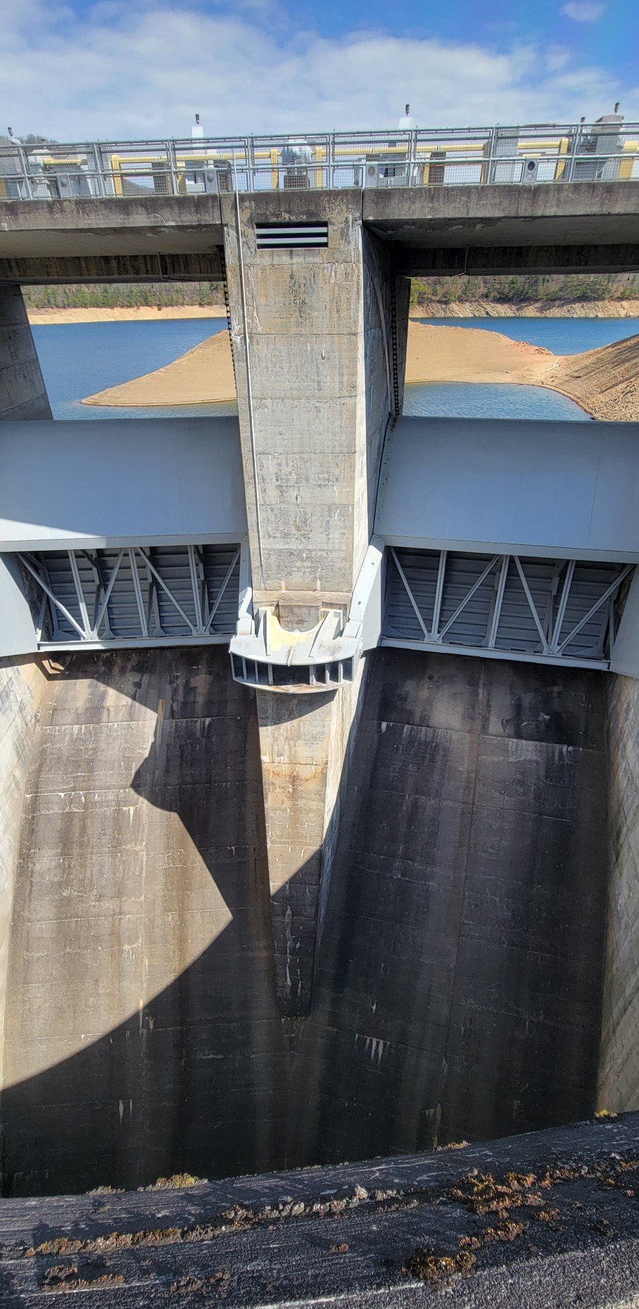
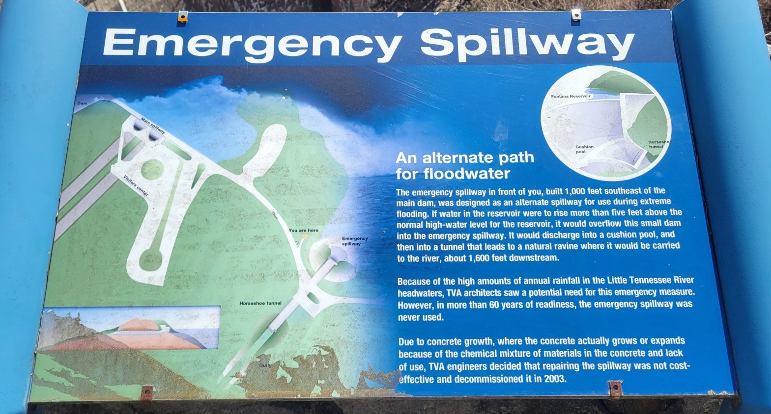
Fontana Dam
Fontana Dam is part of the Tennesse Valley Authority (TVA) public works project of the 1930’s and 40’s. It is built on the Little Tennessee River at the south end of Smokey Mountain National Park. It is the highest dam in the US east of the Rockies.


The Fontana “Hilton”
The BMT follows the AT for a few short miles near Fontana Dam. In the stretch is probably the nicest shelter on the entire AT. Hikers have dubbed it the Fontana “Hilton.”

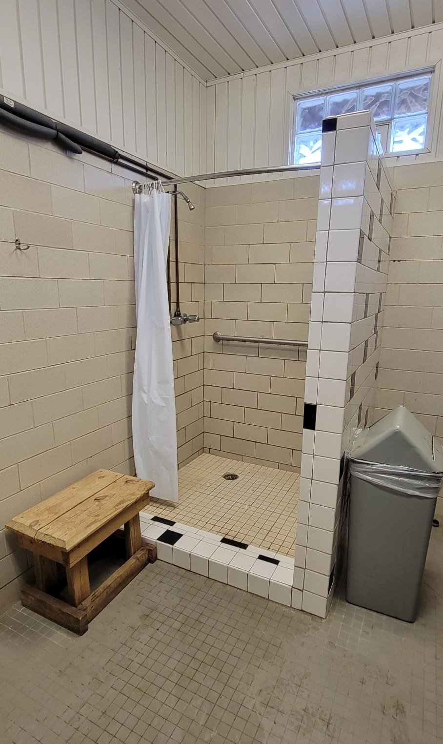
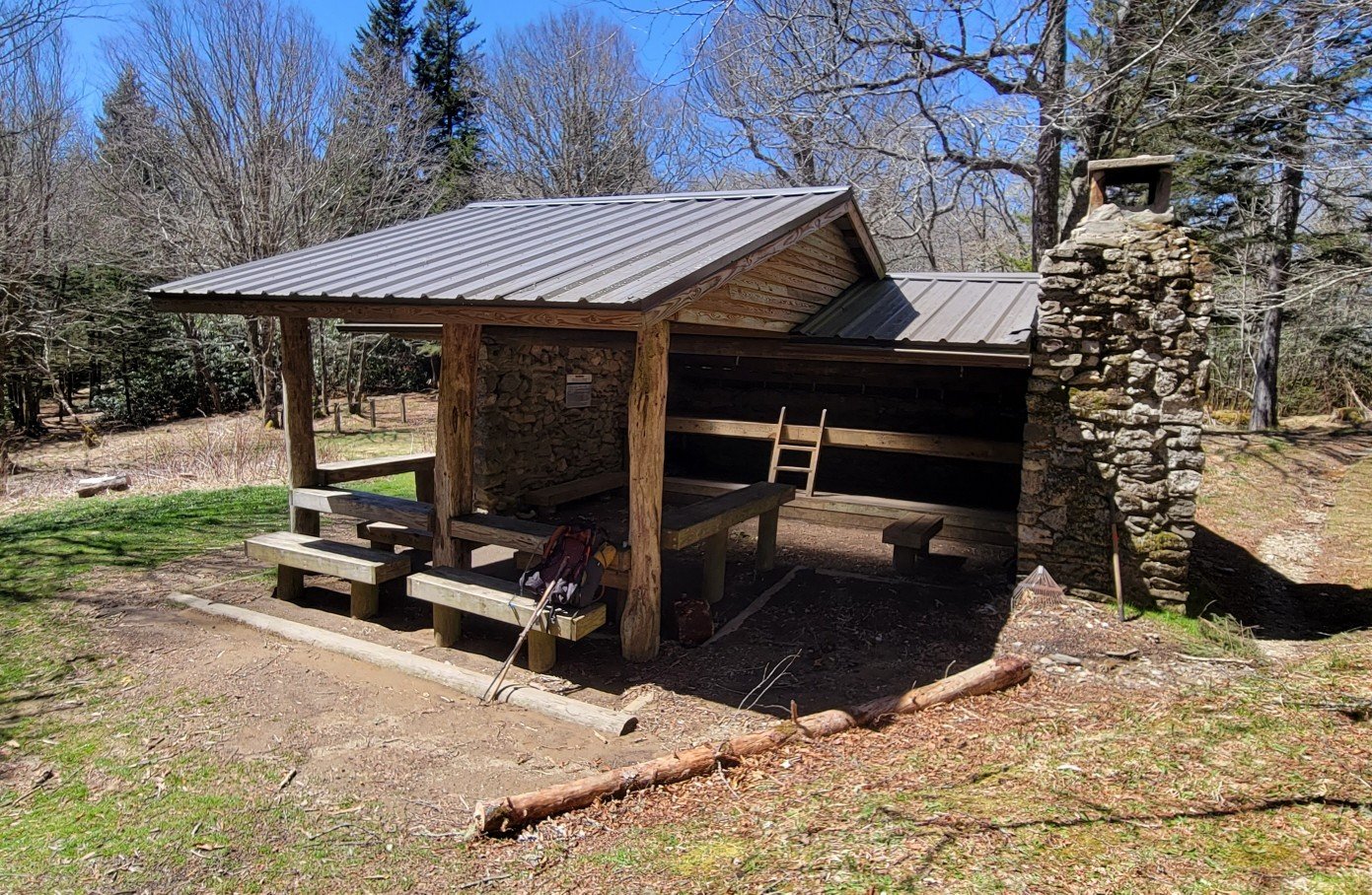
There are only three on the entire BMT.

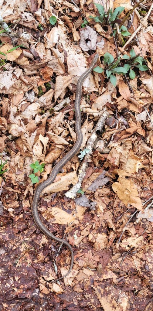
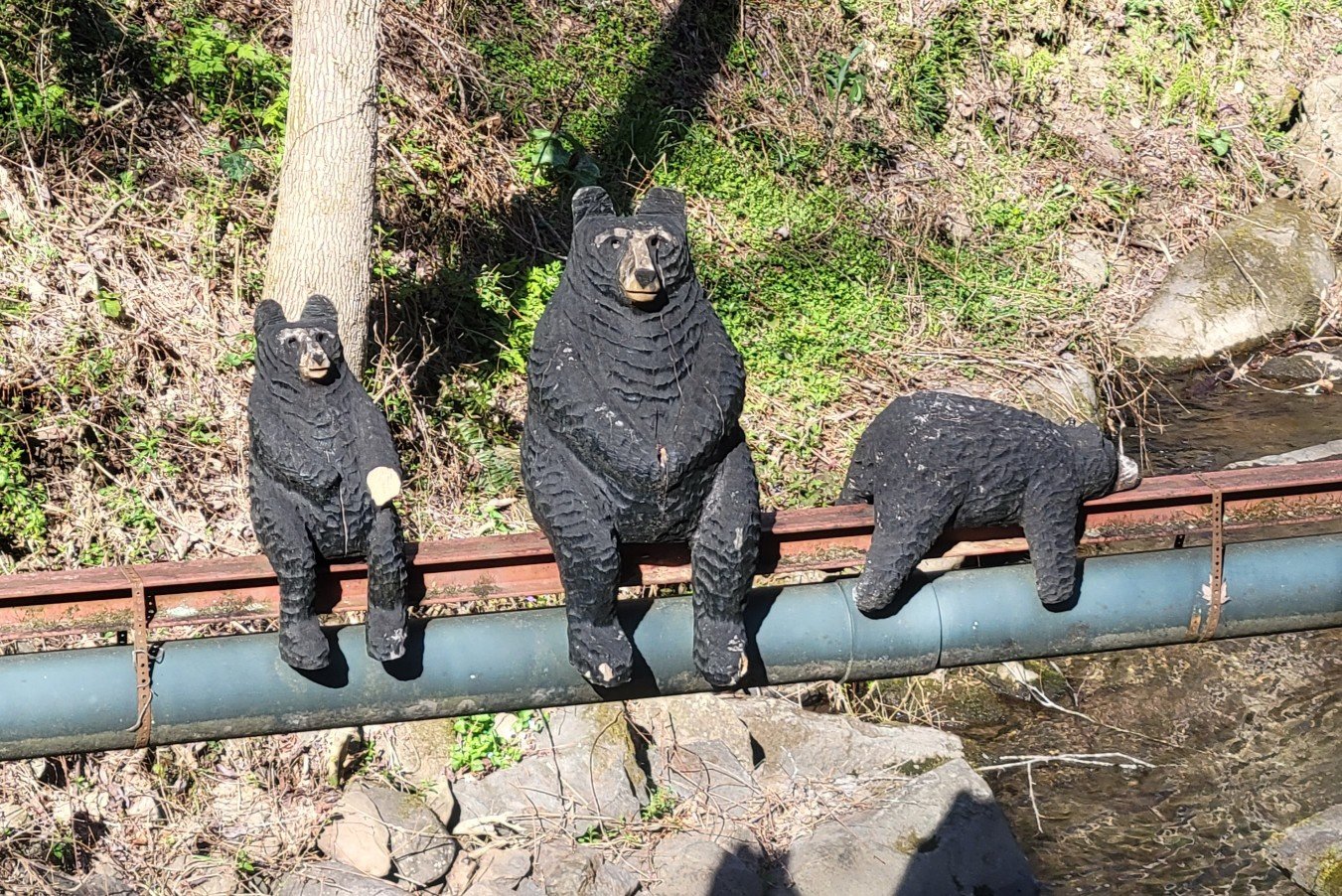
Animals
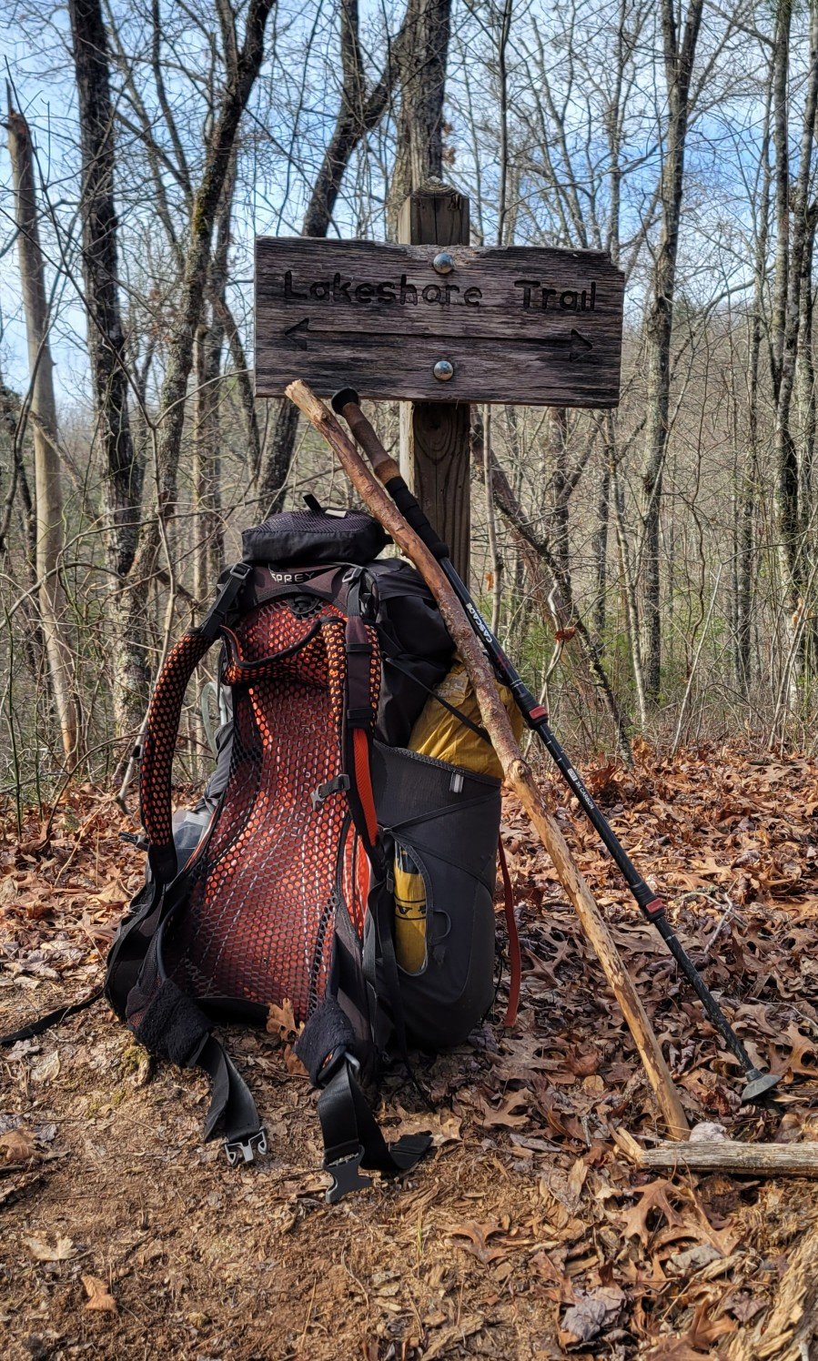
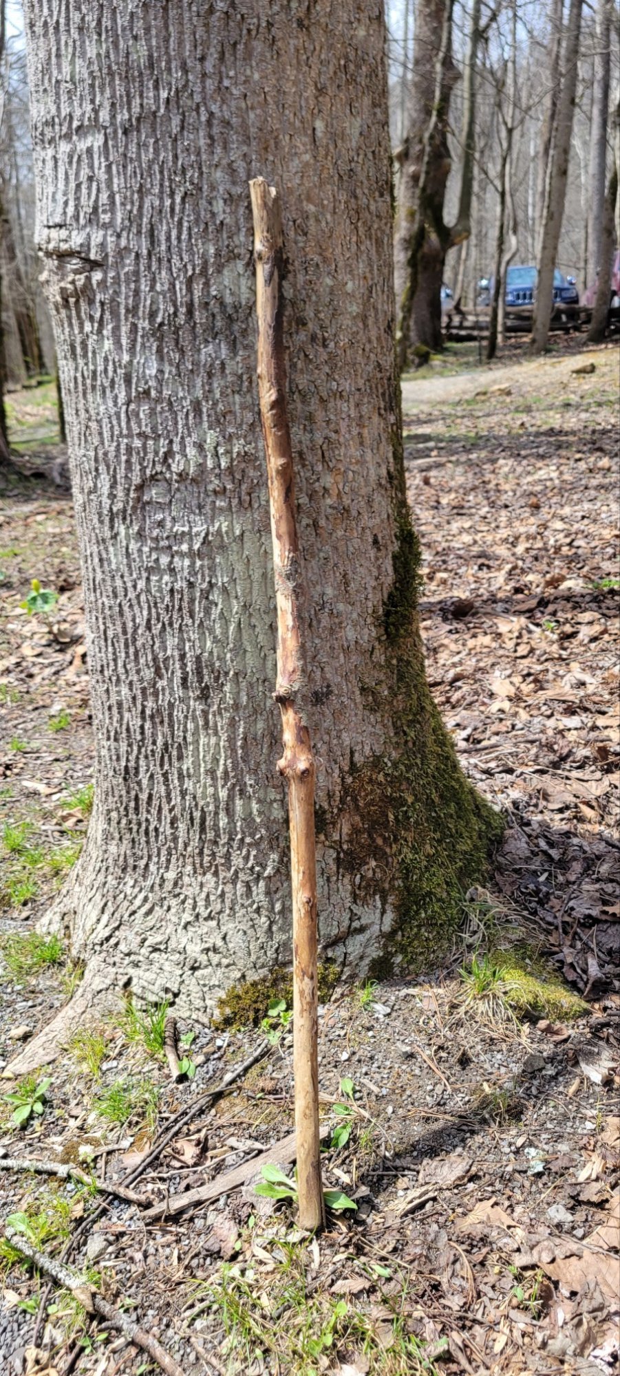
Ode to a Stick
At mile 150, I lost my footing crossing a creek. I didn’t fall in, but in steadying myself, I let go of one of my carbon hiking sticks. It disappeared into the current, never to be seen again. I had to make do with a found wooden stick. In less than two days, I went through two sticks which broke. Here’s the third stick I used. It got me through 100 miles.
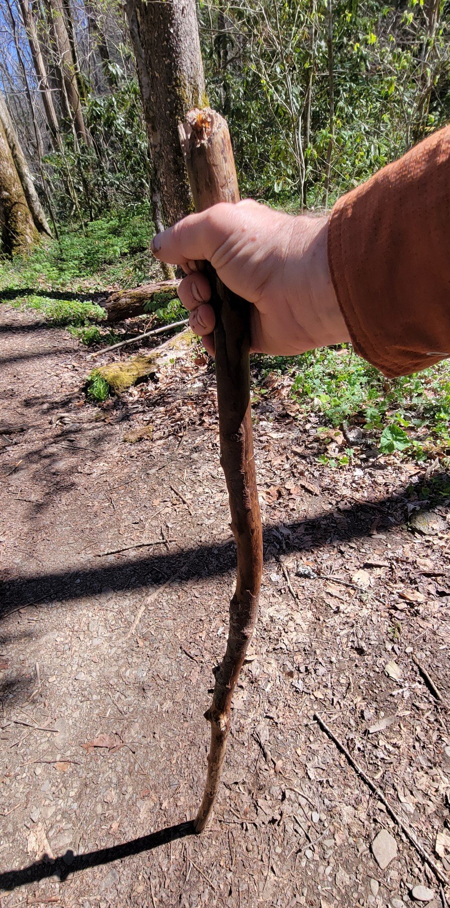
At the end of the hike, I left it leaning against a tree in hopes that someone else might use it.


Such great photos and so much to see! You’ve got perceptive eyes! Thanks for sharing. Loe, Janet
LikeLike