c) Andrew Carter, 2022
There are about 100 miles of the Tuscarora Trail from Hancock, MD to the northern terminus on Blue Mountain in Pennsylvania near Carlisle.
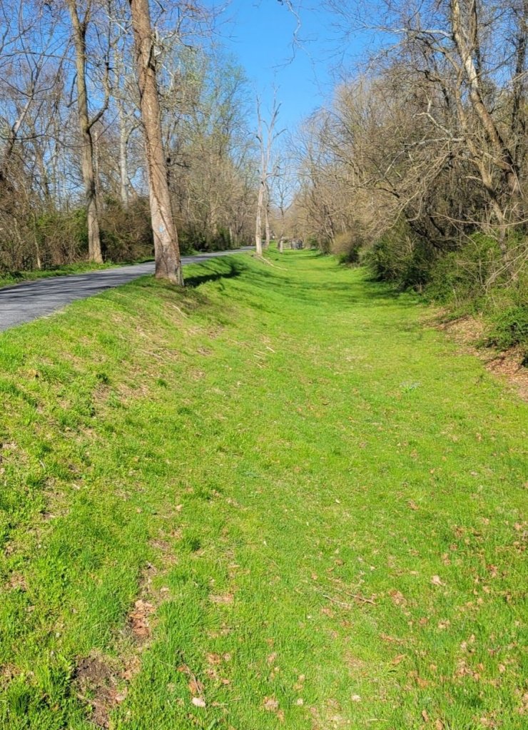
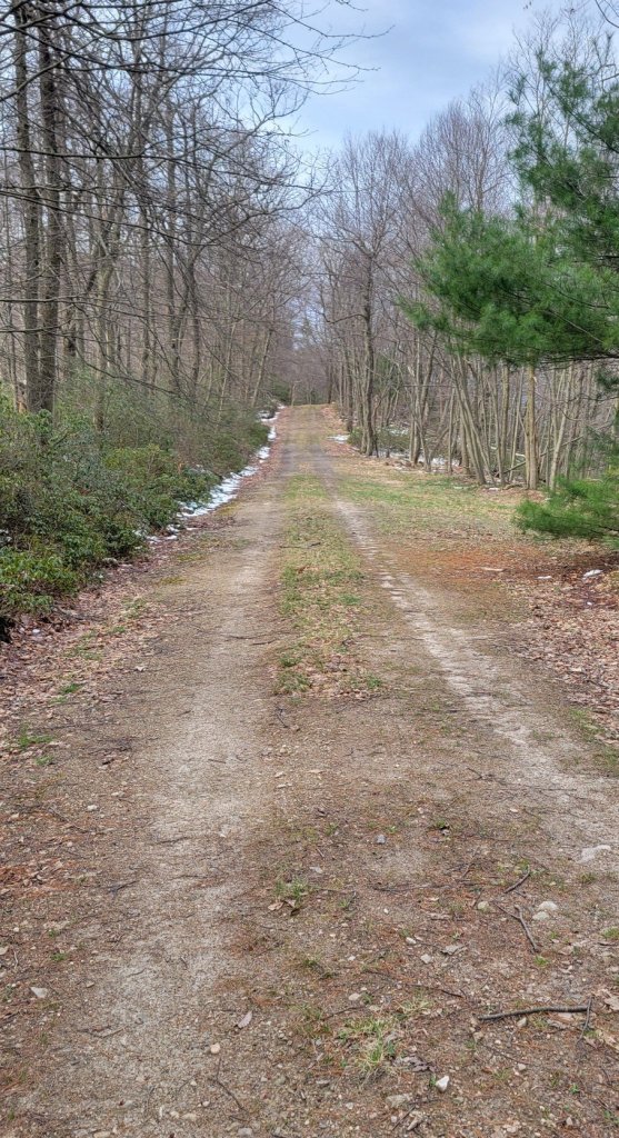
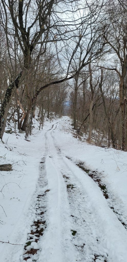
At first, the trail follows the C&O Canal towpath for 8 miles, then local roads for several miles more, before turning back to trail and climbing Tuscarora Mountain in Pennsylvania.
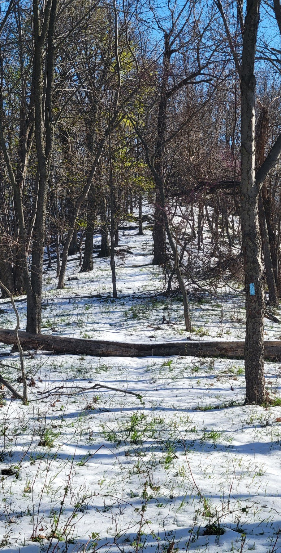
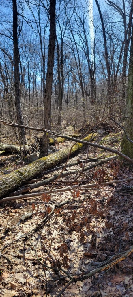
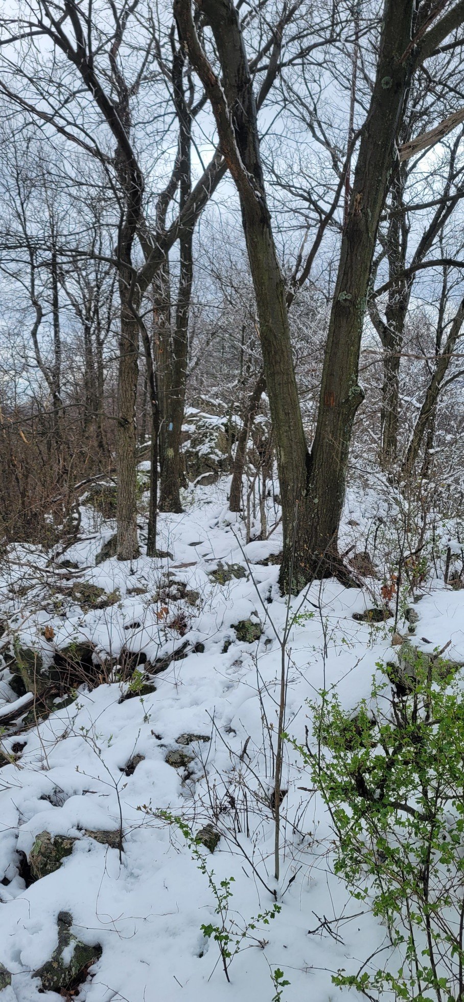
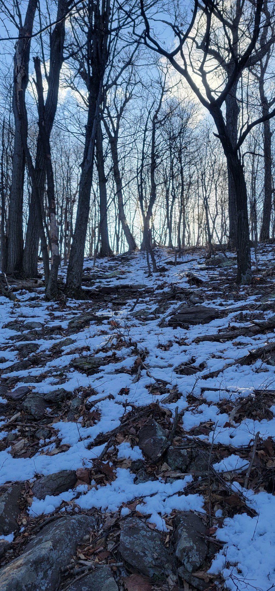
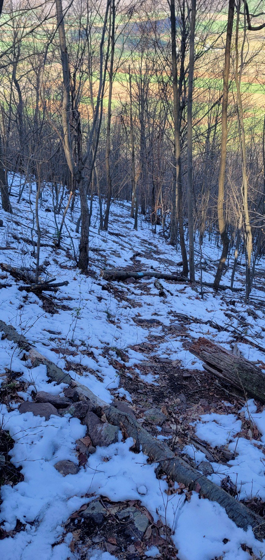
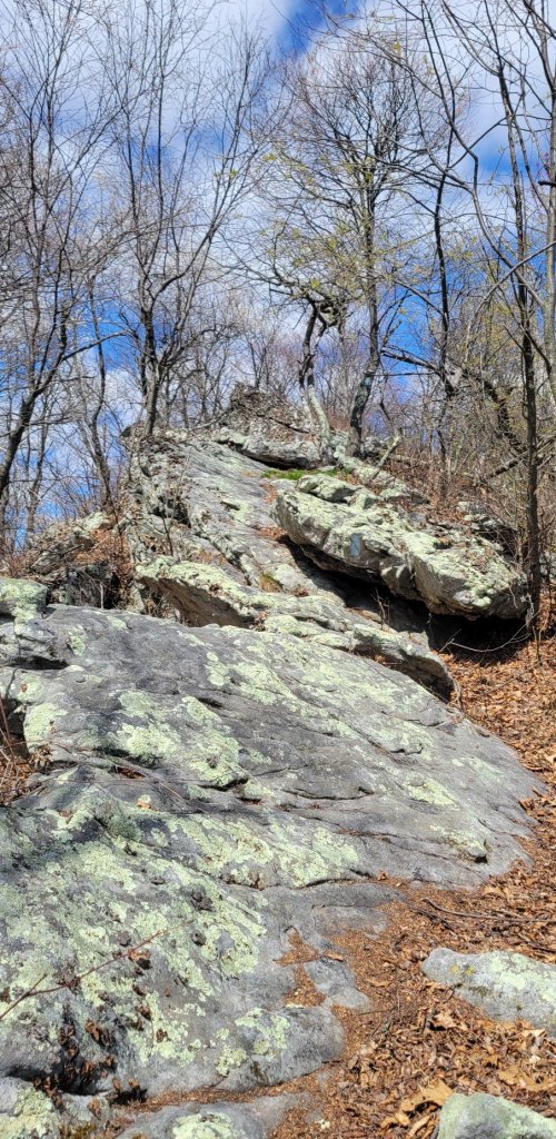
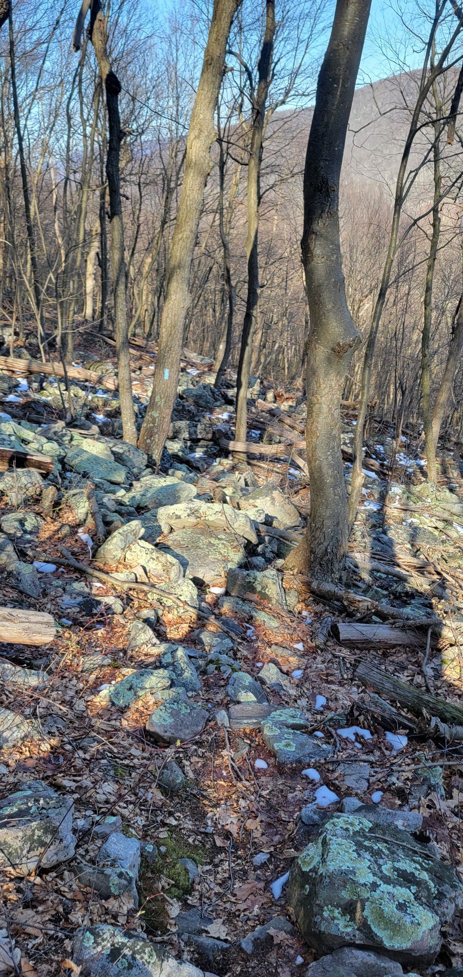
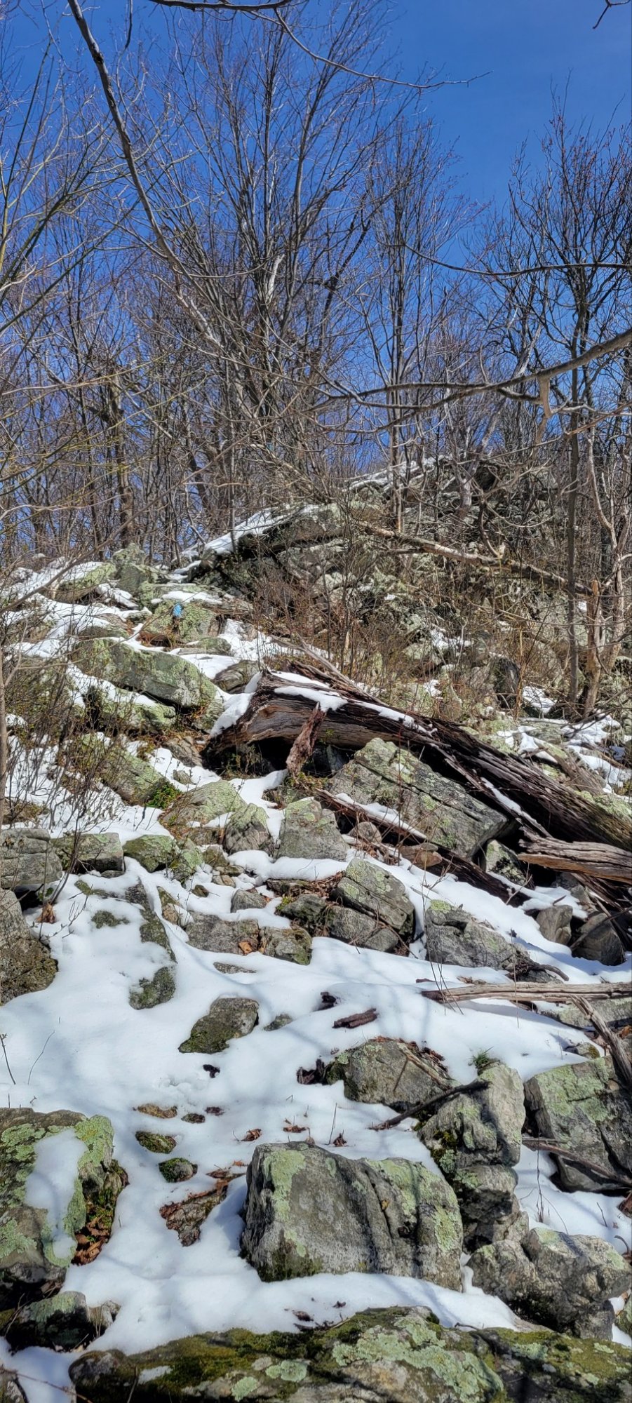
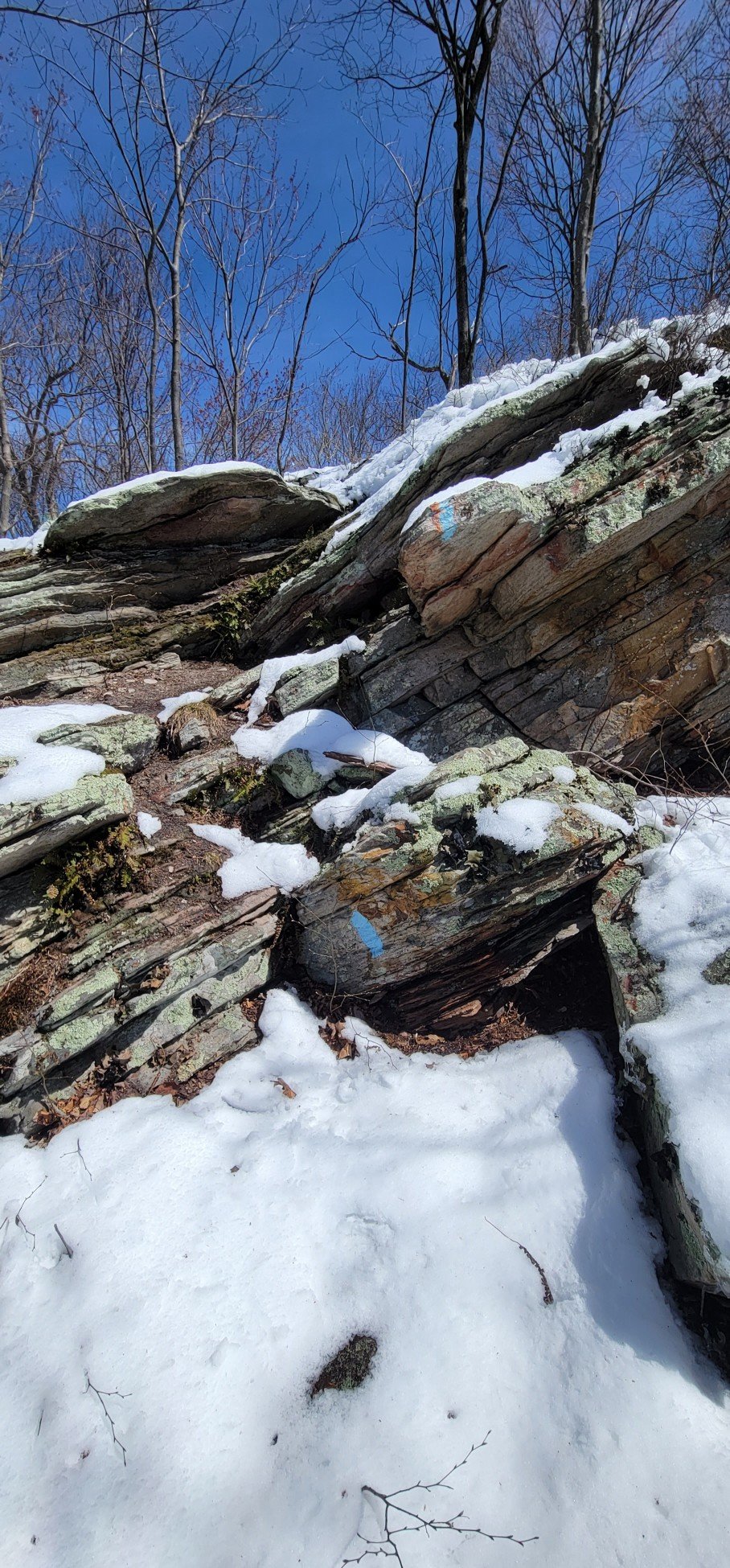
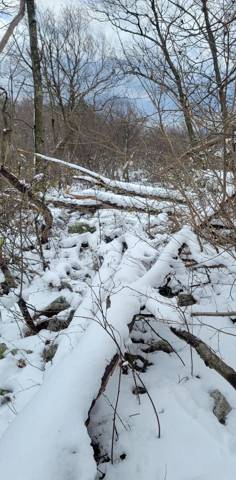
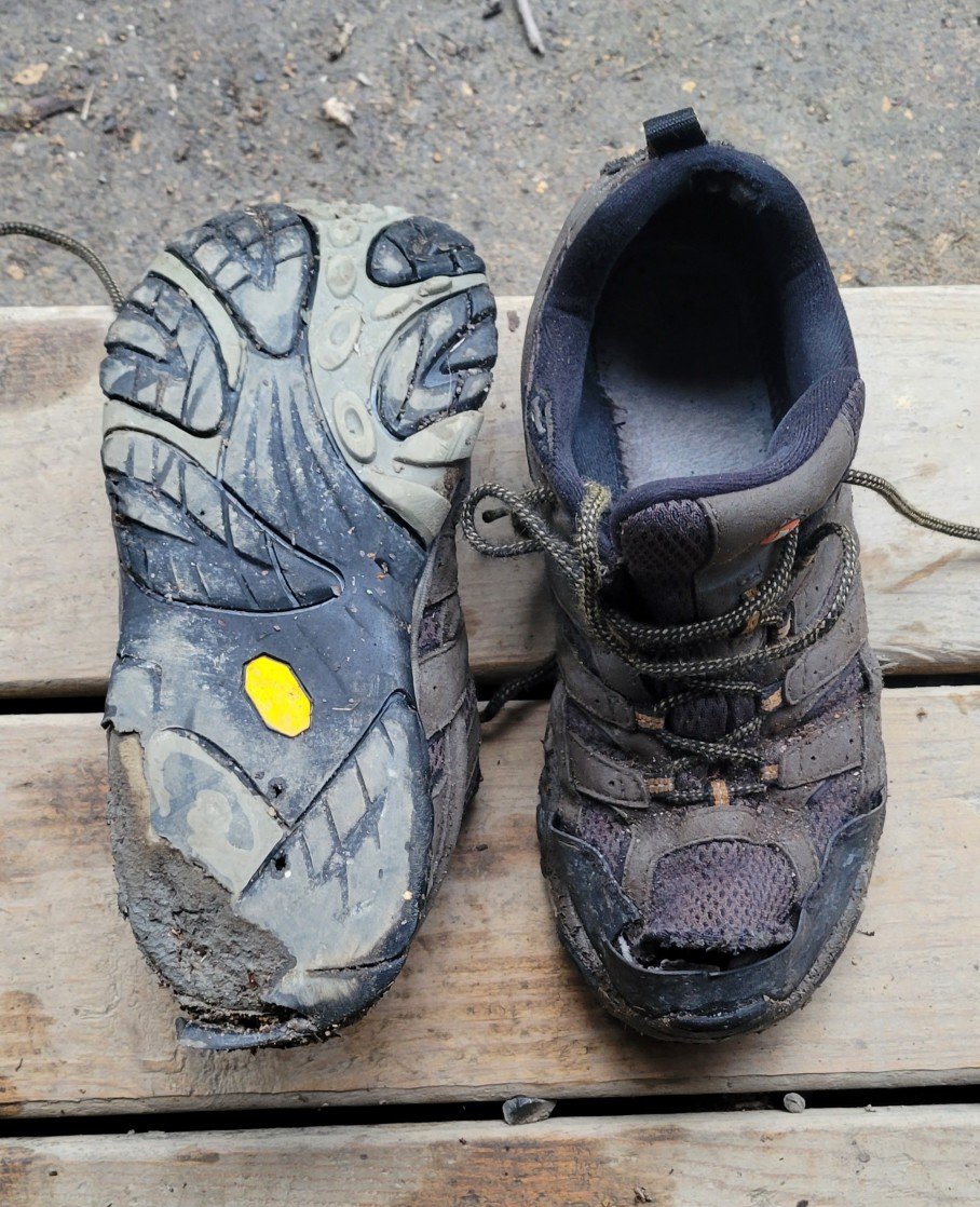
It’s in Pennsylvania where the “fun” begins. That means at least 25 miles of hiking over rock piles spread out over the last 80 miles of trail, with the ratio of rock to trail increasing as you head north.
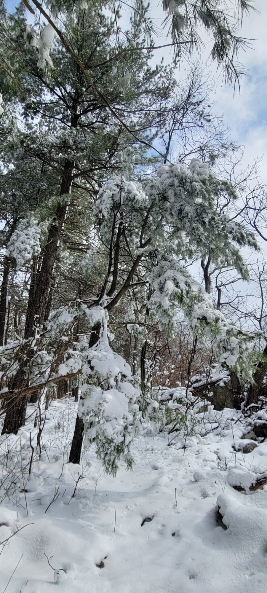
We’re not talking a rocky footpath, rather a rock obstacle course. Dangerous in dry weather, slippy in wet, absolutely scary in the snow. And yes, there was snow due to an April 18th snow storm.
I knew from hiking the Appalachian Trail 45 years ago that Pennsylvania could be rocky, but not like this. Part of the problem is that the Tuscarora Trail tends to stick to the ridge crest where rocks are the worst instead of slabbing along the side of a mountain where there might be fewer of them.
More important, there’s little to no warning on the TT website or in the TT guidebook where these rocky sections are, which is how I found myself on the rocks in the snow desperately trying not to break my leg.
I survived and made it to the end, but I would not recommend the TT in Pennsylvania to anyone. It’s the first time in my life when I was desperately happy for a hike to end.
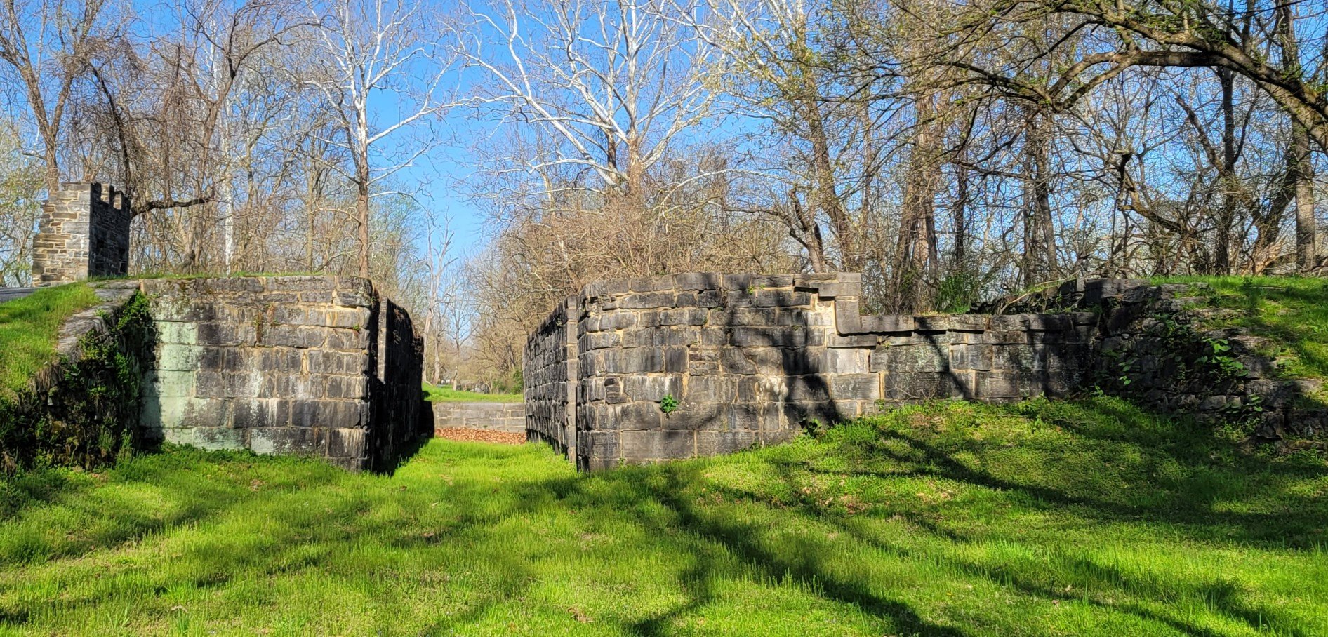
C&O Towpath
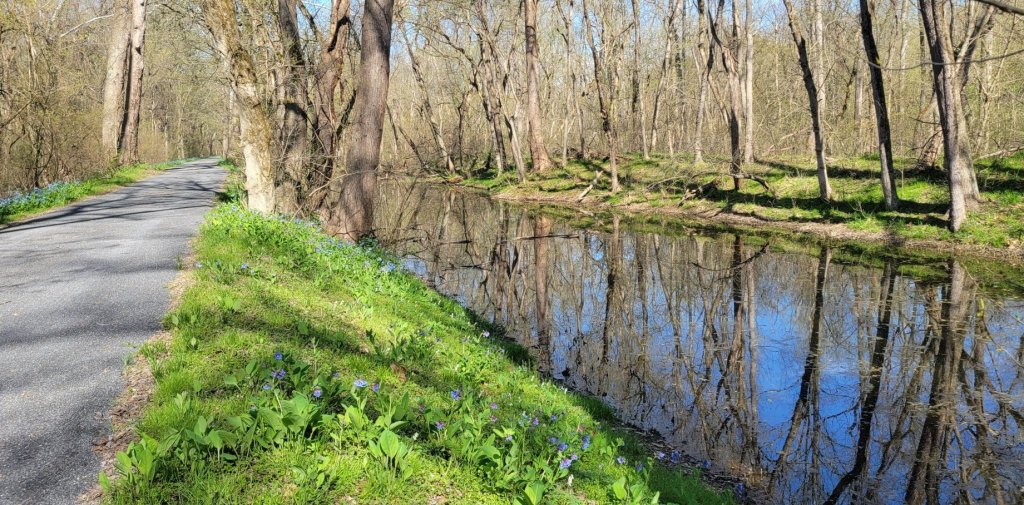

To the right is the Potomac River.


The C&O Canal is 184 miles long.
It stretches from Cumberland, MD
to Washington, DC.

allowed a creek to pass under the canal.


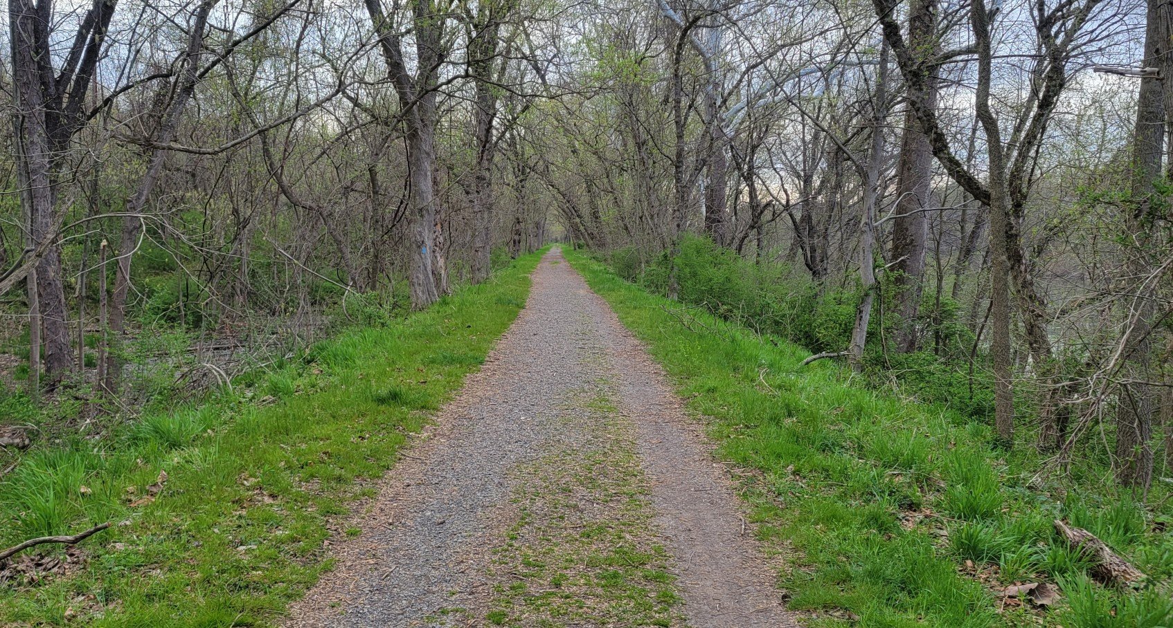
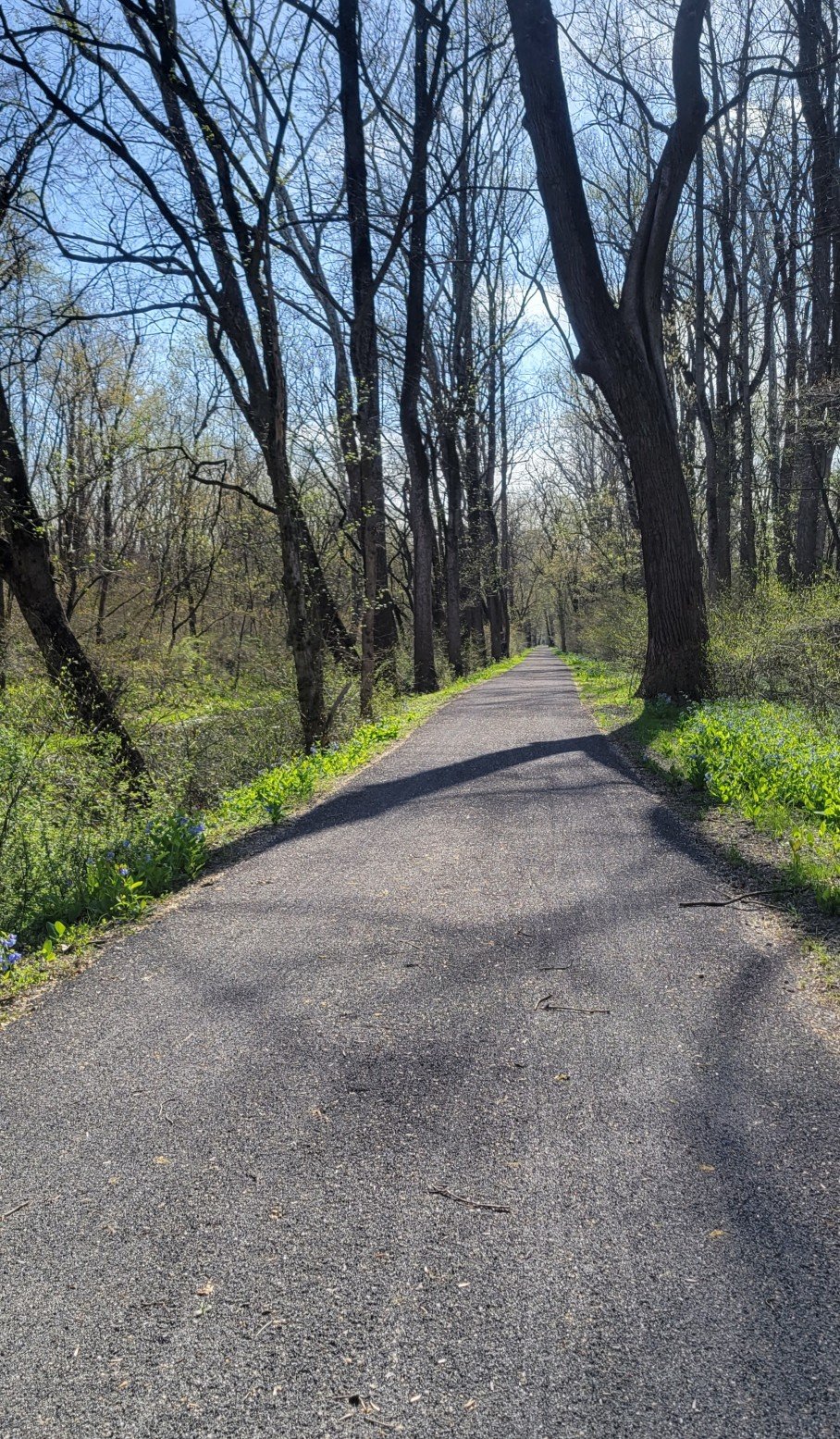
Trail Photos — the Good, the Bad, and the Ugly
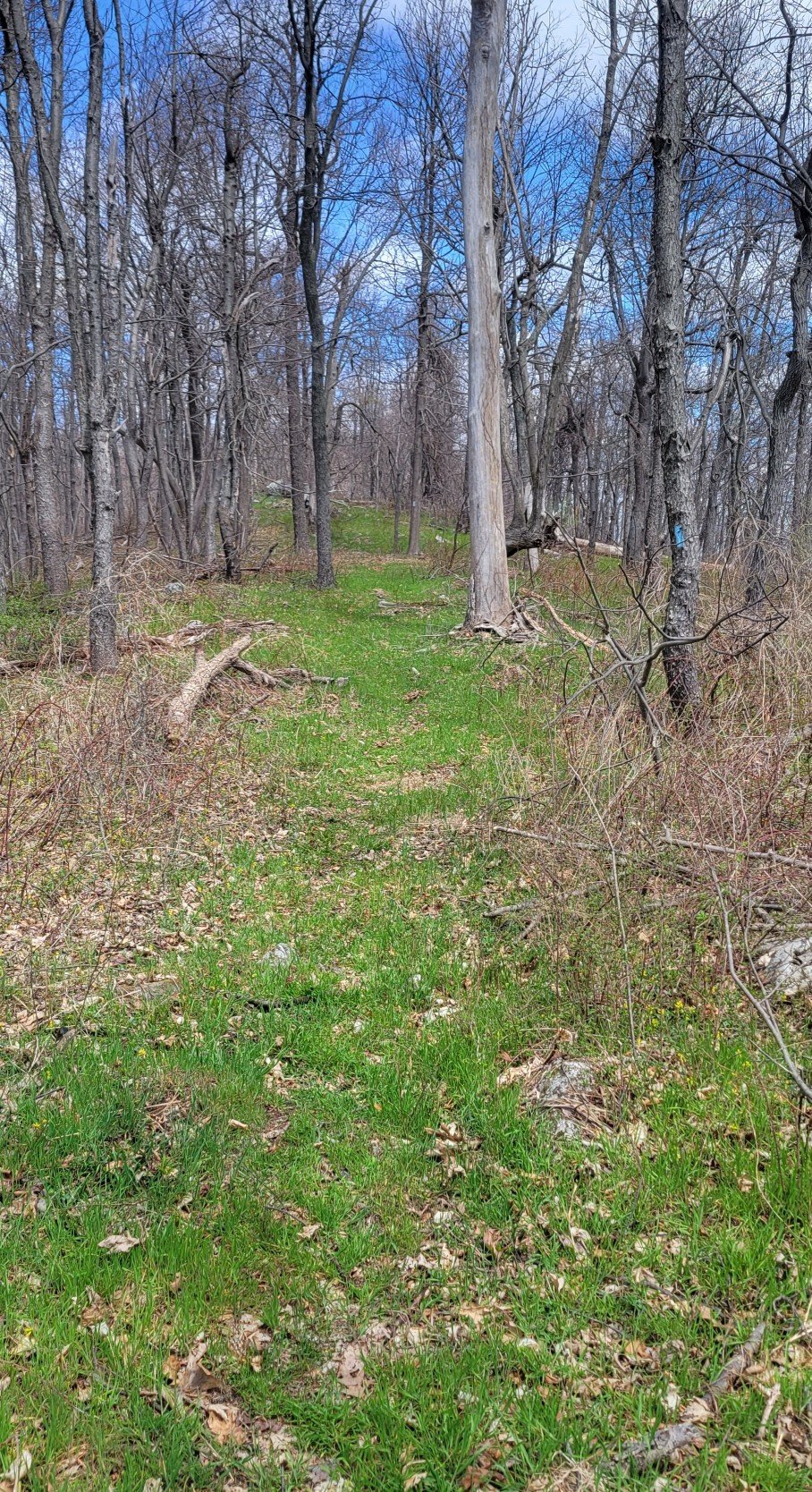
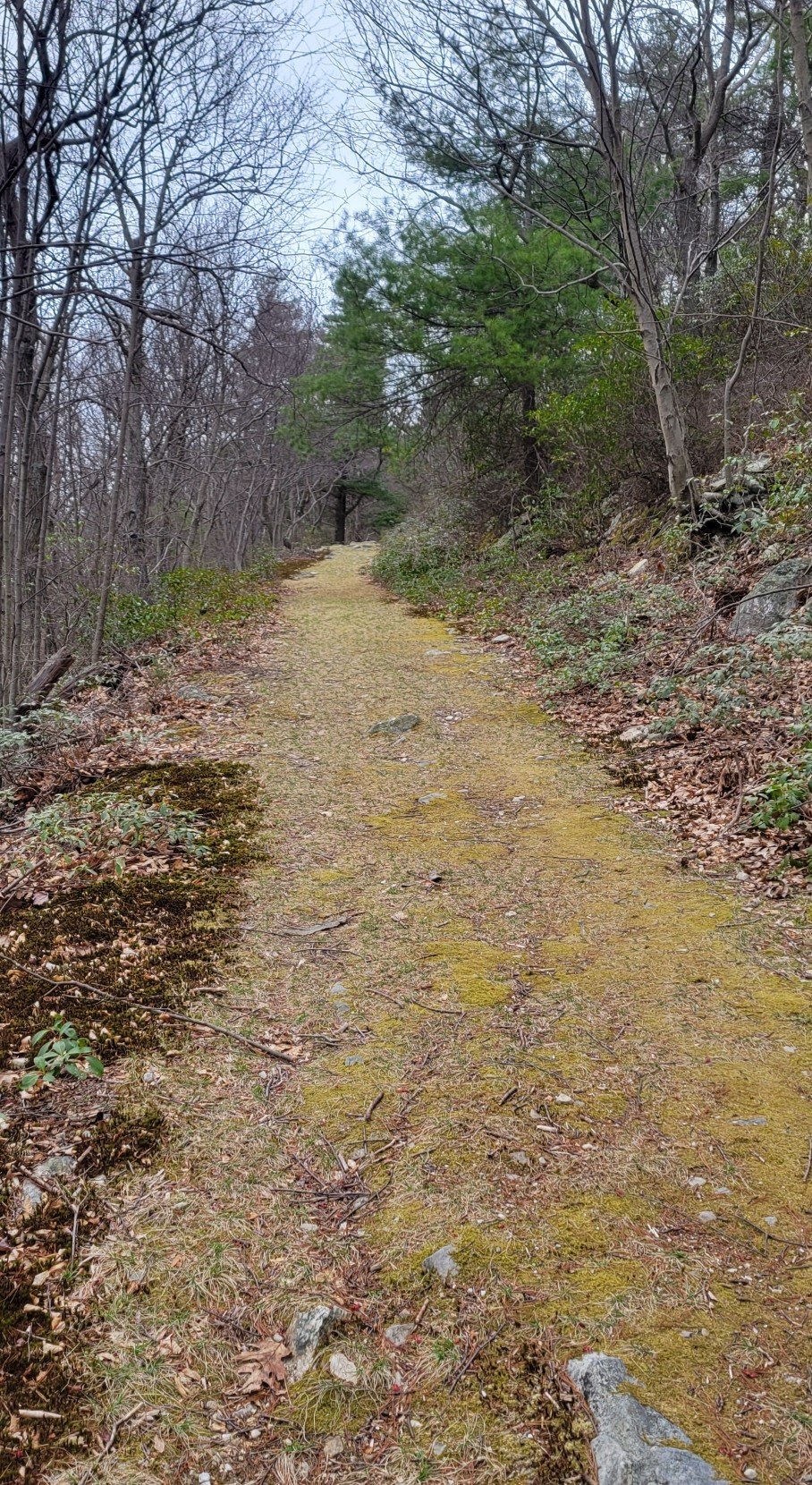


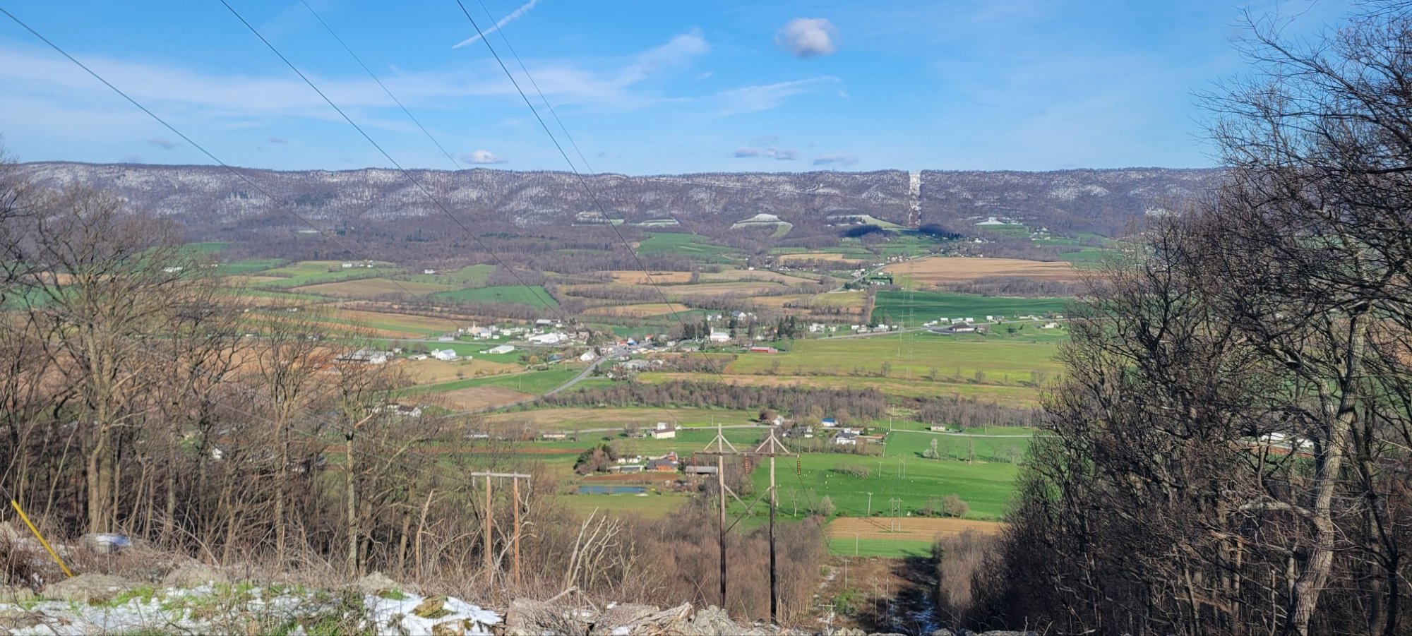
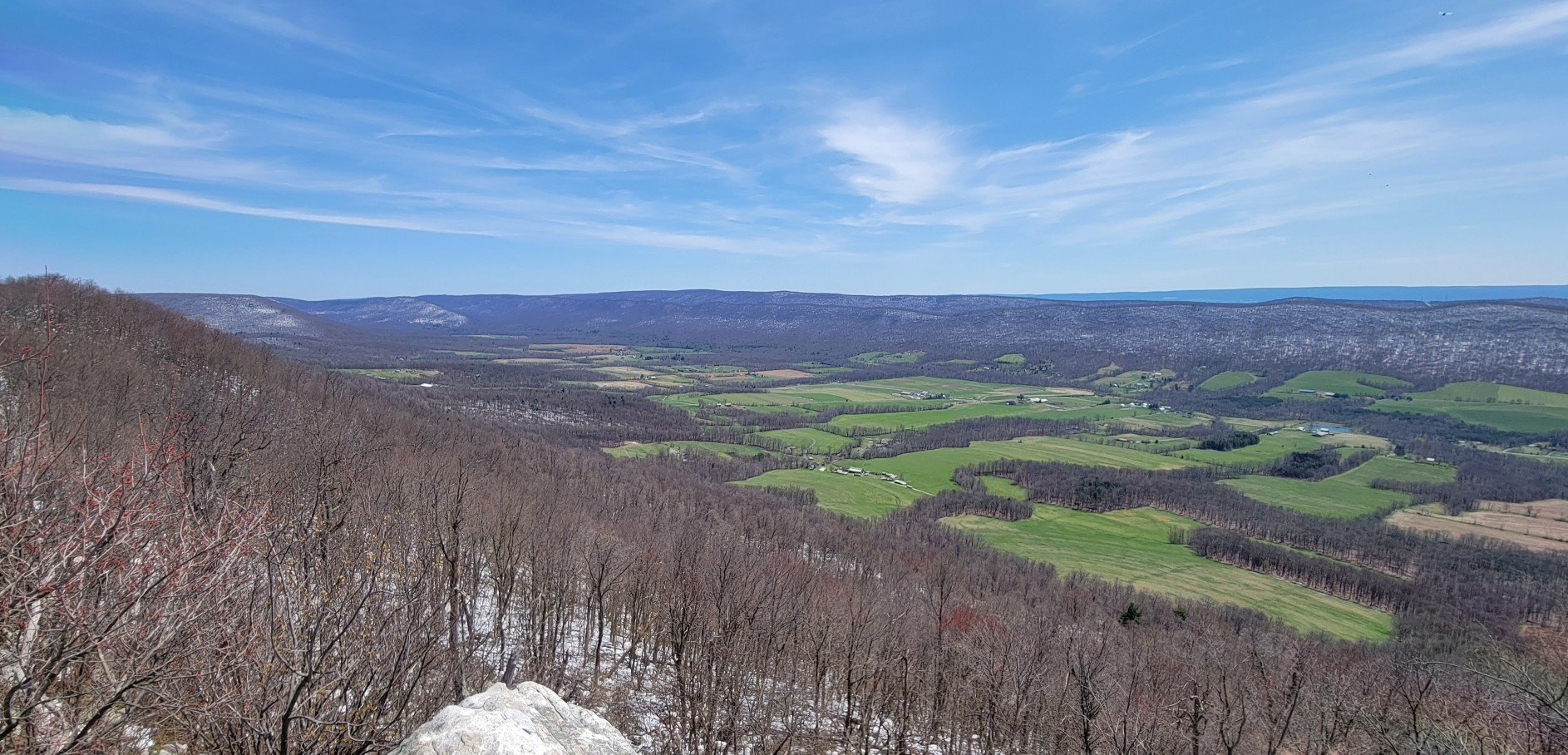
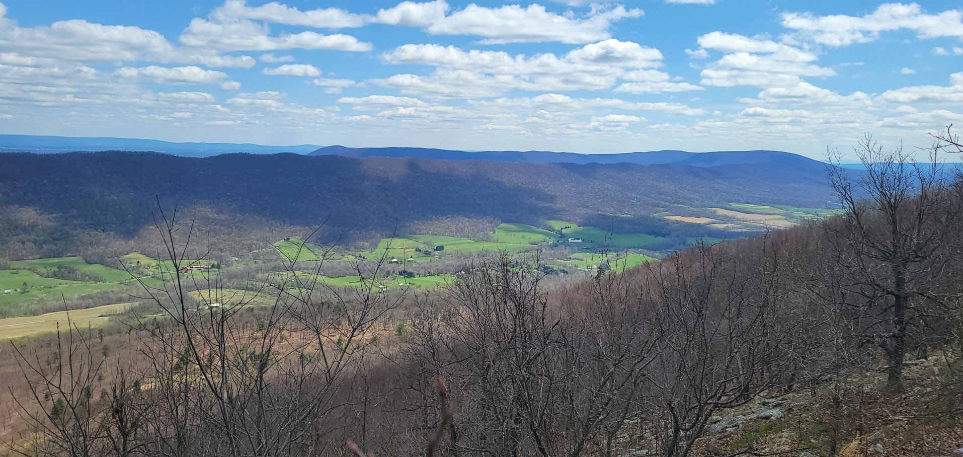
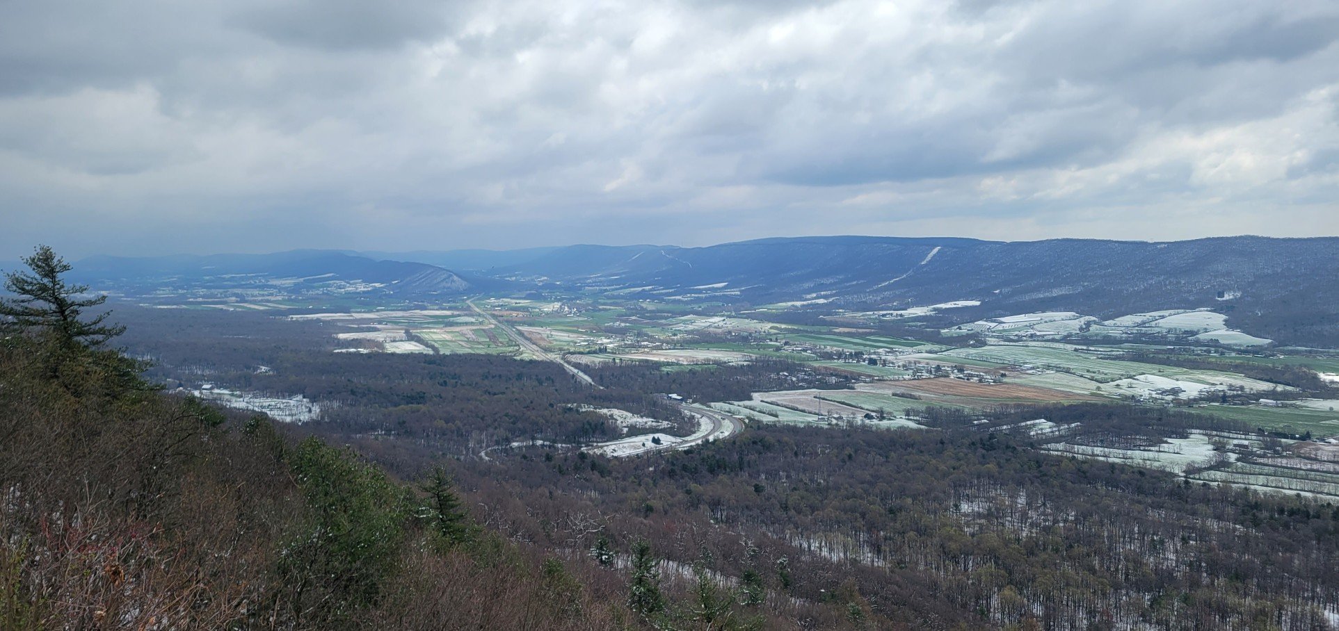
Views

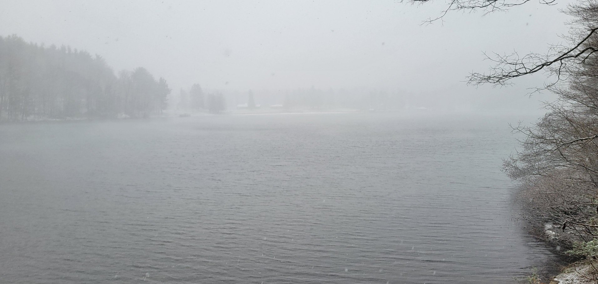
on the other side of this lake.
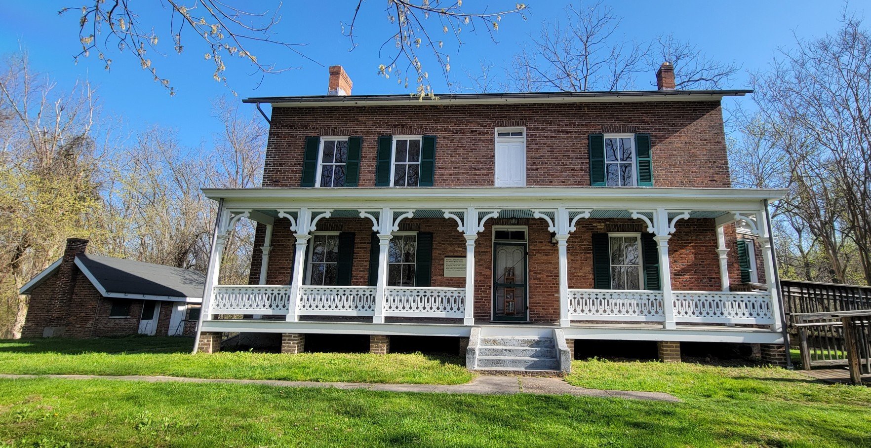
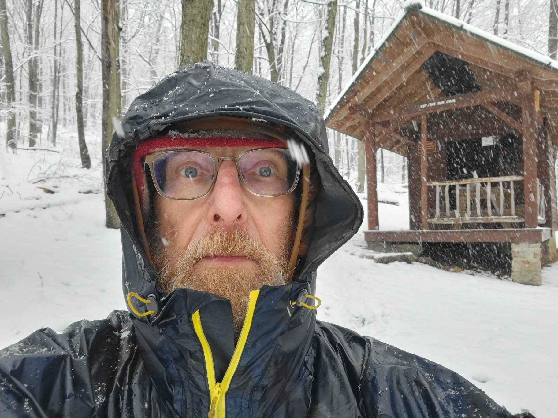
Shelters
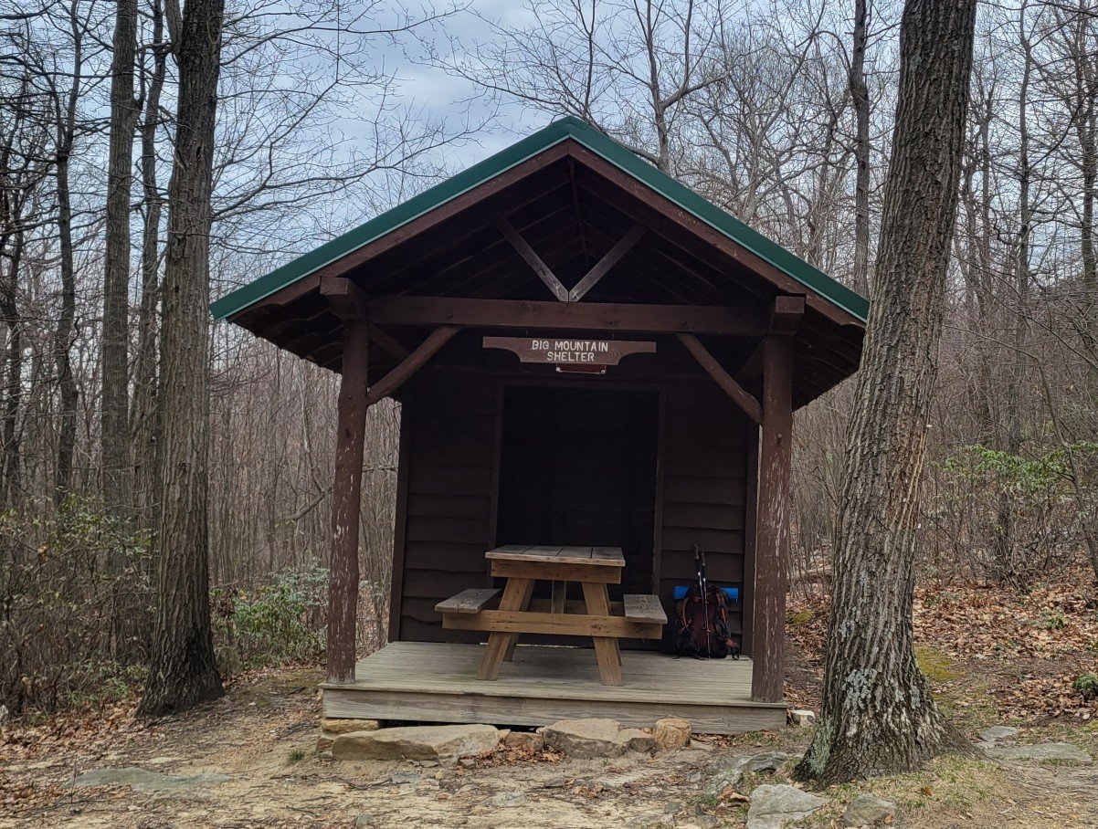
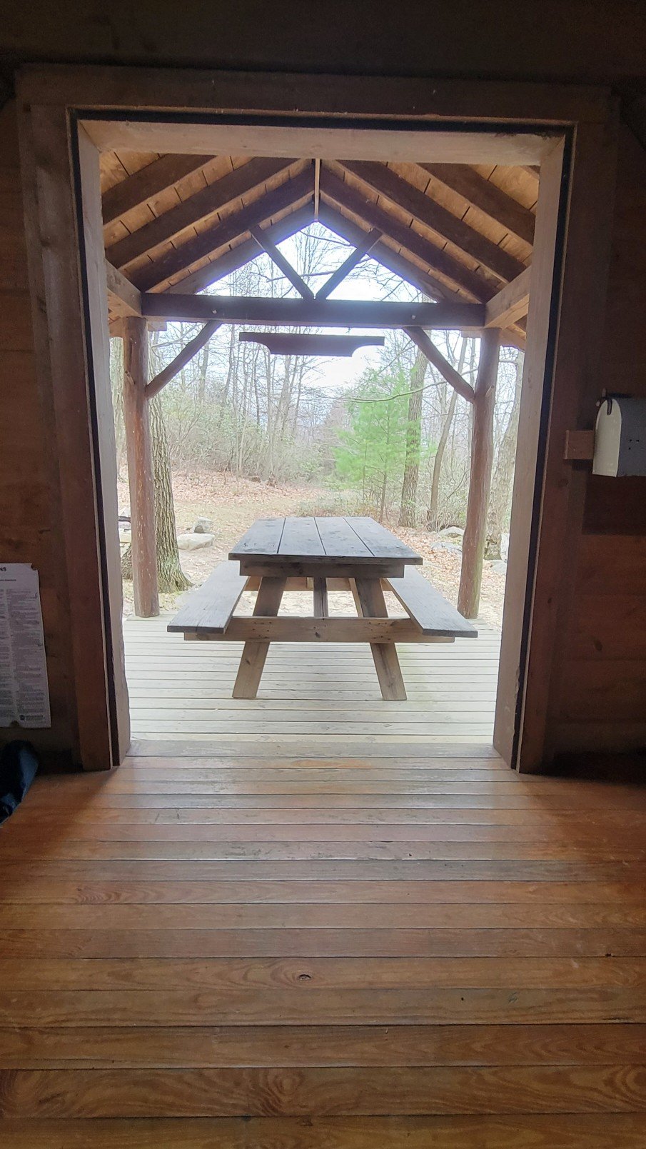
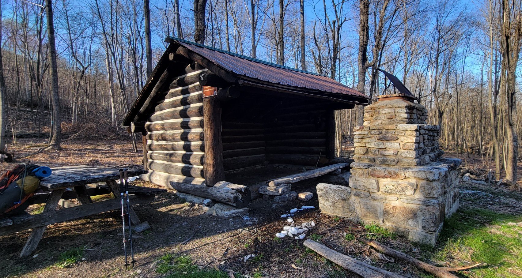

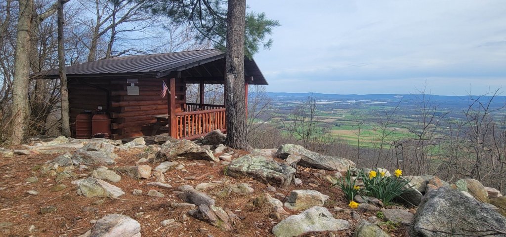
Definitely a room with a view.
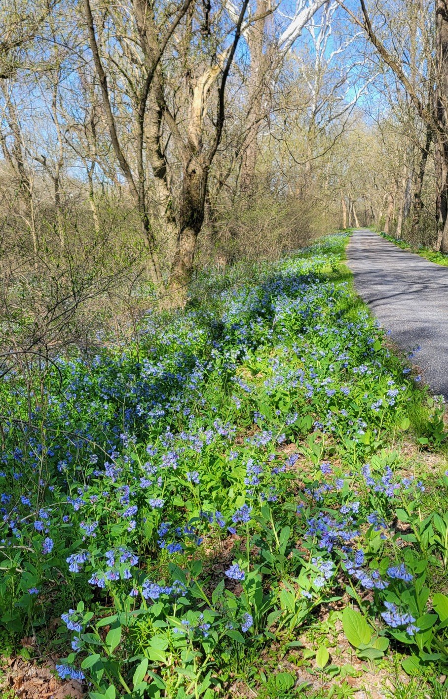
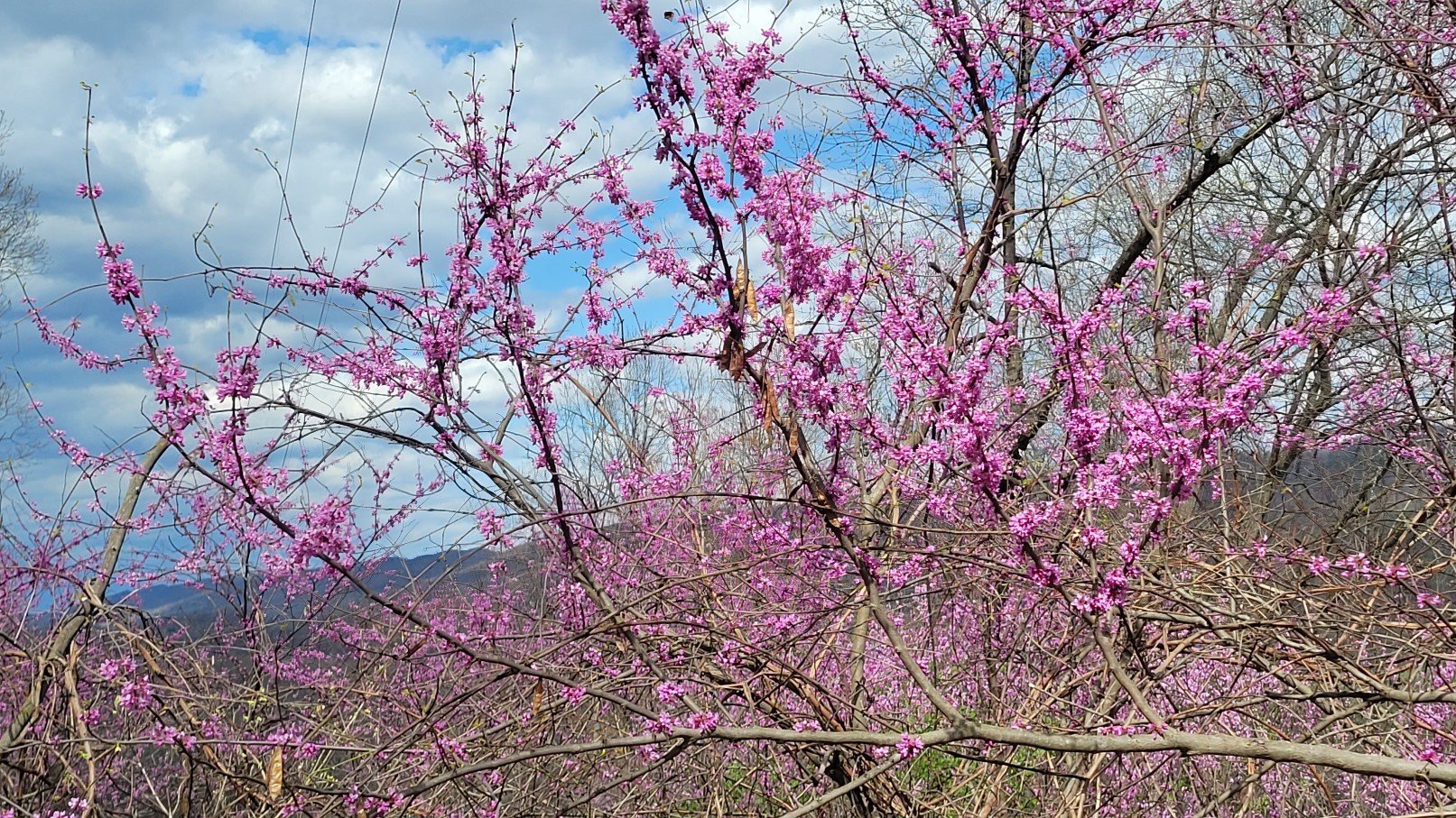
Flora
Fauna


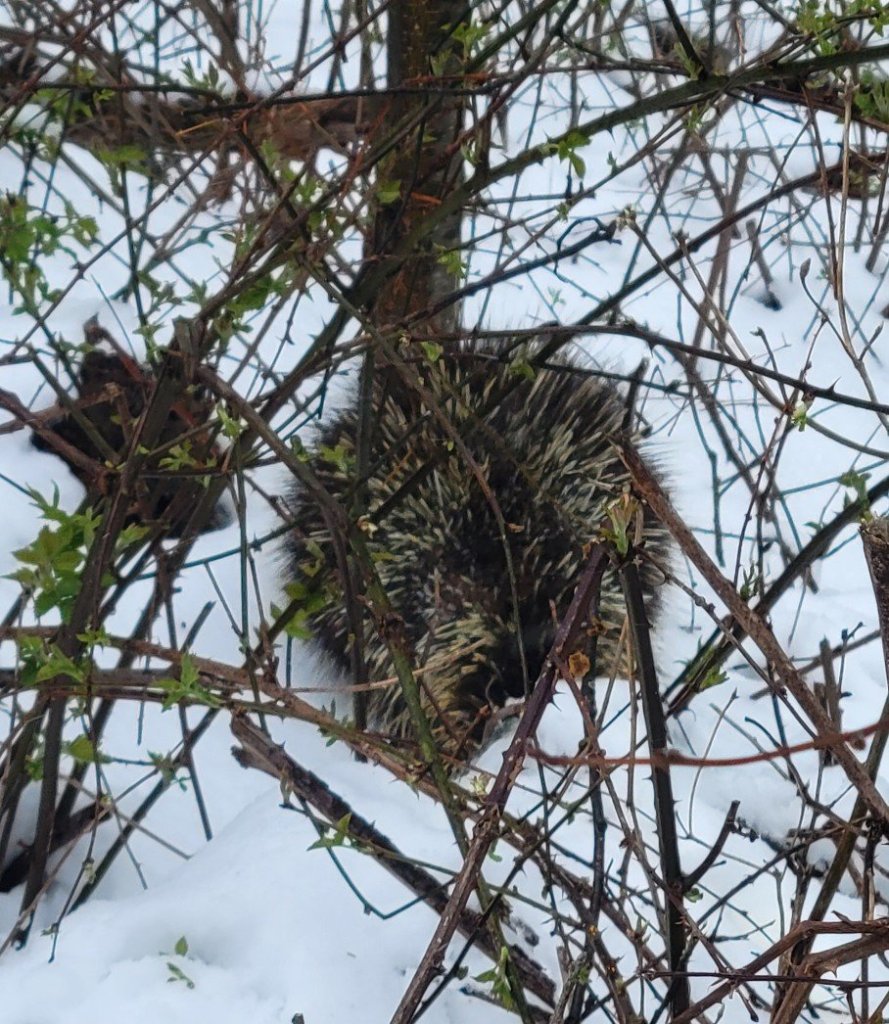
He was huddled by the trail on a very cold day.
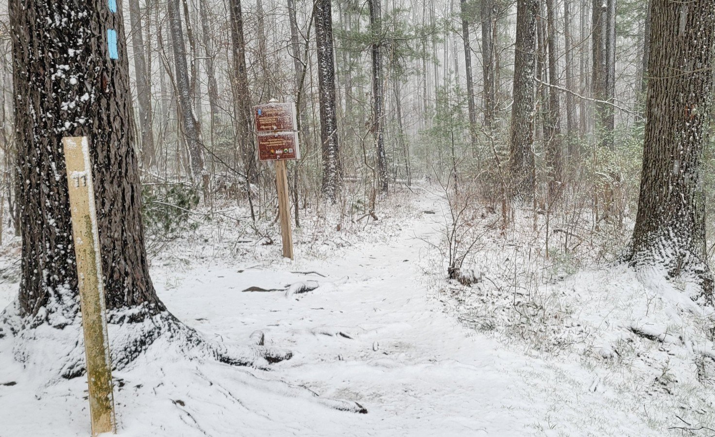
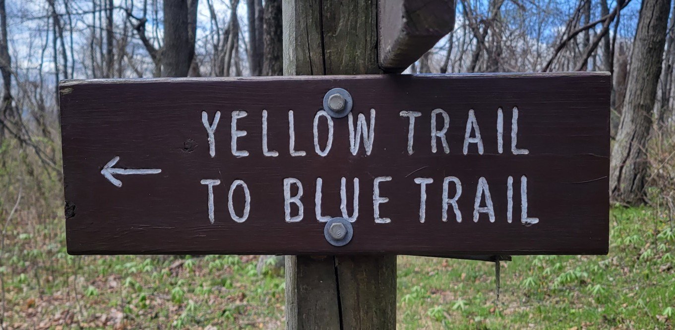
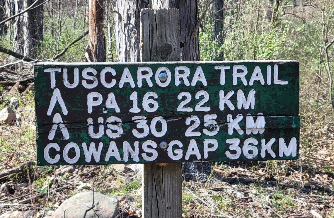
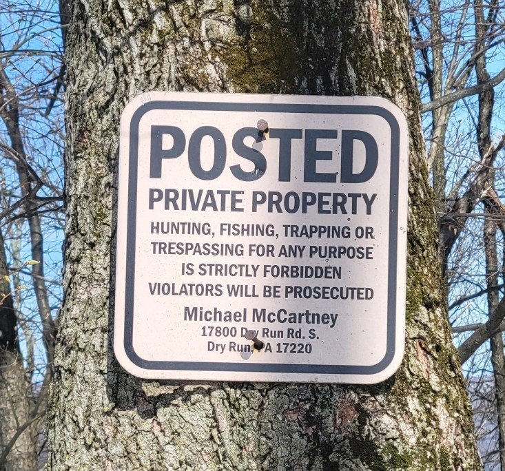
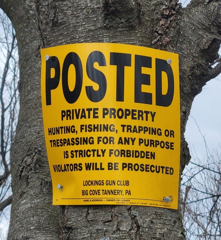
Signs
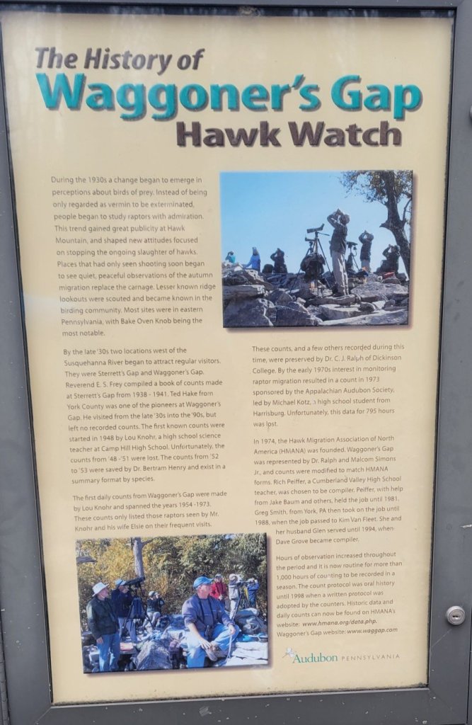


to be a religion in Pennsylvania.
Don’t you dare hunt on my property.

On my TT hike, I also crossed US Route 40
and US Route 50. US 30 begins in Philadelphia
and heads west. US 40 begins in Baltimore.
US 50 begins in Washington.
Odds and Ends
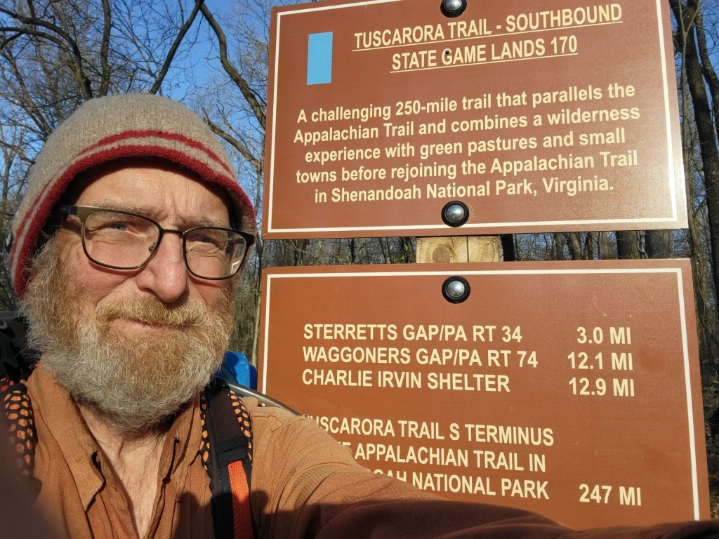
Glad to be done, glad to be going home.

You did it!!!
LikeLike
I felt the same way after doing mahoosuc nothch, the arm and the so-called “trail” in southern Maine. Que the “Doors”, “Five to one, baby, one in five, noone here makes it out alive…”
LikeLike