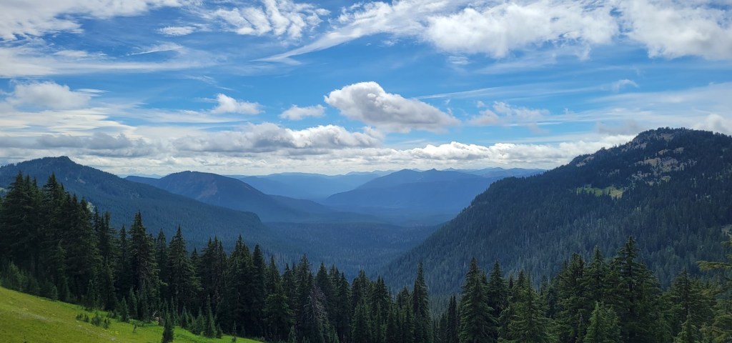
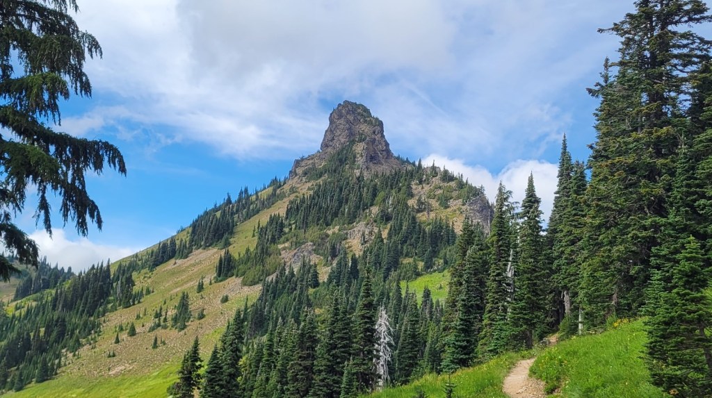
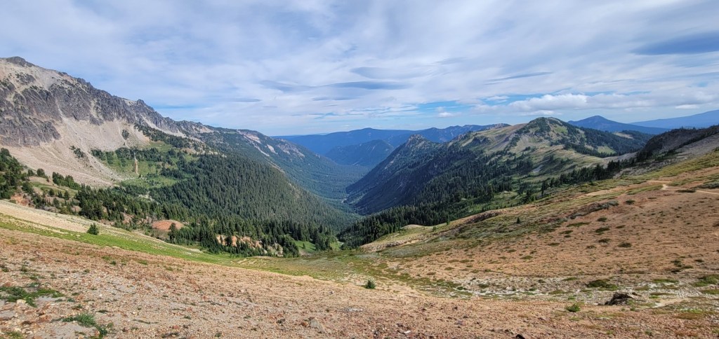
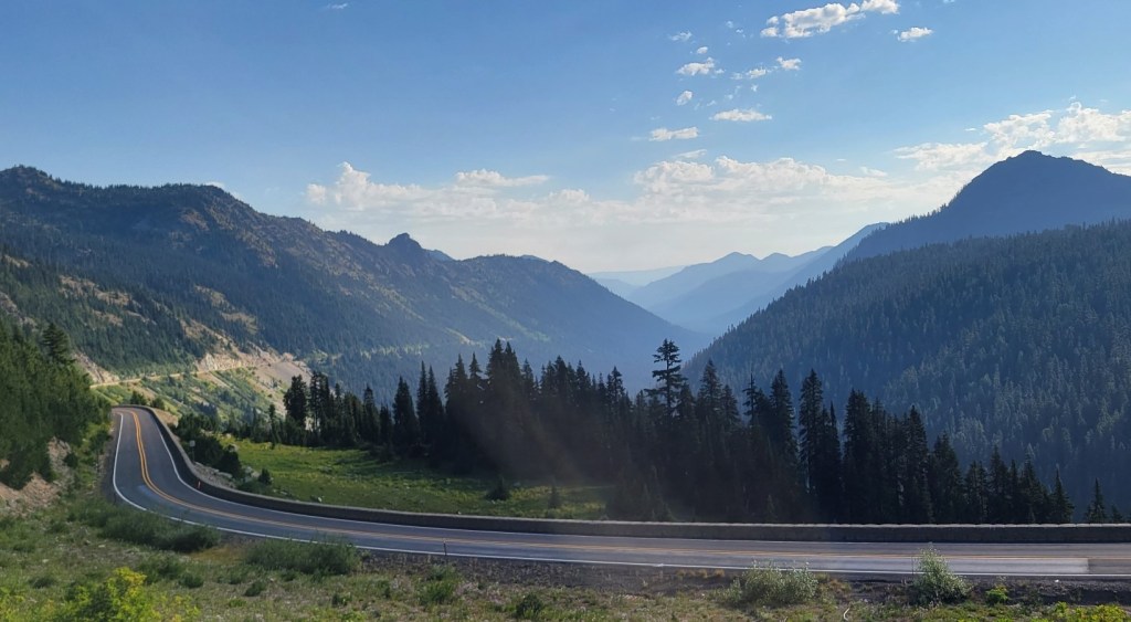
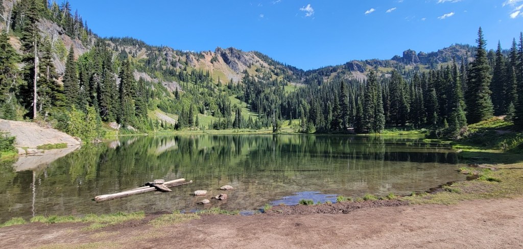
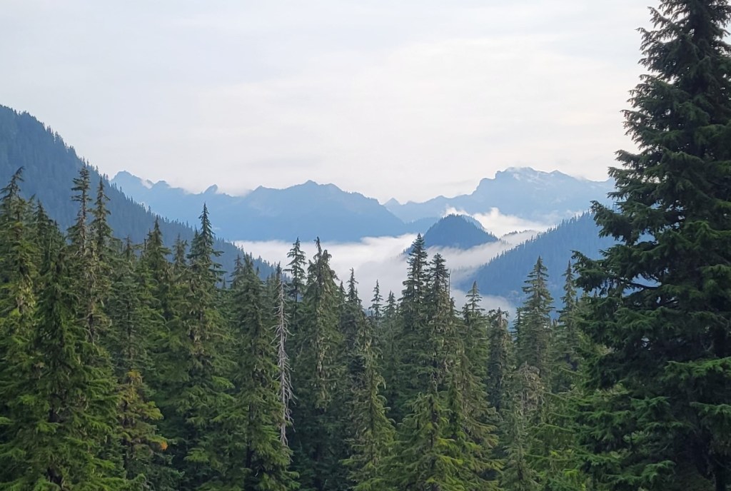
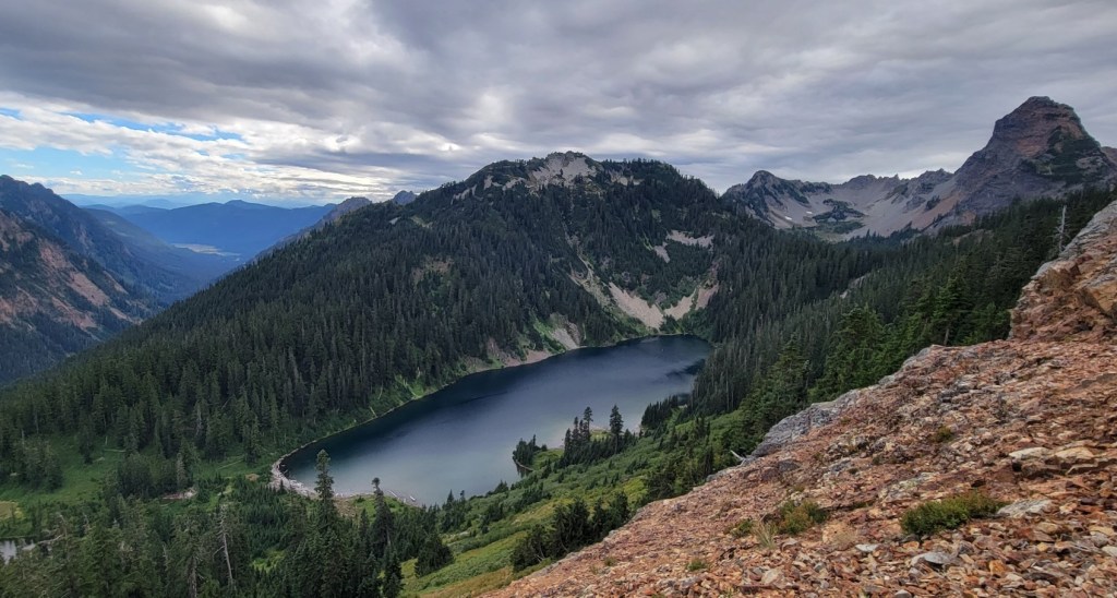
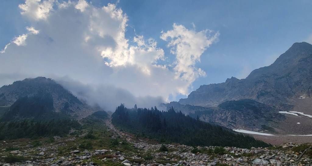
As will see from the photographs, I was blown away by the beauty of the Cascades. Not just by the volcanic peaks, but also by the Goat Rocks Wilderness south of White Pass and the Alpine Lakes Wilderness between Snoqualmie Pass and Stevens Pass.
The one negative was realizing the extent of glacier loss as I compared what I saw today with what my National Geographic PCT map set showed to be the case in 1983.
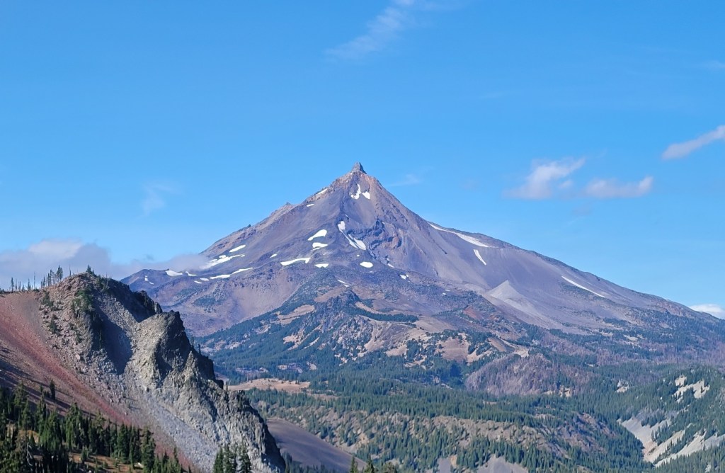
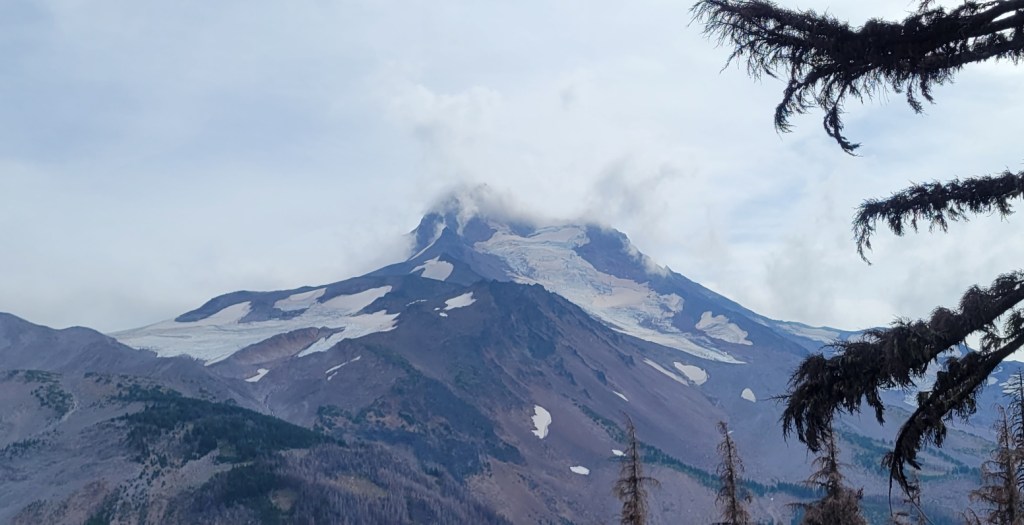
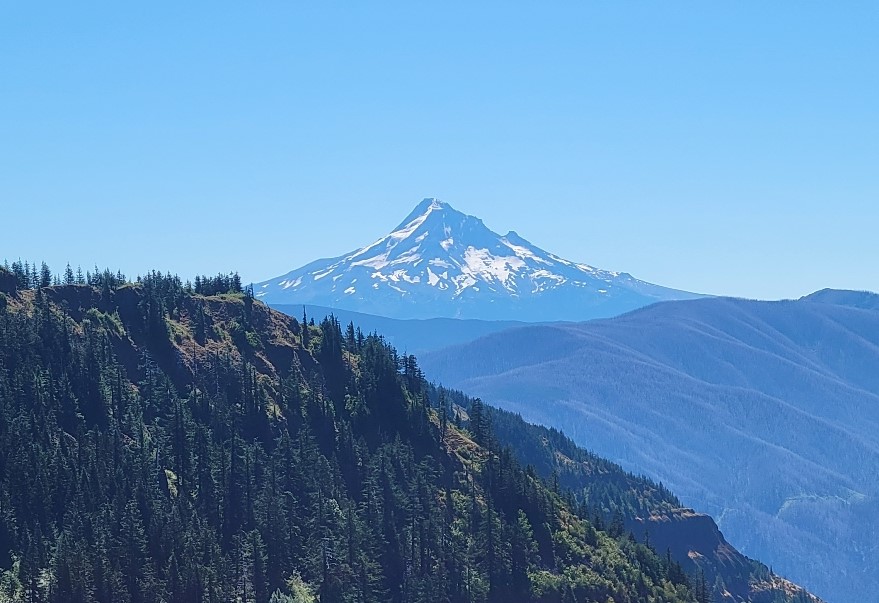
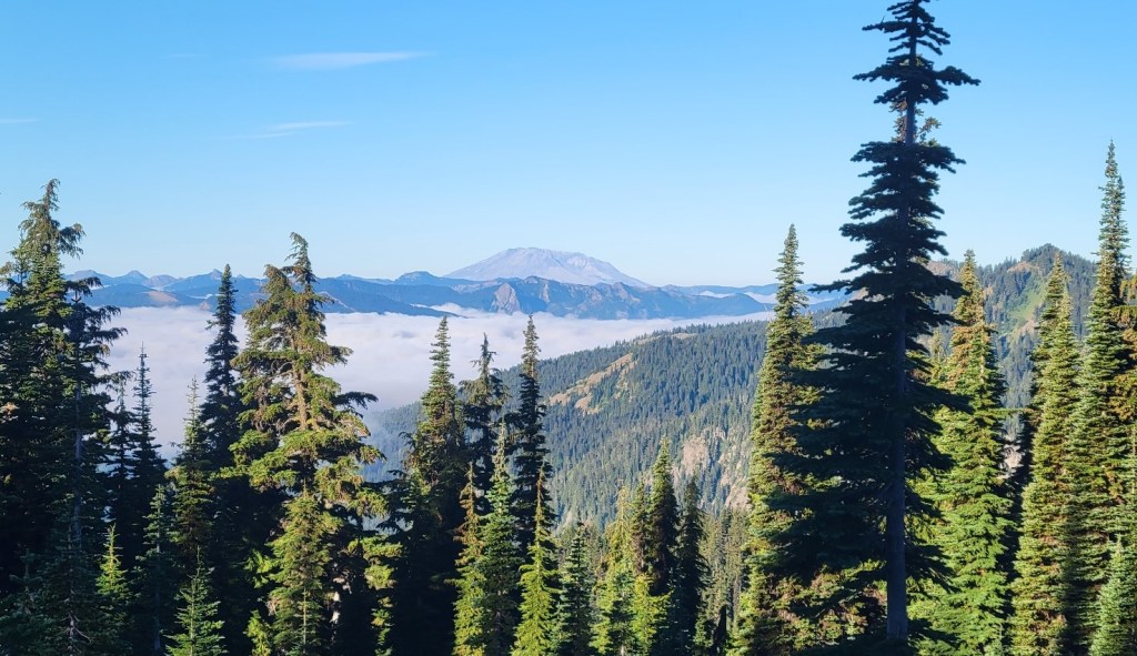
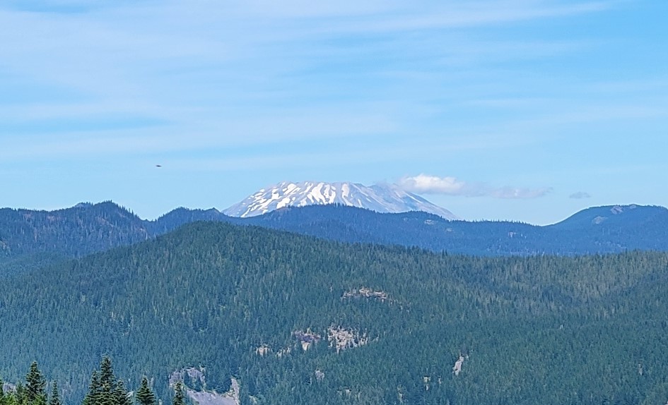
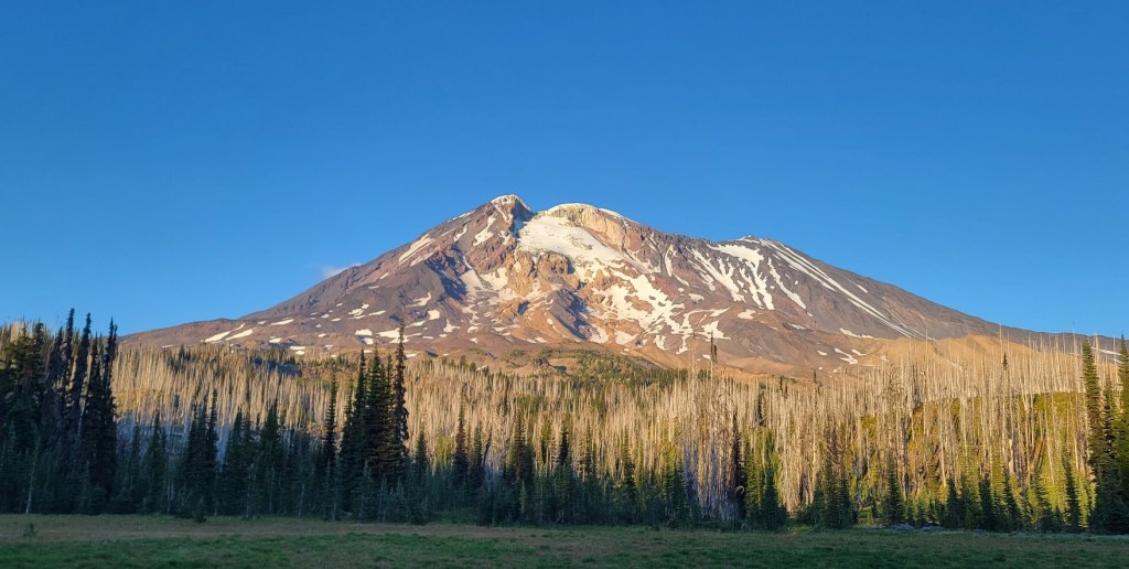
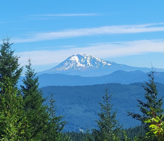
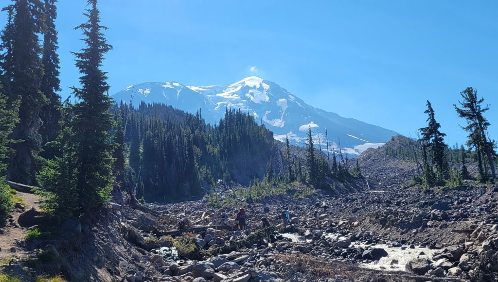
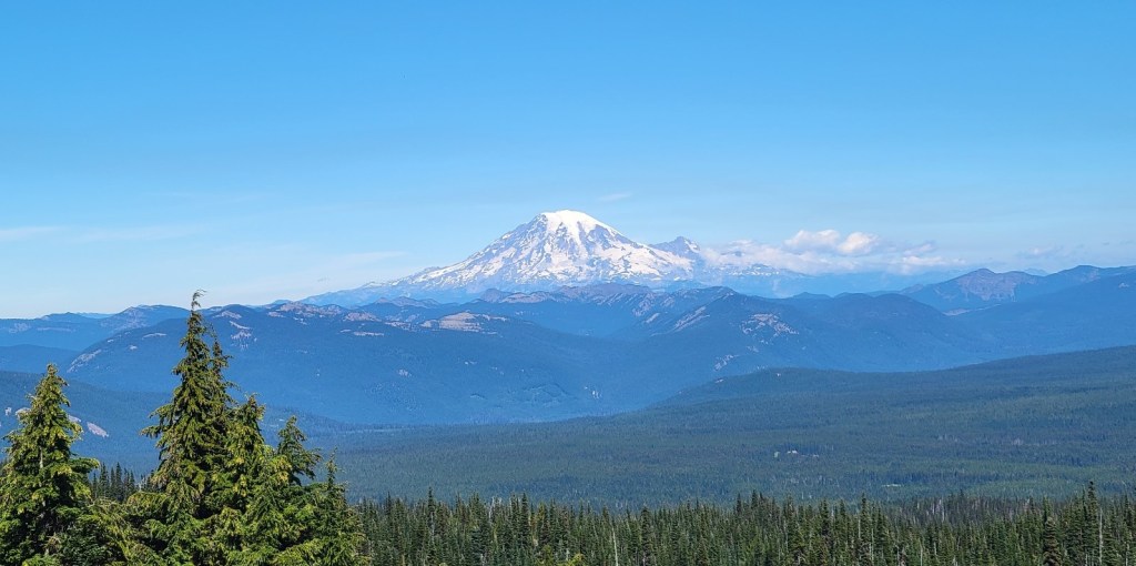
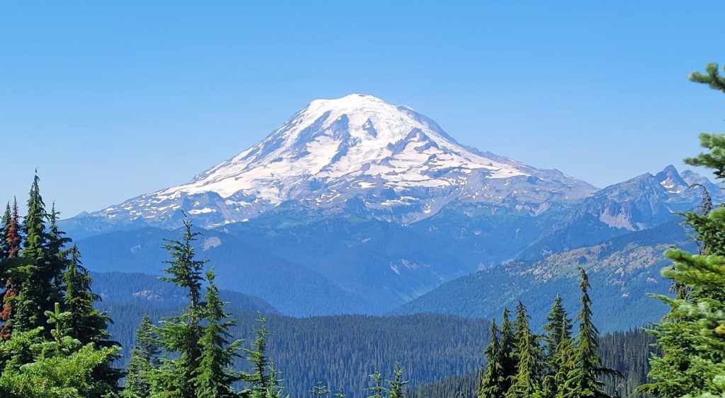
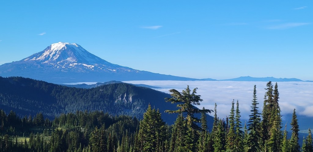
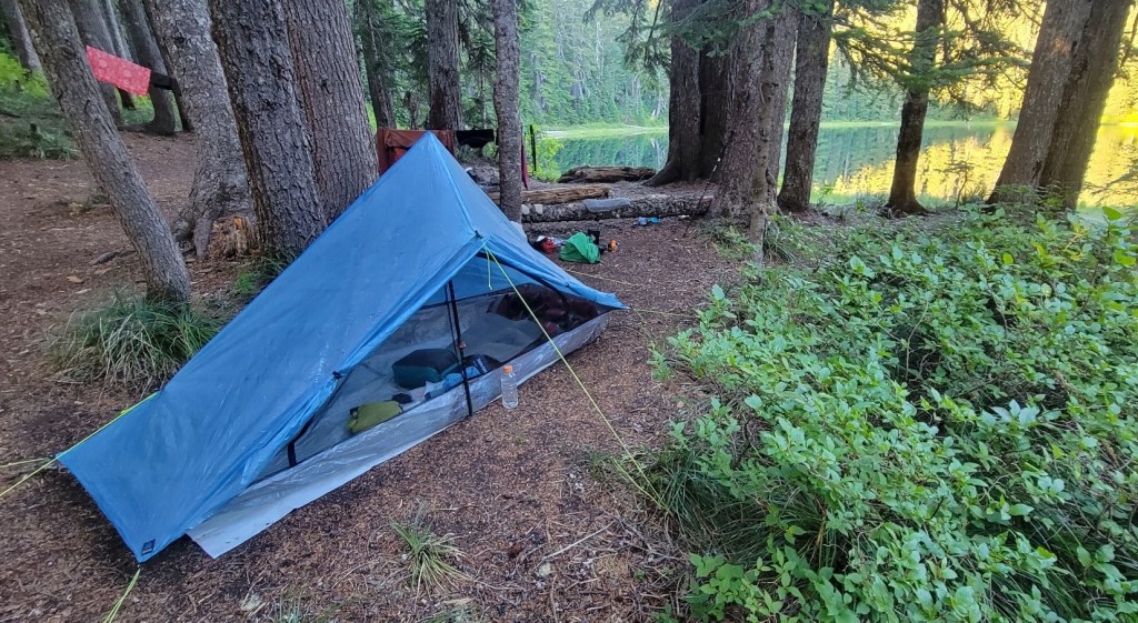
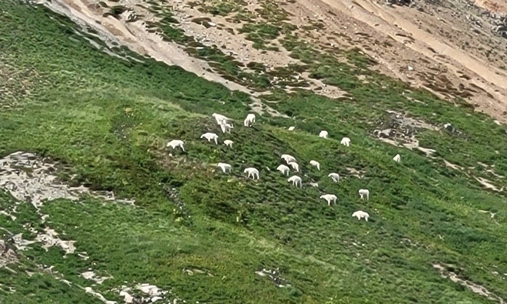
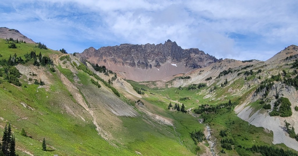
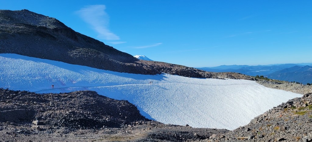
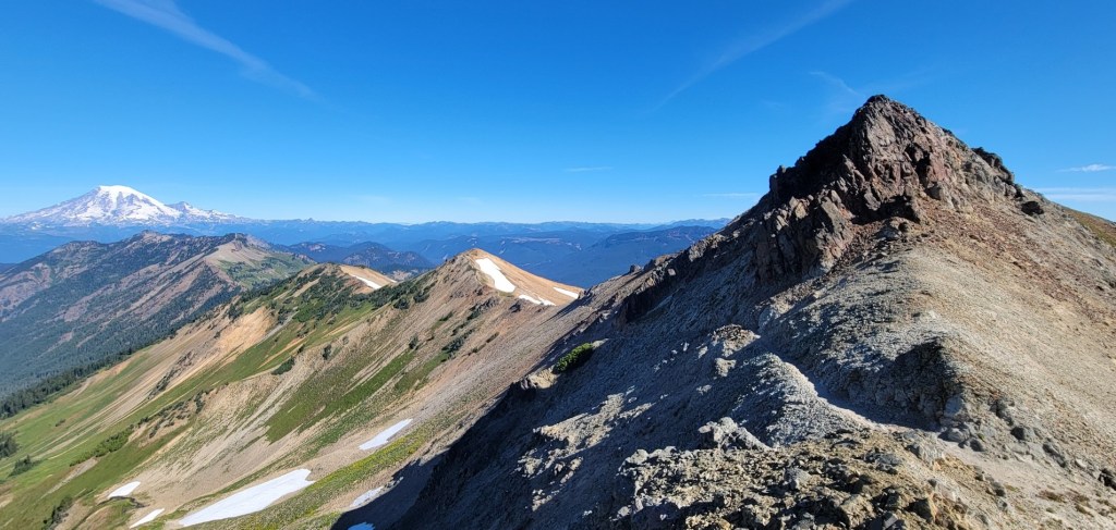
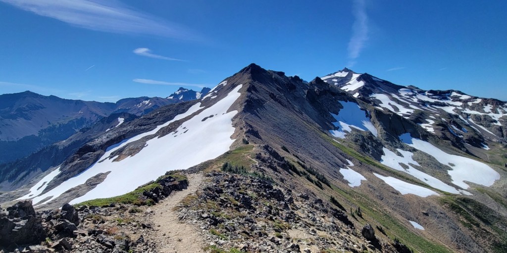
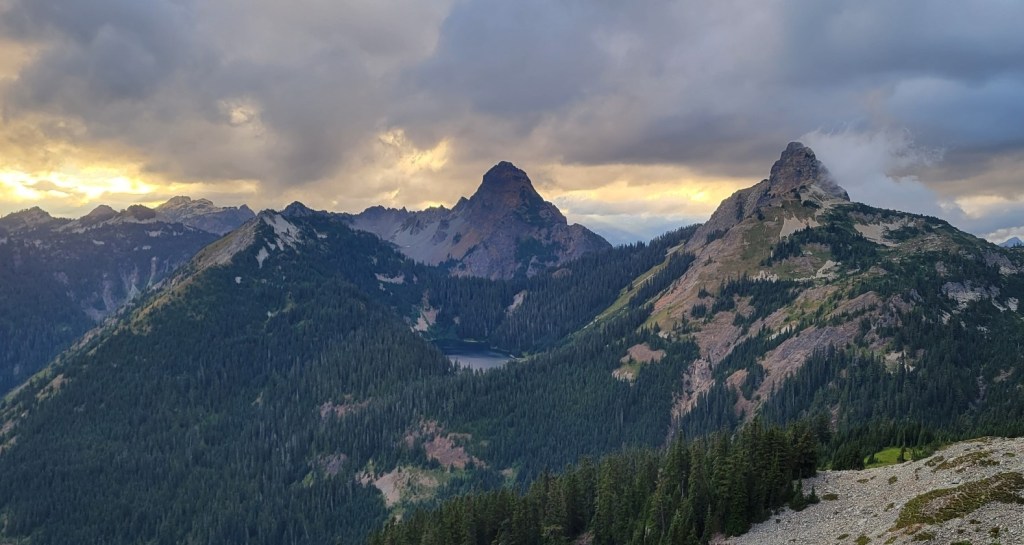
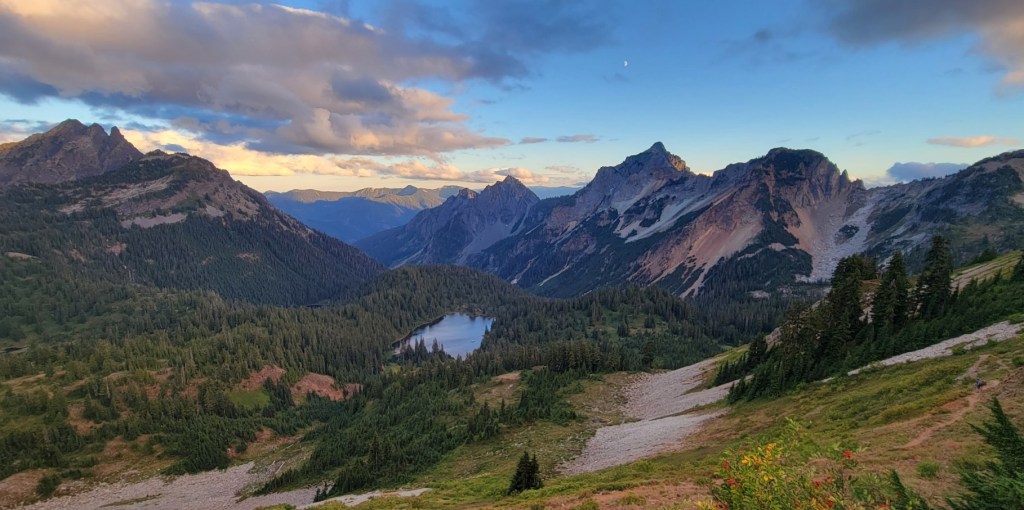
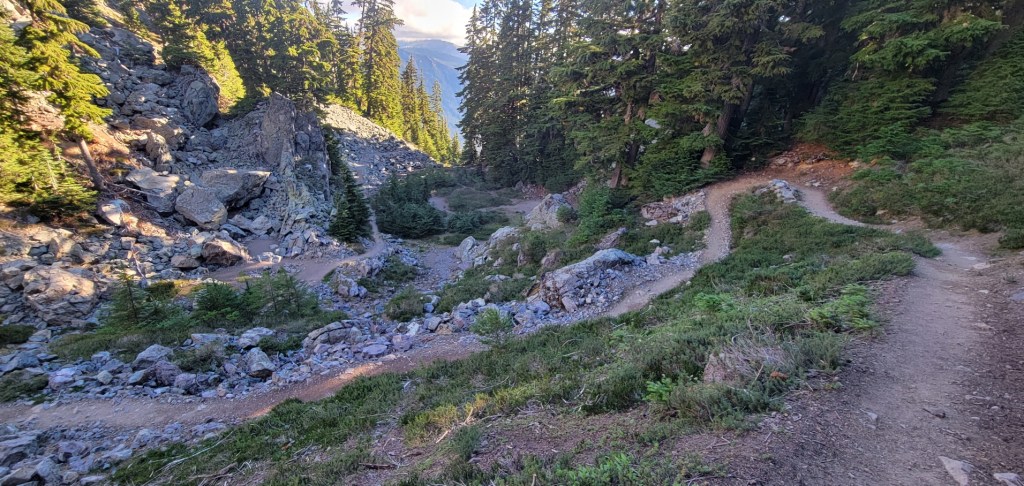
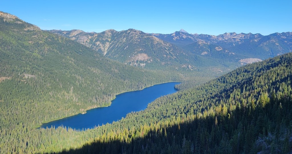
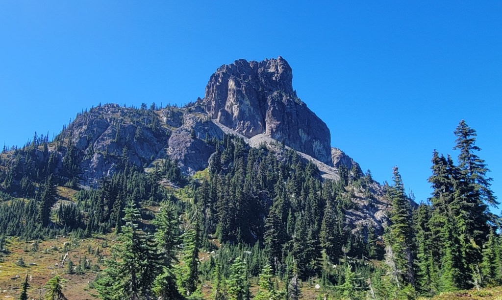
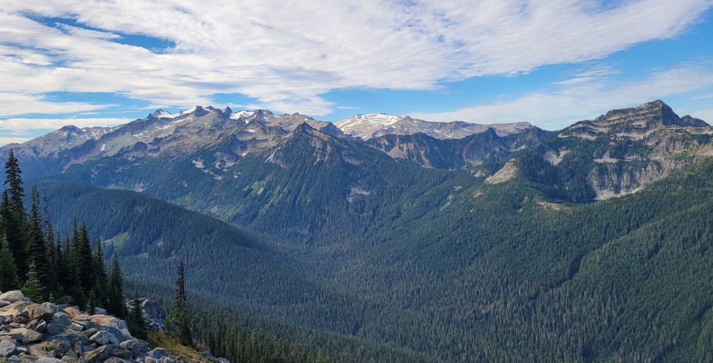
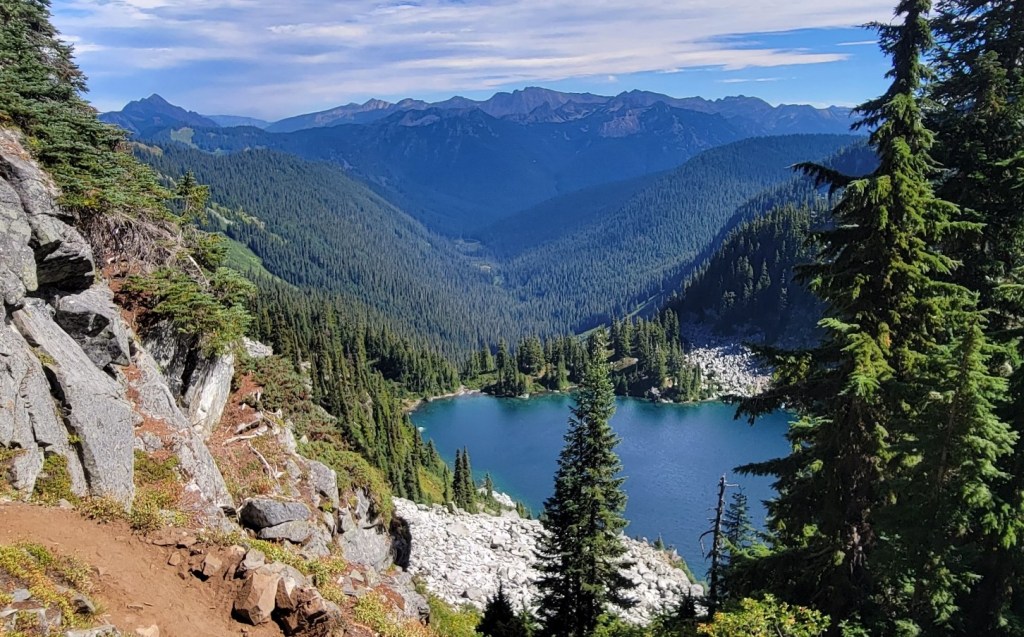
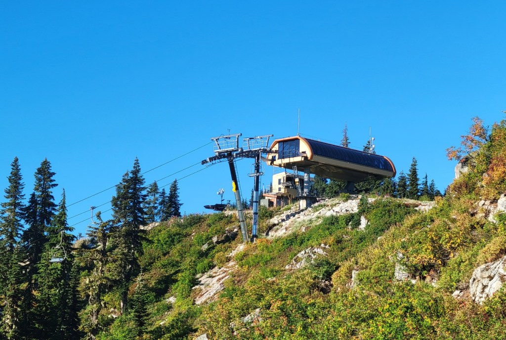
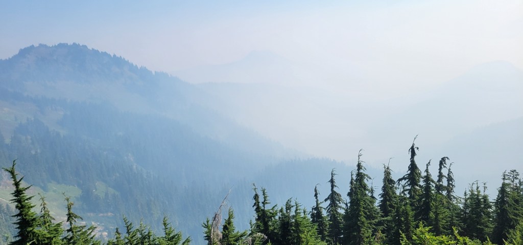
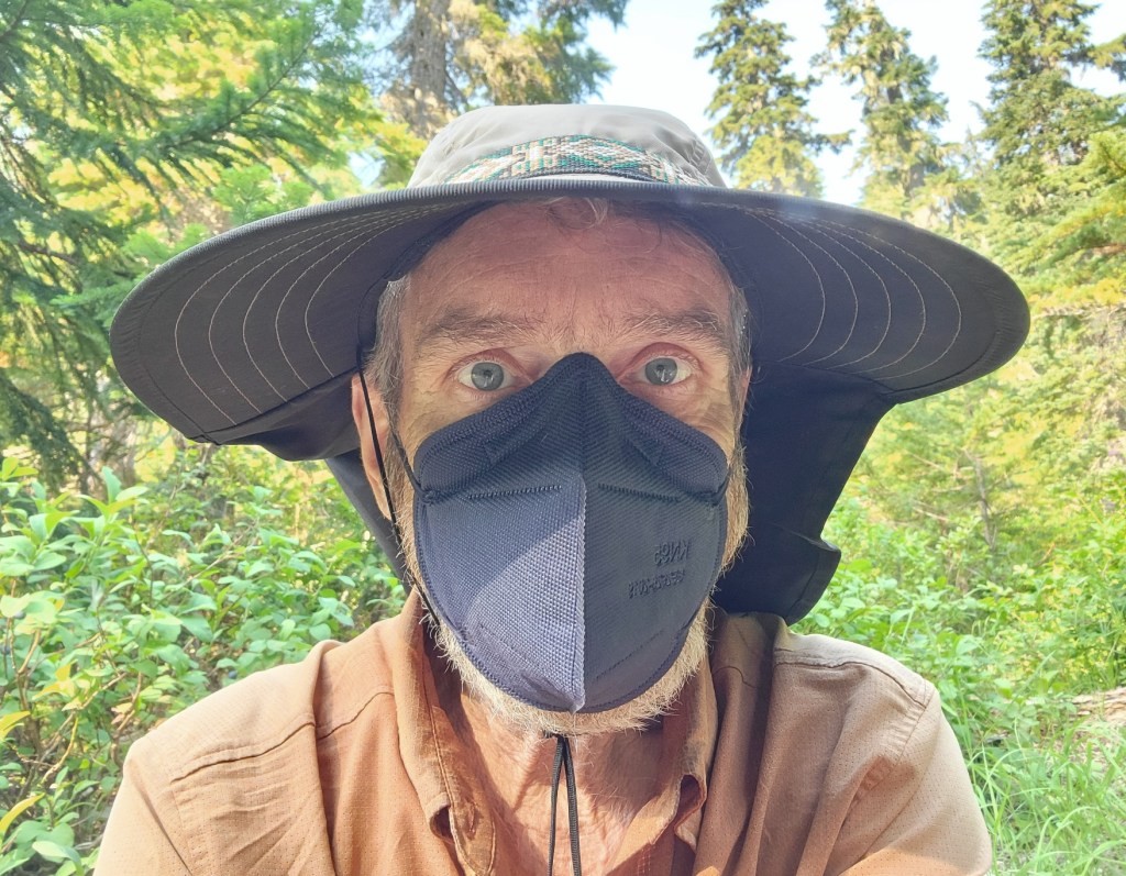
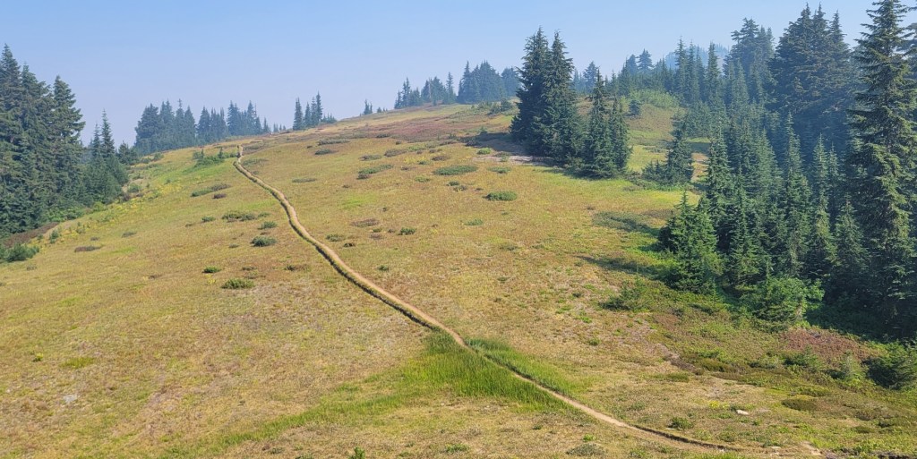
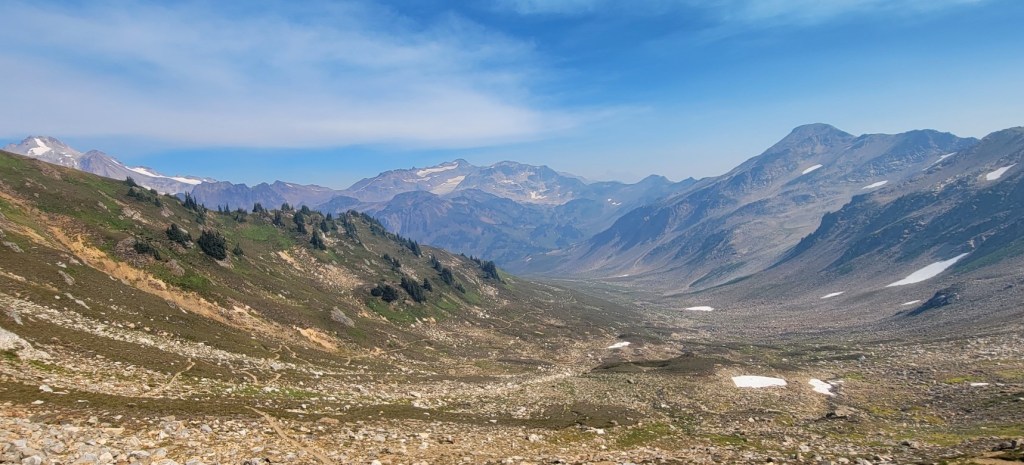
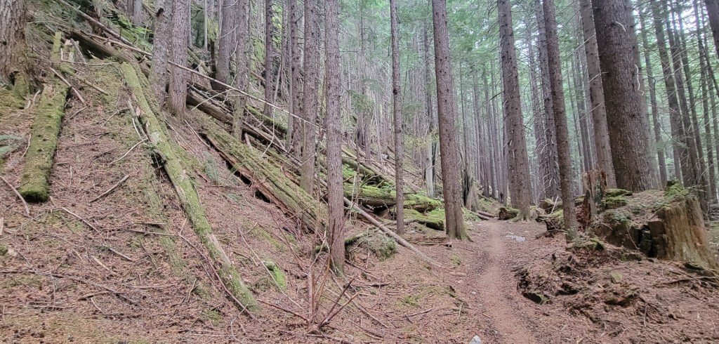
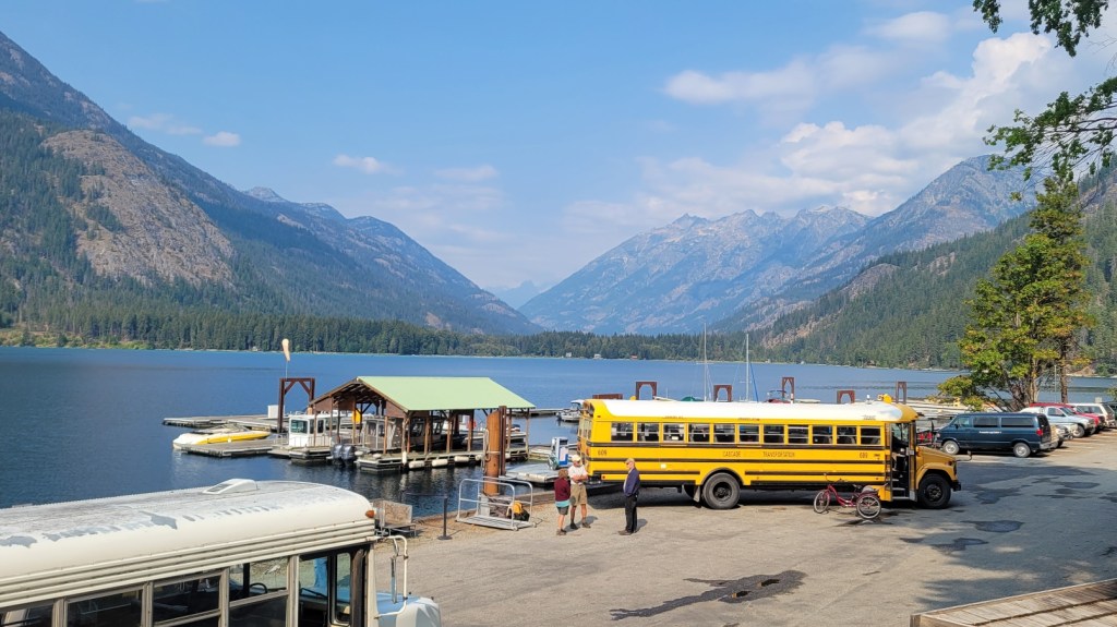
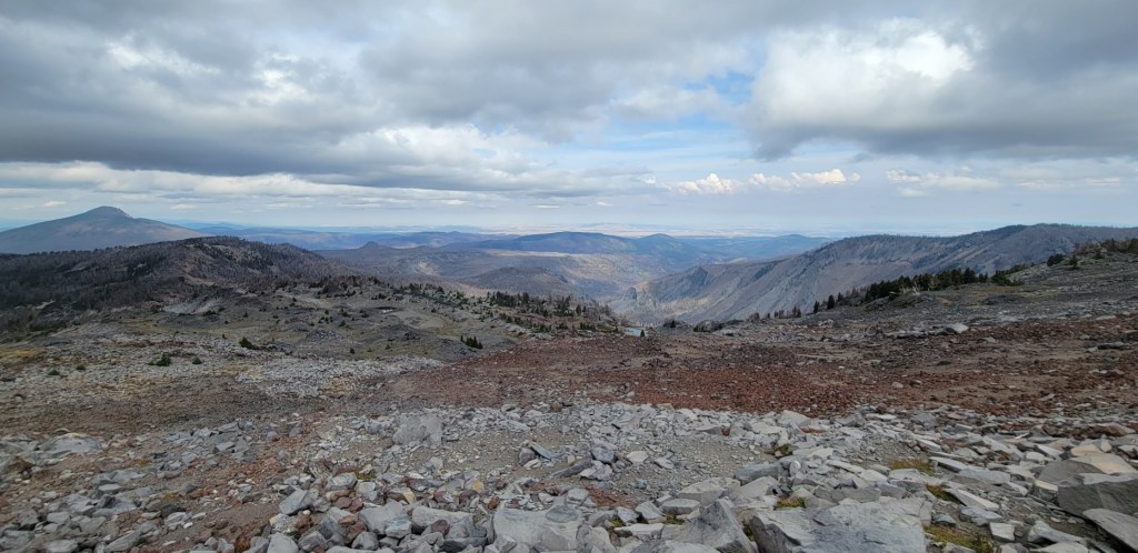
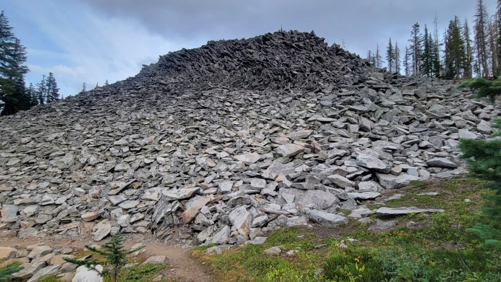
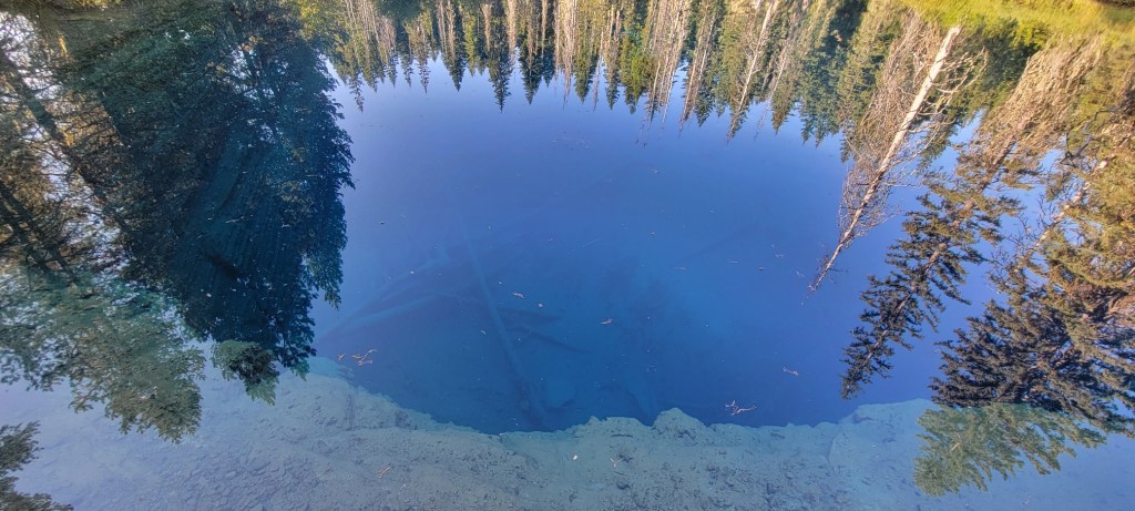
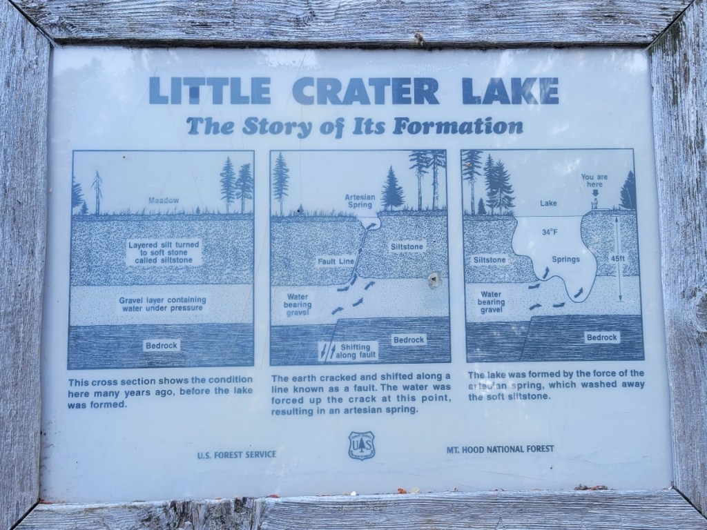
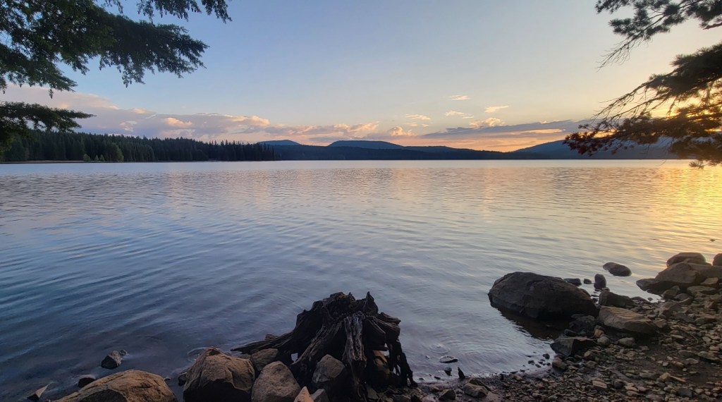
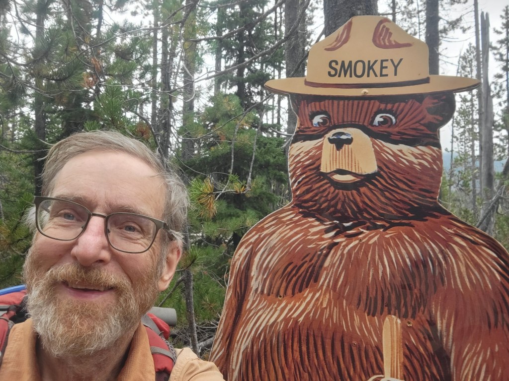
Mt. Jefferson, south faceMt. Jefferson, next day, north faceMt. Hood, south faceMt. Hood, different day, north faceMt. St. Helens, south faceMt. St. Helens, different day, north faceMt. Adams, west faceMt. Adams, different day, north faceGlacial creek on the flanks of Mt. AdamsMr. Adams to the right, Mt. Rainier to the leftMt. Rainier, south faceA closer viewMt. Rainier, different day, east faceMy campsite beside a lakeMorning mist on a pondA foggy dayIt helps to have a saddle if you plan to ride a tree.Clouds and mountainsUnnamed peak, Goat Rocks WildernessGoat Rocks WildernessMountain goats in the distance. The blurriness is because I was using a telephoto lens without a tripod.Goat Rocks WildernessLate August, still snow and ice on the trailThe Knife Edge, Goat Rocks Wilderness, Mt. Rainier in the distanceThe Knife EdgeSouth of White PassSouth of White PassEntrance road, Mt. Rainier National ParkAlpine Lakes WildernessAlpine Lakes Wilderness, clouds rolling in Alpine Lakes WildernessAlpine Lakes WildernessAlpine Lakes WildernessAlpine Lakes WildernessAlpine Lakes WildernessSwitchbacks on the trailAlpine Lakes WildernessCathedral RockSouth of Stevens PassSouth of Stevens PassStevens Pass Ski AreaSmoke on the trail, Wenatchee FireTrying to protect my lungsThe trail through a mountain meadow, smoke in the airGlacier Peak WildernessGlacier Peak WildernessGlacier Peak WildernessThe damp forests of the Pacific NorthwestStehekin, northern end of Lake Chelan. Stehekin is only reachable by boat. Lake Chelan is 50 miles long and generally less than one mile wide. It is the thrid deepest lake in the US, after Crater Lake and Lake Tahoe.Mt. Jefferson WildernessMt. Jefferson WildernessOlallie Lake “Guard” StationLittle Crater Lake. Note how deep and clear the water is in this artesian spring. It is 45 feet deep and has a diameter of perhaps 150 feet.Timothy Lake, view from my campsiteMe with an old friend
LikeLoading...
Related
Published by
Andrew Carter
I just completed a multi-year thru hike (MYTH) of the Pacific Crest Trail (PCT). It took three years. I hiked 1840 miles in 2021, 733 miles in 2022, and 122 miles in 2023. The only reason I had to hike in 2023 was a wildfire closure at the north end of the PCT in 2022. During the past two years, I've also thru hiked other, shorter US trails. I hiked the Benton MacKaye Trail (GA, NC, TN) and the Tuscarora Trail (VA, WV, MD, PA) in 2022 plus the Ozark Highlands Trail (AR) in 2023. I hope to hike the Long Trail (VT) next year and the Colorado Trail at some point in the future. Please note, all content on this site is copyright.
View all posts by Andrew Carter
One thought on “Oregon & Washington — Miscellaneous Views 1”
Andy, your photographs are stunning! The beauty is overwhelming! We need to protect this land of ours!


Andy, your photographs are stunning! The beauty is overwhelming! We need to protect this land of ours!
LikeLike