
c) Andrew Carter, 2025
It’s been a while since I’ve added new content to my hiking blog. Other than information on my forthcoming book, you’ll have to go back to 2023 when I hiked the Ozark Highlands Trail in Arkansas in May and completed my PCT hike in Washington in August. Since then, I’ve been busy off the trail – finishing the first draft of my “Two Trails” book, fixing up three homes, two in preparation for sale, one before moving in, and moving twice.
In 2024, the only hiking I did was a six-day 50-mile on the Long Trail in Vermont with my son Char and a four-day 50-mile hike in the Sierra by myself.
This year, I’ve managed to get out on the trail twice. First in March, to hike the 223-mile Ouachita Trail in Arkansas. Then in late September and early October, to complete the remaining 225 miles of the Long Trail I didn’t hike in 2024.
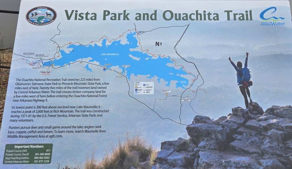
The map below shows the Ouachita Trail. It runs from Talimena State Park in Oklahoma to Pinnacle Mountain State Park in Arkansas, just outside of Little Rock. The trail is 223 miles long and follows the crest of the Ouachita Mountains. This is a legitimate mountain range, albeit a low one. The highest point on the trail is 2610 feet on Rich Mountain near the Oklahoma/Arkansas border. The lowest point is 260 feet near the end of the trail, where it crosses the Maumelle River.
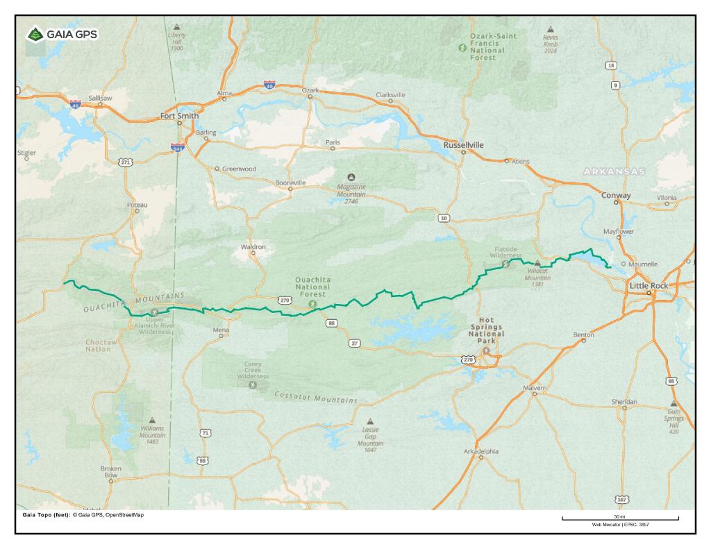
It took me 17 days to hike the trail. Hiking west to east, I started on March 13th and finished on March 29th.
It proved to be an excellent time to hike the Ouachita Trail. The usual high temperature during the day was in the 70’s, the usual low at night in the 40’s. There were a couple of cold nights, but it never got below freezing. Even better, it only rained once and that was at night when I was in my tent.
There was adequate water along the entire length of the trail, although not necessarily at shelters, no flies, and excellent views. The good views were because there were no leaves on the trees when I started my hike. It was only at the very end that spring caught up with me, and the trees were leafing out.
I reached the western end of the trail at Talimena by flying to Northwest Arkansas “International” Airport. It serves Fayetteville, home to the University of Arkansas, and Bentonville, home of Wal-Mart. I used a hiker shuttle to get from there to Talimena, 110 miles away. That cost me $200. It was 110 miles for me, but a round-trip of more than 220 miles for the shuttle driver.
It was much easier to get home. The trail ends in suburban Little Rock. I was able to take an Uber from the Pinnacle Mountain State Park Visitors Center to Bill and Hillary Clinton National Airport in East Little Rock.
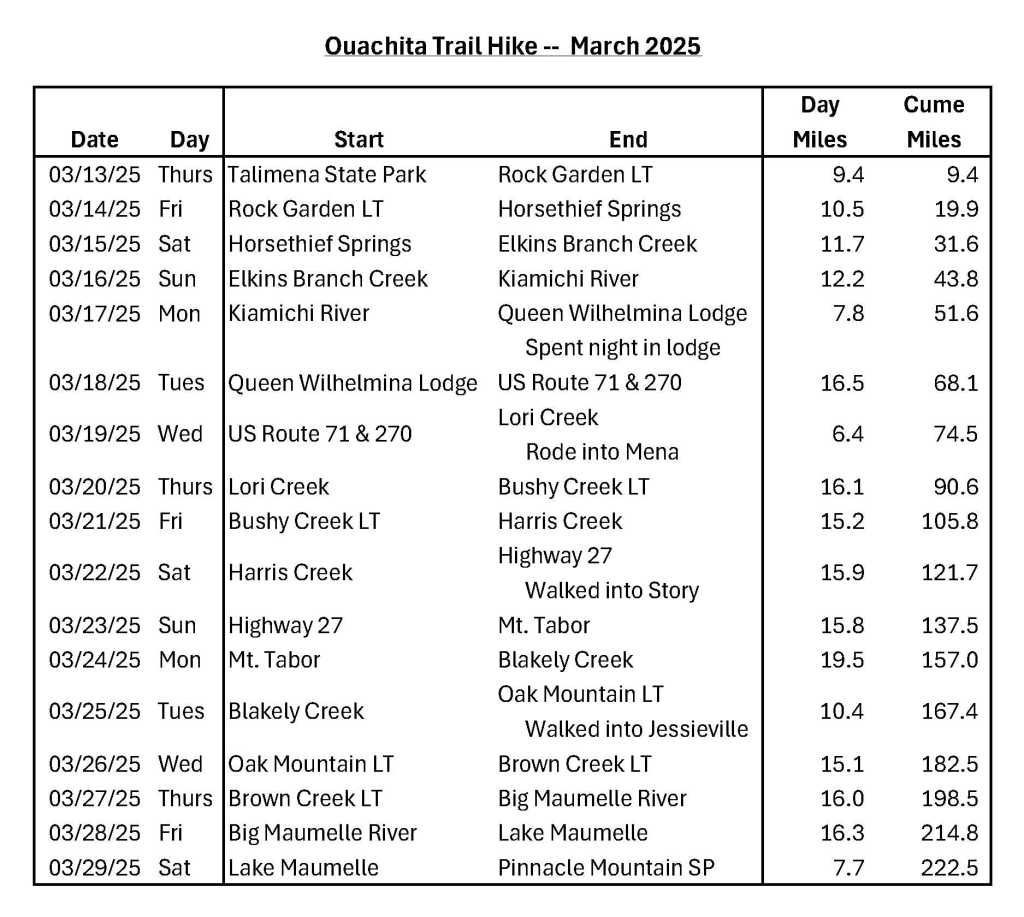
Here’s the itinerary I followed. I averaged 13.1 miles per day overall. If I don’t count partial days, I averaged 14.6 miles per day. My longest day was 19.5 miles. My shortest day, 6.4 miles.
The big jump in daily mileage on my sixth day, March 18th, was because my “trail legs” finally kicked in. On my first day, I was absolutely exhausted after hiking less than 10 miles. When I reached the lean-to where I spent the night, I plopped down on the wooden floor to nap and recuperate.
I spent four nights in shelters (shown as LT above, as in “lean-to”), eleven nights in my tent, and one night in a motel – Queen Wilhelmina Lodge in Queen Wilhelmina State Park. The trail goes right past it. There’s an interesting story behind why a state park in Arkansas is named after a Dutch queen. You’ll learn that story in two of the photographs below.
The Lodge has a restaurant with a mountain view. The dinner I ate there was fine – grilled chicken and mashed potatoes. Breakfast, not so much. Over-cooked eggs, okay sausage, dry toast, and the worst grits I’ve eaten in my life. Quaker Instant Grits are infinitely better. I grew up in the South, I love grits, I was extremely disappointed.
There are twenty shelters on the Ouachita Trail. I only stayed in four because several are well off the trail and most have no water source nearby, which doesn’t make sense to me. To spend the night in Oak Mountain Shelter, I carried water for 3.5 miles from a spring I passed before reaching the shelter. Other shelters I passed during the middle of my day, and I didn’t want to stop.
There are many crossroad communities and little towns near the trail. I walked into two of them, Story and Jessieville, to pick up food I’d sent myself through the mail. I hitched into a third, Mena, because I needed to charge my smart phone, power bank, and satellite texting device. I had foolishly forgotten to charge my devices when I spent the night in the Lodge two days before.
It was an immigrant Latino family who gave me the ride into Mena. I’m sure they were undocumented. They worked in a nearby Tyson Chicken facility. I’m sure their employer knew they were undocumented, paid them poorly, and relied on immigrant labor to boost the company’s bottom line.
In case you’re wondering, the working class are much more likely to give someone a ride than the middle class. Those in the upper class, never stop. On my recent Long Trail hike, I got a ride from a young farmer in a beat-up pick-up truck. On my PCT hike, I got a ride from a man who seemed to be living in his car.
When I’m in town, I usually get a restaurant meal. In Story, I ate at the Bluebell Café, which offers a wide selection of sandwiches and short-order meal items. What a sad little place. It’s in a former gas station and feed store. So run down. Story has but a handful of houses and very little car traffic, so the café gets little business. Once the very friendly, aging owner retires, I doubt the café will remain in business.
In Jessieville, I ate at The Shack, a hamburger and fried chicken joint. Jessieville is bigger than Story. It’s an actual small town and is located on a busy state highway. The Shack is across the street from a regional high school. I’m sure that helps their business. The Shack only accepts cash. I was fortunate to have cash. It would have been sad if I didn’t.
Mena is a small city of 6000 people with a wide selection of restaurants and fast-food establishments. I ate at McDonalds. Sometimes, I just want to save money.
There weren’t a lot of other people hiking. I spent only one night with another hiker. That was at Oak Mountain Shelter. The busiest day was on a Saturday when I passed two Scout troops and several day hikers. There were several days I saw no one.
I did meet three other thru-hikers. One was a young man in training to attempt a FKT, Fastest Known Time, on the trail in April. He was hiking eastbound like me and sped by me. Two were seniors like me. One was a 70-year-old westbound hiker. It was his birthday the day I met him. The other was an eastbound hiker in his 80’s who was “slack-packing.” That means he was carrying a day pack, not a backpack. At the end of each day, his wife met him in their car at a trailhead, and they spent the night together in a motel. The next morning, she drove him back to the trail. Rinse and repeat. Slack-packing or not, I was impressed. I’m not sure I’ll be able to hike when I’m that age.
You’ll find other highlights of my hike in captions to many of the photos below.
I thoroughly enjoyed my Ouachita Trail hike. It was a far cry from my dismal experience on the Ozark Highlands Trail in 2023, also in Arkansas. The Ouachita Trail was exactly what the doctor ordered after so many months away from hiking. Happy trails.
For photos, I’ll start with some of the views I saw.
(All photographs and videos are copyright by Andrew Carter, 2025.)
View from Queen Wilhelmina Lodge

View from Lovers Leap, Queen Wilhelmina State Park
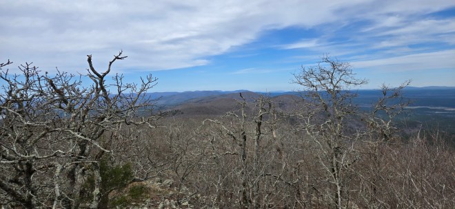

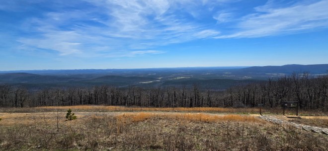
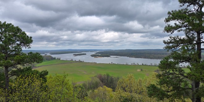
Views from Ouachita Pinnacle


Views from Flatside Pinnacle

Lake Maumelle
The Arkansas River

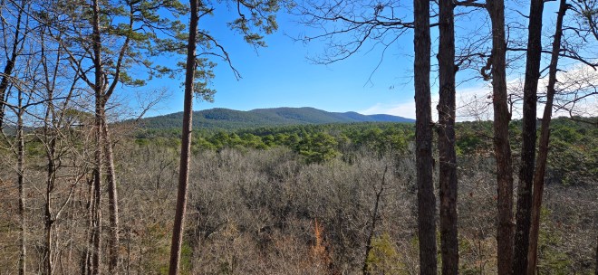

Views from other places on the trail
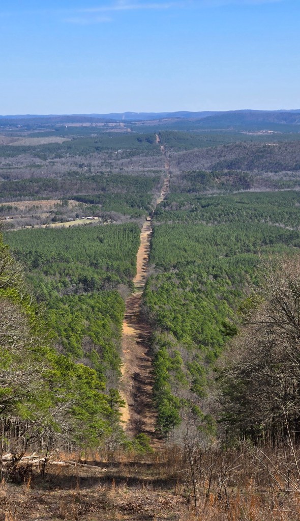
A pipeline cut
360 degree video from Ouachita Pinnacle
360 degree video from Flatside Pinnacle
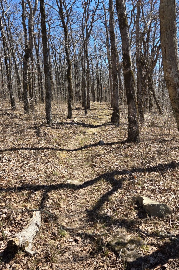
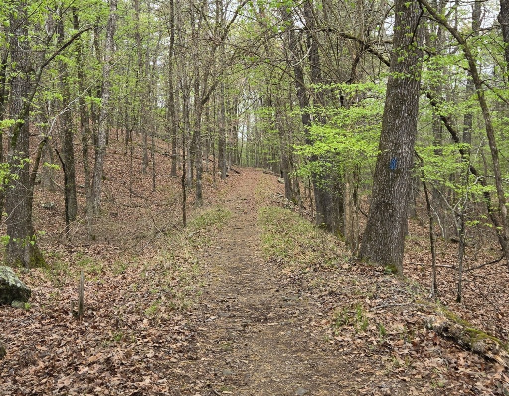
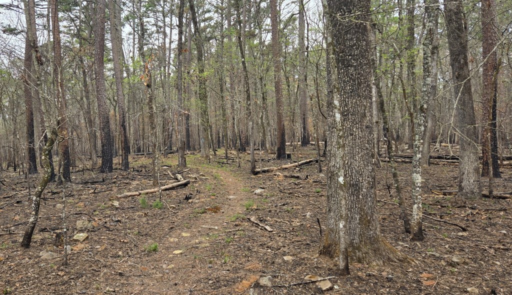
Views of the trail. The last one is from a burned area.


The trail on forest roads. The second one is an old carriage lane which served a long-ago mountain top resort.
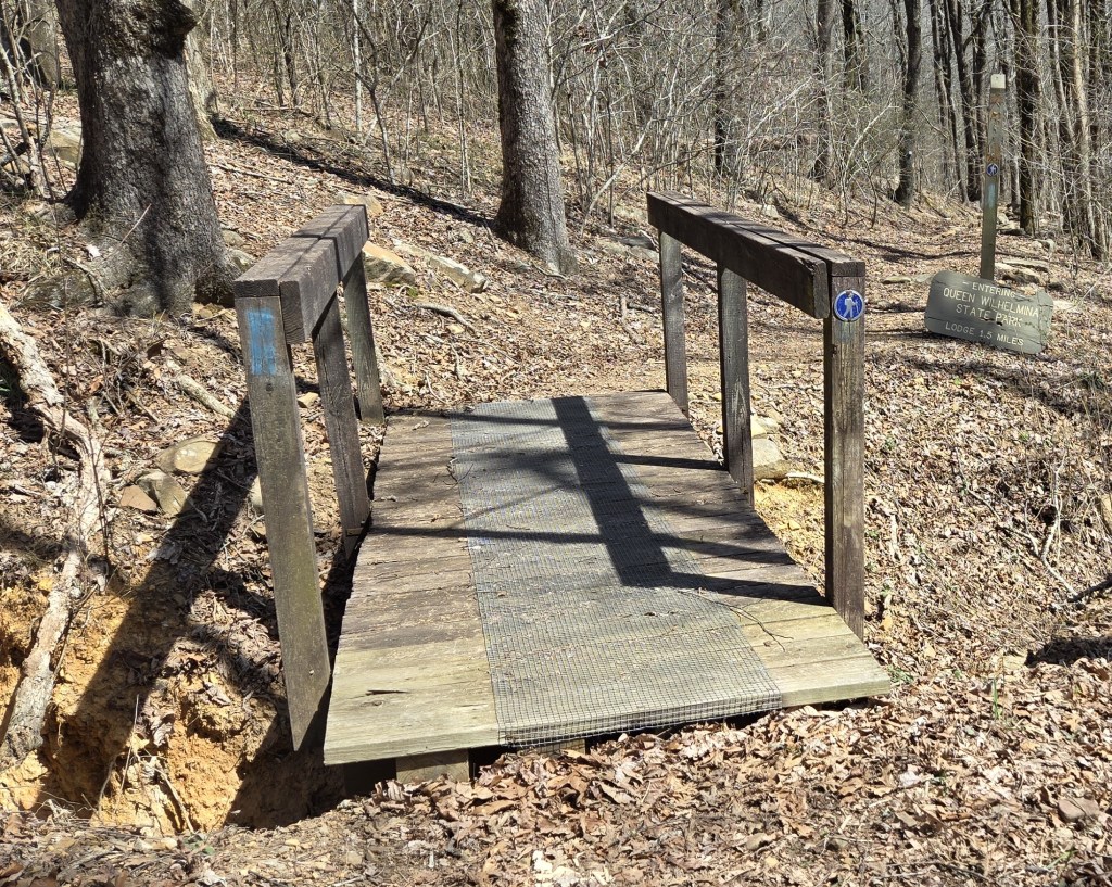

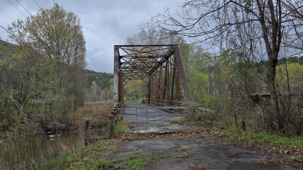
Bridges on the trail
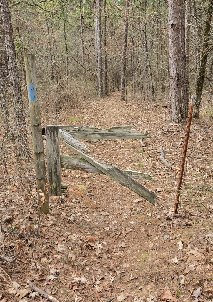
A broken gate

A road crossing


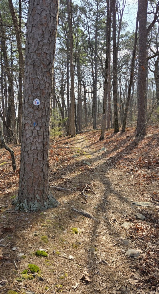
Different Ouachita Trail markers
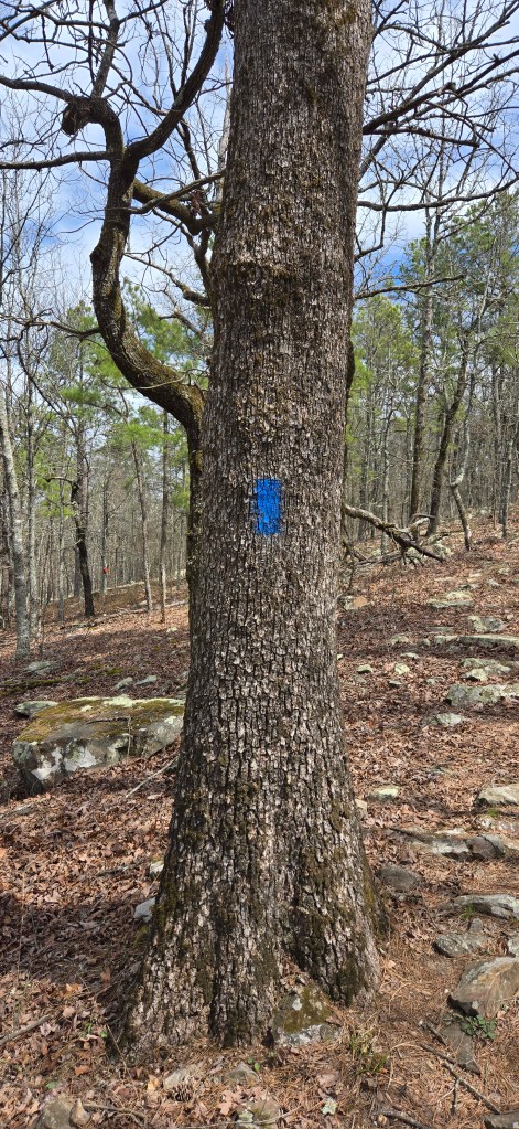
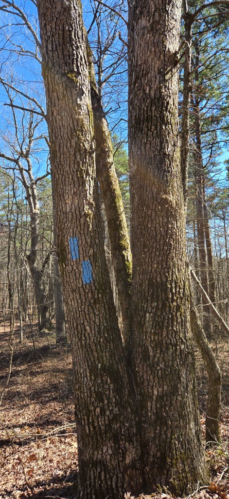
Blue blazers are used to mark the trail. One blaze above another means the trail is turning in the direction of the top blaze.
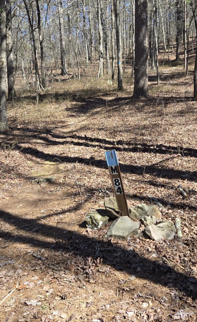
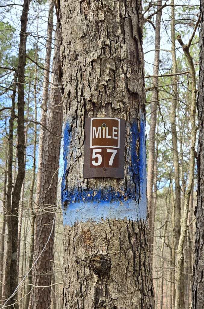


In principle, there is a numbered marker to denote every mile of the trail
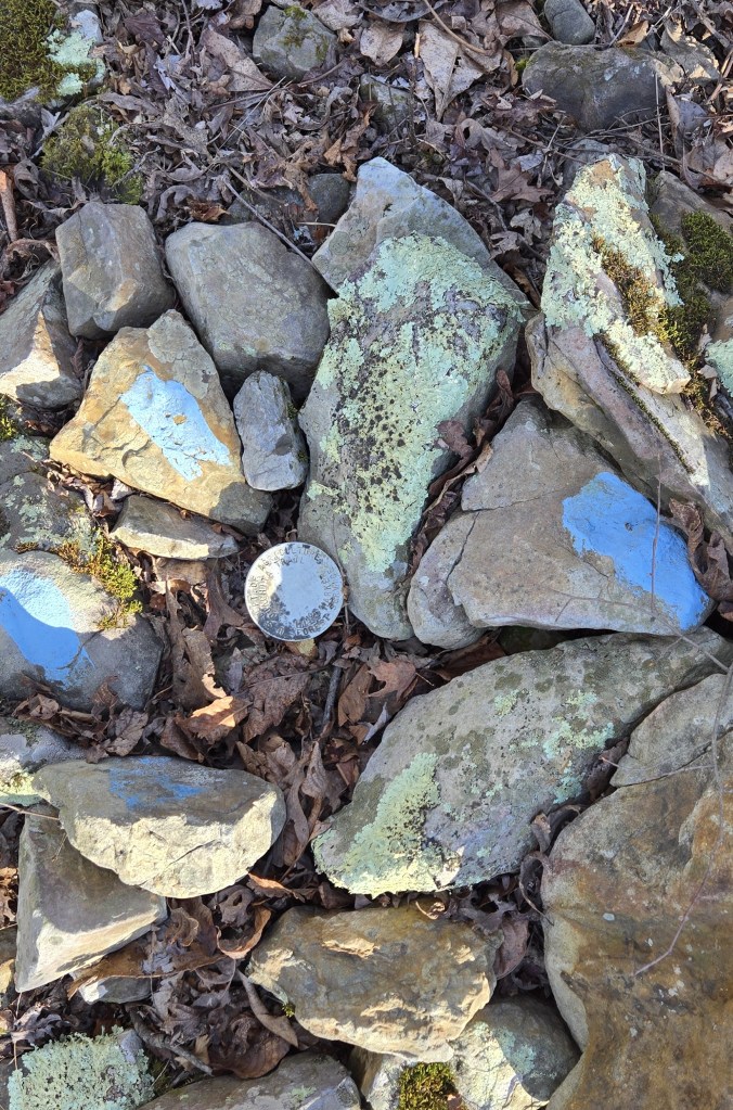
If not a mile marker, then a surveyor’s post


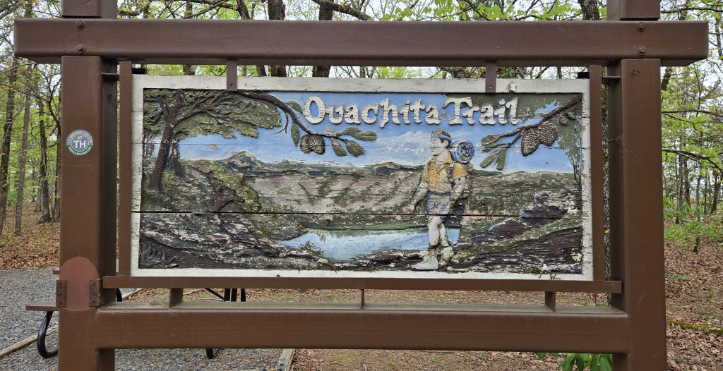
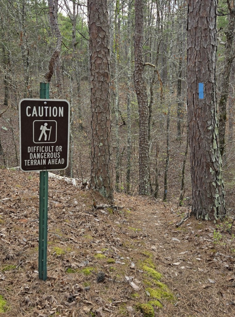
Signs along the trail

This stop sign has seen better days
Something tells me the backpack on this hiker is filled with styrofoam
Whomever created this sign has never walked the north end of the Long Trail

This gate welcomes hikers at the beginning of the trail in Talimena State Park

Information on flora and fauna hikers might see on the trail

I camped at Horsethief Springs. I slept on a picnic table there since there was no cleared flat ground.
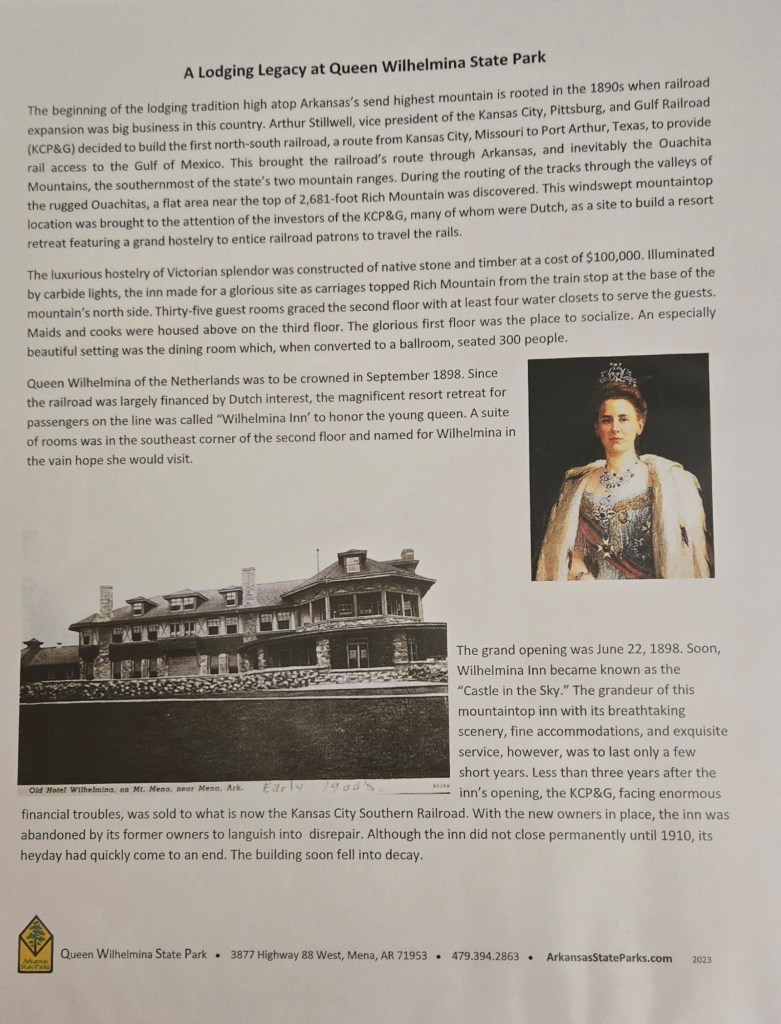

The story of Queen Wilhelmina State Park, the mountain lodge therr, and why a state park in Arkansas is named after a Dutch queen

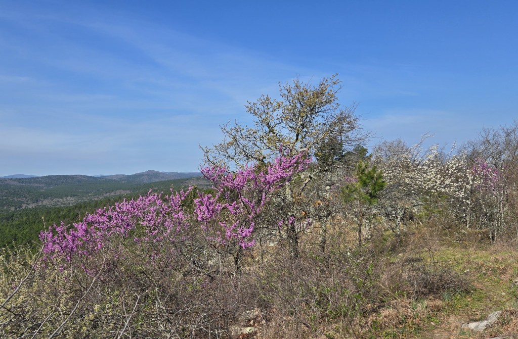

The trees were in bloom

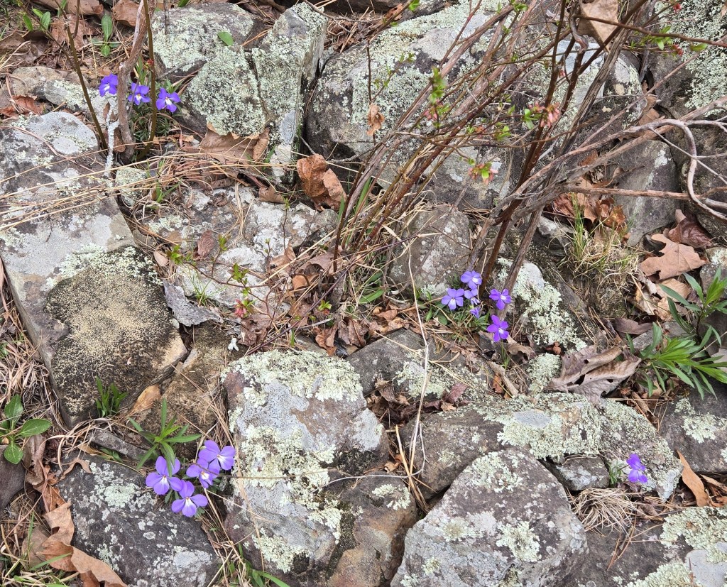
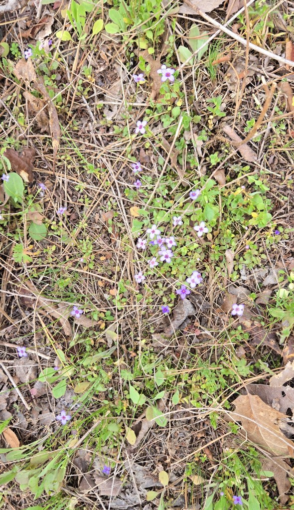
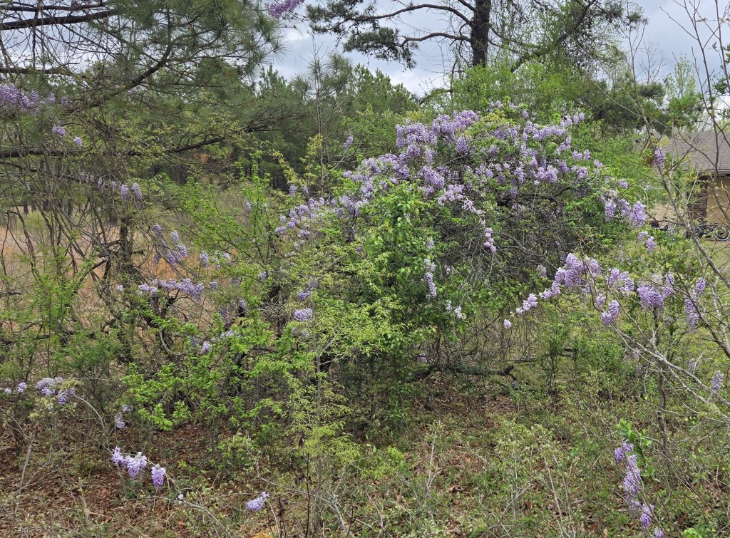
So were the flowers. In order: daffodils, violets, bluets, and lilac.

Vulture in a tree

Water moccasin, poisonous. I came across this snake when I was getting water. It scared the heck out of me because it had been hiding, then came out to greet me.

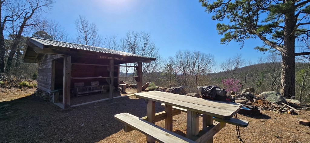
Shelters on the trail. I spent the night at the first one, but not the second one.

Cowboy camping. I had rinsed my clothing in a creek and hung it up to dry.
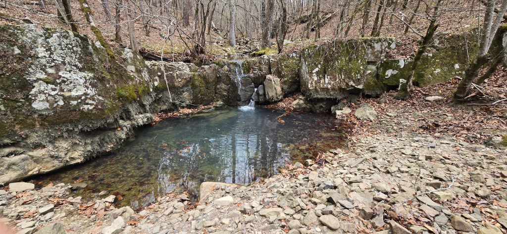
A creek and pool
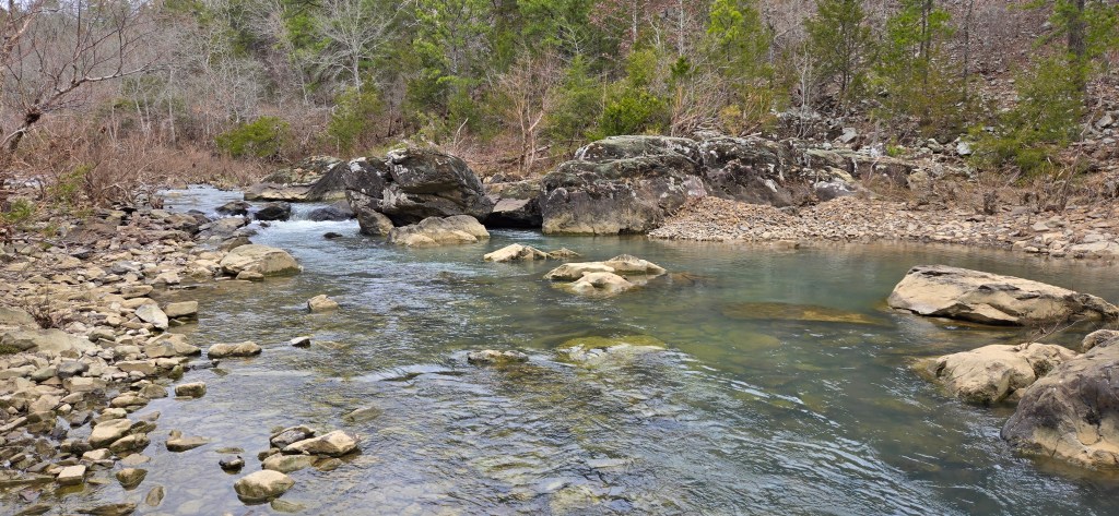
Kiamichi River
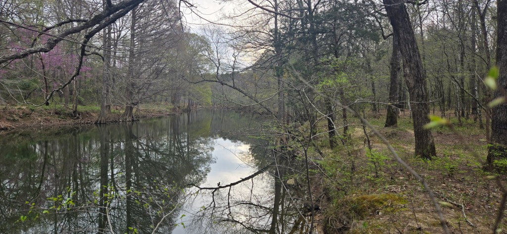
Maumelle River, above Lake Maumelle
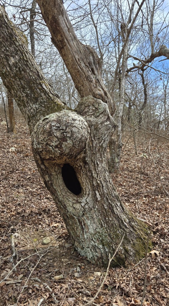
Finally, a funky tree

Thanks. Always a fun read.
Charlie Biddle 3756 Tower Hill Rd. Wakefield, RI 02879 401-284-3047 h 401-935-2585 c
LikeLike
I’m glad you like my hiking posts. See you in another ten years?
LikeLike
Thank you for sharing your information on the trail and photos. i have hiked about 600 miles of the AT and lots of trails in Arkansas. I am 78 and desire to do one last hike, maybe Talimena State Park to Queen Wilhelmena Lodge in the spring if I can find a hiking partner.
Happy Hiking!
Gary Parady
Sherman, Texas
LikeLike
Never stop hiking! I just read about an 80-year-old woman who completed the entire Appalachian Trail earlier this year.
LikeLike