Belden

c) Andrew Carter, 2021

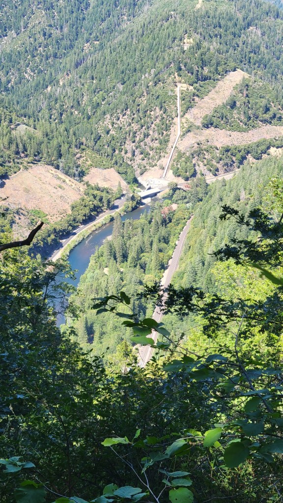
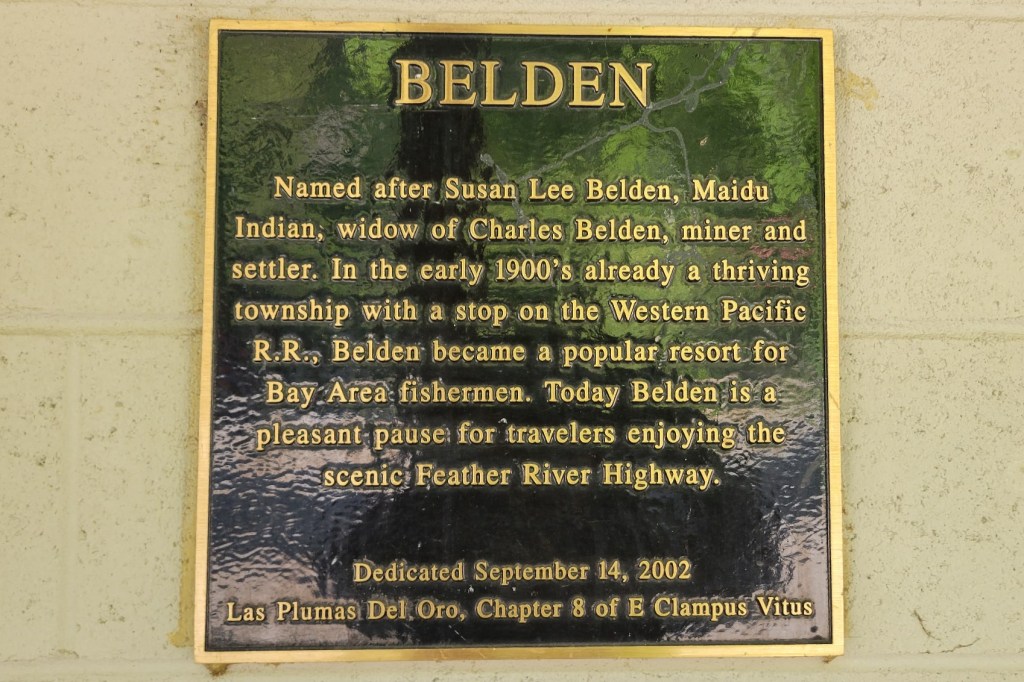
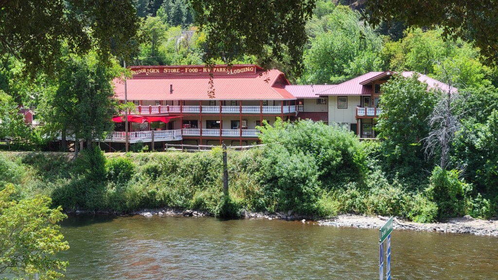
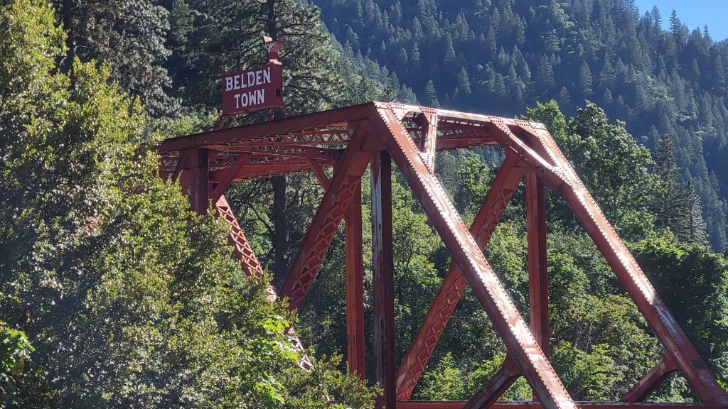
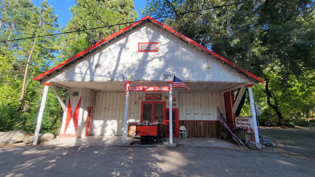
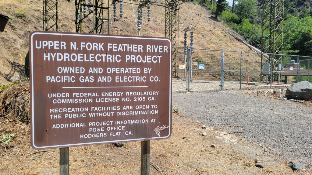
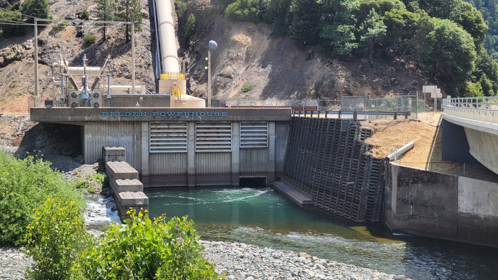
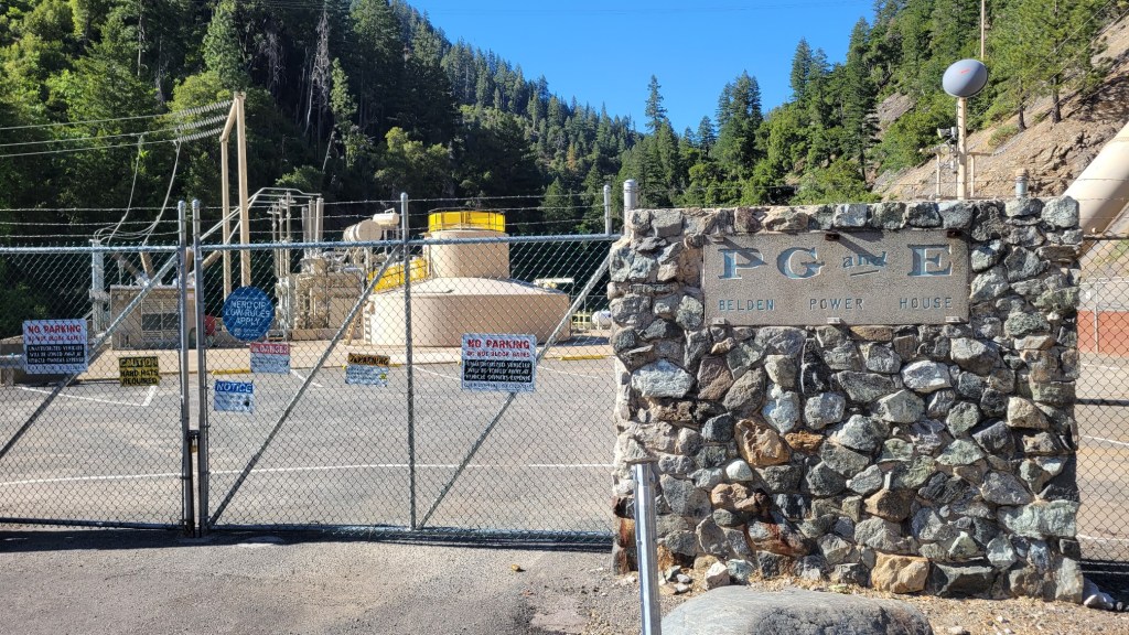
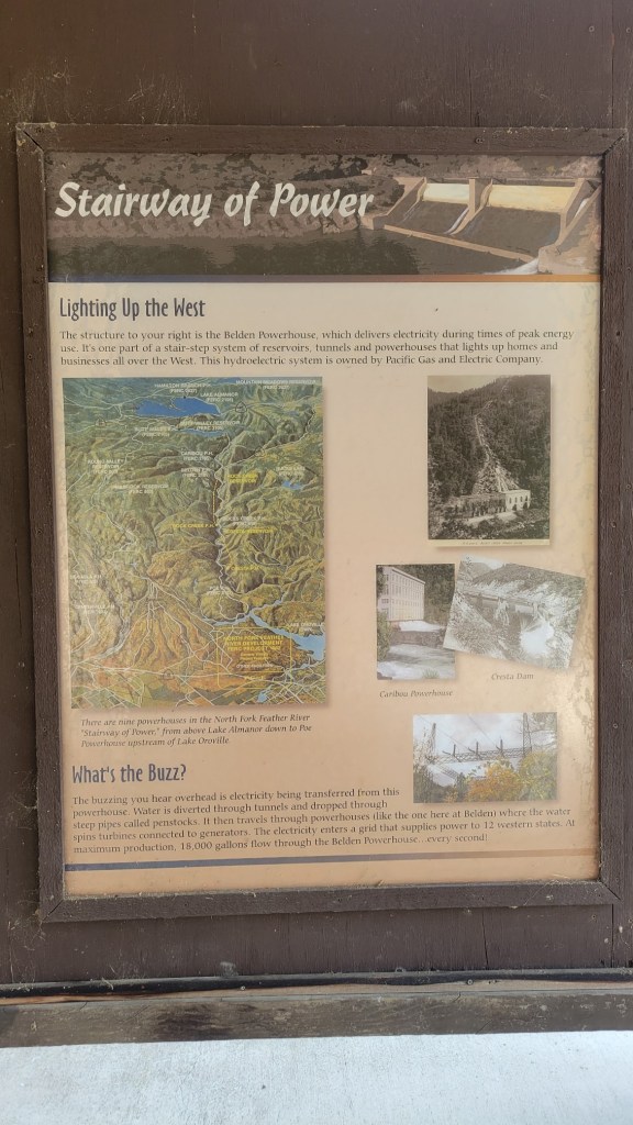
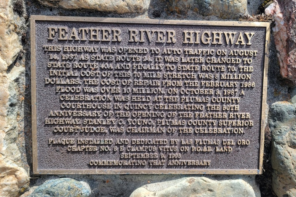
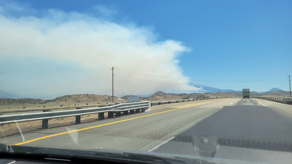
Belden is a tiny little town on the banks of one of the forks of the Feather River in Plumas County. Calling it a town is a bit of an exaggeration, since the few houses and businesses in Belden are so spread out. The town dates to the Gold Rush. It survived thanks to the railroad, and now there is an auto road as well (CA 70). The single-track Union Pacific line running along the river is very active. In fact, the river affords this line the lowest crossing of the Sierra, even lower than the main line at Donner Pass. Add to all of this, a PG&E generating station.

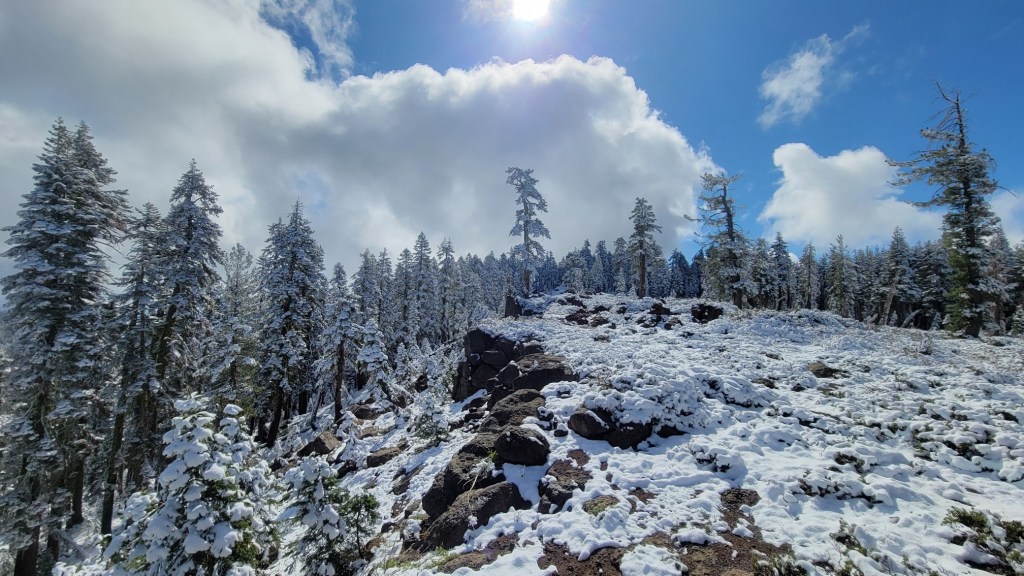
It was a long descent into Belden, and then a long climb out of Belden. Along the PCT, river crossings always involve the longest descents and ascents, followed by railroad crossings which are not along rivers, followed by automobile road crossings which are not along rivers or railroads.

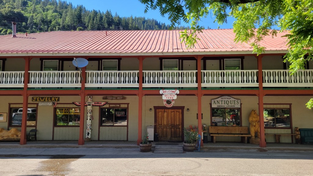
For hikers, the primary attraction to Belden is the Belden Town Resort, which the trail passes through. Also, the small Caribou Crossing RV Park, which is 2 miles off the trail. Both have small stores and serve as resupply points for hikers. The Resort dates back to the establishment of the railroad. The RV park has a post office.

Since the Resort was closed the day I passed through Belden, I spent the night at Caribou Crossing. But the Resort did accept a package Marta had sent me, leaving it out on the back deck of a cabin for me to retrieve.

Snow in June

c) Andrew Carter, 2021

To say it was a surprise when it snowed on me on the evening of the 9th of June is an understatement. But snow it did. Approximately 1 inch where I was, and about 2 inches a little higher. By end of day on the 10th, however, the snow had melted. Will snow be in my future in late September or early October when I am in the high Sierra? Stay tuned.

Predator and Prey

c) Andrew Carter, 2021

Behold the gopher snake. Non-venomous. It looks harmless, doesn’t it?

Not if you are a bird.

I was walking along the trail when I saw something roll down the embankment to the right of the trail. Immediately, I knew it was a snake because the sun highlighted its coils as it fell. But why would a snake be rolling down an embankment instead of slithering down?

When I got to the snake, I saw that it was wrapped around something. My first thought was it was wrapped around another snake and the two snakes were mating. Wrong!

I quickly realized the snake was wrapped around a bird. I then thought, can I save the bird? No, the bird was already dead and the snake already had it’s mouth over the bird’s head. Besides, it wasn’t my “job” to save the bird. Even if the bird were alive, I shouldn’t interfere with nature in action.

For the next five minutes, I watched the snake begin to devour the bird. First, it was able to rip off the bird’s head and swallow it. Then it kept squeezing and re-squeezing the bird like a toothpaste tube to cause its innards to be forced up the bird’s neck into the snake’s body. Yes, gross and disgusting, but utterly fascinating.

For whatever reason, I only took two photos and didn’t turn on my video camera. In part, I think it was because I felt I was an intruder in this example of nature in action, of the “circle of life.” That this was between the snake and the bird, predator and prey. That this was in a way a sacred act I shouldn’t be watching.

As I watched, however, I wondered if the snake would be able to devour the entire bird. Would it eat its wings and tails? What would happen to the feathers and bones? And what about the beak already in the snake’s throat? Would the non-digestible parts be vomited out by the snake or excreted? A snake does have an anus, doesn’t it? Somewhere along its belly, right? How long would it take the snake to digest the bird? While it digested the bird, would the snake be so immobile that it would be at risk of becoming prey itself to a fox or some other animal?

Eventually I left, but not before capturing the two images below. They are clearly the most unique photos I’ve taken in my life. Simply because I got “lucky.” I was, as they say, in the right place at the right time.

Fire!

c) Andrew Carter, 2021

Throughout my hike, I’ve been walking through the burn zones of wildfires that took place last year and in years past. As I reached far Northern California, however, I experienced active fires in progress. This has been unnerving, even though those fires have been east of the trail. I have begun to worry about encountering an active fire that will disrupt my hike because it is on or near the trail. What will I do? Will my life be at risk? Will I be able to escape if I need to? Definitely not fun things to think about.

Here are pictures of the Lava Fire (near Weed, on the western slope of Mt. Shasta) and the Tennant Fire (northeast of Mt. Shasta).

When I first saw the Weed Fire on 6/26, I didn’t know how close I was to it. I knew it was “over the ridge,” but how far over the ridge? Was it burning in my direction? If so, how fast was it moving? How fast could I move if I had to?

As a consequence, I decided to hike 6 extra miles that day (24 miles, my longest day yet) to put extra miles and two additional ridges between me and the fire and to also put me closer to a road should I need to use that road the next day to “bail” (that is, escape).

In the end, I was not at risk, although I wasn’t sure of that at the time, As I wrote above, unnerving. Then two days later, I saw another fire, the Tennant Fire. And since then, the Salt Fire has broken out on the shores of Shasta Lake between Redding and Weed, near the town of Lakehead.

Fire is now a part of the PCT hiking experience. It includes hiking through old fire zones, but it also includes the risk of active fires. 2021 is a drought year. It’s only early July. I worry about what lies in store for me and other hikers during the rest of the fire season.

So Cal, Rocks

c) Andrew Carter, 2021

As you might imagine, rocks are part of the experience.

Catching Up, To the Border

c) Andrew Carter, 2021

And here are some photos from far Southern California in the San Bernardino National Forest and the Cleveland National Forest. Some of the photos are when I was on the Mt. San Jacinto massif between Palm Springs and Idylwild, but many are when I’m in the dessert or at least looking down upon it. All of these photos were taken in May.

Catching Up, Angeles National Forest

c) Andrew Carter, 2021

I had these grand plans to “curate” my hiking blog — edit all the photos, do write-ups on them, etc. But there just isn’t time. So I’m now catching up by simply posting them here “as is.”

Here are some photos from late April when I was in the Angeles National Forest, east of LA. A portion of the forest was closed due to a wildfire last year, so some of these photos were taken on the Angeles Crest Highway, which served as a detour for the PCT.