c) Andrew Carter, 2021
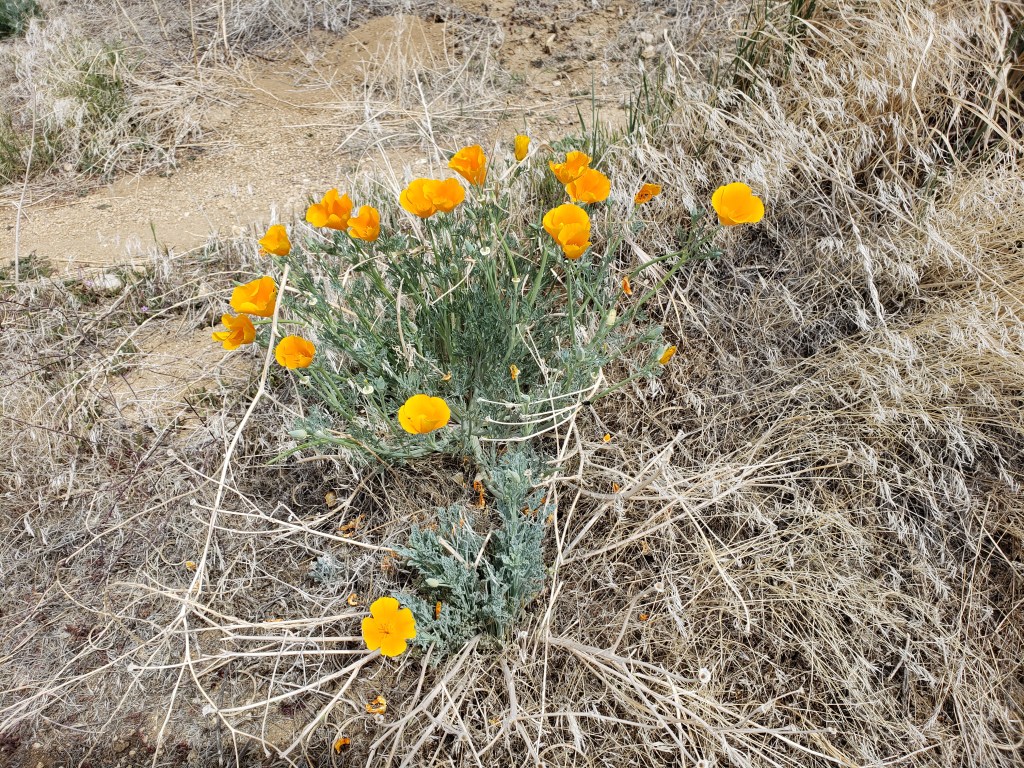
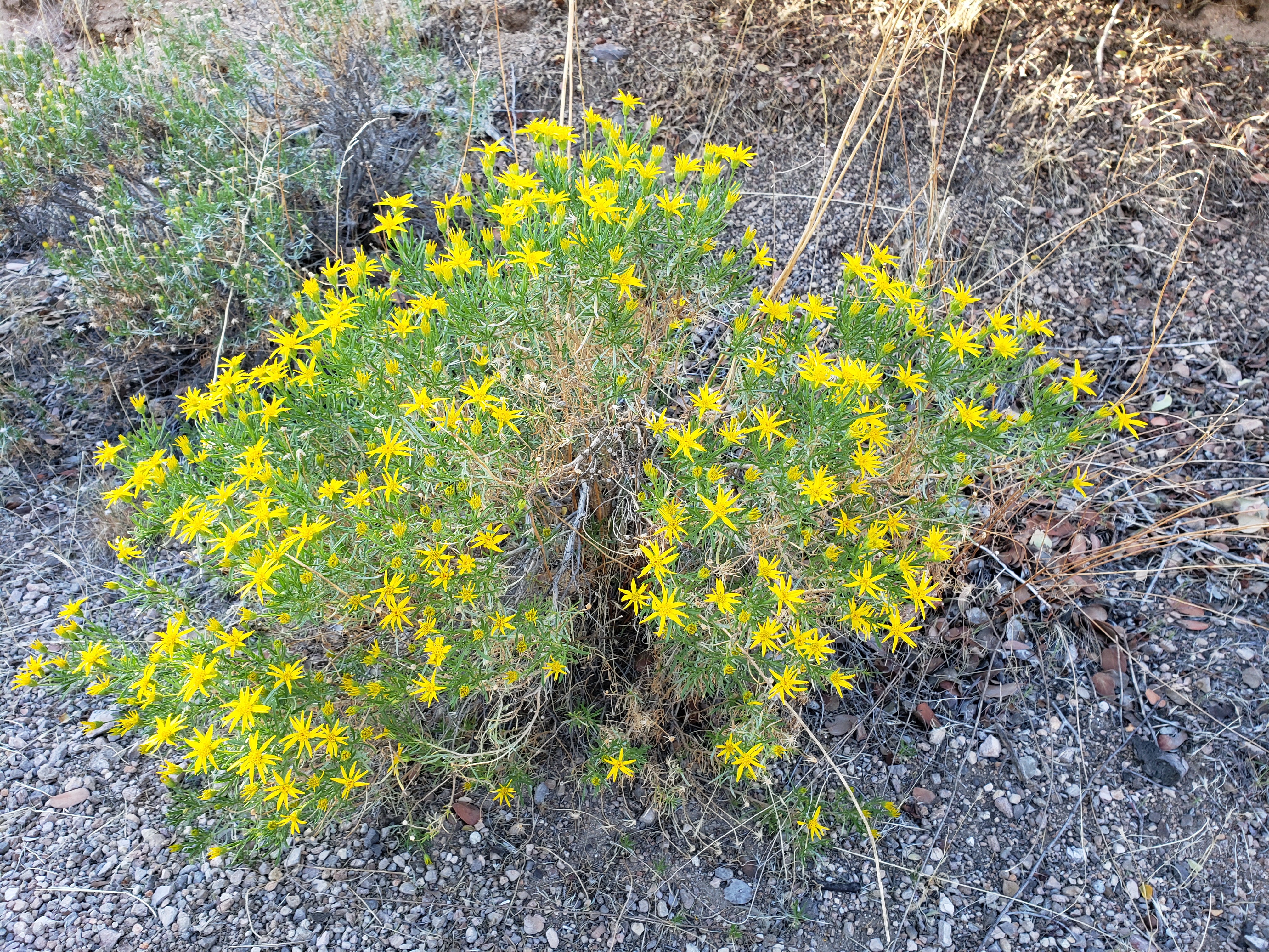
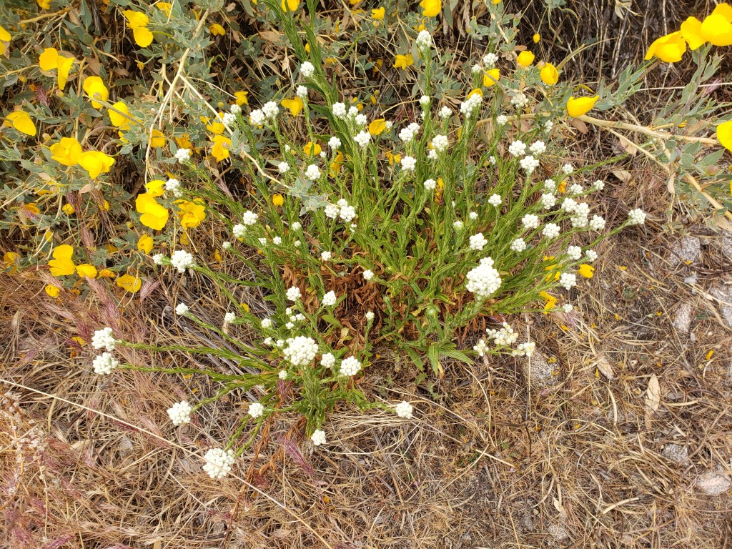
Some of the wildflowers and flowering bushes and cacti I’ve seen so far.


c) Andrew Carter, 2021
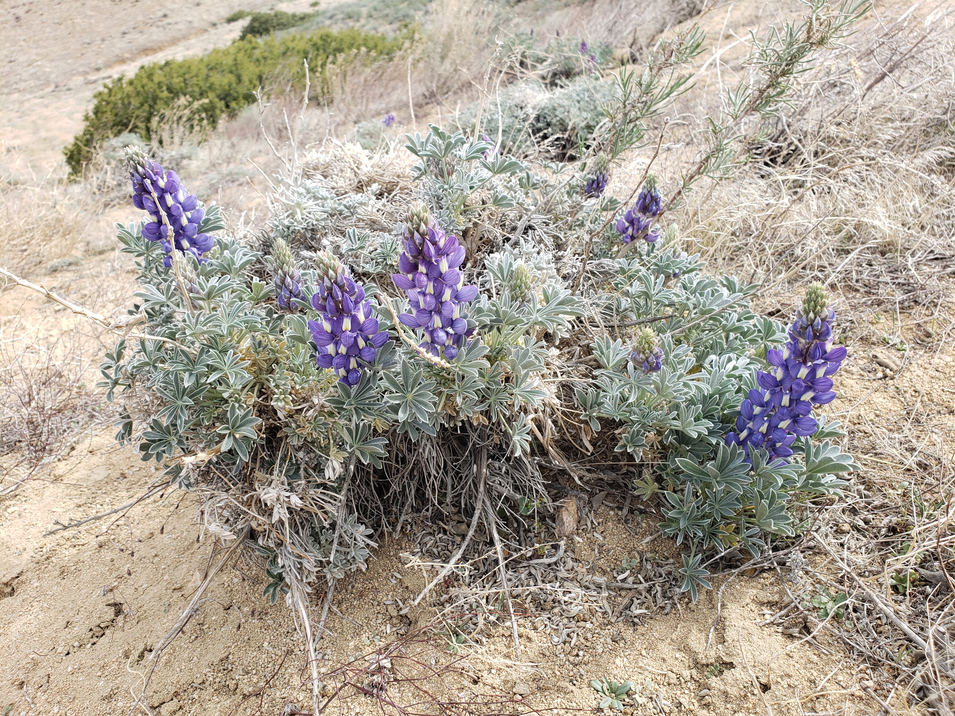
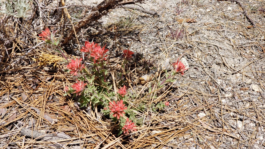
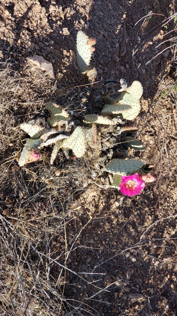
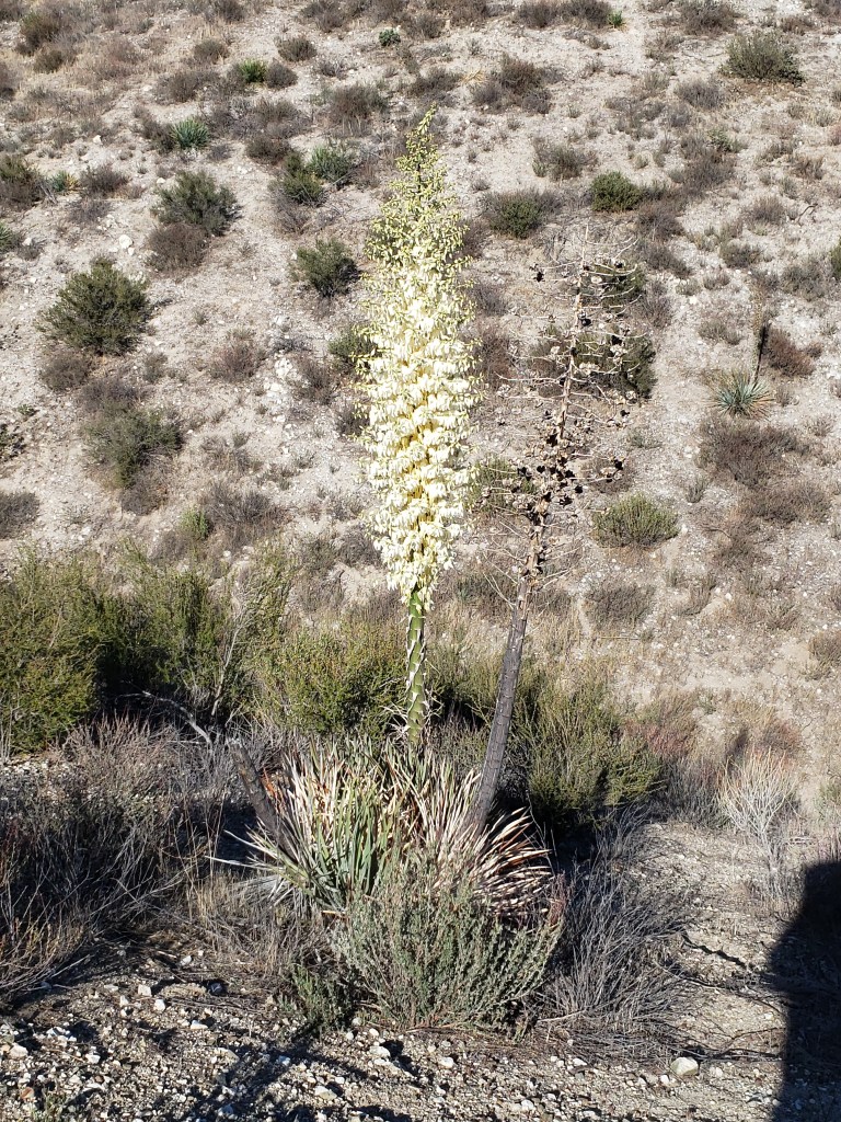
Some of the wildflowers and flowering bushes and cacti I’ve seen so far.
c) Andrew Carter, 2021
I’ve been a hiker my entire life. This is the most memorable thing I have ever seen. The Lake Fire took place last August and September and burned almost 50 square miles of rural LA County near Lake Hughes.
c) Andrew Carter, 2021
This low-rent Frontier Town has seen better days. But it did have a hot shower, so I enjoyed my stay.
I didn’t bother to film the junkyard out back.
c) Andrew Carter, 2021
c) Andrew Carter, 2021
c) Andrew Carter, 2021
I’ve already written about the magical “Cafe 549.” Here’s a video tour.
c) Andrew Carter, 2021
Courtesy of the sun, oak trees, and the wind.
c) Andrew Carter, 2021
From time to time, I will post videos of what I’m seeing on my hike. Here’s the first one.
c) Andrew Carter, 2021
I left the Antelope Valley this morning and started climbing back into the mountains.
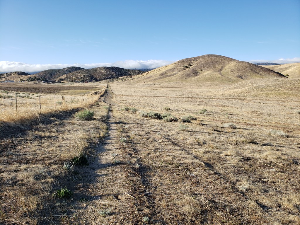
I didn’t make it to the ridge until 2:00 pm, but what a view.

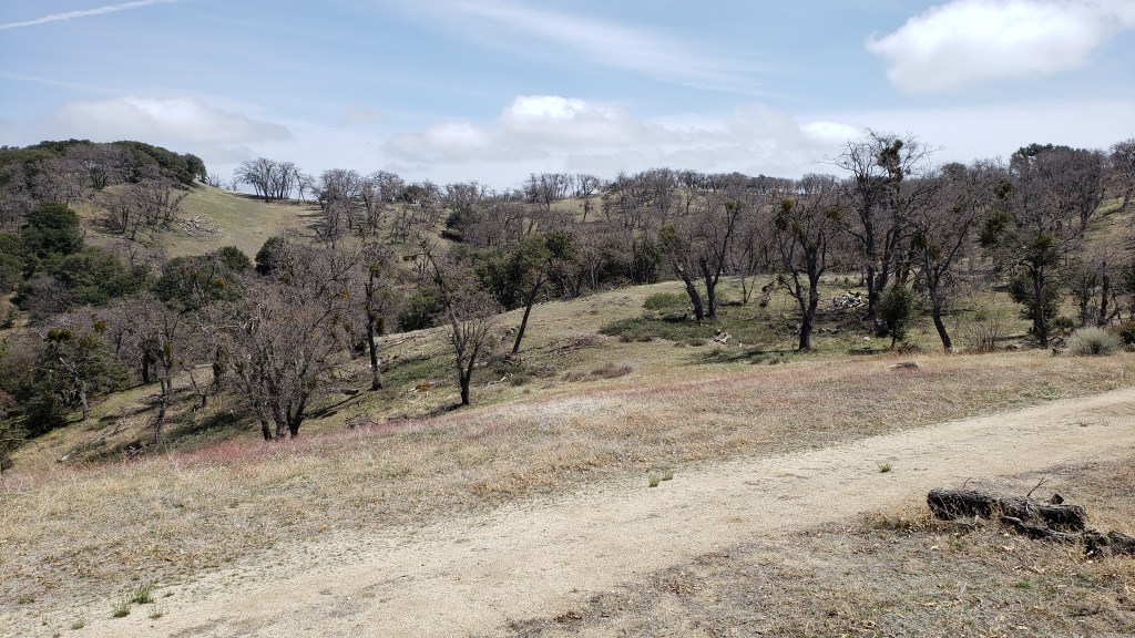
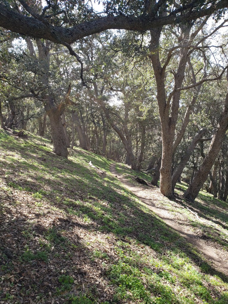
After making it to the ridge, I was hiking through partially open meadows and then an oak forest. It was great to see grass and trees after a day and a half in the desert.
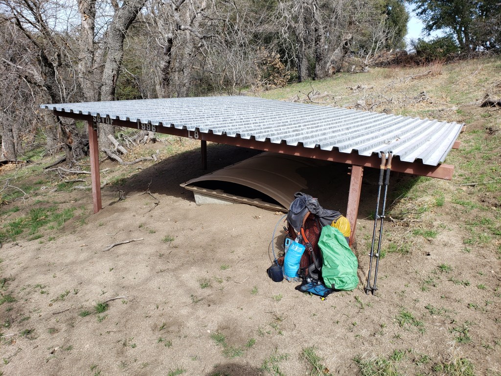
There were no springs, but I was able to get water out of a cistern.
But after all this beauty, I entered into a fire zone from the Lake Fire last year.
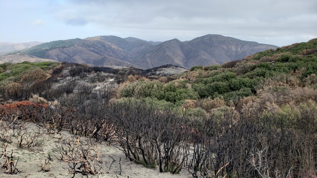
I’m camping in that fire zone tonight.
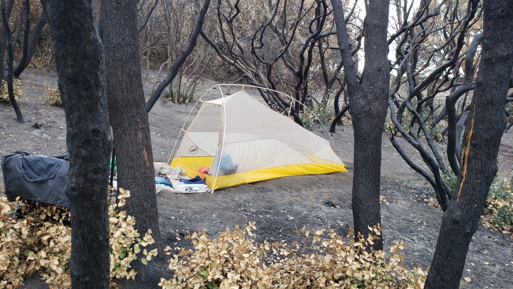
It’s liable to get down to freezing tonight. It’s 41 degrees right now. I’m making hot tea to warm me up. Goodnight, all.
c) Andrew Carter, 2021
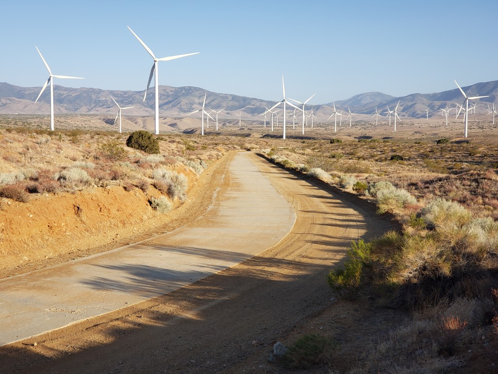
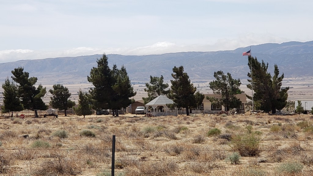
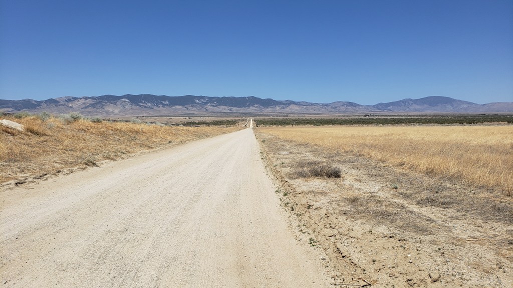
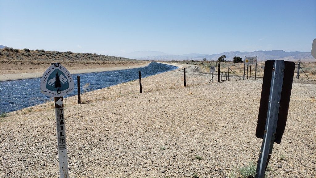
In Southern California, the PCT often has to cross valleys to get from one mountain range to another. That’s particularly the case south of Tehachapi where the Trail has to cross the Antelope Valley.
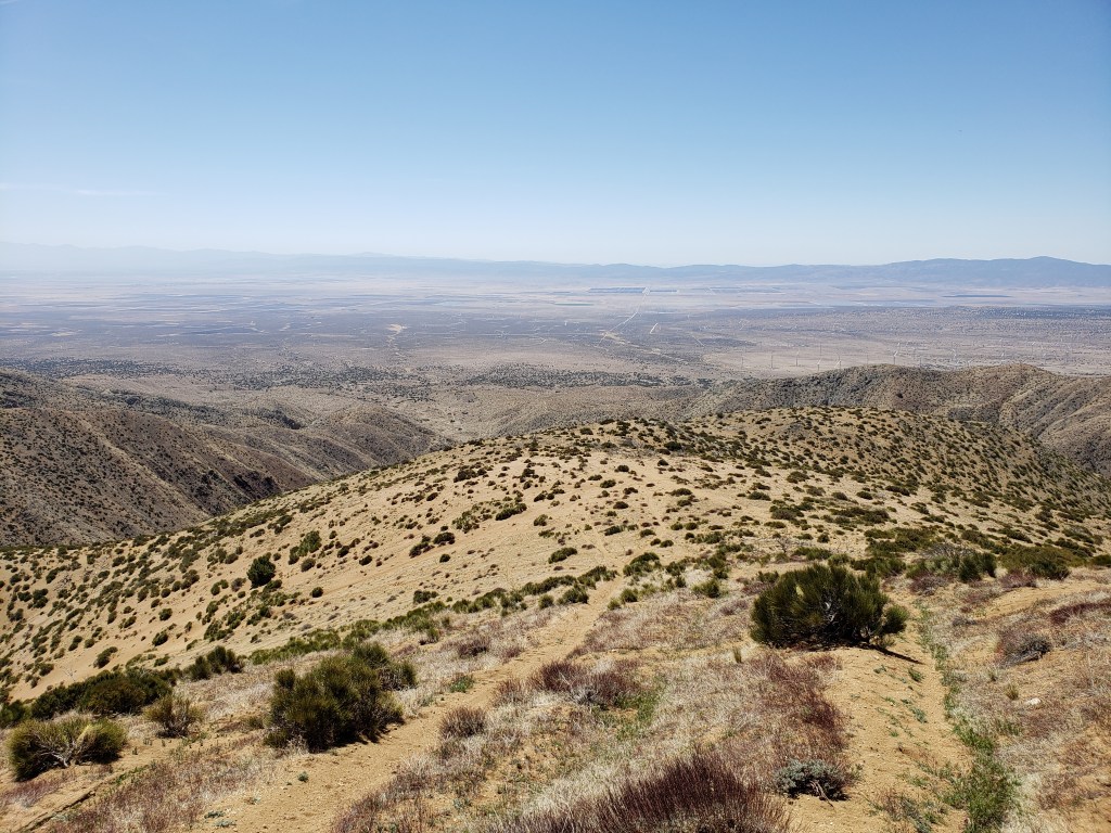
The Antelope Valley is high desert. The altitude where the PCT crosses is 3000 feet plus or minus.
It’s about 17 miles as the crow flies from the Tehachapi Mountains at the north to the Sierra Palona at the south, but 22.5 miles on the Trail because the PCT has to make use of primarily north/south and east/west dirt roads to make a diagonal northwest to southwest crossing.
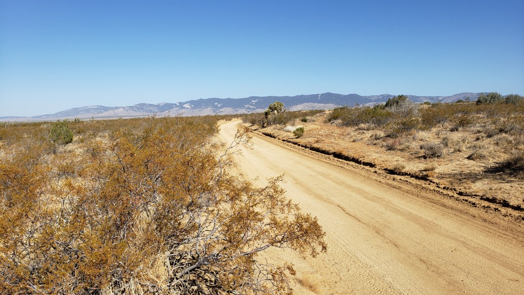
Most of the time the road the PCT is using runs right along the concrete-covered Los Angeles Aqueduct.
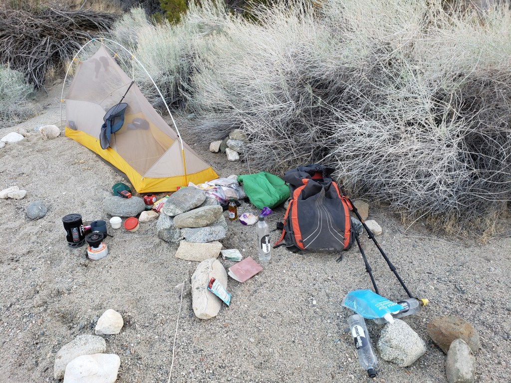
Since it took me more than a day to cross the Antelope Valley, I camped beside the Aquaduct one night.
At the south end of the Valley the Aquaduct transitions from concrete vault to concrete pipe to steel pipe to cross the lowest part of the Valley.
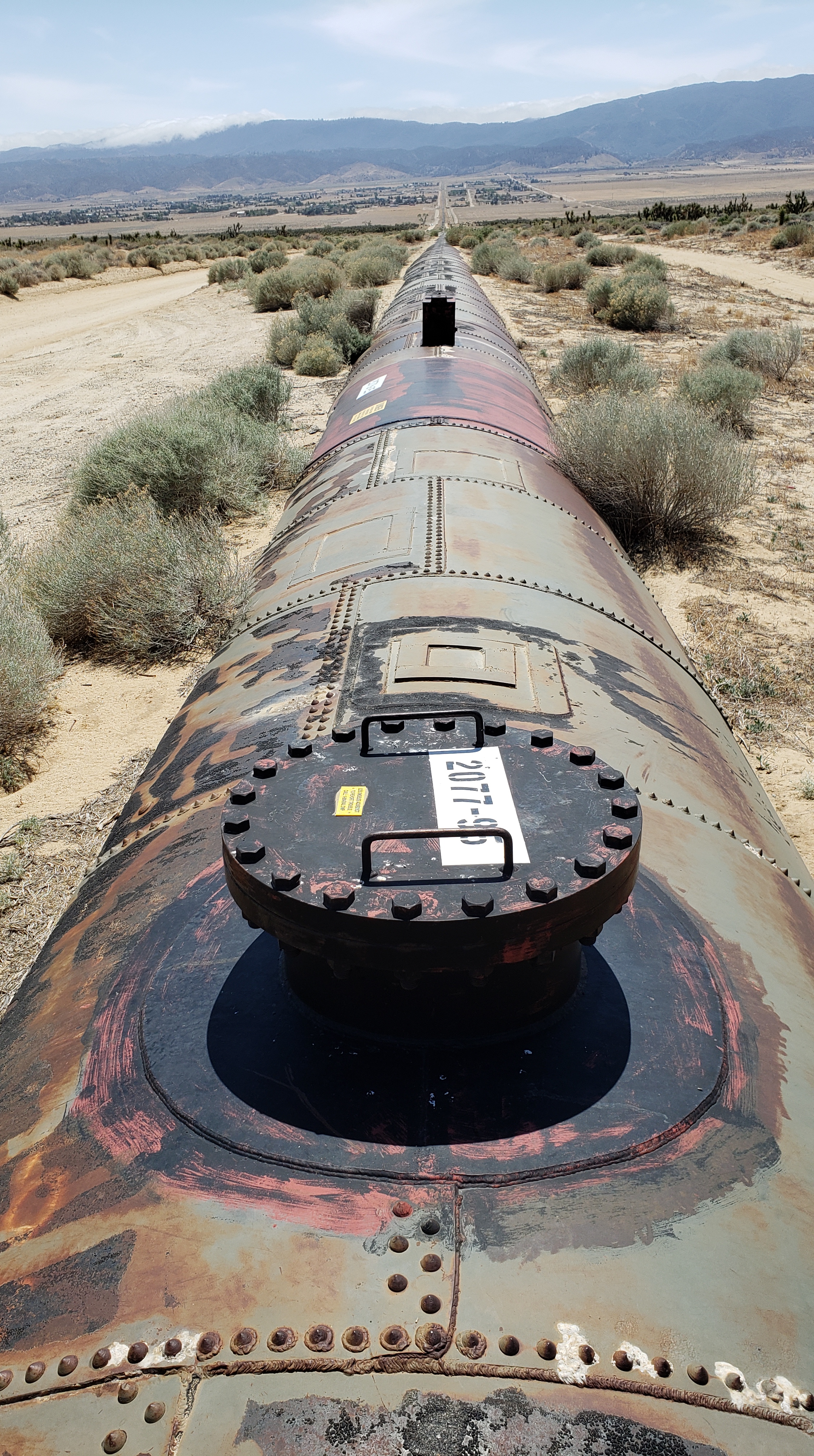
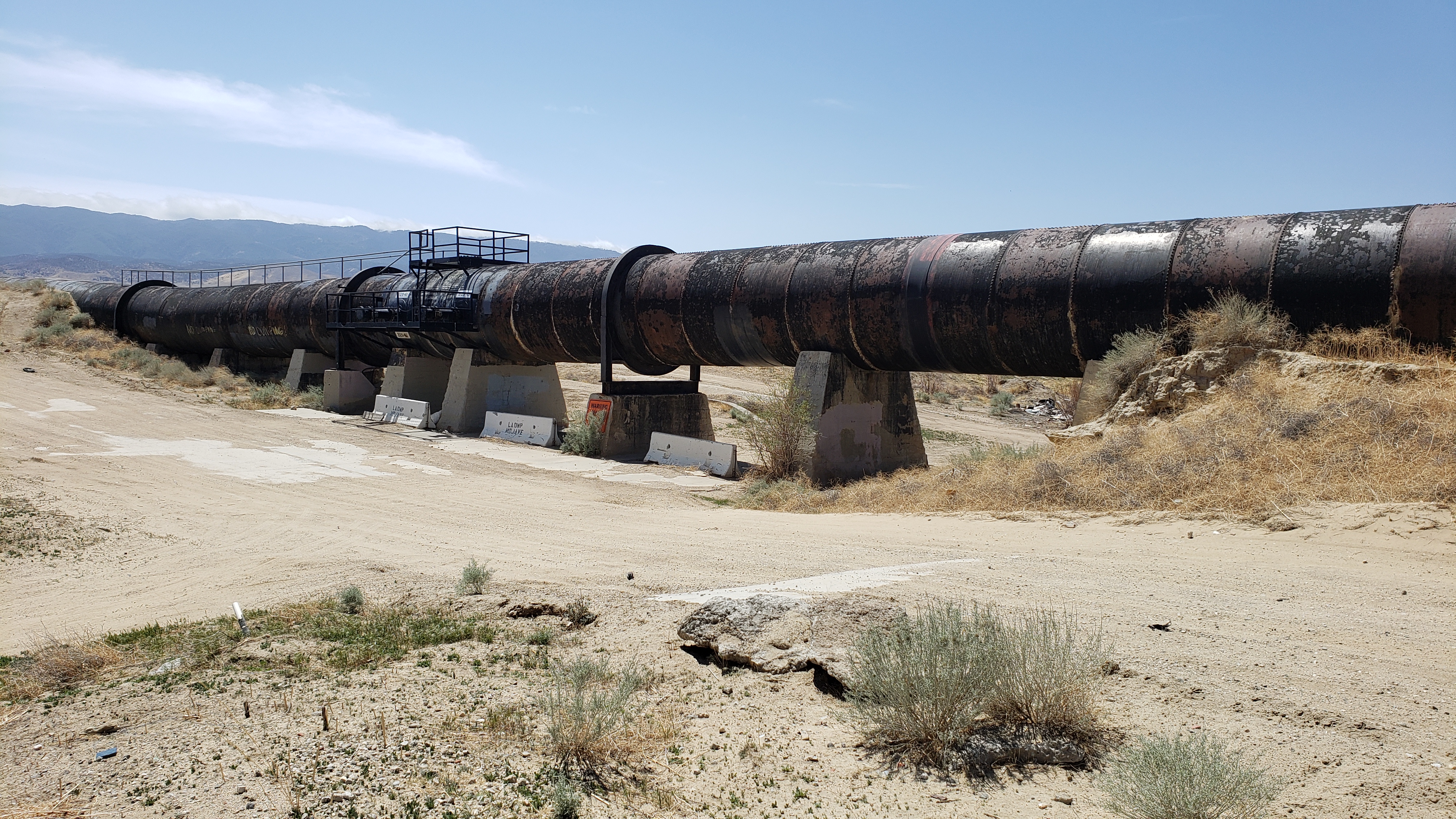
This pipe section of the Aquaduct is a siphon which allows the Aquaduct to cross low-lying ground. As we learned in grade school, water always seeks its own level. The altitude at both ends of the siphon is the same even though the altitude in the middle is lower. The water inside the pipe is able to flow from one end of the siphon to the other without any pumping. Heavy metal and rivets are used for the siphon so that the pressure of the water within the pipe doesn’t burst it.
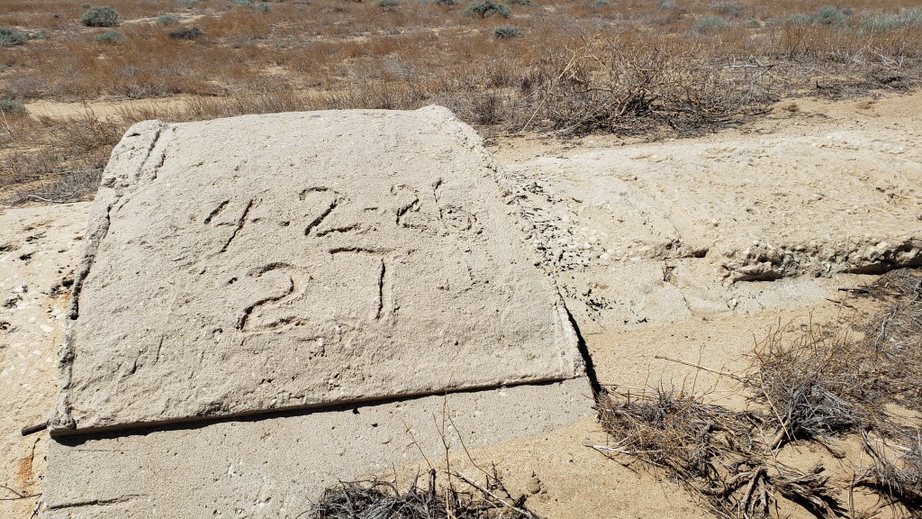
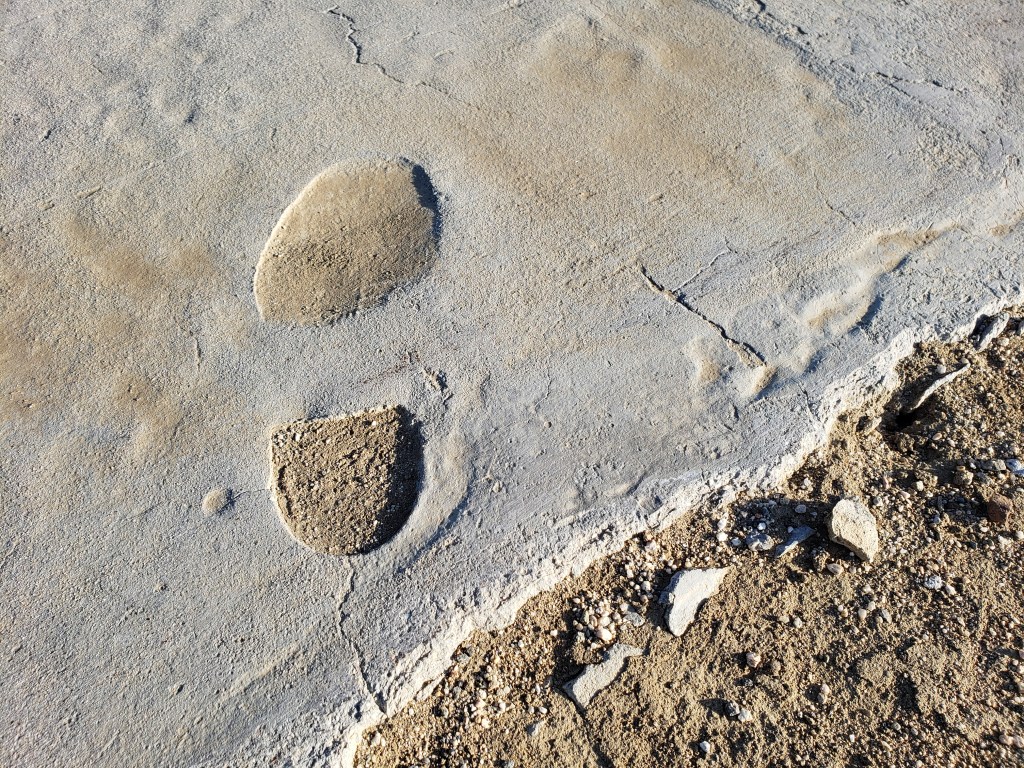
While I’m writing about the Aquaduct, here’s a photograph of a footprint made in the wet cement years ago. The foot and shoe clearly belonged to a big-wig coming to inspect the work progress. He didn’t have the good sense not to step in concrete. I write big-wig because of the smooth leather sole of the shoe. That’s not the sole of a work boot.
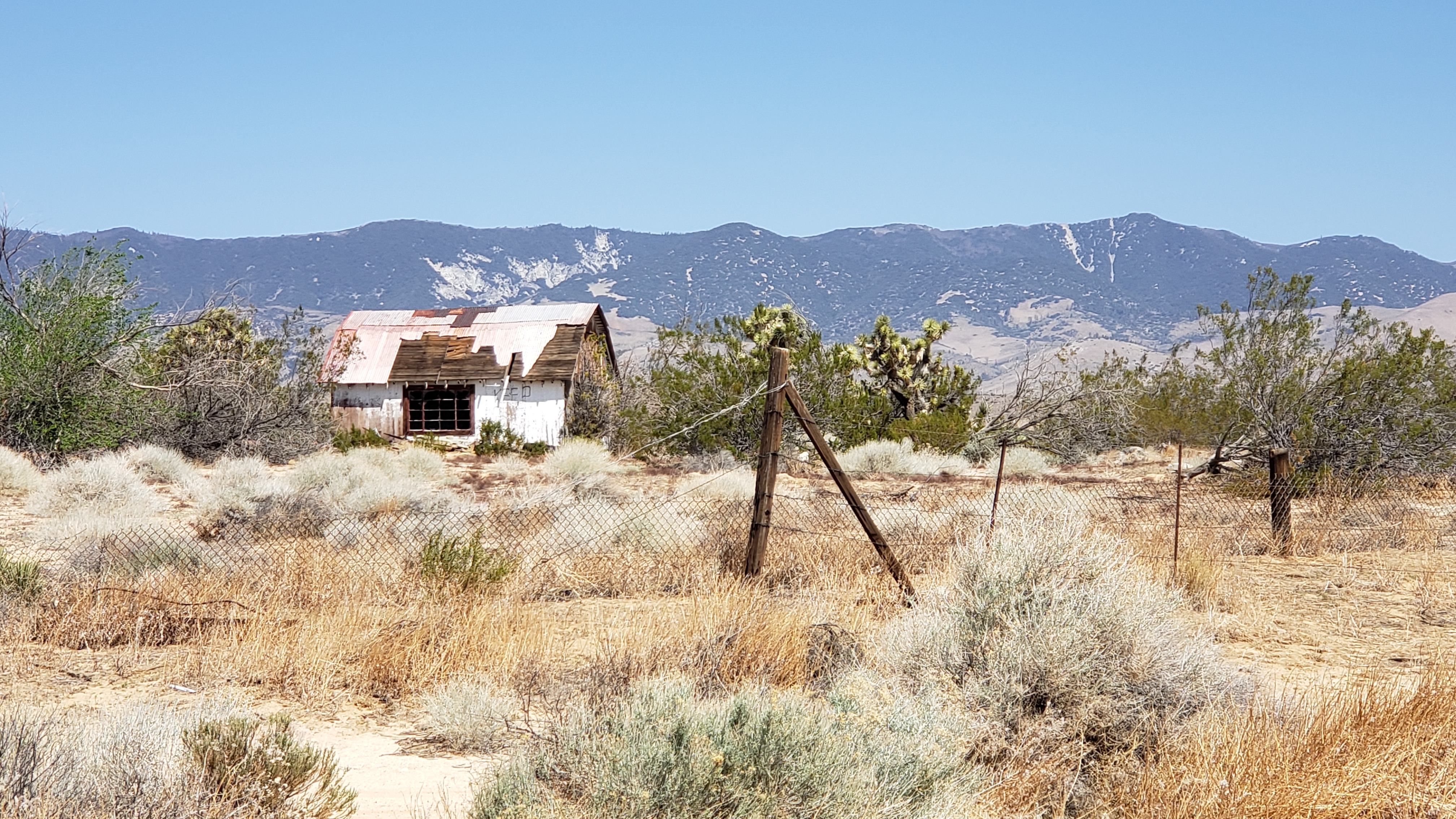
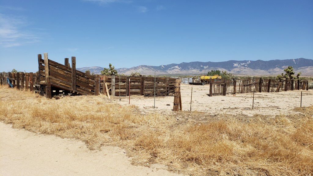
The desert is an interesting place. It seems to be where trailers come to die and homes to fall apart.
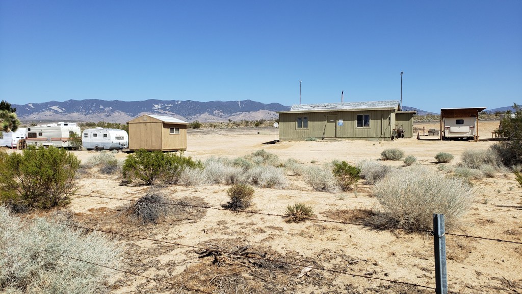
Not all the homes are in such bad shape, however.
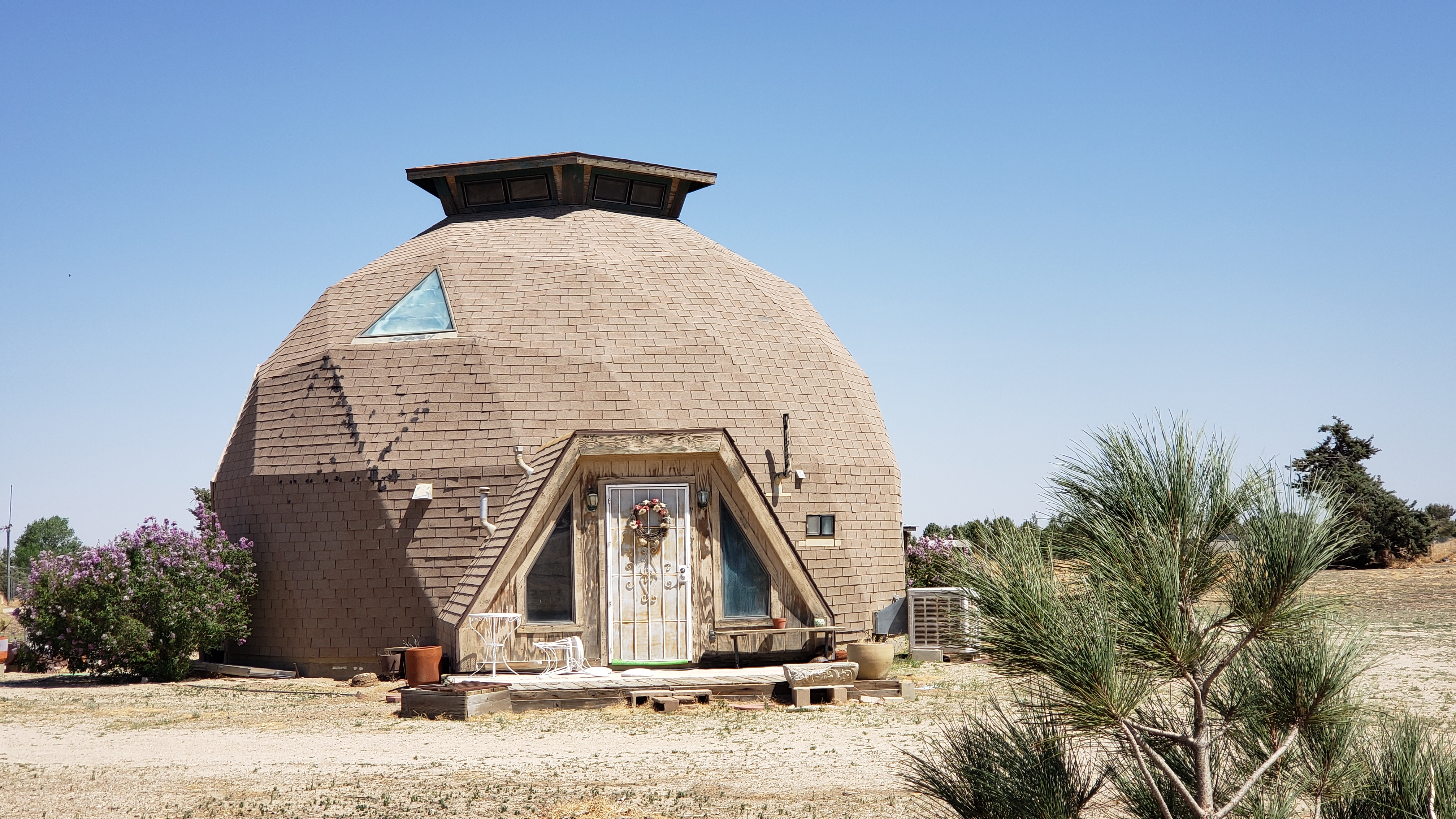
The geodesic dome home. Never out of style, according to this homeowner.
Even though the Antelope Valley is desert, grazing takes place in the winter.
As mentioned in another post, I’m staying at Hikertown tonight. I leave the Antelope Valley tomorrow morning.
Just before I reached Hikertown, I crossed the California Aquaduct.
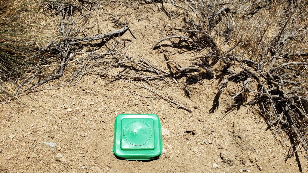
One last photograph.