For just the second time this year, I was able to get out on a hike. My wife and I are renovating our house. I’ve had to stay close to the phone all year to manage the architect, the interior designer, the contractor, the purchasing of appliances, cabinets, and fixtures, and so on. I’ve lost a year of my life to a home remodel I didn’t want to do, but which my wife definitely wants. For me, this was a new version of the “life gets in the way” reality when it comes to getting out to the woods.
I had planned a six-day 60-mile loop hike in the San Rafael Wilderness of Los Padres National Forest. The wilderness area is in backcountry Santa Barbara County. The jumping-off point would be Nira Campground. This primitive campground (no electricity, no running water, pit toilets) is at the end of a long, narrow, winding, mostly paved road that penetrates the mountains. The trailhead is 105 miles from my house, but it takes 2.5 hours to get there.
My hiking route would take me up Manzana Creek, over a divide, down to the Sisquoc River, up the river valley to Alamar Saddle and the principal San Rafael Mountains ridgeline, along that ridge to Cachuma Saddle, then down Sunset Valley to my start.
Unfortunately, the hike was a partial bust. Two days in, I came to impassable trail, overrun with brush, so I had to turn around. I ended up hiking 34 miles over 3.5 days.
Going in, I knew that overgrown trail was a risk, so I picked well-used trails which would have the best chance of being open. Most of these trails I had hiked in part, in previous years. Alas, the Sisquoc Trail, a very popular trail, was overgrown along the parts of it which travel along the south bank of the Sisquoc River. The south bank gets more sun than the north bank, so brush grows there faster. Due to budget cuts and the lack of volunteers, it’s impossible for the Forest Service to stay on top of all its trail maintenance needs. Here in chaparral and sagebrush country, plants grow extremely fast. You can clear a trail one year, and three to five years later, it may be impassable.
It rained on me in camp the night before I started my hike. Then, it rained on me the first day of my hike. After that, it was clear and sunny. Temperatures the first three days had highs around 70 degrees and lows around 50. The last night it got cold, down to 38 degrees. The last day, it got warm, up to 80 degrees.
Nothing earth-shattering happened during my hike, so there isn’t much to report. I would have liked my hike to be longer, but I enjoyed it nonetheless. In the past, I would have said a day in the woods is better than a day in the office. Now, I would say a day in the woods is better than a day at home during retirement.
Keep hiking.
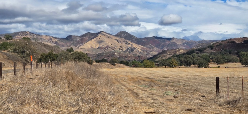
The drive in, Grass Mountain.
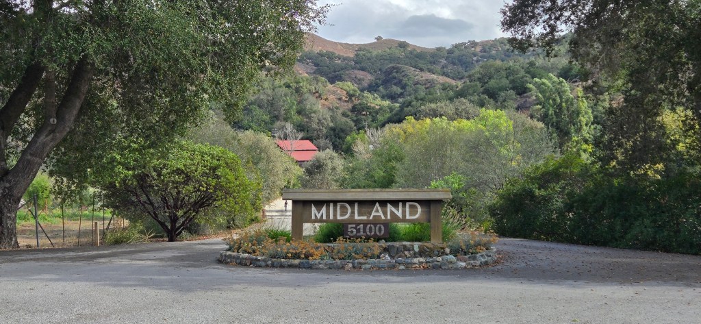
I passed by Midland School, which my son attended for high school.
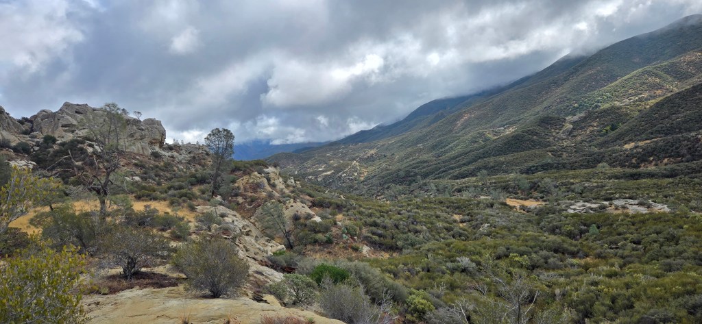
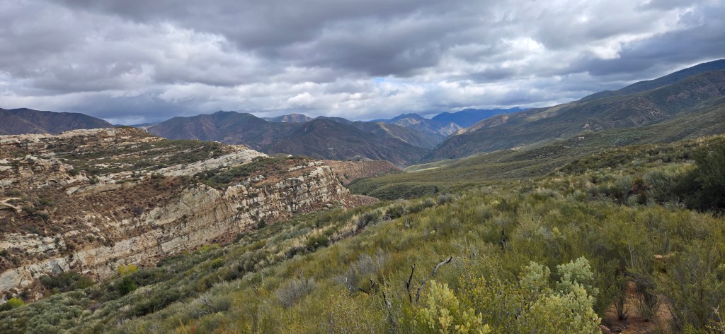
Threatening skies, my first day. I would get rained on not much later.
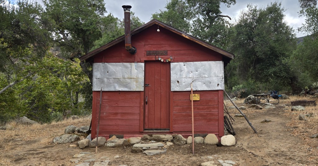
South Fork Cabin. Used occasionally by backcountry forest rangers. The cabin is left unlocked for hikers to use as well.
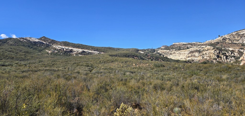
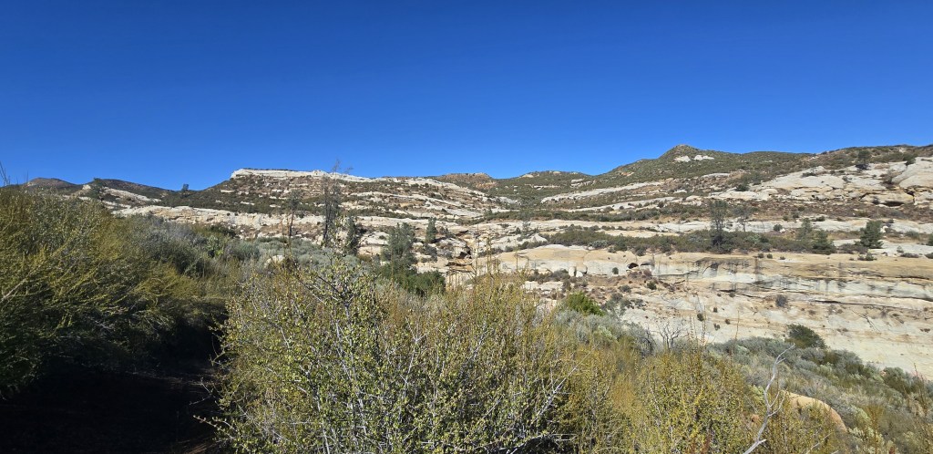
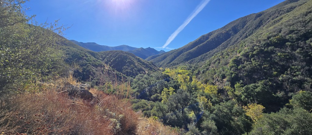
Clear skies, my last day.
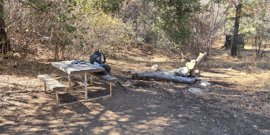
Ray’s Camp, a typical hiker camp in the Los Padres National Forest. I stopped for lunch here.
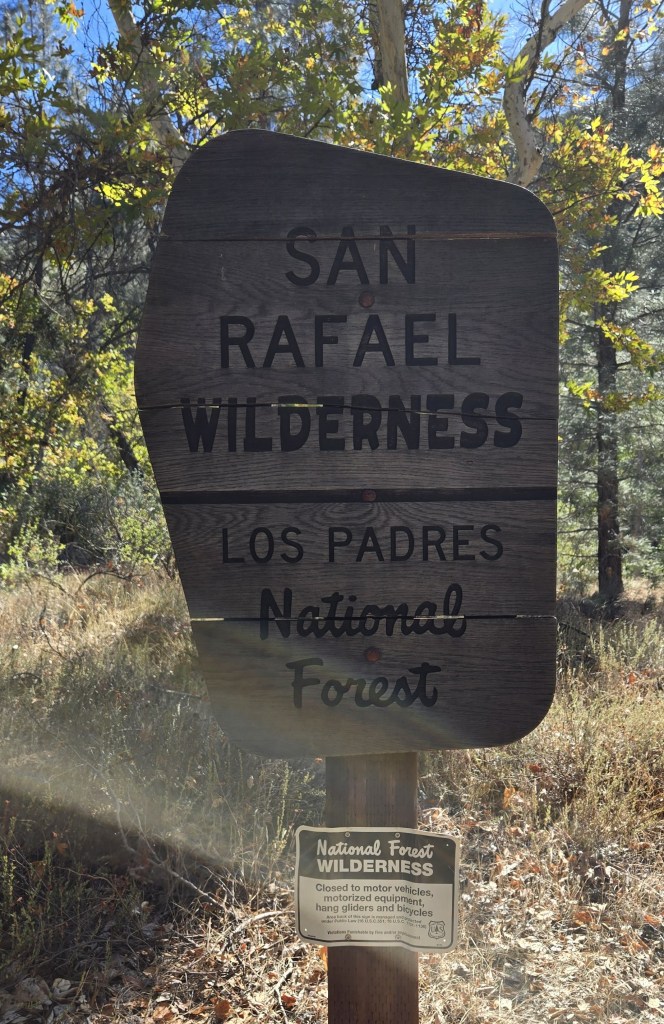
Look closely at the smaller sign. You mean I can’t use hang gliders in a Wilderness Area?


Sorry it was a bust, better luck
LikeLike