c) Andrew Carter, 2021
Author: Andrew Carter
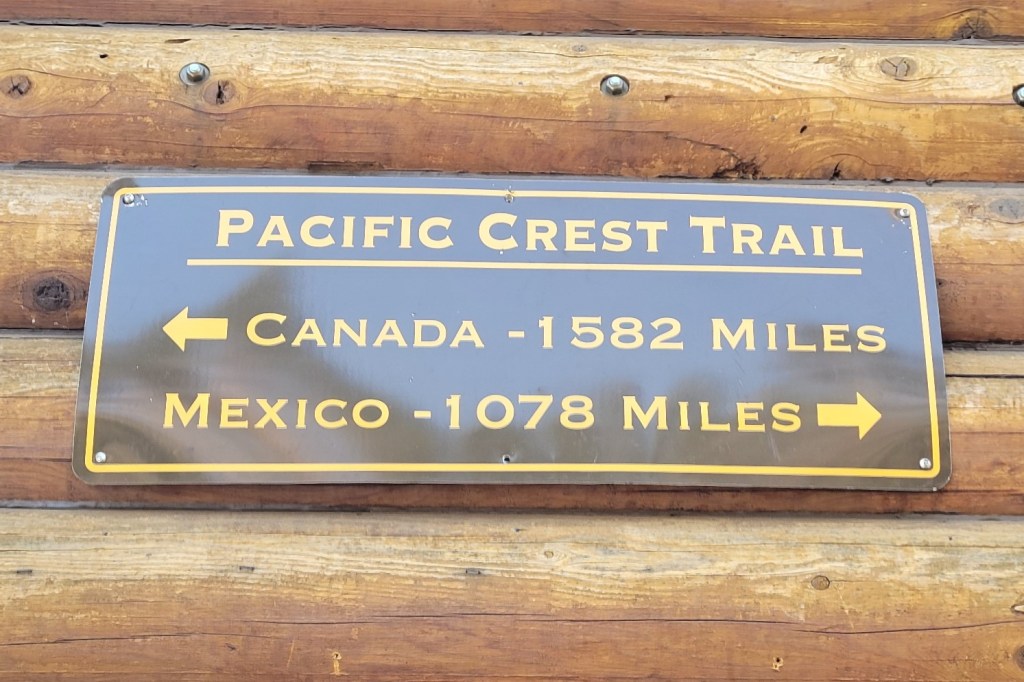
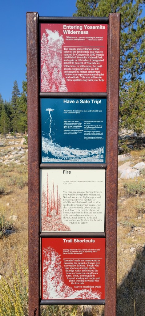
I just completed a multi-year thru hike (MYTH) of the Pacific Crest Trail (PCT). It took three years. I hiked 1840 miles in 2021, 733 miles in 2022, and 122 miles in 2023. The only reason I had to hike in 2023 was a wildfire closure at the north end of the PCT in 2022. During the past two years, I've also thru hiked other, shorter US trails. I hiked the Benton MacKaye Trail (GA, NC, TN) and the Tuscarora Trail (VA, WV, MD, PA) in 2022 plus the Ozark Highlands Trail (AR) in 2023. I hope to hike the Long Trail (VT) next year and the Colorado Trail at some point in the future. Please note, all content on this site is copyright.
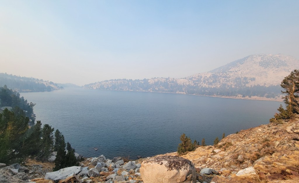
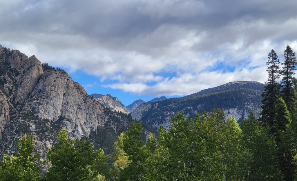
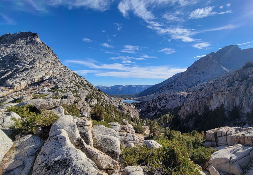
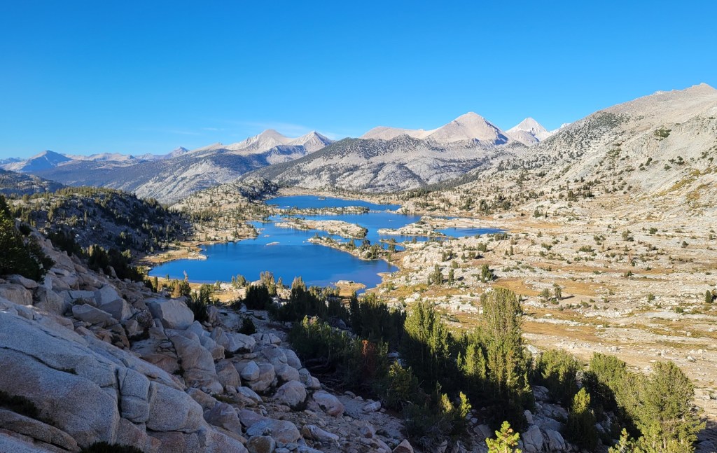
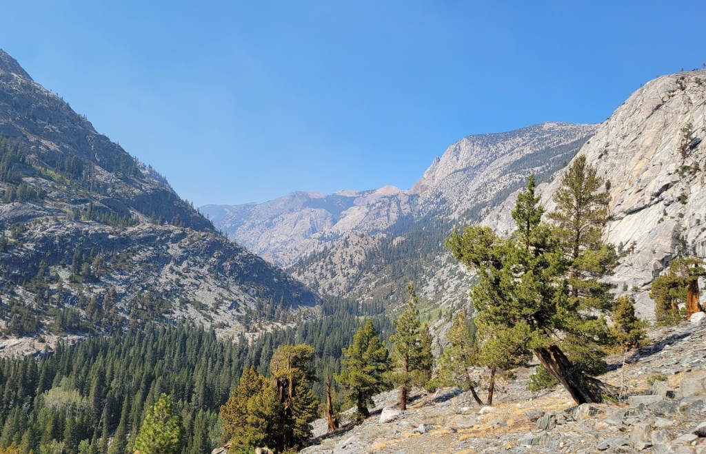
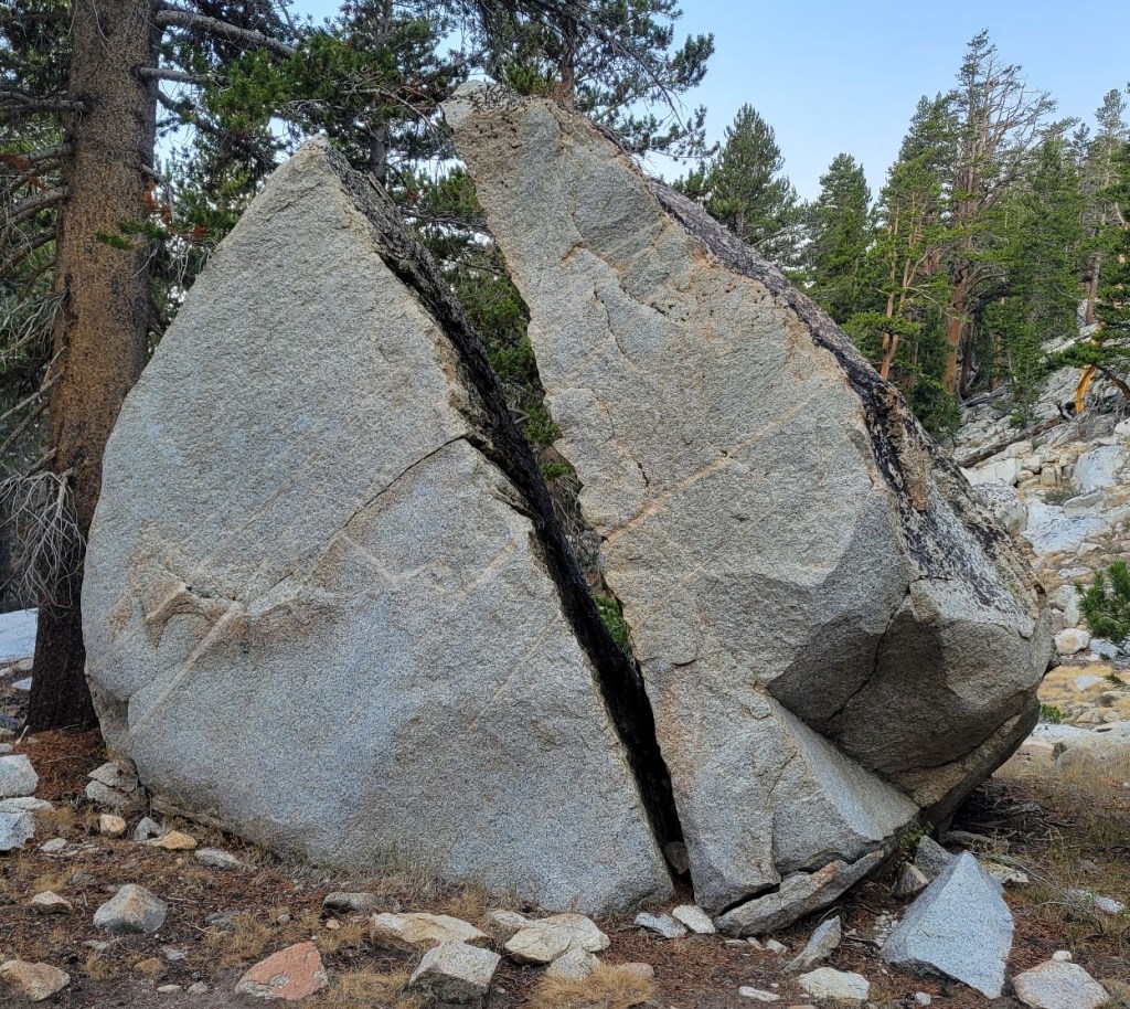
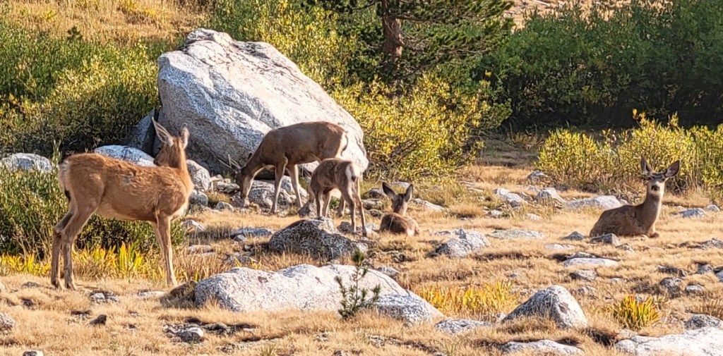
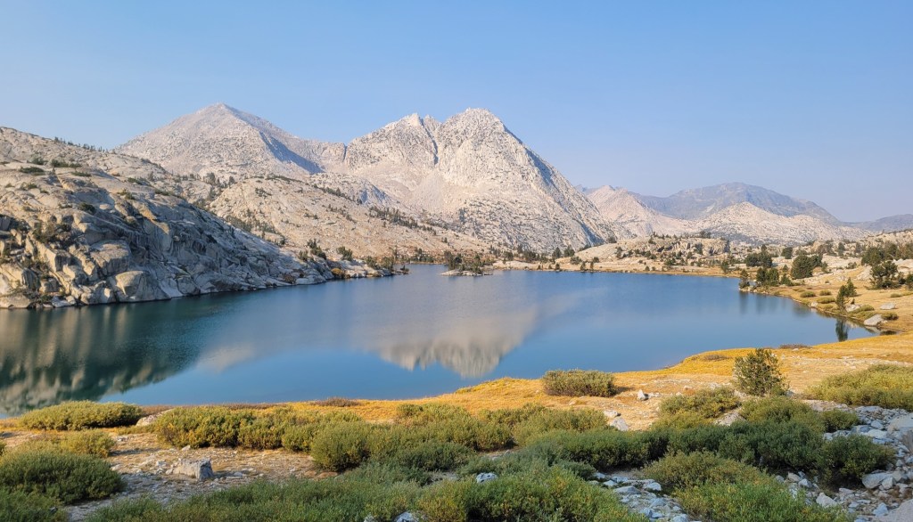
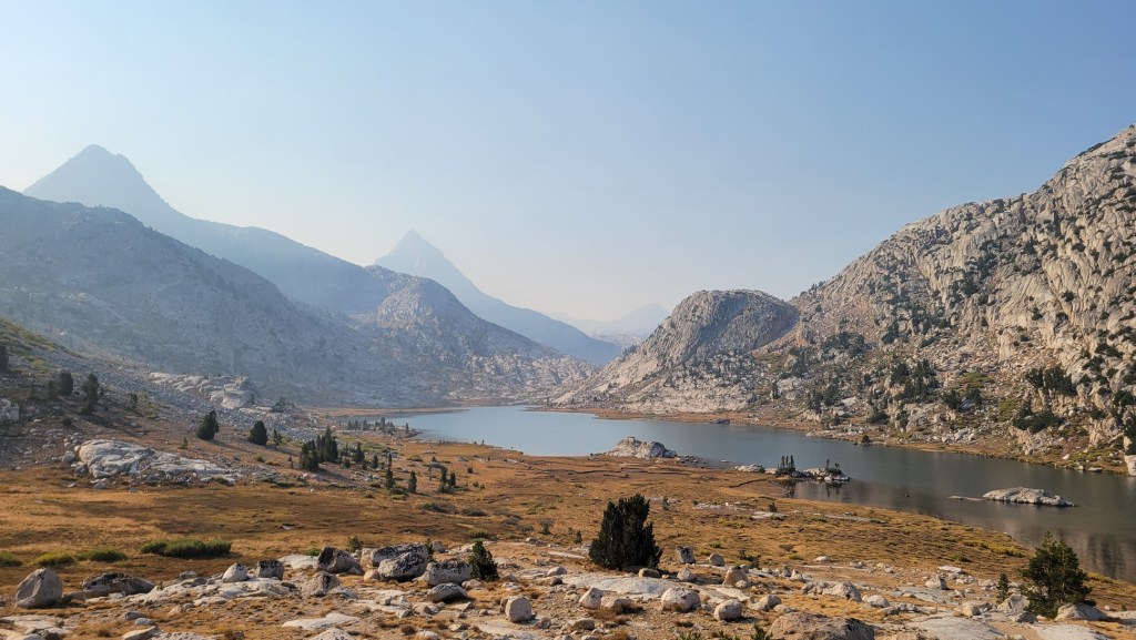
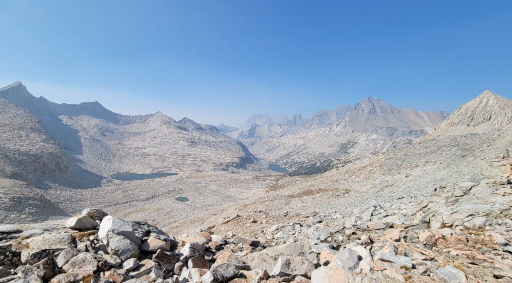
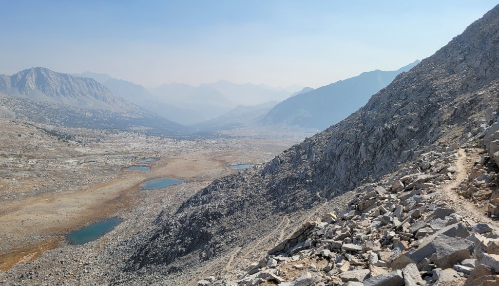
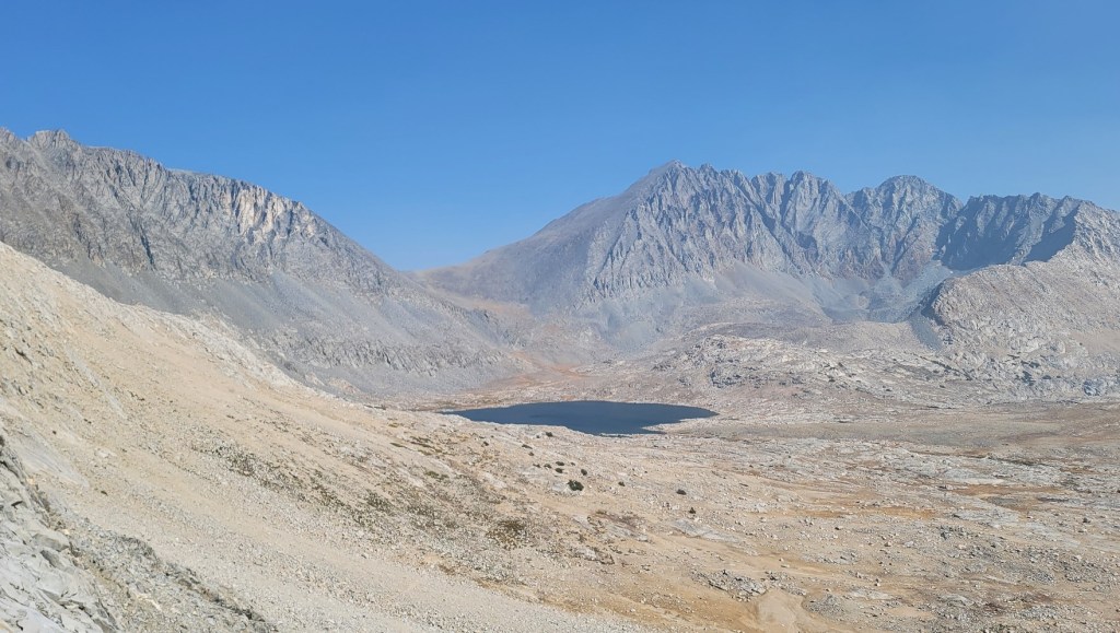
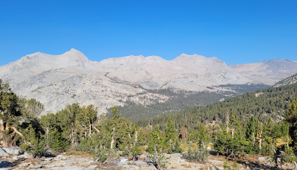
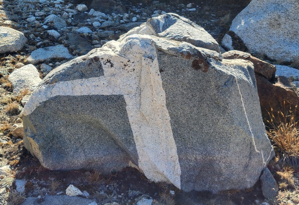
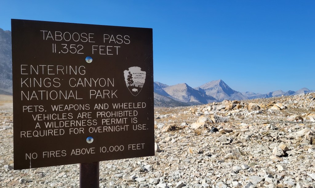
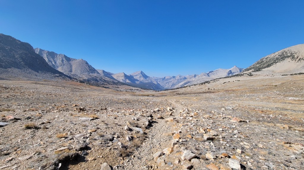
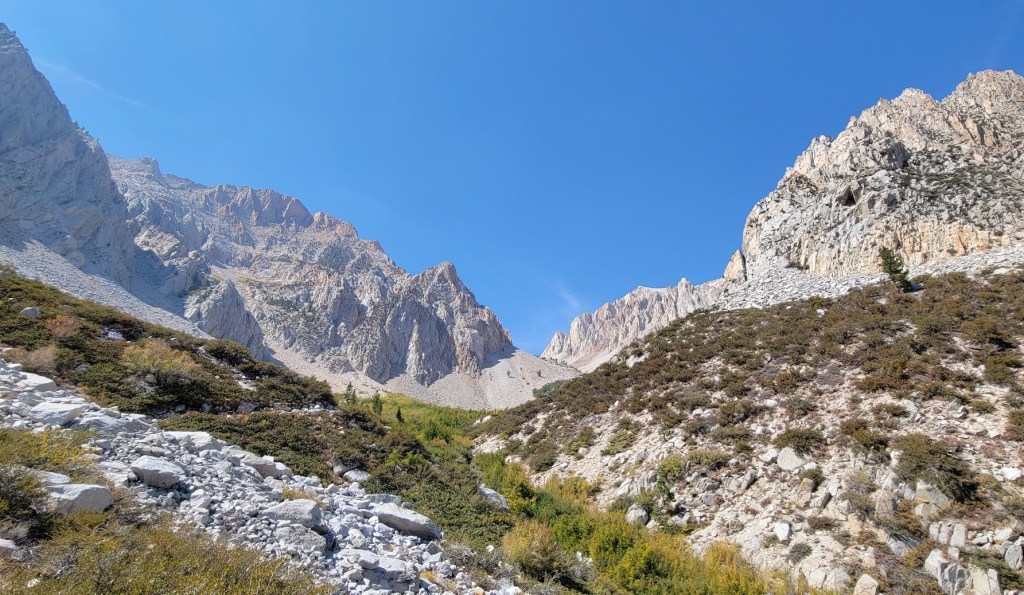
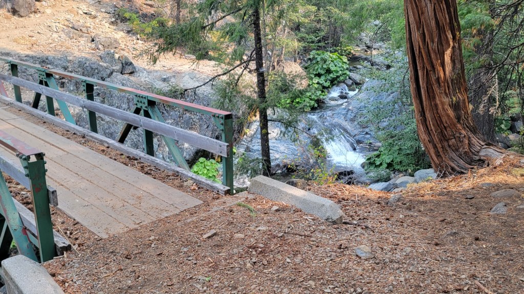
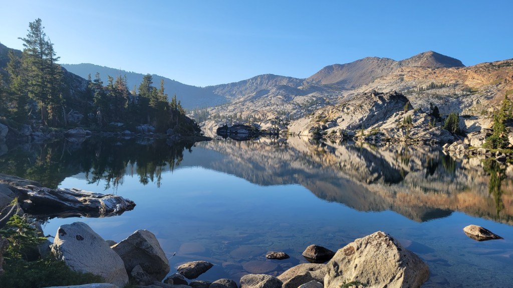
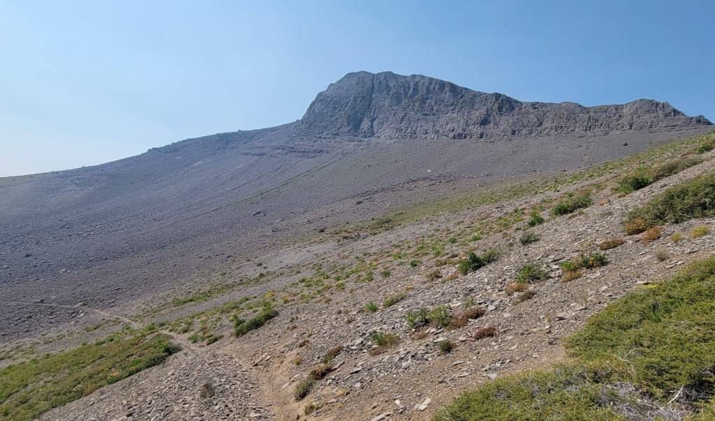
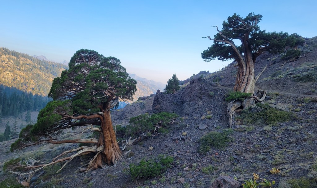
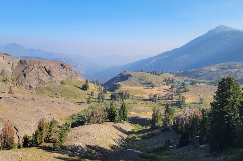
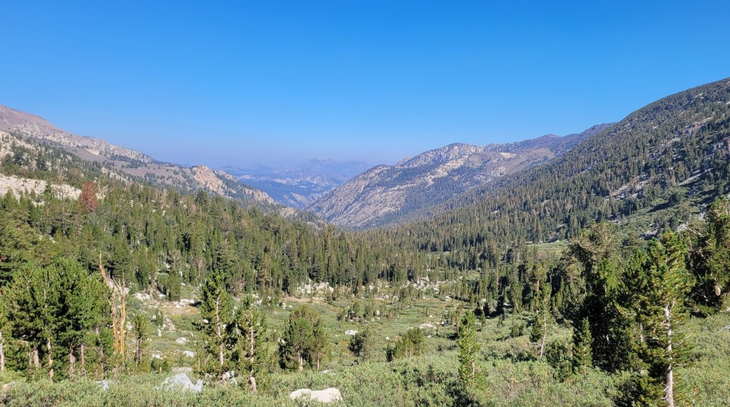
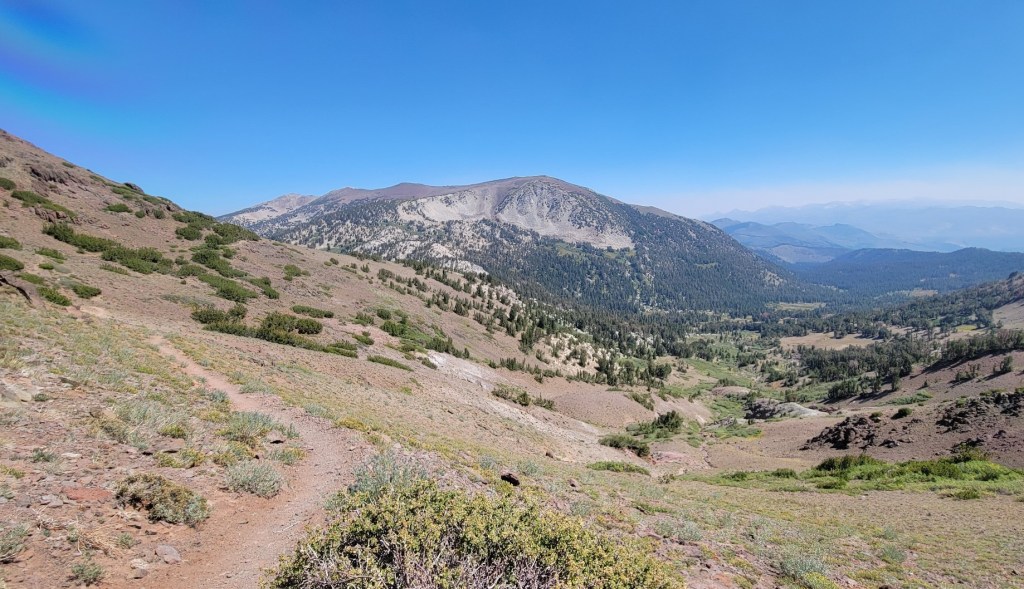
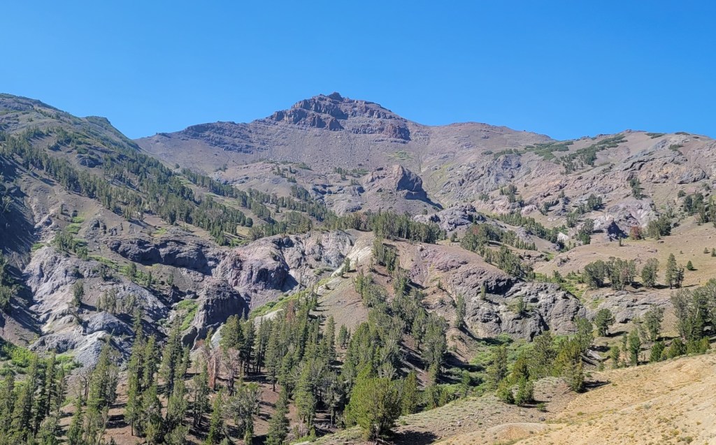
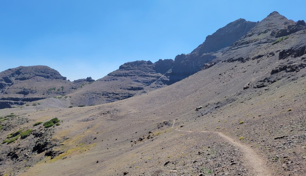
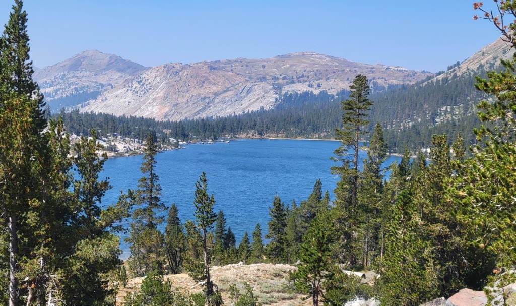
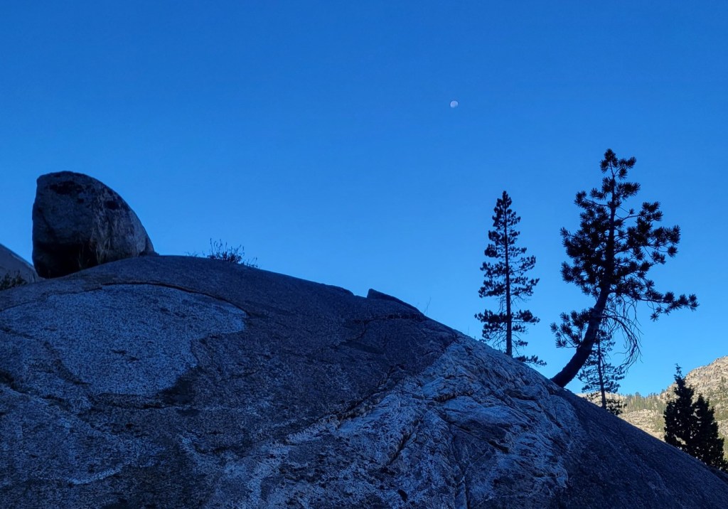
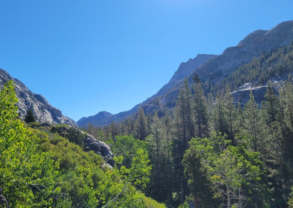
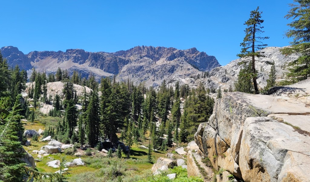
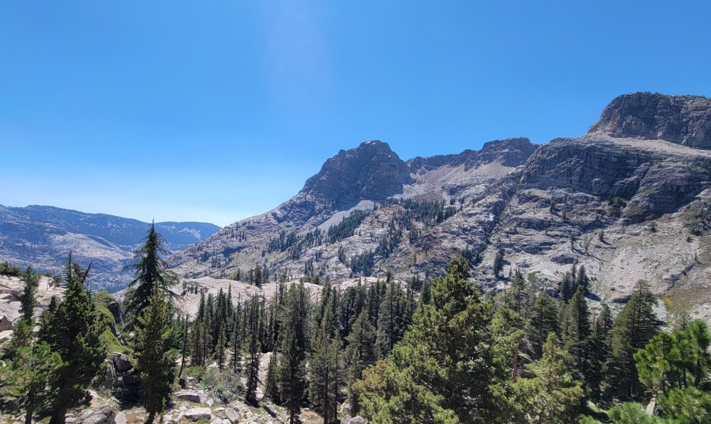
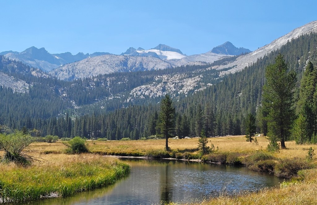
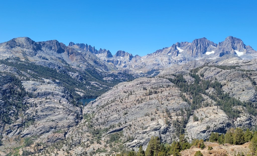
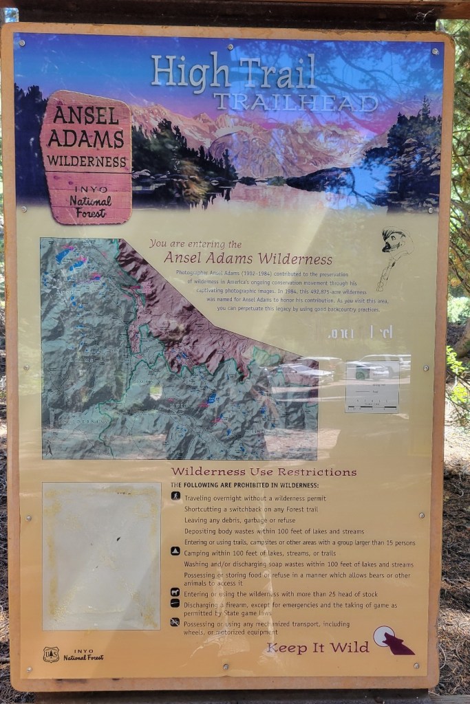
Mammoth to Independence, Part 2
c) Andrew Carter, 2021
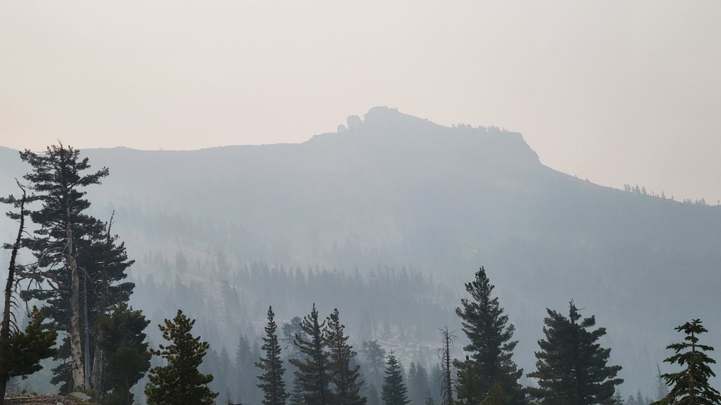
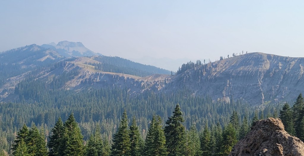
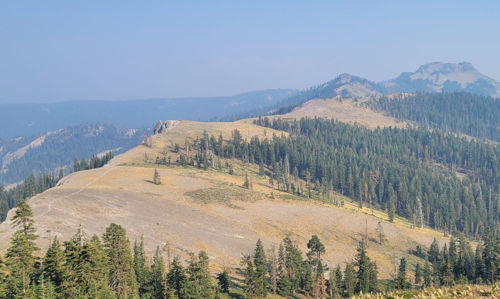
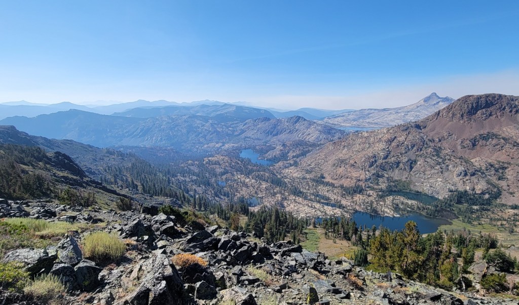
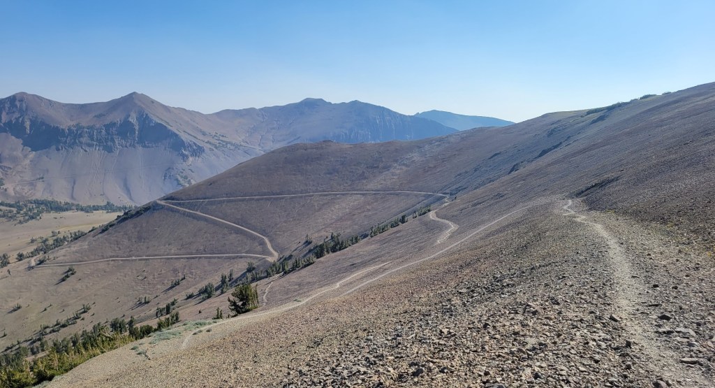
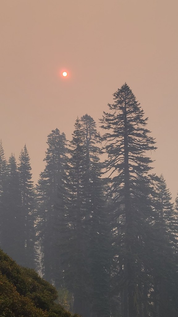
air quality got on two different days.
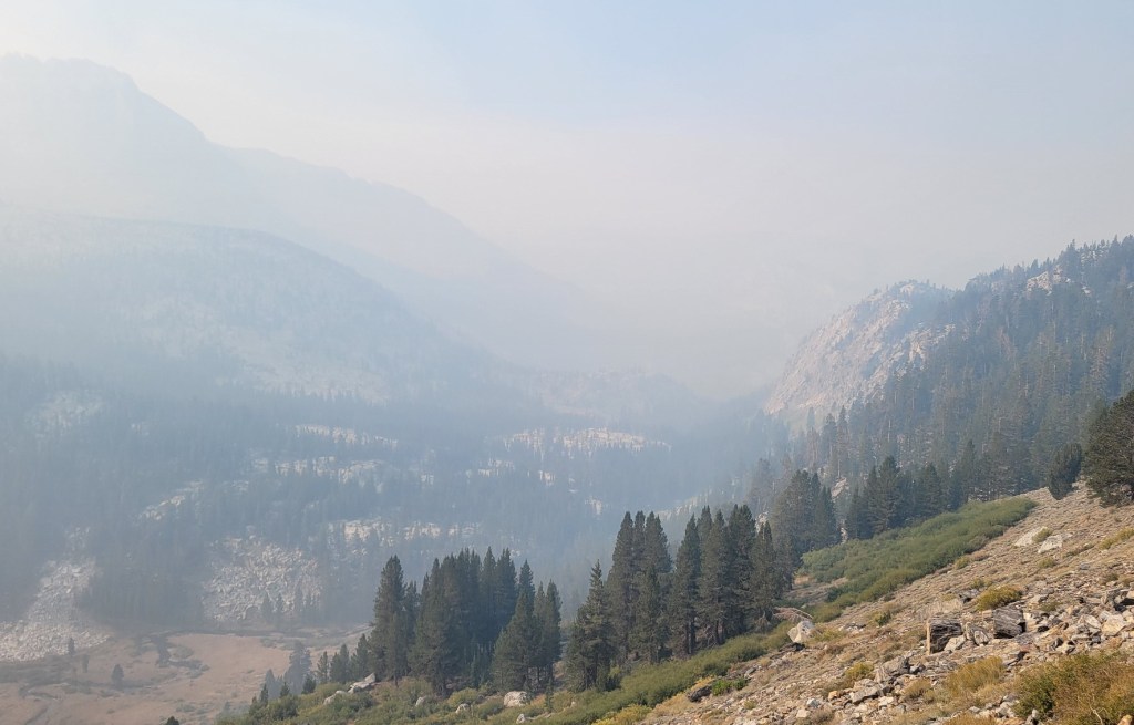
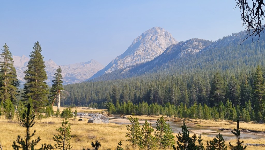
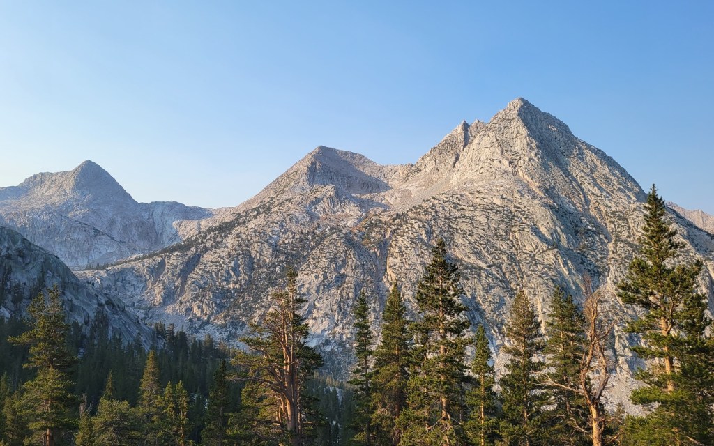
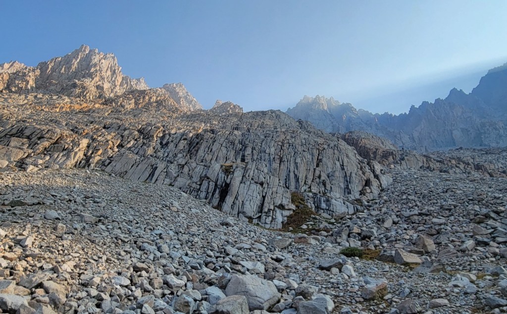
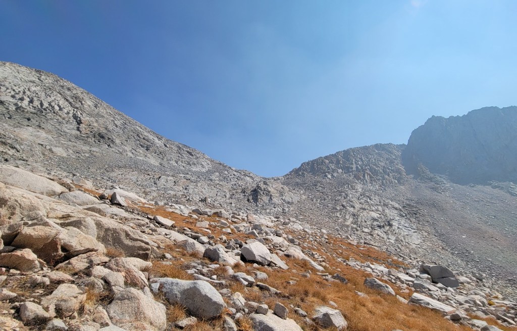
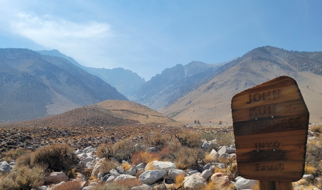
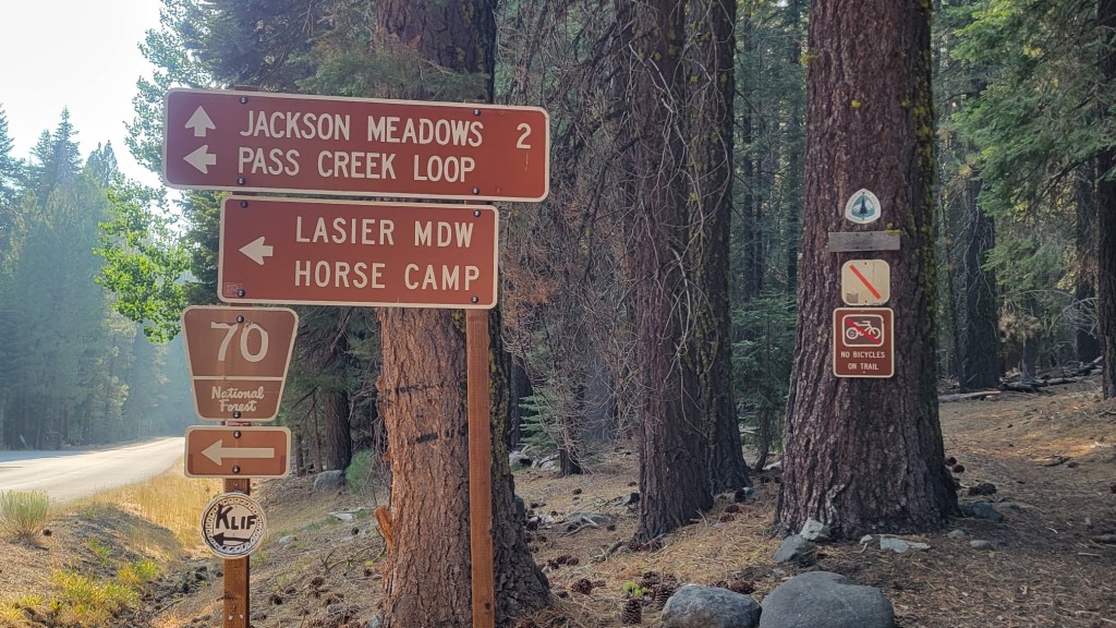
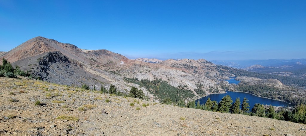
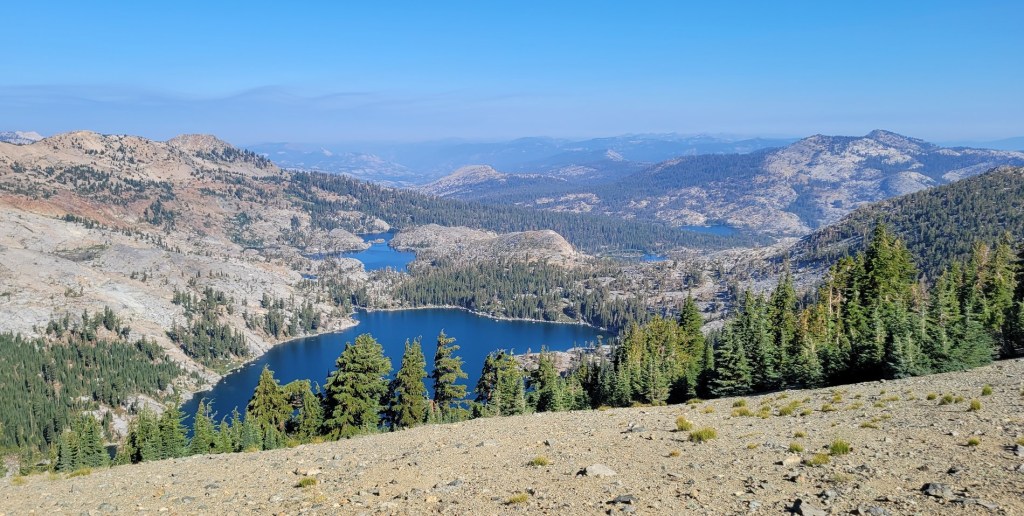
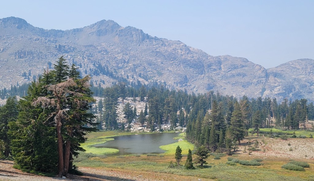
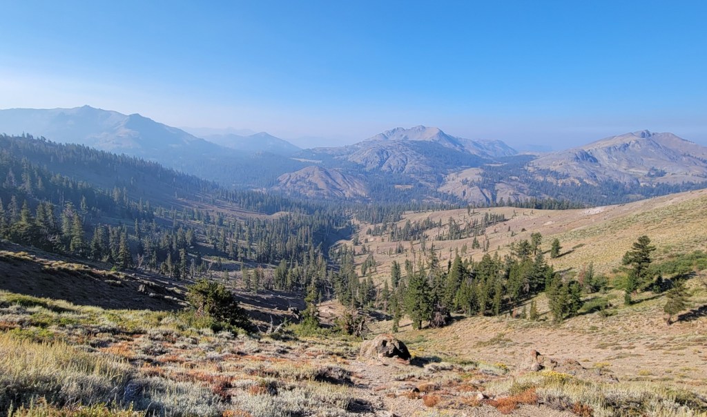
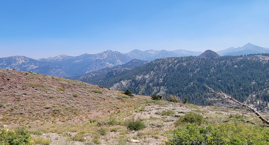
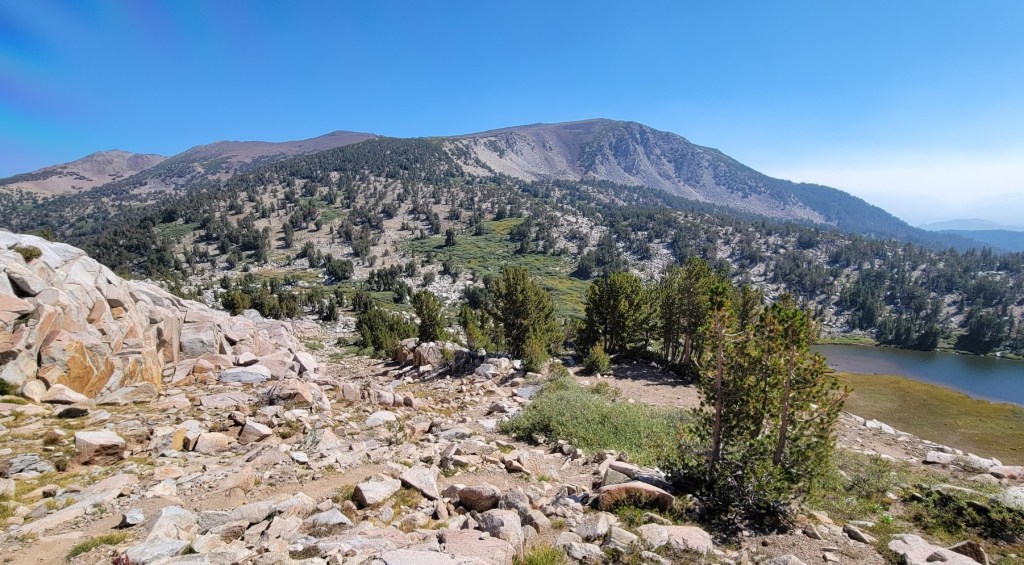
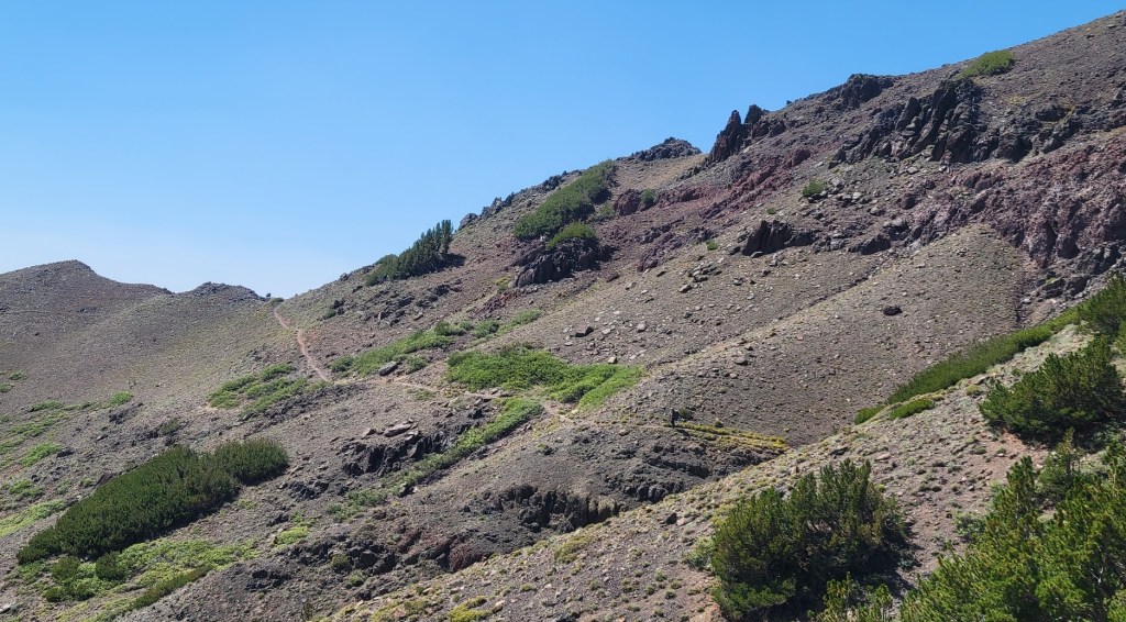
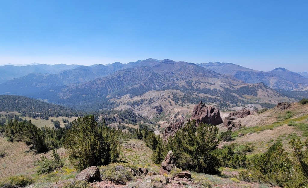
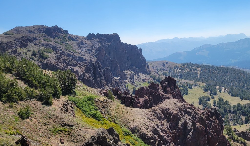
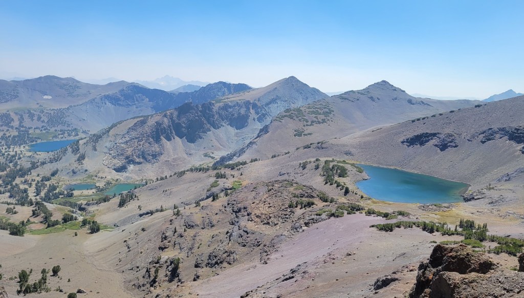
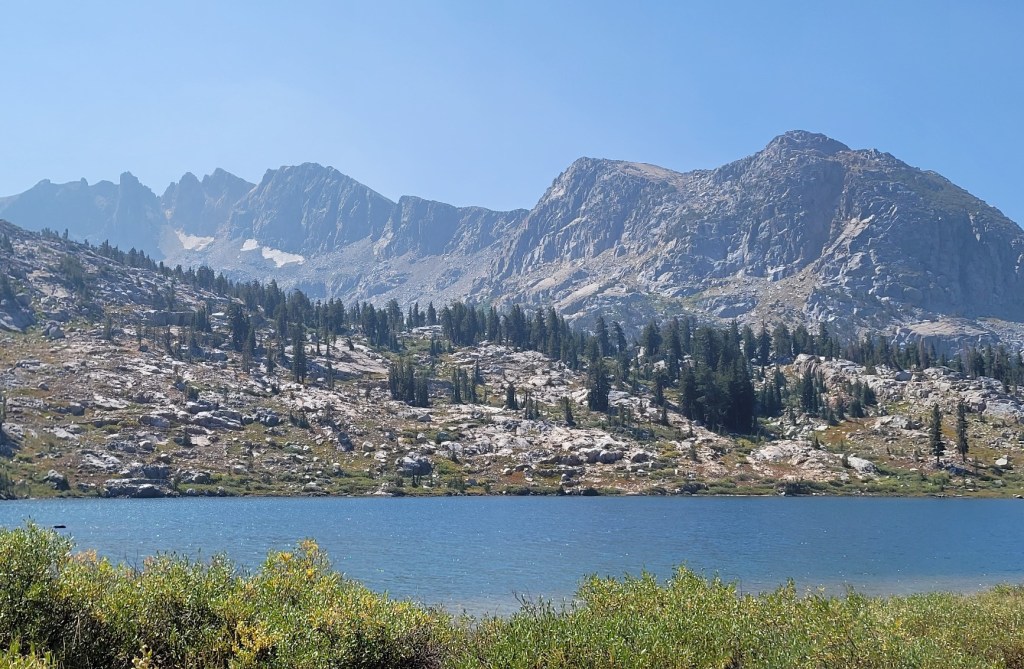
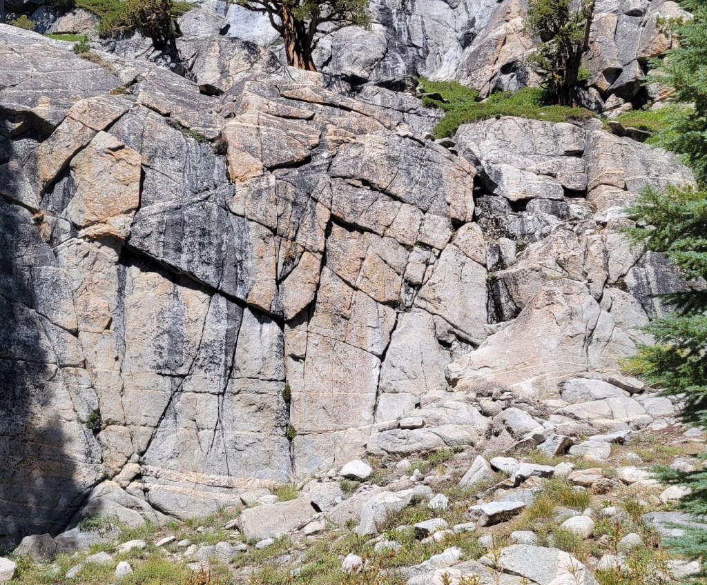
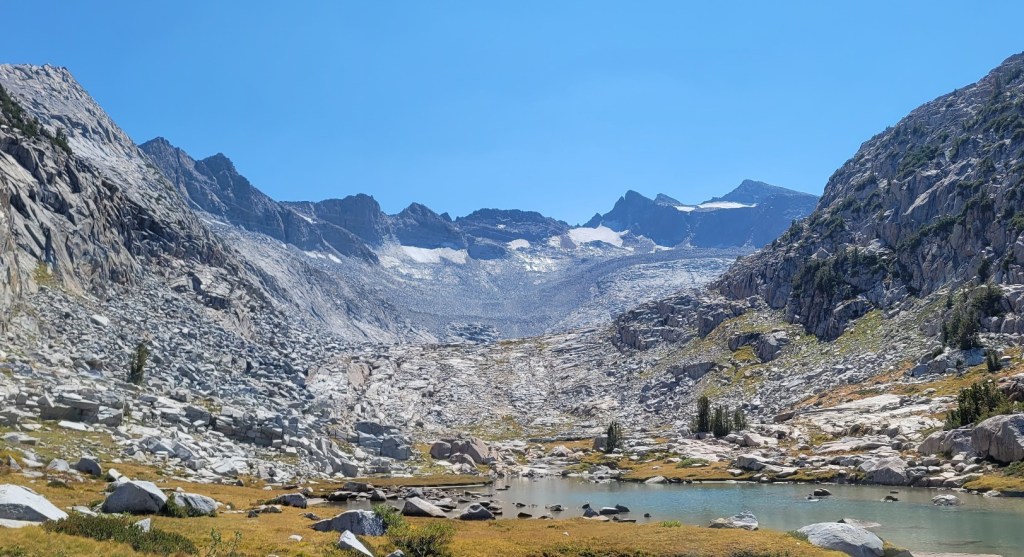
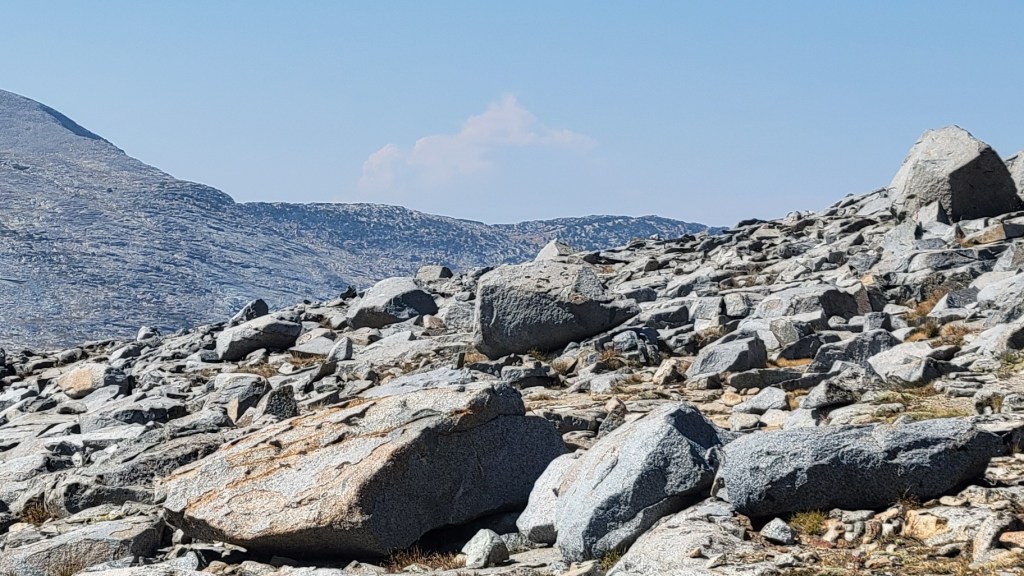
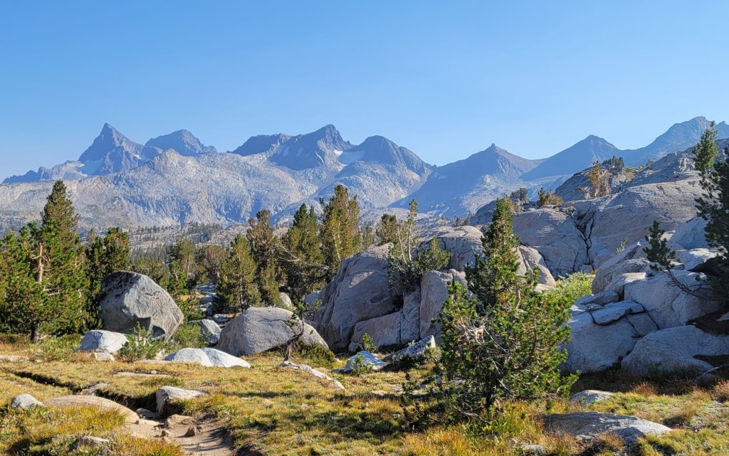
Mammoth to Independence, Part 1
c) Andrew Carter, 2021
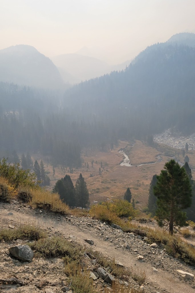
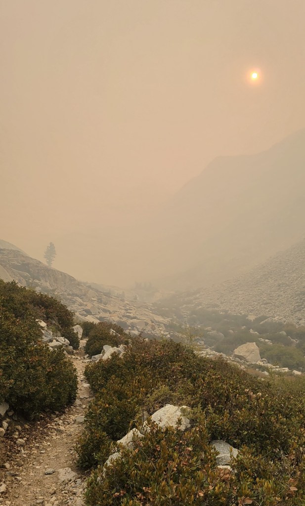
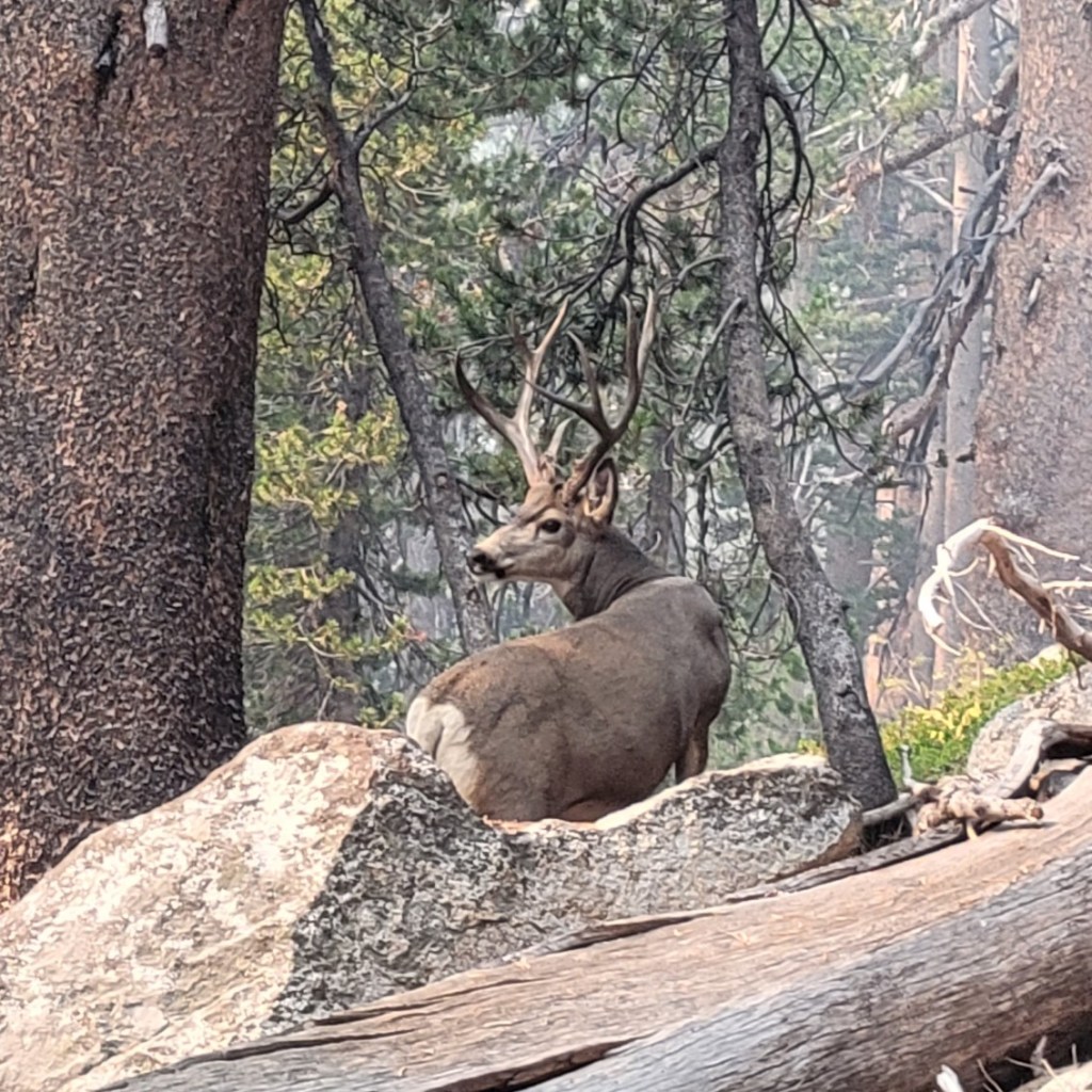
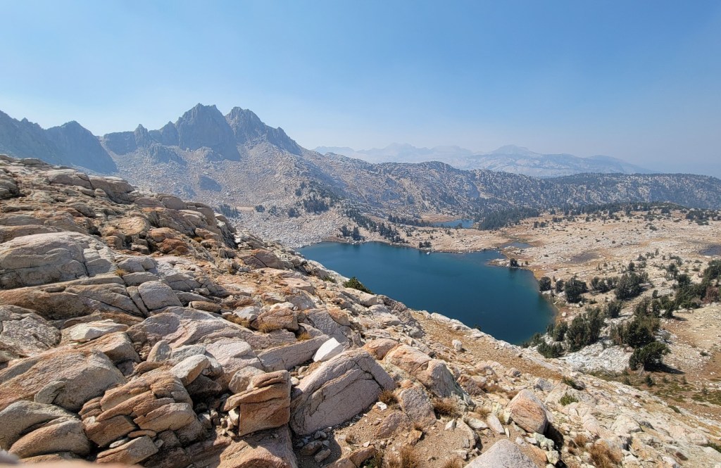
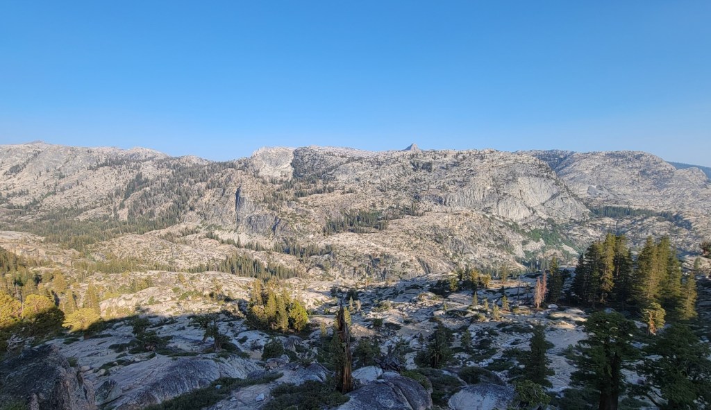
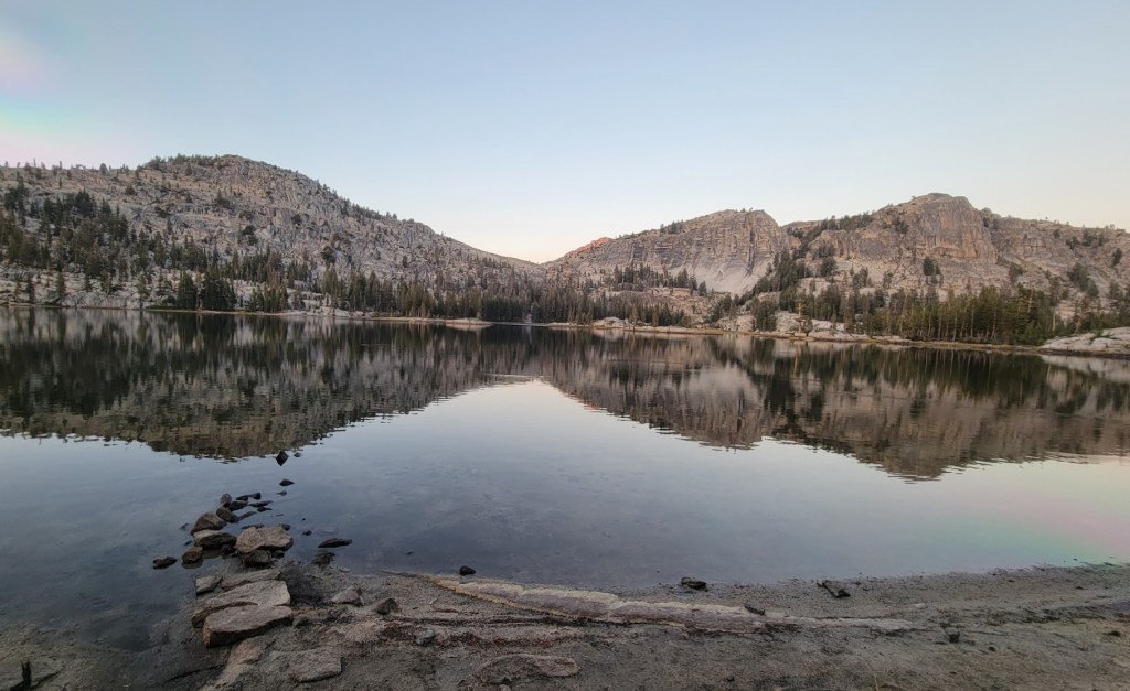
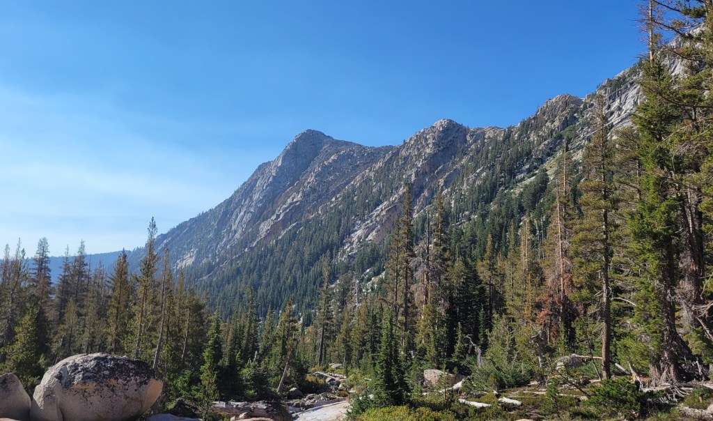
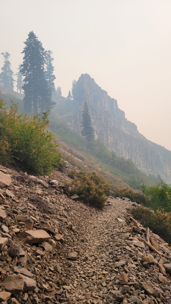
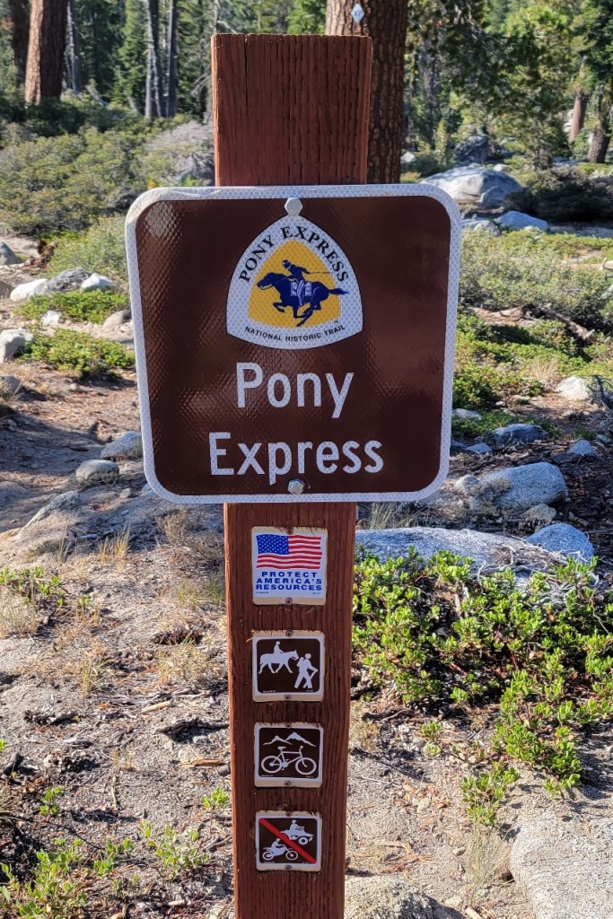
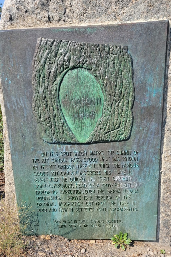
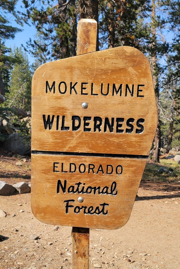
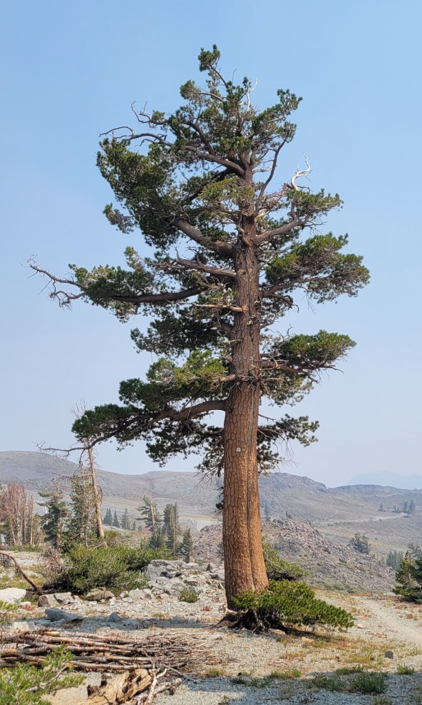
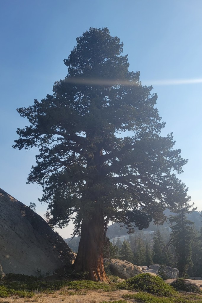
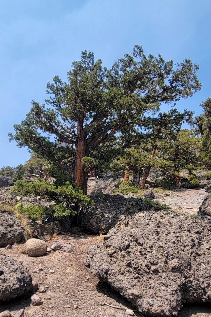
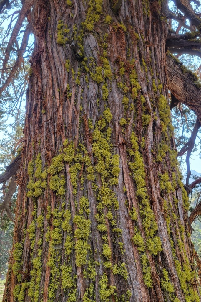
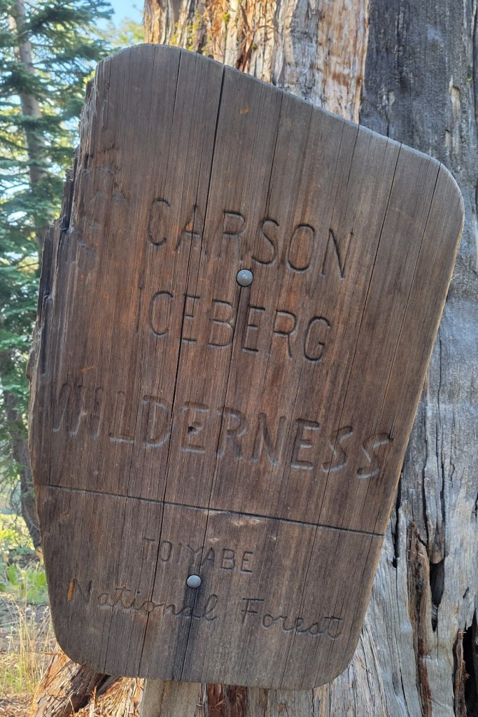
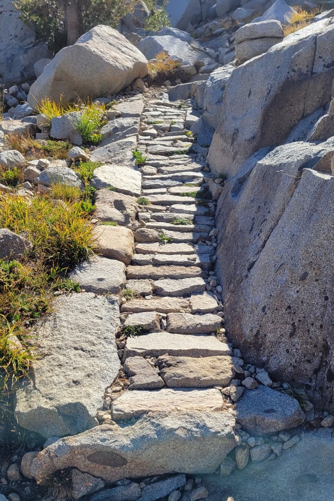
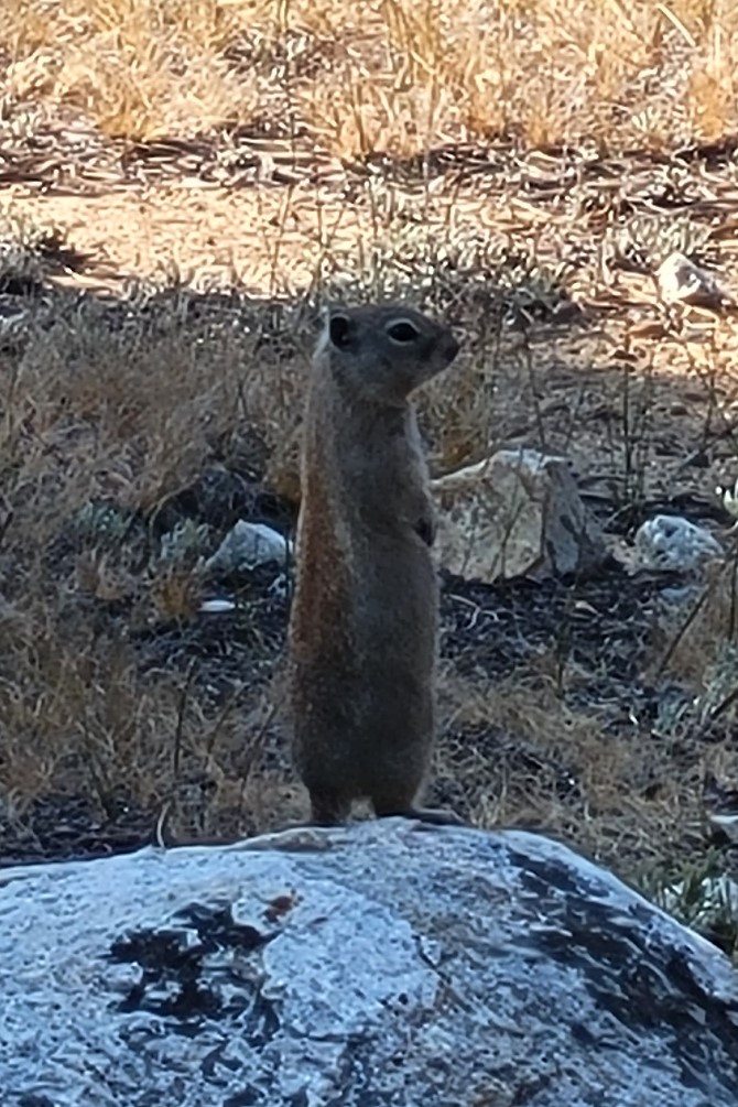
Here are some photos from the last Pacific Crest Trail section I hiked this year.
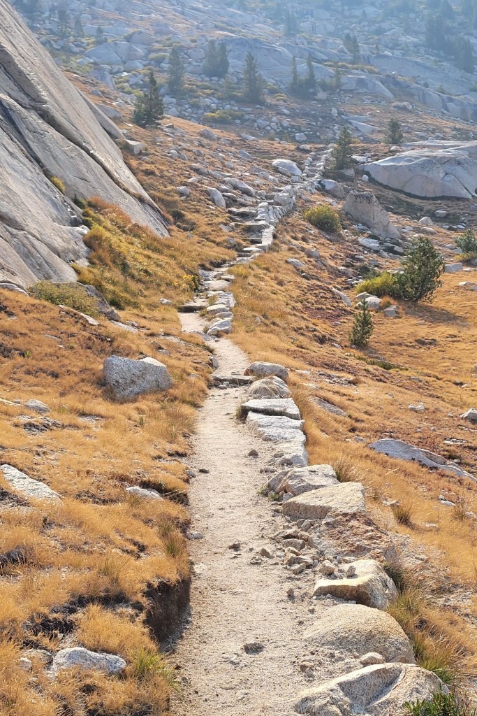
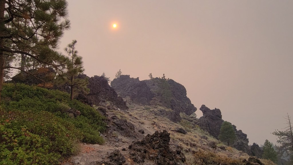
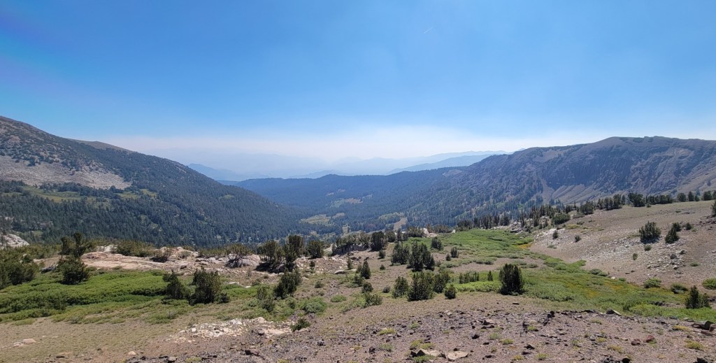
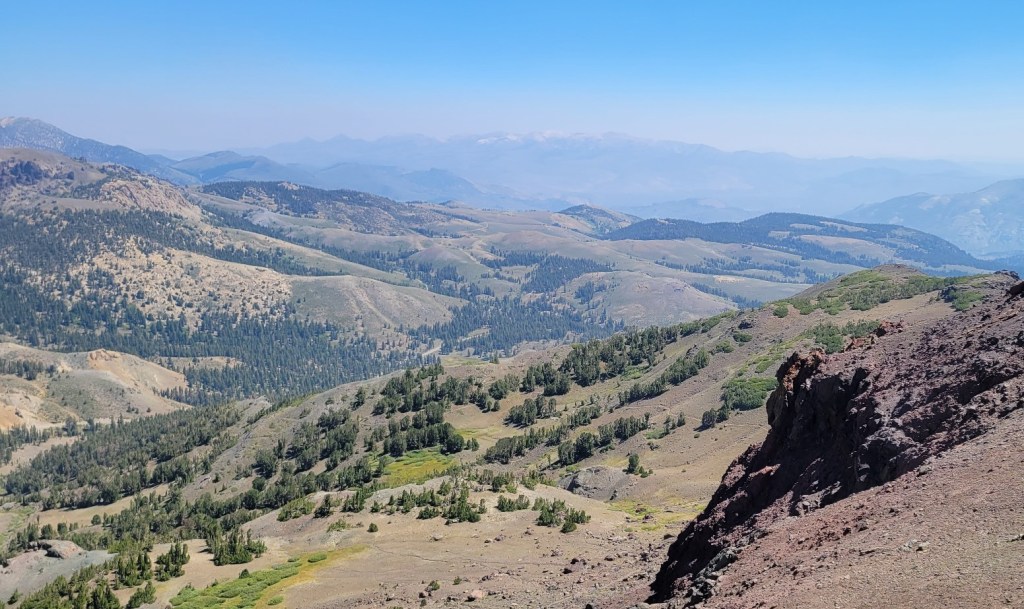
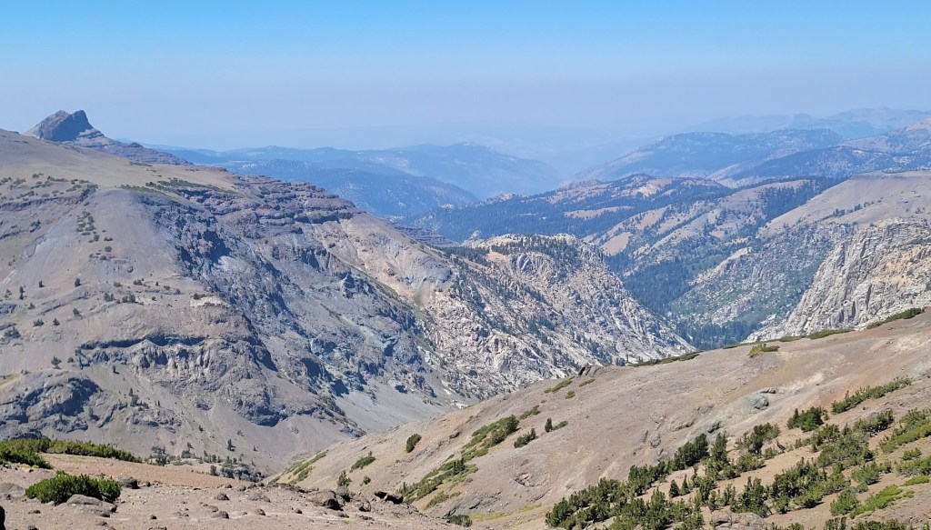
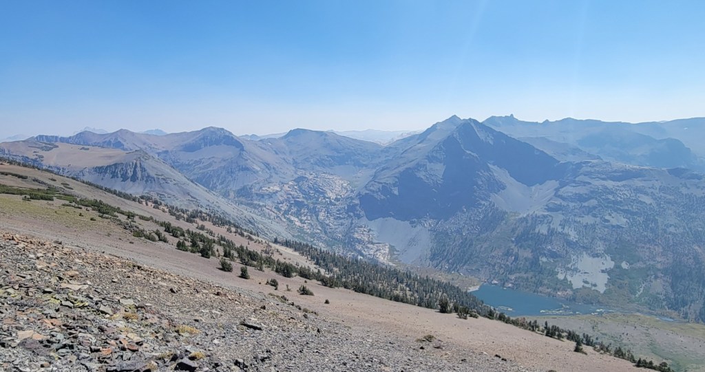
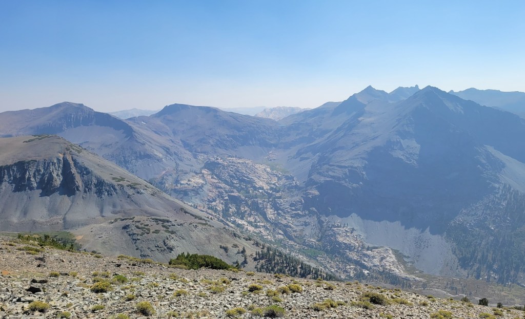
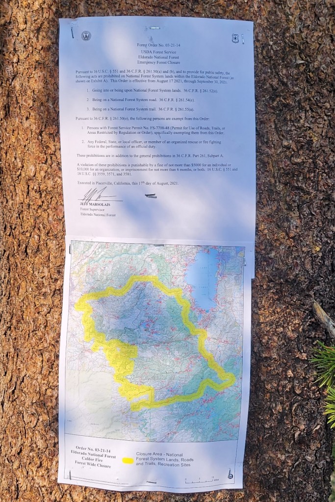
I had been forced off the trail at Mammoth at the end of August by the closure of all National Forests in California due to the on-going risk of wildfires. When the National Forests were reopened, I got back on the trail on 9/17 with the hope of making it to Walker Pass by early October. If I’d succeeded in that, I would have hiked 1985 miles this year and would have left to hike in 2022 a 15-mile section near South Lake Tahoe, which I skipped due to the Caldor Fire, plus the 650-mile section from Santiam Pass, OR to the Canadian border.
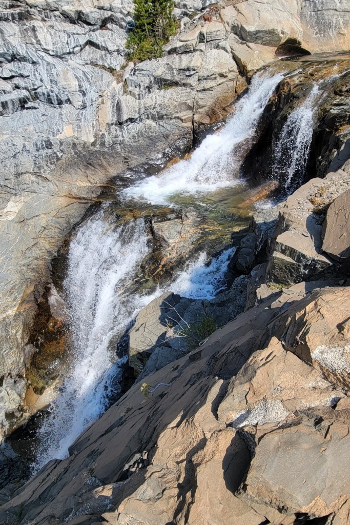
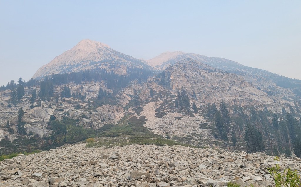
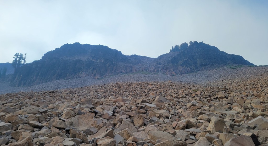
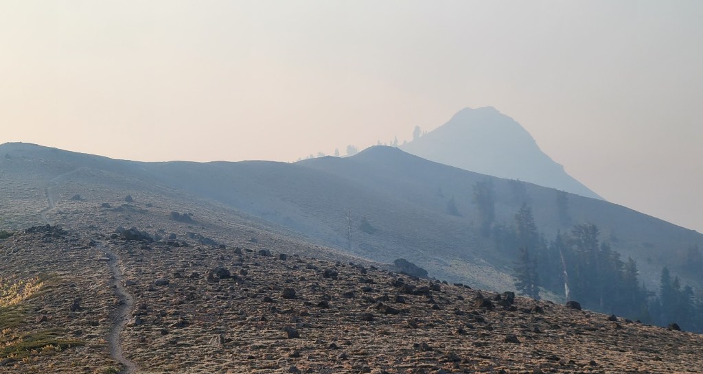
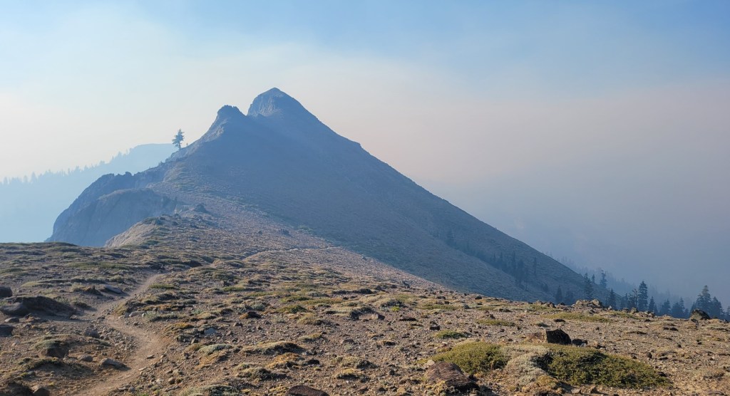
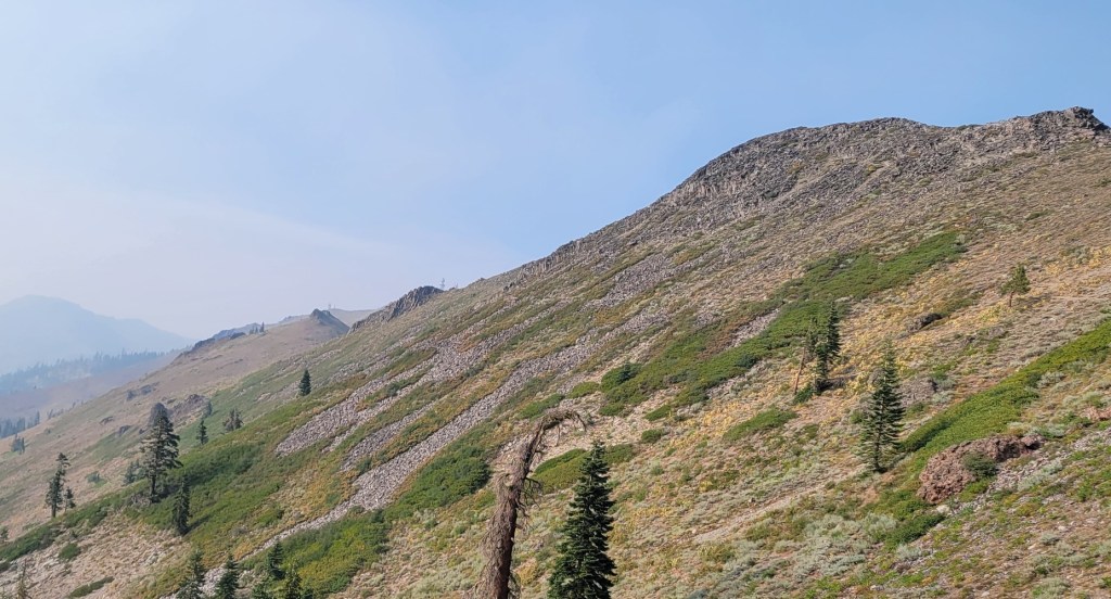
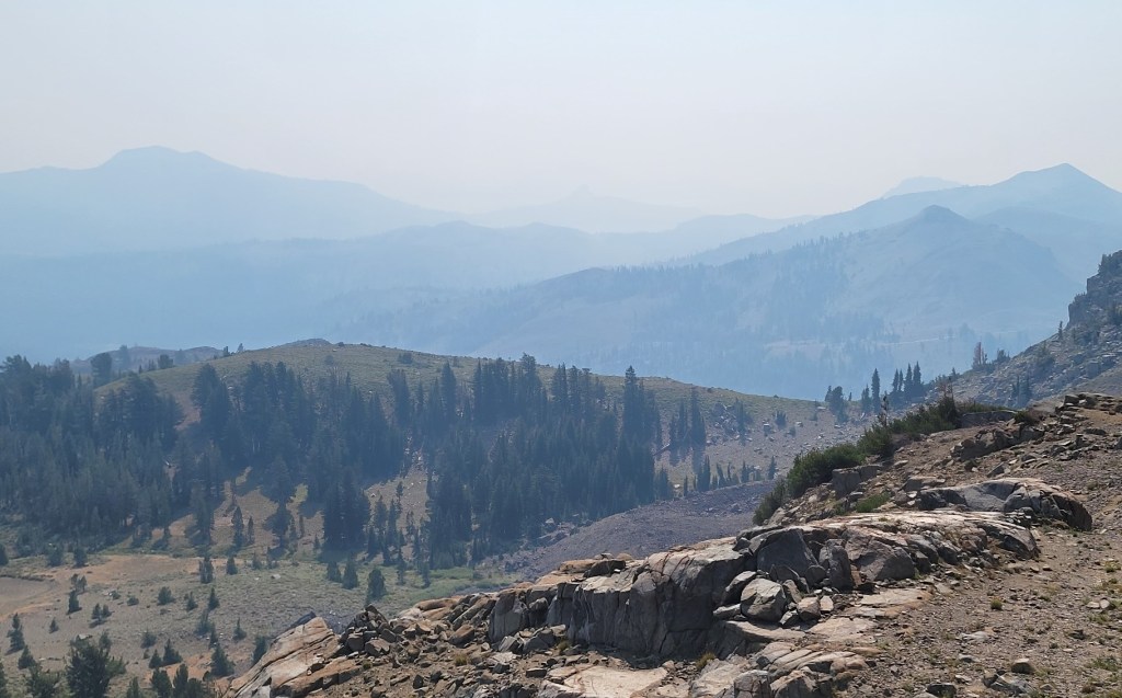
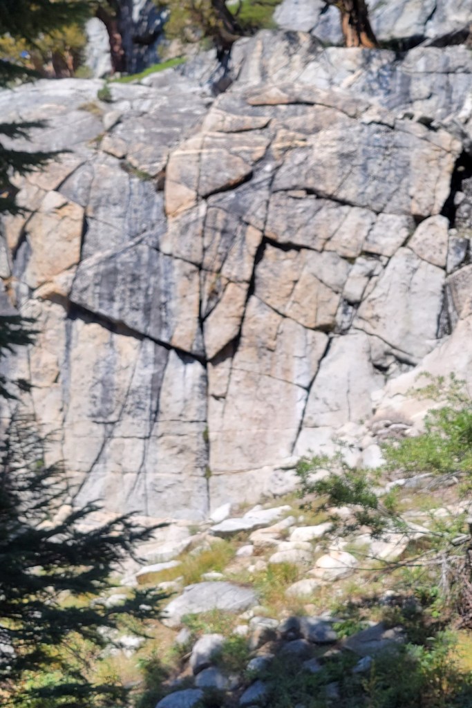
I ended up getting off the trail near Independence due to smoke from the active fires in Sequoia National Park. On several days during the last week, visibility was less than 1/2 mile. The picture-perfect views one expects in the Sierra were either non-existent or transformed into depressing grays and browns. More important, I had developed a smoke-induced cough and I didn’t want to permanently impact my health.
The trail will be there next year. Let’s hope that most of the green forests it passes through will be there as well.


Back on the Trail
c) Andrew Carter, 2021
The Forest Service has reopened most California National Forests. I will be back on the trail on Friday, 9/17. I have 270 miles to hike from Reds Meadow (backside of Mammoth Mountain) and Walker Pass (east of Bakersfield and Lake Isabella). If everything goes well, which means no new wildfires, I should finish in 18 days, 10/4.
That will leave 665 miles for next year — 15 miles near South Lake Tahoe which I had to skip because of the Caldor Fire and 650 miles from Santiam Pass, OR to the Canadian border.
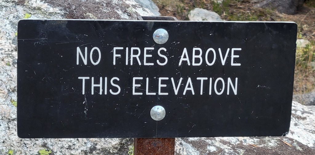
There are currently two active fires in Sequoia National Park, but neither is currently near the Pacific Crest Trail and the trail is open. Let’s hope it stays that way.
Itinerary to Date
c) Andrew Carter, 2021
Here’s a day by day summary of my itinerary to date. Not counting zero days, I’ve hiked 112 days since I began my hike on April 3rd and I’ve covered 1731 miles. That’s an average of 15.5 miles per day
If the National Forest Service reopens the California National Forests, I hope to get back on the trail at the end of the week. My goal is to complete all of California this year except for the 15 miles of trail I skipped near South Lake Tahoe due to the Caldor Fire. That would leave for next year this small California section plus the 650 miles of the Pacific Crest Trail from Santiam Pass, OR to the Canadian border.
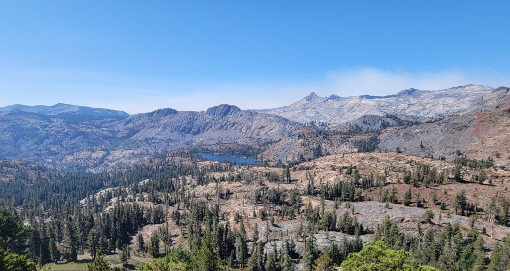
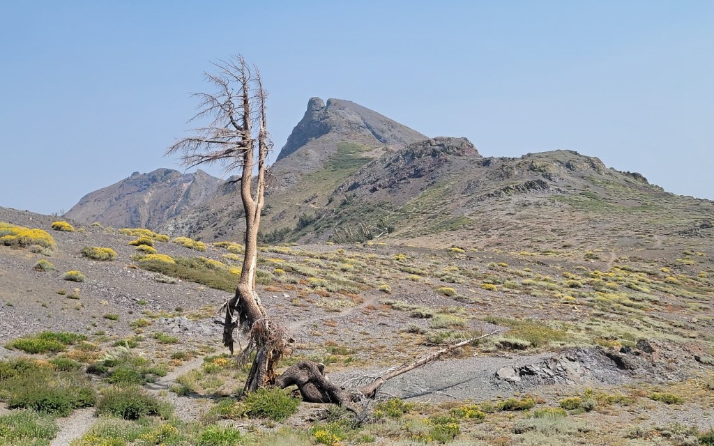
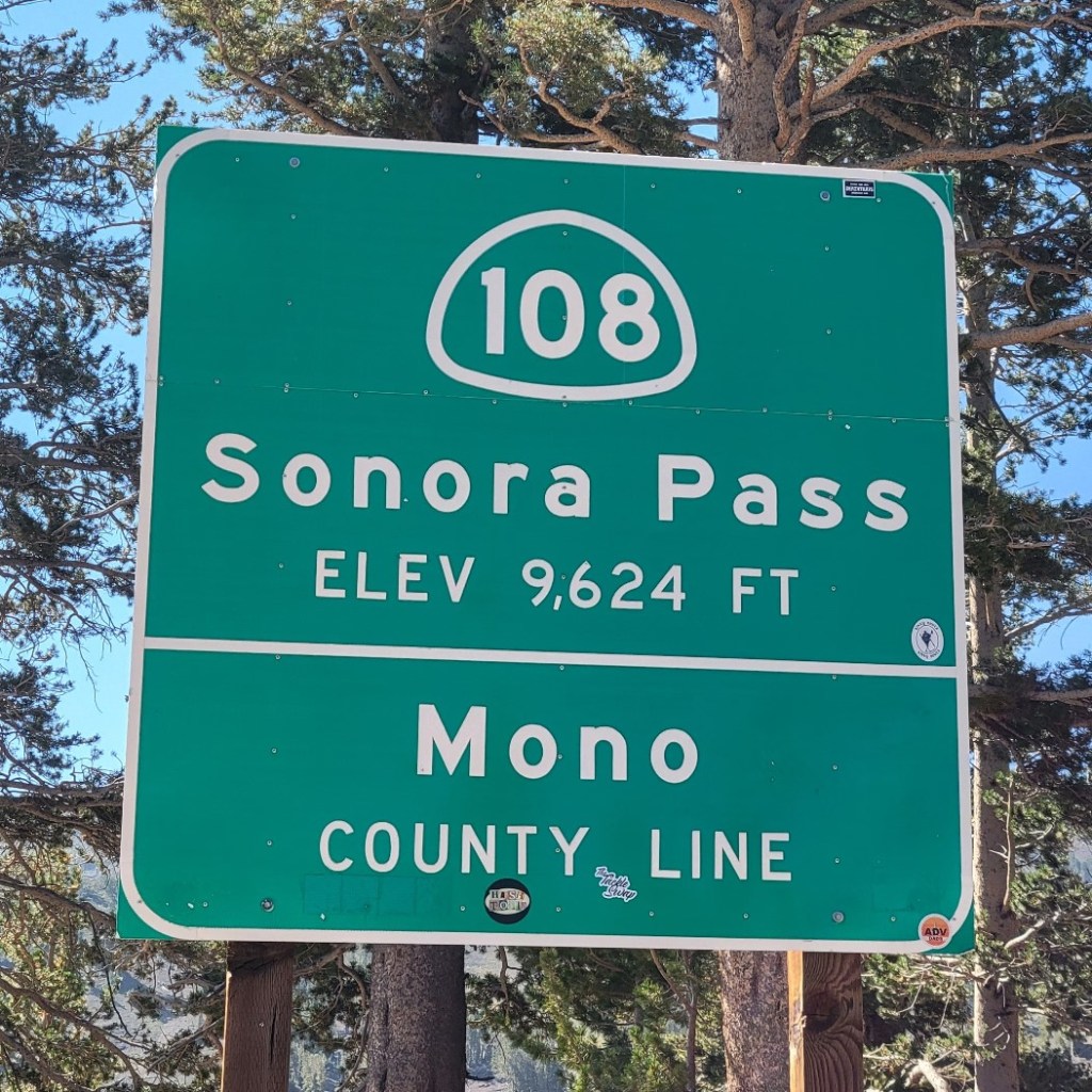
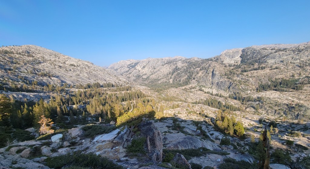
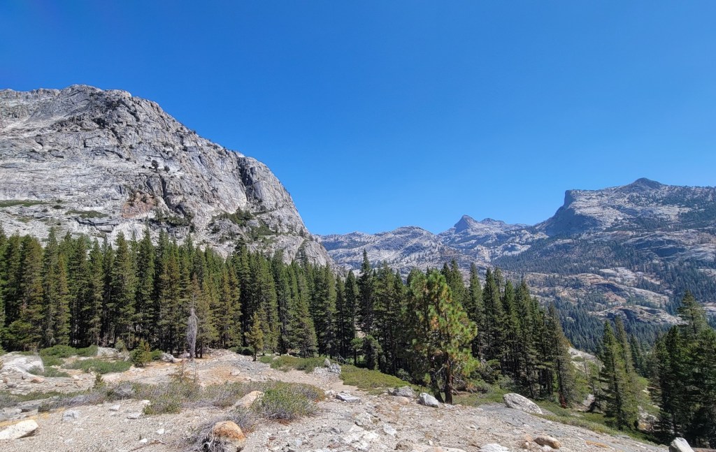
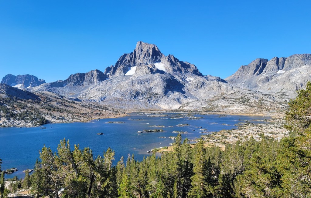
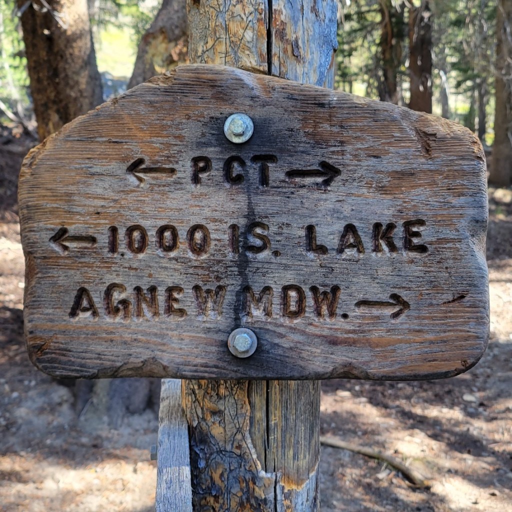
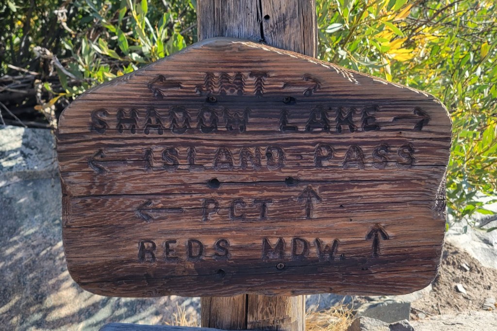
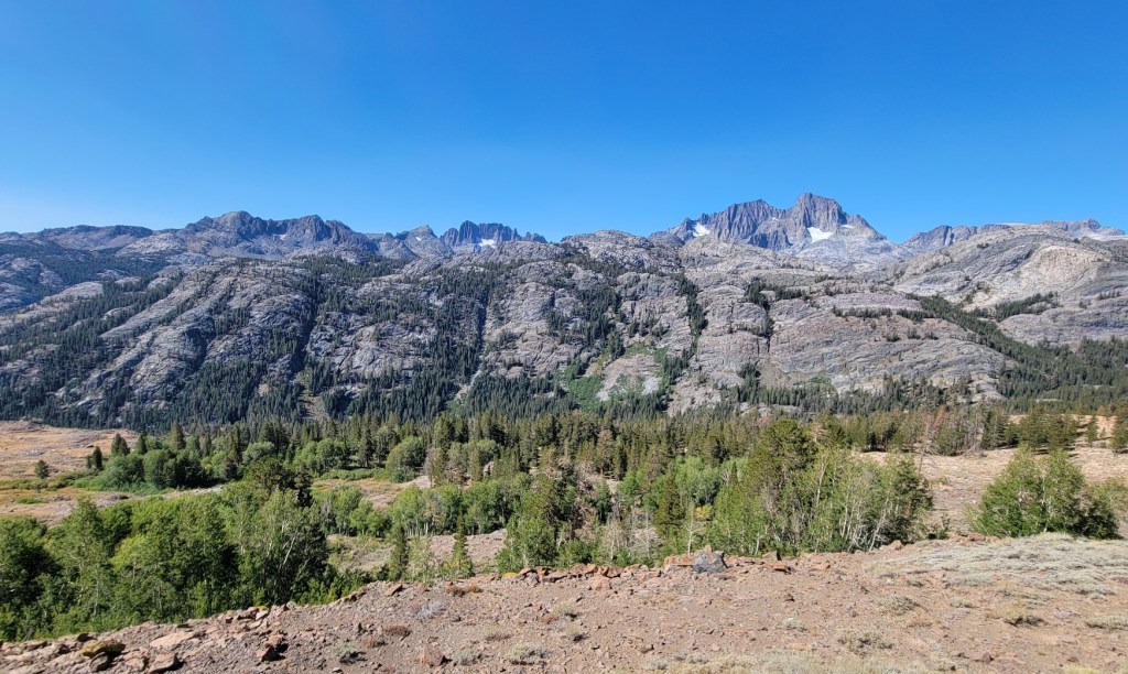
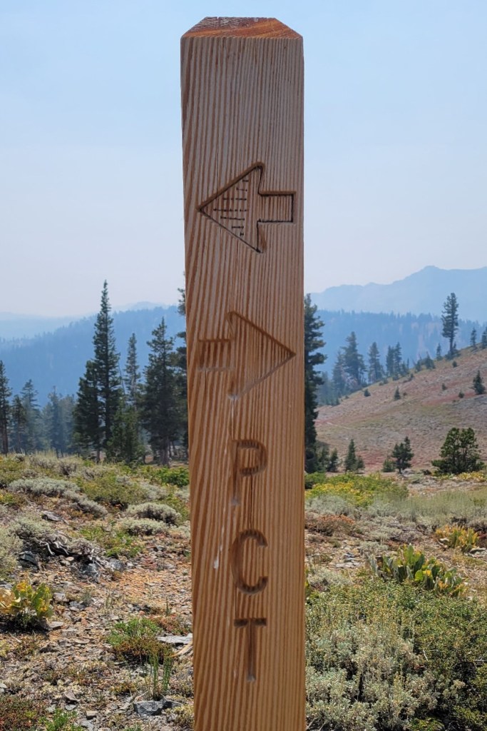
Sierra City to Mammoth, Part 2
c) Andrew Carter, 2021
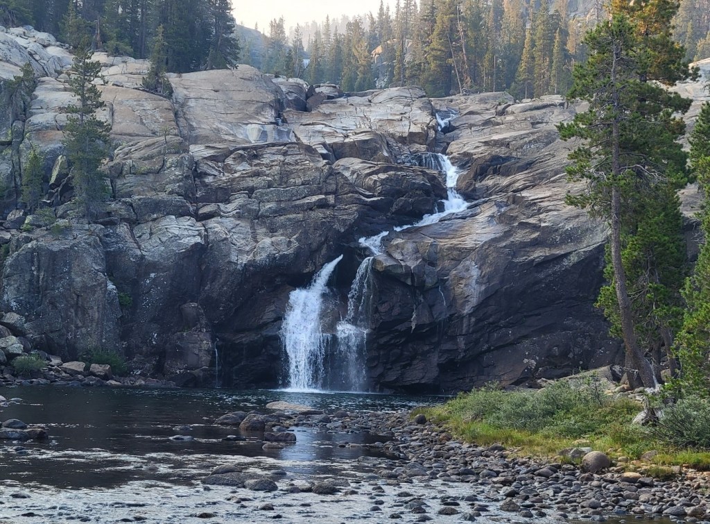
More photos from my most recent trail section on the PCT. I started 8/14 at Sierra City, which is north of Donner Pass. I finished on 8/30 at Mammoth. I’m hoping the Forest Service will open back up the national forests in California so that I can get the remaining 270 miles of California done this year. We’ll see.

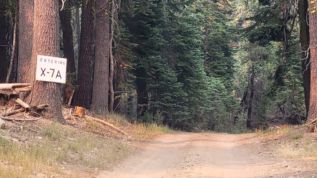
My assumption is that X-7A is a logging subdivision.

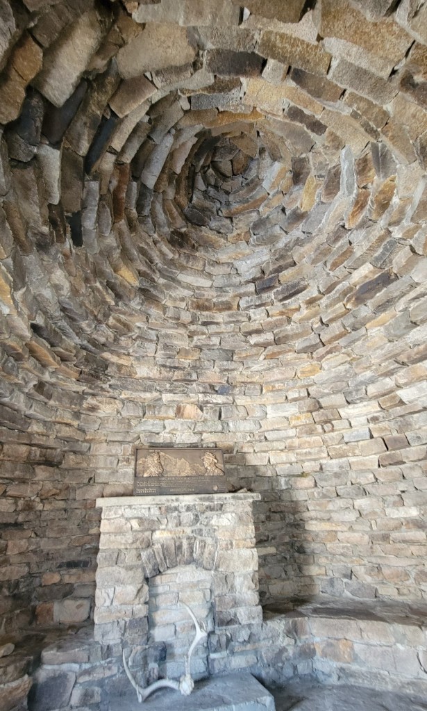
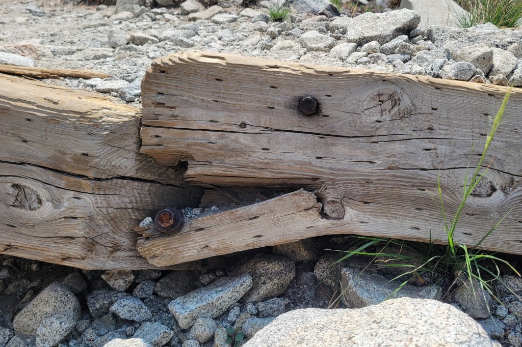
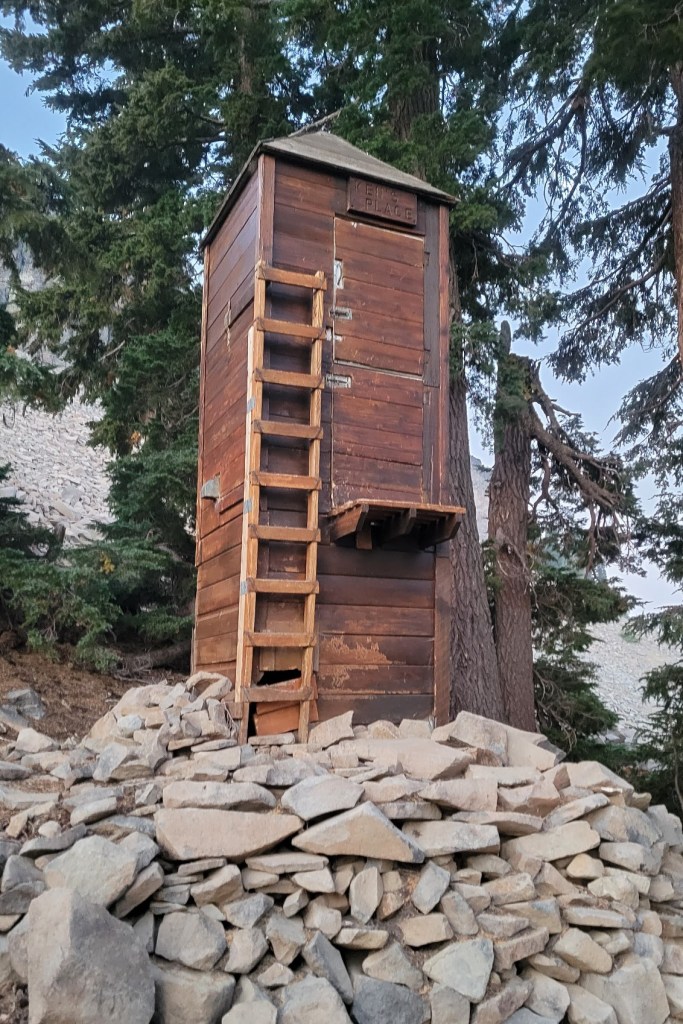
The concrete walls and roof were to keep the snow off in the winter.

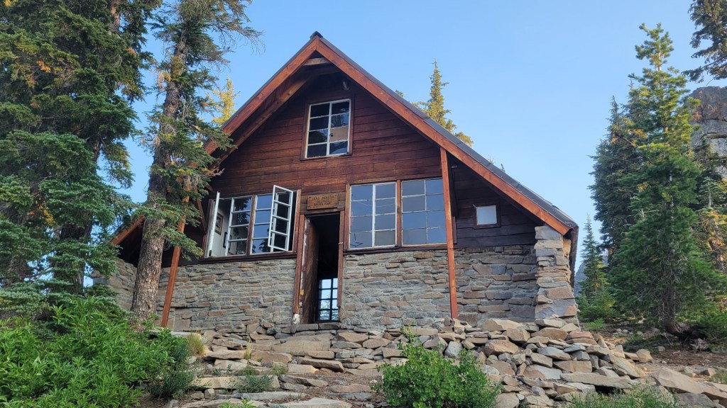
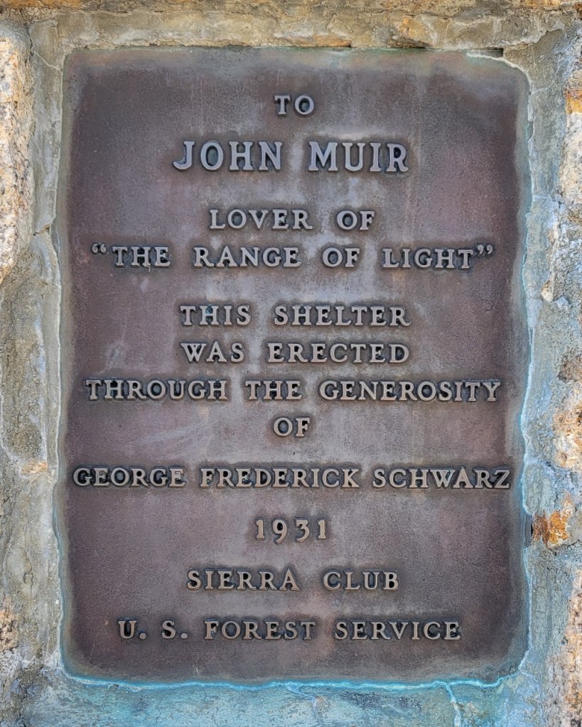
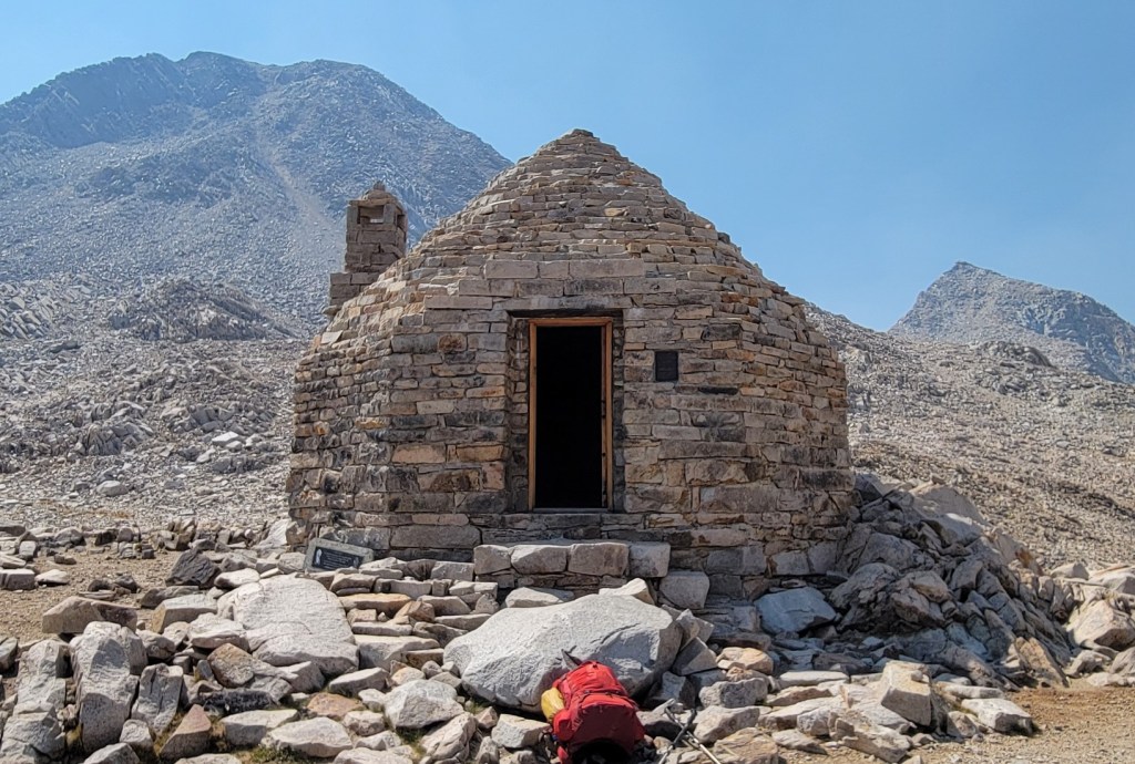
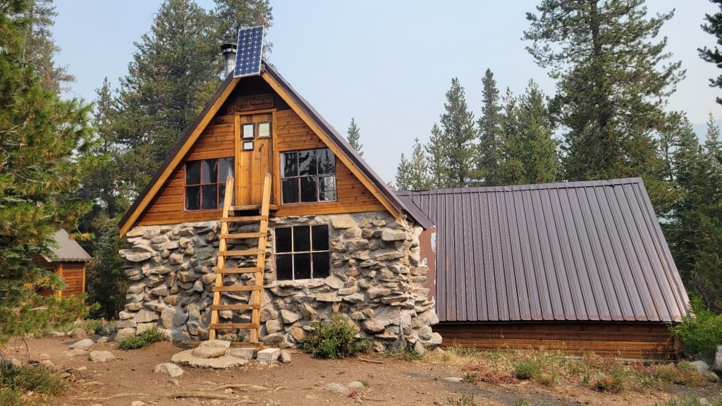
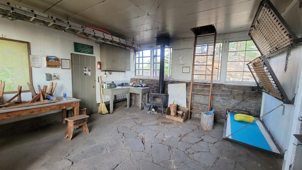
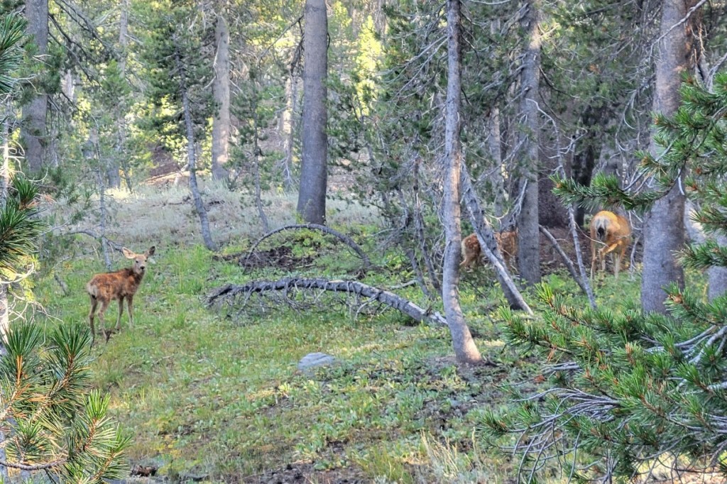
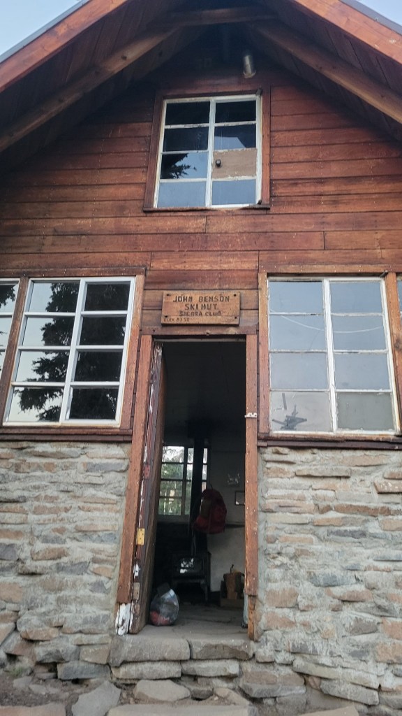
The only shelter I’ve used during my hike so far.


Because of this, the Caldor Fire has not been able to burn into it.
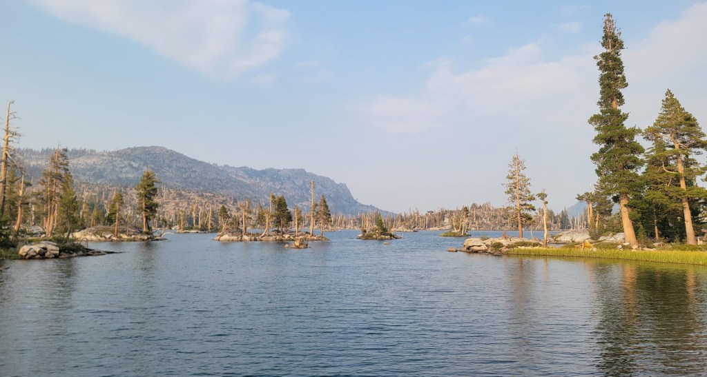
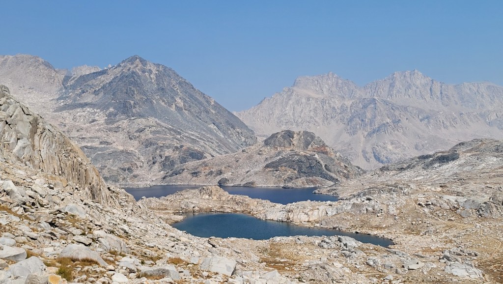
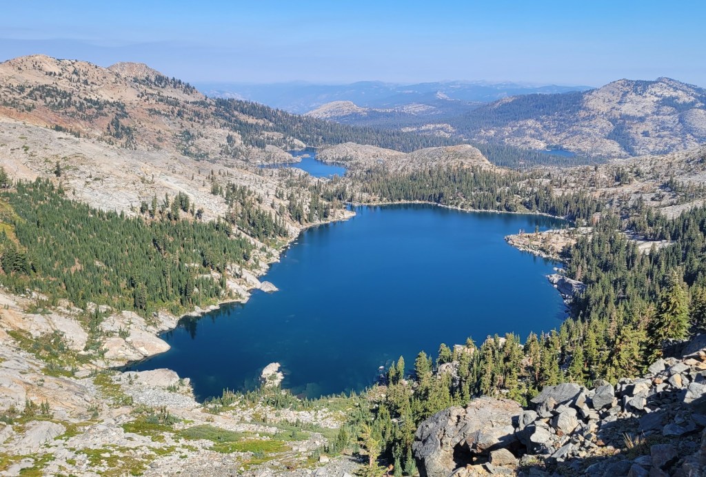
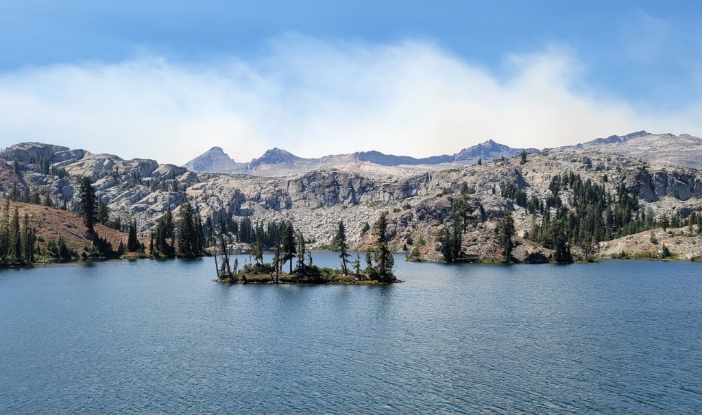
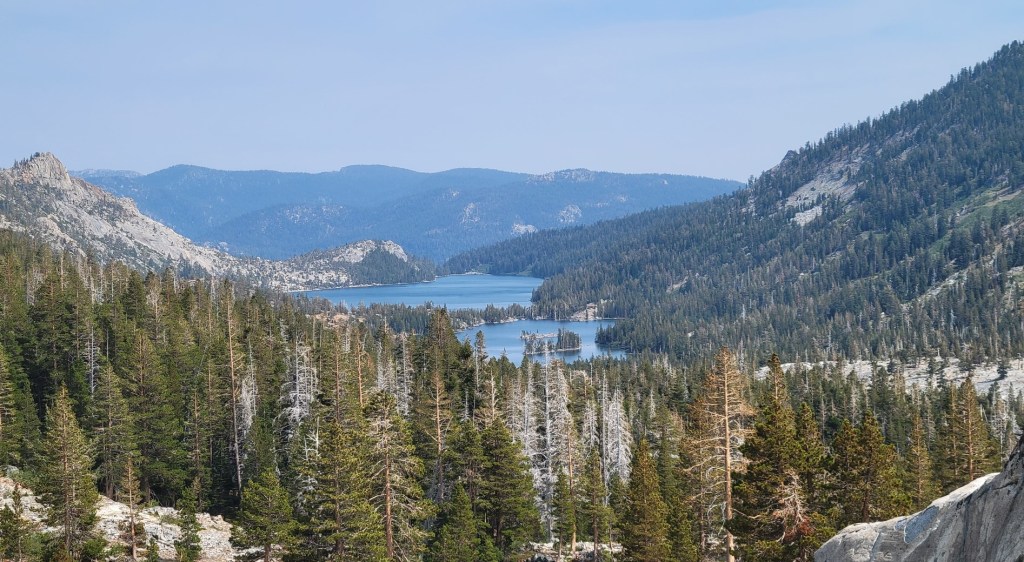
That’s Dicks Lake below.


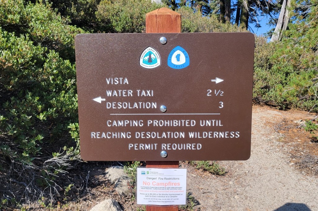
Only three miles. But at least there’s a water taxi.

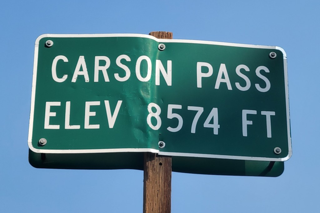
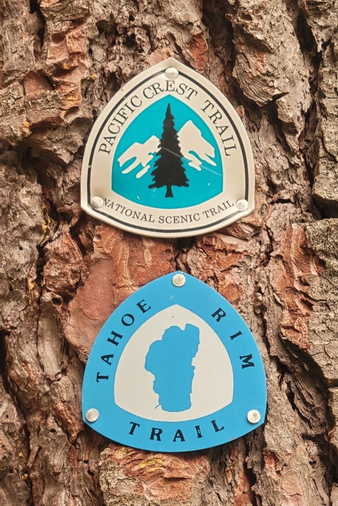
from Echo Summit (US Route 50) to Carson Pass (CA Route 88).


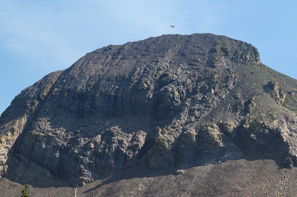
but my guess is that the flag pole was flown up by helicopter.


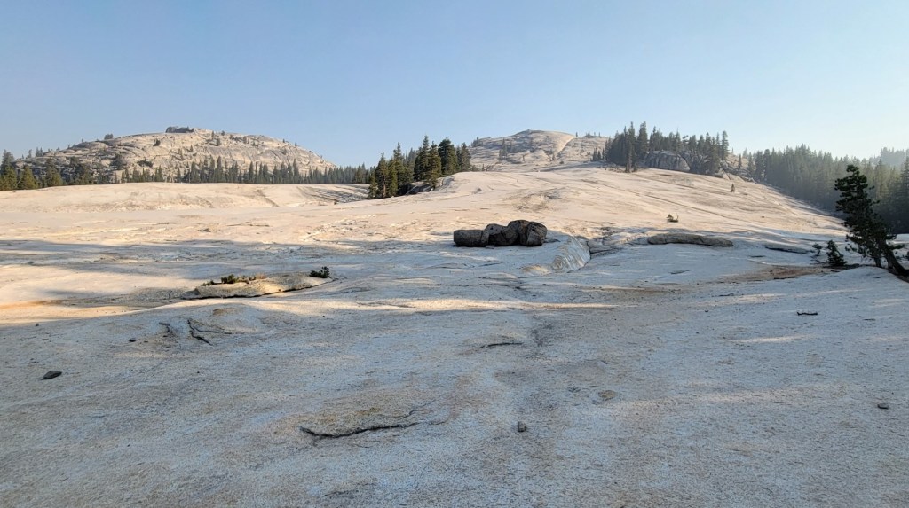
to cross over four or five different north/south creeks which drain into the Tuolumne River.
Between each creek is a ridge to climb and then descend.


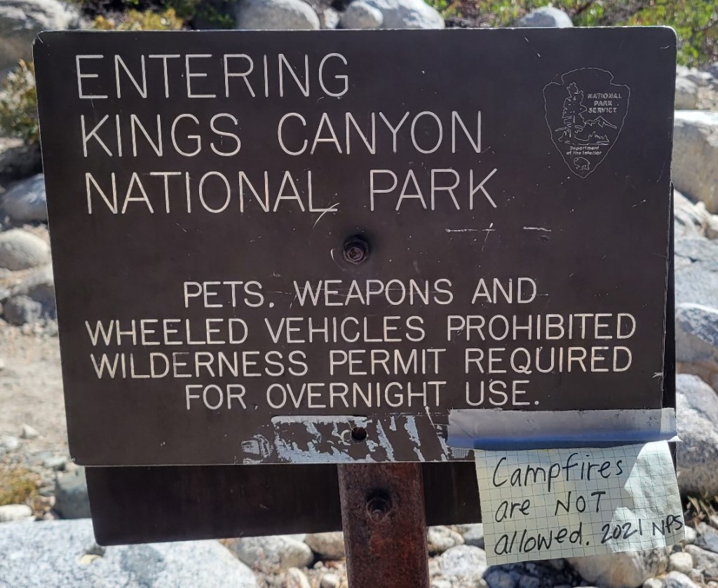
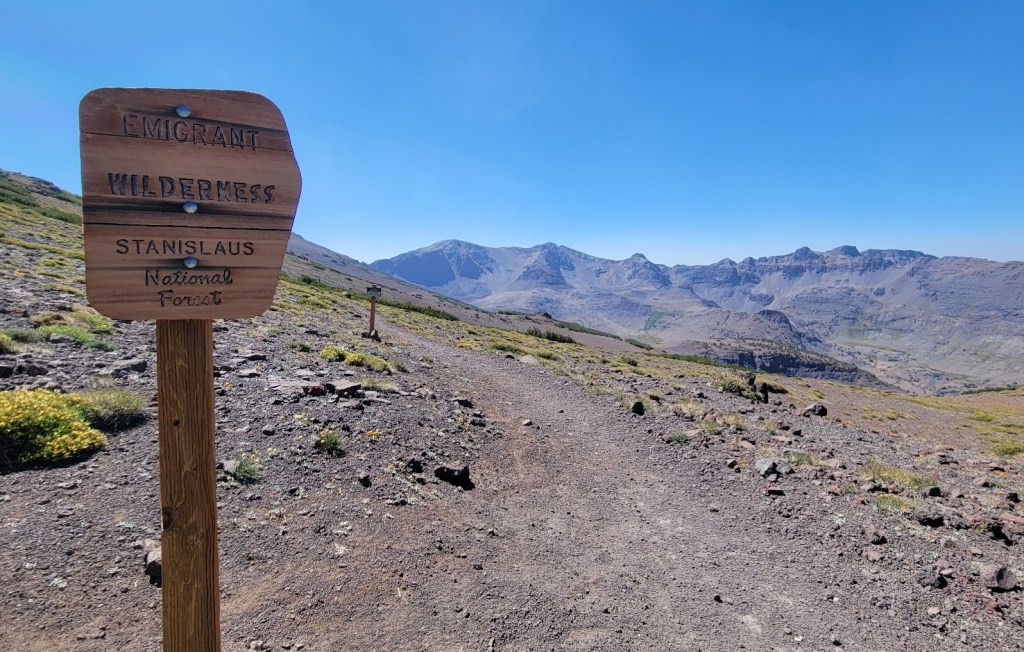
I was forced off the trail here by the blanket closure of all National Forests in California.
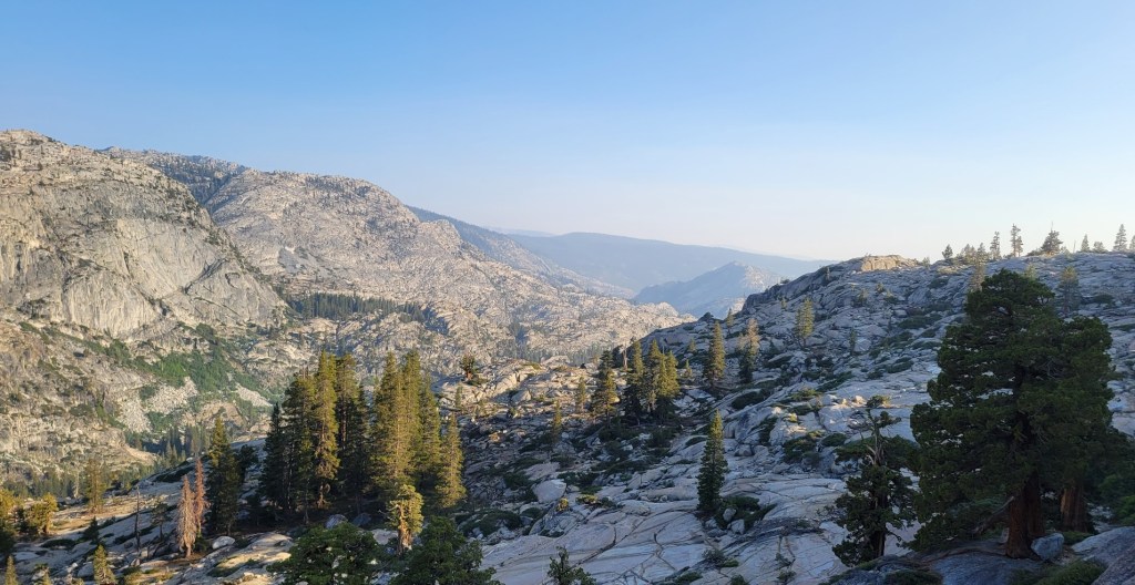
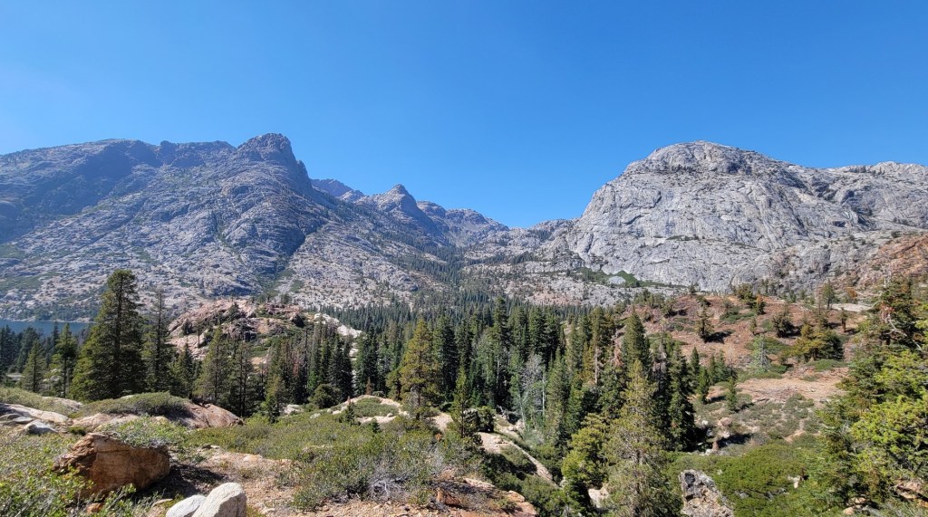
Sierra City to Mammoth, Part 1
c) Andrew Carter, 2021
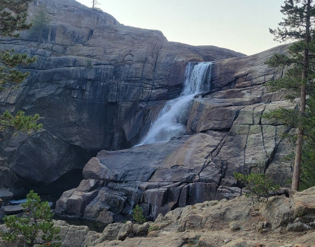
Here is the first dump of photos from the Sierra City to Mammoth portion of my 2021 PCT flip-flop. The blanket closure of National Forests in California forced me off the trail in Mammoth. I had completed 1730 miles of trail since April with 270 miles still to go in California and 650 miles in northern Oregon and Washington.
I’m hoping the California National Forests will open back up before October 1st. If so, I’ll be able to complete the remaining 270 miles in California (16 to 18 days) this year. Under any scenario, the 650 miles in Oregon and Washington (5 to 6 weeks) will have to wait until next year.
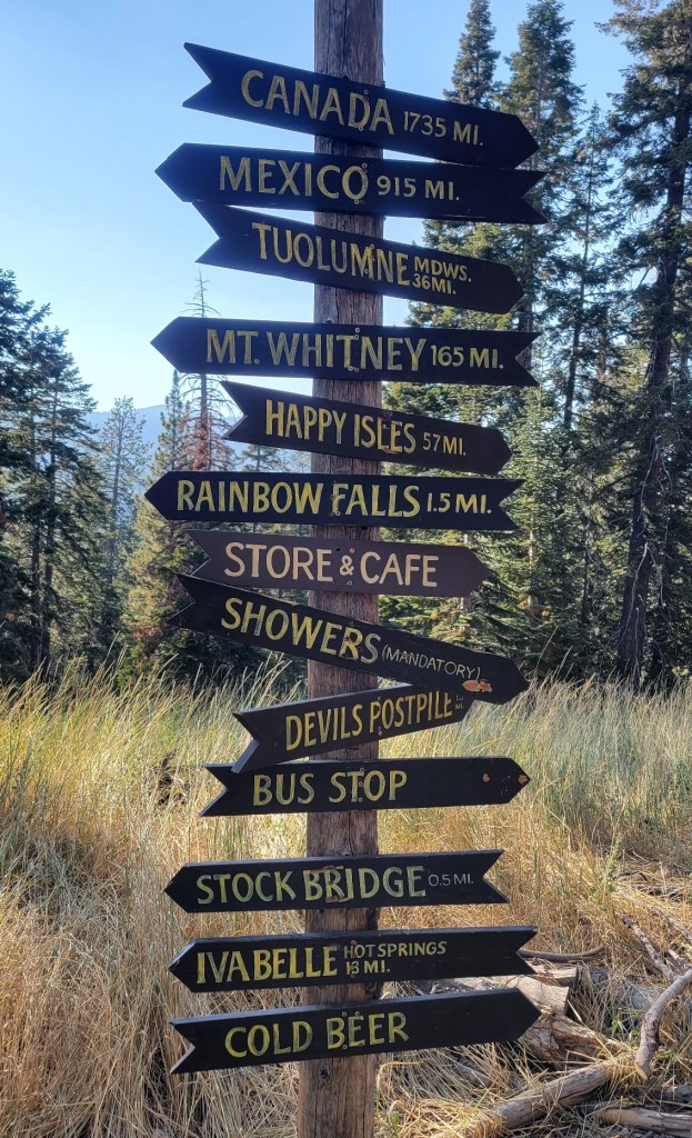
Happy trails.

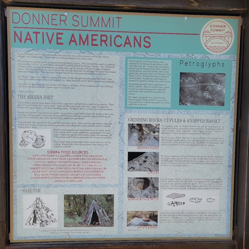

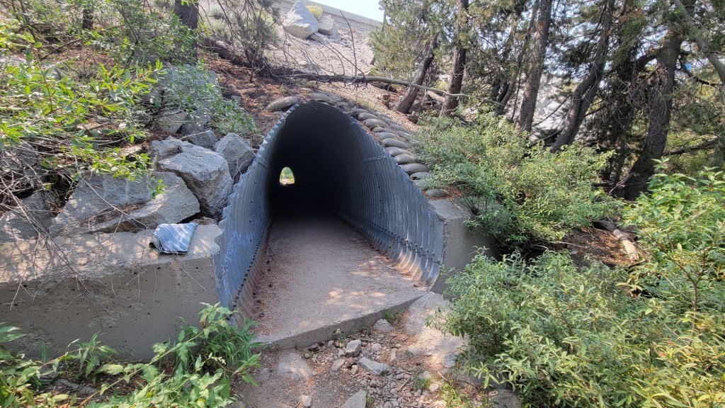
not too far from Donner Summit.

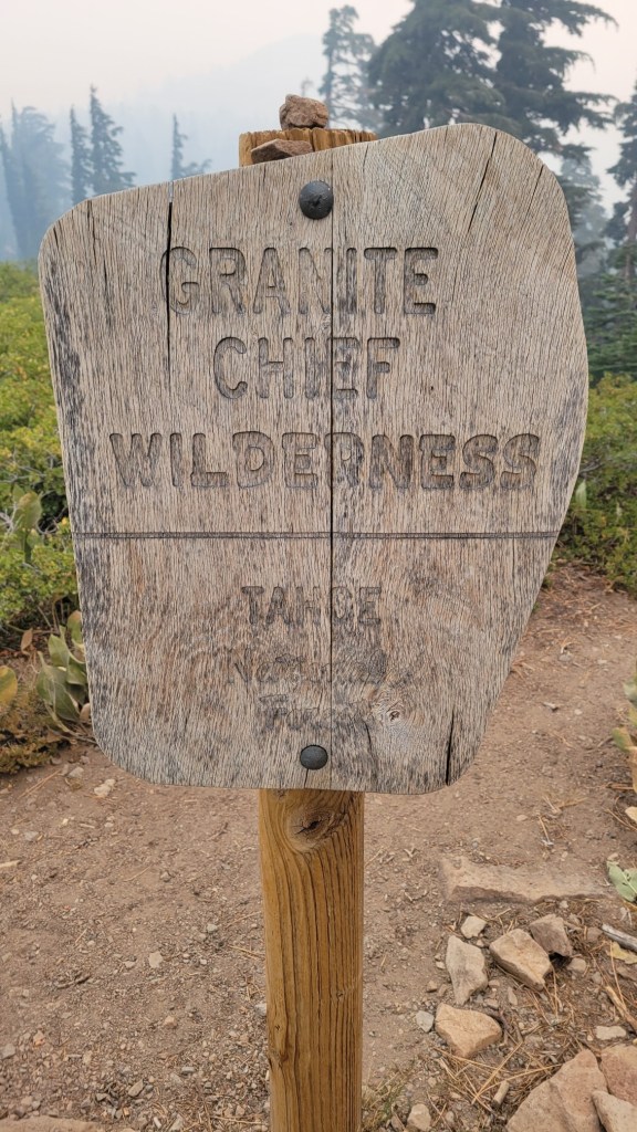
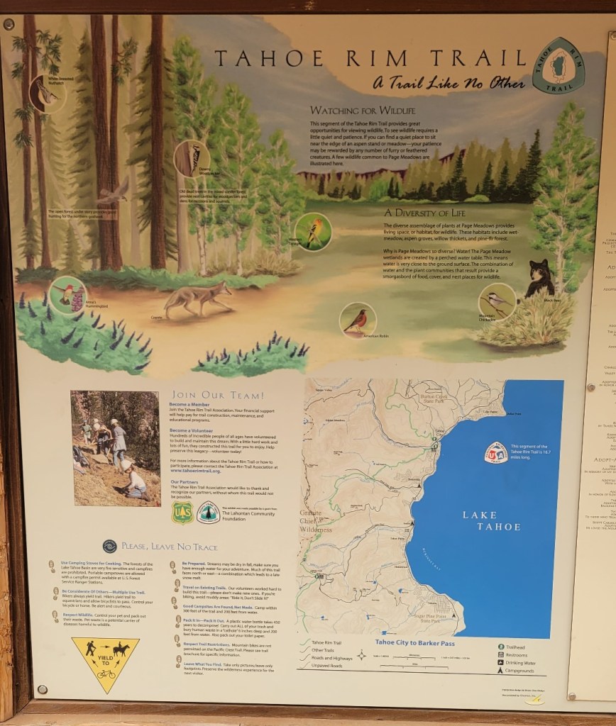
near Tahoe.


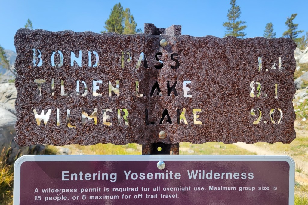
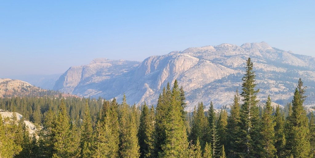
north of Yosemite National Park.
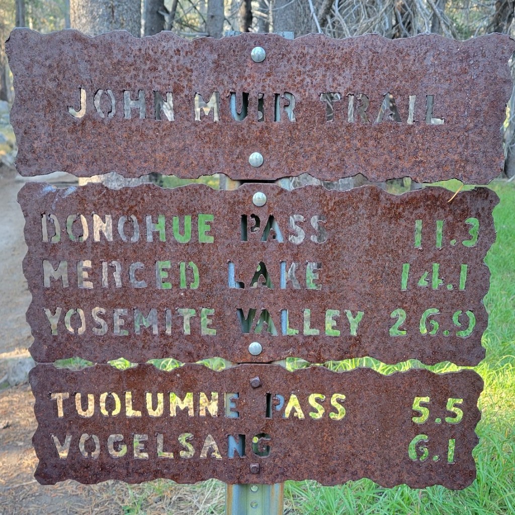
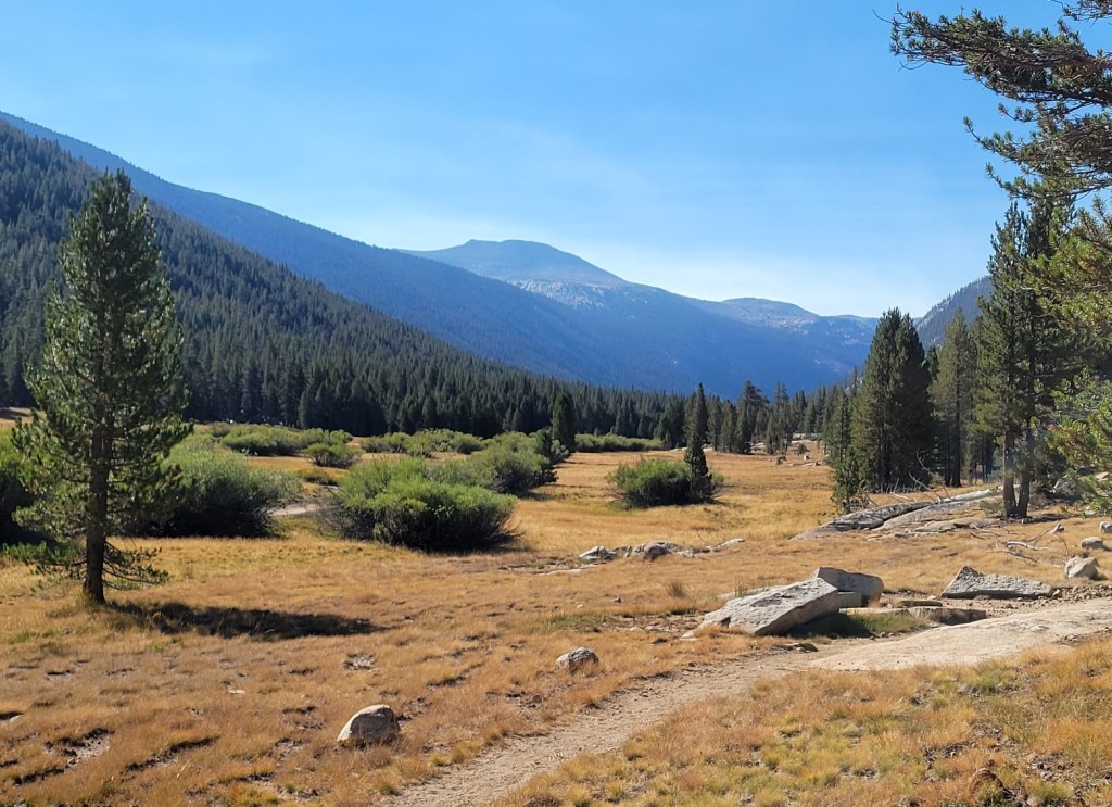
in Tuolumne Meadows


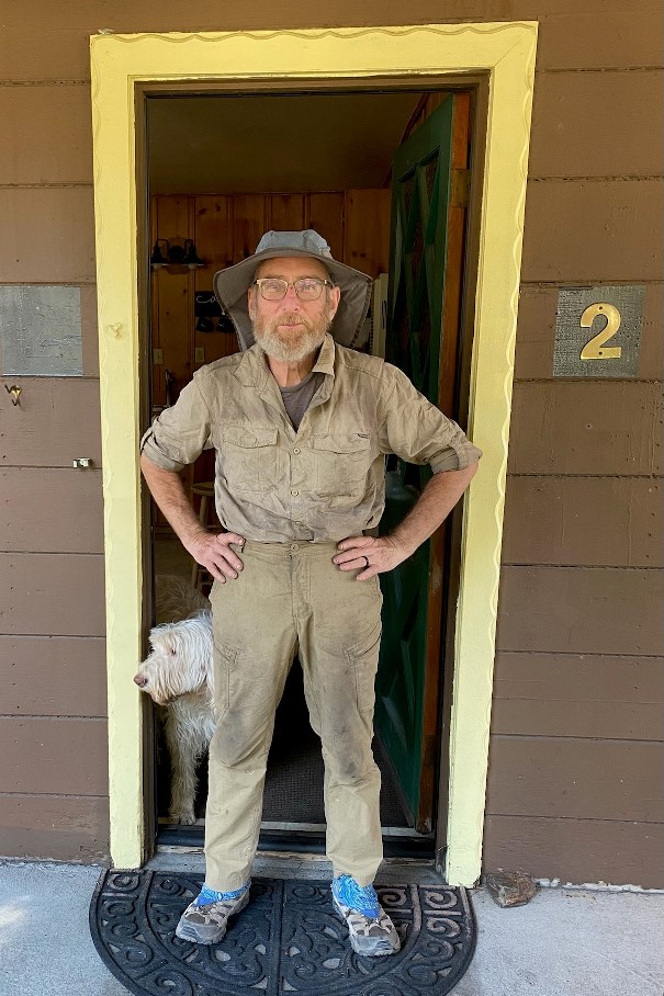
That’s Mochi behind me.
8/29, Donahue Pass
c) Andrew Carter, 2021
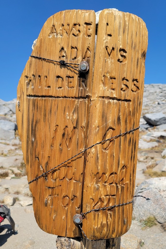
11,100 feet! Leaving Yosemite National Park and entering the Inyo National Forest.
The next day I learned that all the National Forests in California were closed and I needed to get off the trail. 1730 miles in five months. Actually four months of hiking if you don’t count my breaks.
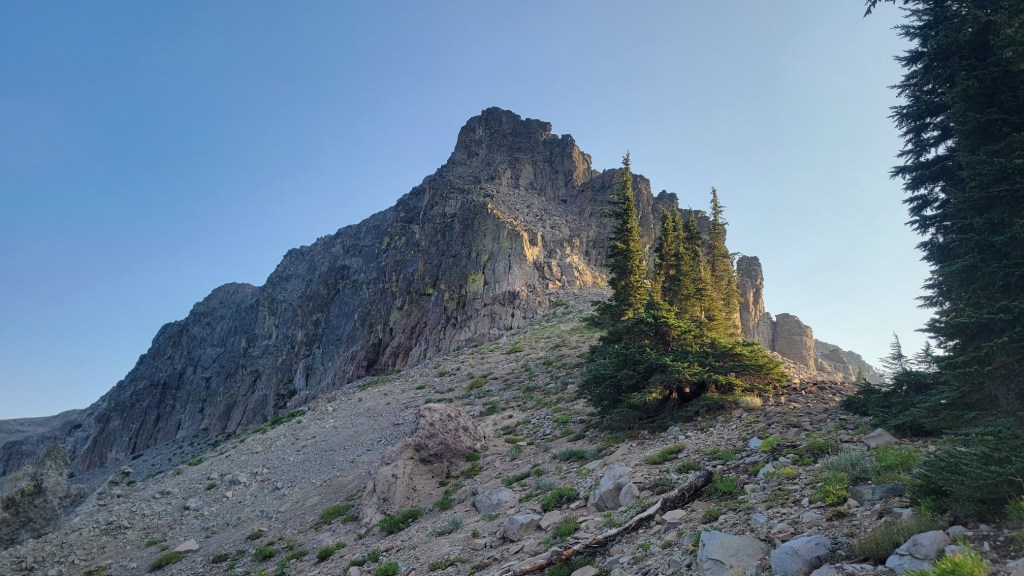
8/21, A Windy Ridgetop
c) Andrew Carter, 2021
It gets windy in the Sierra.
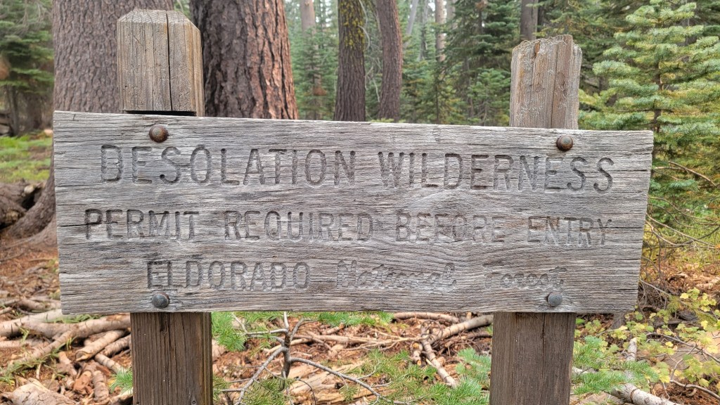
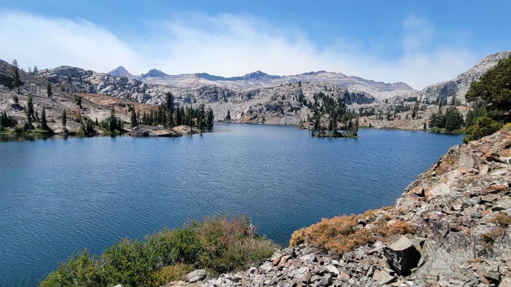
8/19, Dick’s Pass, Desolation Wilderness near Lake Tahoe
c) Andrew Carter, 2021
Just after I recorded this, I learned that the trail I was on was officially closed due to the Caldor Fire. A beautiful blue sky day made me too optimistic.
As I write this three weeks later, this portion of trail hasn’t burned, but the portion of trail I was on at the end of the same day near US Route 50 at Echo Summit, has.
And here’s a photo of the morning sky and sun 24 hours earlier.

